|
2023 was a travel year that had a balance of new and old destinations. I was discovering and exploring new spots while revisiting and discovering new attractions in old destinations. I was enjoying the cold wind atop Mount Pulag to swimming with a sea turtle in Tingloy. I was chomping on Carcar lechon to immersing myself into the cold waters of Tumalog Falls. 2023 gave me a wide spectrum of travel experiences that is for the books. 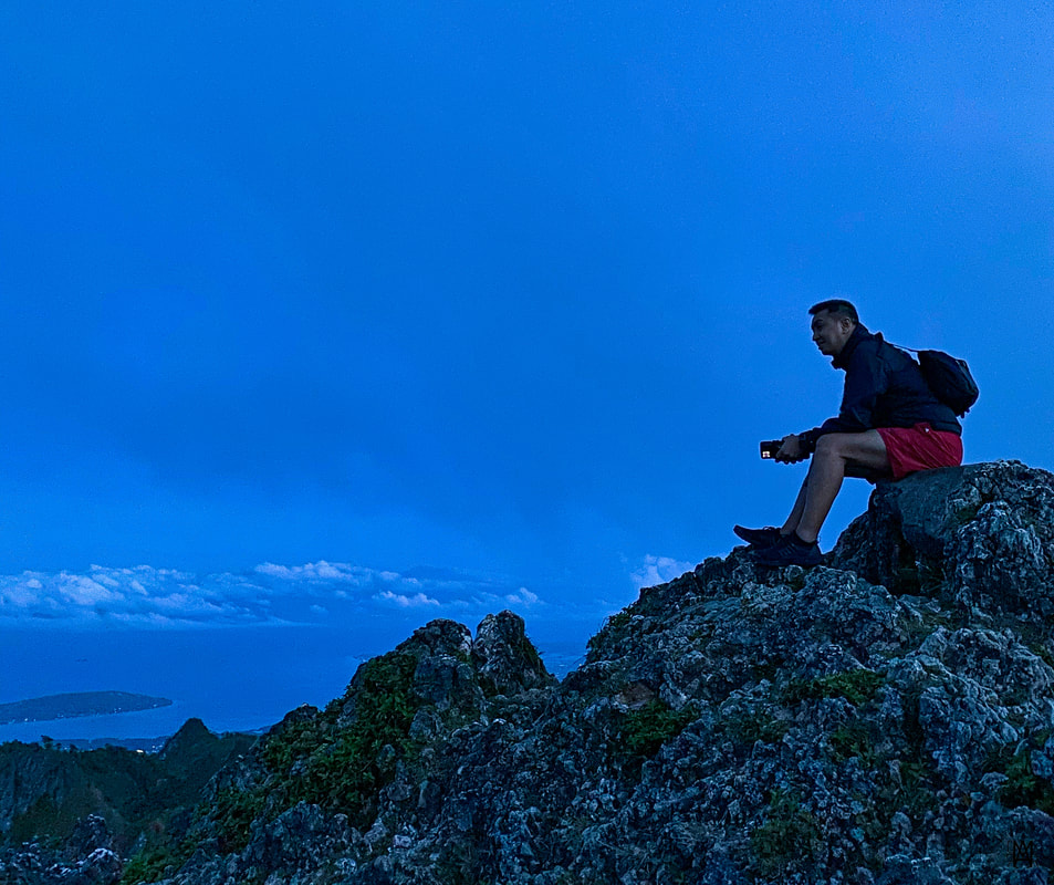 Look back to 2023 and looking forward to more travels in 2024! As I have done in the past, here are my top three destinations for 2023: Mount Pulag Mount Pulag tops 2023’s list both literally and figuratively. Exploring the highest mountain in Luzon was one for the books. It was physical exhausting and it was REALLY cold. Needless to say, the views, the sunrise, the sea of clouds, and the experience was the best reward after four hours of trekking to 2,928 meters above sea level. 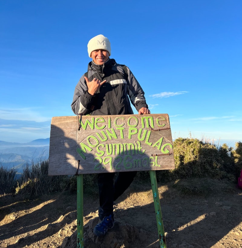 Standing at the highest point of Luzon. If I were to sum up my Mount Pulag in one word, I would say it was REWARDING. We took the easiest trail to the peak - the Ambangeg Trail. We started the hike from the Babalak Ranger Station at 1am. It would take us about 4 hours to get to the peak. We traversed the trail in the cold and pitch black covers through the pine forest, mossy forest, and open grasslands. We were treated with a nice view of light trails of hiker’s lamps along the trail with the stars twinkling in the background. The last stretch proved to be the toughest for me because I burned extra energy when I went off the usual trail. But I am glad that I kept pushing.
The view of the early morning light breaking through the horizon was just majestic. The view of a day breaking is different from the usual beach mornings. It was a perfect reward from all the huffing and puffing. The view of the sea of clouds is better seen by the naked eye rather than in pictures. Exploring the “playground of the gods” taught me that pushing your limits can get you further. You can read about my Mount Pulag here: Pulag Sa Katotohanan Or you can also check out my YT travel video here: Carcar City, Cebu I have FINALLY explored the city of Carcar in Cebu. This is the city that I have passed through a lot of times and has piqued my interest because of the old houses that line its main highway. Of course, who would also miss out on the known fact that the city is known for its tasty and juicy lechon or roasted pig. My renewed interest in history and my love for lechon placed this city on my list for quite a while now.  Enjoying the history and taste of Carcar. A work-related trip gave me the opportunity to finally do a quick tour of this city. Just an hour away from the Queen City of the South, I was totally amazed by its heritage houses from the Spanish and American period that lined its street. The city gives you a glimpse of the town’s colorful and painful past from the hands of colonizers, spanning centuries, and how the community interacted with them. There are only a few towns that has managed to keep these historical structure intact through the years.
And then we have the lechon! Hands down to the juiciest lechon that I have ever tasted. Cebu trips was not complete without having a mouthful of lechon but Carcar has redefined this usual itinerary to no trips to the south of Cebu is complete without a quick lechon stop in Carcar. No doubt, I had my mind blown away and tummy stuffed after visiting the heritage town of Cebu. You can read about my Carcar history and food adventure here: Quick Bits and Eats of Carcar Or you can check out my YT Carcar travel video here: Sinulom Falls, Cagayan de Oro A “plan B” trip led to my most REFRESHING discovery in Cagayan de Oro. I consider the city to be my hometown and I have always had CDO as a whitewater rafting destination. But the urban expansion of the city has led to new “discoveries” and one of that destination is Sinulom Falls. The city is now more than just a white water rafting hotspot but a destination that offers a wide range of activity for any kind of traveler.  Sinulom Falls is a discovery because of the development of the city. This spot in the hinterlands of the city is popular for two attractions - the Sinulom Falls and the Bolao Cold Spring. The waterfall is unique because it literally lies along the boundaries of Misamis Oriental and Bukidnon. The waters cascade along the rock walls of Bukidnon into the Cagayan River but the best view point of Sinulom is on the side of Cagayan de Oro. The falls is a series of cascades over a steep rock wall and vegetation. From the vantage point, it would seem that the mountain is shedding tears into the river.
A separate cascade flows down the mountains into a series of pools upstream. This is the Bolao Cold Spring. The resort is a great way to chill down after enjoying the views of Sinulom. I got to enjoy cooling down from the afternoon sun in its cold waters. The “discovery” of Sinulom is an example on how development helps us discover new attractions that was once enjoyed by the locals. You can read about my Sinulom Falls adventure here: The GOLD Tears of the Mountains of De Oro Or you can check out my YT Sinulom travel here: POST TRAVEL NOTES: #RoarIn2024 I am very excited to usher in 2024 with a new set of destinations that I want to explore. I could see that i would having more plane rides this year as my work has also expanded that would allow me to regularly fly to may happy place - Cebu. This year is going to be roaring with the following destinations on my list: Sorsogon - One of the last 14 provinces that I have yet to visit to complete my #GOT82 project. I am thinking of going for a backpack trip so I can enjoy the rush of moving around. Biri, Northern Samar - Rustic and beautiful. I would like to see the rock formations face to face. I have had several attempts, it has got to happen this year. BaSulTa - Stands for Basilan, Sulu, and Tawi-Tawi, Mindanao is one of the prime destinations in the Philippines. We need to give its natural and cultural beauty more spotlight. The world needs to see it. Aloguinsan, Cebu - I have a new project that puts Cebu on the spot. I am visiting one municipality or city at a time. Aloguinsan is on my list this year. I would like to camp out like a hermit. Jomalig, Quezon - Another destination on my list that I need to cover this year. Time to for gold this summer. I am positive that 2024 is going to rock. I want to get my rhythm back in traveling so I can finally complete the last 14 PH provinces of my #GOT81. This year I going to be exciting and I want to bring you with me to more exciting PH adventures. Welcome to 2024! #MahalinNatinAngPilipinas #SamaSamangBabangonMuli
1 Comment
This day trip adventure turned out to be one of my funniest adventure this year. What started out as a search for a giant’s cave ended with a dirt trail ride to a closed attraction and a swim in a clear pool to amusement of locals. From a place made popular by the pastry, comes a trip that had us bawling in laughter over the stories and adventures in Argao. 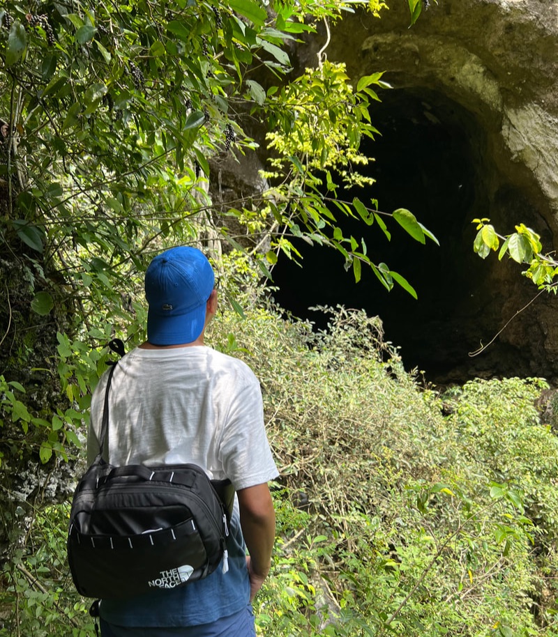 The search for new adventures starts in Argao now. Argao is one of the baking towns of Cebu, together with Liloan and Santander, and is THE “Torta Capital of Cebu”. The torta is a local pastry that stems its roots from the town’s Spanish roots. Coming from this gastronomic perspective, the town is rich with stories that give you a preview of its vibrant past. Its outskirts have natural attractions that will give you an opportunity to share a smile and an adventure with its locals. The fusion of its stories and adventures make the town a perfect spot to enjoy, even for just a day. Baluarte de Argao Let me start the our Argao adventure with the Baluarte de Argao. Let me first put some context on the significance of the baluarte. The south side of the Cebu, the coastline facing the Cebu Strait, is lined with baluartes that was commissioned by Fray Julian Bermejo. These watchtowers, that are lined along the coast from Carcar to Santander, are part of an elaborate system that warned locals of an impending Moro attack. Some of these coastal watchtowers are in ruins while some, including that of the Baluarte de Argao, were “rebuilt” for re-use. 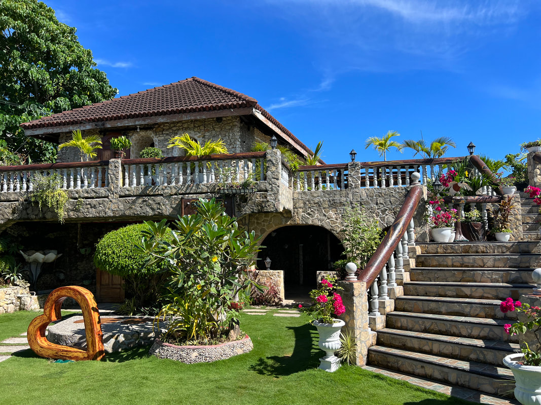 This is now the present look of the Baluarte de Argao. The Argao Watchtower is located inside a private resort aptly called Baluarte de Argao. The ruins of the baluarte were incorporated into a modern structure that functions as a wet restaurant/cafe. You won’t get to see any semblance of the baluarte in its current state. You would only know that it was once a baluarte from the pictures displayed showing its ruined state prior to the construction. Part of the watchtowers base were incorporated into the new structure. You would get to see part of the ruins when you enter the room on the first floor.
As much as we would like to appreciate the attempt to put some value on the baluarte ruins, it has lost its heritage value with how it was re-used by the private owners. Argao lost an opportunity to have it recognized as a national treasure considering how the baluarte is part of an elaborate system of military communication during the Spanish period. This is a solid example on how we need to improve on how we value our history and heritage as Filipinos. Puerta Marina and Puerta del Sur There are two “gates” that lead to the town center. The Puerta Marina is the gate that faces towards the sea. The “puerta” sits within close proximity of the baluarte and, with the width and breadth of the gate, it probably served as a structure for defense of the town against Moro raids. 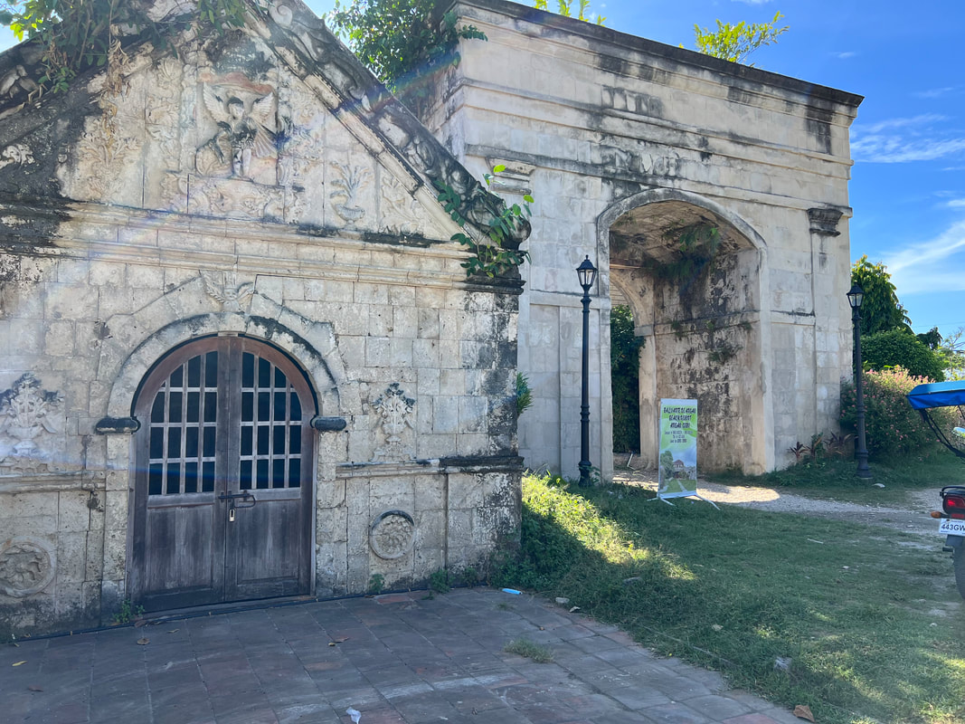 A framed shot of the well-preserved Puerta Marina and Capella Murtuario. Notice how thick the walls of the gate that faces the sea.
There are two other gates that stand opposite each other in the town center. Both gates leads to the front of the church. These gates probably served as the entry point if you are coming from the adjacent inland towns. The three gates seemed to stand as safe keepers of the church and the local government. The area could have been fortified during that time as most of the heritage structures within the gates have been well-preserved. Capella Murtuario Standing adjacent to the Puerta Marina is a small chapel - the Capella Murtuario. Made from coral stones and lime mortar, the small chapel is believed to be the same age, or even older, as that of the Argao Church. There are two versions as to how the church was used. The first as a mortuary chapel for highlanders hold wakes, even those of criminals, before being laid to rest at the cemetery. 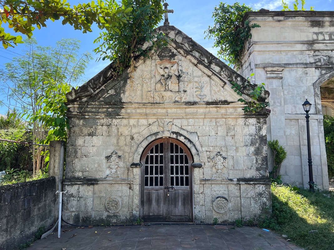 The Spanish-period Capella Mortuary was discovered after a hospital structure, previously built in the area, was demolished. The chapel is also believed to be used as a house of prayer for stillborn and unbaptized babies. This belief is strengthened by the relief of St. Michael the Archangel rescuing a baby from the mouth of the devil at the top of the chapel’s facade. The chapel is adorned with intricate reliefs depicting flower arrangements and the purple hue of the altar, depicting innocence, all indicate that the chapel was for the used as a latter. How the chapel was used can still be subject for discussion but what is certain is that it served as a mortuary chapel as shown on the skull with an hourglass relief atop its doors. 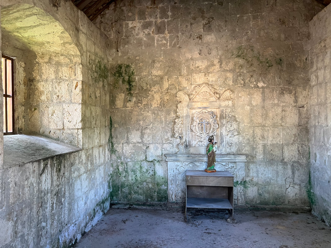 The altar of the small chapel originally had a purple shade indicating innocence which may indicate that it served as a chapel for stillborn babies.
The chapel was kept hidden for 40 years and was only “revealed” after a hospital structure was demolished. The great things about this discovery is that it did not suffer a similar state of the Baluarte de Argao. The Capella Murtuario was restored to its former glory giving as a glimpse of the beliefs and customs of locals during the Spanish period. Argao Church Complex The heritage block of Argao is composed of two areas - the church complex and the government complex. At the center of the church complex is the Archdiocesan Shrine and Parish of Michael de Archangel. The Argao Church was established in 1733 and a first church was built in 1788. The present stone church and the convent were built from 1803 to 1836. The church structures, made of coral stones, were fortified to serve as a fortress during Moro raids. 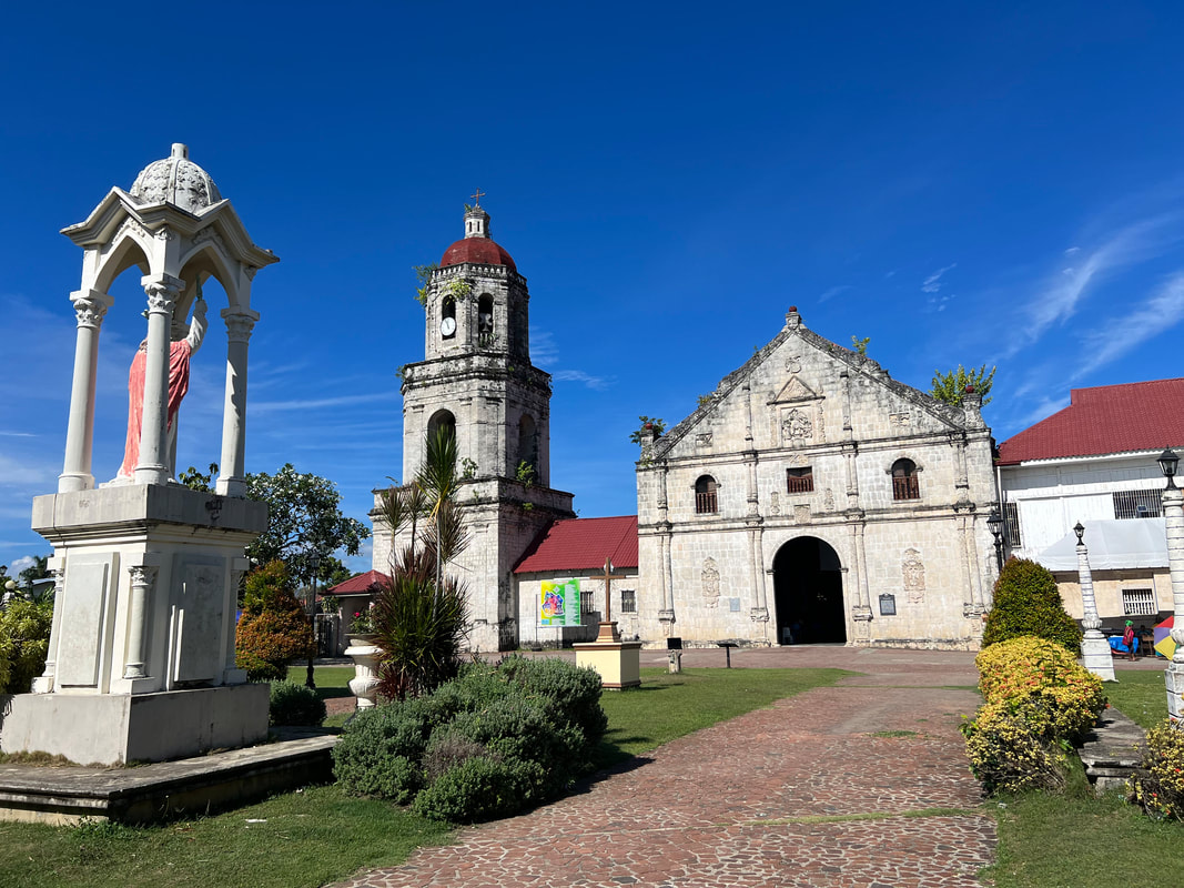 The beautiful and elegant Archdiocesan Shrine and Parish of St. Michael de Archangel in Argao, Cebu. The facade of the church is adorned by intricate stone carvings of angels with the image of St. Michael as its main centerpiece atop the church’s doors. Three windows openings are located on the second level of the church which I presume served as lookout stations during raids. The belfry, completed on 1830, stands adjacent to the church, dominating the skyline of Argao. The church and the belfry stand majestically facing the sea, as if it was a guardian protecting the quaint town.
One thing that really struck me was the beauty of the church’s interior. The church stands out for its beautifully painted ceilings of biblical stories by Cebuano painter, Raymundo Francia, and a Boholano painter. The altar stands in golden hues with images of the archangels. St. Michael Archangel, the church’s patron saint, is the centerpiece of the altar. There are smaller altars on the transepts of the church. 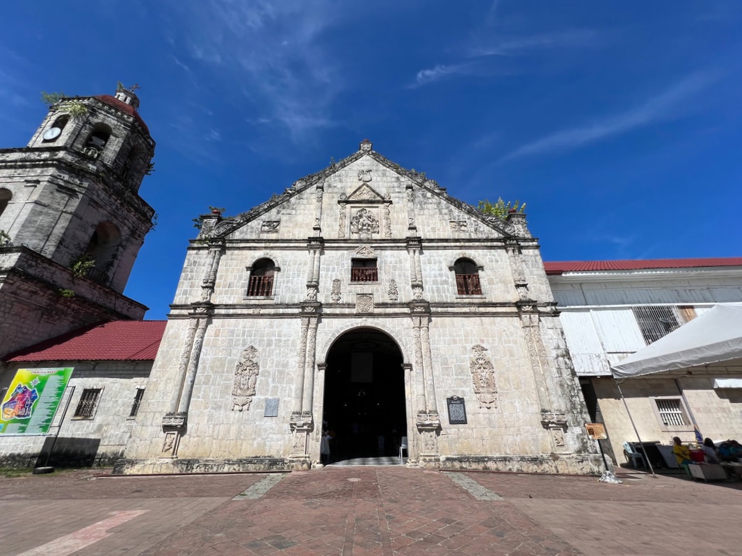 The church and the belfry stands alongside dominating the skyline of Argao, facing the sea like the town's guardian. I could imagine how majestic it looked from the sea. The plaza is surrounded by a coral stone fence. There are small altars mounted on three corners of the plaza where one can offer a prayer. One unique feature of the coral fence is the 14 stone relief depicting the Via Crusis. This feature is unique to Argao. Argao Government Complex Just a stone-throw away from the church complex is the well-preserved Argao Complex. The open park fronting the Casa Real is home to a collection of memorabilias from the Spanish period. An old community well once served as the only source of potable water, news, and gossip in town. Old Spanish cannons, that dates back to the 1600, are on display at the park. These cannons were mounted on the protective walls of the pueblo to protect them from Moro attacks. 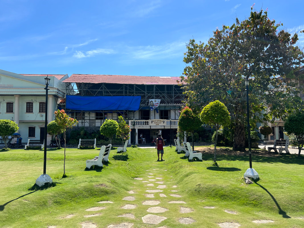 Argao is one of the oldest towns in the province of Cebu. The Casa Real is located on one end of the park. Built in the 1880s, the structure follows a bahay-na-bato architecture where the base and first floor are made of coral stones and the second floor is made from wood. It is the oldest municipal hall in the province and has been under rehabilitation when I visited Argao. The first floor is being utilized as a government offices while a large part of the second floor is under rehabilitation. There are some artifacts on display that showcases the heritage value of Argao.
Adjacent to the Casa Real is another heritage structure that now serves as Argao’s Hall of Justice. The structure was built during the last century of the Spanish occupation and was originally used as an “Escuela de Ninos”. It was later used as a barracks during World War 2 where it was damaged. It was repaired after the war to become a school and later the home of the Regional and Municipal Trial Courts in Argao. The well-preserved church and government complex of Argao gives us a snapshot of the town’s colorful past. The arrival of the Spaniards has strengthened its position in the local economy that paved the way for the building of these infrastructures. It is great to see that a large part of its heritage has been kept intact, largely driven by the strong partnership of its community and the local government. Balay sa Agta From the stories of its colorful past, we ventured inland in search of a local folklore where a giant is believed to have once lived in the mountains of Argao. The giant is believed to have homed inside a giant cave along the Argao River. This spot has once become an attraction but was closed by the LGU because of a freak accident that claimed a life. 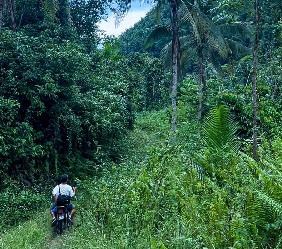 The bumpy ride along the trails in search for the home of Argao's giant. The search for this cave started at the town market where we met a habal-habal driver who was familiar with the place. We had to endure a 40-minute ride through cemented, rough road, and dirt trails to the jump-off point. We then had to do a 15-minute hike through a trail covered by foliage. This is where we found out that this attraction was closed to the public after a hiker died after falling off a steep cliff along the trail. Yes, you need to be extra cautious during the hike and our guides were nice enough to keep us safe along the trail. 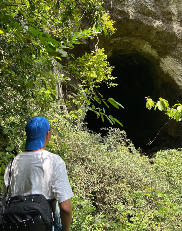 From a safe distance, we called out for the giant from his home. We were able to get close enough to the huge opening of the cave. The huge opening could fit a giant and that was probably why we had that folklore going around. We were not allowed to venture any further for our safety. Our guides even joked that the giant were no longer welcoming with guests as it had placed snakes at the entrance. Sadly, I hope the LGU would reconsider opening this attraction to give Argao two different stories to enjoy and explore. Bugasok Falls A few minutes away from Balay sa Agta is another attraction - Bugasok Falls. Running along the Argao River, this falls is void of the majestic high water drops or the lush foliage that gives it a dramatic vibe. But its rustic vibe and peaceful surroundings, make it a perfect place to just relax and unwind. 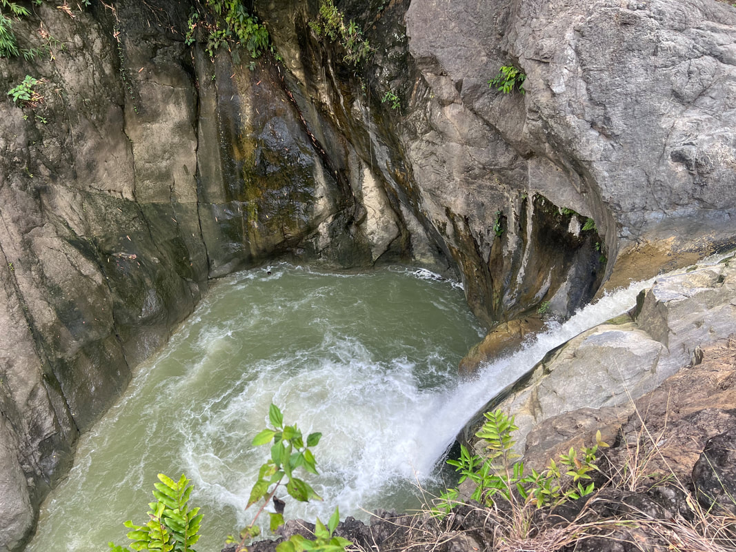 A view from the top of Bugasok Falls. We viewed the waterfalls from the top and it gave us a good view of its small cascade. Our guide said that the base of the pool is deep and that they use to jump into it when they were younger. I got to enjoy dipping mg feet into the cold waters upstream. Bugasok Falls may not look majestic or instagrammable but the rustic ambiance is enough to make one enjoy getting close to nature. Tubod Spring Community Pool One thing that really caught my attention when reading about Argao was it has a lot of spring pools. Our guide even shared with us that one of Argao’s attractions was a mountain resort known for its spring pools. I am not a huge fan of “commercial” resorts that I opted to visit a lesser known spring pool that surprised, not us, but the locals.  The Tubod Springwater Pool is more of a community pool, more than a tourism attraction. But we can't help enjoying its cold and clear waters while engaging with the locals. Imagine the shock and amusement of local Argwanons when two “Tagalog” explorers show up in their community pool thinking that it was a tourist attraction. They were doing their usual household chores like taking a bath and doing their laundry when we show up to take pictures and swim into the pool. The look of amusement on their faces as we enjoyed the cold fresh water is one for the books. In no time, locals were slowly streaming in to check on the “tourists”. 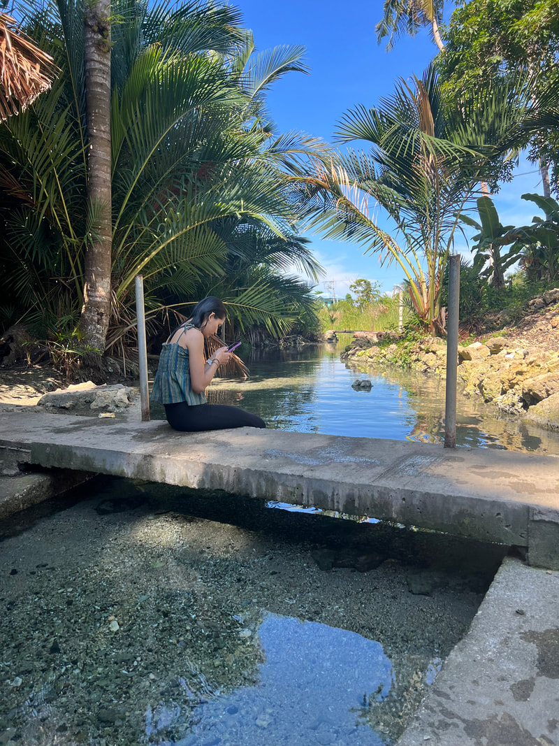 Locals get to enjoy these simple things in Argao for free while city guys and gals don't get the fun that go with this "luxury".
The Tubod Community Pool is a small pool that is about a size of a badminton court. The sides were cemented for easier access and convenience for locals who use the pool for their everyday chores like bathing and doing their laundry. The headwaters spring from an underwater source and flows through to the sea. It is not an attraction but functions more as a community water source for everyday use. Something that city guy and gals don’t see and experience regularly. Interestingly, there are a lot of these pools in Argao and in the province. These pools serve as community nerve centers where you get to do daily tasks while sharing the latest news and gossips in the community. While the bigger pools have been opened to tourism, the smaller ones are more for communal use of the communities. These community pools, like Tubod, shows us what we are missing in the city and making us realize that the best things in life are indeed free. POST TRAVEL NOTES Argao is one of the largest and oldest municipalities in the province of Cebu. Its existence pre-dates the Spanish occupation so it is not surprising that it has a collection of stories to share, from local tales to historical annotations. It is one of those places that are often passed through but seldom given that highlight as a tourist destination. However, given the chance to be captivated by its beauty, one would agree that it is one destination that is “agaw eksena”!  Onward to more Cebu adventures in 2024!!! There were two things that I have picked up during my visit in Argao. The first is the possibility for an LGU to work hand in hand with the community in creating local tourism opportunities within its jurisdiction. We can keep the stories, whether historical or folklore, alive that were created in the past for the present and future generations. The second lesson is that the community proves to be a focal point in making these initiatives come into fruition. If the LGU and the community come together, they can create tourism projects that will resound to both local and international tourists. I hope Argao takes on that challenge. #MahalinNatinAngPilipinas #SamaSamangBabangonMuli ***This Cebu City blog series is a personal project that will have me getting around and re-discovering the Queen City of the South. Walking while exploring Cebu City is a great way to sweat it out just before the holiday celebrations. Talking about sweating it out… Anytime Fitness is set to open its next club right at the heart of Cebu City - Anytime Fitness Robinsons Fuente. Check out their social media pages for more information and to get the best membership offers: Getting there: Major local and international airlines have direct flights to Cebu. You can take a cab to the South Bus Terminal where you can take a Ceres bus to Bato via Oslob. Tell the bus ticket teller that you will be going down the Poblacion area of Argao. You can walk or take a trike to the heritage area of Argao. If you are planning to take a trip to the cave and falls, you can hire a habal-habal stationed in the Argao Public Market.
The establishment of a colony in Cebu marked that start of the colonization of the Philippines under Spanish rule. Cebu City was the first to be colonized. In no time, business and commerce got stronger in the first established Spanish-period city. The buzz created a bustling business community in Cebu - the Parian.  Reading through Cebu's glorious past. The Parian District of Cebu was once the business center of the city. Its streets were often busy with day-to-day trading. The grand homes of the affluent families once stood side by side showcasing the lavish lifestyles of the rich. Although business activities have slowly expanded in different areas of Metro Cebu, the district has maintained its business temperature, similar to that of Manila’s Quiapo and Sta. Cruz, and a historical core that gives you a glimpse of the district’s glorious past. Cebu Cathedral The Parian District once had three churches sitting at close distance - The Minore Basilica of the Holy Child of Cebu, the Cebu Cathedral, and the Parian Church. Only the first two churches remain standing today while the third church was demolished to avoid further conflict within the parian community. 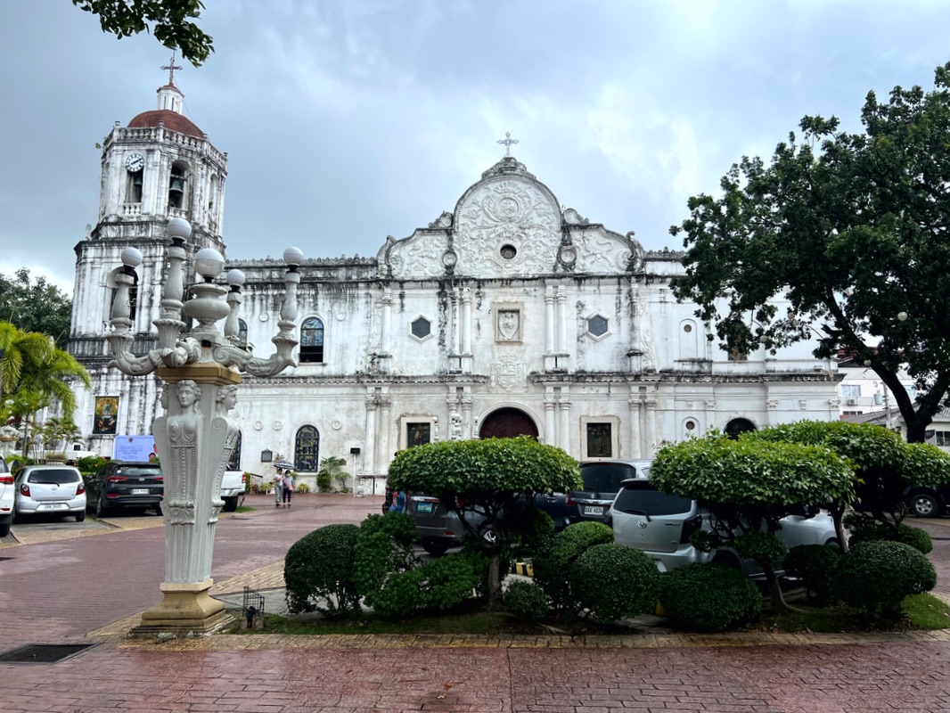 The Cebu Cathedral is one of the 3 original churches of the Queen City.
Established in 1595, the Cebu Metropolitan Cathedral is also known as the Parish of St. Vitalis and of the Immaculate Conception. It is the seat of the Archdiocese of Cebu and is the center of the Catholic faith in the region. The church stands in all its grandeur just a block away from the Minore Basilica of the Holy Child of Cebu. Its white-washed facade stands prominently along the Parian district giving us a full look of the Cebuano’s faith through the years. 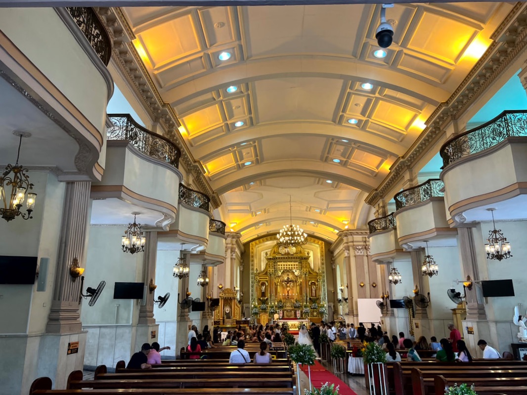 The beautiful and grand interior of the cathedral will amaze visitors. The interior of the church gives it a sanctuary vibe. The high ceiling and the solid wall creates a sense of security inside the church. One will also be amazed by the grand beauty of its altar that radiates in gold. The church is a silent witness to the birth of Christianity in the Philippines making it one structure that is significant in both religion and history. Archdiocesan Museum of Cebu Just right beside the Cebu Cathedral is a heritage structure that serves as the repository of religious artifacts of the archdiocese. It is an ecclesiastical museum that features the architecture and artifacts of the region. It gives its guests a glimpse of the rich past of the region when it comes to the growth of the Catholic faith in the Visayas.  The Archdiocesan Museum of Cebu is a repository of history and artifacts of the Catholic faith in the region. The museum is housed in the former rectory of the church that was built in the mid-1800s. It is one of the few Spanish-period structures that was spared from the devastation World War 2. The structure was built under the bahay-na-bato architecture with a huge courtyard. Officially opened in 2006, it aims to be an instrument to spread and strengthen the faith in the region. The first floor houses a chapel, a patio, and the courtyard. The chapel features religious artifacts collection from some of the old churches in the region. Its main draw is the chapel that features the relics of saints on display where you can also offer your prayers. The patio, with a small fountain at the center, opens to the courtyard of the museum. The old surviving bells of the cathedral are also on display at the courtyard of the museum.
The second floor of the museum features exhibits artifacts on the humble beginnings of Christianity in Cebu. It also gives a detailed description and analysis of architectures of churches and cemeteries that highlight the influences of these designs, from cemetery chapels to church courtyards. Personal effects of former church leaders are also on display giving you a glimpse of how they lived humbly during their terms. The exhibit gives you a brief on the lives of religious leaders as they lived in their times.
The Archdiocesan Museum of Cebu is a great way to look into the roots of Christianity in the country. It gives you a better understanding of the Catholic faith that should strengthen your faith to the Lord. In the end, the objective of the museum is to strengthen one’s faith through its exhibits. It is meant to make its guest realize how one’s faith can and will surpass time. Colon Street A five-minute walk from the Cebu Cathedral brings you to the oldest street in the Philippines - Colon Street. The “Dalan Colon” traces its beginnings when the Spanish Conquistador, Miguel Lopez de Legazpi, established a colony in the 16th century. Colon was built in 1565 and was named after Christopher Columbus. The 1.17-kilometer street connects the Parian District to the Spanish colony complex during its early years. 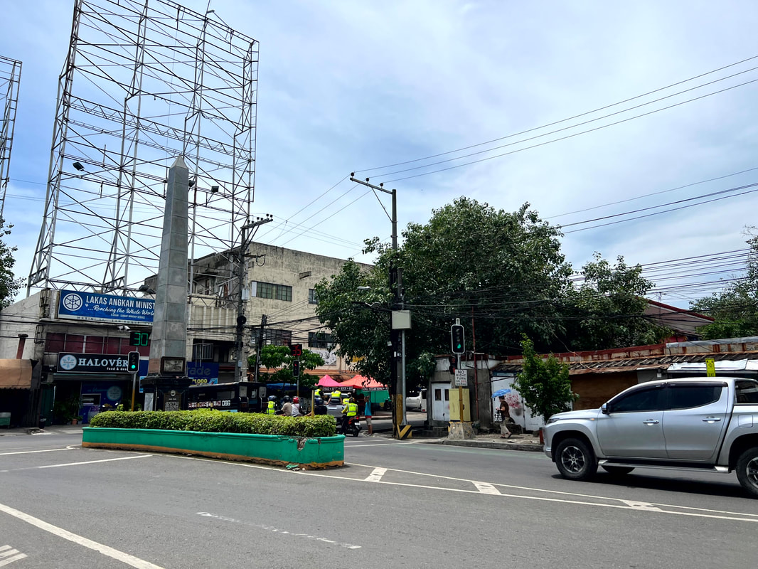 Colon Street is recorded to be the oldest city in Cebu and in the Philippines.
This historical street was later developed as a business and commerce district of the old Cebu. As the city developed and expanded, it has been run down and is now referred to as downtown. We could say that, at present, its is similar to the Quiapo and Binondo area of Manila where old businesses still thrive. An Obelisk now stands on the end of the street where a historical marker and a old photograph of the street was installed to indicate its historical significance in the development of the city and the country. Heritage of Cebu Monument Located at the heart of the Parian District, the Heritage of Cebu Monument stands as a majestic representation of Cebu’s historical significance. It is a tableau of the significant points of history that older the city and the country - from the Battle of Mactan to the Cebuano’s faith to the Santo Nino to the inauguration of the first Cebuano President, Sergio Osmena, to the canonization of Pedro Calungsod. The monument is the Cebuano’s story in one huge artwork. 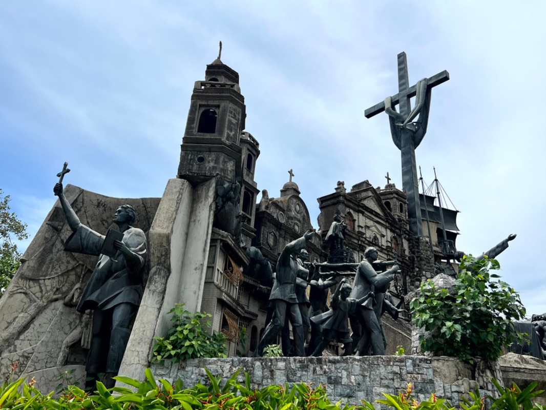 The Heritage of Cebu Monument is a tableau of significant events in Cebu's history. The monument historically stands close to the site where the third Parian Church, St. John the Baptist Church, once stood. The monument was made from concrete, bronze, brass, and steel. It was a collaborative work by sculptor Eduardo Castillo, Architect Heradio Espanol, and Architect Ildefonso Santos. The Heritage of Cebu is the centerpiece of the Parian Park and serves as a welcome icon to the city’s Parian District. 1730 Jesuit House I have visited and explored the city of Cebu numerous times BUT the 1730 Jesuit House was my BIGGEST discovery in this trip. Who would have thought that hidden behind an unassuming warehouse is the oldest Jesuit House in the country. I accidentally stumbled on this gem after seeing it on google map while in the area and, after checking it out, got me VERY interested. The old soul in me had giddy to explore the house. 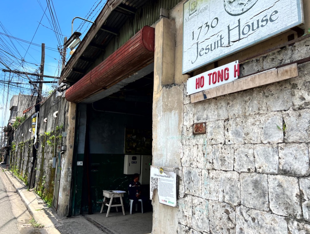 The 1730 Jesuit House is the oldest Jesuit house in the Philippines.
As shared by the guide, the house was part of the property that was bought in the 1960s to serve as a warehouse and office of the Sy-owned business. There were indications that the house was old, including an engraved medallion bearing the year 1730, however it was only in the 70s where the family found out its religious and historical significance. This marked the beginning of the restoration process of the oldest known Jesuit House in the country. It has now become a repository of historical artifacts and personal effects of the family passed on from generation to generation. There are two buildings in the compound. As you enter Building A, you will be walked through a brief history of the house where you will be given a brief on the house’s significance and discovery. Historical artifacts, excavated during its restoration, are also on display, indicating how the structure aged very well. There have been some renovations done in the house but a large part of the house, foundations and flooring, remain in its original state.
The upper floors have become a repository of personal effects of the Sy family giving you a glimpse of their life in different periods. These personal effects include furnitures, old photographs, and fixtures that were in use during their time. What is interesting is how these stories are weaved into the house’s history. You literally walk through different time periods inside the house. Of course, there are also paranormal stories that were shared that usually forms part of the colorful history of heritage structures. Building B is believed to be the old house’s balcony which has been converted into an office and residential area. The old house was also believed to have a watch tower when it was under the Jesuits.
It was great to see that the Sy owners were quick to keep the house intact even when they could have torn it down for business. They kept it close to its original design thus keeping its heritage and cultural value. The 1730 Jesuit House, despite hidden from plain site, gives us centuries of stories that helps us understand how our history was molded - from the Spanish period to the present. Yap-Sandiego Ancestral House Another popular ancestral house to visit in Cebu is the Yap-Sandiego House just a block away from the 1730 Jesuit House. It is one of the oldest houses in the Parian district and is believed to have been built in the 1700s by Chinese merchant, Don Juan Yap. The bahay-na-bato house was built from coral stones and wood giving you a glimpse of the parian architecture during that period. It is often referred to as the “Balay nga Bato ug Kahoy” by locals. 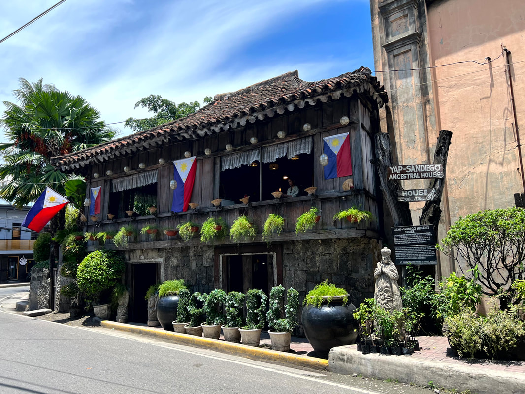 The Yap-Sandiego Ancestral House is one of the oldest houses in the Parian District. The ancestral house has been converted into a museum by the present Yap generation. It has served as the repository of family heirlooms and guests can view these period pieces that gives you a glimpse of the lifestyle of the Yap family spanning 8 generations. From antique furnitures to glasswares to religious images, the collections will overwhelm you with its beauty and history. The house also features traditional dance presentations on special days at the garden area.
The wide collection of artifacts and heirlooms of the Yap-Sandiego House can be overwhelming since it is tightly displayed in a limited space. It is also still in use by the present owners and is also the venue of an annual dance celebration. It is one of the oldest houses in the Parian District and worth visiting to give you a feel of how the old Cebu looks and feels like. Casa Gorordo Built in the 1850s, Casa Gorordo Museum was once the home of the Gorordo clan who were originally from Spain. The house has been the home of the Gorordo’s since 1863 and has also once been the home of the first Filipino Bishop of Cebu, Father Juan Gorordo. The house has survived two revolutions and World War 2. The house have undergone some changes brought by the changes in time and beliefs and yet it has managed to keep its identity as an example of Cebuano architecture.  Casa Gorordo is a heritage structure turned museum under the care of a private organization. The house was designed under the bahay-na-bato architecture with a huge lawn and azotea. The design and its size are a strong indication of the power and wealth of the Gorordo’s of Cebu. The heritage structure was turned into a museum that features the colorful cultures and practices of the parian district and the lifestyle of the families like Gorordo’s during that period. The first floor walked us through the Parian district’s life during its heydays. From its humble beginnings to the way of living to the religious practices, each section gives you an overview of how it was to live during that period.
The second floor gives us a preview of the lifestyle of the Gorordo family. Each room was curated to show visitors how each room was utilized. From the receiving areas to the prayer room to the dining area, it showcased the beliefs and practices during that time. How each item at home is weaved into the story of the house. I was amazed at finding out that the banga that lined the windows at the azotea served as a coolant to the wind that blew over from the sea.
The Casa Gorordo is the most updated museum among the galleries that I have visited in Cebu. You can opt to choose to have a guided tour or a tablet-guided tour. It gives you a complete experience that immerses you in the story visually and auditory. I recommend that you take the time to really understand the narration to get a better understanding of the Parian District of Cebu. POST TRAVEL NOTES: The Parian District of Cebu outlines the role of the Chinese and Meztizo in the development of Cebu to what it is today. It was once center of business and commerce and has been the home of prominent and rich families of Sugbo. It is amazing how the remaining structures give us a glimpse of how life was for these families during that period. The mirage of cultures and traditions that we try to recreate at present is just a nip on how grand life was back then.  The question that I always ask myself... where are we headed next? There will always be one destination that we will never get tired of visiting again and again. We don’t get tired exploring the old and, in the process, discovering something new that will make you fall in love more with the place. Cebu has this appeal that strikes me. I guess the old soul in me gravitates towards this city because of its old town charm and its natural beauty while I get to still enjoy living in a fast-paced environment. #MahalinNatinAngPilipinas #SamaSamangBabangonMuli ***This Cebu City blog series is a personal project that will have me getting around and re-discovering the Queen City of the South. Walking while exploring Cebu City is a great way to sweat it out just before the holiday celebrations. Talking about sweating it out… Anytime Fitness is set to open its next club right at the heart of Cebu City - Anytime Fitness Robinsons Fuente. Pre-sales is set to start on September 15, 2023! Check out their social media pages for more information and to get the best pre-sales membership offers: Facebook: AF Robinsons Fuente Instagram: AF Robinsons Fuente #ChangeGetsYouMoving #GetFit4Life #BleedPurple Getting there: Major local and international airlines have direct flights to Cebu.
When Cebu City is mentioned in a conversation, the first things that come to my mind are the Santo Nino, Magellan’s Cross, the Cebu-Cordova bridge, Fort San Pedro, the Sinulog, and its amazing cityscape. I love the city because it fuses the rustic rural vibe and city rush perfectly. It is like I am in the city but not in the city kind-of-feel.  The mountains of the city holds some interesting off-beat spots. Most of its visitors enjoy being part of its cityscape but little is known on the mountains that serves as its backdrop. From the usual attractions of Tops, Temple of Leah, and Taoist Temple, the mountains of the city remain untouched by most tourists. It is safe to say that a large part of its mountains have become the locals sweet and quick escape from hustle of the city, without the usual tourist fanfare. Let’s explore the mountains of Sugbo in a day. Celestial Garden / Starbuks Let’s start the day early with a quick hike along a trail that has become popular among locals - the Celestial Garden Trails. The trail starts at Paseo Arcenas where hikers walk along the paved main road passing through the villages and subdivisions. The trail would eventually lead into a dirt trail that snakes through the mountain side where the controversial Monterrazas de Cebu will soon be located. The view of the city landscape gets better as you get higher. I recommend that you start very early so you can catch a great view of the sunrise with the urban landscape of the city in the foreground.  Catching the beautiful sunrise along the mountain trails of Cebu.
The Celestial Garden is located along this trail. This memorial garden stands out for the statues and “amphitheater” that were installed in the vast open area along the hills giving it a cool and unique vibe. It does not send off an eerie vibe that is usually associated with cemeteries. It actually seems more of a park with an amazing view of Cebu City. The sprawling open space and the amazing views of the city makes it a perfect spot to relax and catch your breath before continuing your hike.  A view of the city's skyline from the Celestial Garden. The views of the urban landscape become more commandingly beautiful as you get higher through the trail. The trail becomes narrower and steeper but the 180-degree view of the city of Cebu and the fresh air blowing from the sea is enough reward for the hike. At the top of the trail is a series of small coffee shops that imitate branded coffee shops - Starbucks and Kofi Ben.
This early morning hike was a great way to start a day of exploring the mountains in Cebu. It was a good way to exercise that gave a rewarding view of the city that you can only see from this side of the Queen City. This was a side that only locals know and it was great to experience it first hand. Sirao Flower Farm Our next destinations would be along the usual tourist trail along the mountains of this city. We hopped on a habal-habal to explore the usual tourist spots. Let's start with the Sirao Flower Farm is one of the popular spots on this side of the city. Tucked along the hillside of Sirao, this barangay is popular for its flower production so it was not a surprise that flower gardens have become one its tourist draws. The Sirao Flower Farm is probably the most famous attraction as it gives you a localized version of Amsterdam.  How you deal with your life is in YOUR hands. The garden is picturesque from any angle. The flower plots are neatly arranged to surround and impress its guests. It gives you that mood uplift while being surrounded by different variety of flowers. It is a visual sensory overload of colors. Structures were built in different spots of the garden to give the garden a more IG-worthy feel. The aesthetics of the garden complements the amazing mountain views that surround the garden.
The beauty of the Sirao Flower Farm has made it to the list as one of the attractions to visit on this side of Cebu. It has managed to create an attraction from nature’s bounty and infuse a shot of creativity. Its appeal transcends across all ages. Temple of Leah Commissioned by Teodorico Adarna, this “temple” was built in honor of his late wife - Leah Albino-Adarna. The “temple” symbolized his undying love and devotion to his wife. It was a declaration of 5 decades of fruitful marriage.  Temple of Leah is one of the major attraction in Busay.
The structure started its construction in 2012. It was designed in Greek architecture and has 24 chambers. The chambers were designed to house an art gallery, a library, and a museum but these chambers remain inaccessible to the public still. You can take a peek from windows on how these rooms look like. A 10-foot statue of “Queen Leah” stand as the centerpiece of the temple’s receiving hall. The queenly image has been an attraction among its guests.  This golden image of Leah Albino-Adarna is the main attraction of the temple. The attraction sits along the hillside of Busay and gives a panoramic view of Cebu City and the Mactan Island. I personally think that the panoramic view of the metro is the biggest pull of this attraction. I enjoyed getting lucky with the view of a plane landing in Mactan with the Metro Cebu in the foreground. Cebu Taoist Temple Located inside a posh village in the city, the Cebu Taoist Temple is an attraction that has become part of its city mountain tours. This attraction is popular for its peaceful and serene vibe within the urban setting of Cebu. Beyond being a place of worship, the temple is more than just an attraction but a symbolic structure of Chinese influence in the Cebu.
The Cebu Taoist Temple proudly displays Chinese architecture as you climb up the stairs to its main temple. The lawns are perfectly manicured that complements the serene mood of the temple. There are smaller chapels where you can light up incense and offer a short prayer. There are wishing pools where you can toss a coin to make a wish. The main temple is a beautiful centerpiece of the Cebu Taoist Temple. Please respect that taking pictures of the interiors of the temple and chapels are not allowed.
The temple does offer a quick refuge from the hustle and bustle of the city while giving you a mild taste of China. You get to enjoy a panoramic view of Cebu City while enjoying the serenity of the place. I think that the best time to visit it is in the late afternoon to get that different glow of the city with the late afternoon sun. Just be mindful of the noise and those who are there to offer their prayers because, at the end of the day, the place remains to be a temple. A perfect spot to end the day with gratitude for a great time of safely exploring the mountains of Sugbo. POST TRAVEL NOTESThe mountains of Cebu is one of the less travelled destinations in Cebu City. Apart from the usual tourist routes, there are still a lot of off-beat attractions that remain hidden from tourists but enjoyed by the locals. I have heard that there are hiking trails that allow you to traverse through the mountain side of Cebu that gives you access to amazing city views and waterfalls. This is going to be my future travel endeavor - exploring the mountains of Sugbo!  Wait... there's more... Locals are known to offer information on great spots in their community that are not along the popular tourist trail. More often than not, these are enjoyed by locals because it does not have the usual crowd and remains untouched by commercialization. I enjoy these spots because you get to see how locals see it before it hits mainstream tourist. I guess that is a badge that I would like to wear for most of my travels. #MahalinNatinAngPilipinas #SamaSamangBabangonMuli ***This Cebu City blog series is a personal project that will have me getting around and re-discovering the Queen City of the South. Walking while exploring Cebu City is a great way to sweat it out just before the holiday celebrations. Talking about sweating it out… Anytime Fitness is set to open its next club right at the heart of Cebu City - Anytime Fitness Robinsons Fuente. Pre-sales is set to start on September 15, 2023! Check out their social media pages for more information and to get the best pre-sales membership offers: Getting there: Major airlines and ferries have regular trips to Mactan International Airport, Cebu City’s gateway. You can take a cab to Paseo Arenas, the jump off point to the trail to Celestial Garden and Starbuks. For the more popular mountain attractions in Cebu, you can take a habal-habal from Robinsons Fuente or at JY Square Mall for a half-day trip.
The start of the Philippines as a nation started when one voyager unintentionally landed his fleet in the one of the islands in Samar. The series of “island hops” eventually led to the conversion of locals to Christianity which gave birth to one of the grandest Philippine celebrations - the Sinulog. This trip will walk us through how the evolution of the Philippines as a nation from its humble beginnings in Cebu City  Let's re-visit how our country started from the city where the story began. Sugbu or Sugbo was the ancient name of the Queen City of the South. It was a major trading port long before the arrival of Magellan. It is believed that its present name “Cebu” was derived from the old Cebuano word “sibo” which roughly translates to “trade”. But, it was the arrival of Magellan in 1521 that placed the city in the map of colonizers and it took decades before another expedition was able to establish a colony. This colony, established in 1565 by Miguel Lopez de Legaspi, would be called “Villa de San Miguel de Cebu”. Raja Humabon Monument Let’s start our history walk by honoring Raja Humabon - the first Filipino leader who embraced Christianity. His warm reception of Magellan’s fleet led to his baptism, together with his wife and 800 locals. This marked the start of colonization of the Philippines through religion. He was given the Christian name Carlos while his wife was named Juana. As a symbol of their conversion, an image of the Child Jesus was presented to them as a gift and this marked the start of the Sinulog story of the Cebuanos. 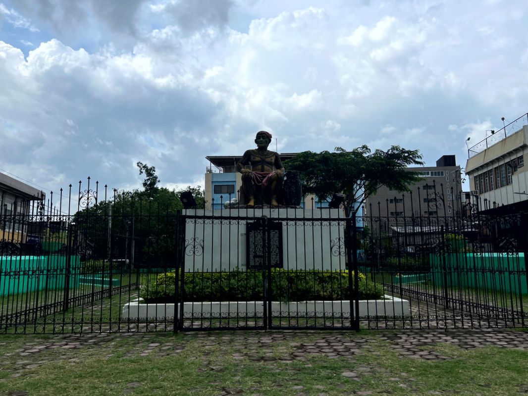 Raja Humabon was the chieftain that welcomed Magellan along the shores of Cebu. A small park tucked between the road fork of P. Burgos Street in Cebu’s downtown honors this Cebuano leader. A monument depicting the strong leader and a NHI historical marker is its main draw. A smaller pylon monument honoring the leader stands at one end of the park. As mentioned, two of Cebu’s icons served as the pact of friendship between Humabon and Magellan - the Sto. Nino de Cebu and the Magellan’s Cross. Minor Basilica of the Holy Child of Cebu At the heart of the Cebuano’s Catholic faith is the Holy Child of Cebu. The whole province dances in celebration every 3rd Sunday to celebrate their faith to the Senor Santo Nino. The image was a gift to the wife of Raja Humabon, baptized as Juana, as a symbol of their conversion to Christianity. It has become an iconic symbol of the city. 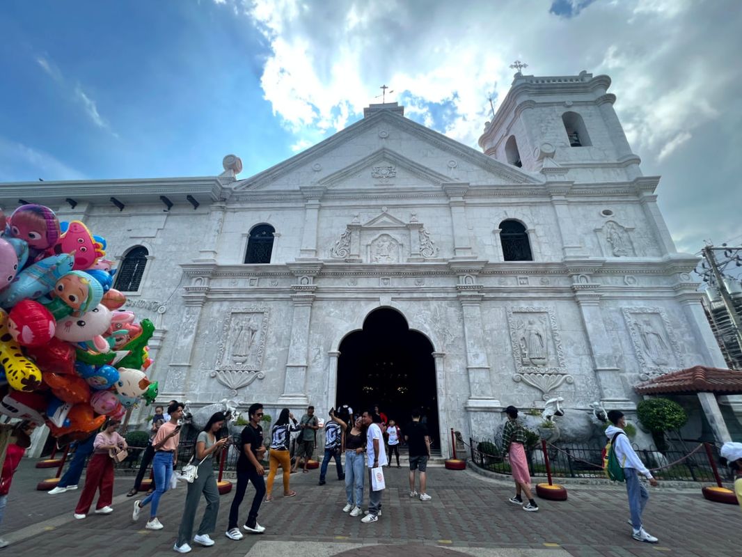 The Minor Basilica of the Holy Child of Cebu was built on the site where the revered image of Santo Nino was found when Legazpi landed in Cebu. The Senor Santo Nino is housed in the Minor Basilica of the Holy Child of Cebu. It is located two blocks away from the Raja Humabon Monument (not the church adjacent to it) and is one of the three original churches in the downtown or parian area. The present stone church was completed in 1740 and was built on the spot where the image of the Sto. Nino was found after colonizers, headed by Legazpi, burned down the village. The church is nearly 500 years old and it is the center of the celebration every 3rd Sunday of January. The church and convent stand majestically with its simple facade made from coral stones. An image of the Santo Nino was carved atop its arched doors. Its belfry stands adjacent to the church. An iron-cast bell with the inscription “Santo Nino del Zebu” is on display at the base of the belfry. 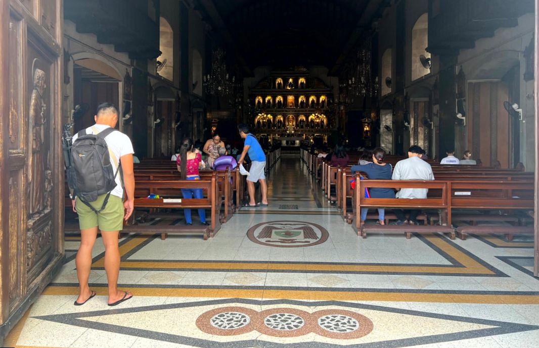 The church is the center of festivities during the Sinulog celebration every 3rd Sunday of January. The basilica’s gold altar is one of the grandest that I have ever seen. The four-tier retablo looked magnificent with the saints lined up on the upper tiers. The image of the Santo Nino and the Crucified Christ stands as its centerpiece. A smaller altar adjacent to the main altar bears the original image of the Senor Santo Nino. Pilgrims and visitors can get an upclose look at the image. Most pilgrims pray their petitions to the image. Interestingly, devotees of the Santo Nino wave at the image, like a child waving, as a form of respect to the revered image. 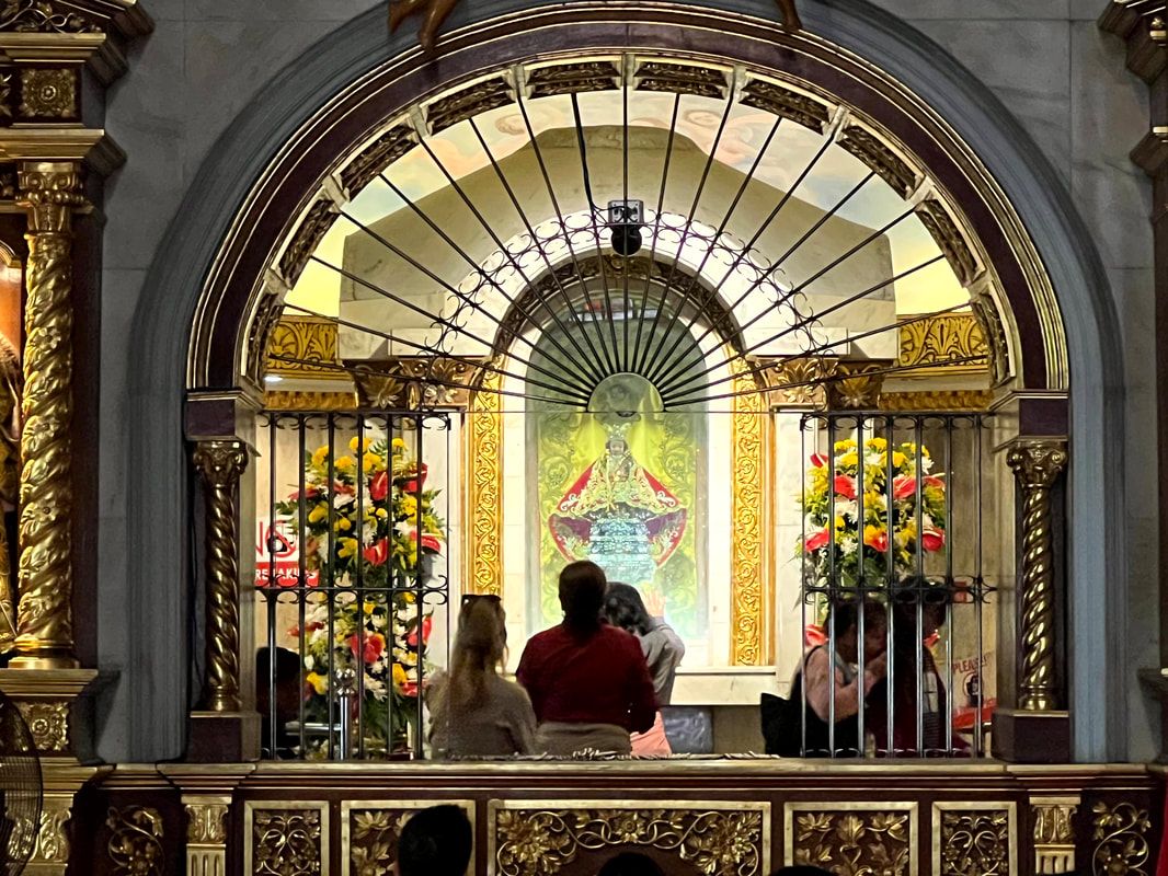 The Santo Nino de Cebu was a gift to the newly baptized wife of Raja Humabon, Juana, has become an icon of Cebu. The church complex houses the convent, a pilgrimage center, a museum, and a library. It is one of the most visited church in the province for its history and for its faith expression. The Senor Santo Nino is symbolic in both history and religion as it signaled the start of the country’s nation building and the spread of the Christian faith in the Philippines. Magellan’s Cross Just a stone-throw away from the Minor Basilica is another symbol of faith and colonization - Magellan’s Cross. The story of Magellan’s voyage more than 500 years ago is a common story in our history classes. The wooden cross was planted by Magellan along the shores of Cebu during the mass where Raja Humabon was converted to Christianity. The cross is a symbol of Christianity’s beginnings in the Philippines. 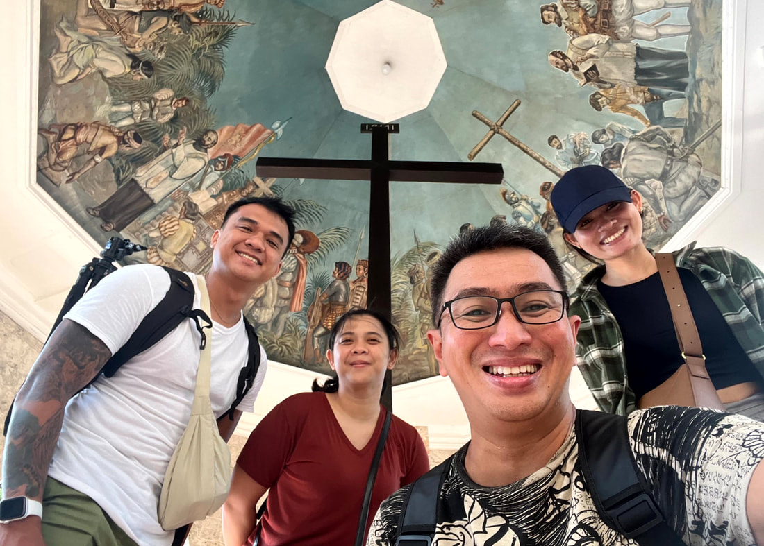 Our team doing the usual honor of visiting the icons of Christianity in the Philippines - the Magellan's Cross. Magellan’s Cross is housed in a small chapel just a few steps from one of the gates of the Minor Basilica of the Holy Child of Cebu. The location is the exact area where Magellan planted the wooden cross. The Tindalo wooden cross that we see today encloses the original cross. The paintings on the ceilings of the small chapel outlines the story of what happened during that fateful day. Devotees and tourists flock to this tourist attraction that has become one of the icons of this city. Fort San Pedro and Plaza Independencia The arrival of Magellan was the first recorded contact of “Filipinos” with colonizers from the west. However, it was 4 decades after Magellan’s death that the Spanish colonizers was able to establish a colony in the Philippines. It was Miguel Lopez de Legazpi established the colony and was called Villa de San Miguel de Cebu. This marked the start of the development of the oldest city in the Philippines - Cebu City.
Unlike Magellan’s voyage, Legazpi and his crew were met with hostilities among the locals. This was the reason behind the construction of one of the oldest forts in the country, Fort San Pedro. This small triangular fort was intended to protect the colonizers from night-time attacks coming from the sea. This is the reason why two sides of the fort face the sea while one side faces land. We don’t get to see that beach side of the fort nowadays because of the reclamations done in the area. The fort is the smallest Spanish fortress in the country. It was built using stone mortars and has 3 bastions - La Concepcion, Ignacio de Loyola, and San Miguel. The entrance to the fort stands on the side that faces the city. The fortress was the nucleus of the first Spanish colony in the Philippines.
Fort San Pedro and Plaza Independencia is now a sprawling park in the city. The fort has its own museum and a courtyard that can be used for events. Plaza Independencia is a Spanish-period public space that has been developed and also recognized for its historical value. The plaza also has a monument honoring the Spanish Navigator and the first Governor-General of the Philippines - Miguel Lopez de Legazpi. National Museum - Cebu The recently inaugurated National Museum Cebu Component makes its home in the historic structure of the Old Custom House of the Cebu Port Authority. It was under the leadership of Former President Rodrigo Duterte that the heritage structure, designed by William Parsons and constructed in 1910, got the support for its re-use to showcase Visayan history and culture. 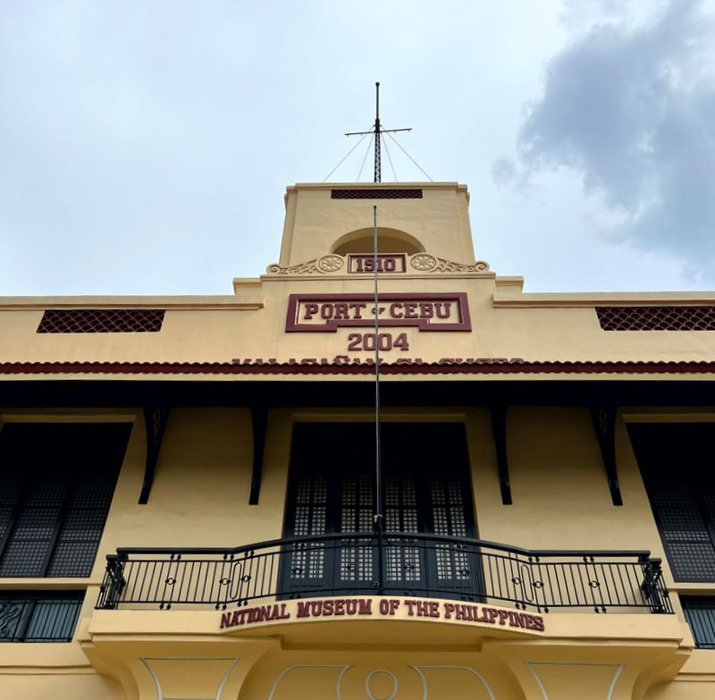 The historical structure of the Old Custom House of Cebu was re-used as a Component Museum of the National Museum.
The first floor of the National Museum has three galleries. The first gallery showcases the natural resources and wonders of Cebu and the Visayas. The second gallery walks you through the early days of Cebu City, giving you a preview of its rich pre-colonial past. The third gallery features the existing culture and way of life in the region. The three galleries give you a deeper understanding of the rich history and heritage of Cebu and the Visayas.
The second floor is a gallery of creativity. You get to marvel at contemporary art pieces, from 2D to 3D, by local artists in the region. The gallery opens with a huge painting of the “Battle of Mactan”. On exhibit are art works that would test your own brand of creativity.
The component museum is a good start to know about the history, culture, and creativity of Cebuanos and the Visayans. The move to create this learning institution in the city, where our story as a nation began, was a good one as it brings both locals and tourists into the heart of the action. It makes us understand the stories behind the sights and sounds of the city’s attraction. POST TRAVEL NOTES Cebu is my happy place. It has a unique and homey vibe that fuses urban and provincial life in a perfect blend. It is a city that I would never get tired visiting over and over again. With the opportunity to revisit the city’s rich culture and history again, it gives me more time to discover something new and appreciate the uniqueness of the city that has long charmed its way to my heart. This is just the start. 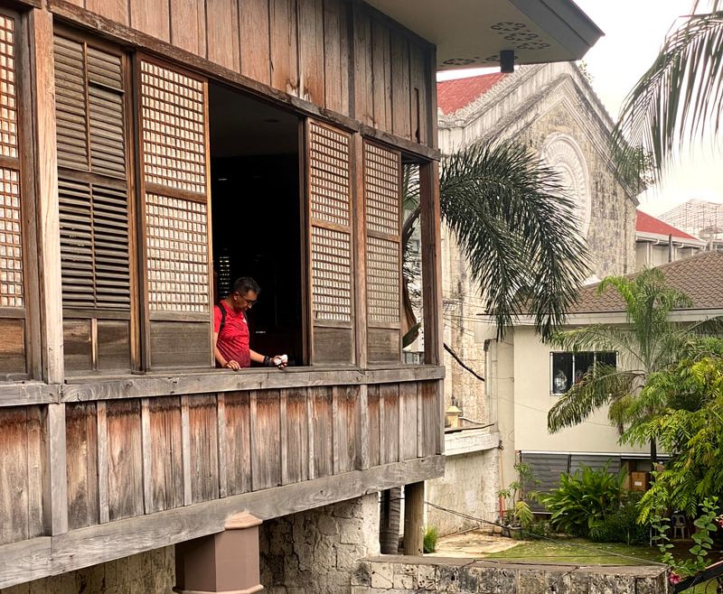 On our next visit, let's explore how life was in Cebu during the Spanish-period. History is a good way to start understanding our present. Understanding how it started gives us a clearer picture of the whys. In the same way, we need to go back and see how we started as a nation. How it all began. Knowing the past can give us a deeper learning on how we can be better Filipinos. Next up… Cebu City’s Parian District. #MahalinNatinAngPilipinas #SamaSamangBabangonMuli ***This Cebu City blog series is a personal project that will have me getting around and re-discovering the Queen City of the South. Walking while exploring Cebu City is a great way to sweat it out just before the holiday celebrations. Talking about sweating it out… Anytime Fitness is set to open its next club right at the heart of Cebu City - Anytime Fitness Robinsons Fuente. Pre-sales is set to start on September 15, 2023! Check out their social media pages for more information and to get the best pre-sales membership offers: Getting there: Major local and international airlines have direct flights to Cebu.
When you have got a free day in Cebu, where do you go? You can choose to go around the city or choose to explore the nearby destinations to enjoy the sights and sounds of the province. In my case, I decided to head south to explore a town that has become a tourism icon for its animal interaction. Only this time, I am exploring the town for a quick shower, walk through its history, and a quick saltwater swim. This is Oslob! 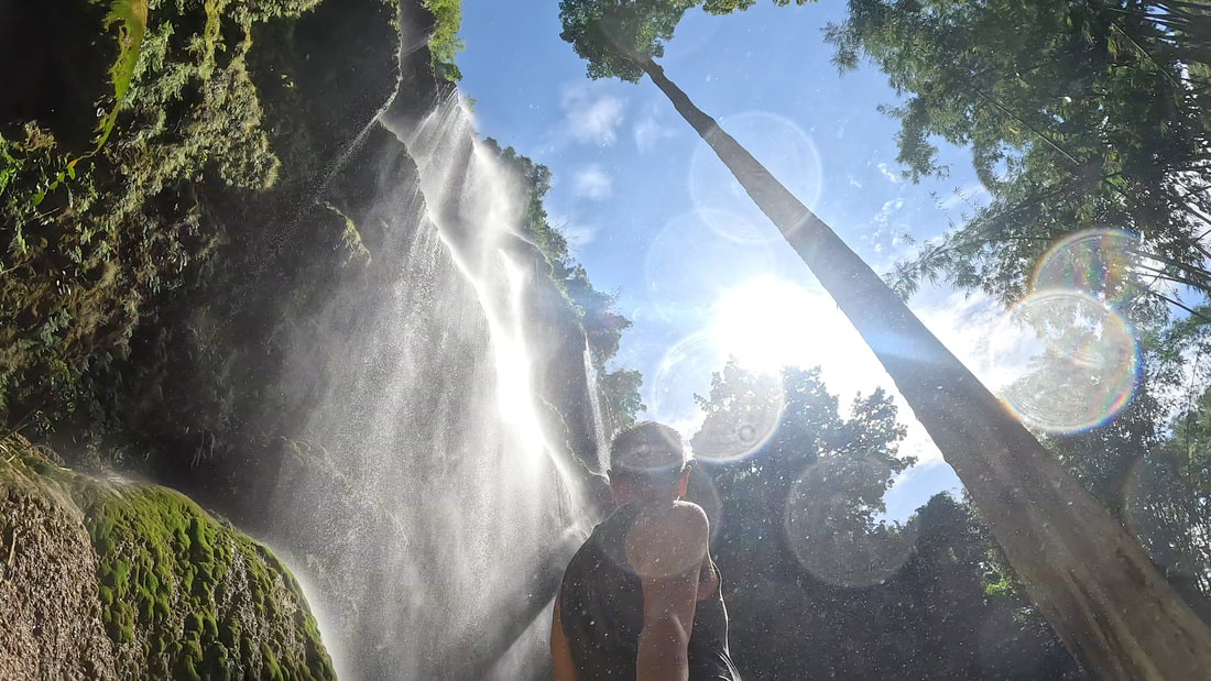 The sun's up and we are ready to explore! Just a 4-hour bus ride away from the Queen City of the South, Oslob is a small coastal municipality facing the Bohol Sea. This destination is known as the home of one of the most beautiful waterfalls in the country and for its collection of historical structures. However, it was the controversial “taming” of the whale sharks that eventually paved the way for this small town to become a tourism icon of Cebu. This blog will not feature “tamed” sea creatures but it is about going back to what Oslob has long been known for. Tumalog Falls Tucked along the mountains of Oslob is one of the most beautiful waterfalls that I have ever visited and seen - Tumalog Falls. Getting there is quite easy as you can hire a “habal-habal” to get to the jump-off point from the main highway. At the jump-off point, you can go for a 15-minute downhill leisure walk or ride another “habal-habal” to get to the entrance of the park. We chose to go for the faster and more thrilling ride downhill. 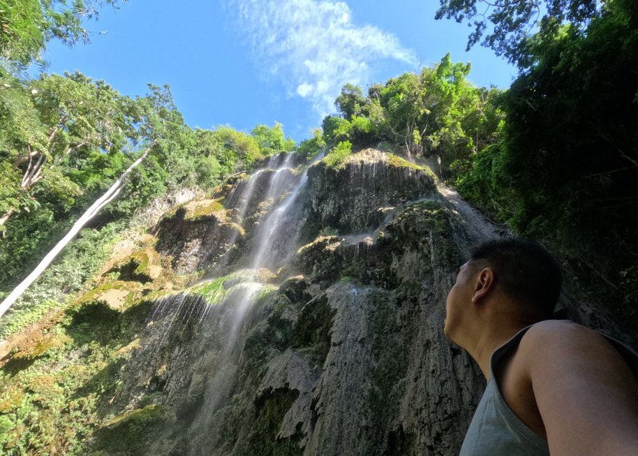 I was totally captivated by the beauty of Tumalog Falls. The nature park has basic facilities like a restroom and picnic huts for its guests. A Php50 entrance fee is charged by the LGU at the gate. Dirt trails lead up to the base of the falls. There are a lot of good vantage points to see the full beauty of Tumalog. Of course, there’s the popular view spot that you have seen on socmed but you need to line up (a really long one) and give a tip for that human drone shot. In my case, I chose to own my view point rather than go for the usual, giving me more time to enjoy the view and the waters.
Two things that will immediately catch your attention when you come face-to-face with Tumalog Falls are the shower-like cascade and its turquoise waters. What makes Tumalog unique is its shower cascade unlike others that have a strong single cascade. You can literally stand at the base and enjoy a very cold shower as its spring waters cascade along its umbrella-like rock formations. It is like taking a quick shower under a strong rain. It shocks your body with very cold water while giving you a hard and soothing shoulder and back massage. 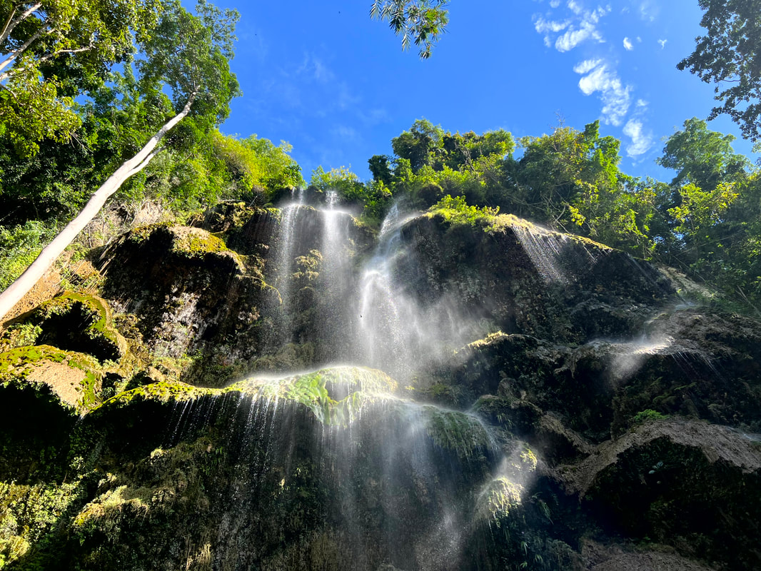 Tumalog Falls is known for its shower-like cascade. I enjoyed a cold "shower" under its cascade.
The waters of Tumalog Falls cascade from a height of about 80 meters into a small and shallow basin. One can swim and enjoy the waist-deep turquoise waters of the falls while enjoying the views of its surrounding forests. Word of caution, though, because of Oslob’s popularity, this nature destination can draw a crowd on a weekend so make sure that you bring a lot of patience when visiting Tumalog Falls during the peak days. Habal-Habal Rate: Php150 per head roundtrip from main highway to Tumalog Falls Jump-off to Cangcua-ay Private Beach Resort. Make sure to arrange the time you want to be picked up at the jump-off. Tumalog Jump off Habal-Habal Rate: Php50 per head roundtrip. Tumalog Falls Entrance Fee: Php50 per head. You can rent out a cabana at Php300 if you plan to stay longer than usual. Beach Spot: Cangcua-ay Private Beach With the exception of Sumilon Island’s white sandbar, Oslob’s coastline is composed of a mix of rocky cliffs and sandy beaches. It does not have a a long beach strip where beach bums like me can just relax and enjoy the sun, sand, and sea. The beach strip that they have does not allow swimming as its “tamed” whale sharks are just a few meters away from the shore. In fact, my habal-habal driver cannot recommend any beach spots when I asked him where we can swim and enjoy beach bumming. BUT… the beach person in me wouldn’t go home without getting tanned and salty so, from a suggestion of a traveler friend, we discovered and explored the Cangcua-ay Private Beach in Barangay Tan-awan. 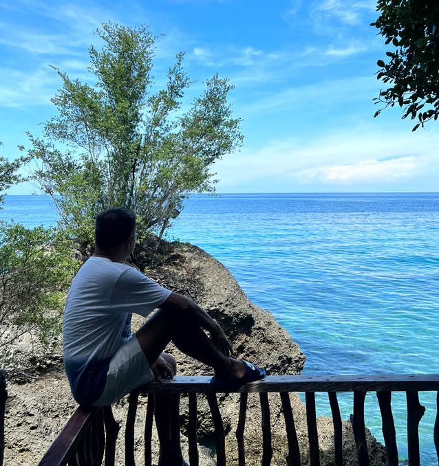 From fresh water to salt water really quick at Cancua-ay Private Beach. Expect to walk down the 254 steps from the entrance to the private beach enclave. You get to enjoy the views of the Bohol Sea, Sumilon Island, and Siquijor as you traverse down the steep steps to the beach. Cancua-ay is a perfect spot to beach chill. We got to enjoy the waters of Oslob without the crowd even if it was a Sunday. It was rocky cove with portions of white sand shores that gave me a much-needed beach break. You can enjoy lazing around on the hammock while immersed in saltwater, go for a quick swim, or challenge your fear of heights by jumping off the platform.
The entrance fee of Php150 allows you a day trip access to the beach where you can us the cabanas without extra charge. You just have to make sure that you have everything with you when you go down as you don’t want to tire yourself up traversing the steps. I must agree Cancau-ay is a perfect spot for beacb day trip to disconnect and recharge your mind and body. Entrance fee: Php150 per head for a day trip Daanglungsod Baluarte Ruins Baranggay Daanglungsod holds a historical treasure that is often overlooked by visitors of Oslob. Reading through the town’s history, the present-day location of the town center was not the first location. In fact, it was at Daanglungsod where the first community was established hence the name of the barangay that roughly translates to “old town/city”. This location stands about a kilometer south of the present-day town center. Just like any old Spanish town, watch towers or “baluartes” were built to protect and warn the town and its people from attacks of Moro pirates. The ruins of a huge baluarte stands as the only mute witness to the original community of Oslob. It hides conspicuously behind trees, vegetations, and modern structures along the highway. If you are not aware of its existence, you would probably miss out on it. I just hope that the LGU would also give ample attention to its preservation for its historical value. Church of the Immaculate Conception Completed in 1847, the Church of the Immaculate Conception, or more popularly known as Oslob Church, is one of the heritage structures around the towns historical core. The church is made coral stones and reinforced by lime cement. A 30-meter bell tower stands adjacent to the church that was built in 1858 under Father Apolinar Alvarez. Natural and man-made disasters have damaged the church but the faith of the locals of Oslob would always rise above to rebuild and restore their beloved church. 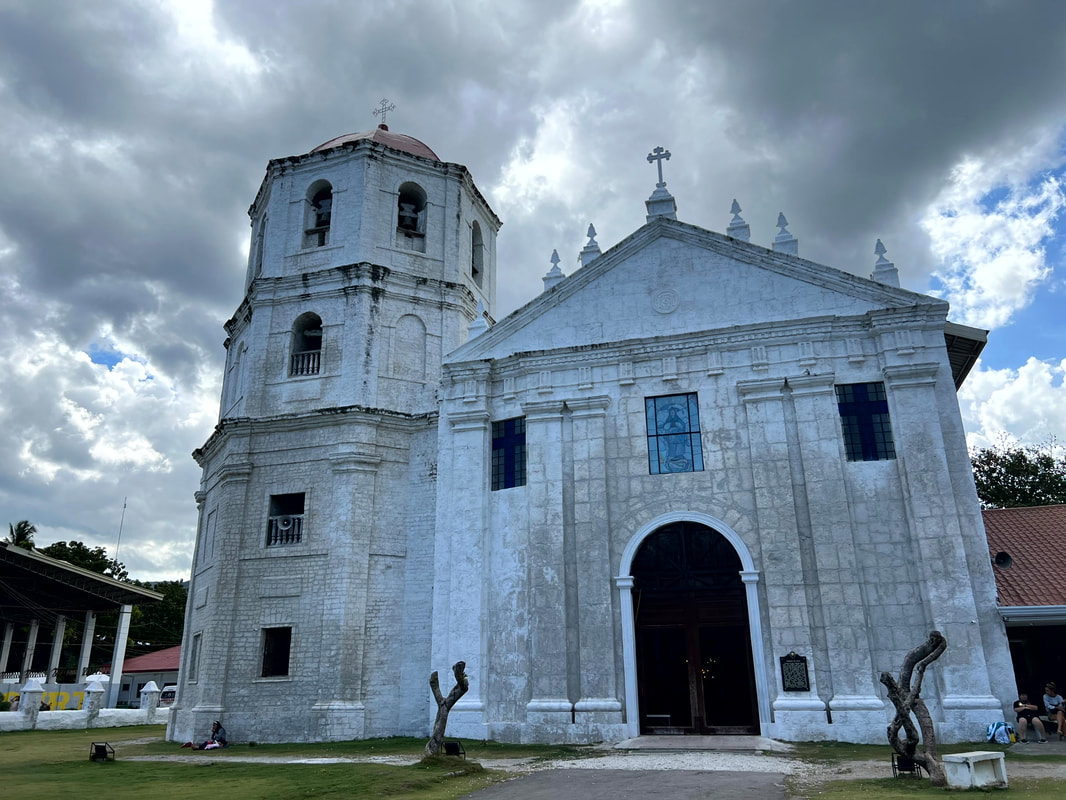 The Oslob Church was completed in 1847. It is an imposing structure in the town center of Oslob.
The Oslob Church is a dominant structure in town. The simple and yet imposing facade exude a vibe of protection over the town of Oslob. The interior of the church exudes the same simplicity with only the image of the Immaculate Conception as the centerpiece of its altar. The church is simple and elegant as if telling us that faith need not be complicated. All it takes is for us to simply believe.
The church complex is home to a number of historical structures. The church wall and gates are being re-constructed to complement the church. The walls served as the church’s protection from pirates. A small coral chapel stands just right across church while an old Spanish well can also be found within the church grounds. Trike fare from Cancua-ay Beach: Php50 per head Calle Aragones Running along the left side of the church is the oldest street in Oslob - Calle Aragones. The street served as the main processional route of the church. A historical marker was mounted by the LGU that recognizes the historical value of the street. 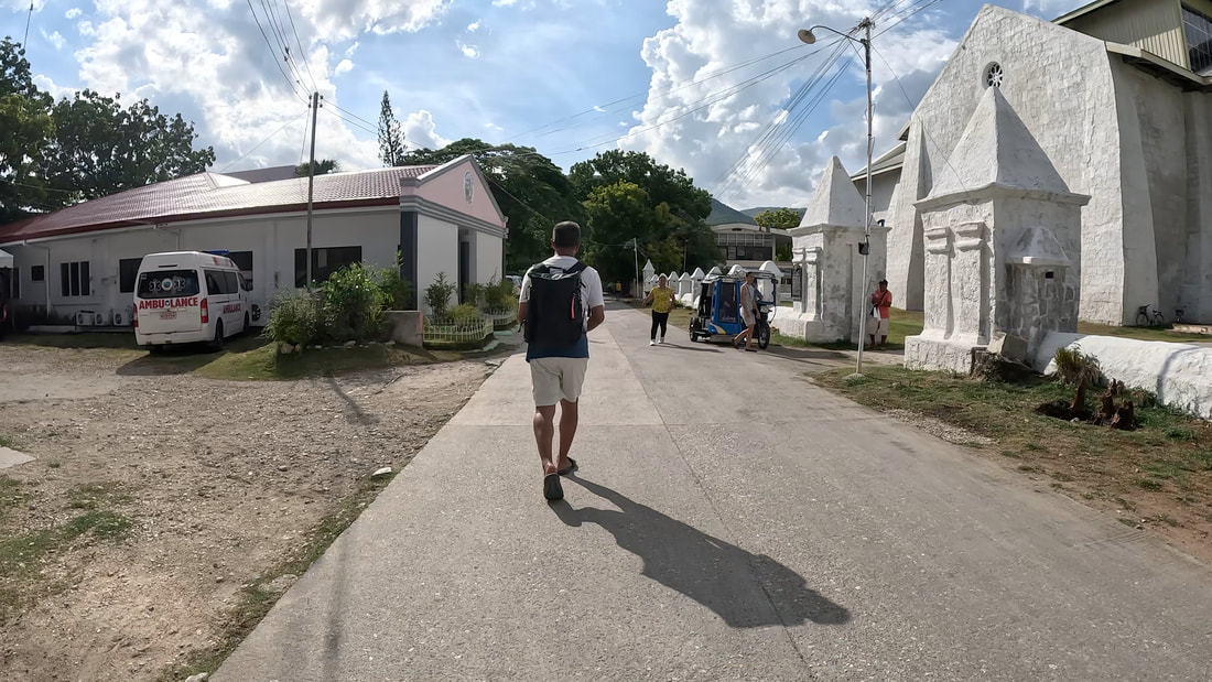 Cale Aragones is the oldest street in the town of Oslob. It still serves as a vital link of the main highway to the adjacent streets and the businesses in the area. This is where you would find the Oslob Municipal Hall and its community center. It still serves as the main access to the town’s historical attractions from the national highway. Cuartel Ruins The Cuartel Ruins stands at the end of Calle Aragones. The construction of the cuartel or barracks started in the 1860s and were suppose to be the residence of Spanish troops. However, the arrival of the Americans halted the construction of the cuartel leaving it at its current state. 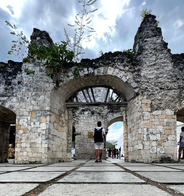 The Oslob Cuartel Ruins is one of the most visited heritage sites in Oslob. The cuartel is made up of thick coral stones from the ruins of the bell tower. The foundations were built strong that it has withstood time and natural calamities. It is the most photographed historical structure in Oslob. The structure is dramatic and walking along the corridors of the Spanish ruins challenges your creativity as you try to capture the drama the unfinished Spanish structure in your photos. Cuartel Beach and Baluarte Ruins Cuartel Beach is the “baywalk” area of the town. Located at the back of the Cuartel Ruins, this reclaimed area was converted into a sprawling open park that gives one a calm view of the Bohol Sea. What makes this bay park really unique is the clear and clean waters of its beach which makes it quite tempting to jump into. You can even enjoy watching schools of fish lounge around its breakwaters. 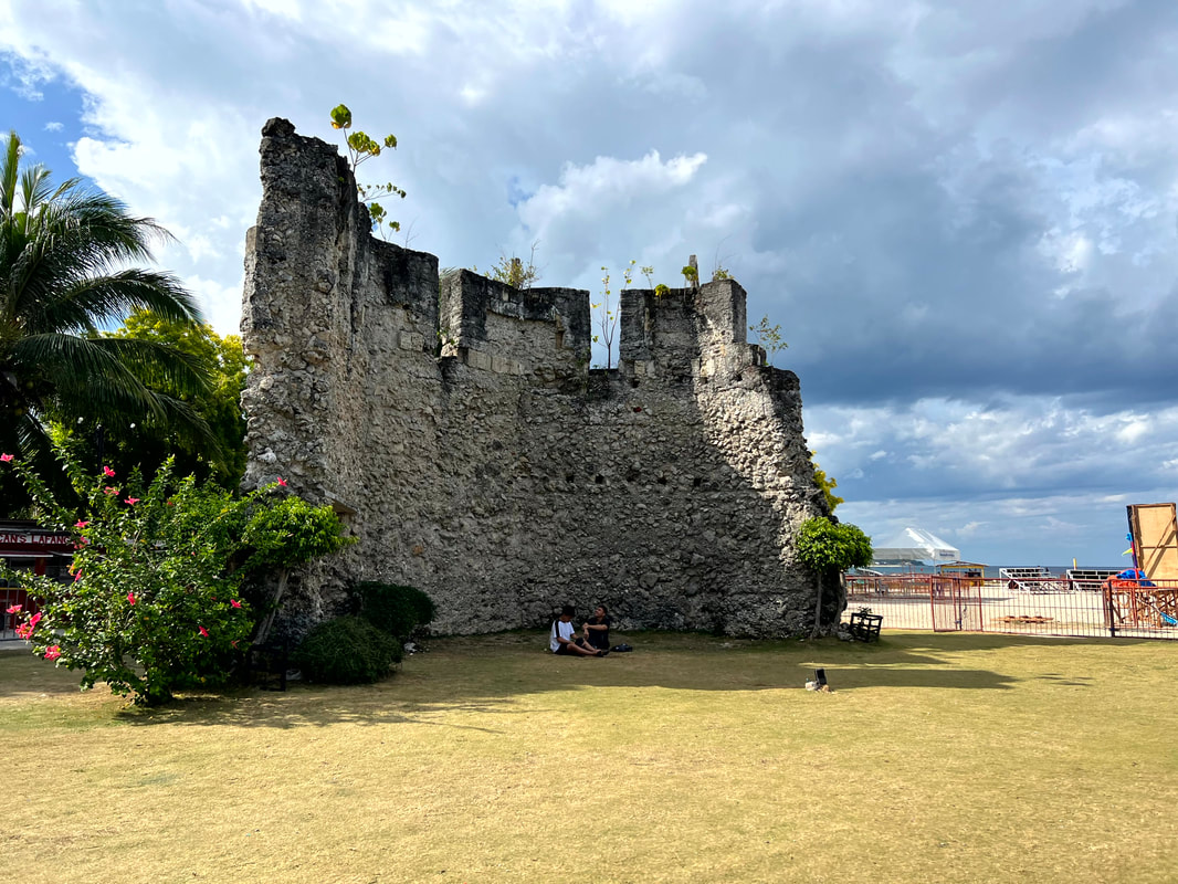 The ruins of a baluarte in Oslob town proper. It is one of the 12 built in Oslob.
You can also find the ruins of a Baluarte or watch tower on one end of the park. The Baluarte is one of the 12 watch towers built in Oslob to protect the town from pirates. A monument honors Father Julian Bermejo who spearheaded the construction of these baluartes which totaled to 40 and ran the length from Carcar to Santander. His biggest contribution was the construction of the Oslob Church which he completed in 1847. The park is a perfect way to slow you down after a day of exploring nature and history in Oslob. You can take a seat in one of the benches and just breathe in the view of the sea and enjoy the breeze. I seldom get this kind of views in metro so I really took it in. It was calming and recharging. Oslob was perfect in its simple state. POST TRAVEL NOTES My day trip to Oslob was definitely a much needed pause and recharge for me. It gave me a cold freshwater shower and a quick saltwater dip. It gave me the opportunity to commune with nature while appreciating history. It was like getting the best of two worlds at the same time. It was refreshing and recharging. Oslob, at its basic, is OsLove! Let's check walk the history of Cebu next? Exploring a place, for what it is, is an exciting adventure. You get to see the real beauty of the destination and not what it is trying to adopt. It makes you fall in love for what it truly is. Destinations need not re-invent its wheel to gain tourism traction. All it needs to do is to look within and uncover what they have to offer that they can truly say is uniquely their own. #MahalinNatinAngPilipinas #SamaSamangBabangonMuli Getting there: Major local and international airlines have direct flights to Cebu. You can take a cab from the airport to the Cebu South Bus Terminal where you can take a bus to Bato via Oslob. You just tell the ticket seller and the bus conductor to drop you off at the stop going to Tumalog Falls or at the Oslob town proper.
Mention the word “Elyu” and the first thing that comes into people’s mind are the swells of San Juan. After all, it is the hippiest and the hottest place to be, on this side of Luzon with its waves, food, and festive nightlife. It is the province’s tourism draw at this time after having stayed in the sidelines for quite a while. But beyond the beers and cheers, we discovered a more subdued nature spot tucked along the hills of Pugo - Balay Mamboo.  Celebrated my birthday differently this year at Balay Mamboo. Nestled along the slopes of the hills on the more rugged side of Elyu, Balay Mamboo is a homey enclave that is perfect for those looking for a tranquil spot to relax. It is about 3 hours away from Manila and about an hour away from San Juan or Baguio. This quaint resort can accommodate a maximum of 15 persons and has complete amenities - bedrooms, veranda, kitchen, a bonfire place, and a dipping pool for kids and adults. It is a great place where you can enjoy a slow weekend with good company. Urban Detox Spot Balay Mamboo is in the quaint town of Pugo so you can expect to enjoy a provincial kind of living. Apart from your internet connectivity, it is very far from the usual humdrum of the city. There is nothing much to do so you get to enjoy your me time or sharing stories with your family and/or friends. You get to watch the whole day pass and you get to choose what you want to do and when you want to do it.
You can go for a walk around town and enjoy the hustle of their market. You can choose to walk around and explore the area around Balay Mamboo. You can also choose to just take the time off and enjoy the peace and tranquility of the place. Bottomline, Balay Mamboo and Pugo slows you down. It gives you that needed break from the “noise”. You learn to appreciate a more laidback kind of living that you won’t get in the city. Nature Escape Balay Mamboo was designed as a modern nipa hut. The second floor is a large living room/bedroom area that is open so air freely flows through the structure. The first floor is where you would find the kitchen and dining area. Adjacent to it are the veranda, the dipping pools, and the bonfire area. The best part of it is that the place is surrounded by lush greens which gives the place a tranquil vibe.
The place gives you the opportunity to commune and get re-energized by nature. You get to be serenaded to sleep by the nature’s evening sounds and you wake up to the lively chirping of birds. The fresh air and spring water pool gives you a refreshing break from the usual chlorinated water and musky air of the city. You get to enjoy the sun with nature surrounding you. You get to feel, see, hear, and breathe in nature’s beauty and bounty at Balay Mamboo. Chill Down Balay Mamboo gives off a homey vibe. The design of the house opens opportunities to interact with your family and friends. You get to cook together, share meals, and even sleep together. You get to spend time chilling with your companions in a comfortable and relaxed ambiance.
You can also enjoy sharing stories while toasting marshmallows or enjoy a quick dip at the pool under the canopies. Since the place is tucked along the hills, you can enjoy laughing your hearts out or singing to your favorite songs from sundown to sun-up. You can share drinks while enjoying a round of games. Balay Mamboo is a great venue to make relationships stronger in a fun and relaxed vibe. POST TRAVEL NOTES Social media has been pivotal in bringing forward destinations that are interesting and worth exploring. This has been my case when I first came across Balay Mamboo in Pugo. It was a simple a tiktok post that I turned into a venue of a birthday celebration. It was a perfect spot that describes me in general - exploring, nature lover, chill, and loves to have fun.  Where are we exploring next? Let me be clear, this is not a paid partnership. It is an honest review and part of my advocacy to promote destinations and spots that deserve to be highlighted. As a local traveler, it is not just about locations. It is also about small businesses that leave a smile on our faces. This was the first time that I celebrated my birthday out of the usual and Balay Mamboo gave me exactly what I was looking for - a fun and tranquil enclave away from home. #MahalinNatinAngPilipinas #SamaSamangBabangonMuli Getting there: You can contact Balay Mamboo through their Facebook page: Balay-Mamboo. The enclave is located along the national highway in Pugo La Union. You can go down at Brgy, Ambangonan at the road leading to the Ambangonan Elementary School where you can walk to Balay Mamboo. Alternatively, you can go down at the junction in Pugo and take a trike to Balay Mamboo. If you are bringing a car, you can use Waze for the direction.
With a few more provinces to explore to complete my #GOTPH81 project, it got me thinking on what PH destinations I would love to re-visit. The Philippines has a thousand reasons to make you fall in love with it but there will be destinations that will live an imprint on you. This are not the usual destinations that you frequently visit but these spots have charmed their way enough that makes you want to return and explore it again and/or discover more. In short, you got captivated and you want to see more.  Where are we headed next again? In my case, eto yung mga lugar na tumatak sa akin as I went around getting lost around the Philippines. I have only been on these destinations once but I was captivated that I want to visit and explore it again, even if it has been years since I visited these spots. A common denominator among these PH destinations is having me fall in love with its laidback and rustic vibe, far from my usual day. These spots slowed me down and gave me a different understanding of the phrase “the best things in life are free”. Sagada Sagada is totally a different world. It is rustic and ethereal where its culture and natural beauty perfectly blends homogeneously. Tucked in the rugged mountains of the Cordillera, Sagada got its reputation as a destination for those who are soul searching. The place is laidback where time seem to standstill. You get to be surrounded by the beauty of nature while getting immersed in their culture. Sagada slows you down and gets you grounded on yourself and nature.  I love the adventures and the tranquility that Sagada offers. What I loved about Sagada was its laidback community vibe. Visitors are treated like family and adjusts to the ways of the community. Locals were able to preserve their way of life and imbibes the same respect to its visitors towards their way of life. Its natural attractions are simply breathtaking. Whether you are an outdoor kind of guy or a food geek, there is always a corner for you in Sagada.
Sagada is developing and there are more attractions catching the attention of travelers. I would like to catch the sunrise at Kiltepan Point and then marvel at the beauty of its blue soil. I would like to delve my hand on Sagada culture. I would try my hand on pottery and then find my own corner in Sagada to enjoy the peace and quiet on this side of the Philippines. You can read about my Sagada travel here: #GOT81MountainProvince: Sagada In Its True Form Marinduque Marinduque is the geographical heart of the Philippines. With that said, it is also interesting to note that the island is also shaped like a heart. It is an island province that was made popular by its Moriones Festival - a Holy Week celebration where locals go around town in their Morion outfit as part of their “panata” or faith promise. Part of the celebration includes the re-enactment of the suffering of Jesus Christ. But beyond this popular festival is an island that is proud of its history and natural beauty.  Marinduque is known for its Moriones Festival every Holy Week. Exploring the eastern side of Marinduque on two separate occasions have given me a glimpse of its natural beauty, from its white sand beaches to a sandbar to an amazing rock formation. There is no doubt that it is a beautiful island that nature blessed and its laidback vibe complements its natural beauty. I guess it is safe to say that it is an island where you can choose to chill down in its beach spots as you enjoy a drink while watching the sunset.
There is more to this island that I want to experience. I would like to explore Boac and its collection of old houses. I would like to enjoy the beaches and the islands on the west side of the island. I would like to go face-to-face with one of its Morions and join in with the colorful celebrations of Marinduque. You can read about my Marinduque travel here: The Unexpected Twist, Roadblock, and Detour of Marinduque and Natanaw Din Ang Summer Sa Catanauan Romblon This group of islands is more than just its renowned marbles. From the high peaks of Guiting-Guiting to the clean spring waters of Catingas to the white sands of Cresta de Gallo, Romblon has something to offer to any type of traveler. This is destination where you get to enjoy the old town vibe as you immerse in its history and natural beauty.  Romblon is an all-adventure kind of destination. Romblon is a no frills destination. It is a place where you get to enjoy the small town community vibe where everyone knows each other and everyone knows you are a “dayo” or visitor. You get to explore the town like a local and you get to eat like a local. If you feel like hitting the beach, you can just take a quick trike ride to Bonbon Beach. If you are up for a history and a view, you can go check out Fort San Andres that offers a panoramic view of the town and its waters. Don’t forget to swing by Cresta de Gallo where the island defines how getting marooned on an island can be fun.
I would like to see the different facets of Romblon. I want to explore their own version of Boracay and take the plunge by its cliff. I would like to enjoy a no frills trip where I get to experience the simple town life where you get to interact comfortably with locals. One where you can enjoy a really quiet evening. I would like to also to head back to Cresta de Gallo and once again enjoy the sunset on one side and the sunrise on the other side of the island. You can read about my Romblon travel here: #LaBoRomblon Guiuan Among all the PH destinations that I have been to, Guiuan is turning out to be my favorite. This Eastern Samar destination perfectly blends my love for history, nature, and adventure. I think it is a place that I can always enjoy chilling down. It is a no-frills destination with a lot of beach spots to visit - from crashing waves to still waters.  Among all the PH destinations that I have visited, Guiuan is my favorite. Guiuan is an unassuming destination with a lot of activities that you can enjoy. You can choose a tame adventure of beach and/or historical church hopping to a more adrenaline-pumping activity like jumping off a bridge or sliding under it. These activities are just within reach from its laidback town center. It shouldn’t be a surprise that these activities seem to be a normal day-to-day life of locals.
I would like to visit Homonhon Island one day and immerse in its history. I would like to see what Magellan saw. It would also be nice to try riding the waves on this side of the Philippines. I would like to stay here for at least a week and enjoy living like a local and enjoying the place like a local. Guiuan locked me in its charm with its laidback and rustic vibe. This is the kind of place where you get to chill and enjoy the best and simple things in life for free. You can read about my Guiuan travel here: #GOT65EasternSamar: Guiuan And Only and #GOT65EasternSamar: Guiuan And Only Pa Din or you can check out my YT travel channel here: #ByahengOffTheGrid Guiuan Siquijor This island is on fire! Siquijor exudes a different kind of appeal with its charm and its mysticism. Blessed with the beauty of nature, it is this same nature that fueled the fire of its local folklore - the mambabarangs. This destination was once feared but was weirdly interesting for me because of these beliefs and stories.  Siquijor and its mystic vibe is one of my favorite destinations in the country. My visit to Siquijor was a quick one. You can enjoy the island in a day by tricycle or motorbike where you get to see the island’s highlights. I enjoyed swinging into Cambugahay Falls but conked out in Salagdoong cliff jump. I loved the history of Lazi Church and the mystery that surrounds the church in Maria. I love its chill beach vibe while swinging on a makeshift swing made from a used rubber tire. Siquijor is a real beauty shrouded in “mystery”.
Dark tourism is something that really interests me. This is the reason why Siquijor has indulged my curiosity. I would like to visit this island again and come face-to-face with a mambabarang, not to ask for charms or potions but to get an understanding of this unique island culture and belief. I mean, Siquijor is an island that is really beautiful and the mysticism that surround it makes it more appealing. You can read about my Siquijor travel here: De-mystifying Siquijor Siargao Siargao was a birthday treat and the trip did turn out to be a treat. Located on the eastern side of the country, this teardrop-shaped island initially gained popularity as a surfing destination. But beyond its rolling waves is a collection of natural attractions that will sweep you off your feet. It did not come as a surprise that, once these photos and videos hit social media, Siargao will be on almost everyone’s bucket list. 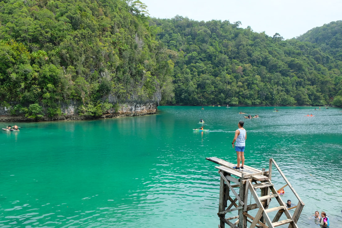 Siargao will make you jump! One thing that I loved about Siargao is being a one-stop shop for its guests. It is an all-in-one destination for adventure, nature, party, and food. Yet, it still manages to keep everything “under the sheet” to maintain its rustic and laidback vibe. This is a place where you can walk barefoot along the road to your favorite restaurant or party the night away, in hidden in plain sight. You can face your fear of heights at Sugba Lagoon or enjoy a nice dip with the jelly fish. You can watch surfers catch the waves or be one of those catching the wave. Better yet, you can choose your own solitary spot to just enjoy the laidback vibe.
More than just a treat, Siargao is a place that teaches you that there is a proper time for everything. There is a time for work, for your family or friends, and for yourself. It is a place where you can stay within your comfort zone or get out of it. It also teaches you to be nice to others because you would need the others to find out where tonight’s party will be. You can read about my Siargao travel here: #SiargaoNaNgaAngHinahanapNgPuso (Part 1) #SiargaoNaNgaAngHinahanapngPuso (Part 2) or you can check out my YT travel channel here: #ByahengOffTheGrid Siargao (Part 1) #ByahengOffTheGrid Siargao (Part 2) Hinatuan My trip to Hinatuan would always be well-remembered as this was where I received the news of the country’s COVID19 lockdown. The announcement cut short a trip that was suppose to take me across the eastern side of Mindanao. Hinatuan was the last destination that I visited pre-pandemic lockdown. I vividly remember having to stay out at a 711 store at 8pm as I toned down on the news. Why 711? It was the only store open at that time. That’s how provincial the vibe was of the place. 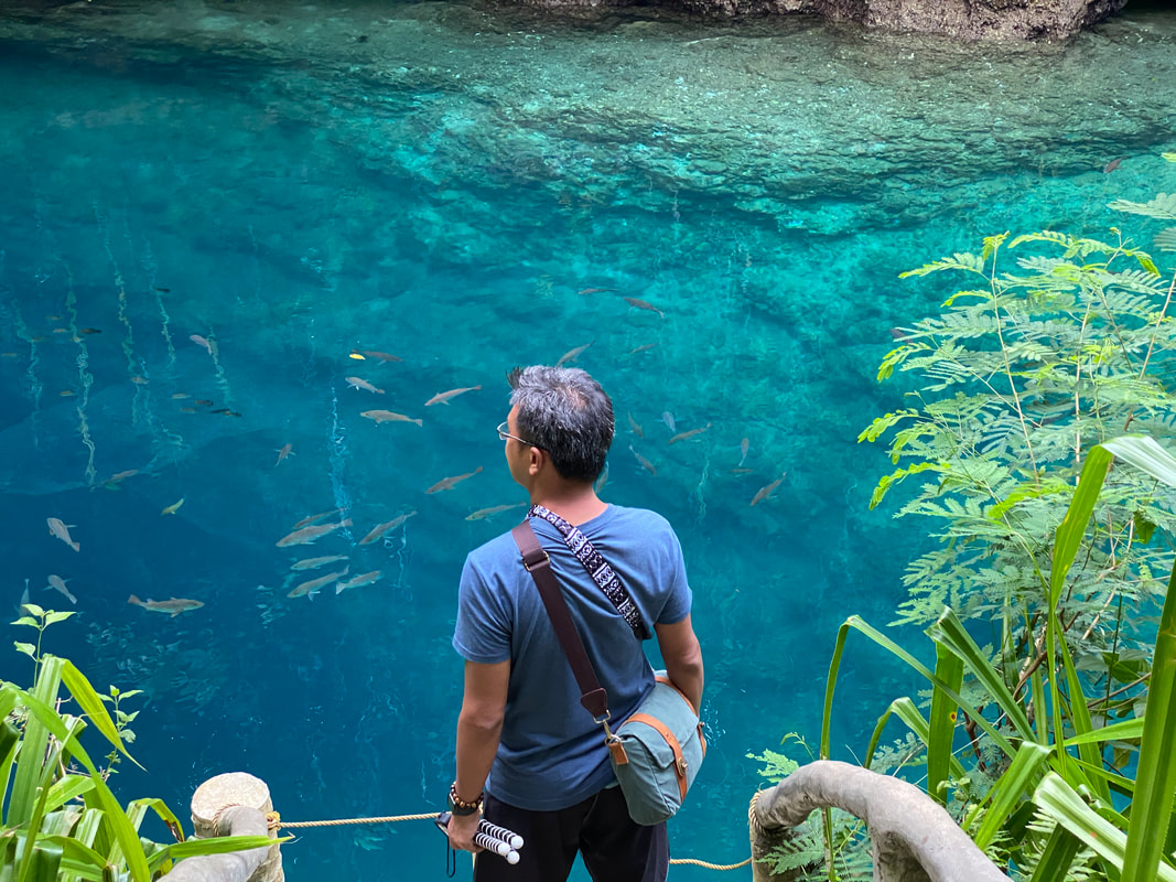 Hinatuan makes it mark with me!!! The “entities” of Hinatuan must have blessed the place so much that its natural beauty continues to enchant its visitors. Its river, where fresh water meets sea waters, amazes you with its blue hues as you enjoy a quick dip in its cold waters. Further out to the sea, you can also enjoy interacting with stingrays at the Sibadan Fish Cage. You can also choose to just enjoy a day by the beach in one of the islands that dot the Hinatuan Bay.
Although my trip was cut short, it gave me a glimpse of the rustic town of Hinatuan and its surrounding areas. There’s much to see and enjoy in this place. It would be good to one day go beyond the usual and enjoy the lesser known attractions in the area. You can read about my Guiuan travel here: Suri-WOW-ed or you can check out my YT travel channel here: #ByahengOffTheGrid CARAGA POST TRAVEL NOTES These are 7 destinations that gives you a glimpse of why I #LoveThePhilippines and the destinations of my preference. These places are just 0.09% of the total spots that you can explore in the Philippines. Our country has cities and provinces that cater to any kind of traveler, whether local or foreigners. You just need an eye for appreciation and a sense of Filipino pride.  Time to explore what's under the roof and to keep myself dry. You can find your own reason to #LoveThePhilippines and you can always start in your home city or provinces. Do not be afraid to go out and explore the areas around you. Travel should start from your “home” because that is where you get to appreciate spots that on a regular day looks just the usual. #MahalinNatinAngPilipinas #SamaSamangBabangonMuli
My first encounter with this destination was a grueling 13-hour run, walk, and hike around the island. The race around the island had me surprised and amazed of its raw natural beauty. I vowed to visit it again. Who would have thought that on my fourth visit to this island, I would be doing my own version of race that got my guys lost in the island of Tingloy. 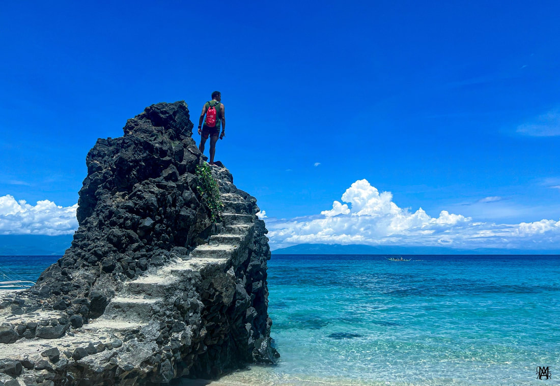 A fourth visit to the island introduced me to a different side of Tingloy! Roughly 3 hours away from Manila, Tingloy is an island-municipality along the Batangas Bay composed of the islands of Marikaban and Caban and smaller islets in the area. It is a beach destination that has caught the attention of local travelers because of its raw beauty and proximity to the metro. It is a perfect escape from the huff and puff of the city that could easily quench your thirst for sun, sand, and sea. We were lucky to have enjoyed all three as we took a quick beach break from our usual day inside our workspace. Tingloy Poblacion The Port of Tingloy is the first to welcome you to the island. There are regular fast craft ferries that ply the route to the island from Anilao or Talaga Port. Chaos ensues as passengers disembark with officials giving instructions and trike drivers offering their services to its visitors. The one thing that will strike you the most is the peaceful and simple vibe as soon as you set foot on the island. The warm smiles and hospitality of its locals is easily felt as you explore the poblacion.
The Poblacion area is a simple community by the shore facing Mabini in the mainland. The vibe is very homey and welcoming as each person that you would meet would always flash their warm smiles. It is the center of commerce, religion, and education of the municipality as this is where you would see the main church, the schools, and most of the businesses like restaurants, grocery stores, and homestays. Interestingly, it also has a couple of well-preserved ancestral houses that date back to American period. The Rosales Ancestral House is one of these houses that date back to 1922.
The warm hospitality of the locals has not changed from the time that I first set foot on Tingloy to my fourth visit. It was something that does stick out every time and that I always carry home with me. The quaint town vibe gives you that relaxed feel that lingers days after you have left the island. Coastal Hot Spring (Barangay Papaya) About 15 minutes by trike from the port, Barangay Papaya is an unassuming community on the other side of the island that faces Mindoro. Life here is relaxing and simple. It is a close-knit community along a rugged coast where time slips by very slowly and you get to enjoy the chill beach vibe. It has a small damaged port where you can enjoy the perfect view of its coast against the backdrop of the sun setting behind a hill.
The rugged beauty of its coast are revealed when the tides draw out to sea. Its rocky features give its shoreline a melo-dramatic landscape, especially with the sun setting or the silhouette of Mindoro in the background. But beyond its rocky features, the low tide reveals a secret - a hot spring by its rocky shores. The rock formations on the coast will amaze you especially on the section where a straight line perfectly halves the formation. As you explore the rock pools, you would notice hot water bubbling to the surface. The water temperature ranges from comfortable to almost boiling hot. Locals say that hot mist can be observed in the early morning around the area when the tides are low. It made me wonder where the hot spring is coming from… perhaps an underwater volcano? Sombrero Island Tingloy is an island destination and the waters surrounding it are teeming with underwater life. It has white sand beach spots that has gained popularity through the years. A great way to explore the island’s spots is to hire a small boat and enjoy the sun, sea, and sand. We were lucky to have the sun on our side when we visited Tingloy that gave our team a well-deserved last minute summer escape. Our first stop… Sombrero Island.
The island got its name because its shaped like a hat or a “sombrero” jutting out from the sea. It is located off the western coast of Marikaban and is a popular spot for diving and snorkeling. We donned our life vests and masks to enjoy its underwater beauty. I marveled at the life under its waters teeming with schools of fish with the livery of its rich coral reefs as its backdrop. I enjoyed the tranquility of just paddling out and enjoying the underwater views of Sombrero Island. Sepoc Beach and Kweba ni Dugong Among all the spots when I first “explored” Tingloy, it was Sepoc Beach that REALLY made a mark on me. I still can still vividly recall the view that opened up to us after we came out of the lush vegetation covers protecting this beach spot. It was a perfect unspoiled white sand cove that you only see on movies. I had to stop and just breathe in its beauty. Unfortunately that side of Sepoc is already privately owned and guests are no longer allowed to visit. 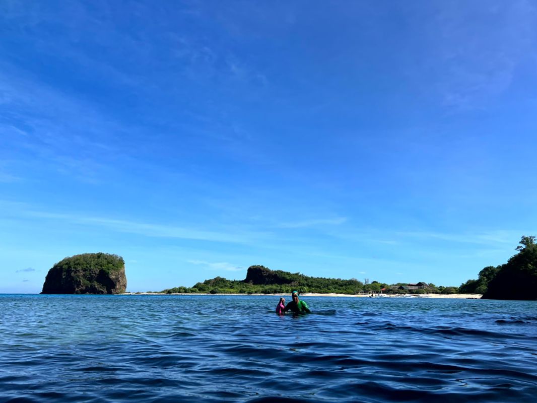 This sandy side of Sepoc Beach, now owned privately, was one of the beach spots that left a mark on me during my first visit. The adjacent side of Sepoc Beach is the one that is accessible to the public. This beach cove is surrounded and protected by rocky cliffs and has a mix of stone and sand shoreline. The round stones of different shapes and sizes are found along its shores that, when our banca docked on shore, some of my guys started collecting stones as “panghilod”. Talk about bringing home a unique pasalubong from Tingloy. 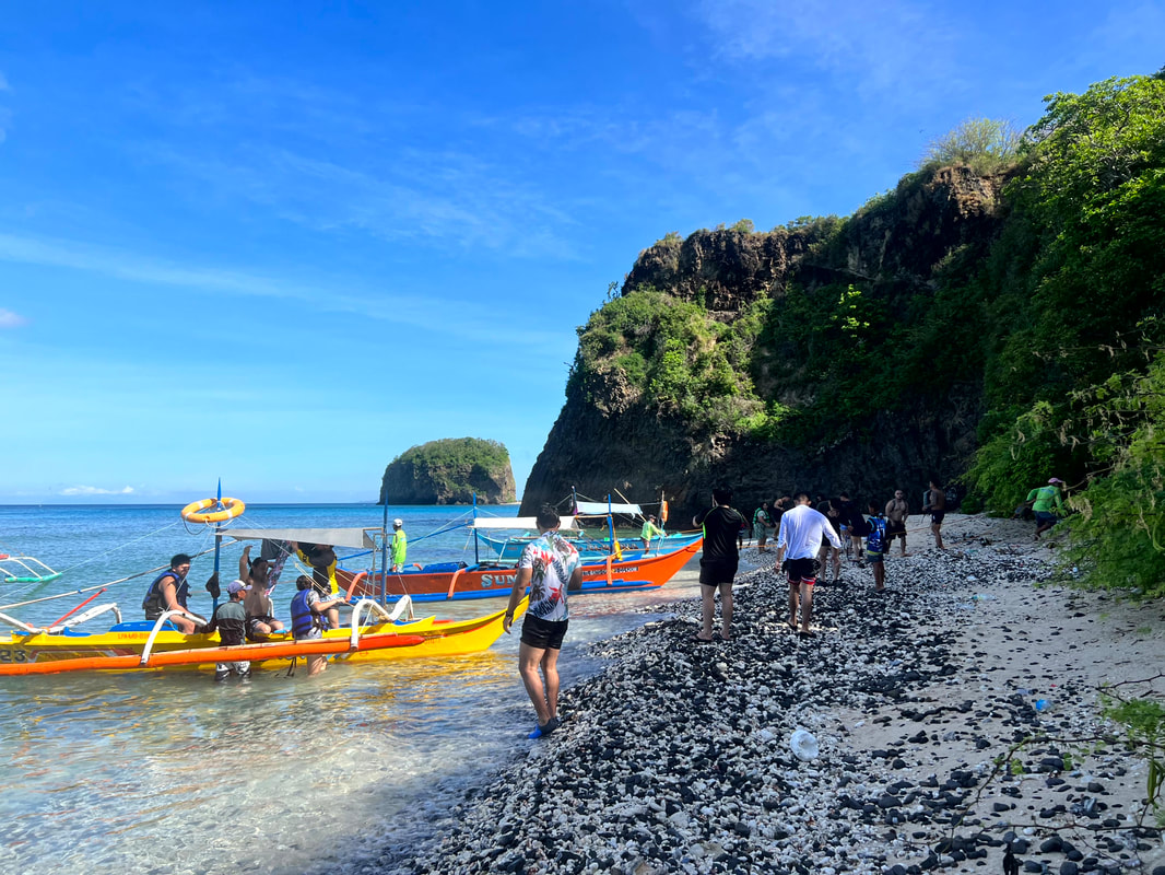 This is the side of Sepoc Beach that can be accessed by the public. The rock cliffs that separate the private and public beach strips of Sepoc have cave spots. Aptly dubbed as “Kweba ni Dugong”, the three caves sits along the rocky coastline of the beach. Getting to the caves is tricky as one would have to traverse the sharp rocks along its cliff walls and swim across the mouth of the first cave while the waves crash you onto the rocks. There is a huge chance that you would end up with minor cuts and bruises.
Two of caves are single opening caves and the third having 2 entry or exit points. The first cave was a challenge to explore because of the depth of the water and the waves continually pushing you inwards. The two other caves had a more chill vibe as it had sandy spots where you can sit down, rest, and relax before going for a return traverse. Despite the challenge, cuts, and scratches, our team enjoyed the whole experience of finding dugong. Blue Lagoon A rock formation by the coast with two turquoise-colored pools and a panoramic view of the sea is a great spot to chill down in Tingloy. The twin pools are surrounded by rock formations that create a still sandy pool where one can enjoy a quick dip. You get to enjoy its waters with the shade from its cliff and a full view of its blue waters.
The rock formations also provide a good backdrop for those IG-worthy beach photos. The rugged landscape provide a good contrast to smooth background of the sea. If you just want to chill down, you can find your spot and enjoy the breathtaking views as the sea breeze cools you down. Masasa Beach Masasa Beach is the main tourist draw of Tingloy. With its white sand shore and relaxing beach view, it is THE most popular beach spot in the island. It has maintained its beauty despite the influx of tourists and commerce in the area. It was good though that the LGU have placed policies to maintain its upkeep. 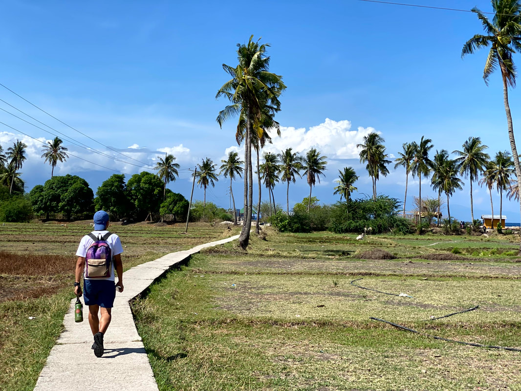 On my way to Masasa Beach - the prime attraction of Tingloy. This beach cove facing the Mindoro area boasts of white sandy shores and still waters so you really get to enjoy wading in its waters. Commerce have been regulated so you don’t have much structures around except for a couple of beach huts, rock covers, and tree covers. You get to enjoy the beach in its almost unspoiled beauty. On one side of the beach is a rock formation that you can climb up to capture a panoramic view of Masasa Beach.
The biggest discovery on my fourth visit in Masasa was that beauty above its waters run parallel to the beauty underneath its waters. A snorkeling activity where we were dragged by our bangka along the deeper parts of Masasa Beach revealed the colorful underwater life beneath its waters. It was teeming with beautiful corals and sea creatures. If you are lucky enough, you might even catch a glimpse of a sea turtle grazing along its sandy shores.
Masasa Beach was a real surprise for me on this trip. It revealed its beauty beyond what I already knew. Not only was it able to preserve its old charm, it was also able to share another facet of its beauty. It gives you more reason to explore Tingloy again and again. POST TRAVEL NOTES Tingloy have kept its old charm and has given me another facet of its beauty. I never thought that I would discover something new on my fourth visit to the island - a hot spring and rich coral life right at the doorstep of Masasa River. I discovered its beauty when I first got lost in Tingloy and getting my guys lost this time revealed more sights to enjoy. I guess getting #LostInTingloy is not a bad idea after all. 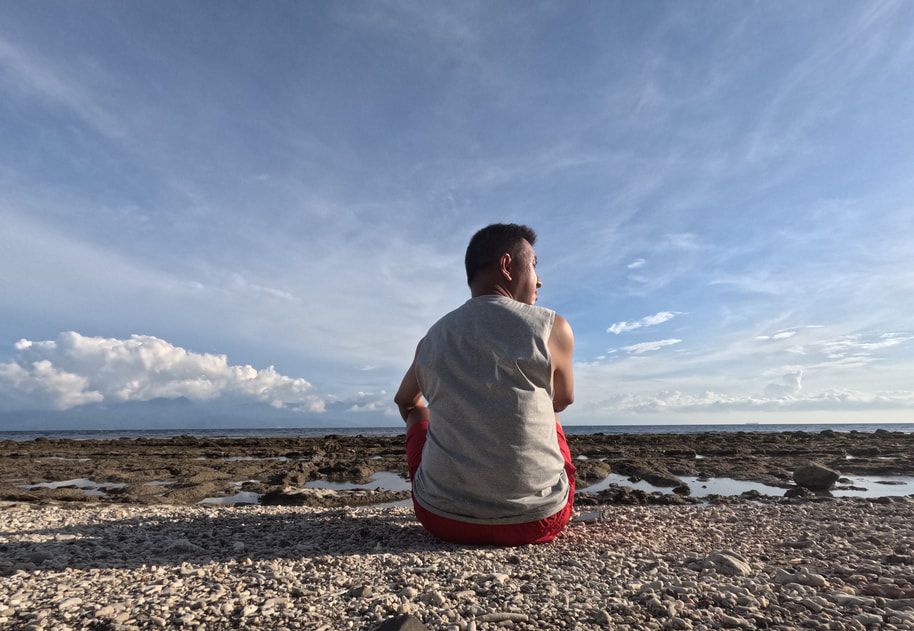 I guess, we all had fun. Where to next? Re-discovering a destination is not a bad idea. It gives us the opportunity to overturn stones that previously stood on to reveal something new about the place. We get to see the place from a different lens that makes us appreciate the place more. Kung bibigyan ka ng pagkakataon, anong lugar sa Pinas ang gusto mong balikan? Share mo naman sa comment ykung saan. #WeGiveTheWorldOurBest #MahalinNatinAngPilipinas #SamaSamangBabangonMuli Getting there: You can take a bus to Batangas Grand Terminal from Metro Manila (Quezon City, Makati, and Paranaque). You can then take a jeep from Batangas Grand Terminal to either Anilao Port or Talaga Port (Prevailing weather or season determines which port will be used as jump off points to Tingloy). Jeepney drtivers would know which port would be in use. Fastcraft vessels are available at the port to take you to Tingloy. Tricycle is the mode in the transportation within the island. There are a lot of homestays on the island. If you want a laidback vibe, you can stay at Waterfront Beach House in Barangay Papaya. For an easy, complete, and organized trip to Tingloy, you can check out Masasa Beach Transient House on their Facebook page or you may contact Edric Cepillo at (0909) 1998174.
Stories of hauntings in its abandoned military hospital piqued my interest to this destination. I have read its history, how it molded the landscape on this side of Pampanga, and how the huffing of Mount Pinatubo puffed out the lights of this former US military base. It also shares a story of rising up from the volcanic ashes to become a prime destination for business and pleasure. This is progressive township of Clark in Pampanga! 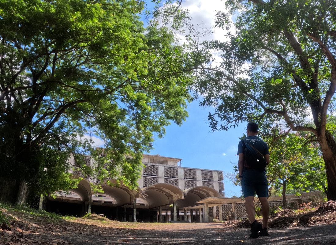 Stories of hauntings at Clark Abandoned Hospital "haunted" my curiousity. Clark Field was originally established as Fort Stotsenberg in 1903 under the US Army. A portion of the camp was used as a landing field and was called Clark Field, in honor of Harold Clark - a military aviator who resided in Manila from 1904 to 1910. It was one of the largest airfields during World War 2 and served as a major operations center of the Japanese Imperial Army. It remained as a major stronghold of the US and Philippine military forces after the war until the departure of the Americans in 1991, following the eruption of Mount Pinatubo. Clark has long risen from the ashes spewed by Mount Pinatubo. From a military base to a bustling tourism and economic hub, this destination serves as the gateway to the north with a long list of places to discover and explore. My recent visit had me walking around the historical core of Clark. The place where it all started. Clark Museum The best way to start exploring the historical core of Clark is a quick visit to the Clark Museum. Located at one end of the parade grounds, the interactive museum walks you through the history of Pampanga and Clark. It also showcases the faith and culture of the Kapampangans. The museum also has a 4D Theater that will walk you through the early beginning and development of the township of Clark in a movie. The Clark Museum has 4 galleries to enjoy. Gallery 1 walks you through the geology and geography of Pampanga. The province is a flat land sandwiched by two volcanoes - Pinatubo and Arayat. Both volcanoes played a huge role in the geography of the province. It has been the home of the Aetas and has a unique biodiversity. The uniqueness of Pampanga transcends to its colorful culture and this is featured in Gallery 2 of the museum. It walks you through its religious celebrations, Kapampangan culture, and creativity.
Gallery 3 and 4 focuses on the early beginnings of Clark as a military base to its development as an economic hub in Central Luzon. Gallery 3 gives you a brief on its historical core with its collection of artifacts from the past. It walks you through the humble beginnings of Fort Stotsenberg until the evacuation of the Clark in the wake of Mount Pinatubo’s eruption. The history leads guests to the present-day Clark with its industries, development, activities, and attractions. It also gives you a preview of the future of its township.
Unfortunately, I was not able to check out the 4D Theater because I was not able to catch the scheduled showing time. The museum and the theater have separate entrance fees of Php100 each. Both the museum and theater are great ways to start your exploration of Clark because it gives you a better overview of the destinations to visit. Fort Stotsenberg Historical Marker / Clark Parade Grounds Just right in front of the museum is the Clark Parade Grounds - a sprawling open oval field at the heart of Clark’s historical core. Barn Houses, that now serves as offices and restaurants, are lined up along the sides of the field. The grounds give you a landscape view of the area at any point of the oval. It kind of reminded me of the UP Oval, the only difference is that you get to see the other side of the oval from where you are standing. 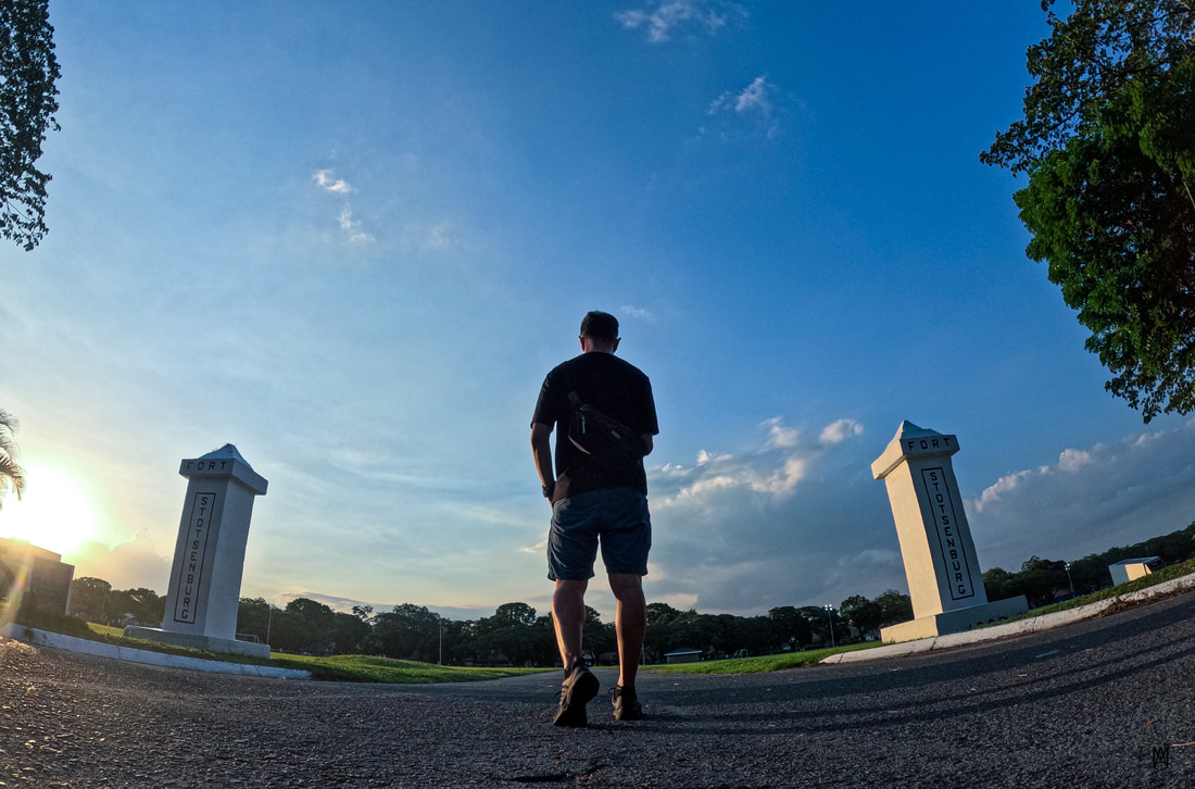 Clark dates back its origins to the US military camp of Fort Stotsenberg. The parade ground is a popular spot for activities with family and friends. The wide expanse allows you to choose your spot to enjoy an afternoon picnic or to simply enjoy the views and the activities happening around you. As I walked along the jogging trail, I enjoyed watching a soccer game, kids playing by the grass, families spending time with each other, and friends doing their jogging rounds while sharing stories and laughter. This is a perfect spot in Clark to wind down at the end of the day. 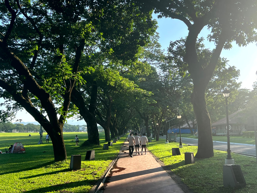 The Clark Parade Grounds is a place where you get to enjoy a lot of activities with family and friends. The Clark Parade Grounds was a mute witness of the place’s early beginnings. The Fort Stotsenberg Historical Marker stands alongside the pillars of the gates of the original camp along the oval. It outlines the history of the field as an Aeta community before becoming a militart camp and eventually as an economic center in Pampanga. A monument was built that flanks the pillars to emphasize the military history of the place. 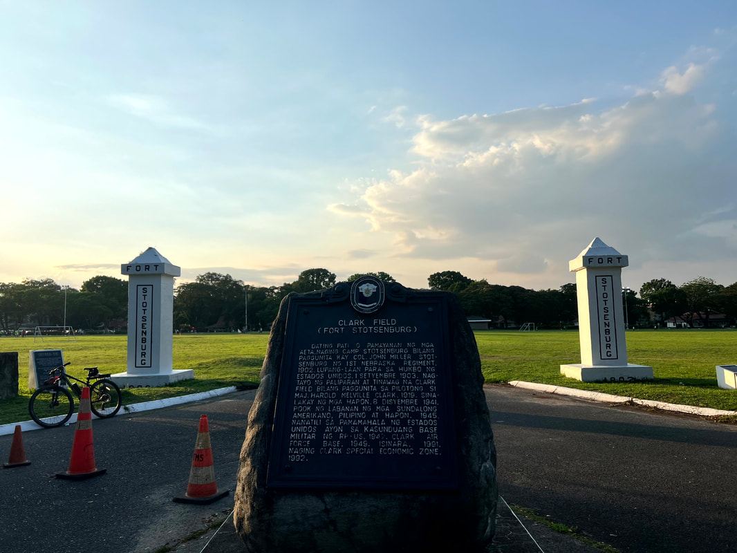 Fort Stotsenberg was a military base established by the US in the country in 1903. The grounds is also a perfect place to catch the sunset. I realized this as I enjoyed an afternoon stroll around the grounds. You can choose a spot where you get to enjoy the warmth of the sun as it sinks down behind the mountain ranges along the Mount Pinatubo area. Barn Houses / Historical Structures The Clark Museum has a display that mapped out Clark Airbase. Interestingly, these buildings were assigned a number for reference. Most of these structures are still in use today, either as an office or for business, and most are clustered along the historical core of Clark. Some now stand in ruins that serve as a memory of Clark’s heydays. This is the map of Clark Airbase on display at the Clark Museum. Lined up on one side of the parade grounds are the Barn Houses. These large houses date back to 1903 when Fort Stotsenburg was established as a military camp. It was interesting to find how these structures give you that American-community feel, the kind that you watch on US shows. I guess living or working in these barn houses give you that refreshing and quaint provincial vibe overall.
There are a couple of historical structures that you can find along the perimeters of the parade grounds. Building 2122 was once a bowling alley that later on became the office of the Post Commander and now the Office of the CEO of the Clark Development Corporation. Building 2425 was built in 1914 and served as a post office. It now serves as a the tourism office of Clark. As you walk around the oval, historical briefs are given for each building that holds significance to Clark.
There are other structures that you find around the area. A walk around Air Force City will bring you to the Ruins of the Old Kelly Theater and Building 5788 - the Catholic Church. Unfortunately, I was not able to take pictures as it is prohibited inside the camp. Building 5396 is stationed off a little further and serves as another chapel of the camp. Clark Philippine Flag Pole and President Manuel Roxas Death Place Historical Marker Located at one end of the oval stands the Clark Philippine Flag Pole. The flagpole has been on that location since the early beginnings of the military camp. It was erected in 1906 with a cost of USD220. It now stands proudly as a symbol of independence and resilience. 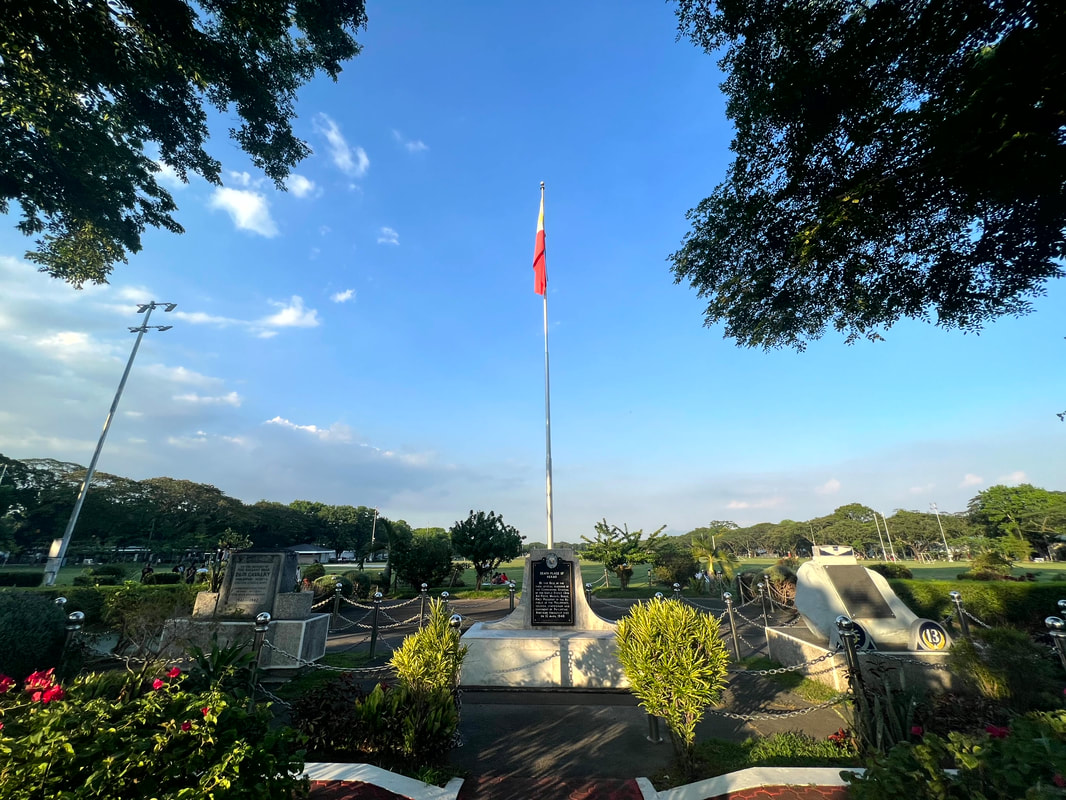 The Clark Philippine Flagpole was erected in 1906 at a cost of USD220. At the base of the flagpole stands a historical marker of Clark being the death place of former President Manuel Roxas. He was the 5th President of the Philippines and died after delivering a speech at the Kelly Theater. His term was the shortest for a Philippine President at 22 months and 18 days. Two other memorials stand adjacent to his NHI memorial honoring the men and women who fought and died during World War 2. Clark Abandoned Hospital If there was one destination that really made Clark interesting to me from the start, it is the Clark Abandoned Hospital. My interest in dark tourism placed Clark on my map because of the creepy stories of this hospital. It was featured as one of the scariest place on earth. This time around I made sure to make a quick visit. 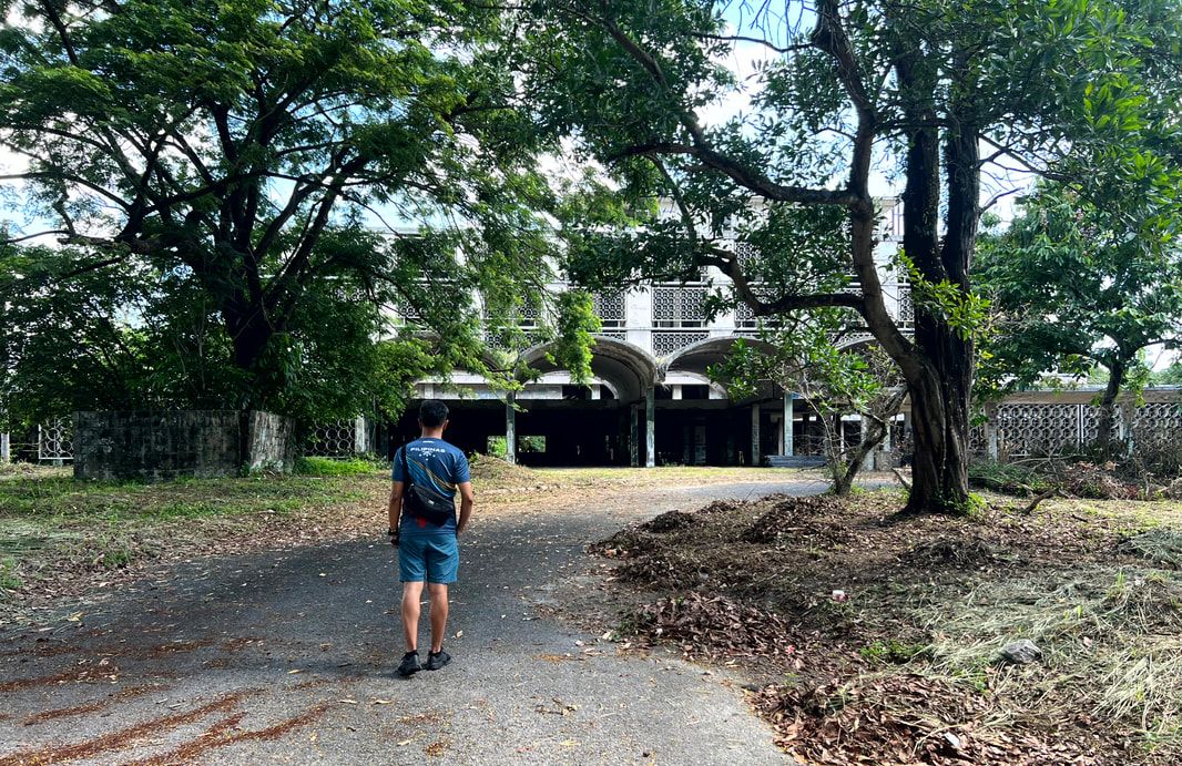 The Clark Abandoned Hospital is believed to be one of the haunted places in the world. Completed in December 1964, the Clark Hospital was built at a cost of USD6 million and was considered as one of the most advanced medical facility in Asia during its heydays. It had a capacity of 200 beds and was a mute witness to the casualties of the Vietnam War. It ceased operations in 1991 after the Americans pulled out of Clark and the hospital was buried with a 12-inch deep volcanic ash. Looters and nature took over the structure leaving only its empty shell. The stories of its hauntings were shared by locals and was even featured in international news. It is probably because of its bloody history that gave life to these haunting stories. From shrill screams to apparitions to objects being thrown, the stories have made rounds that either scared people away or attracted them to visit out of curiosity. They say that the morgue of the hospital was the most haunted. Did I feel anything when I went to explore it? It made me feel uneasy when I was there. There were times when I could sense that a lot of eyes were looking at me that gave me the creepy feeling. I could sense a young boy who was curious of my presence. The chill ran down my spine a couple of times but I was not scared. More than the scare, I was interested with the stories inside the walls of the abandoned hospital. I am looking forward to walking its halls soon, after the National Museum turns it into a provincial branch of the museum where the living and dead can share its stories side by side. POST TRAVEL NOTES Clark was like a phoenix that rose from the ashes of Mount Pinatubo. It continues to grow and change the landscape of the region from the time that it was established as a military camp to its current status as an economic center. It has seen the ravages of war and a volcanic eruption and yet it continues on picking up the pieces and rebuilding better from what was lost. A true symbol of the Pinoy’s strength and resiliency. 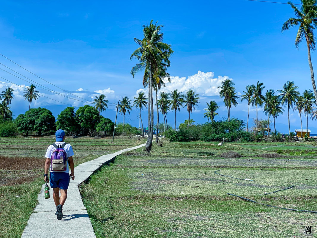 Weather is starting to get wet but it is always summer here in the Philippines! Every Philippine destination has a humble story on how it all began. Behind its development, you can find remnants and memories of the past that brought tears and smiles to its residents. It shares with you the ups and the downs of the past that paved the way to a stronger community. We need to value the past for us to see the best for our future. #WeGiveTheWorldOurBest #MahalinNatinAngPilipinas #SamaSamangBabangonMuli Getting there: Major airlines have direct flights to Clark from major airports in the country and in some international airports. If you are coming from Manila, you can take a P2P bus to SM City Clark from Trinoma. You can take a taxi or Grab to the Clark Museum. You can explore Clark’s historical core by foot from the Clark Museum.
|
Marc del Rosario
I believe in education, entrepreneurship, and caring for the environment. Archives
June 2024
|
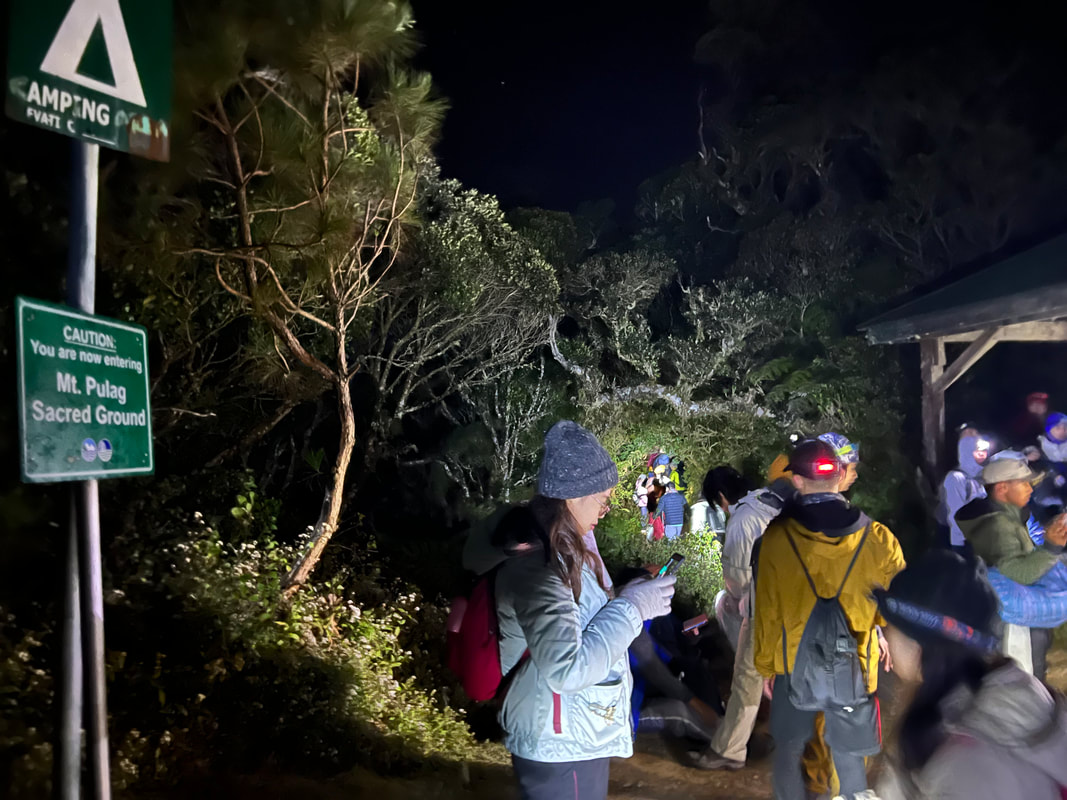
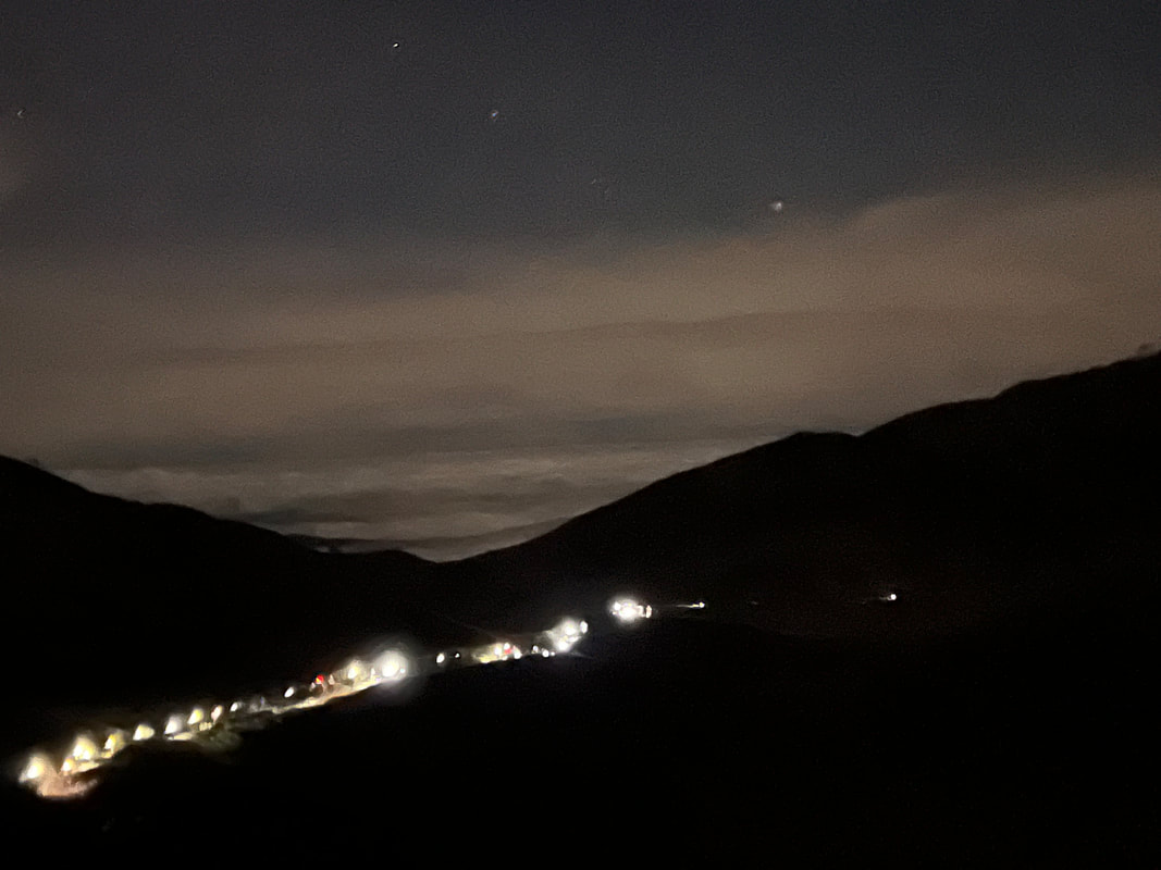
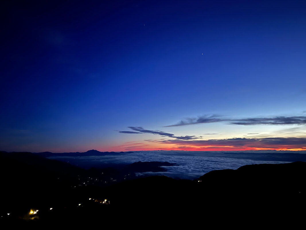
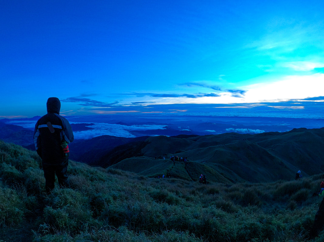
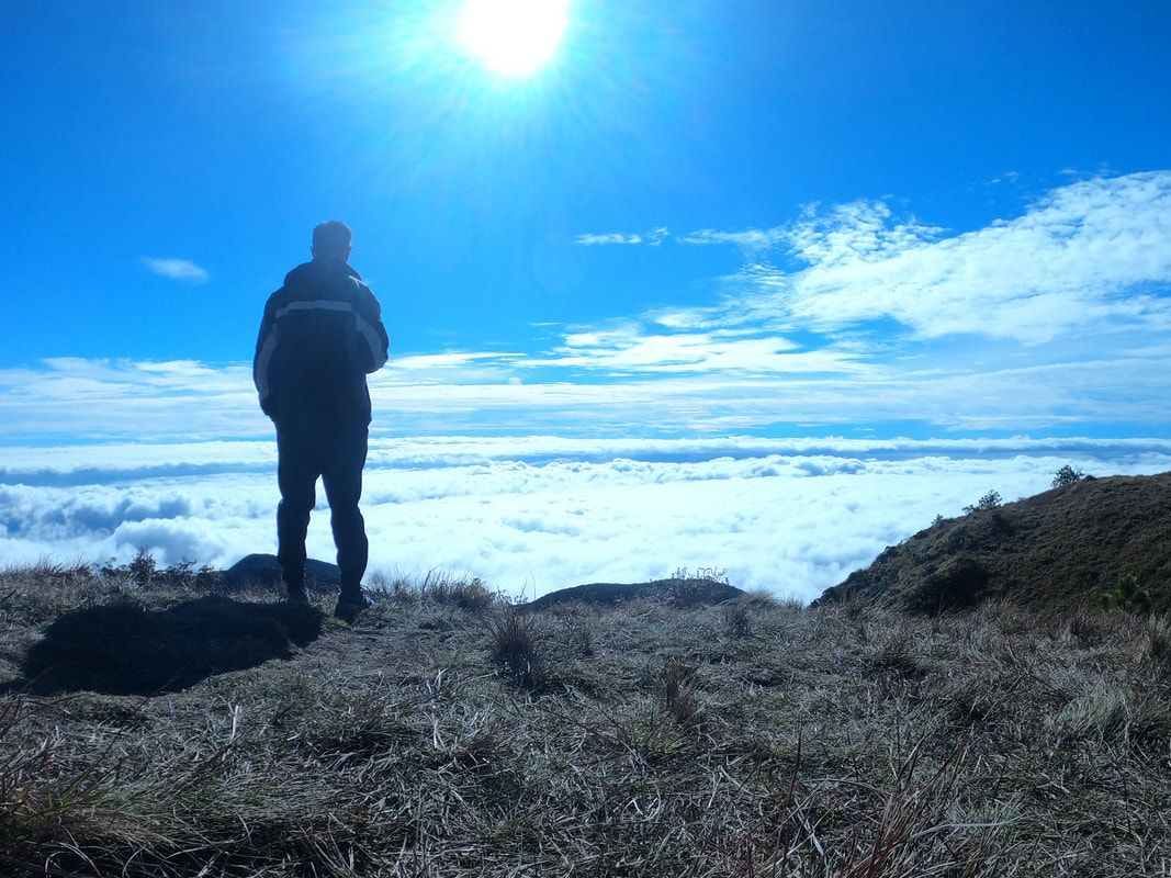
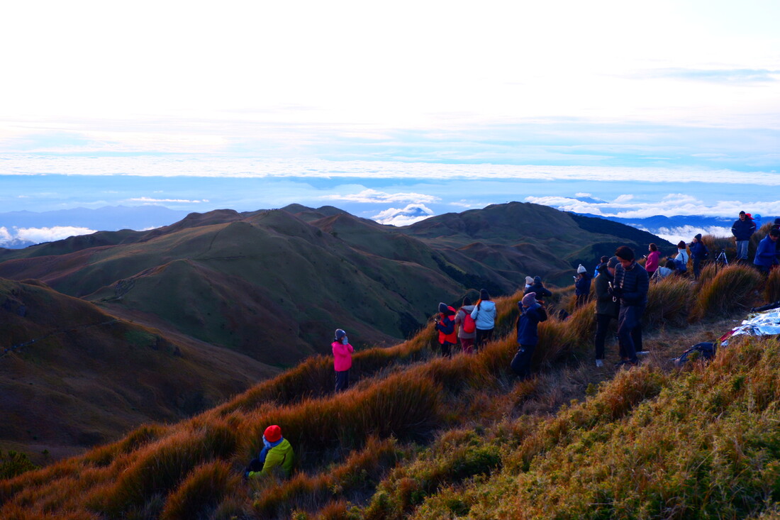
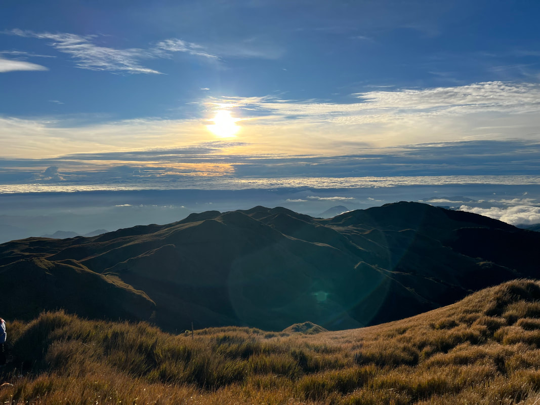
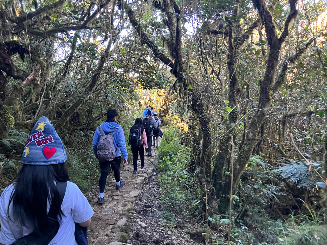
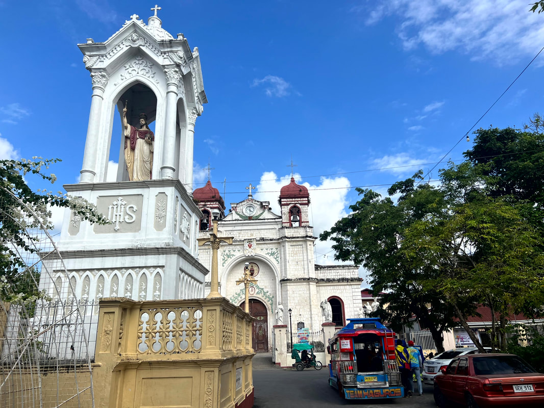
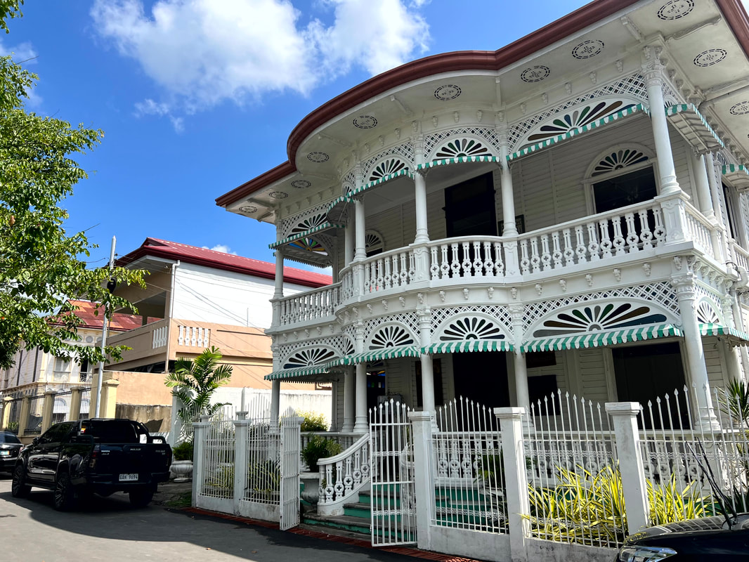
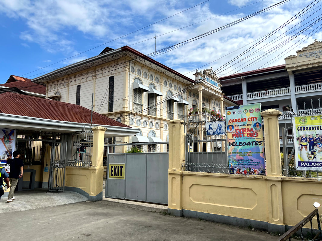
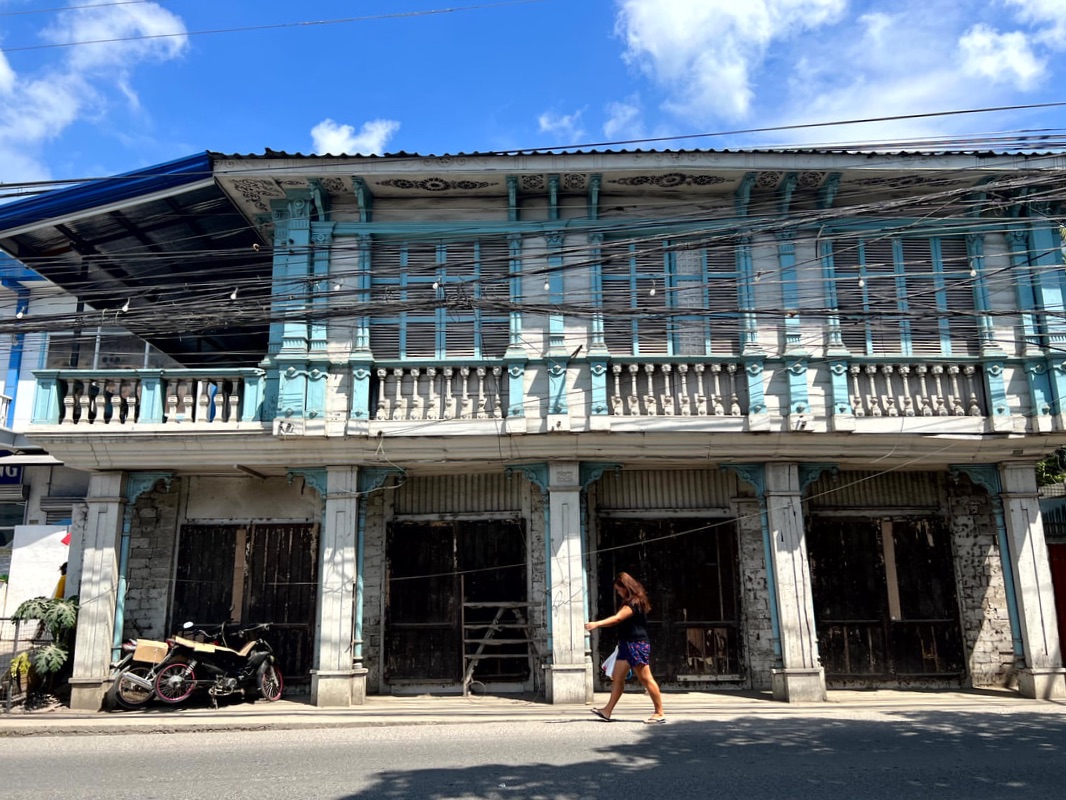
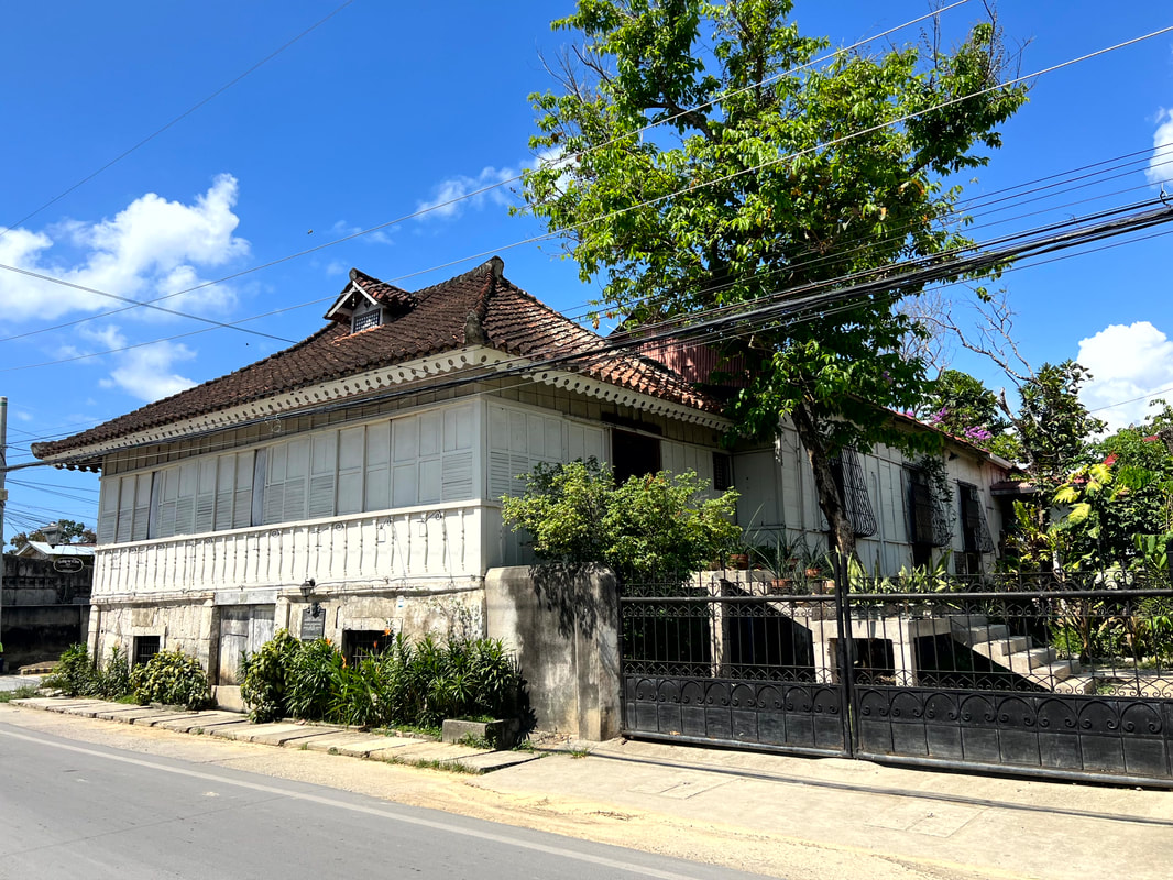
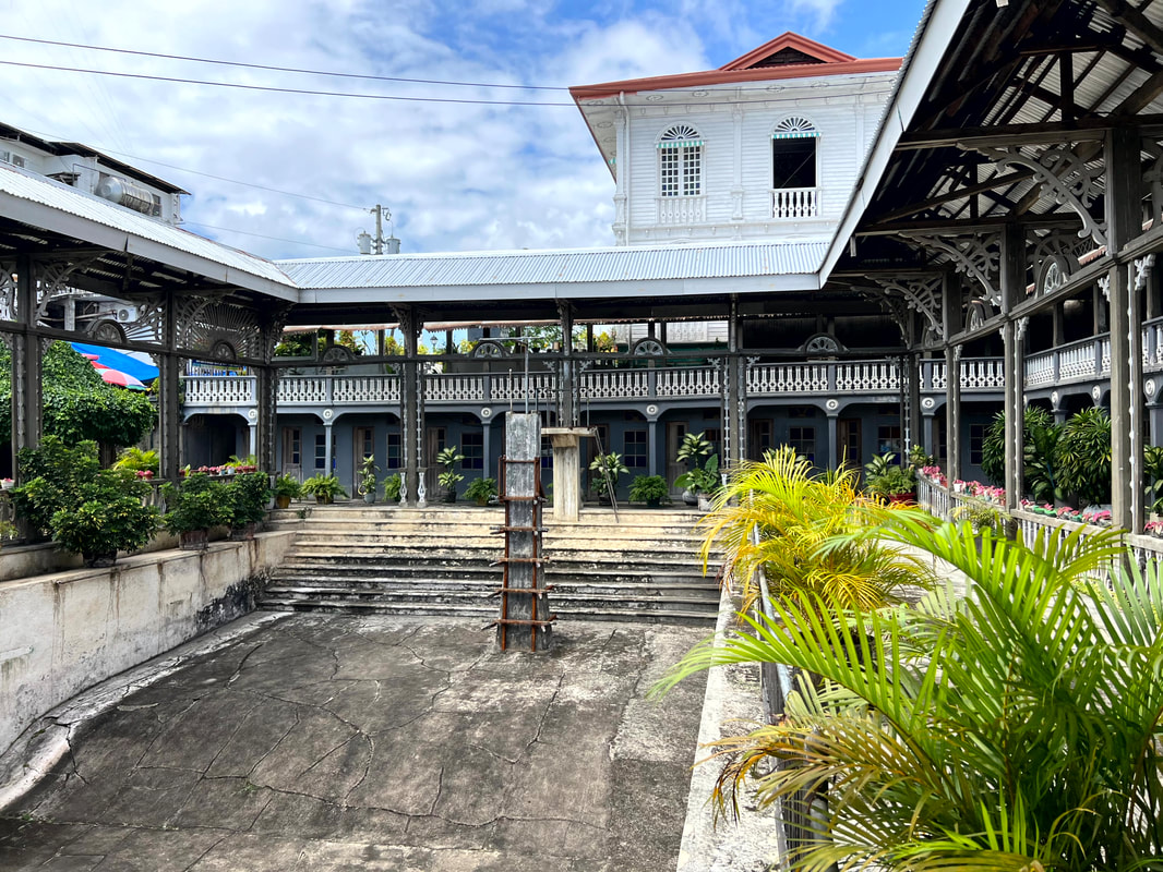
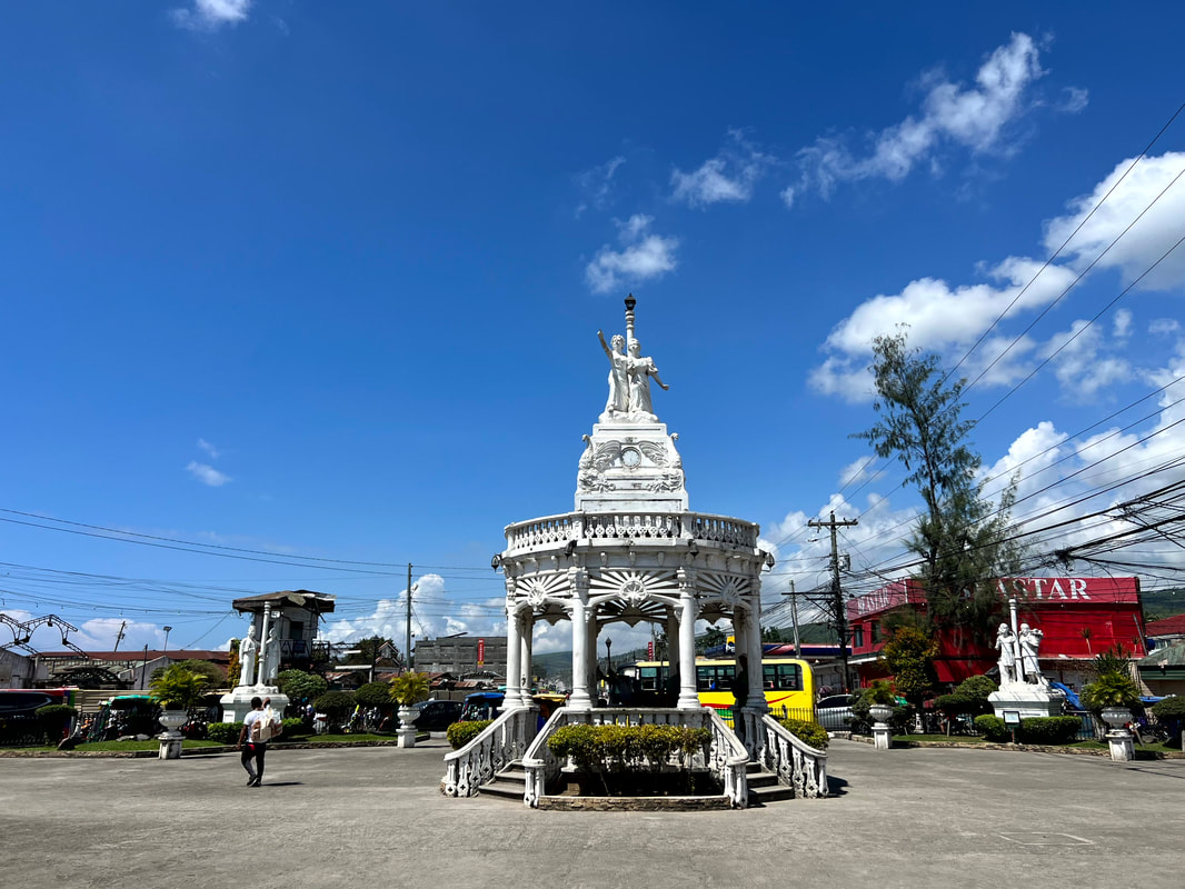
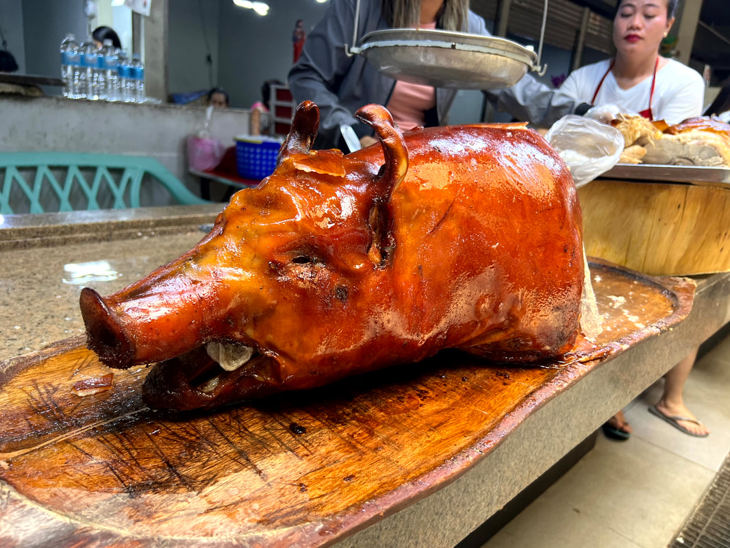

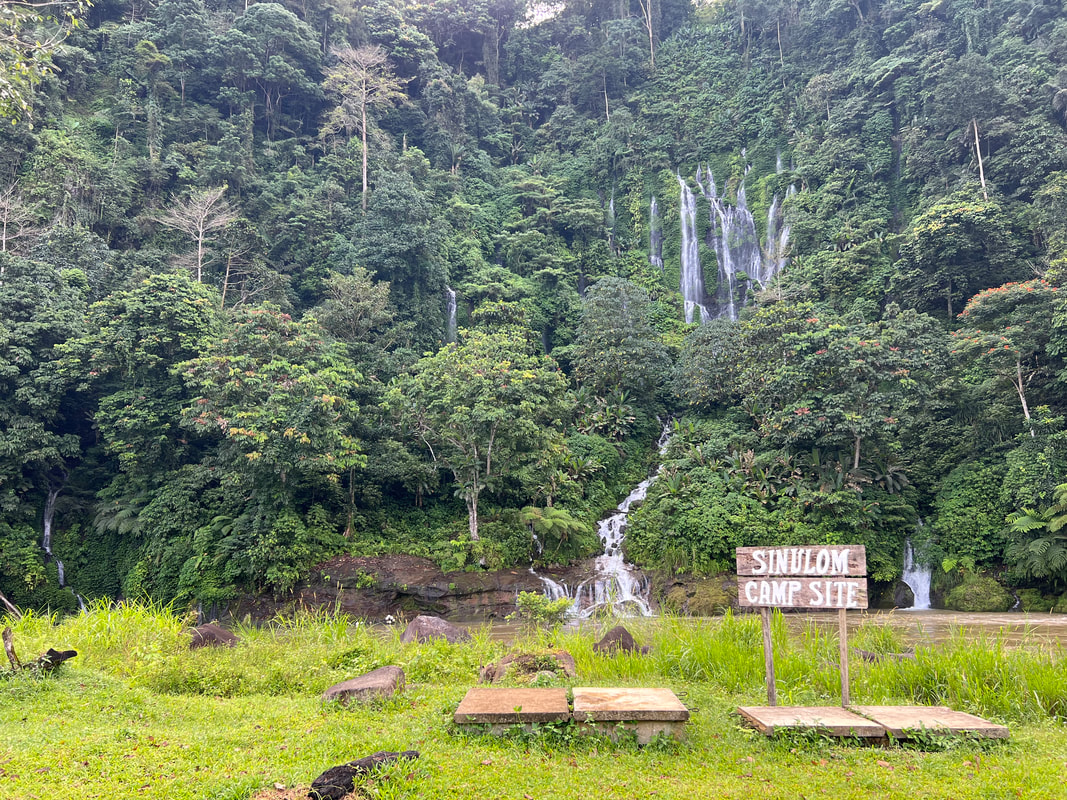
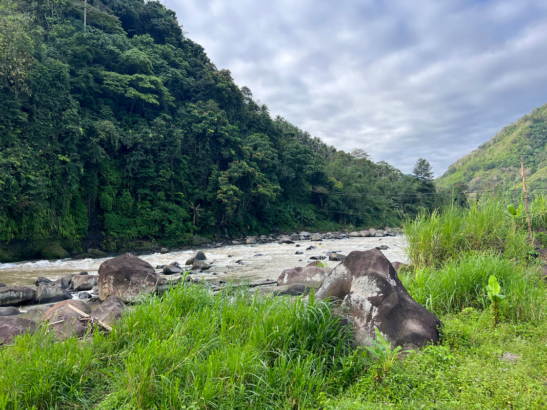
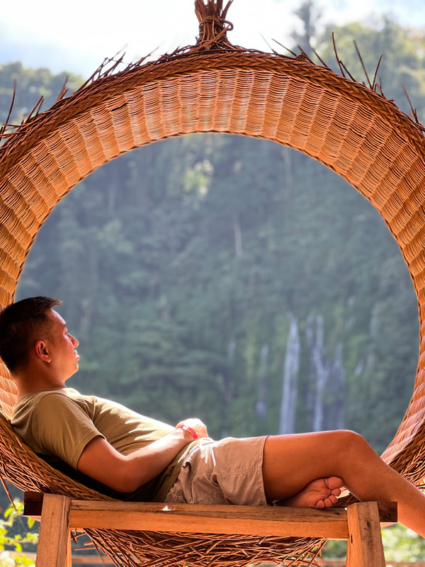
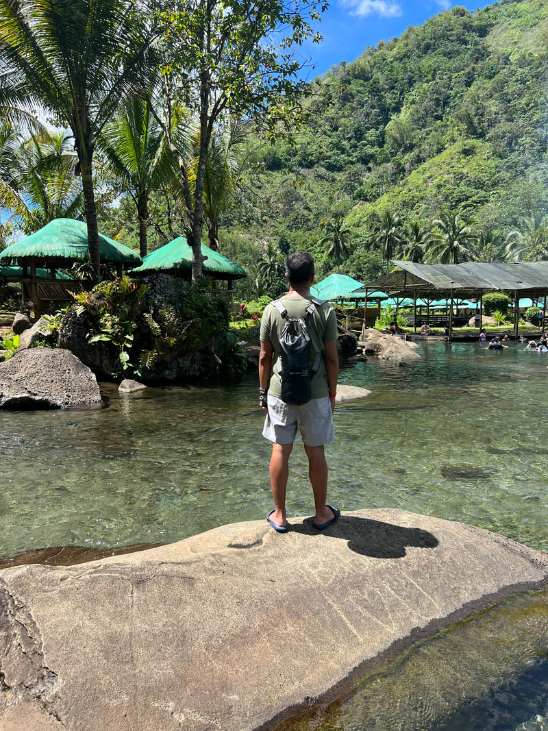
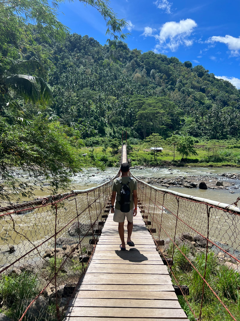
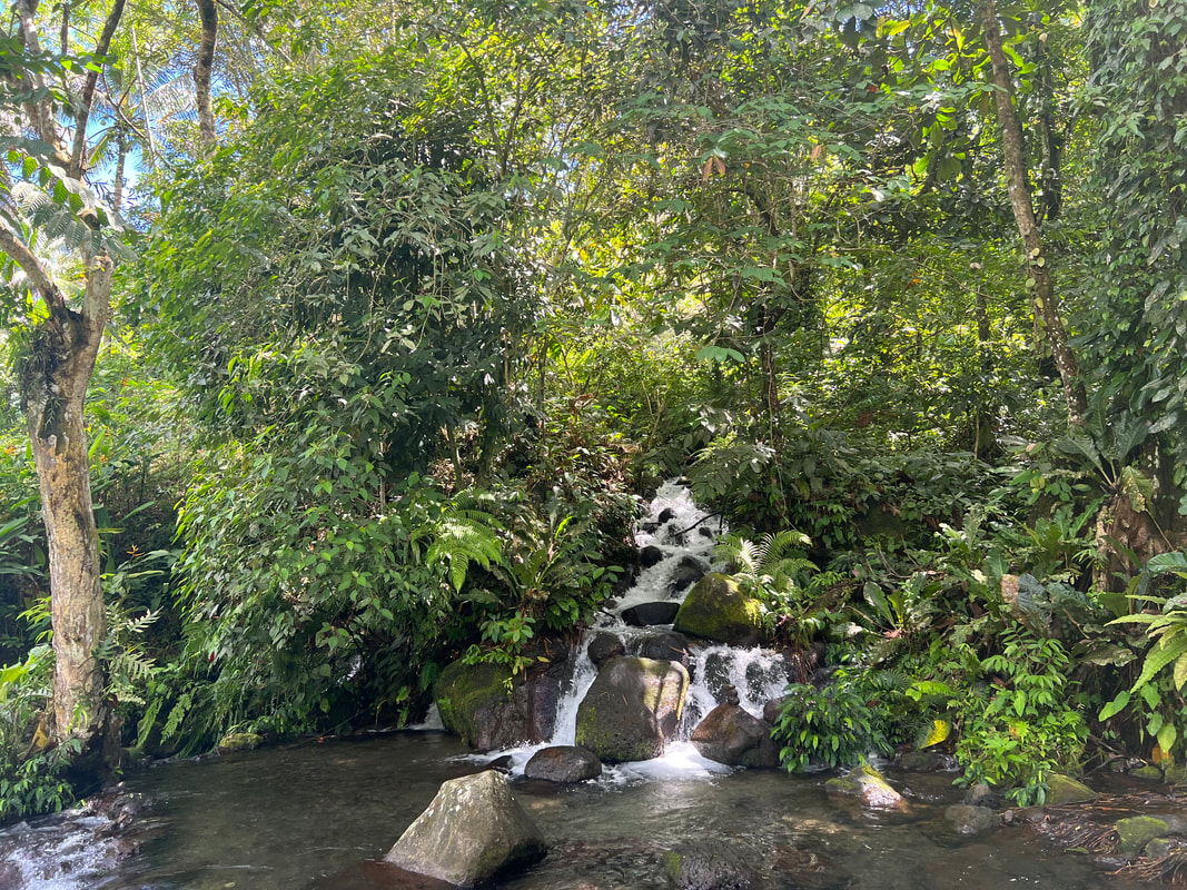
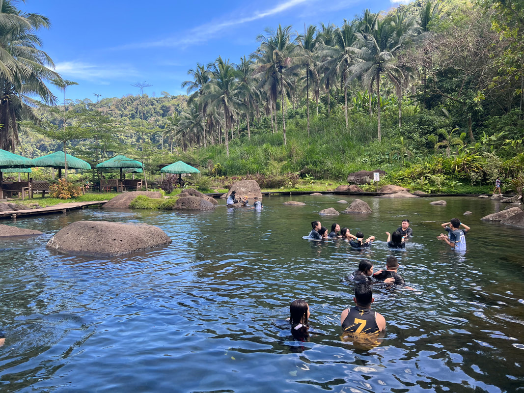


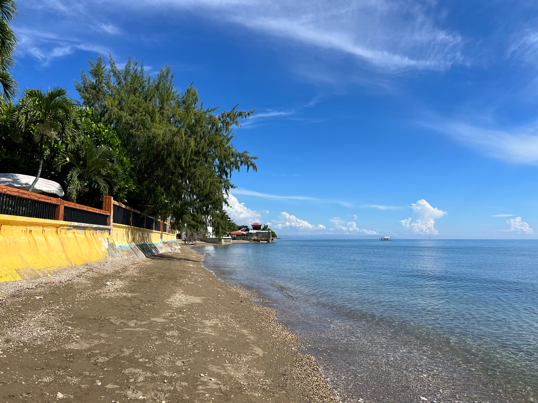
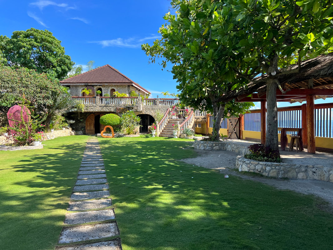
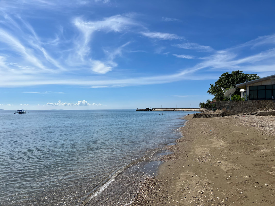
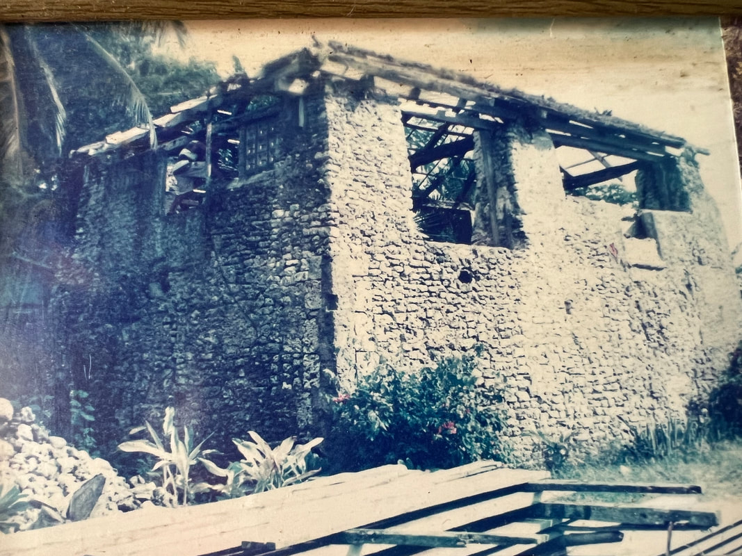
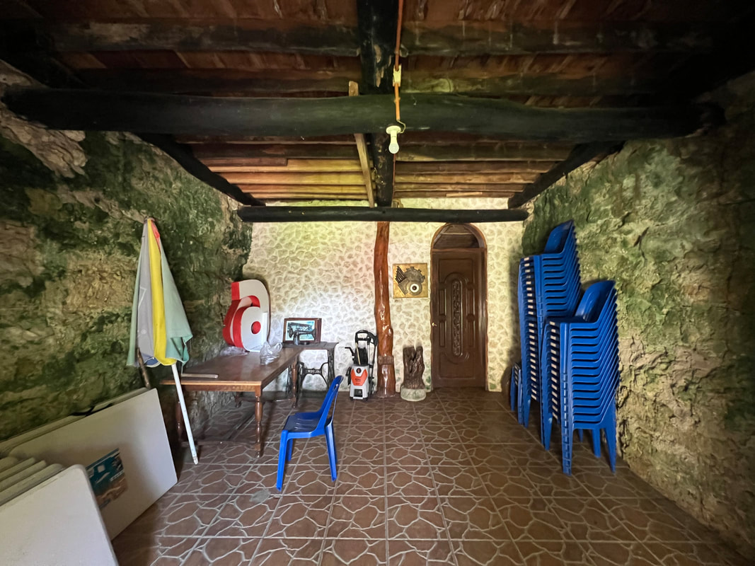
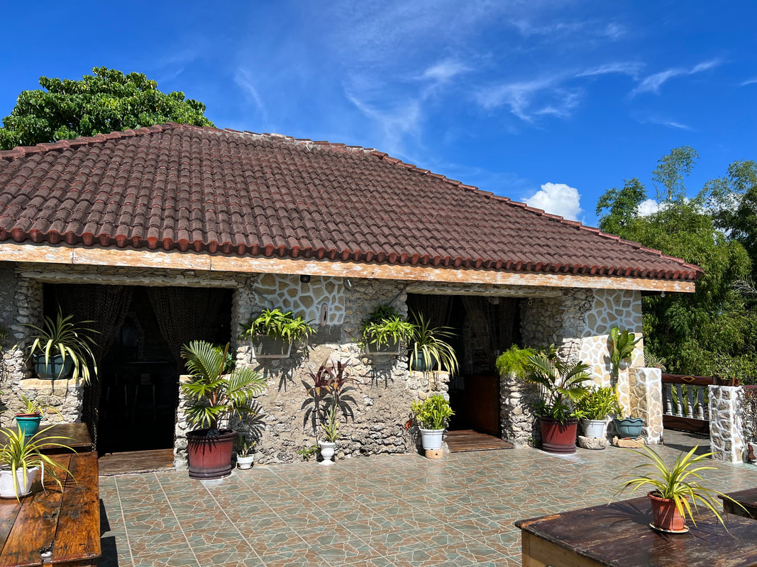
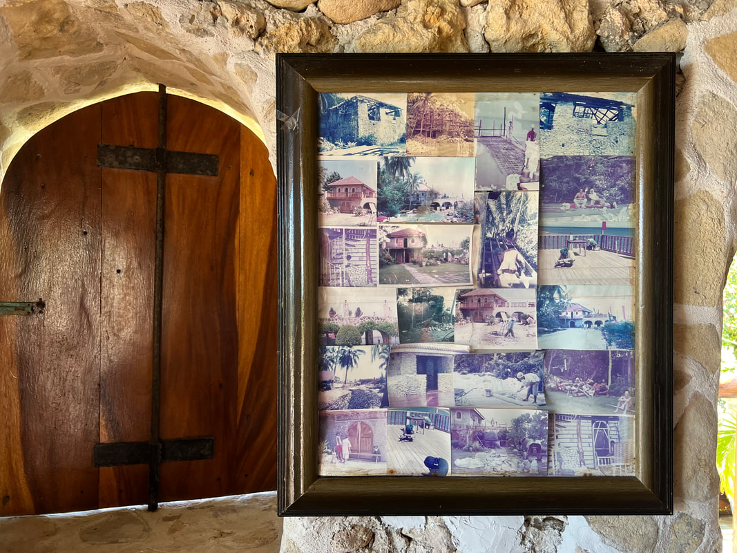
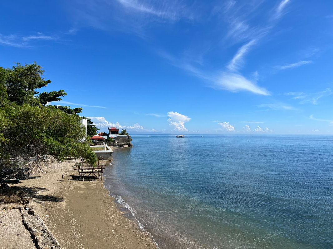
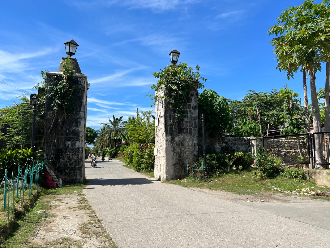
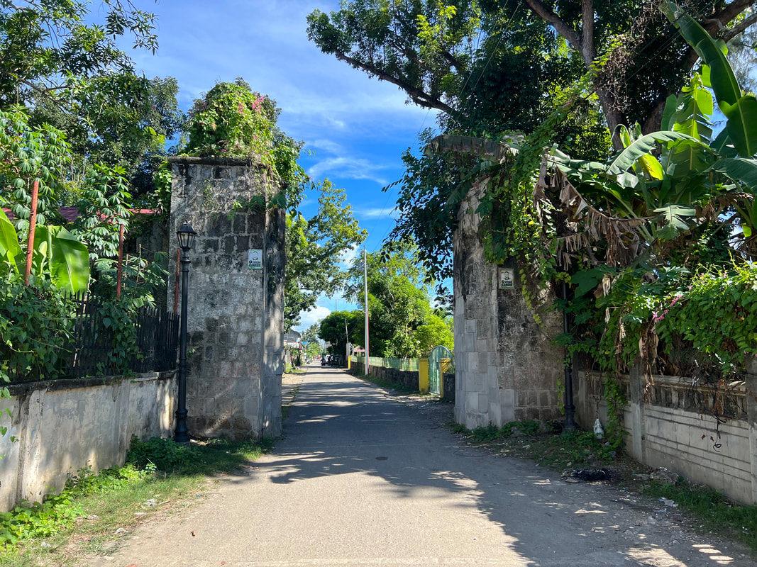
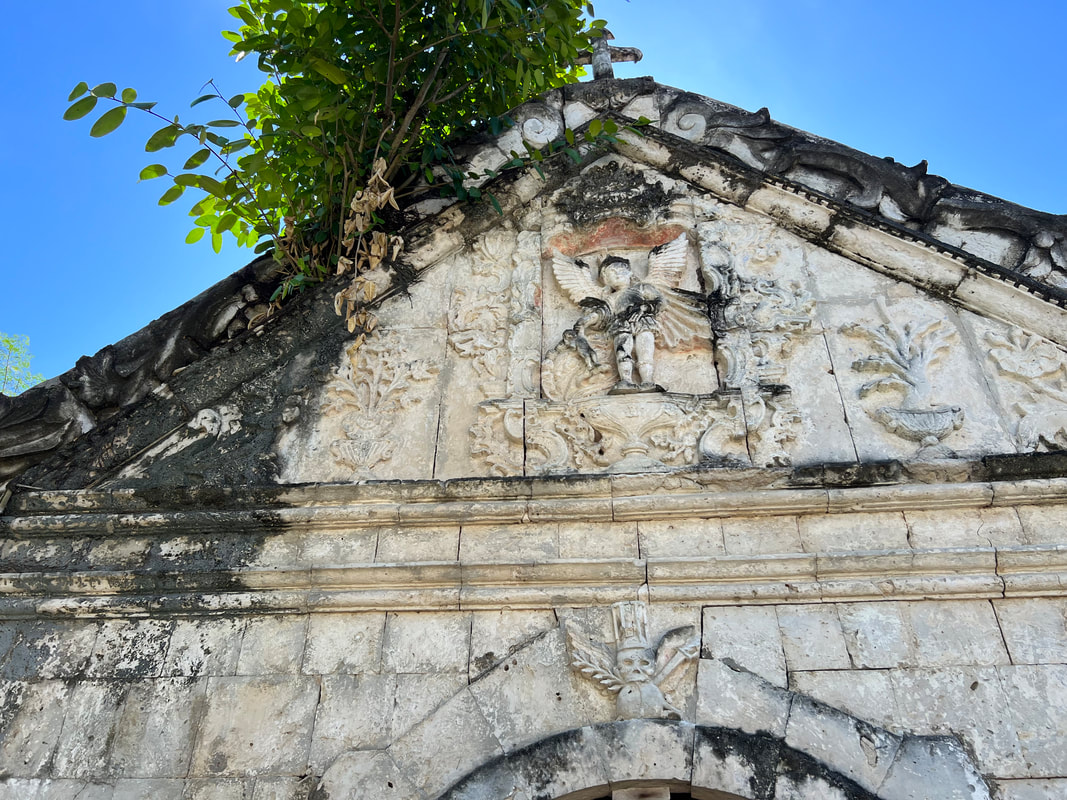
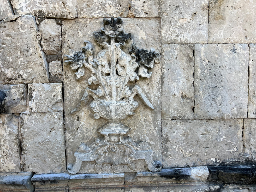
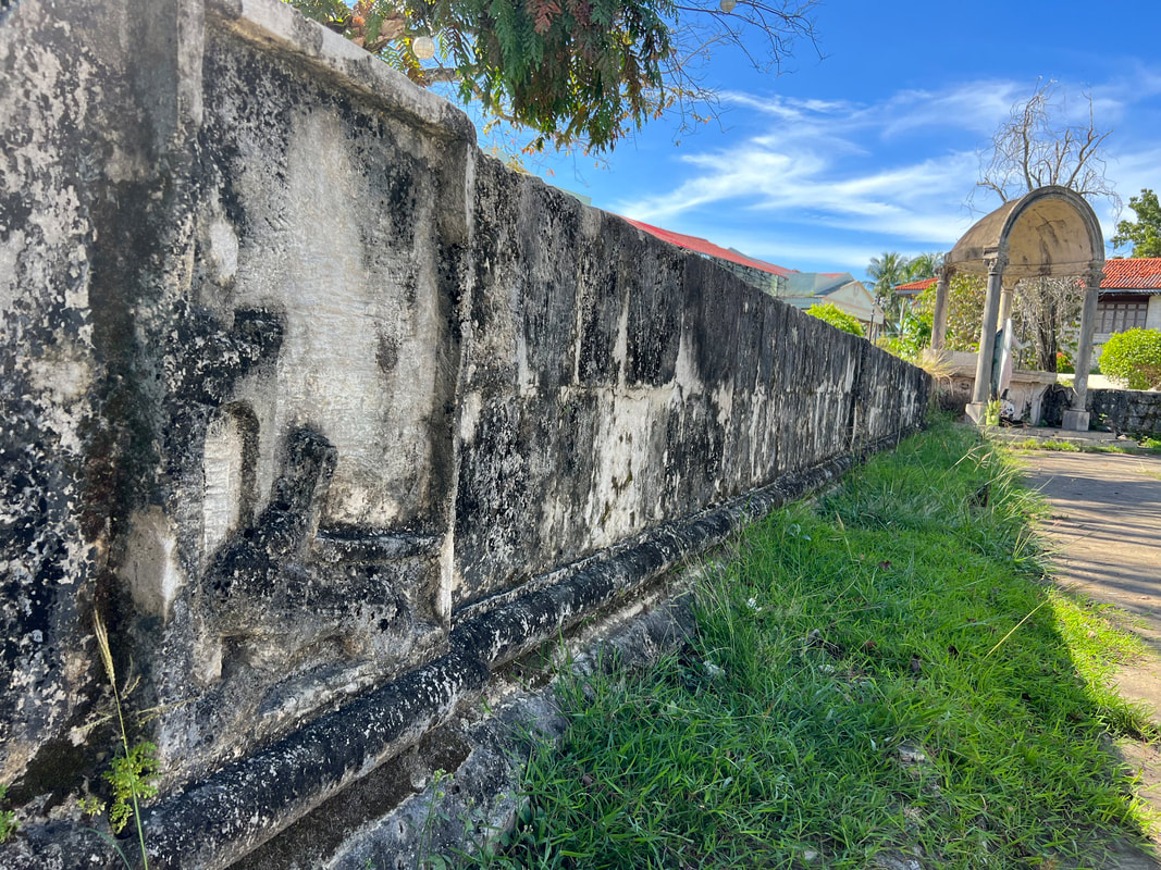
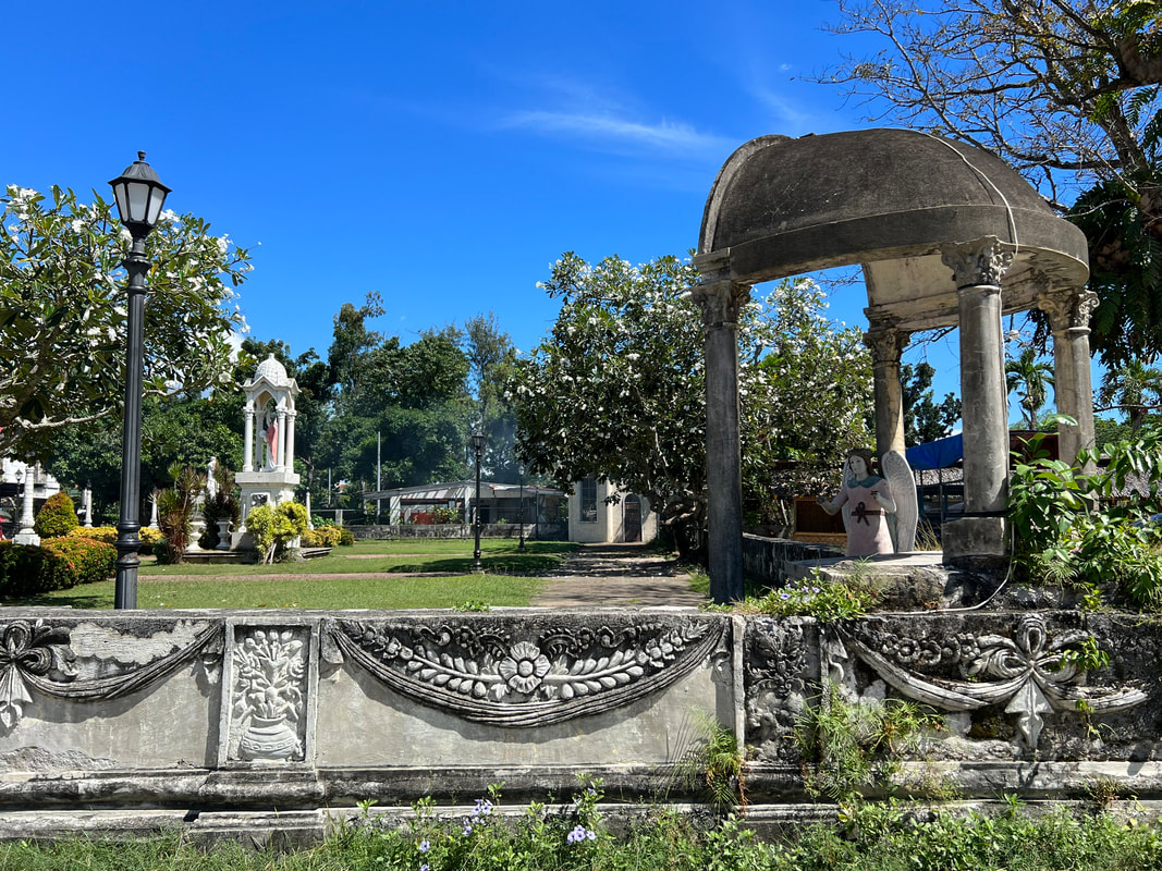
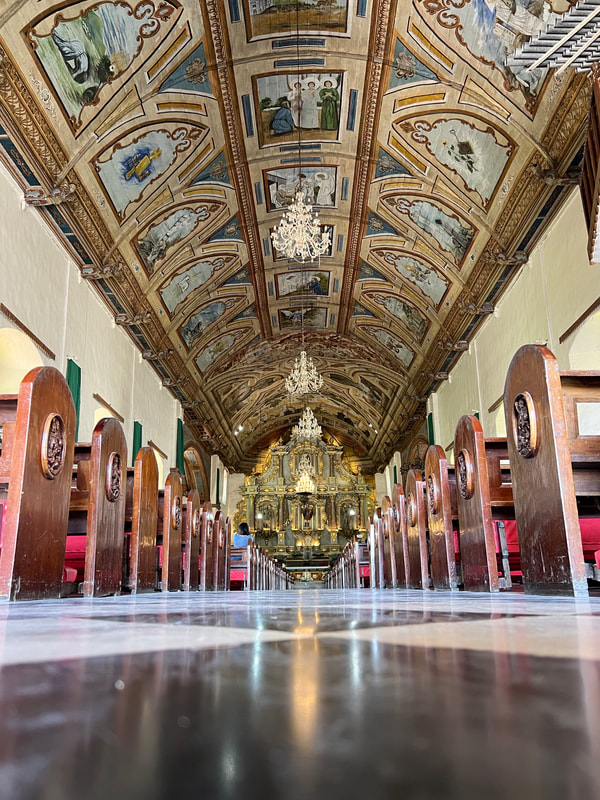
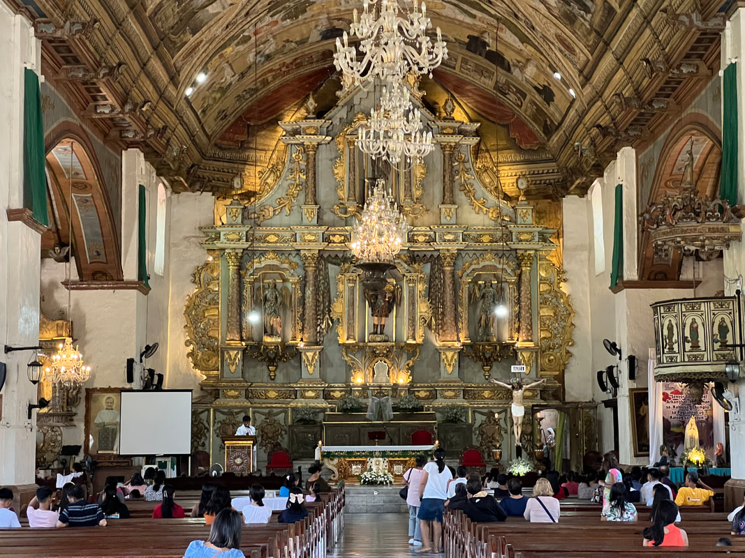
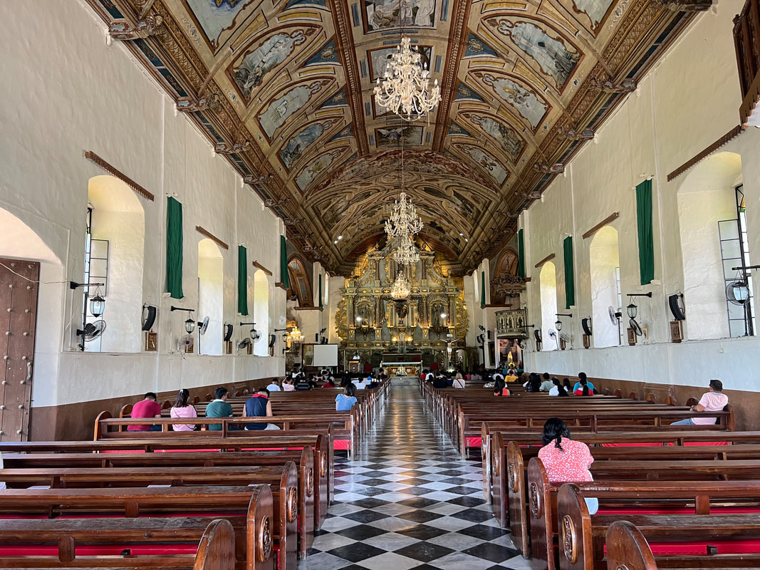
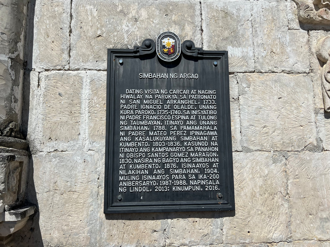
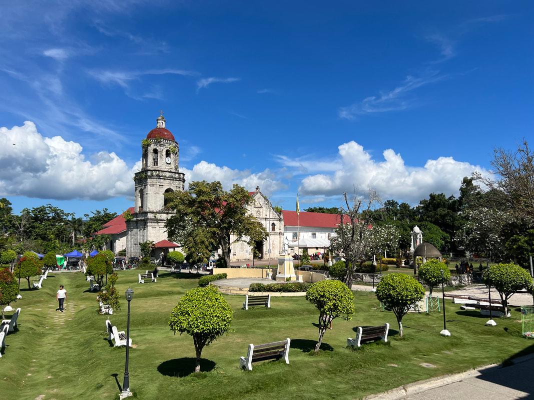
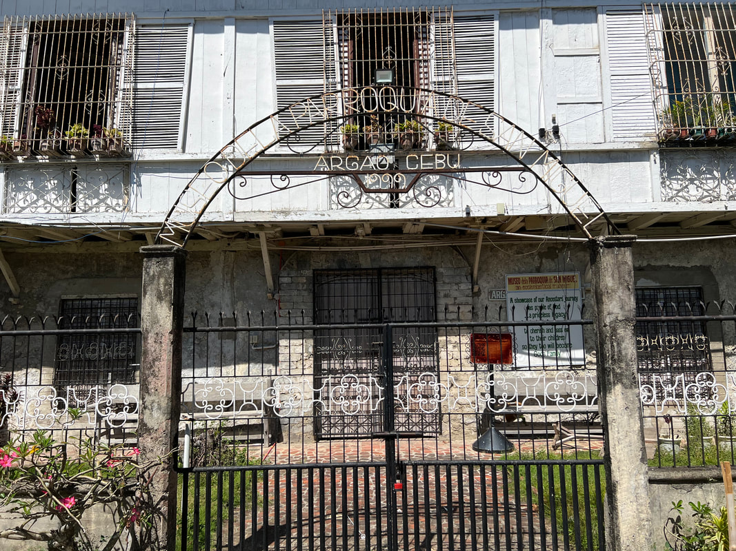
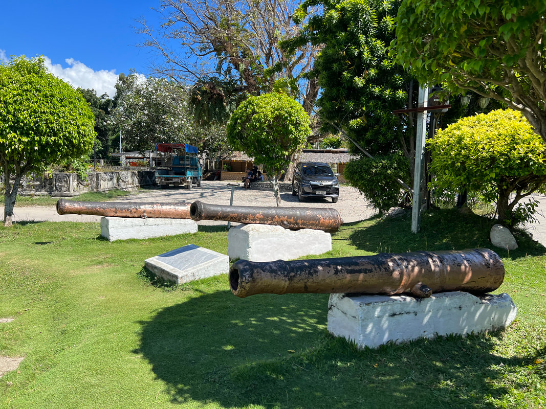
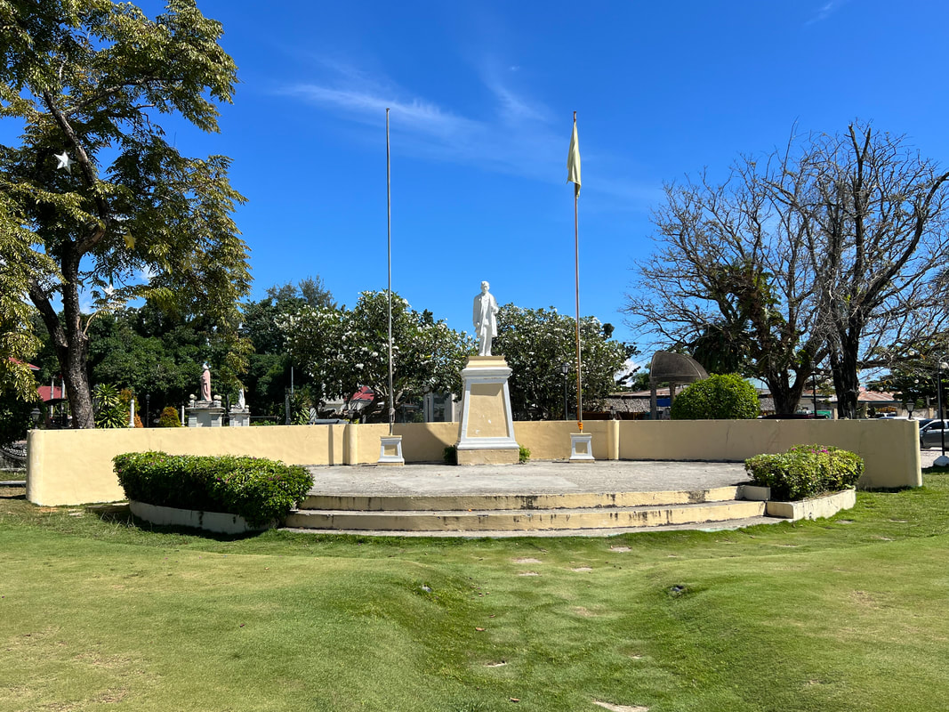
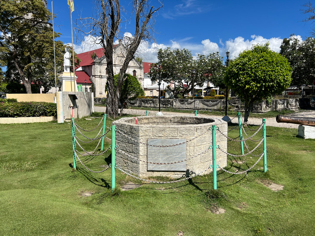
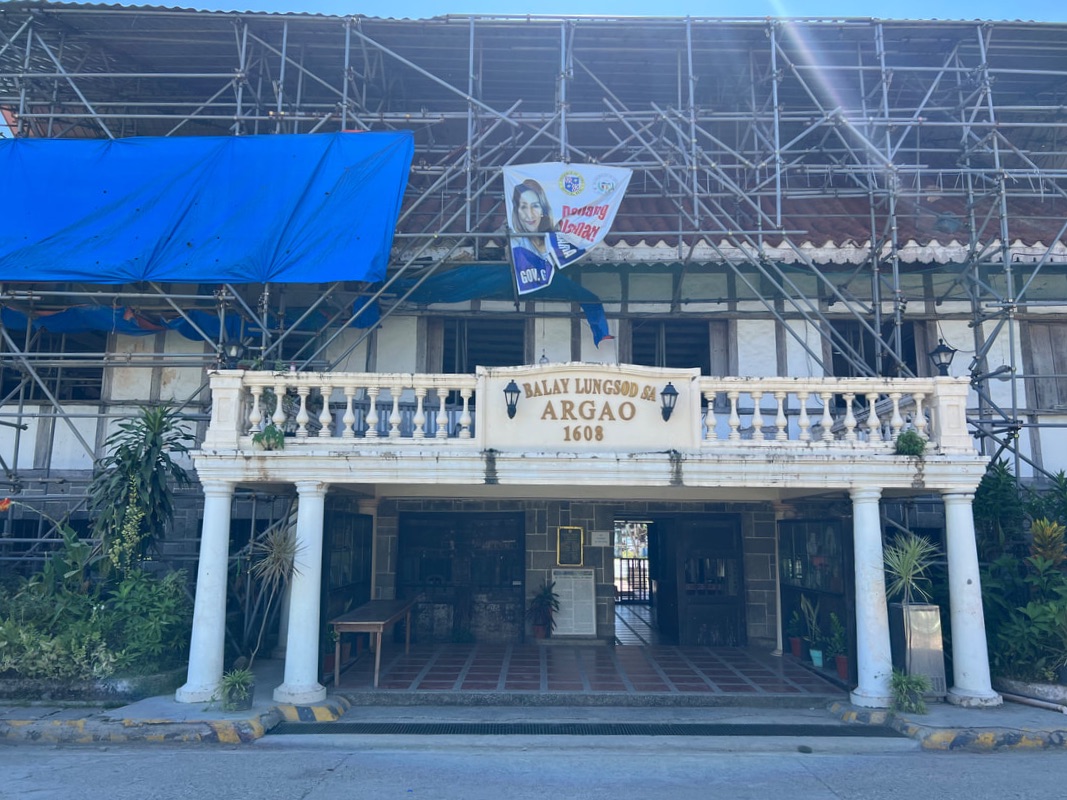
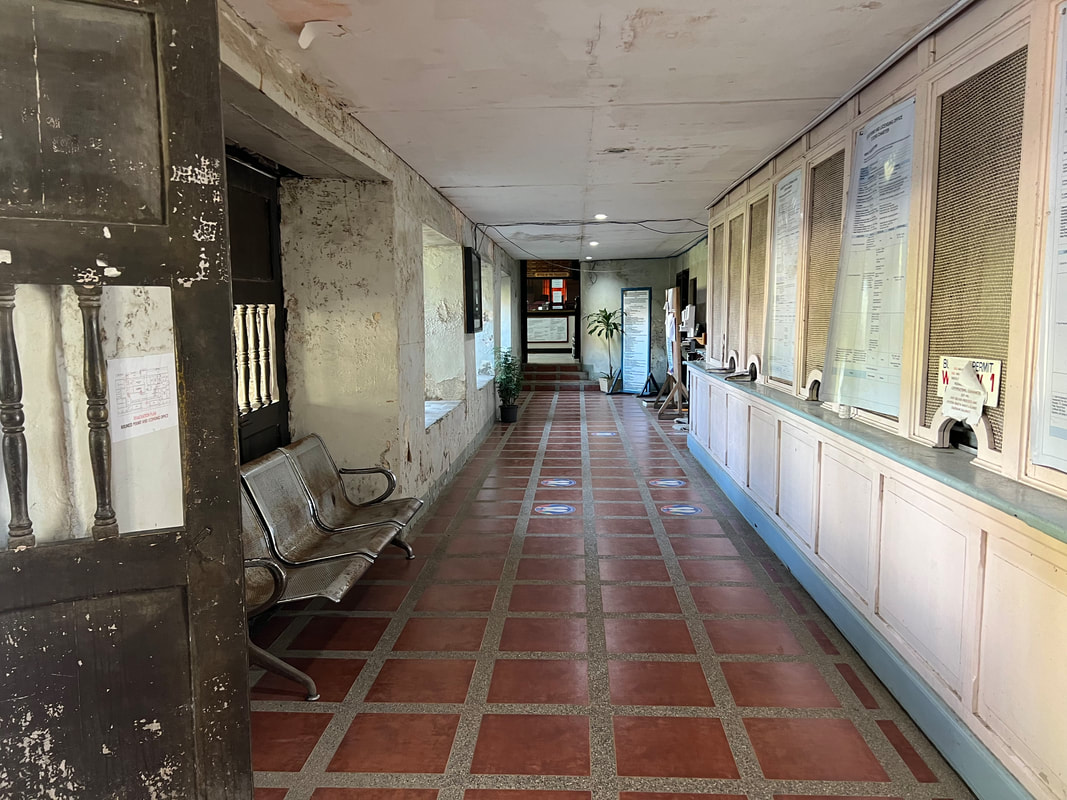
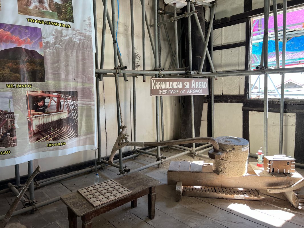
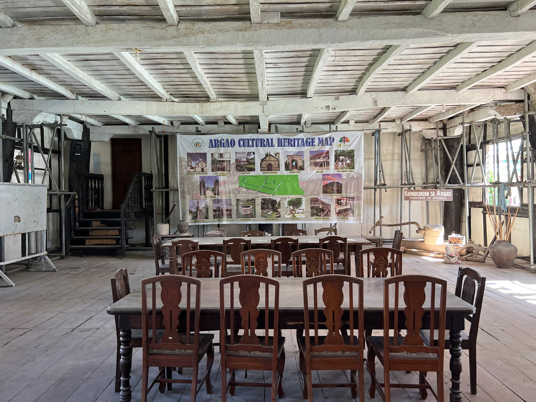

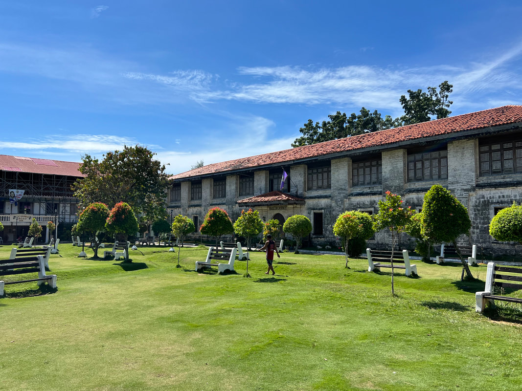
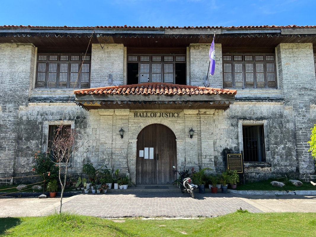
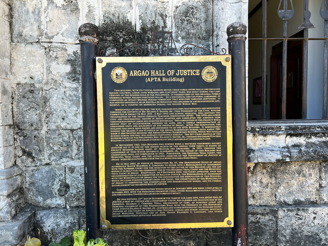
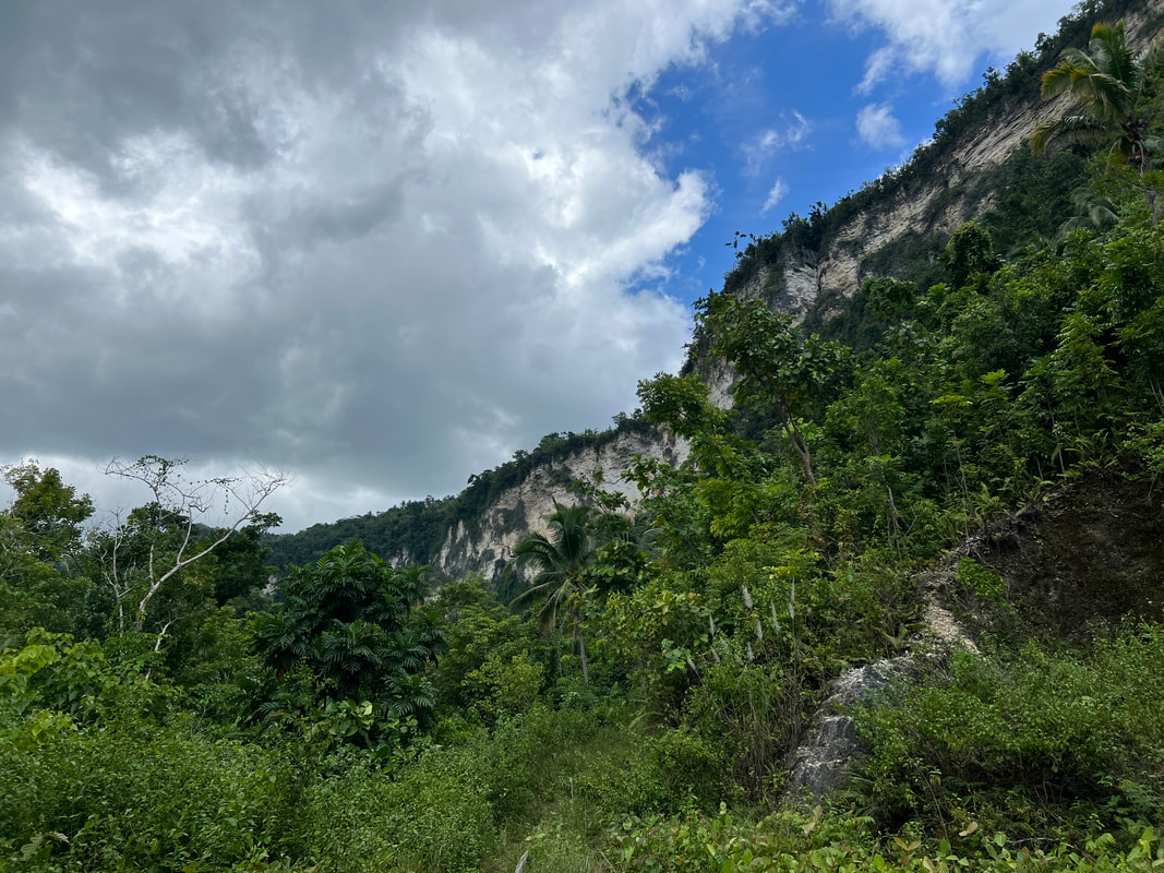
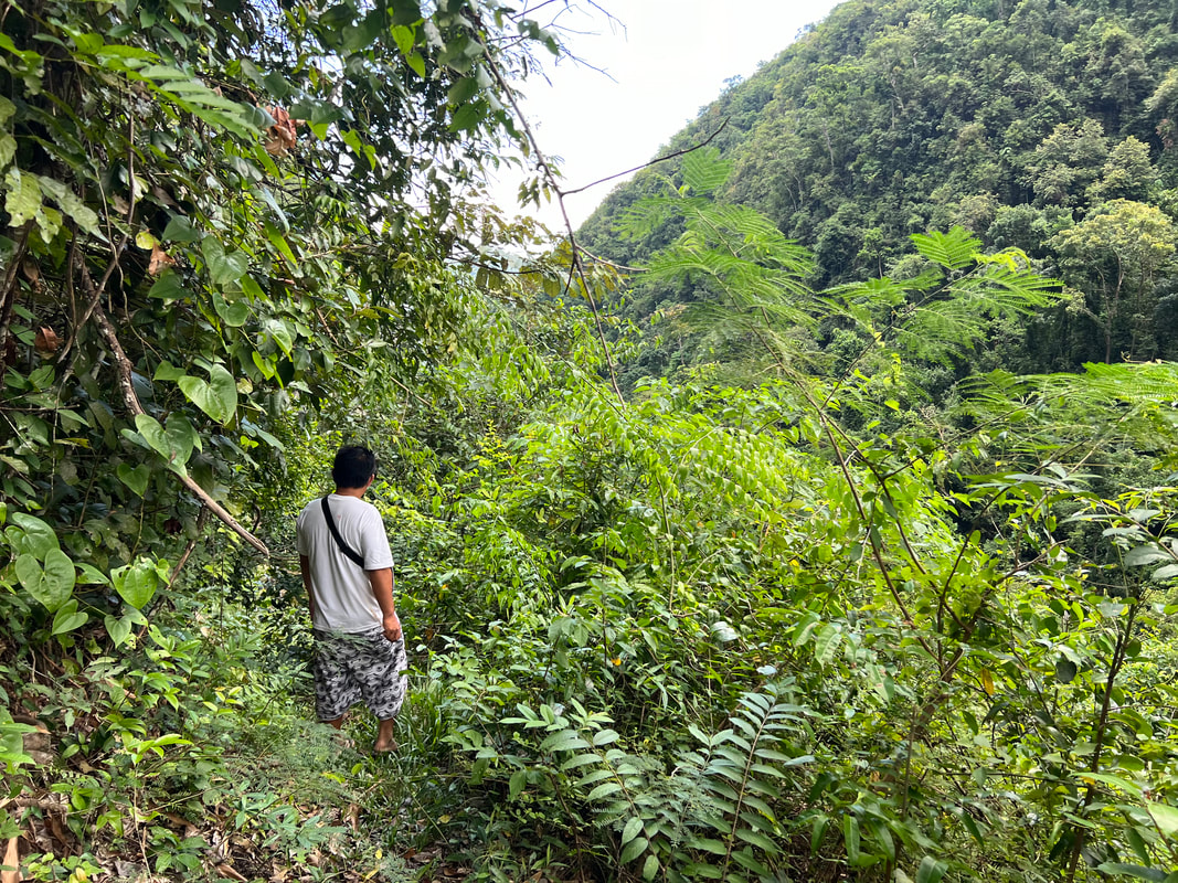
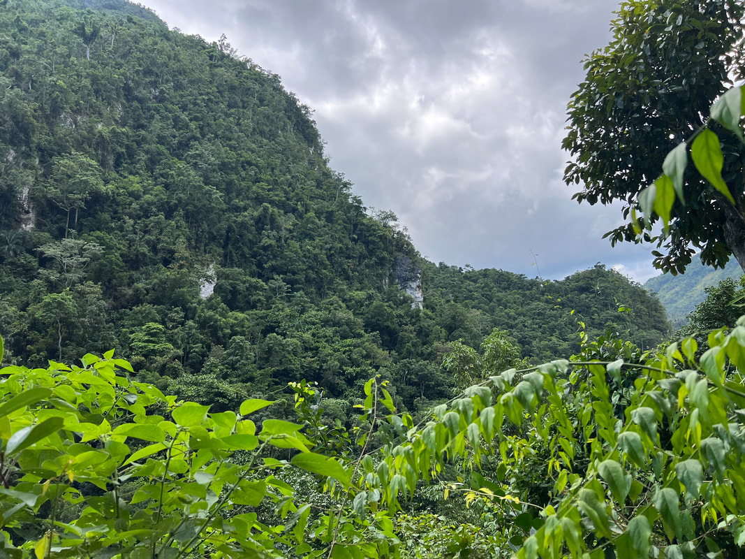
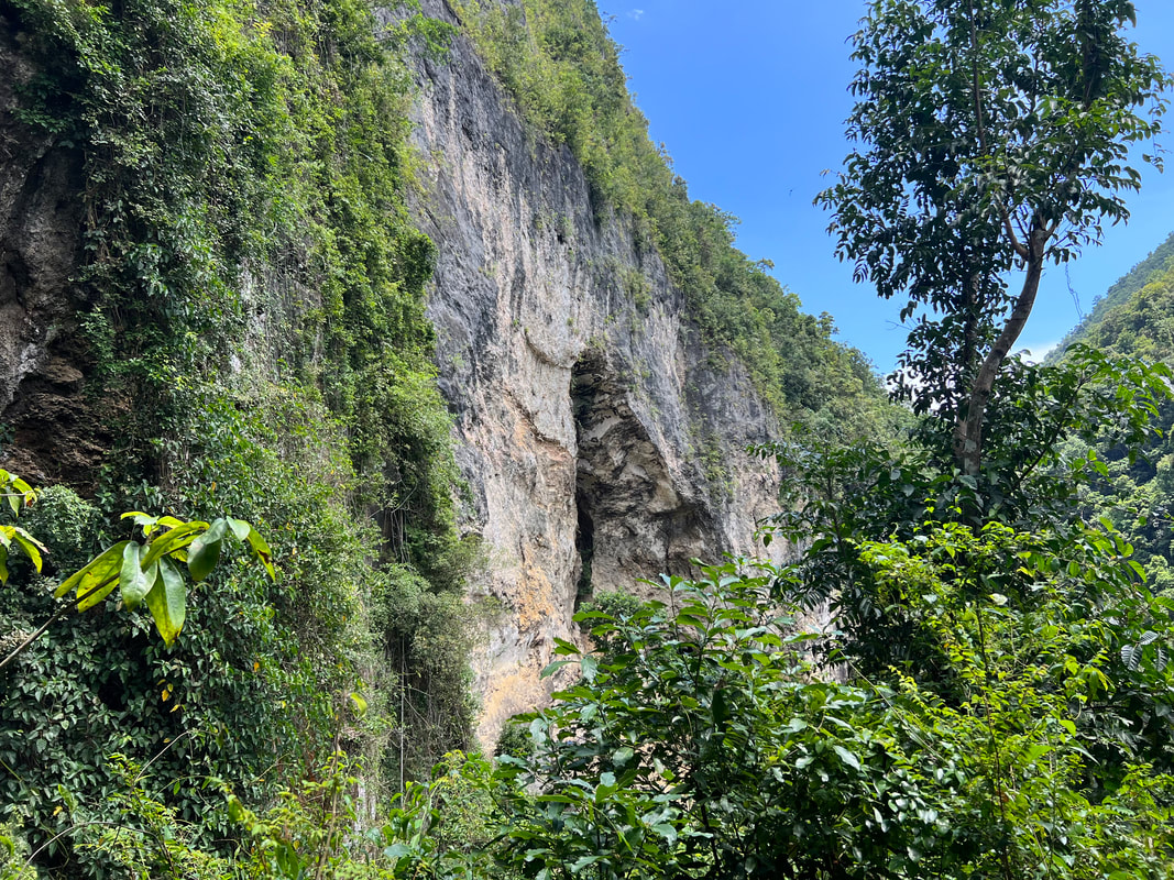
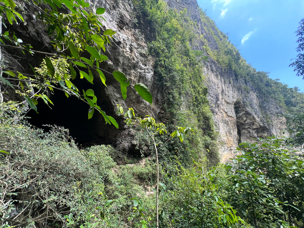
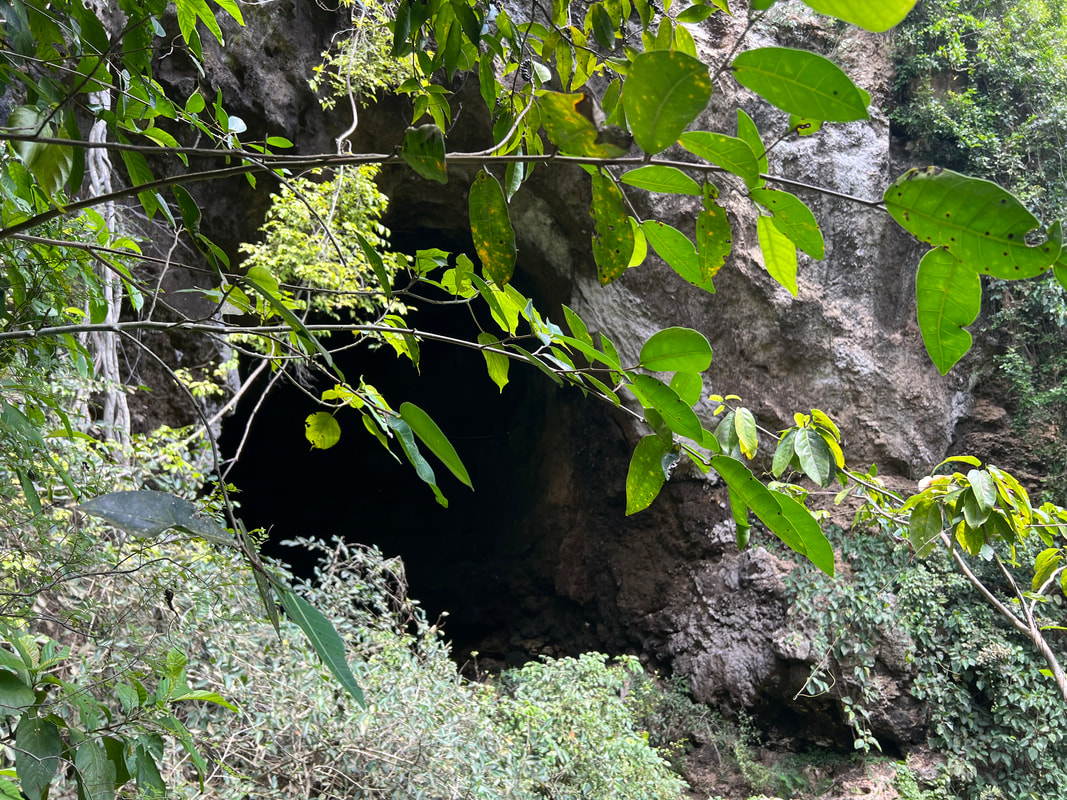
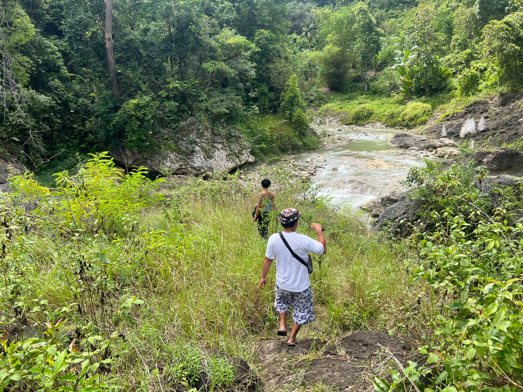
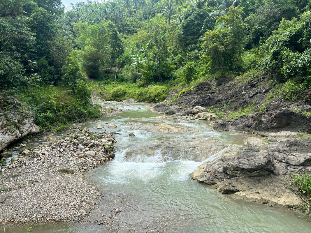
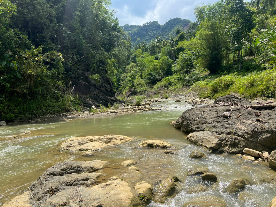
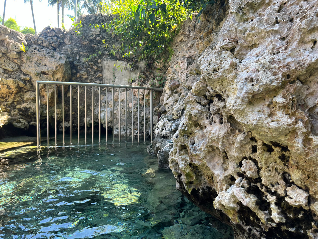
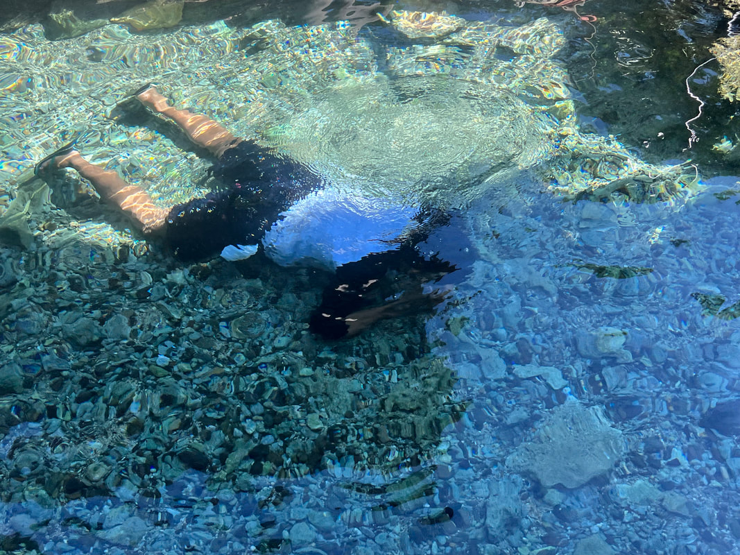
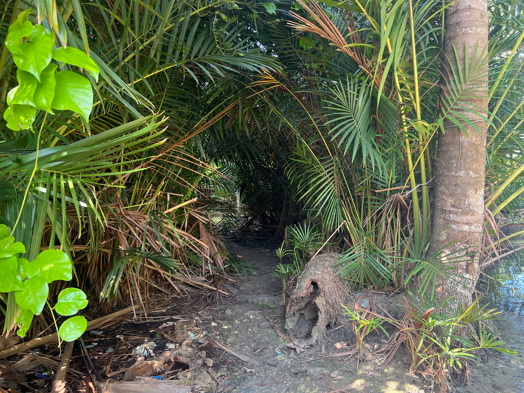
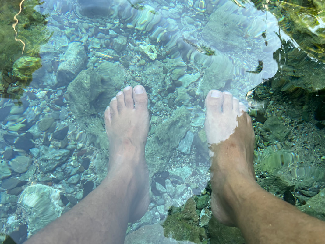
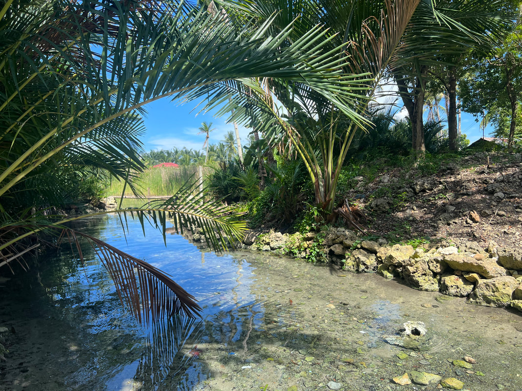


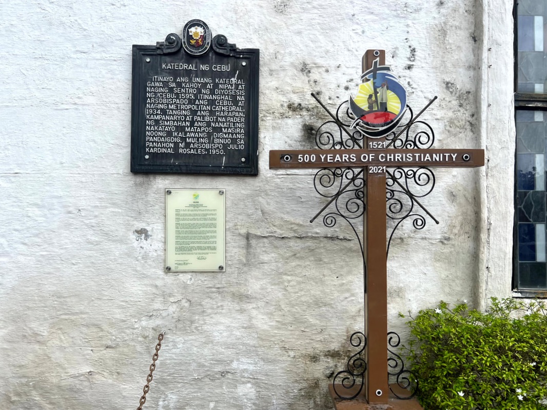
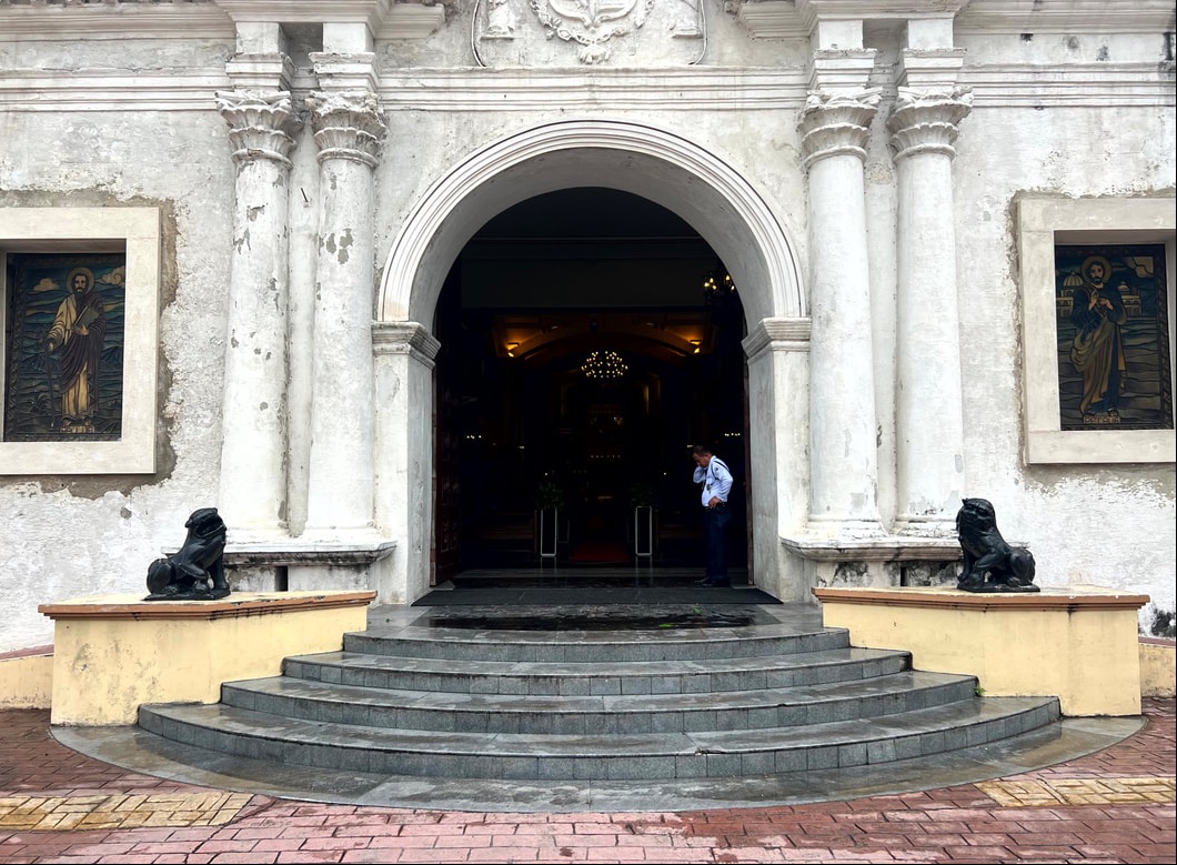
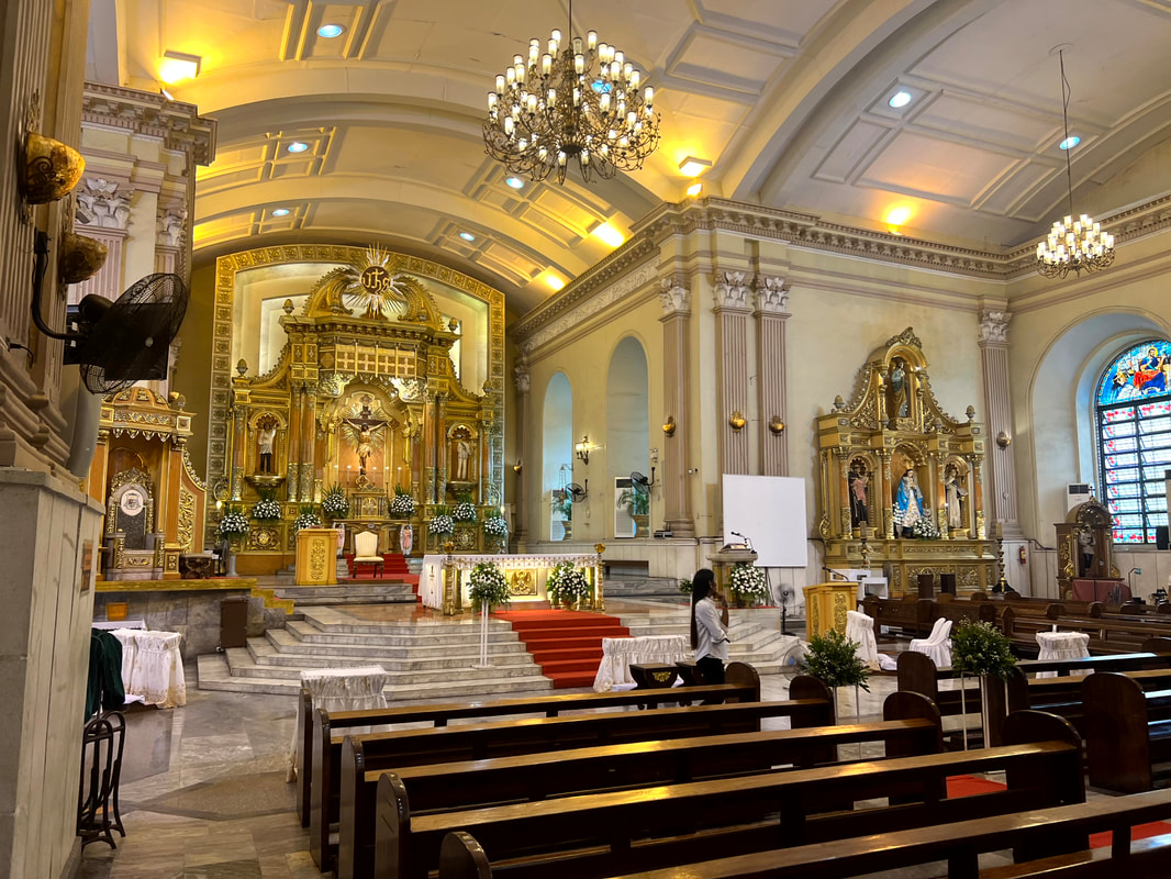
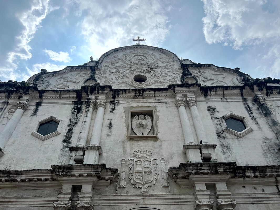
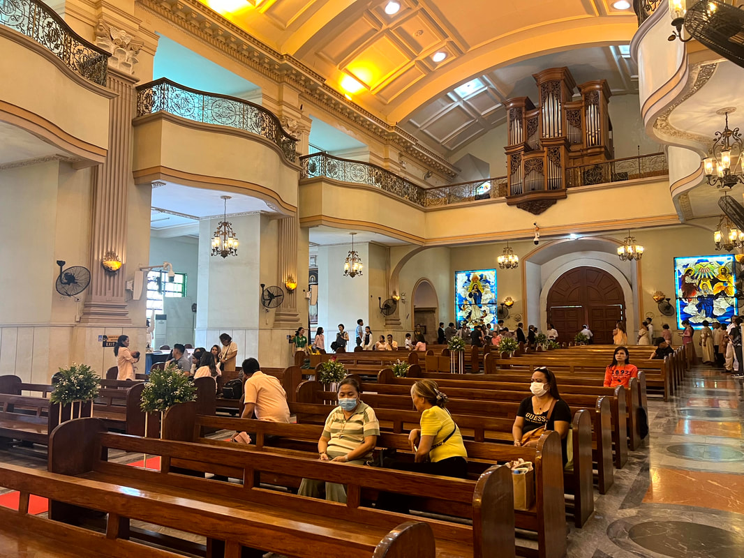
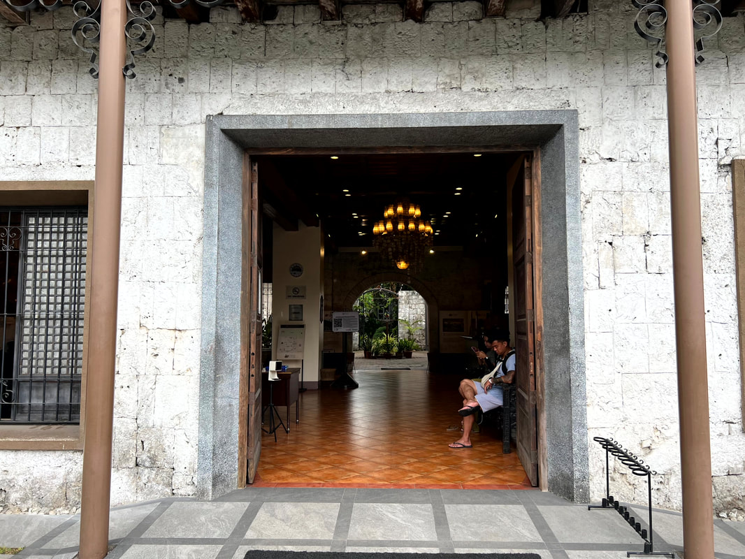
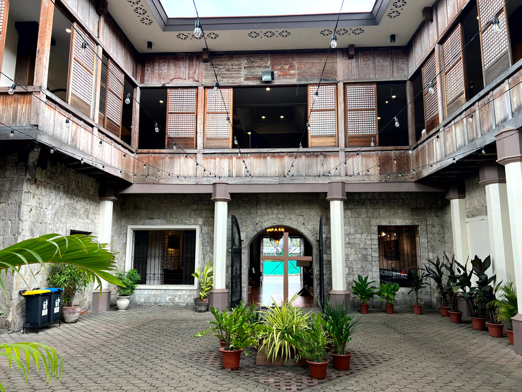
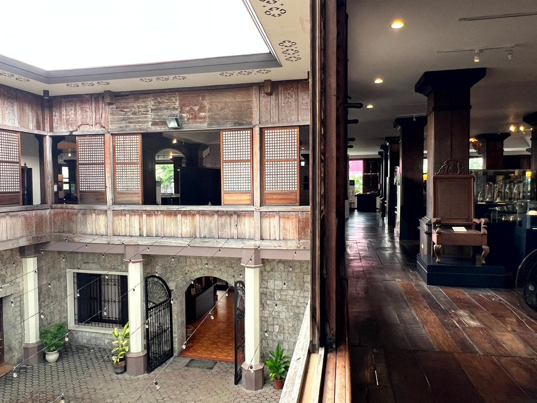
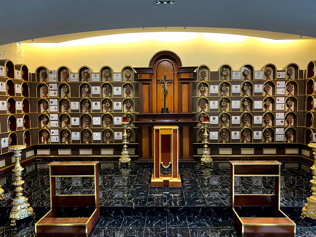
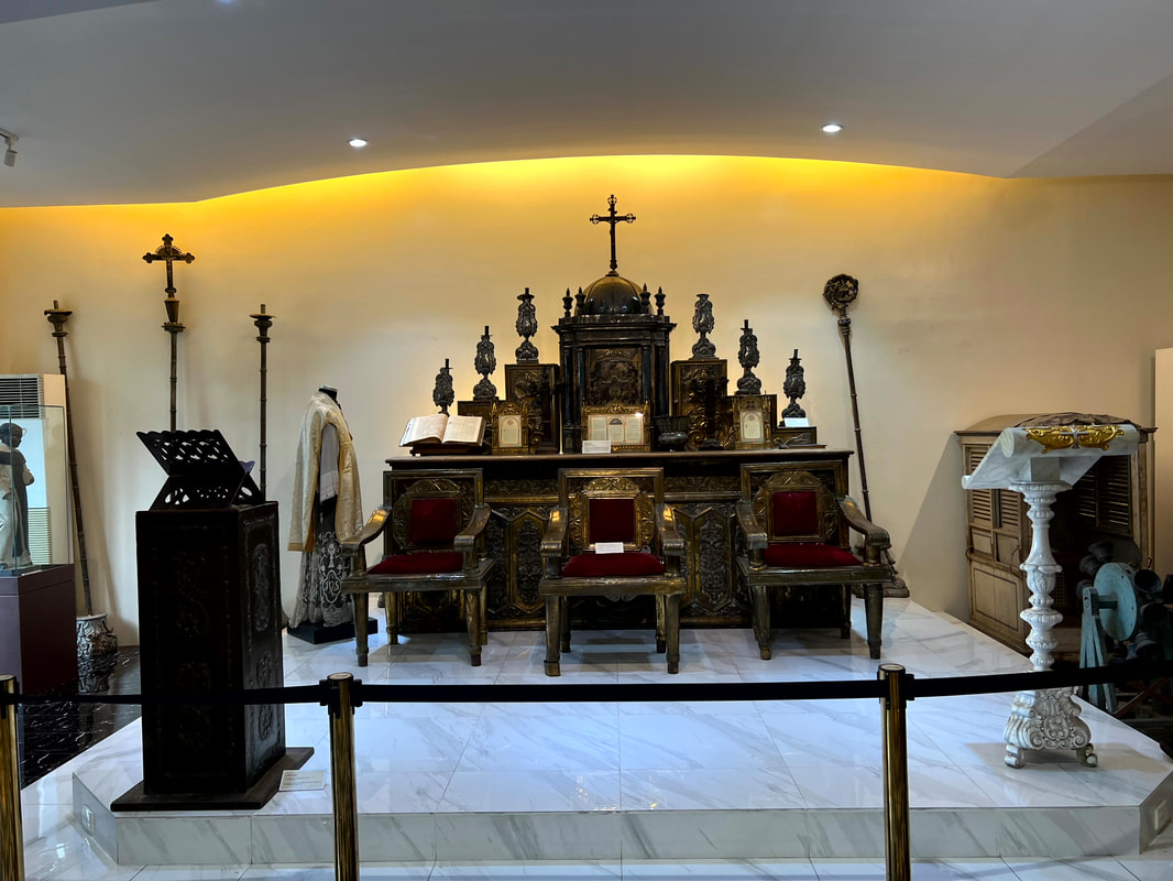
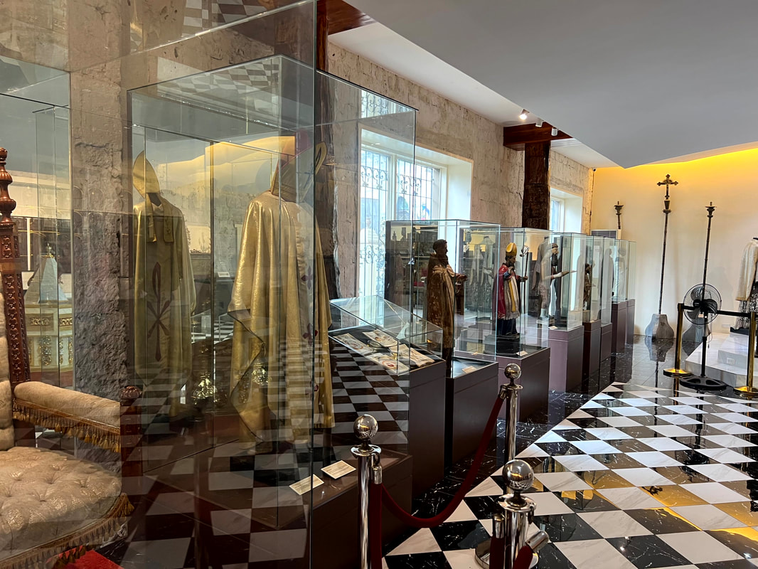
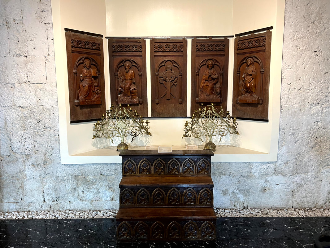
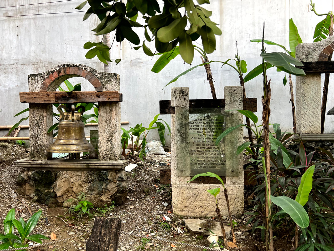
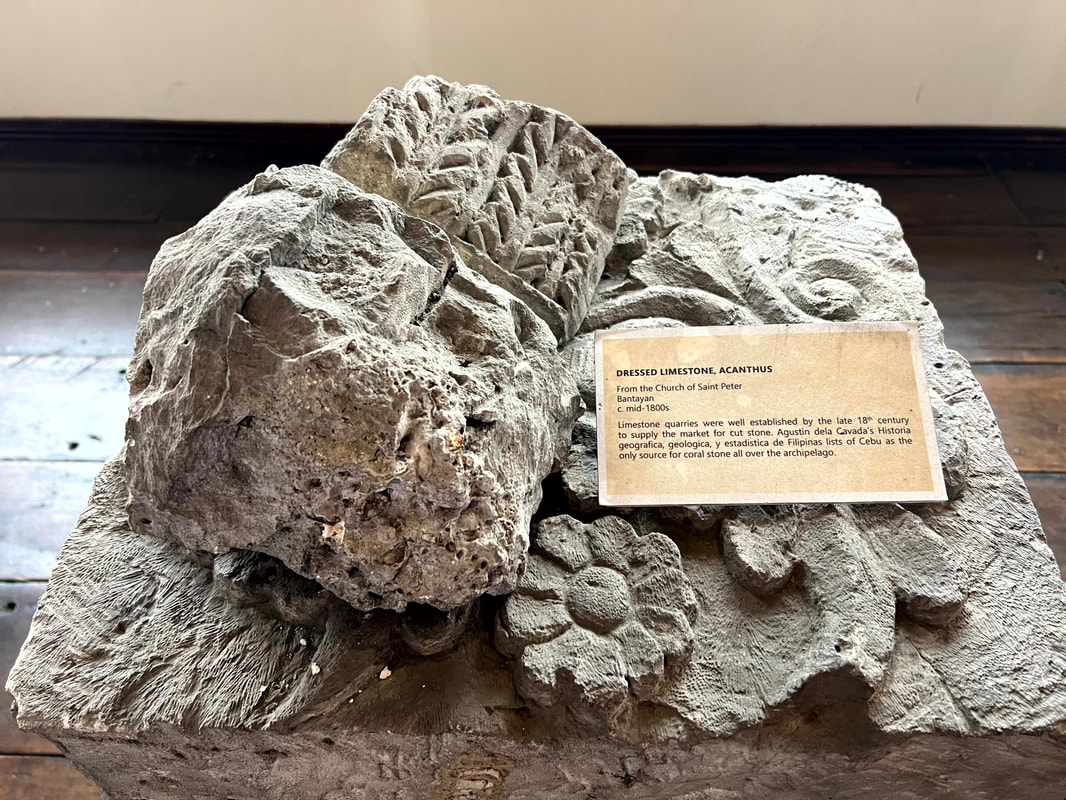
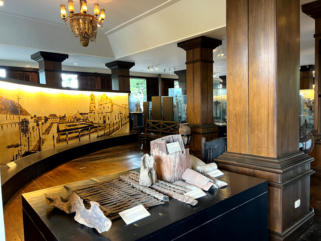

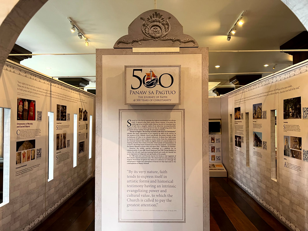
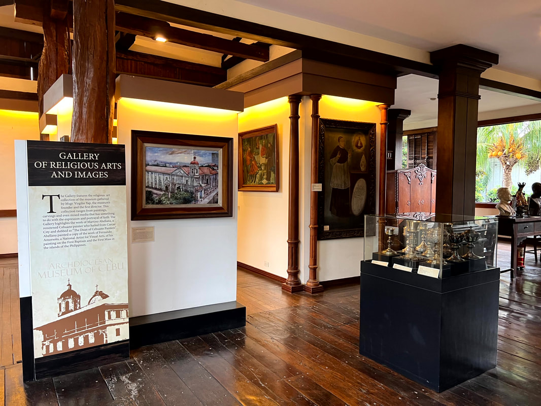
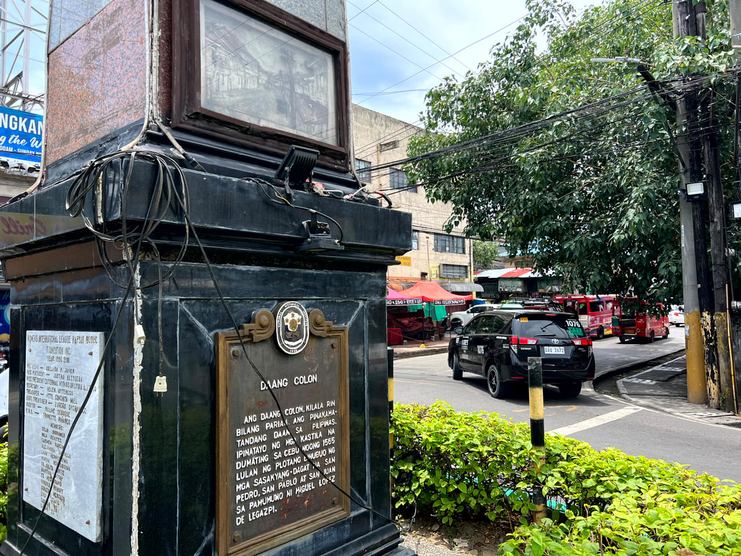
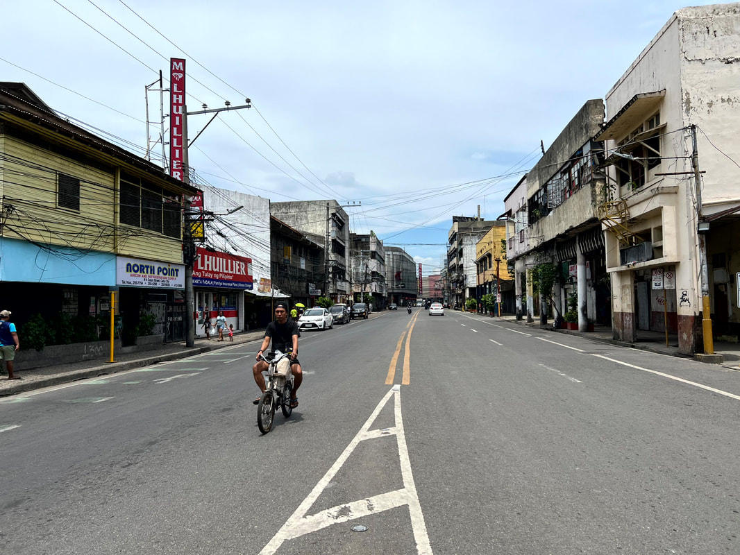
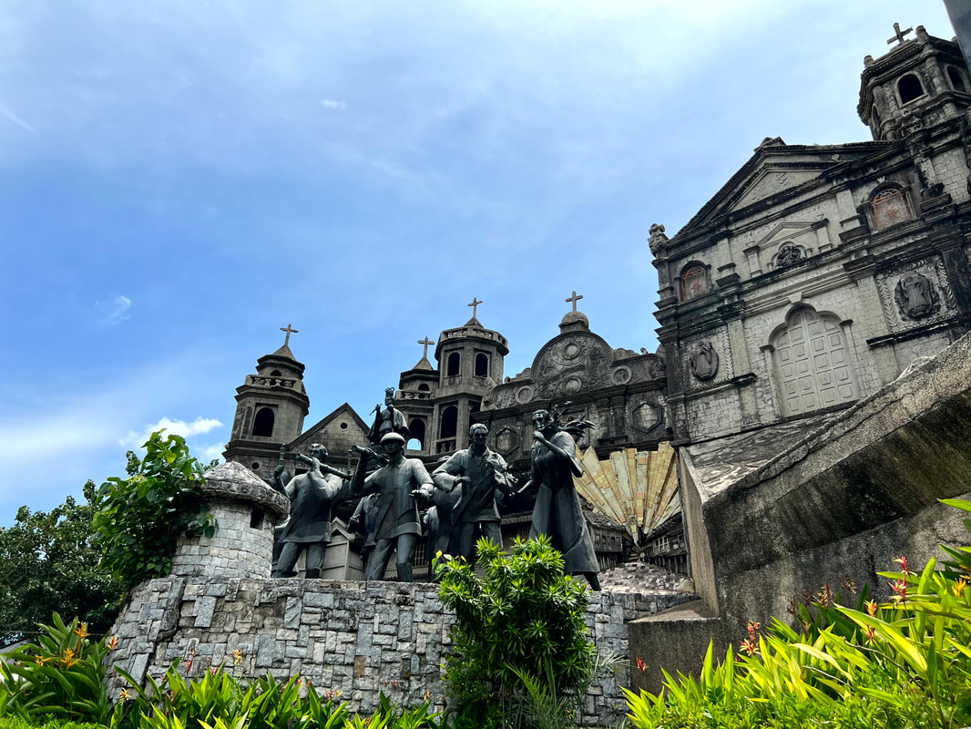
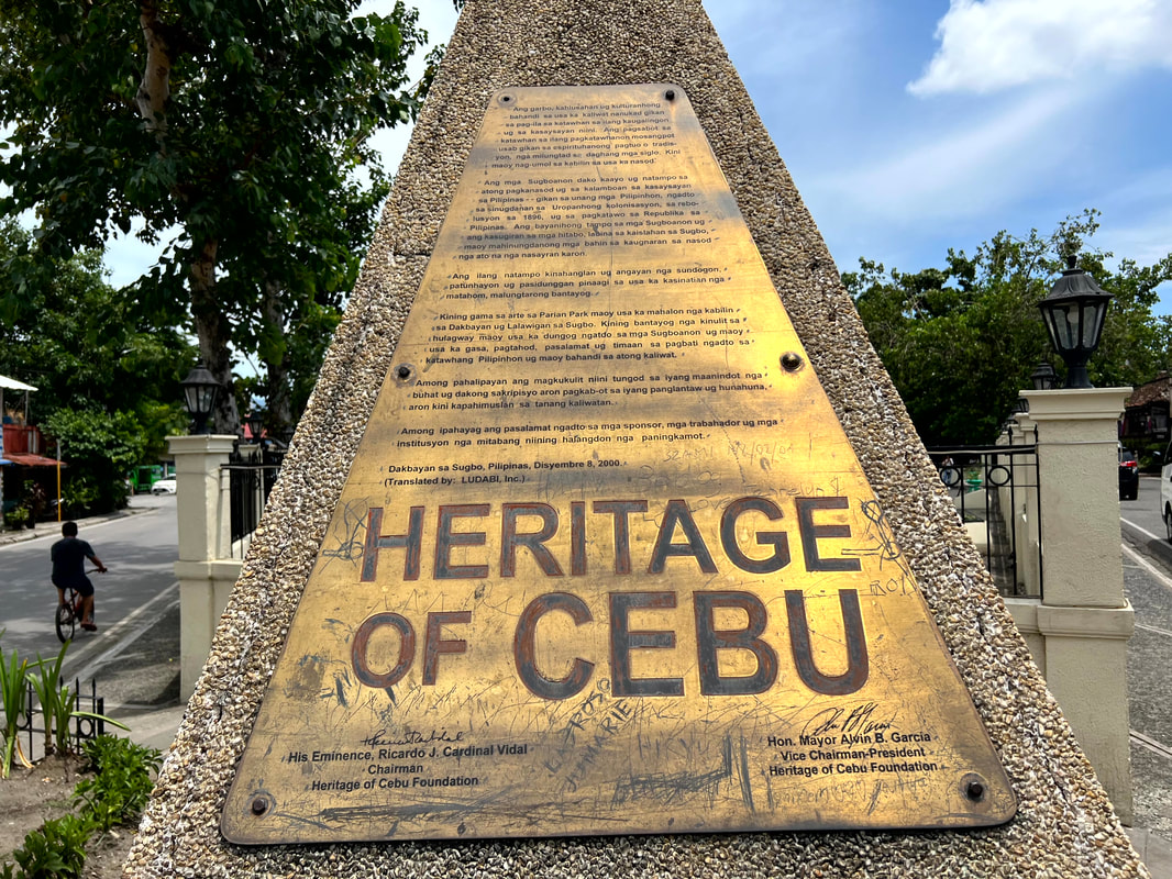
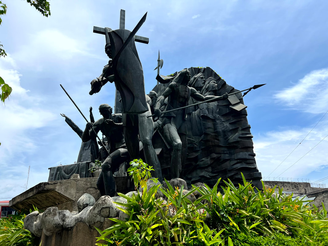
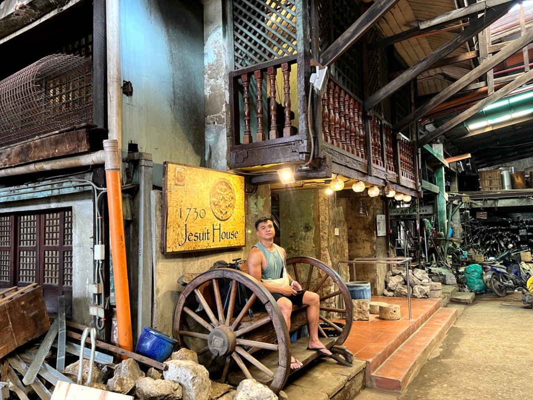
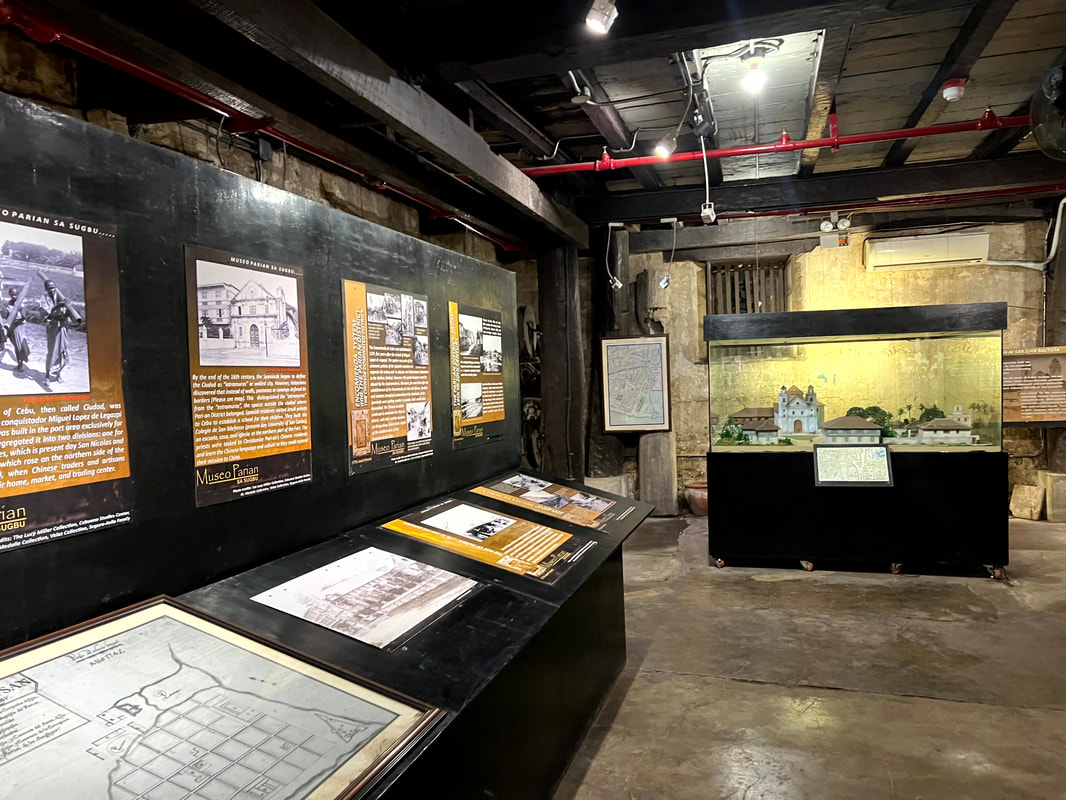
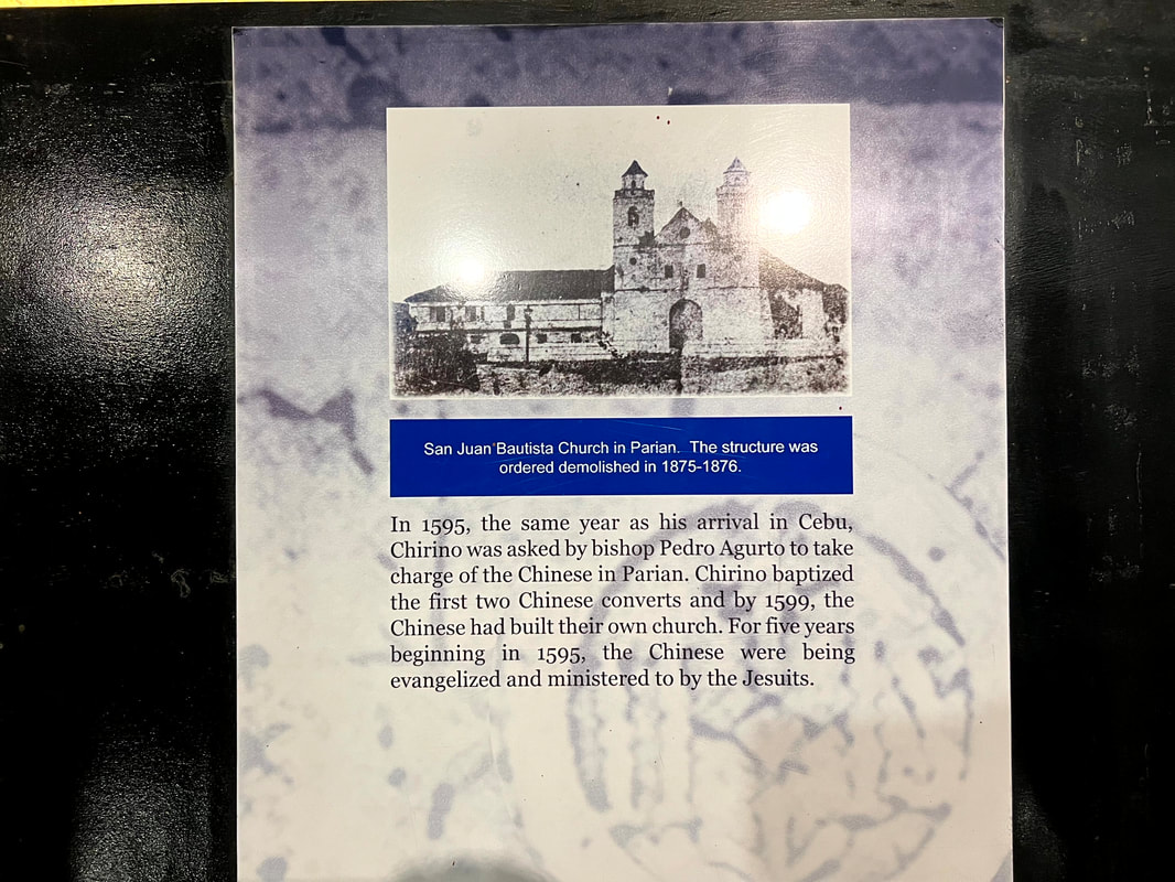
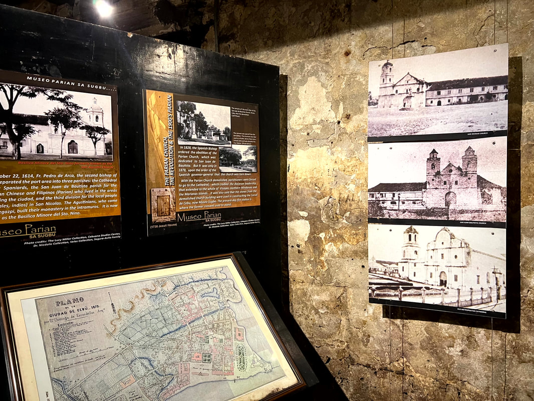
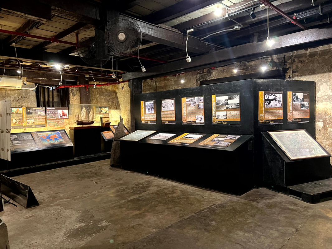
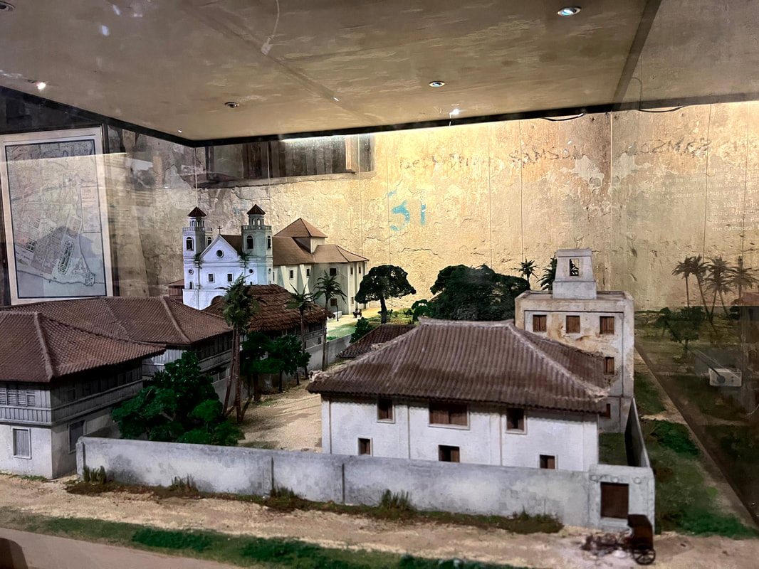
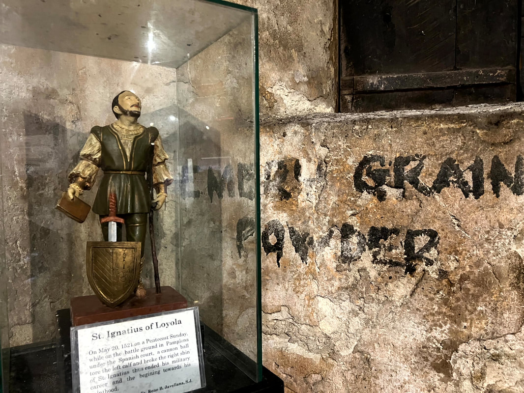
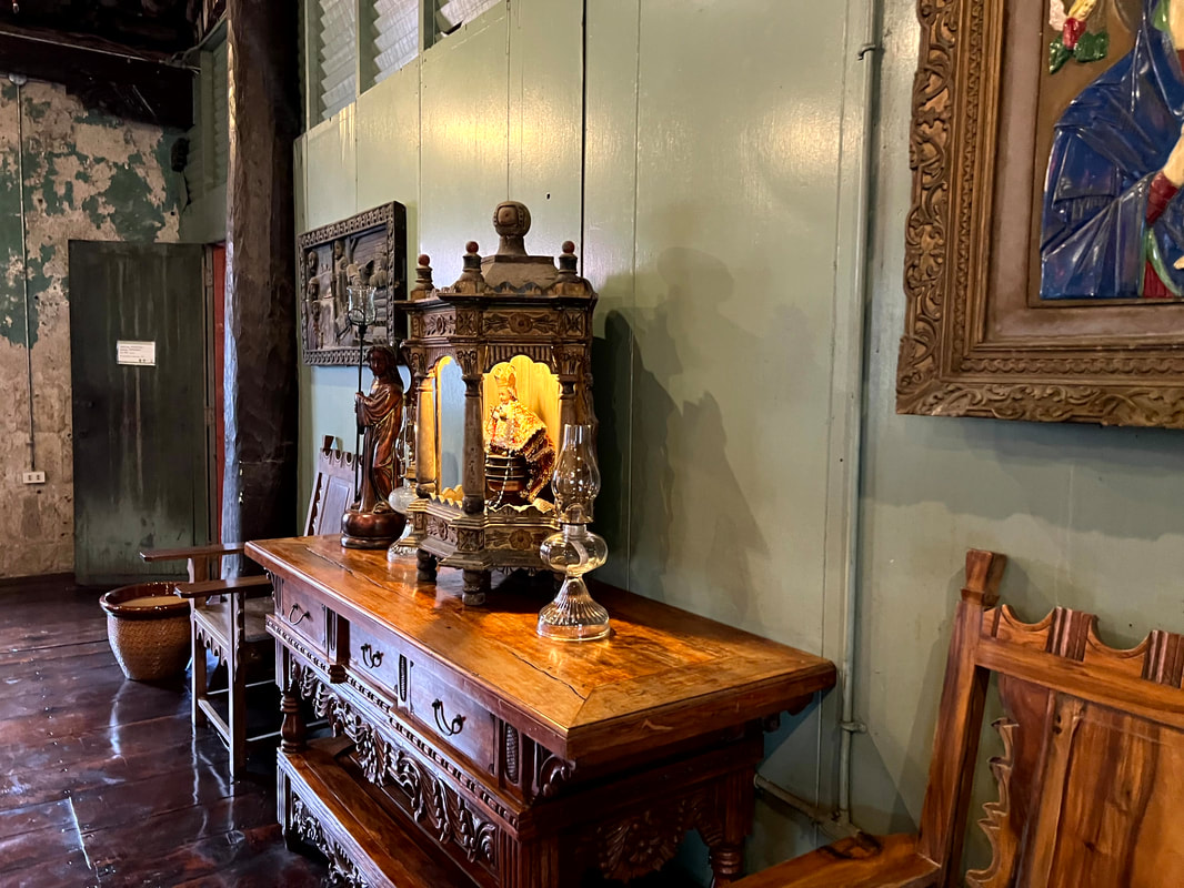
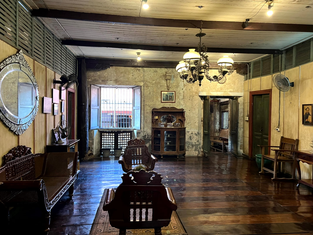
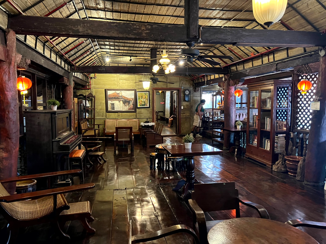
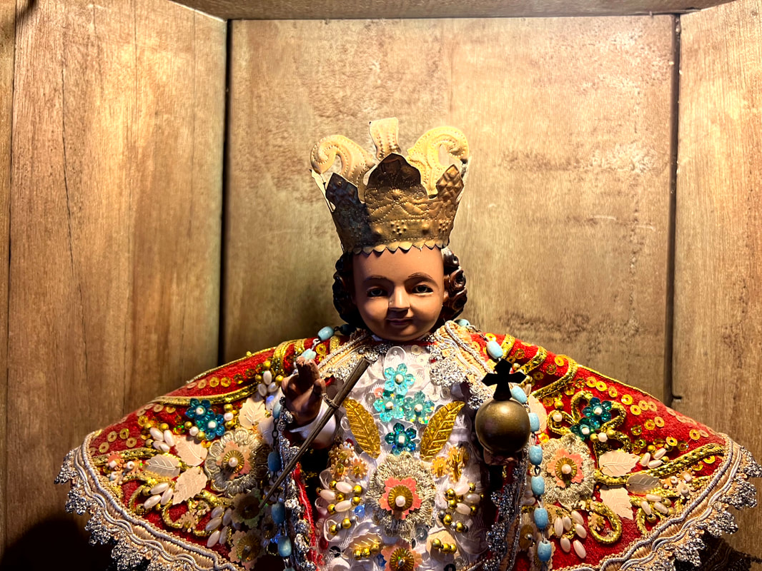
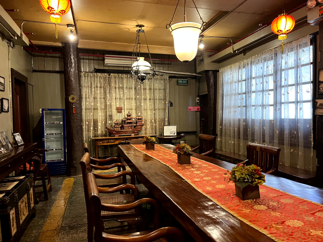
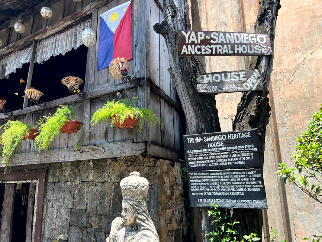
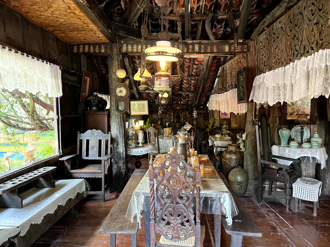
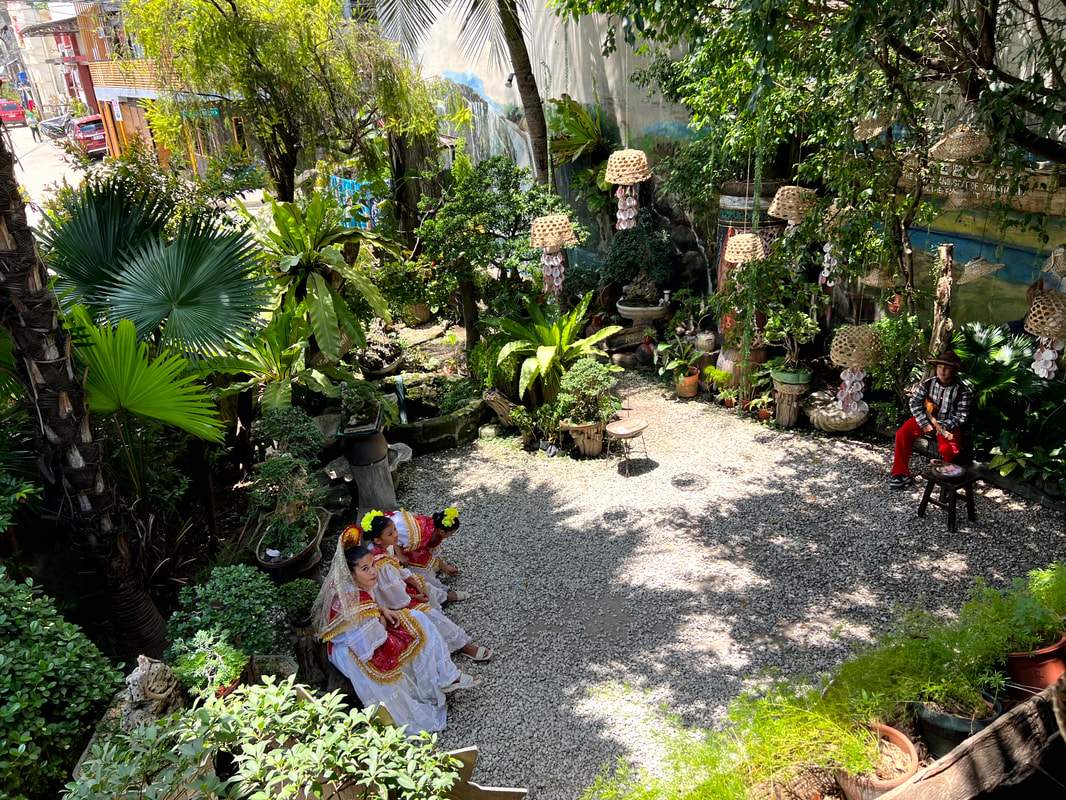
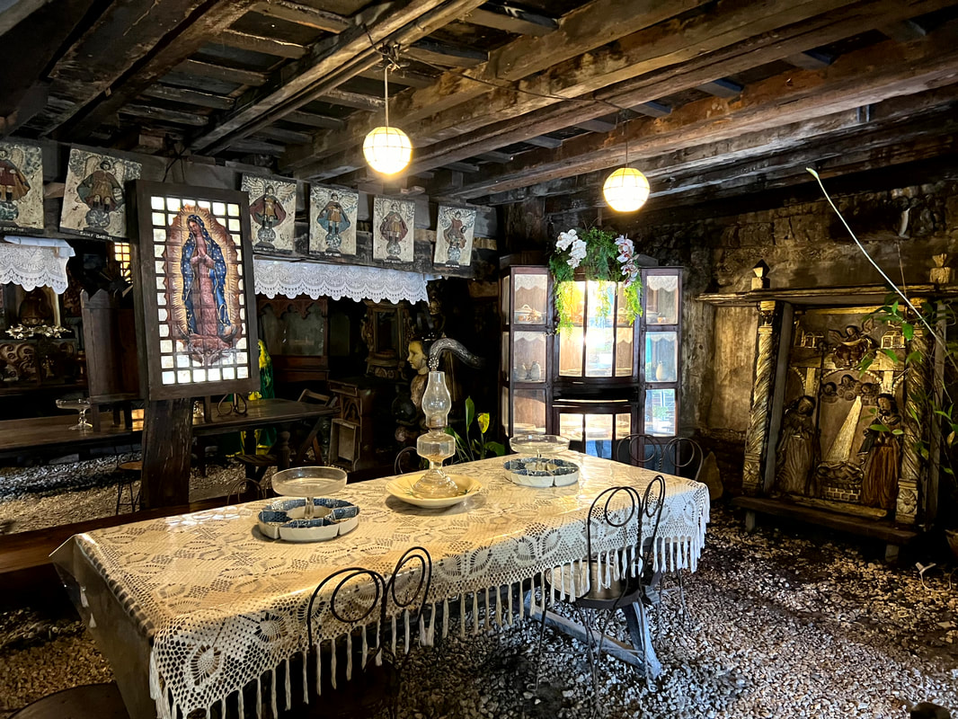

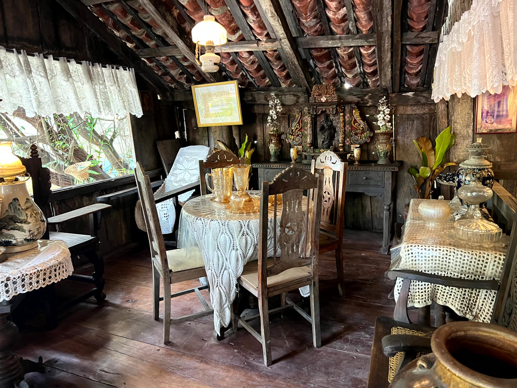
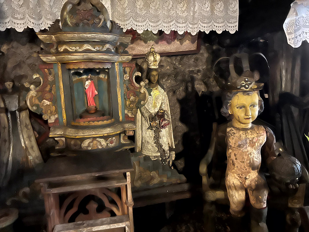
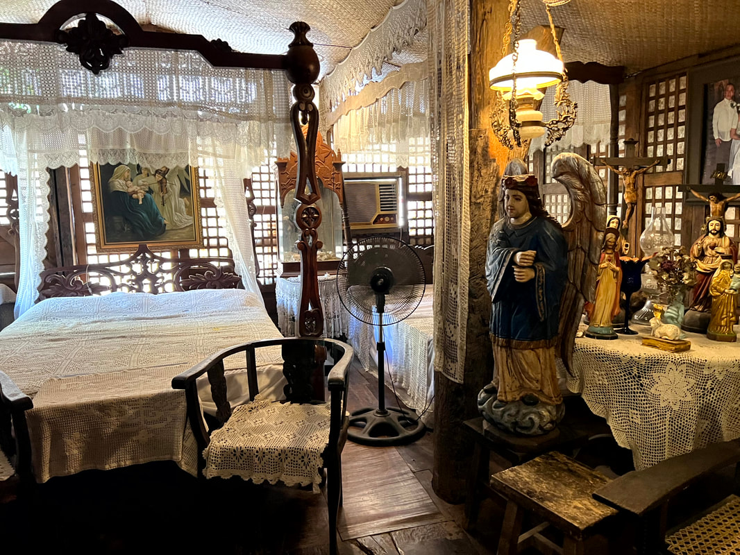
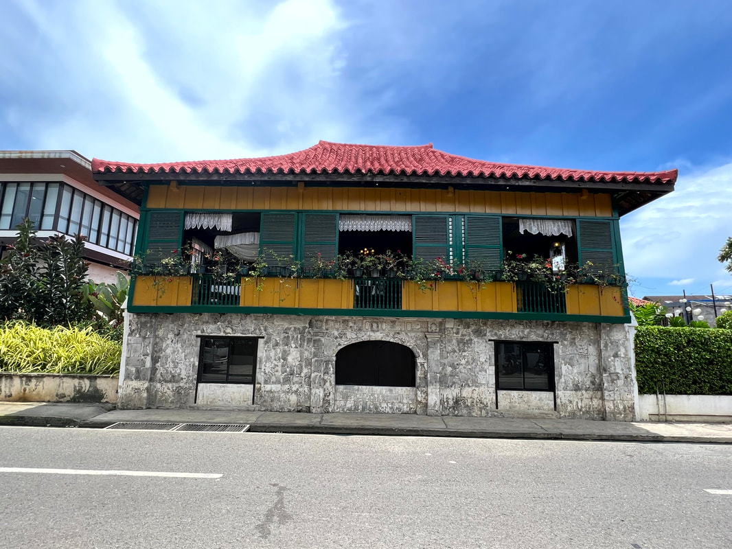
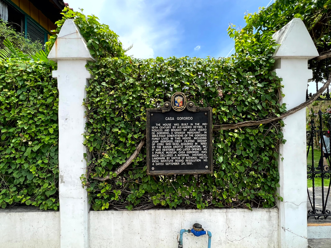
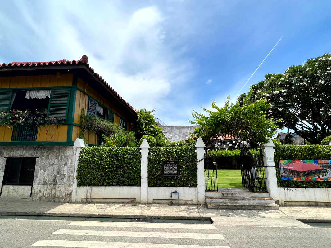
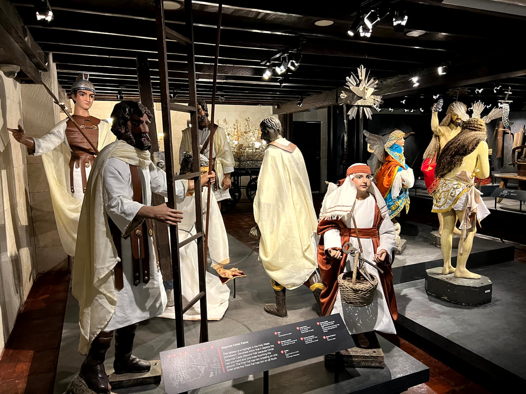
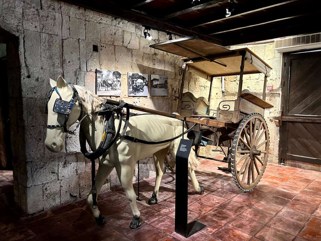
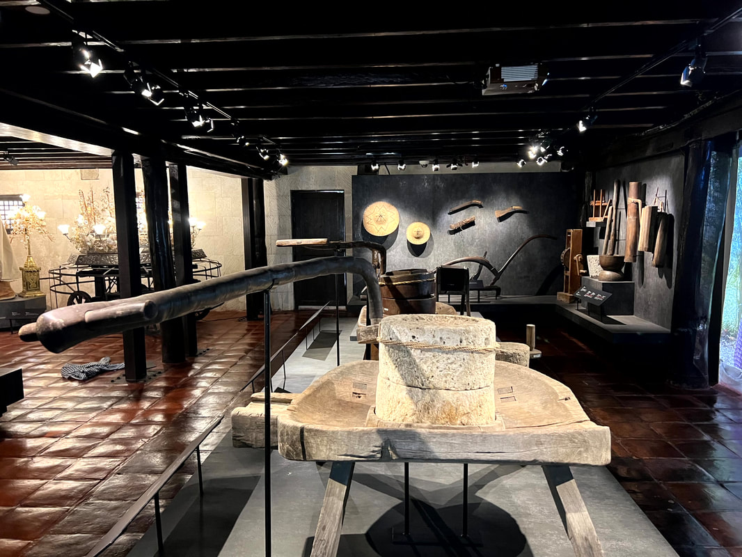
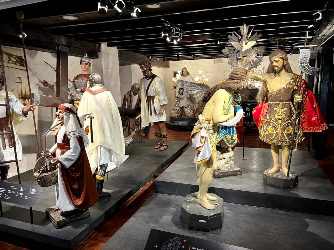
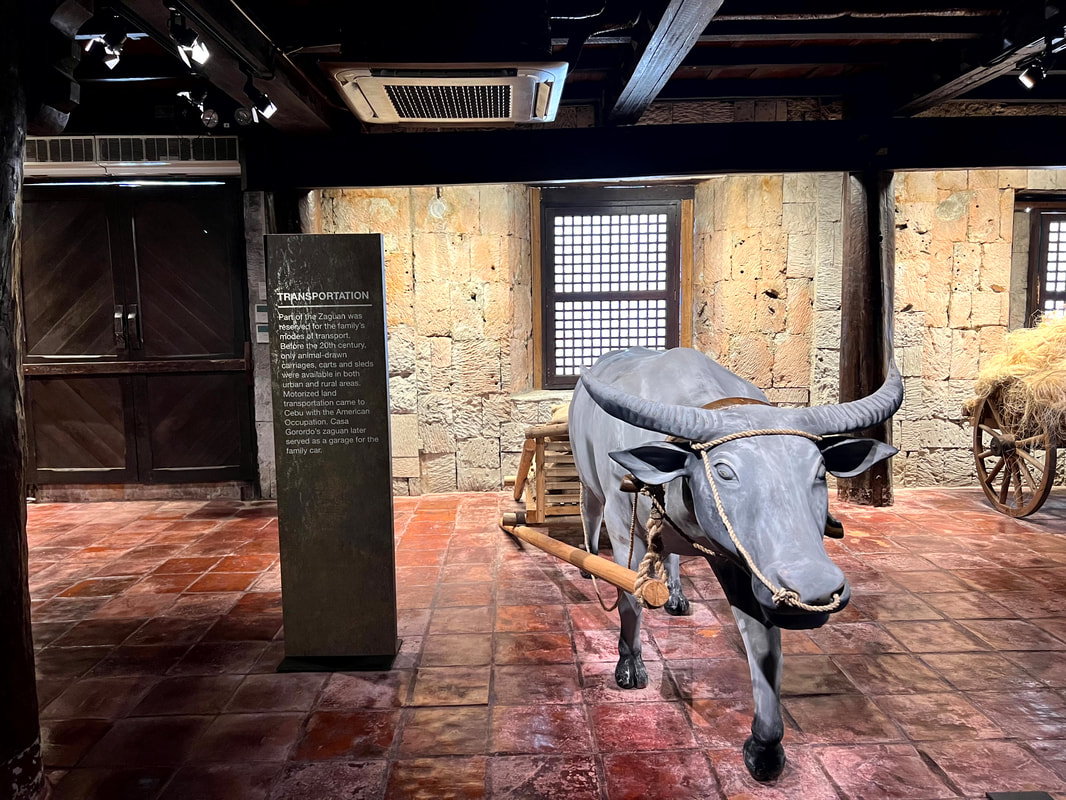
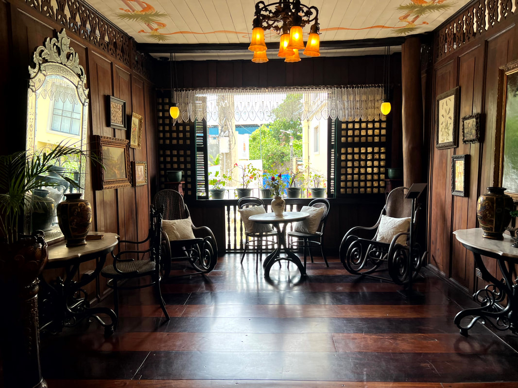
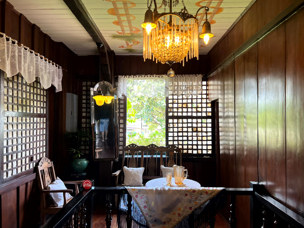
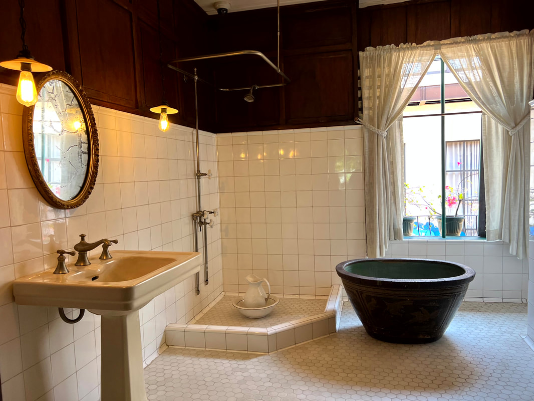
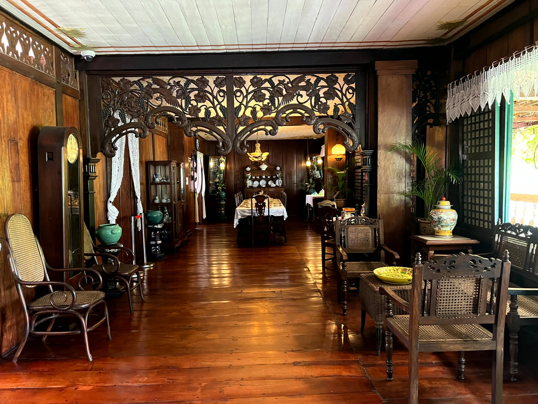
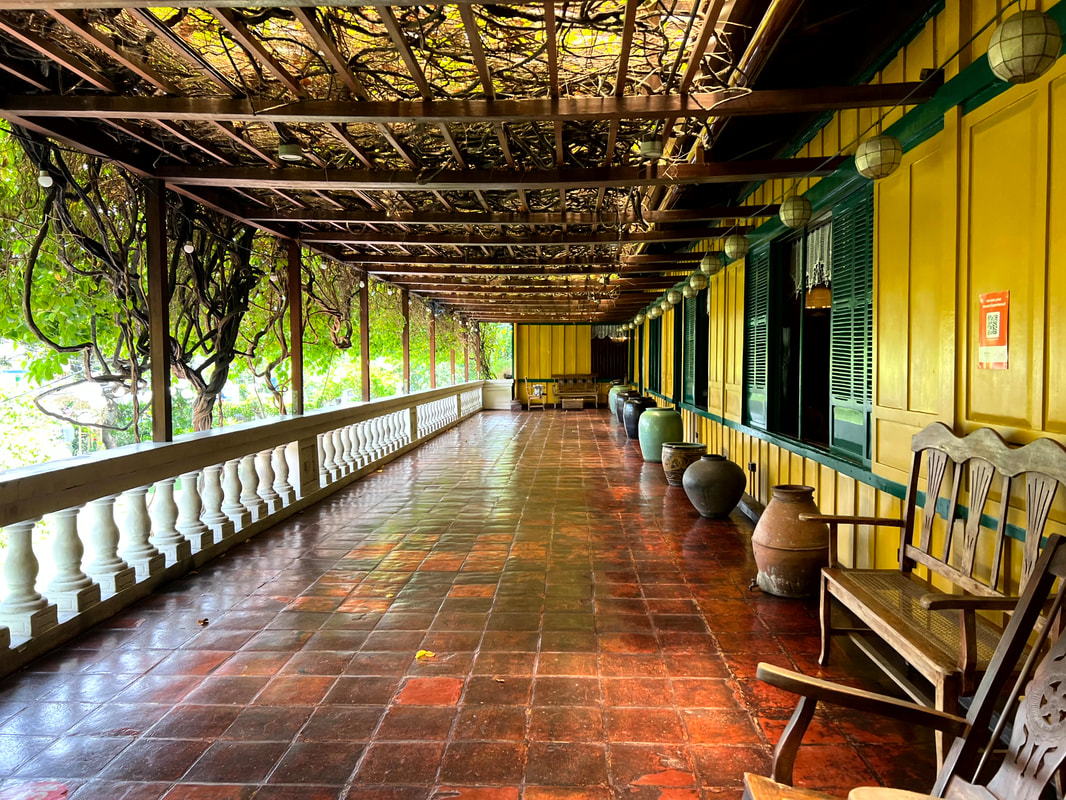


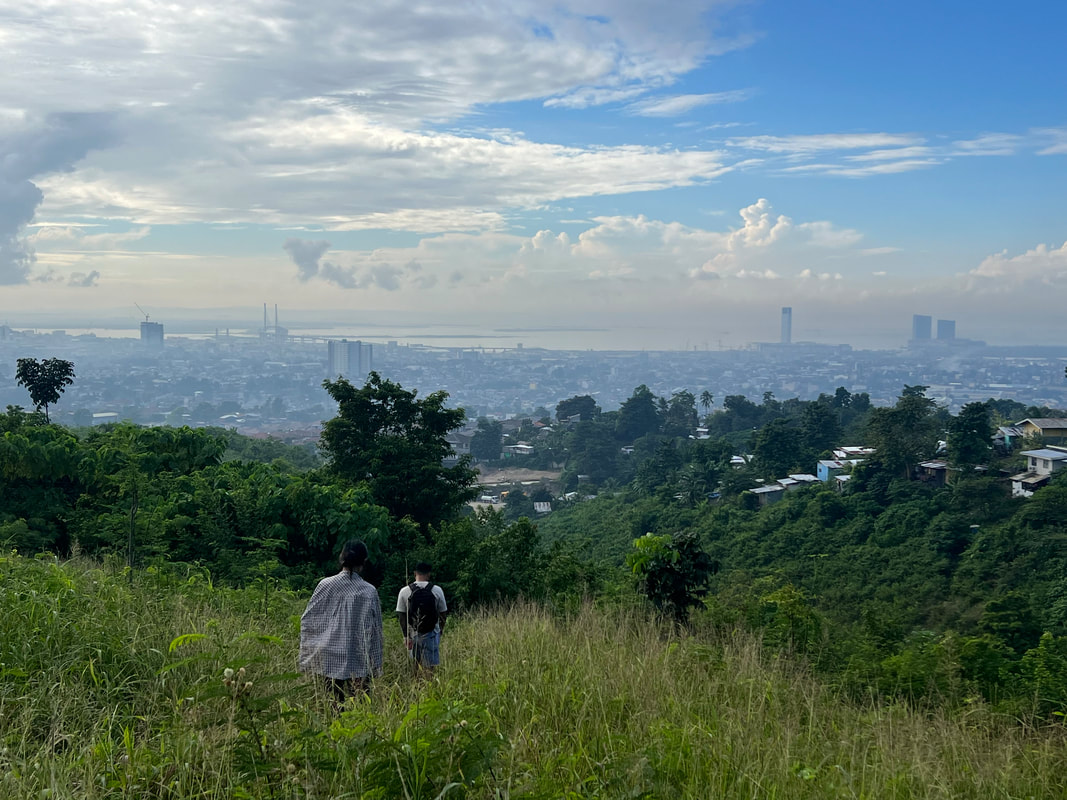
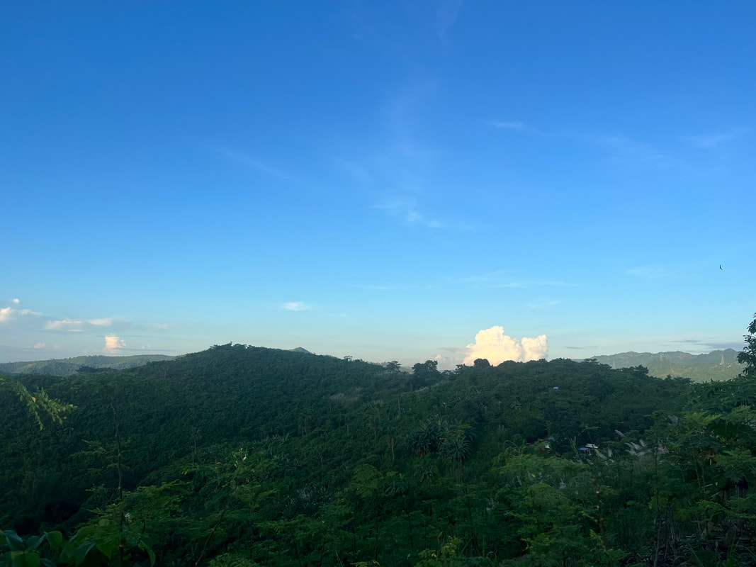
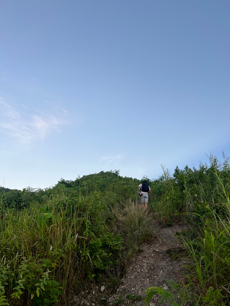
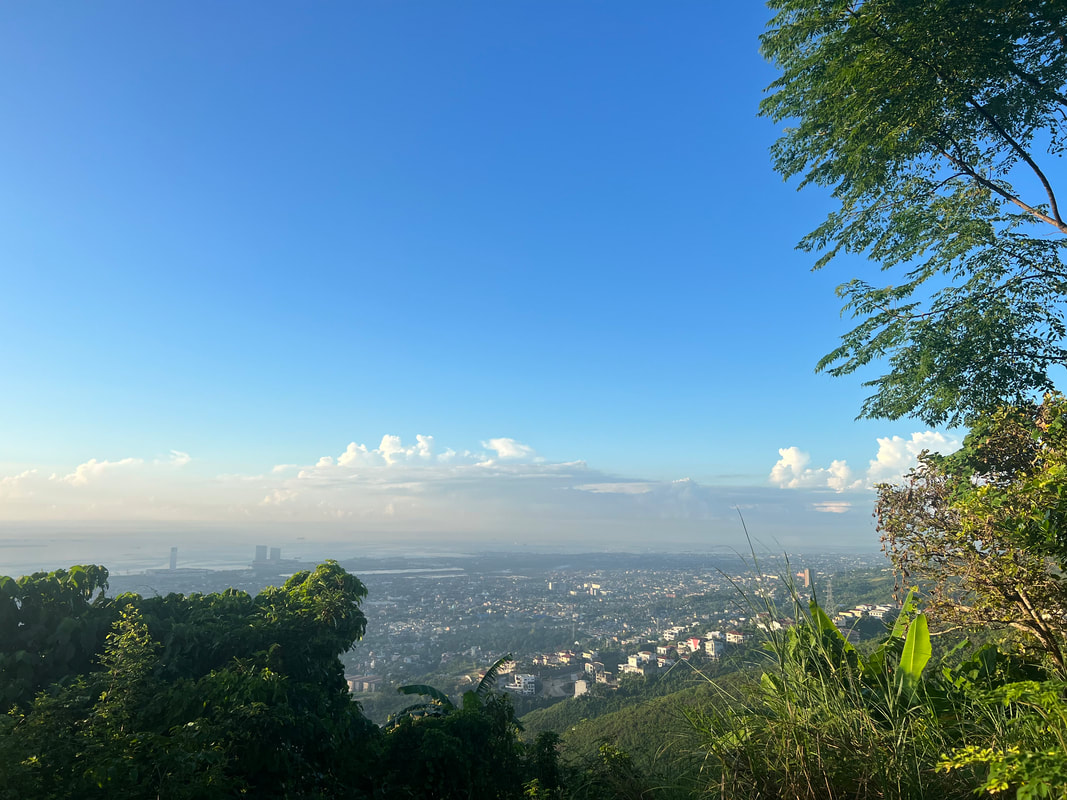
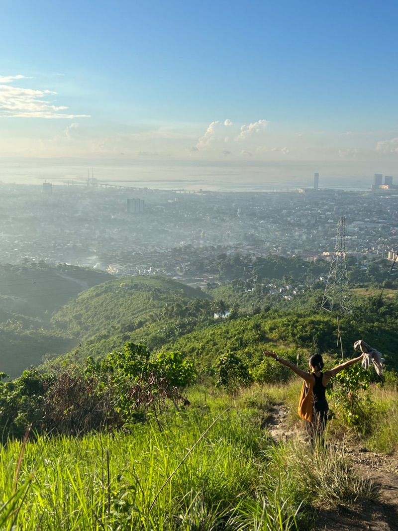
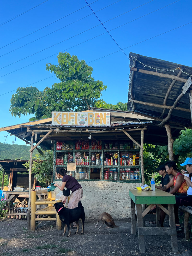
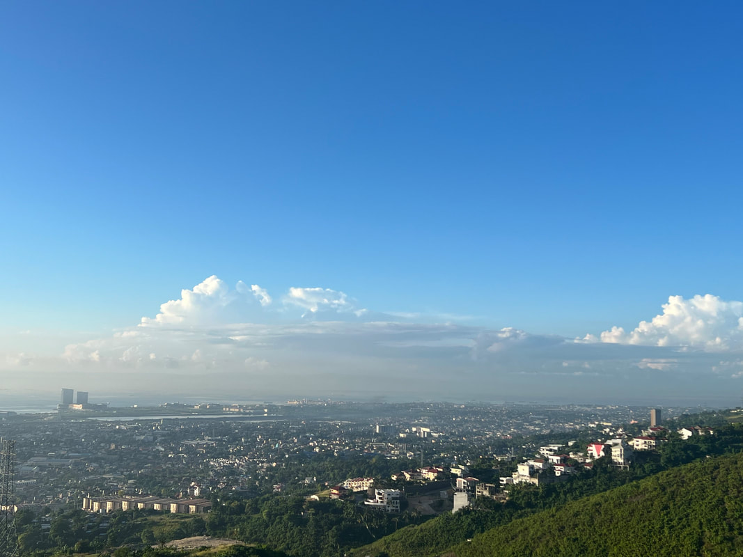
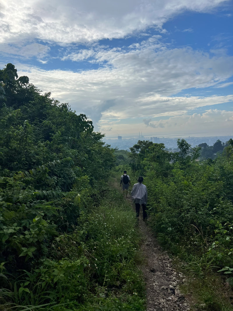
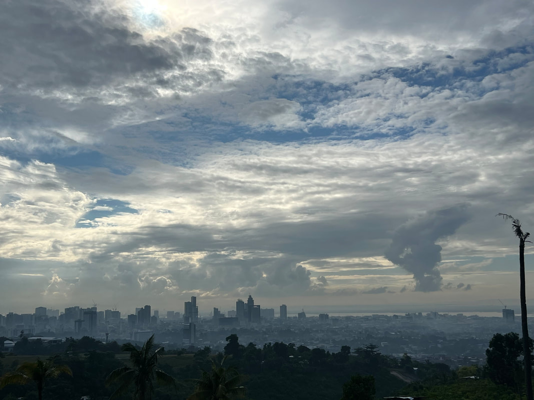
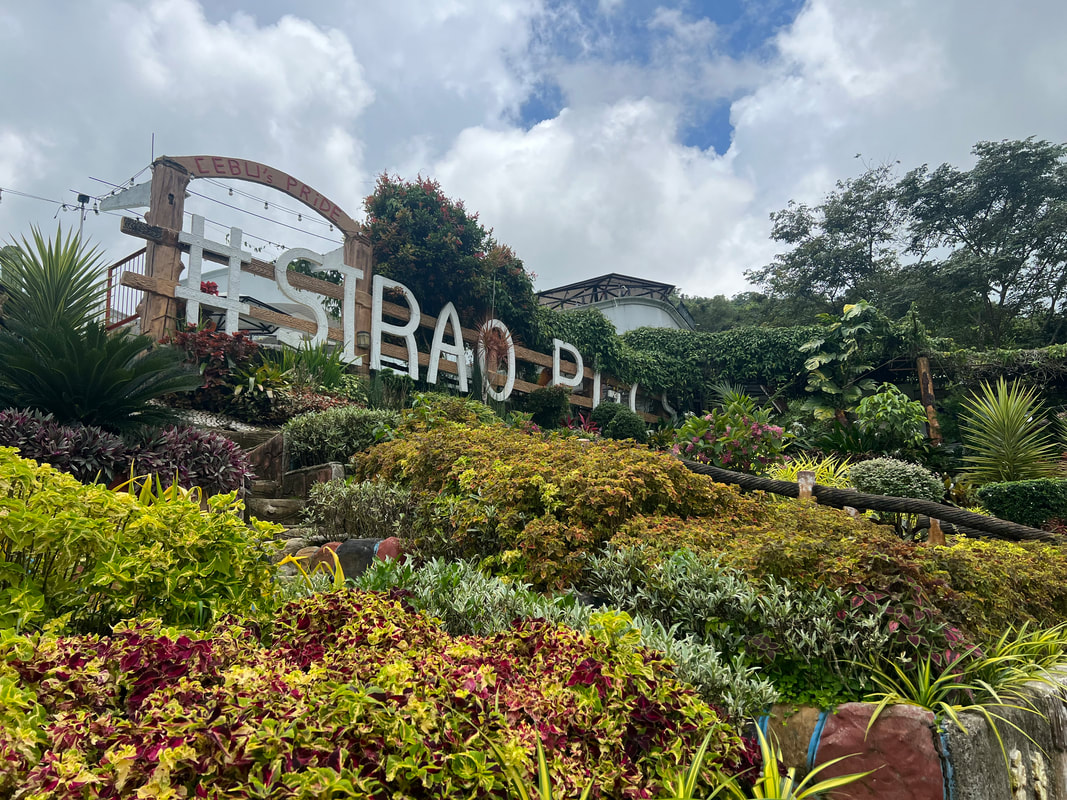

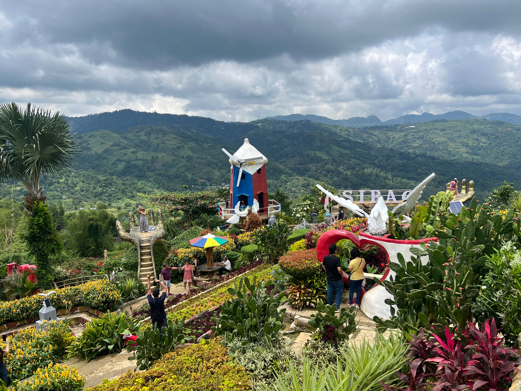
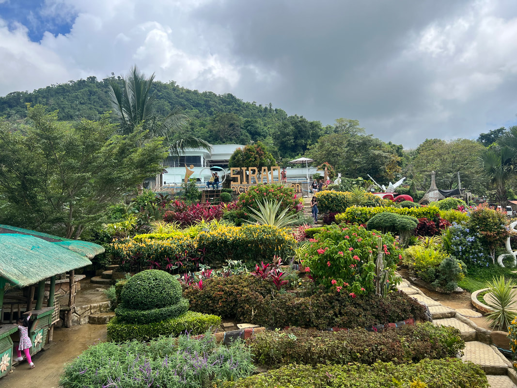
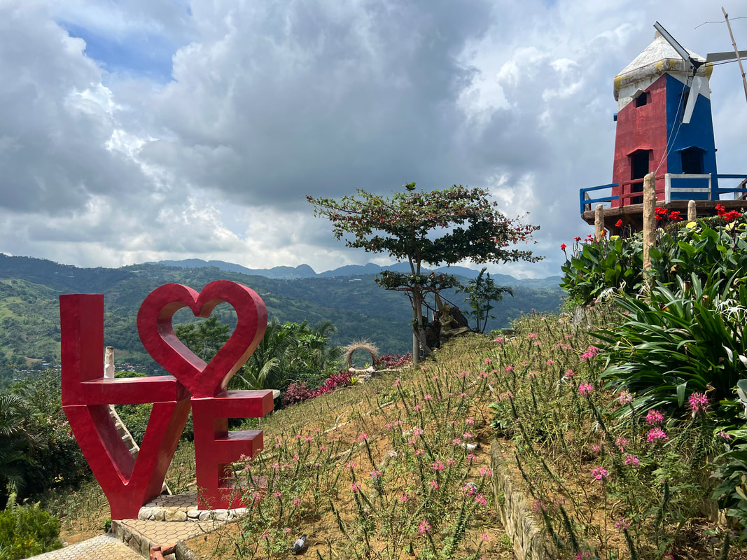
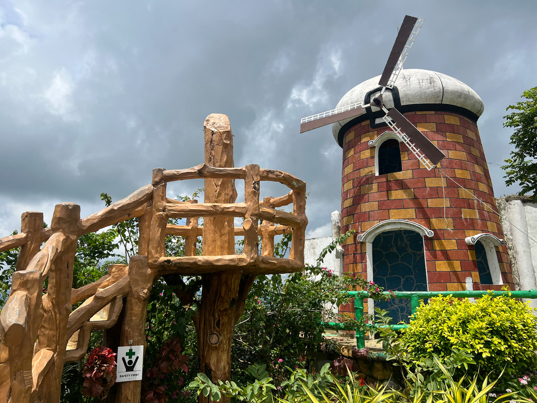
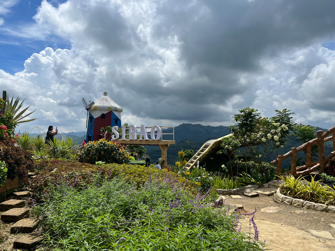
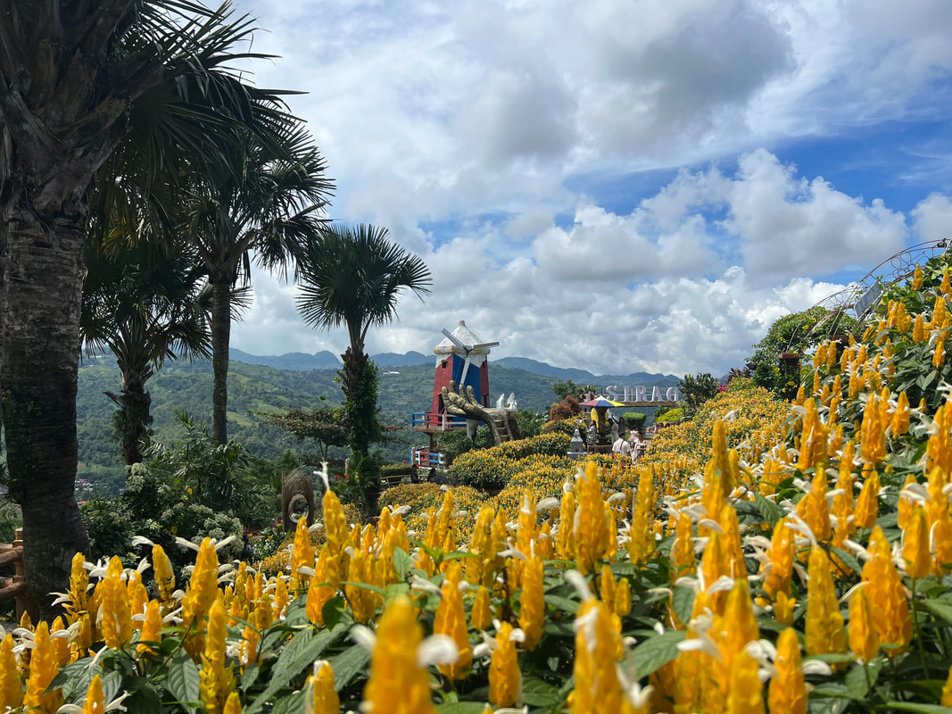
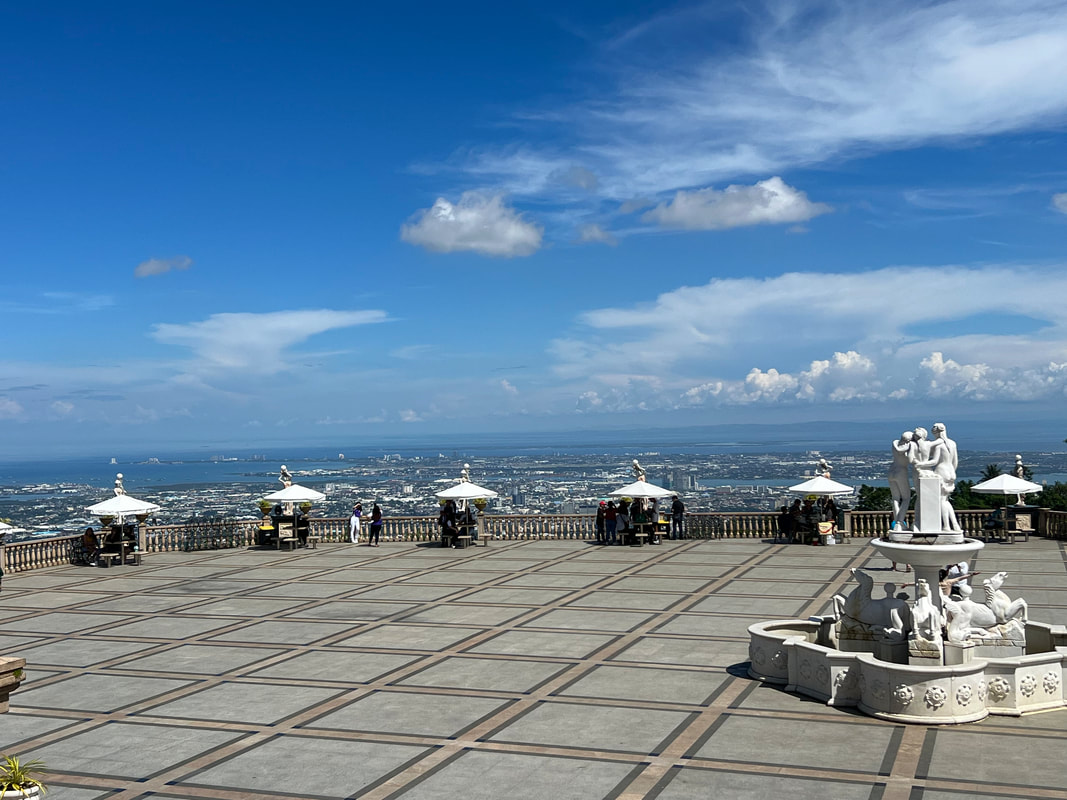
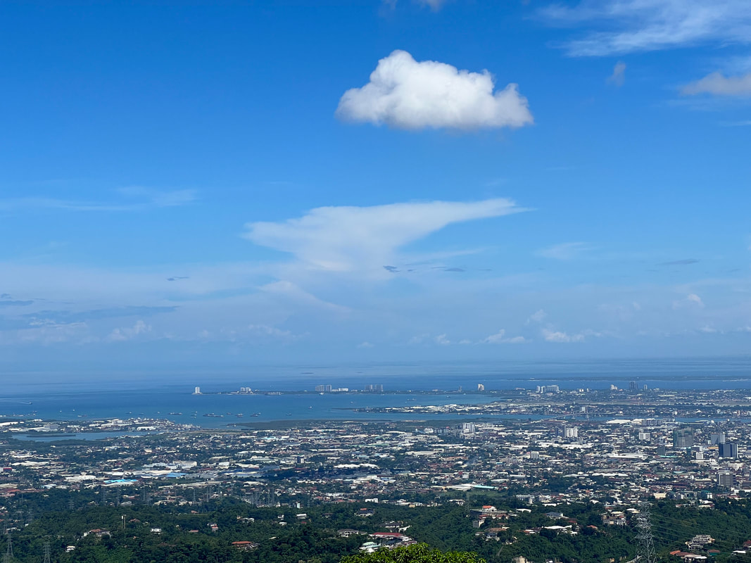
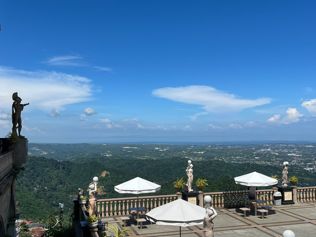
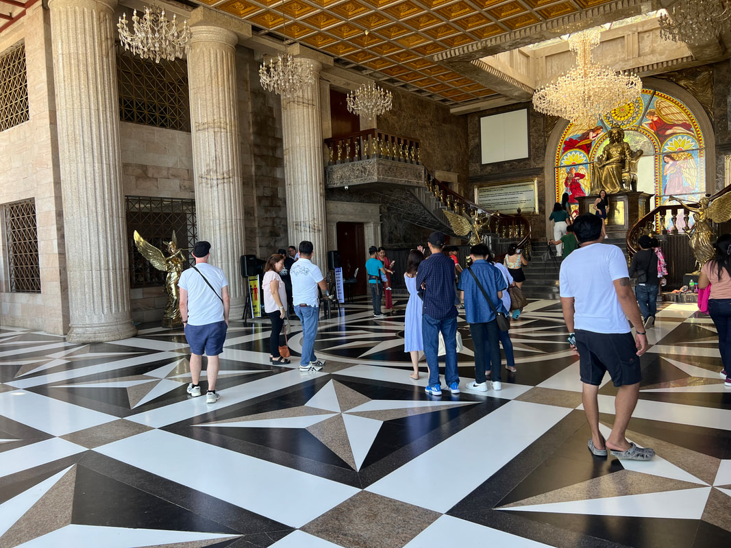
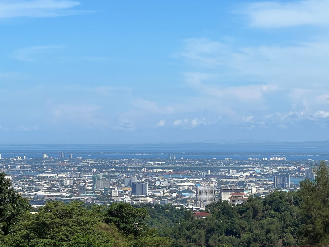
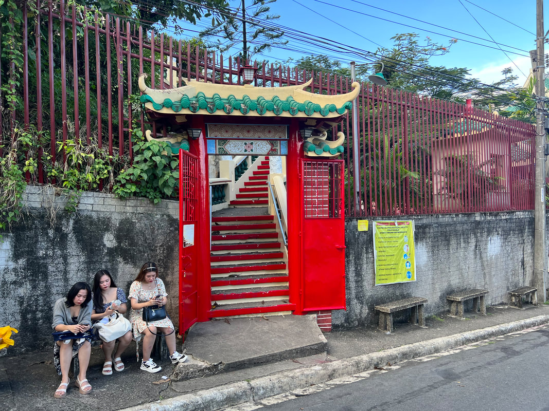
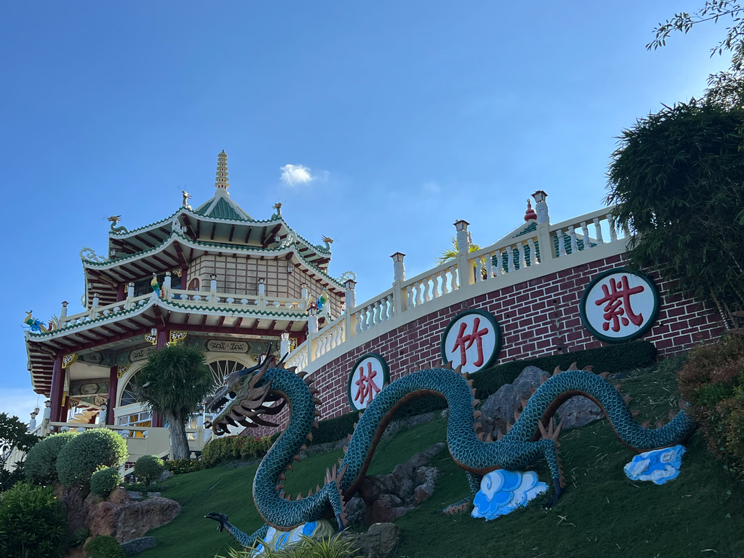
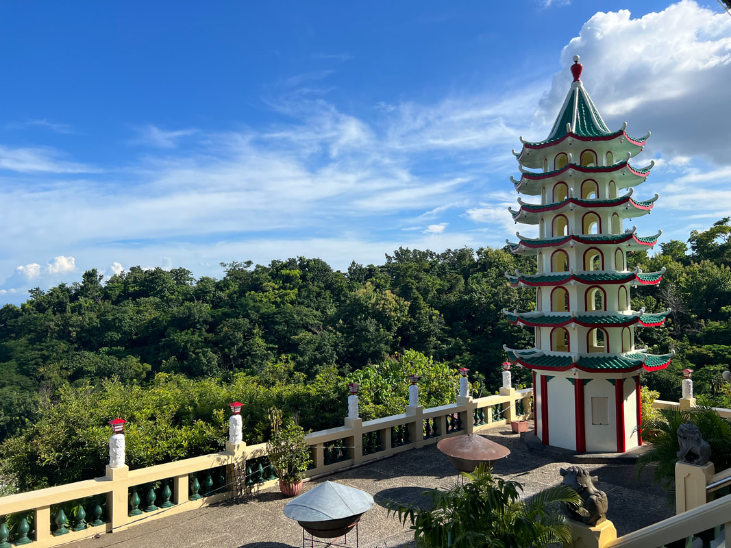
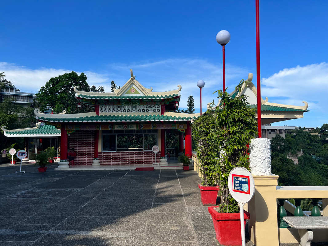
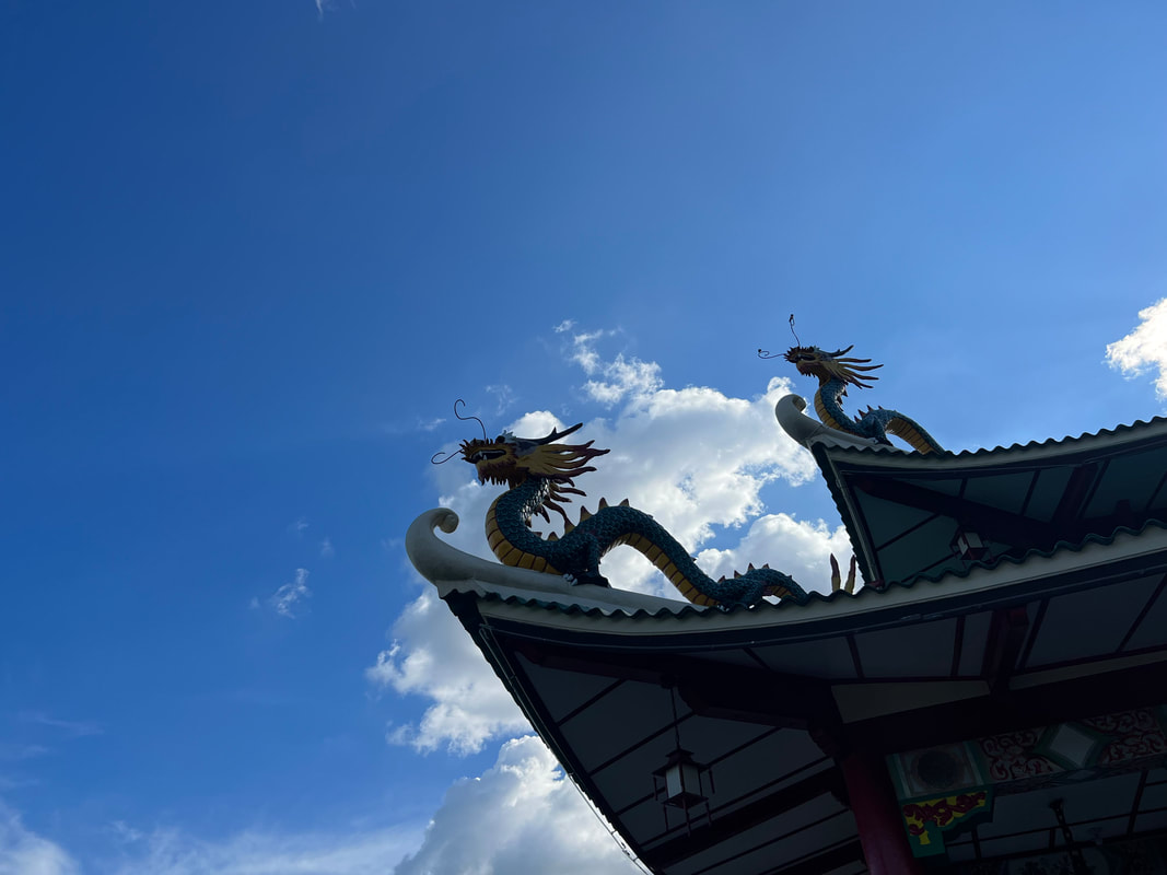
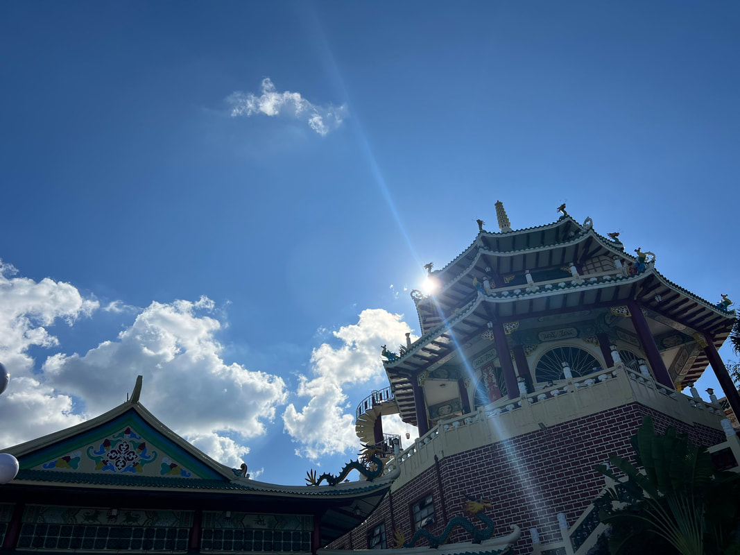
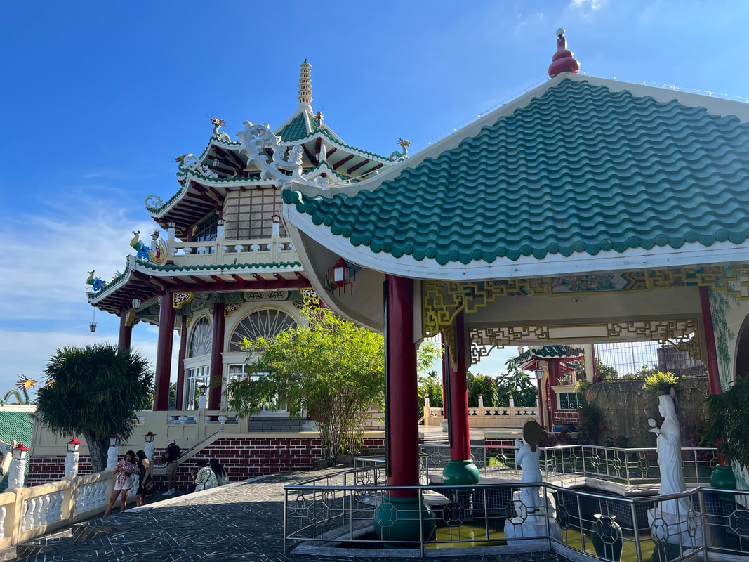
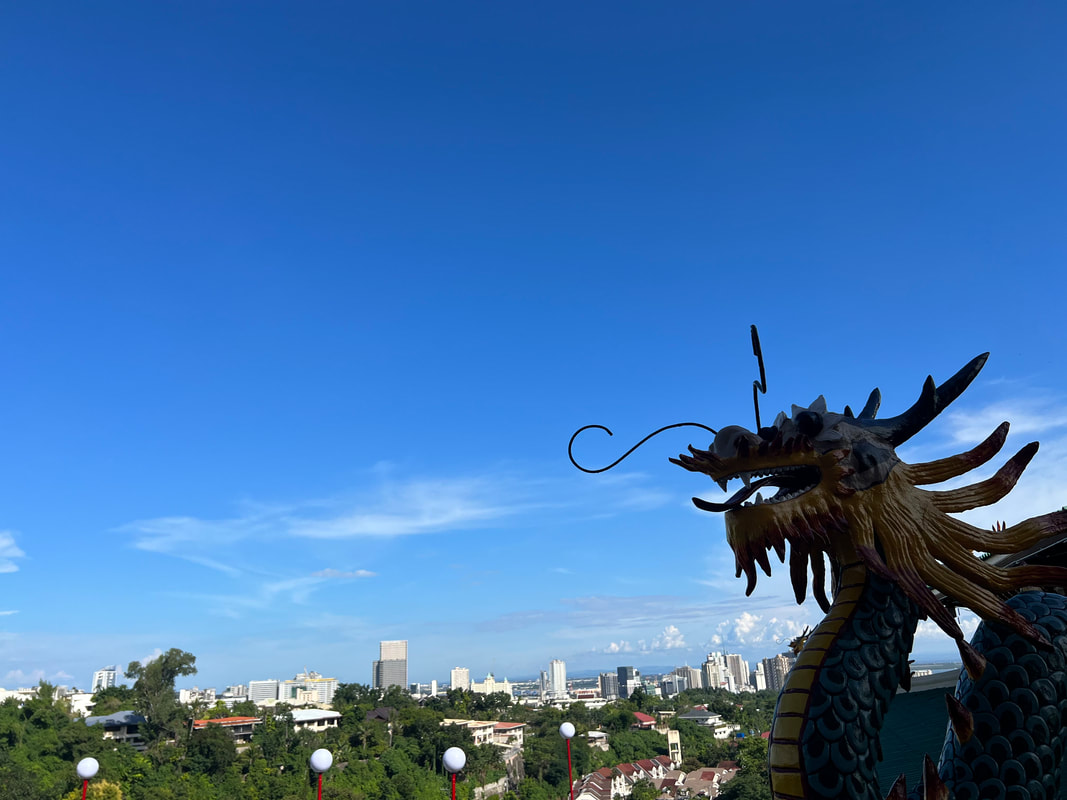
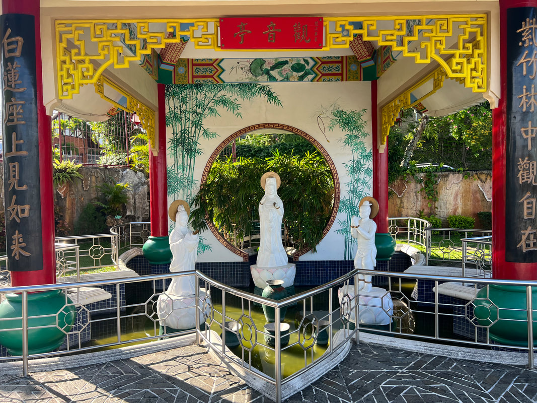
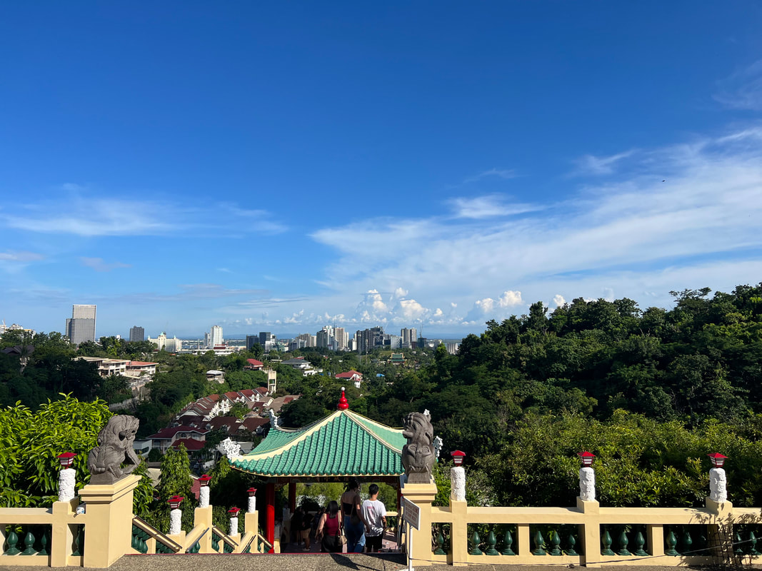


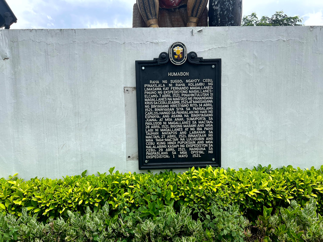
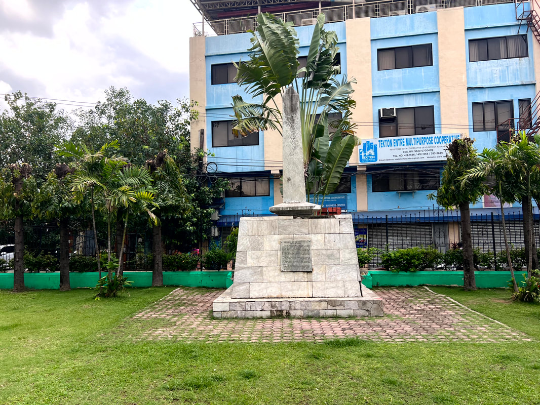
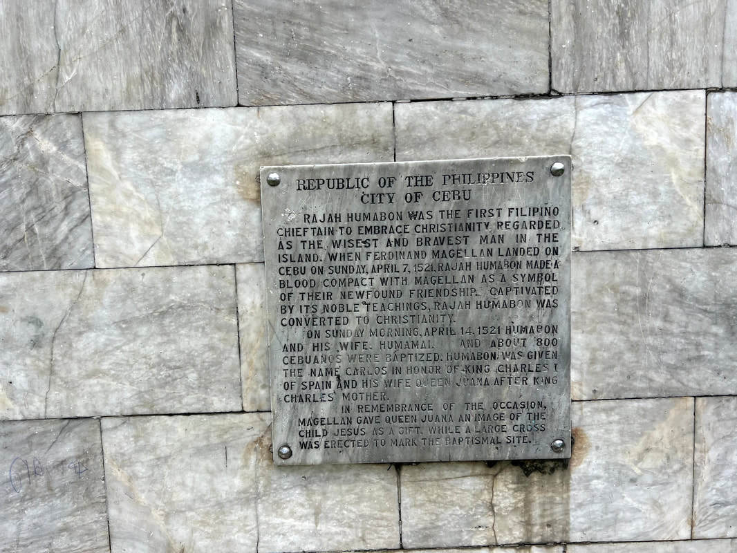
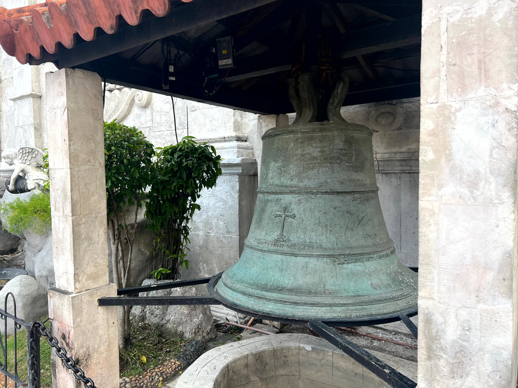
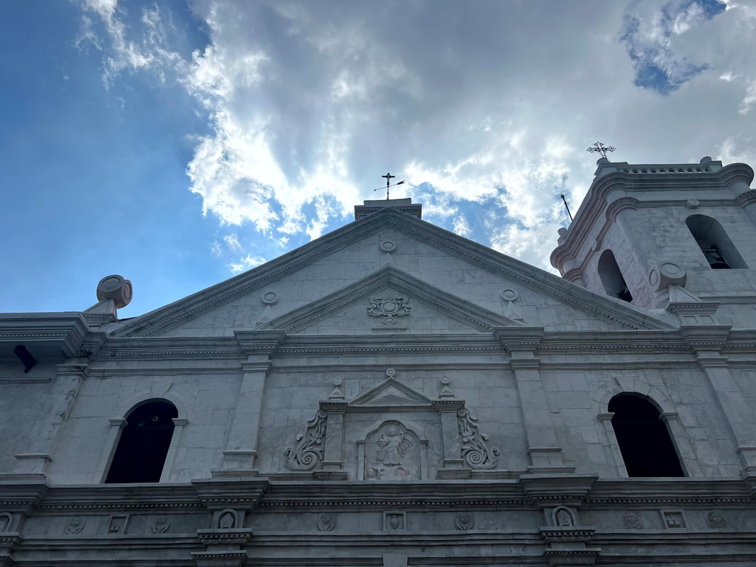
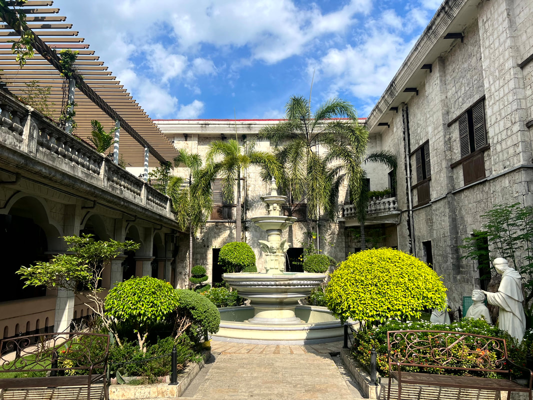
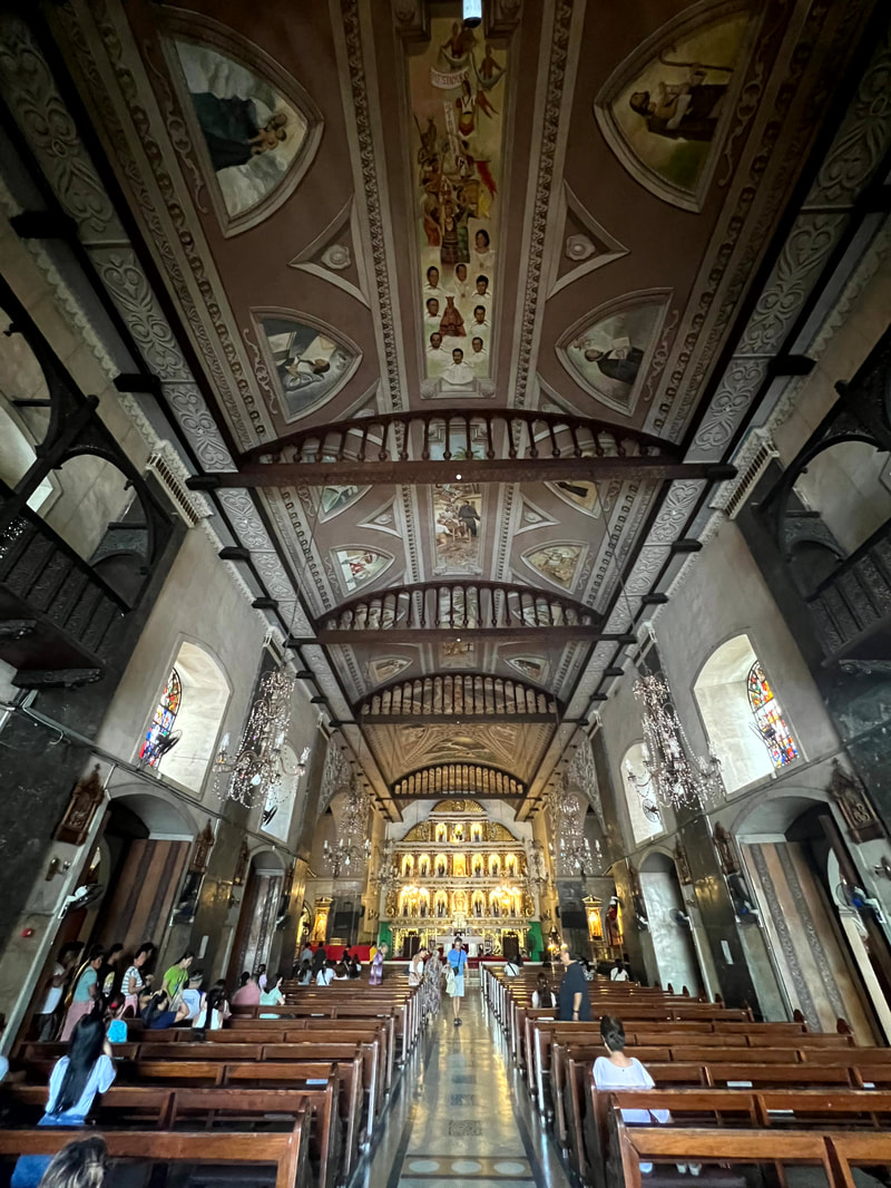
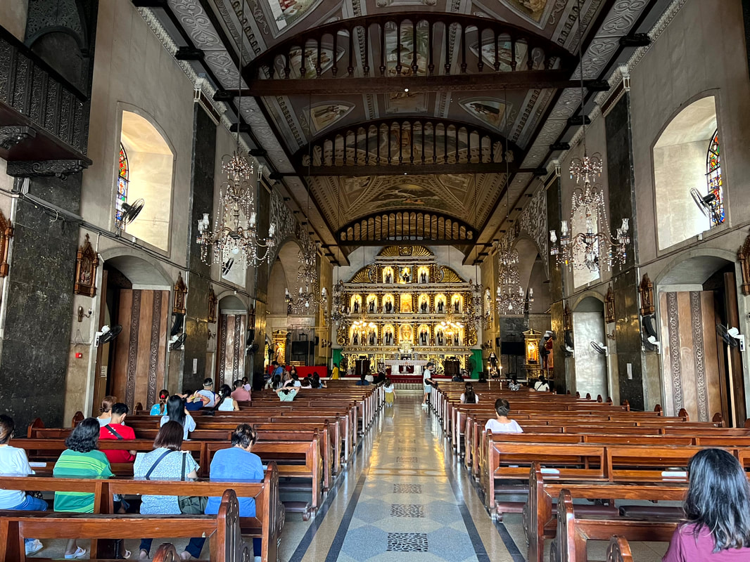
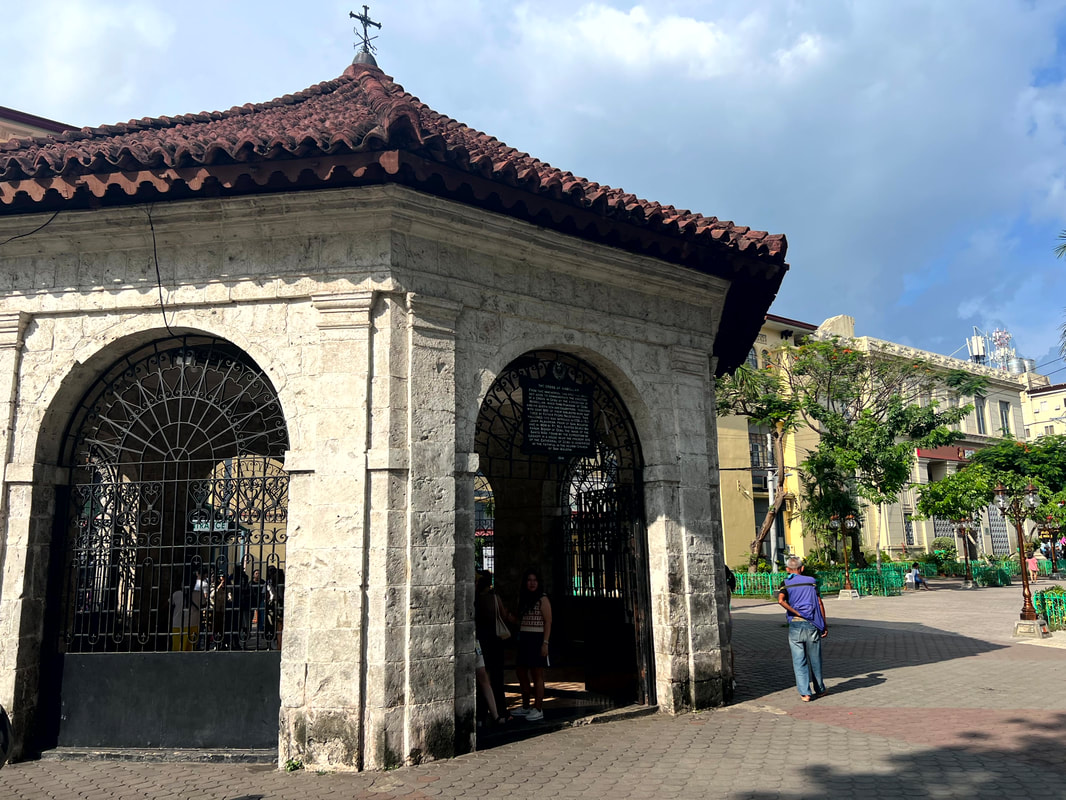
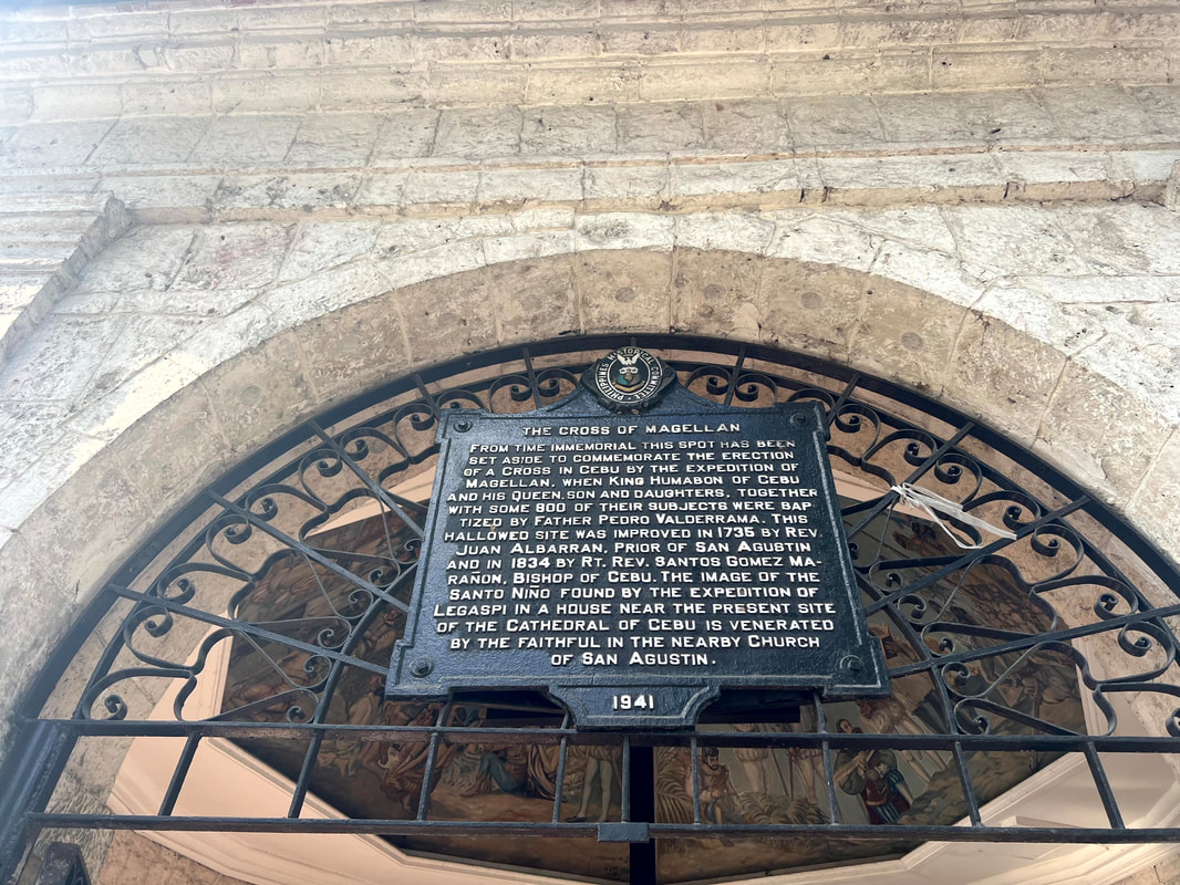
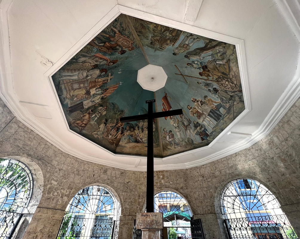

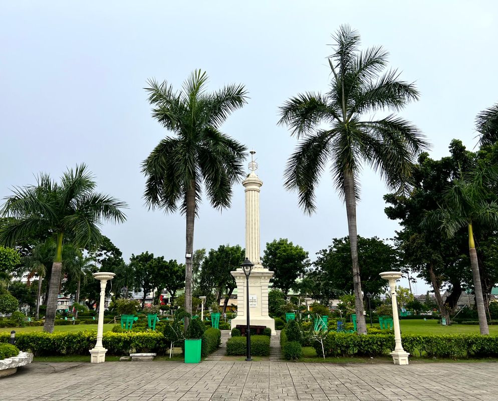
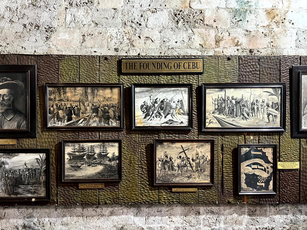
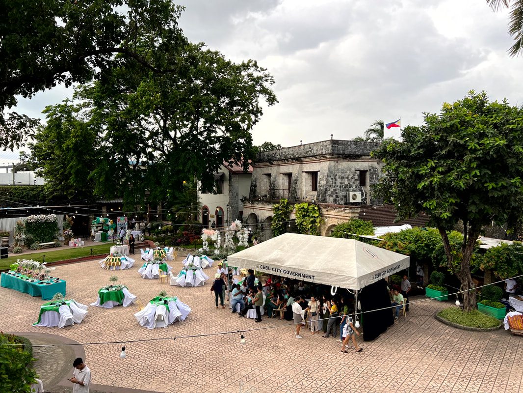
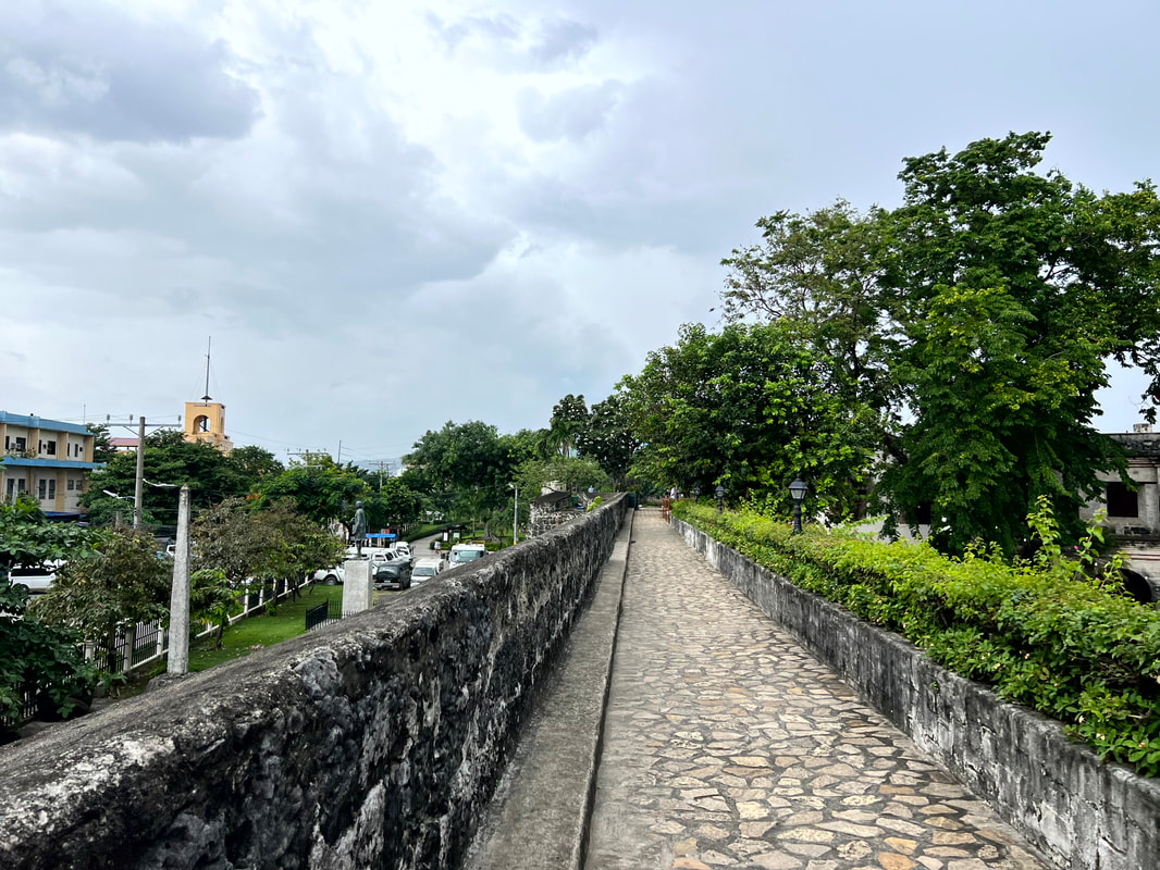
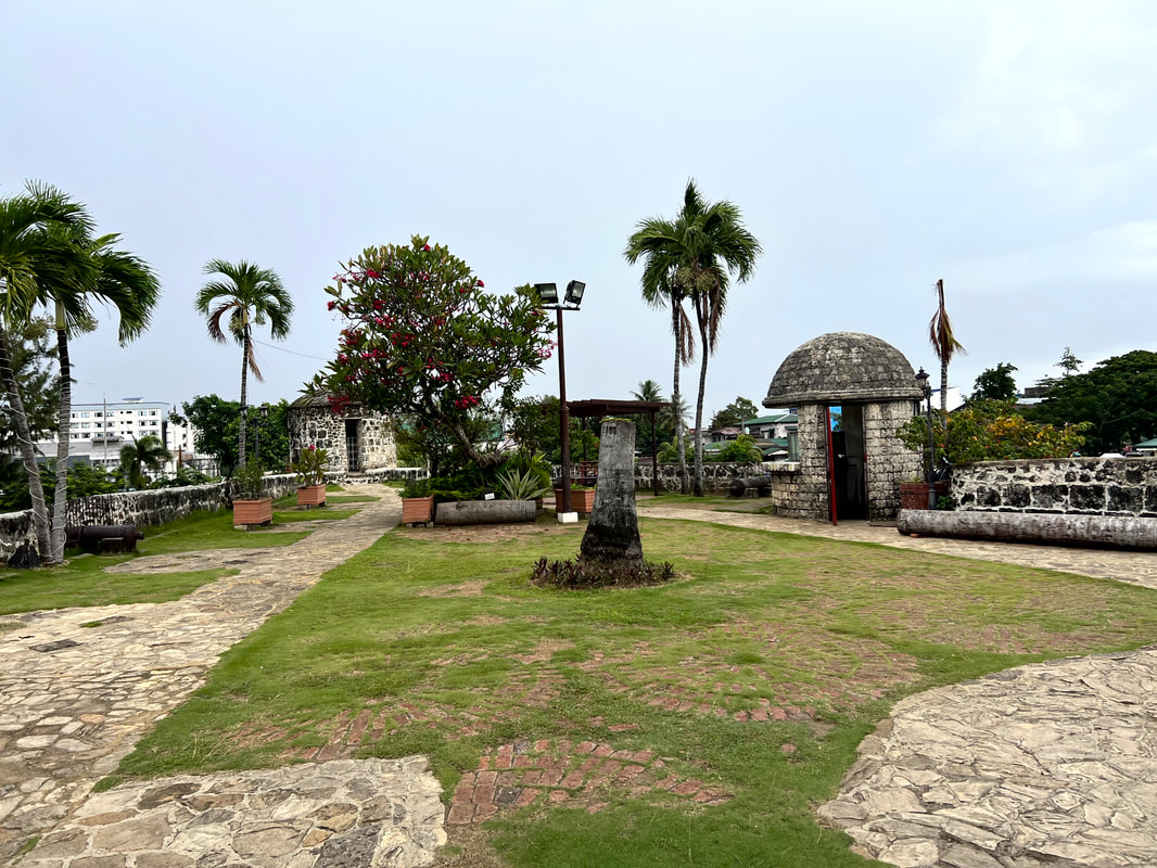
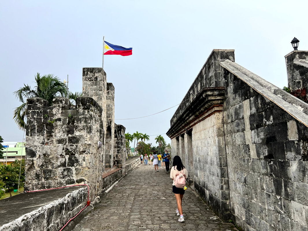
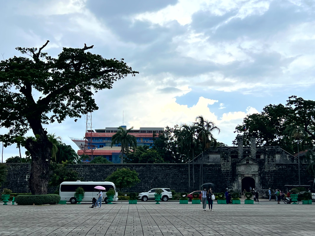
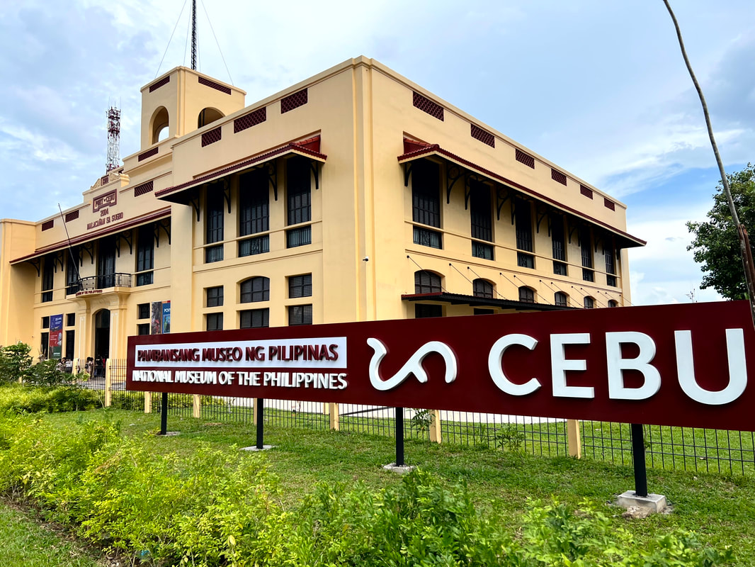

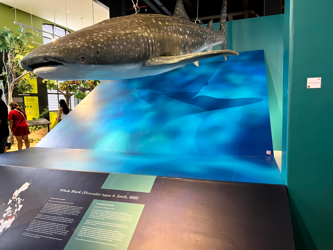
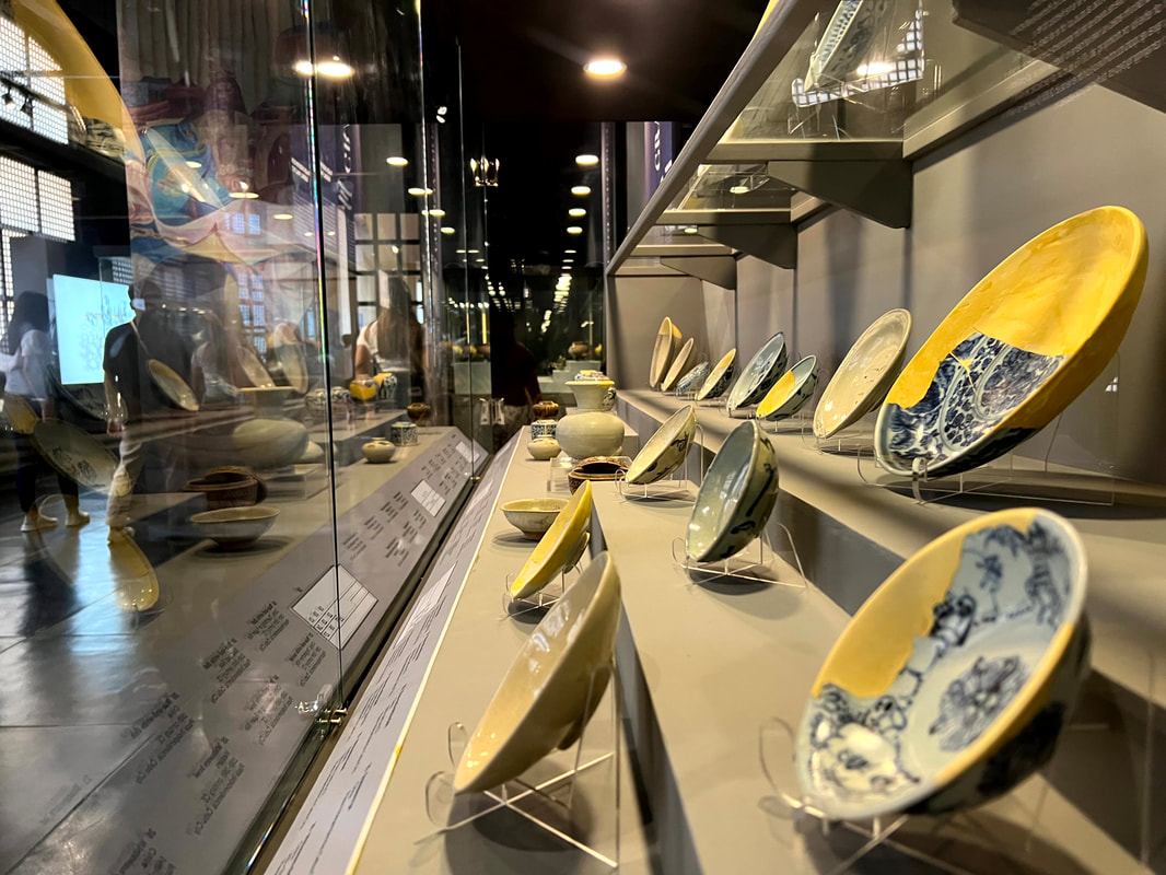
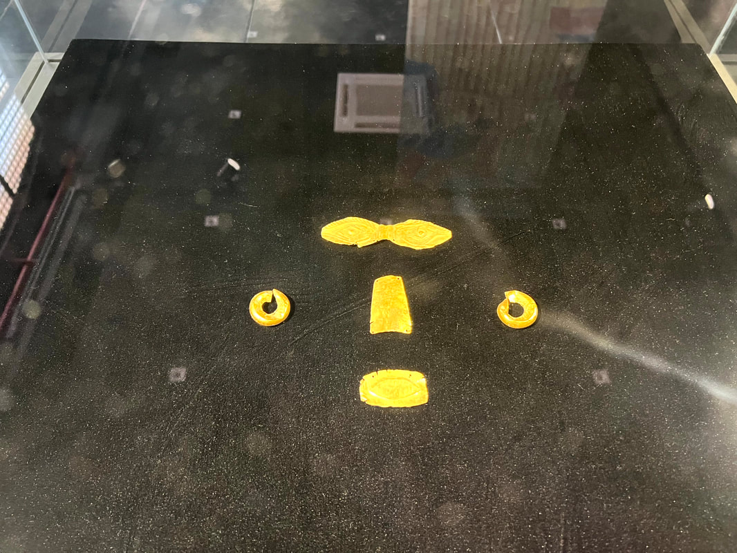
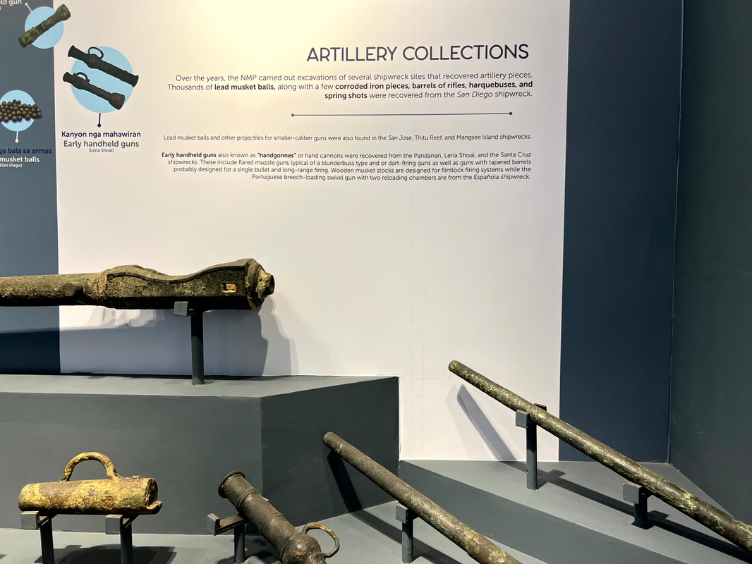
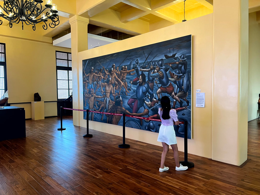

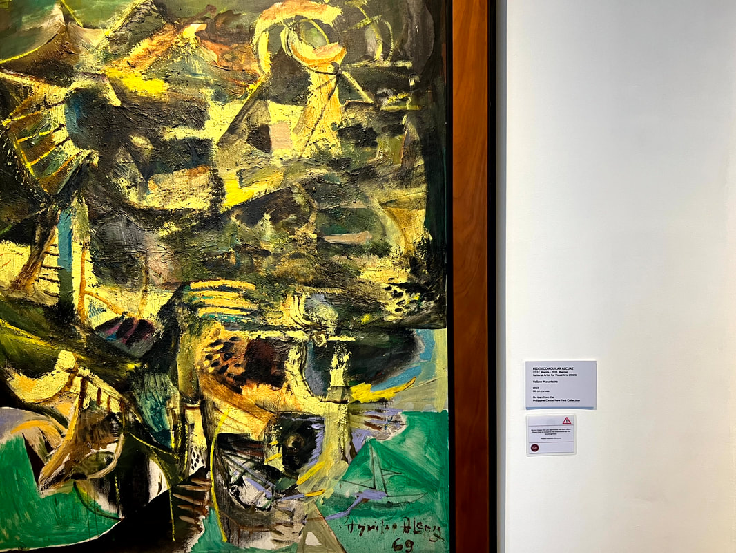
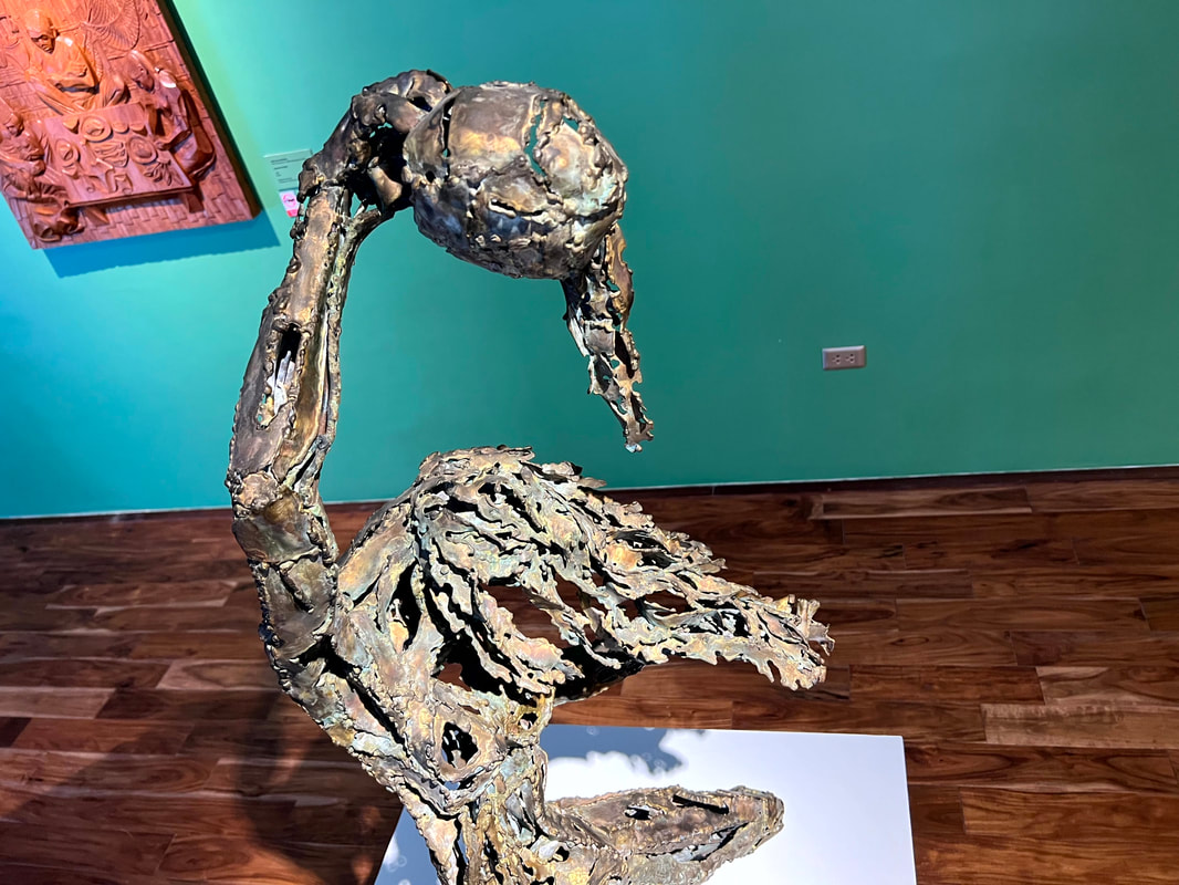


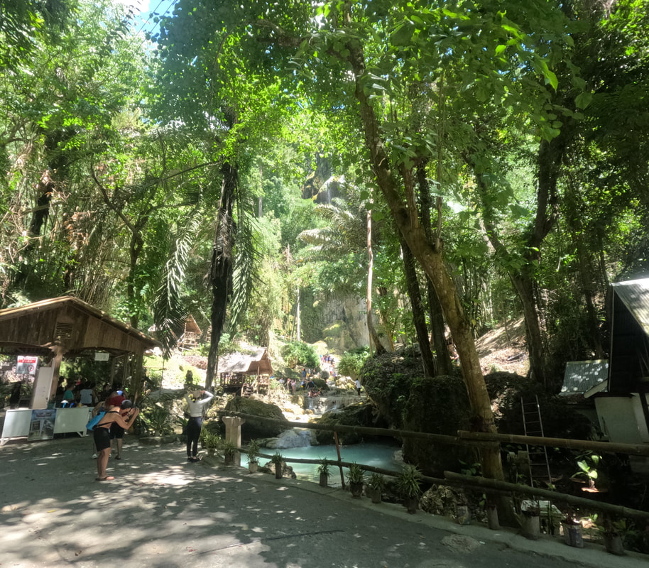
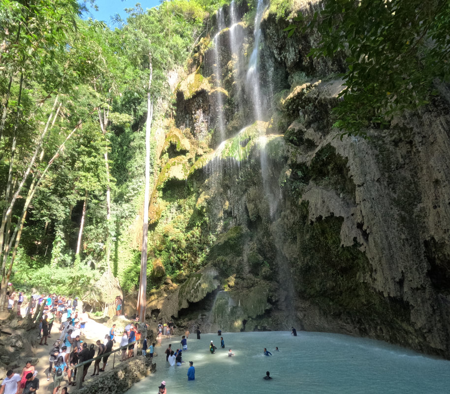
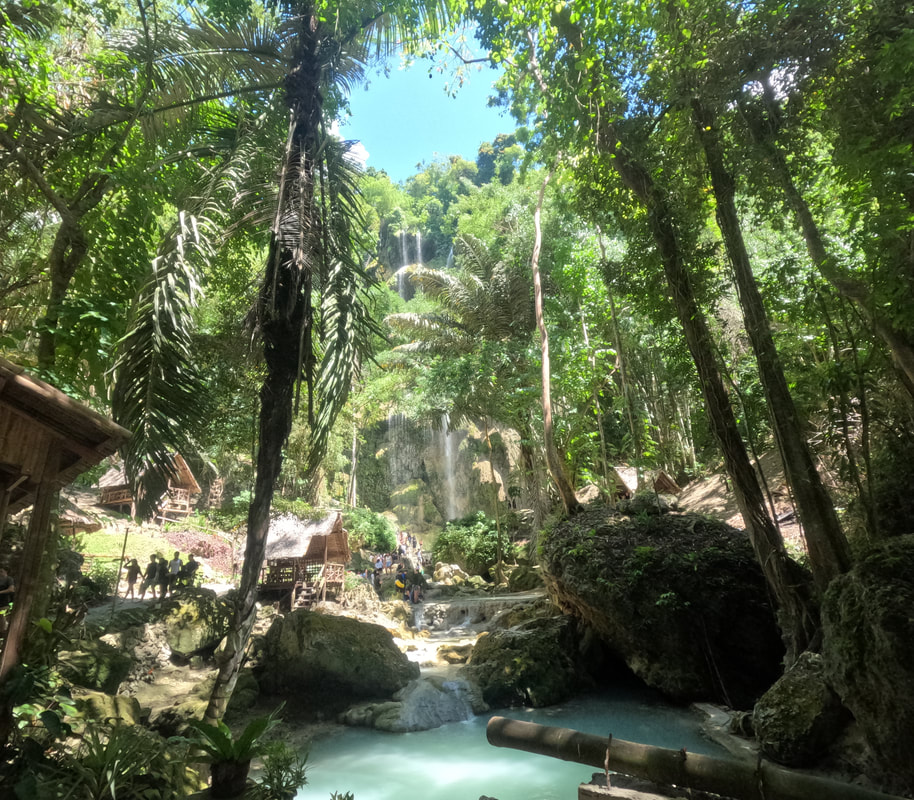
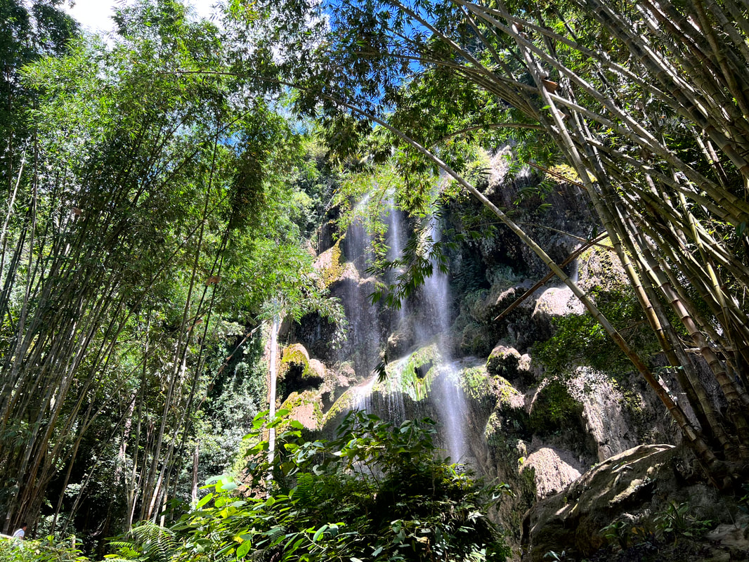

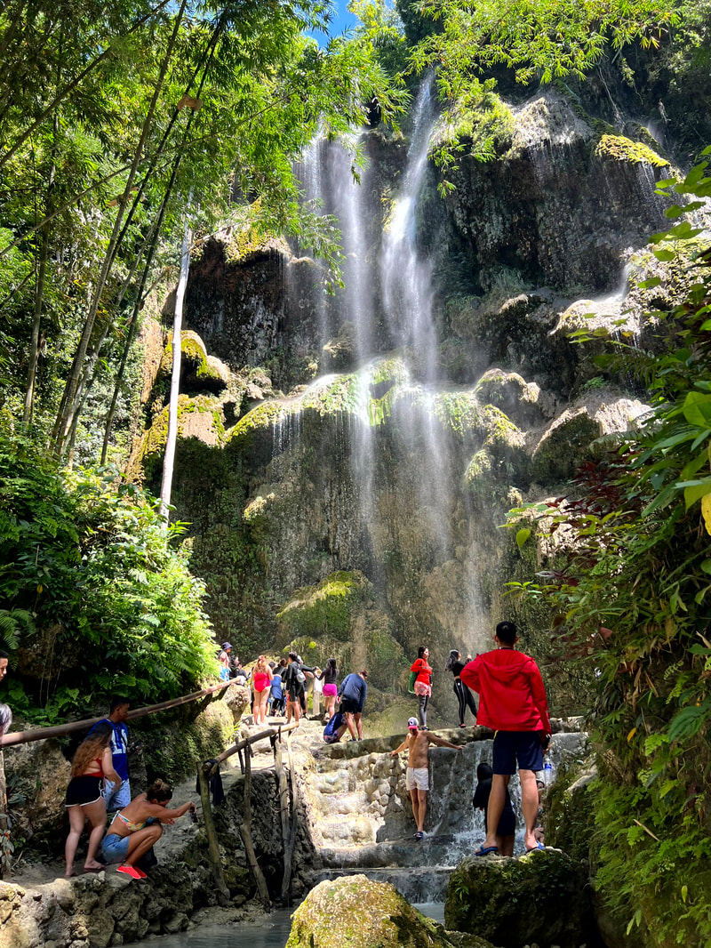
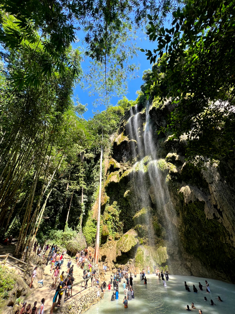
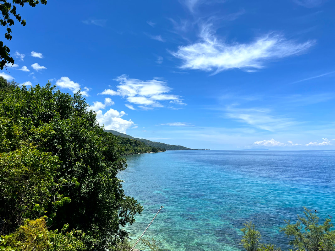
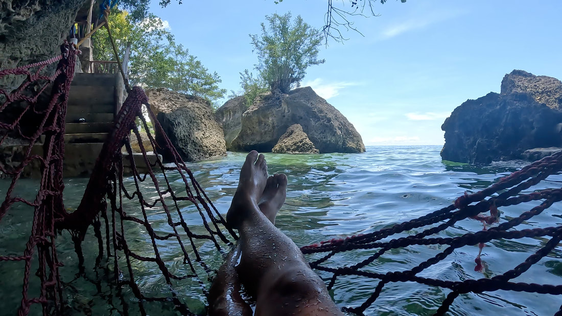
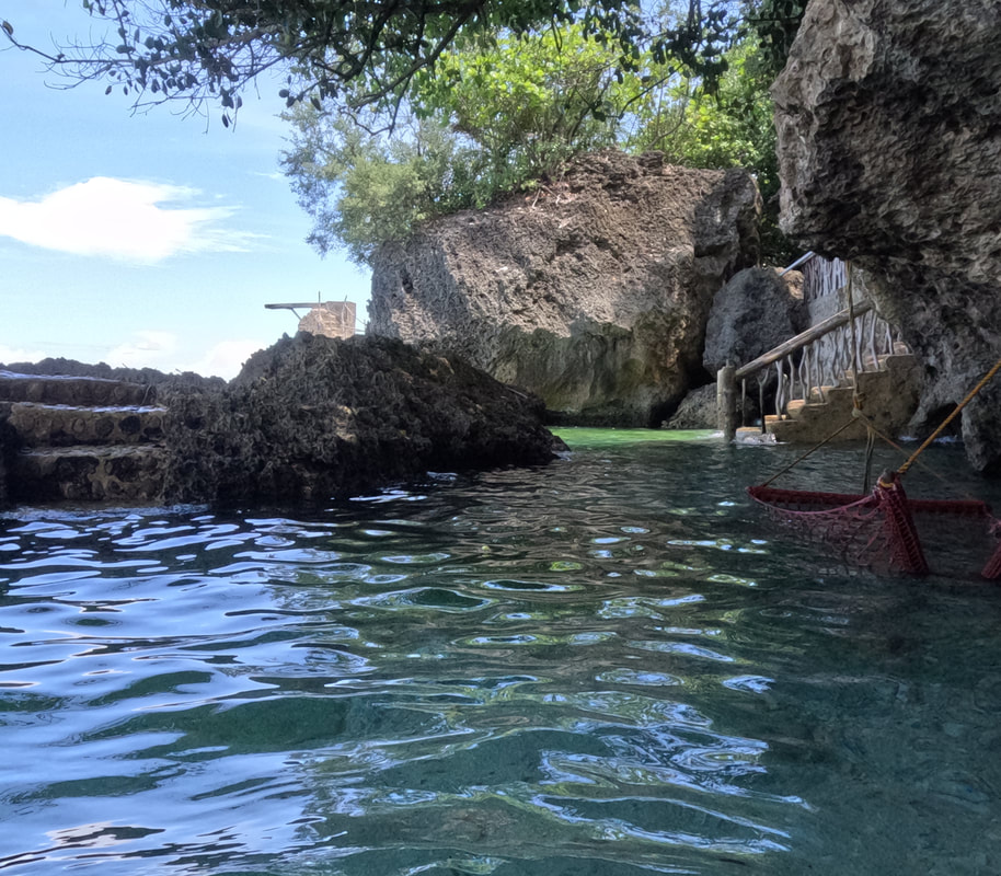
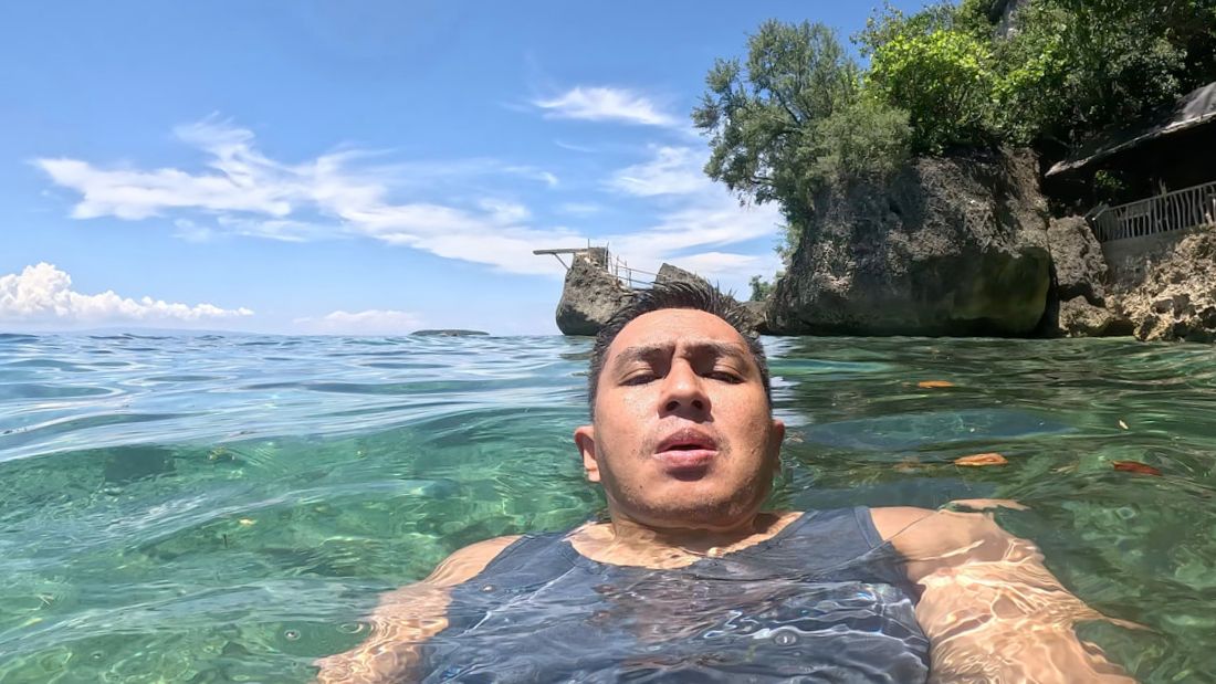
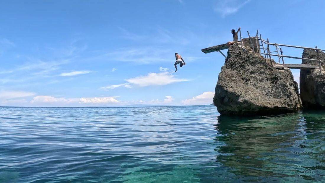
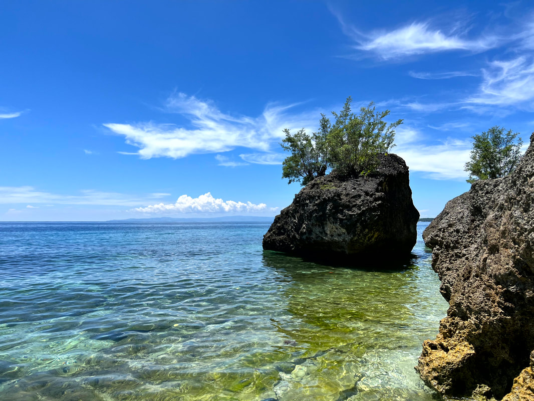
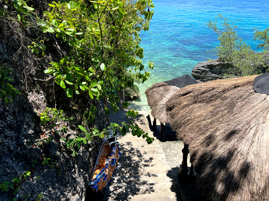
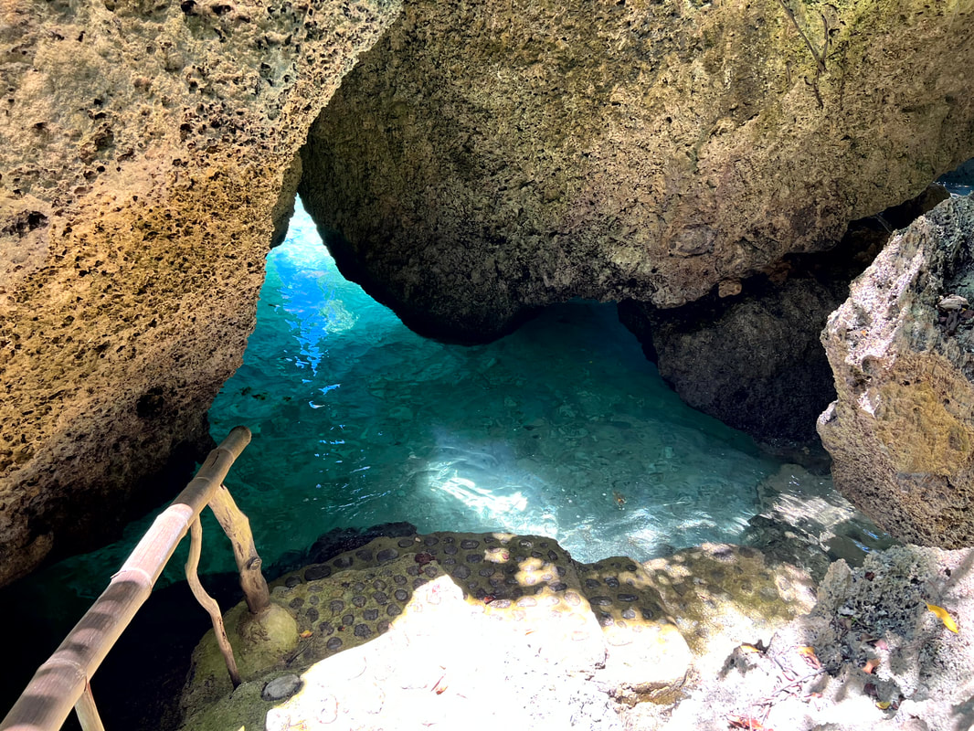
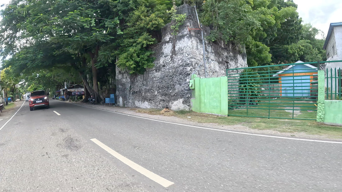
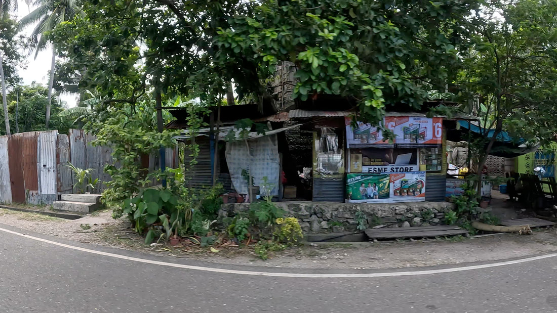
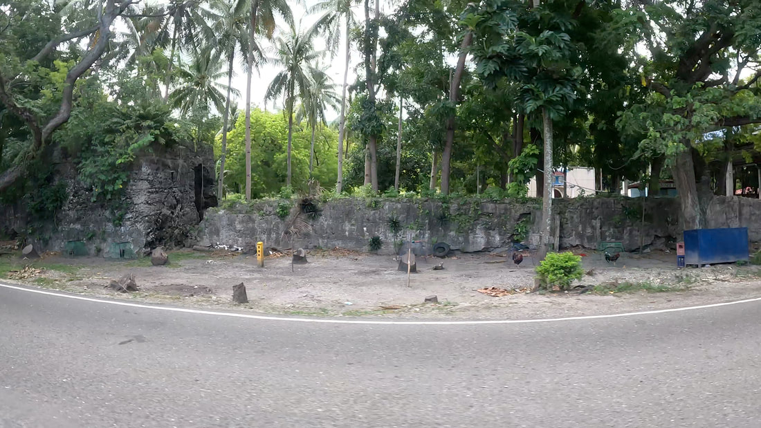
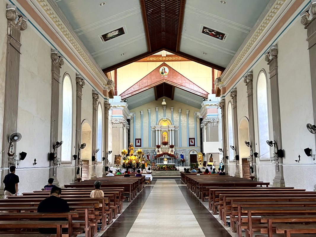
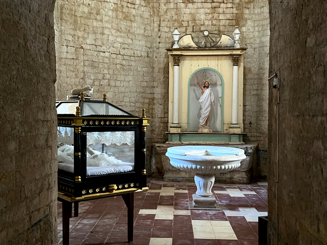
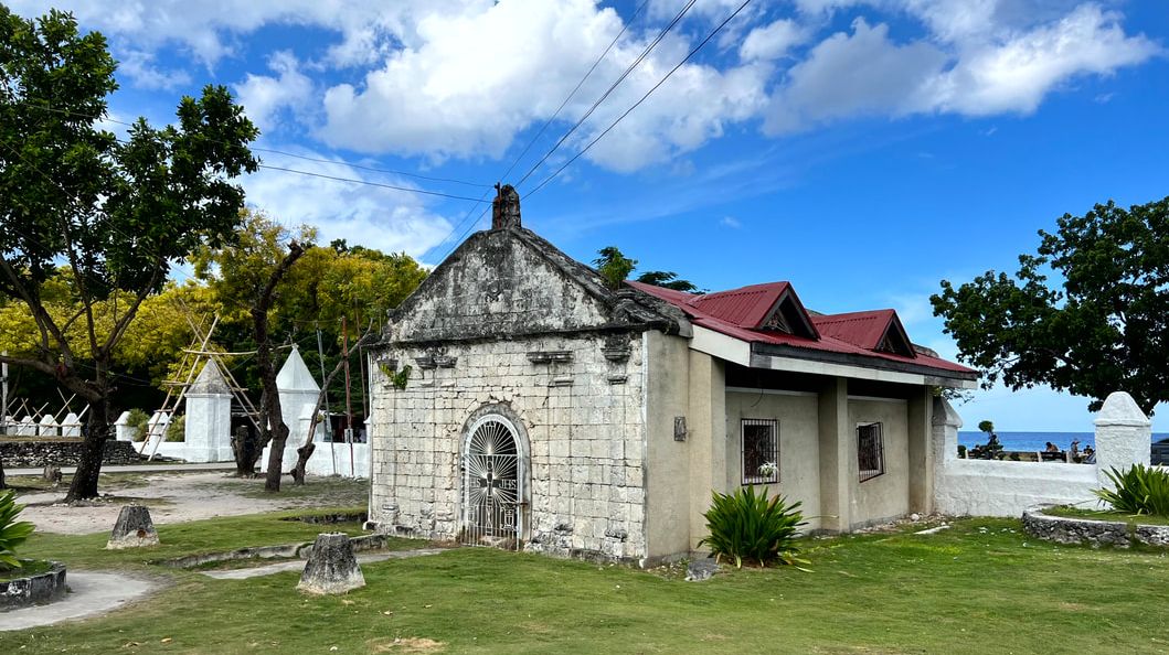
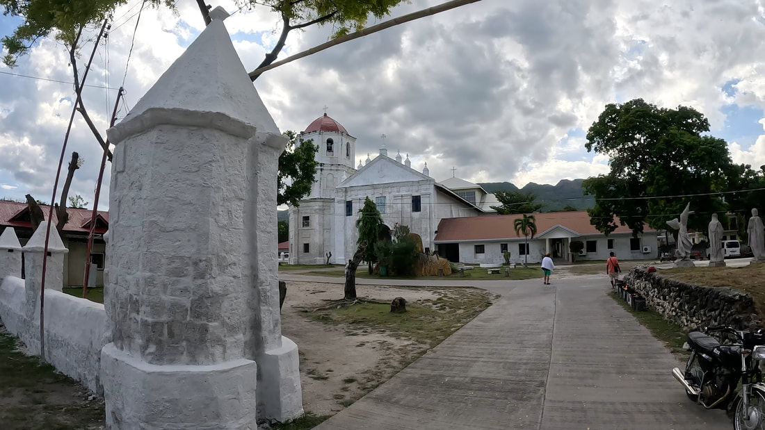
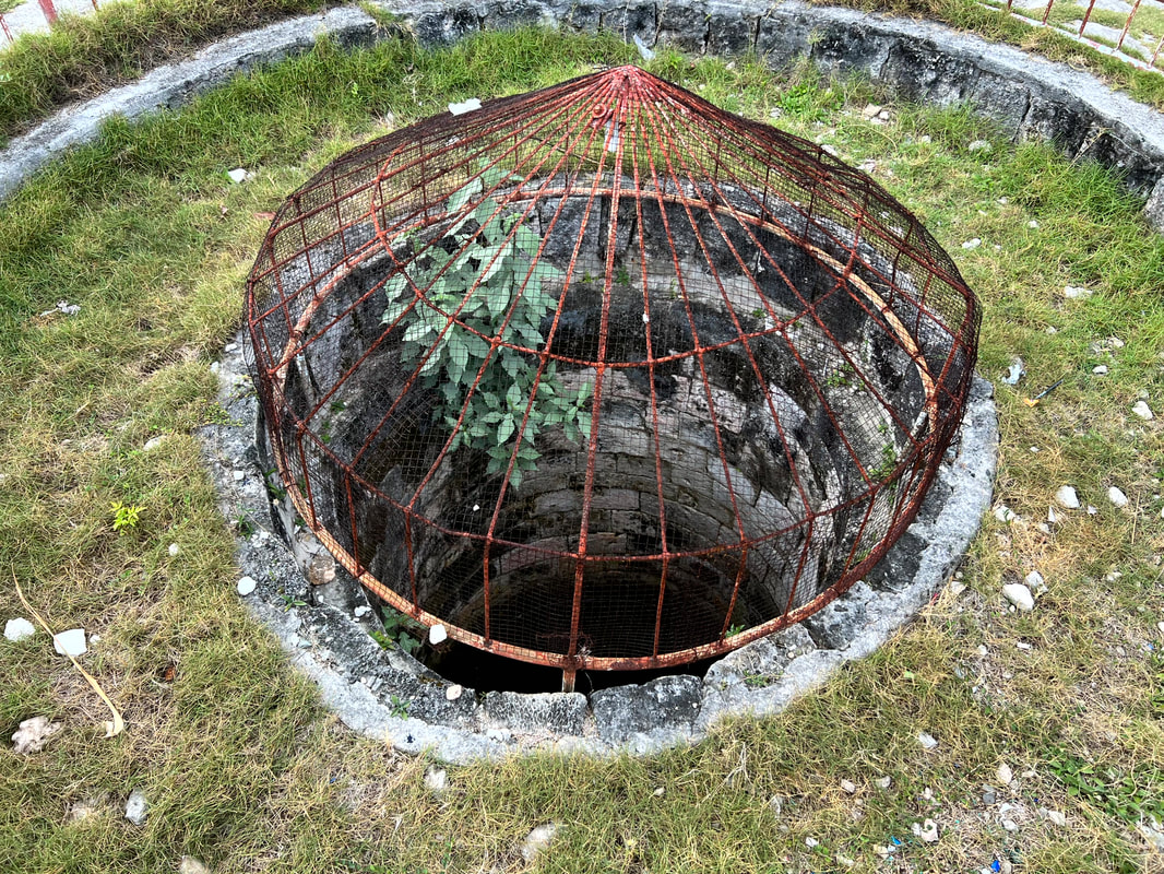
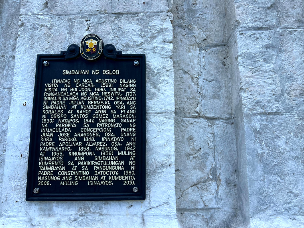
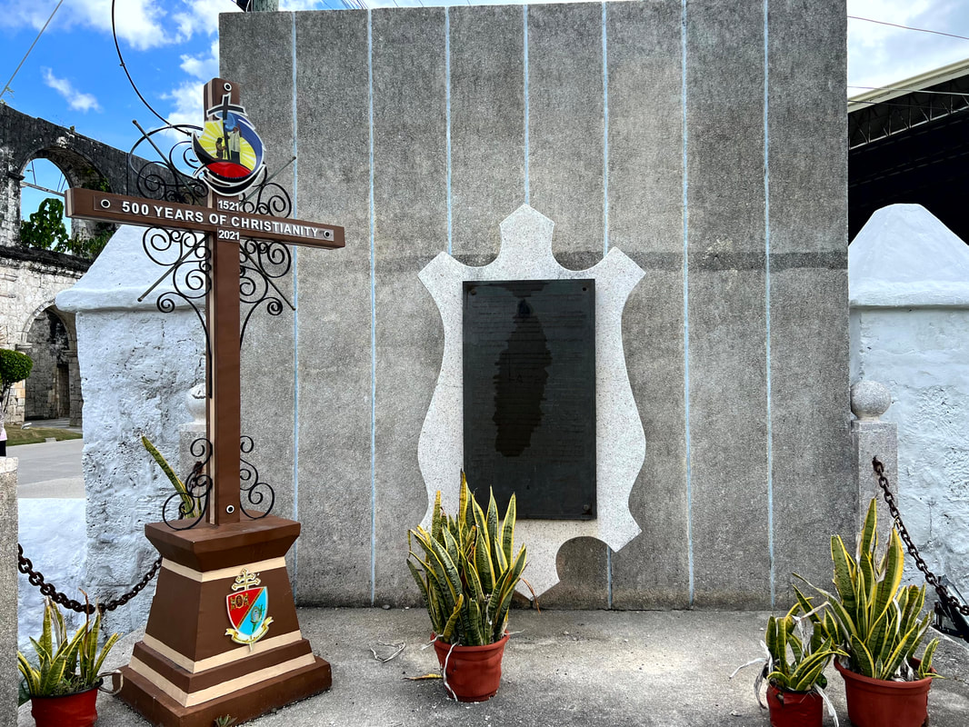
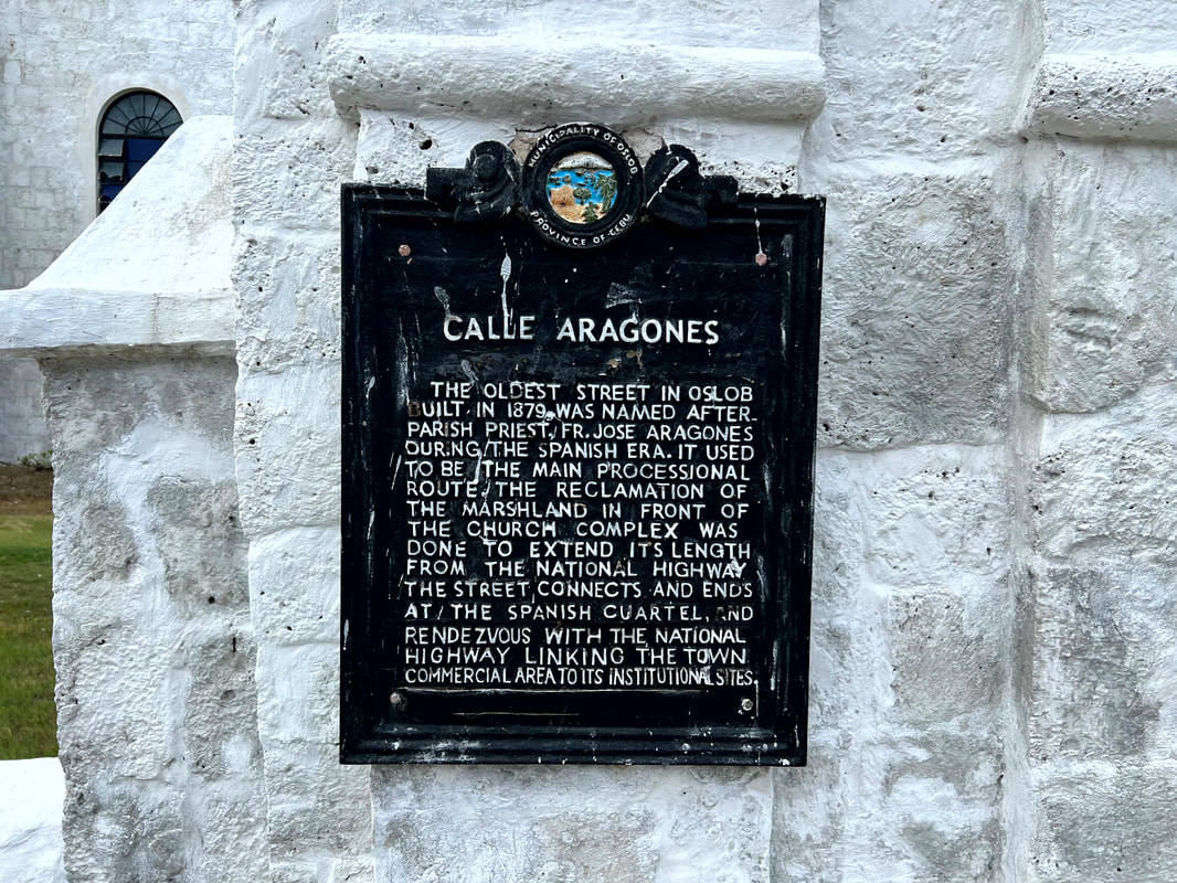
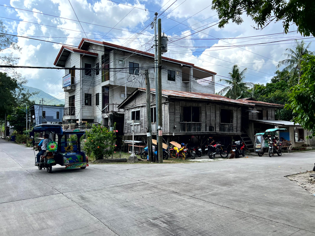
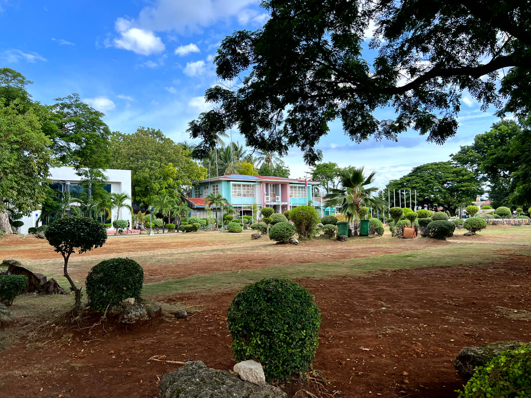
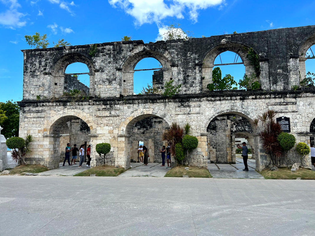
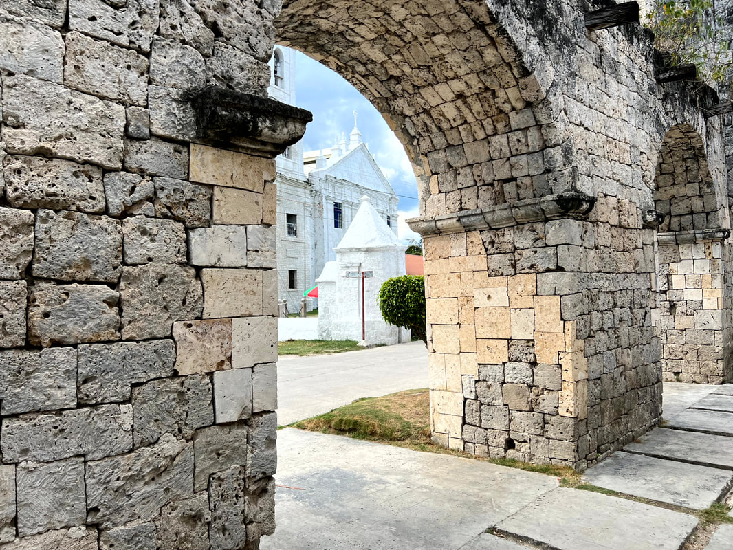
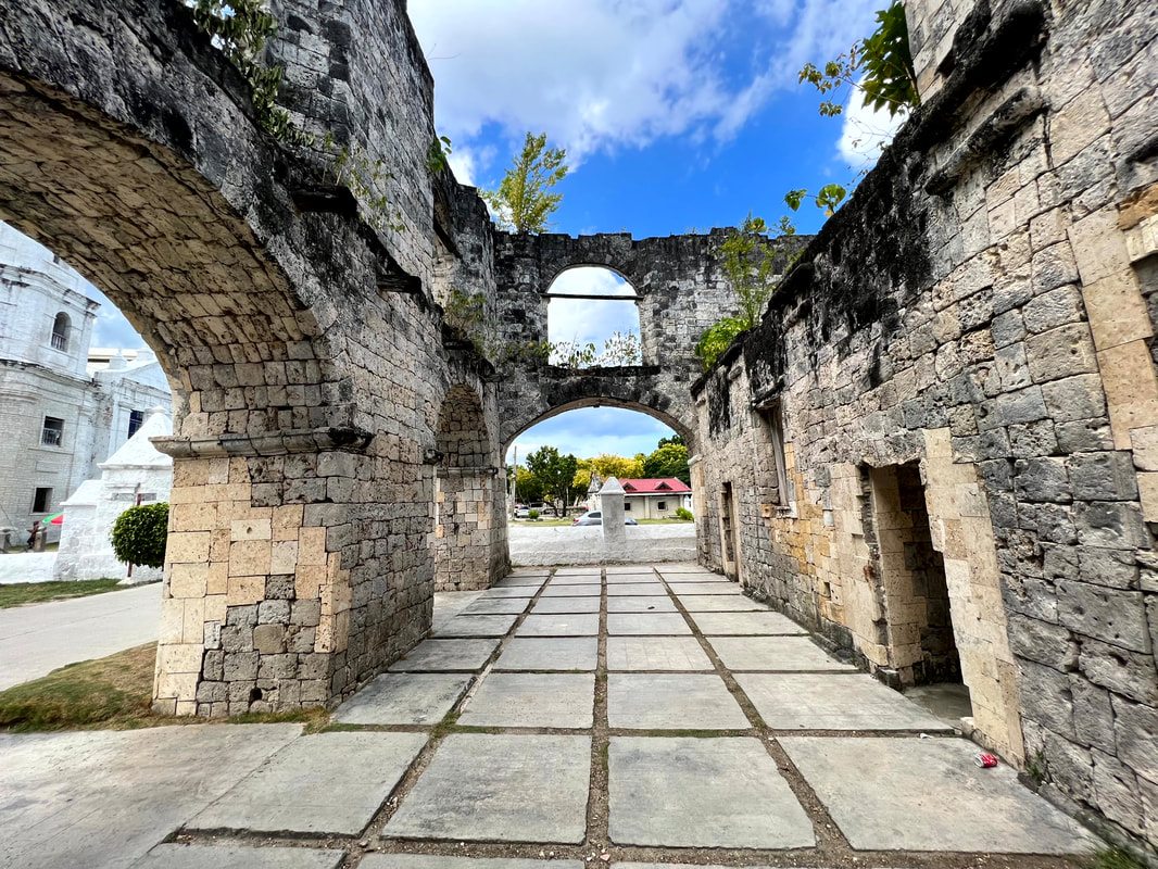
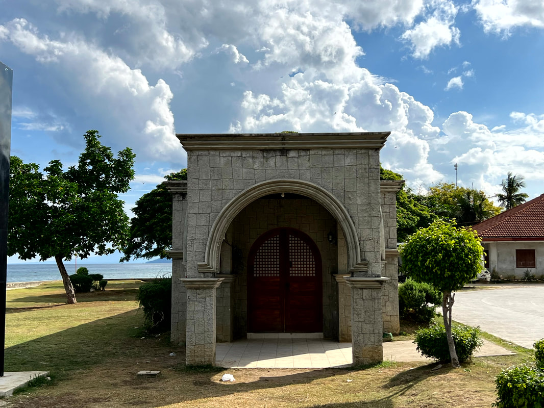
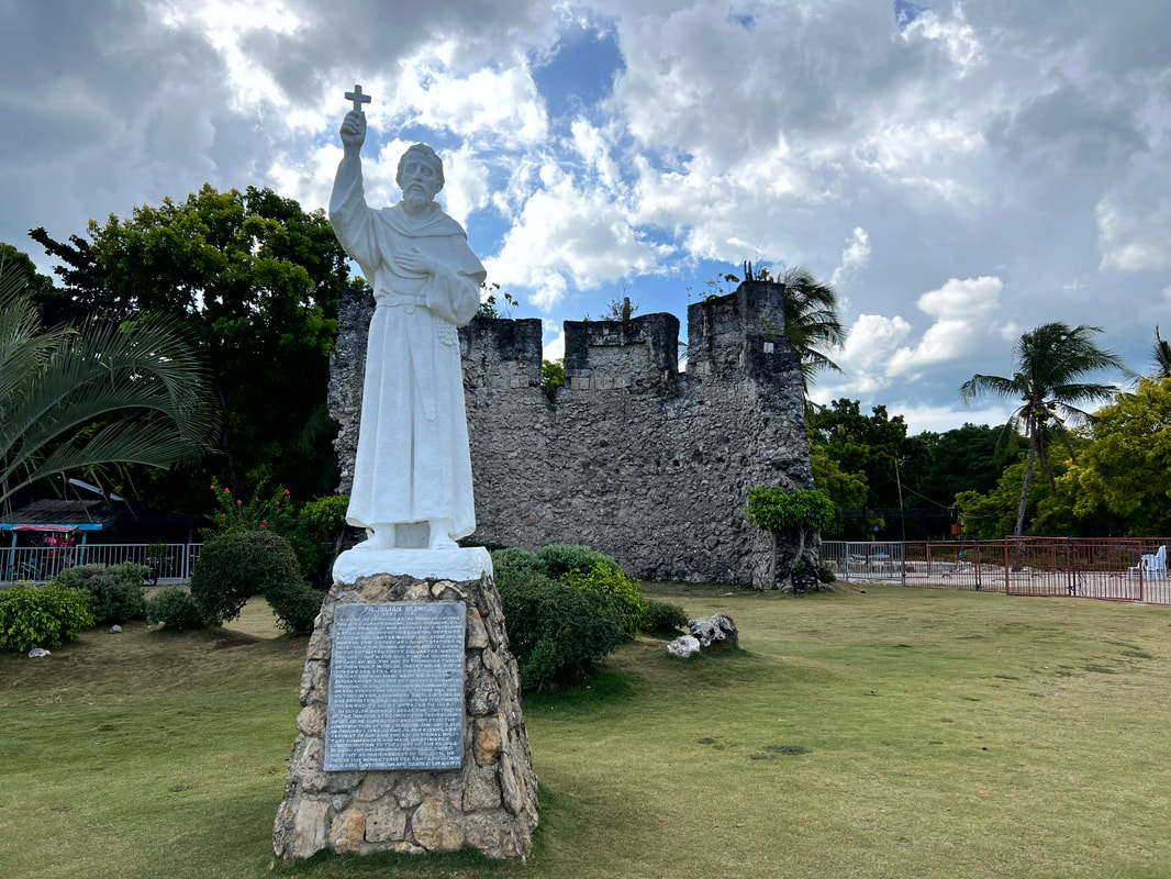
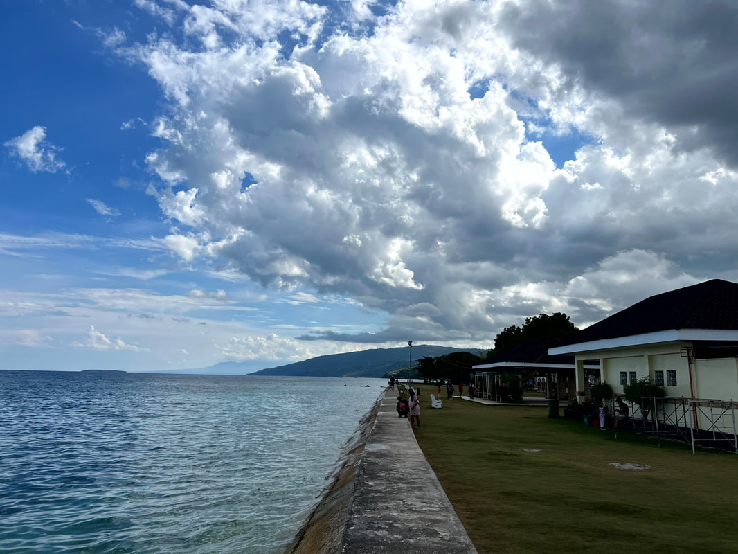
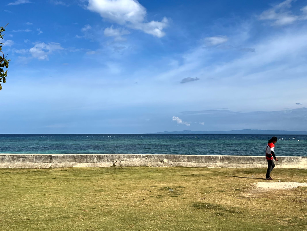
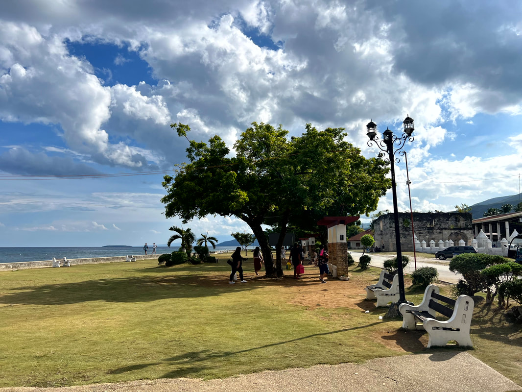


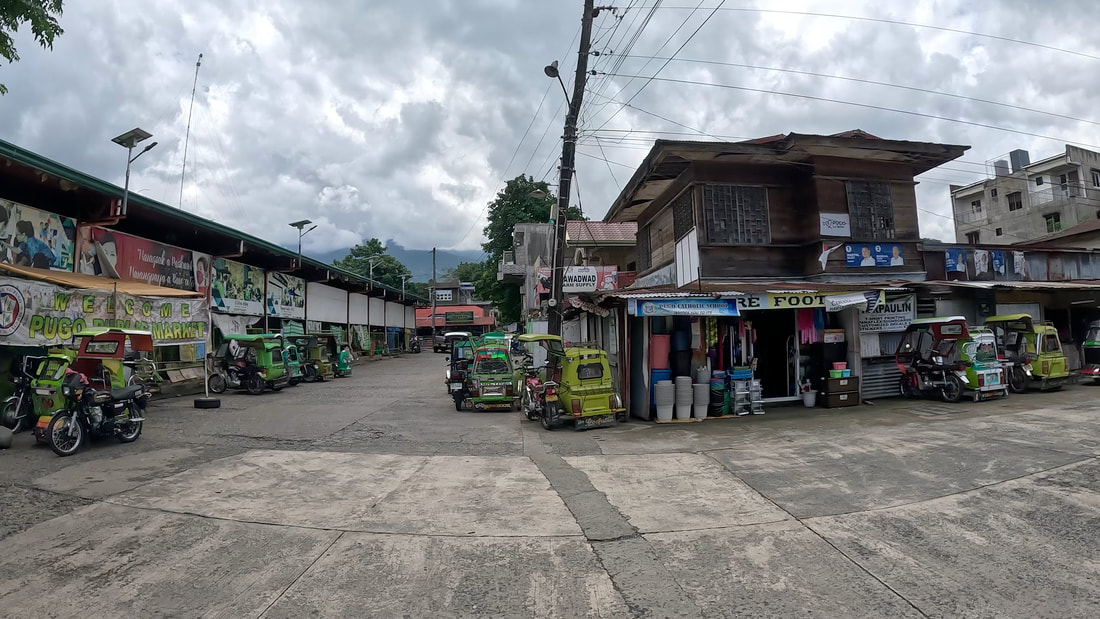

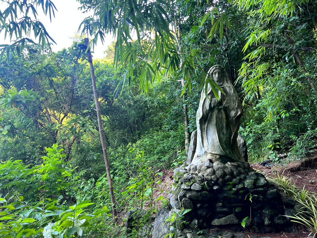
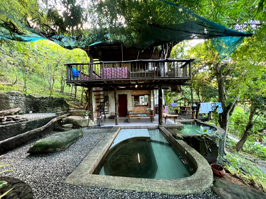
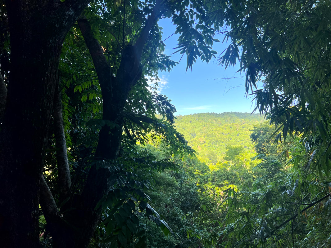
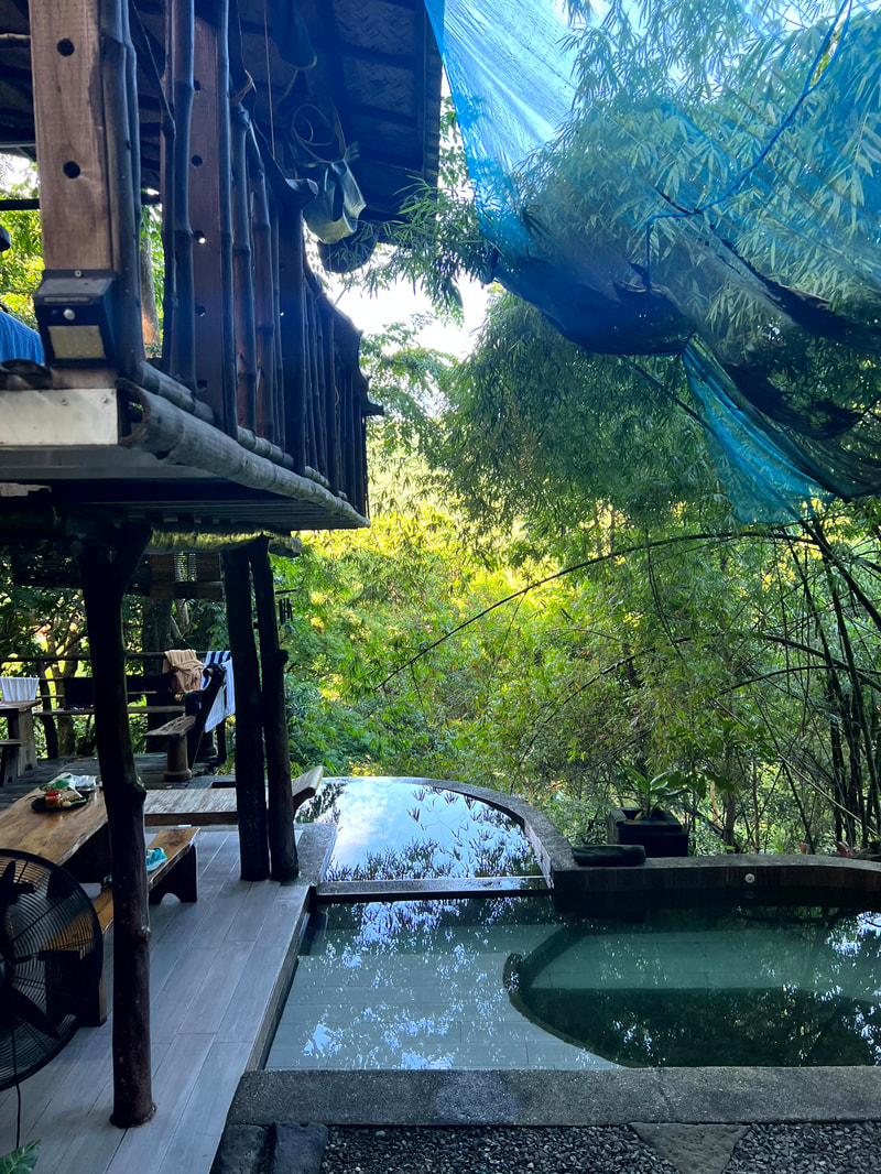
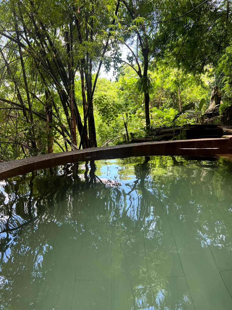
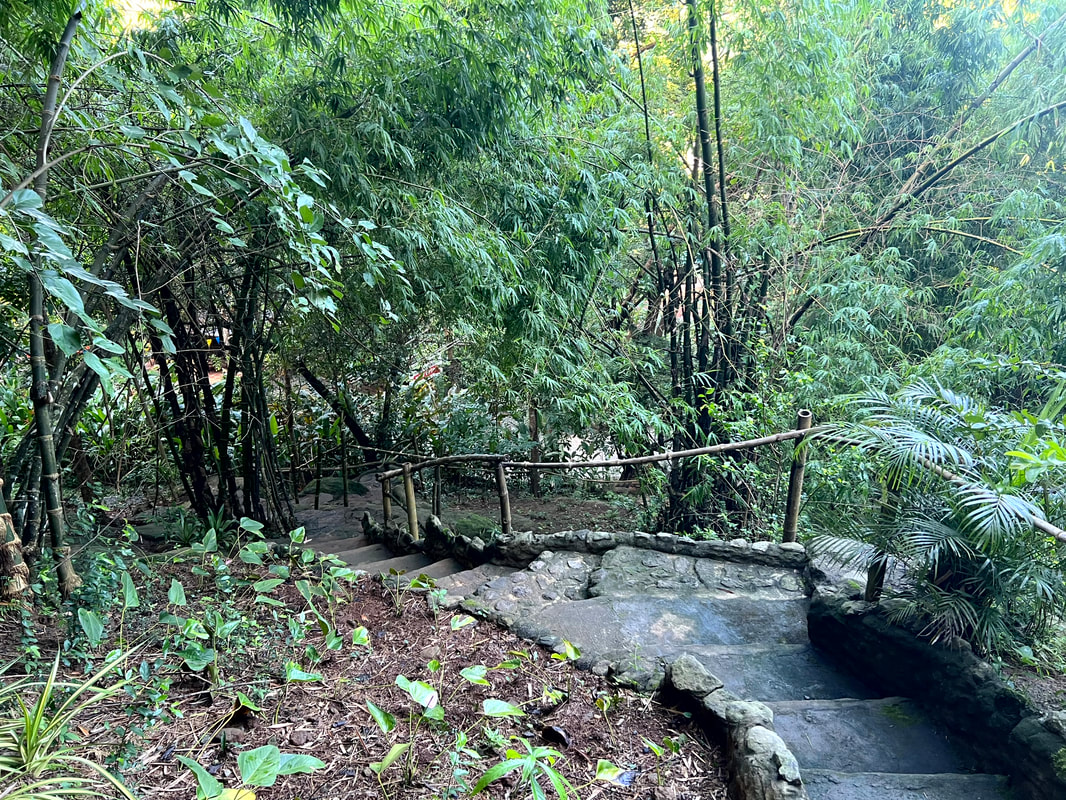
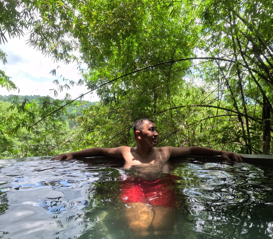
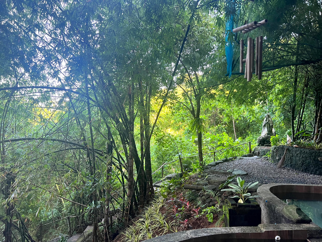
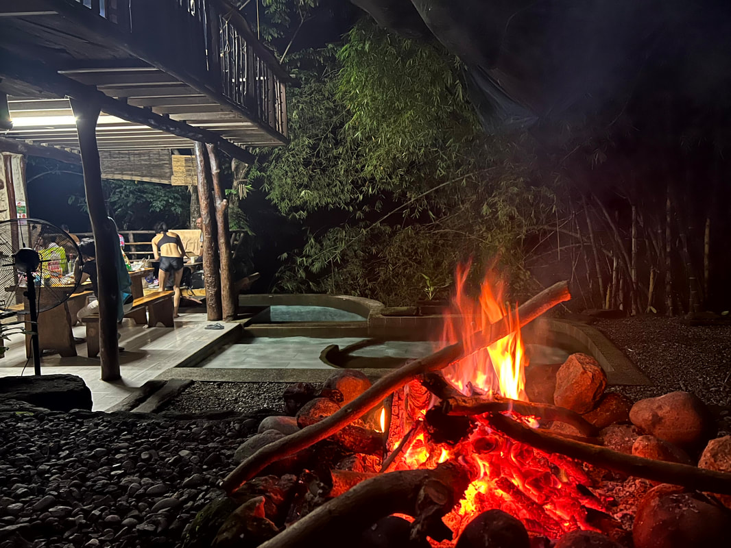
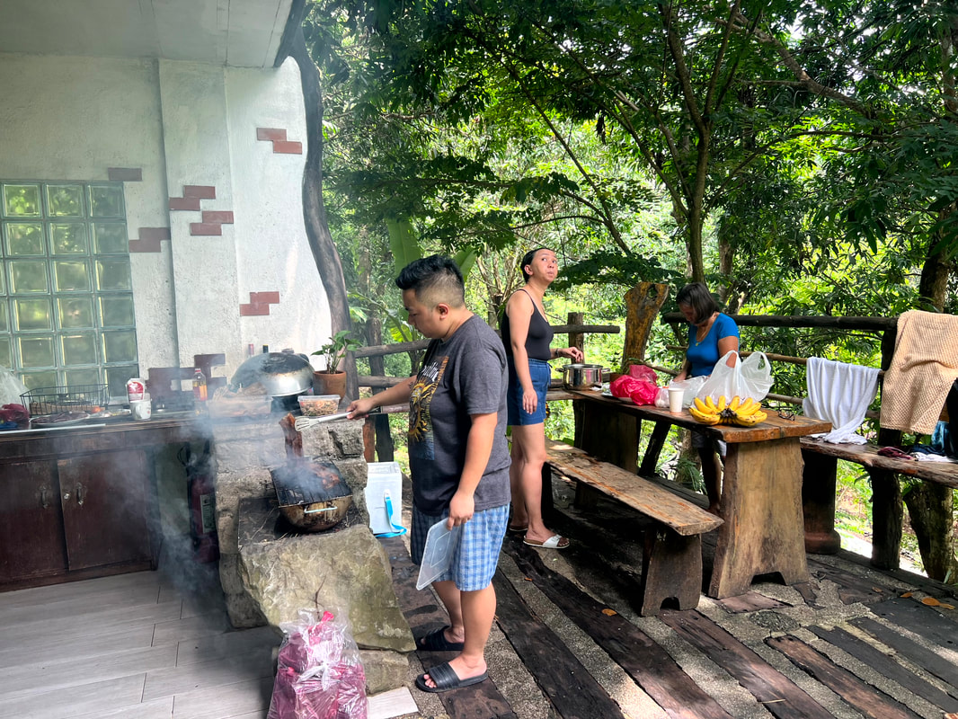
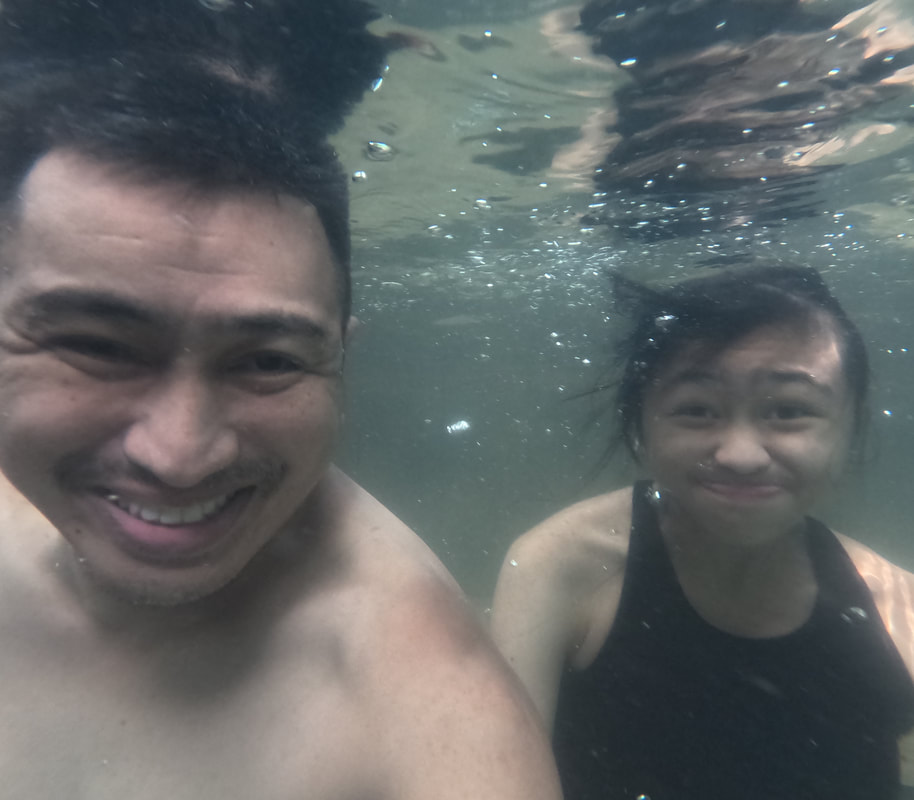
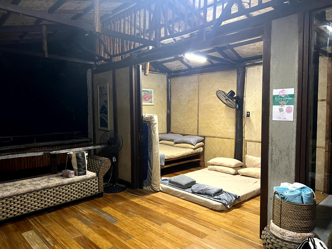
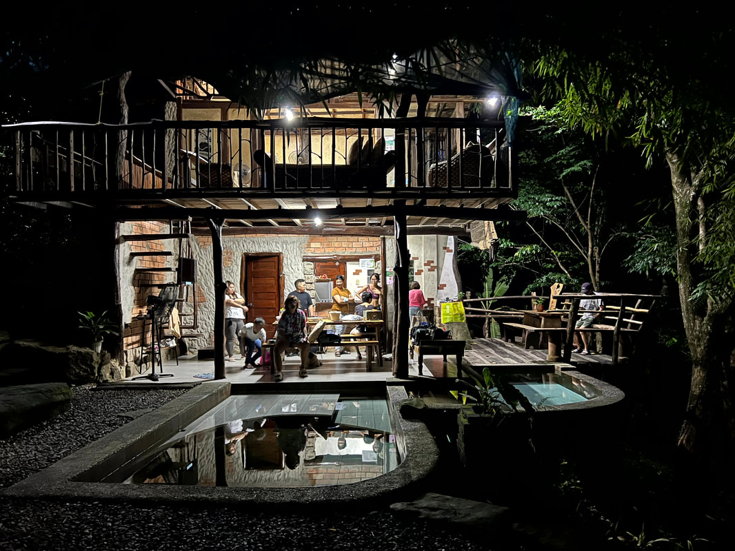


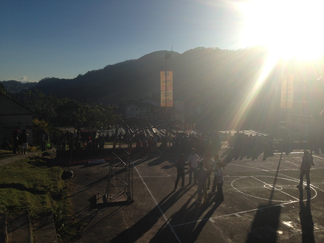
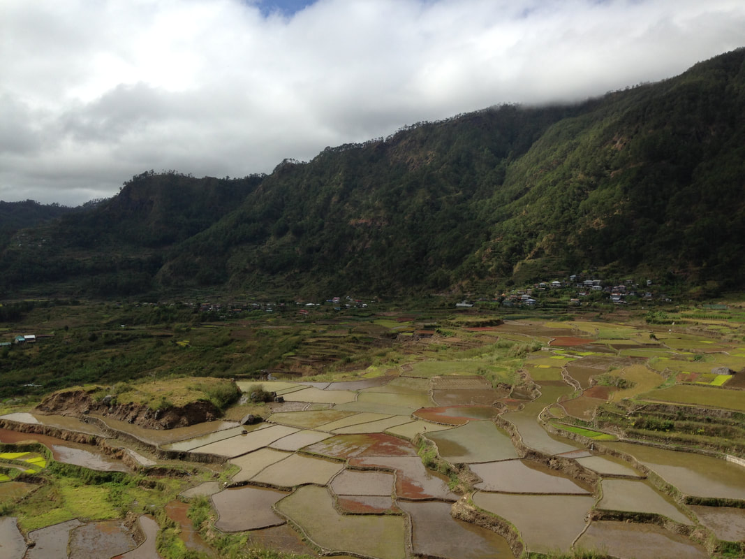
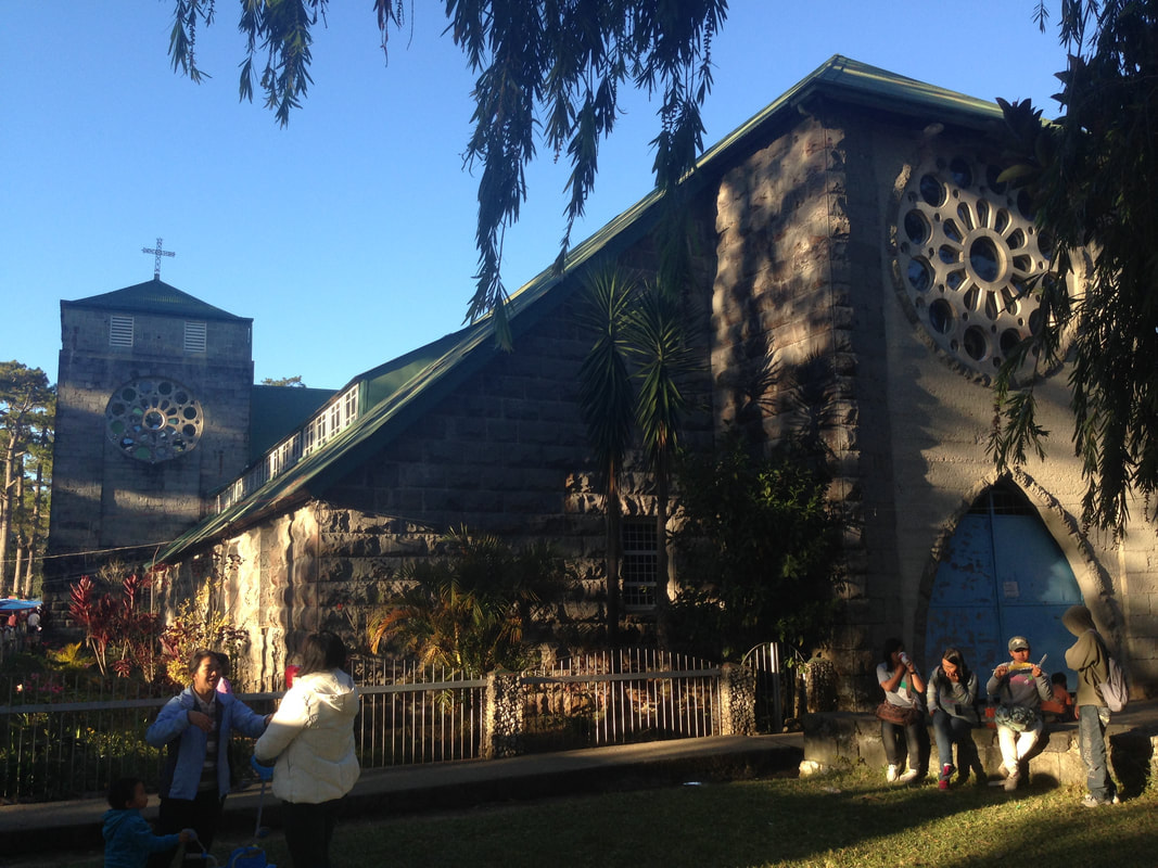
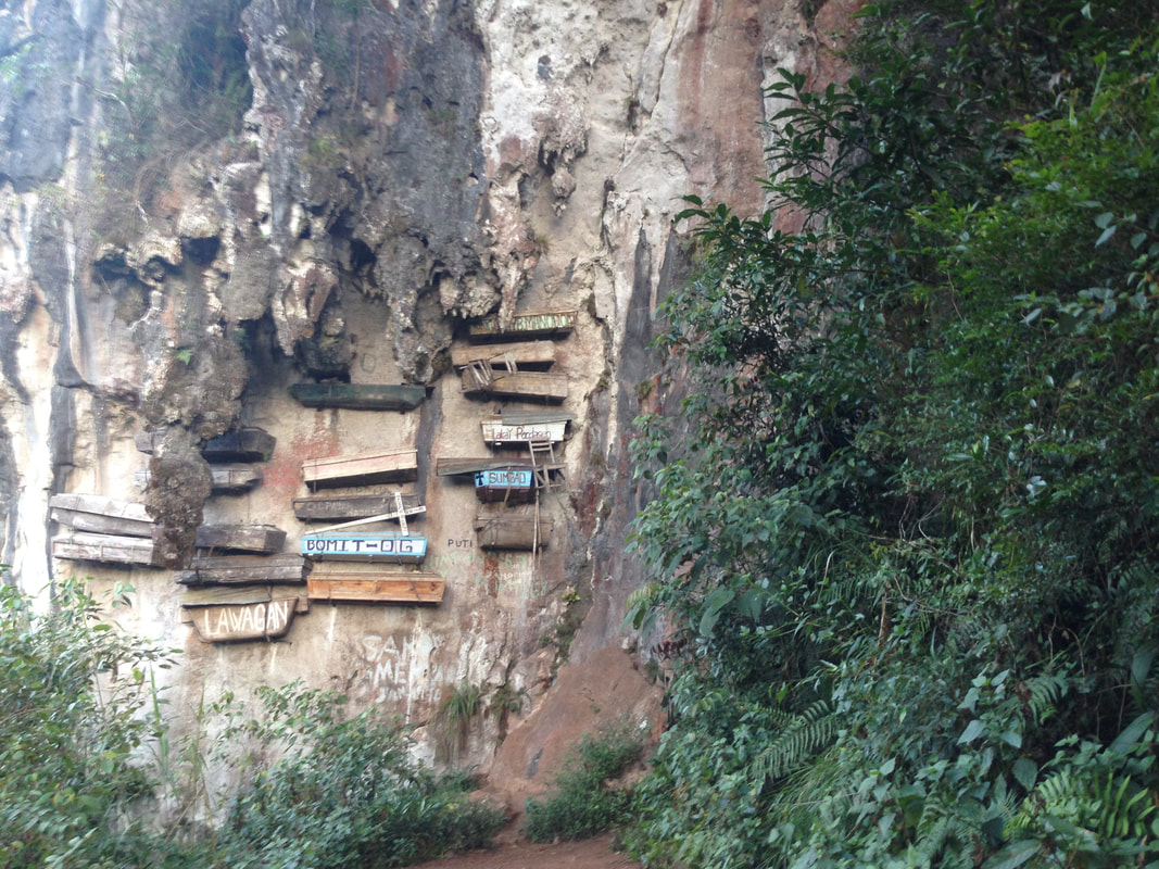
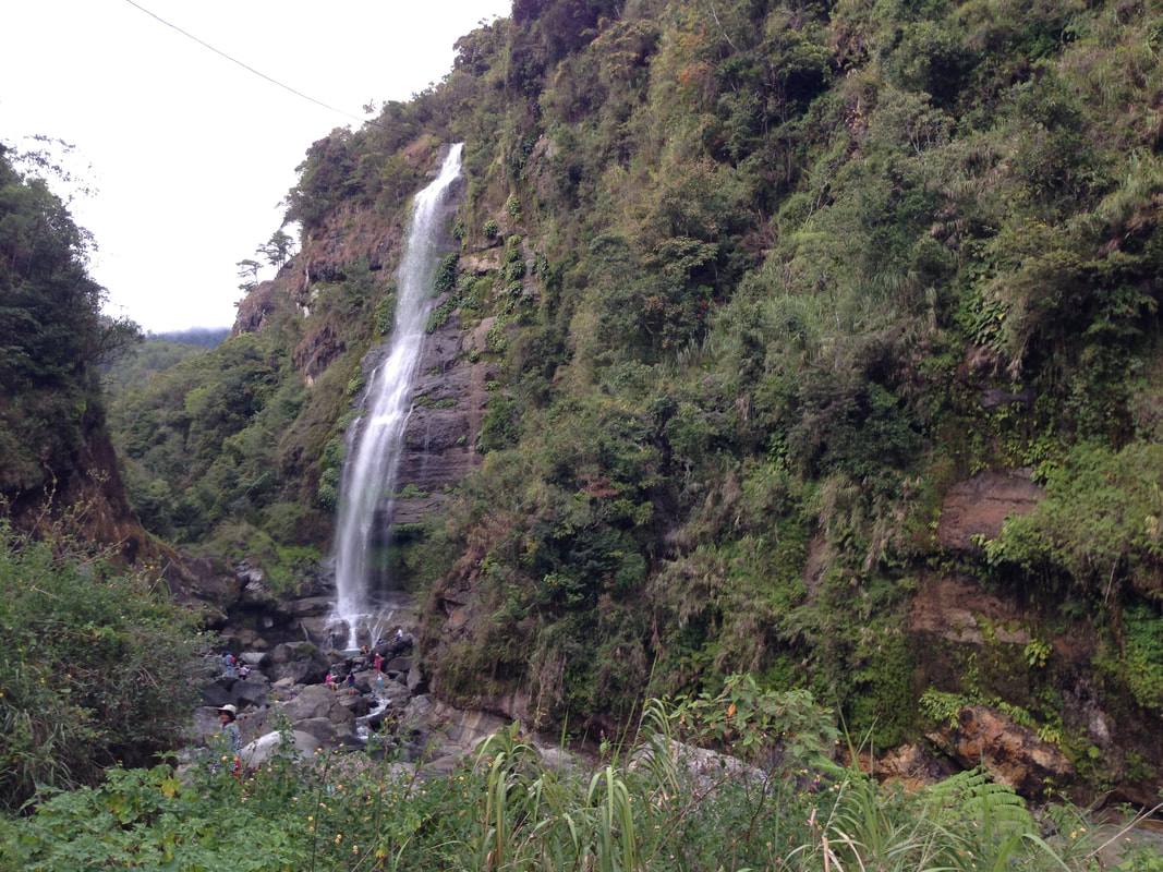
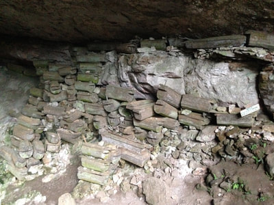
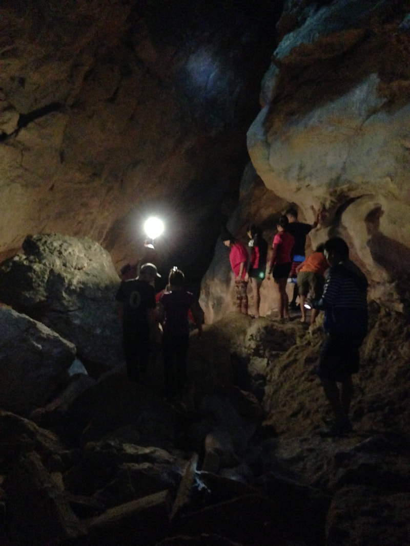
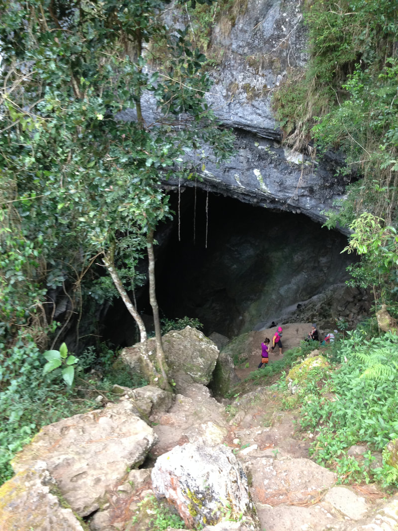
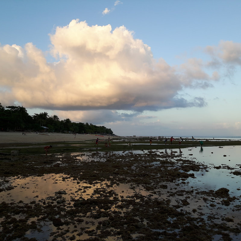
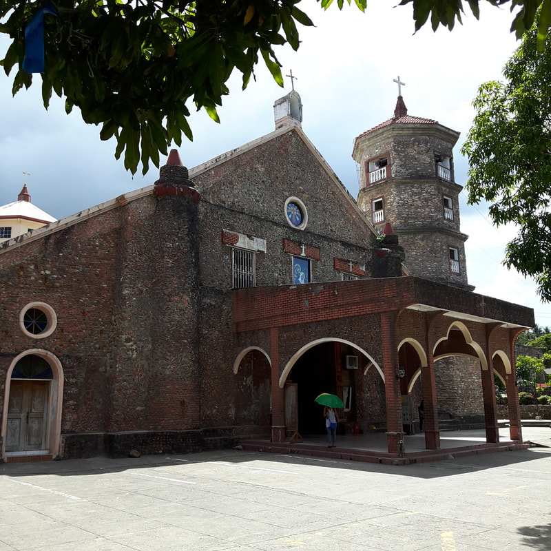
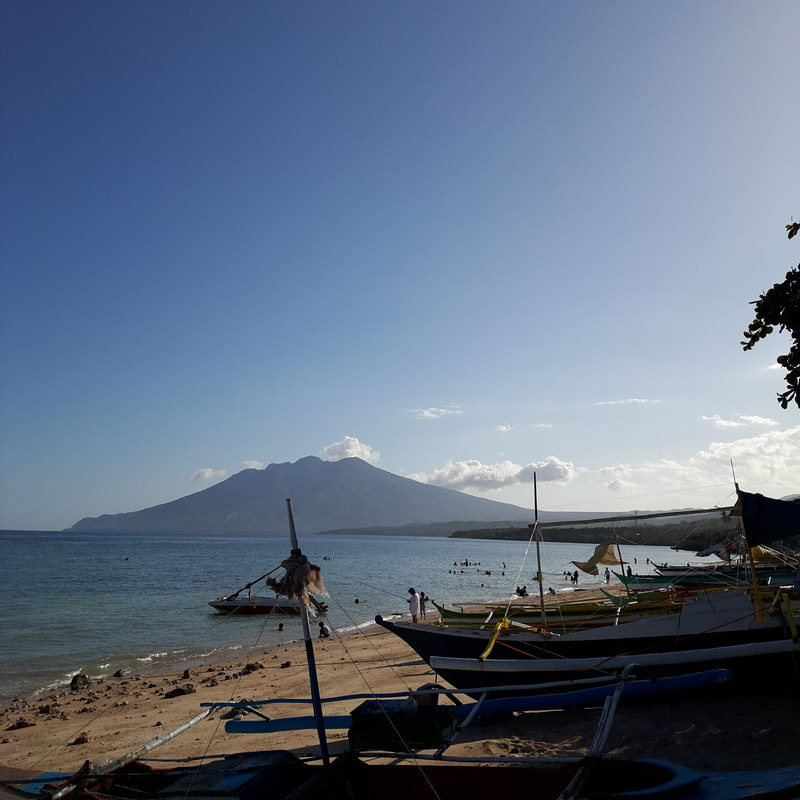
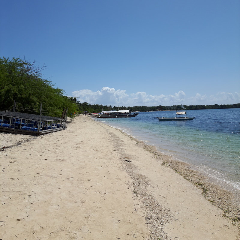

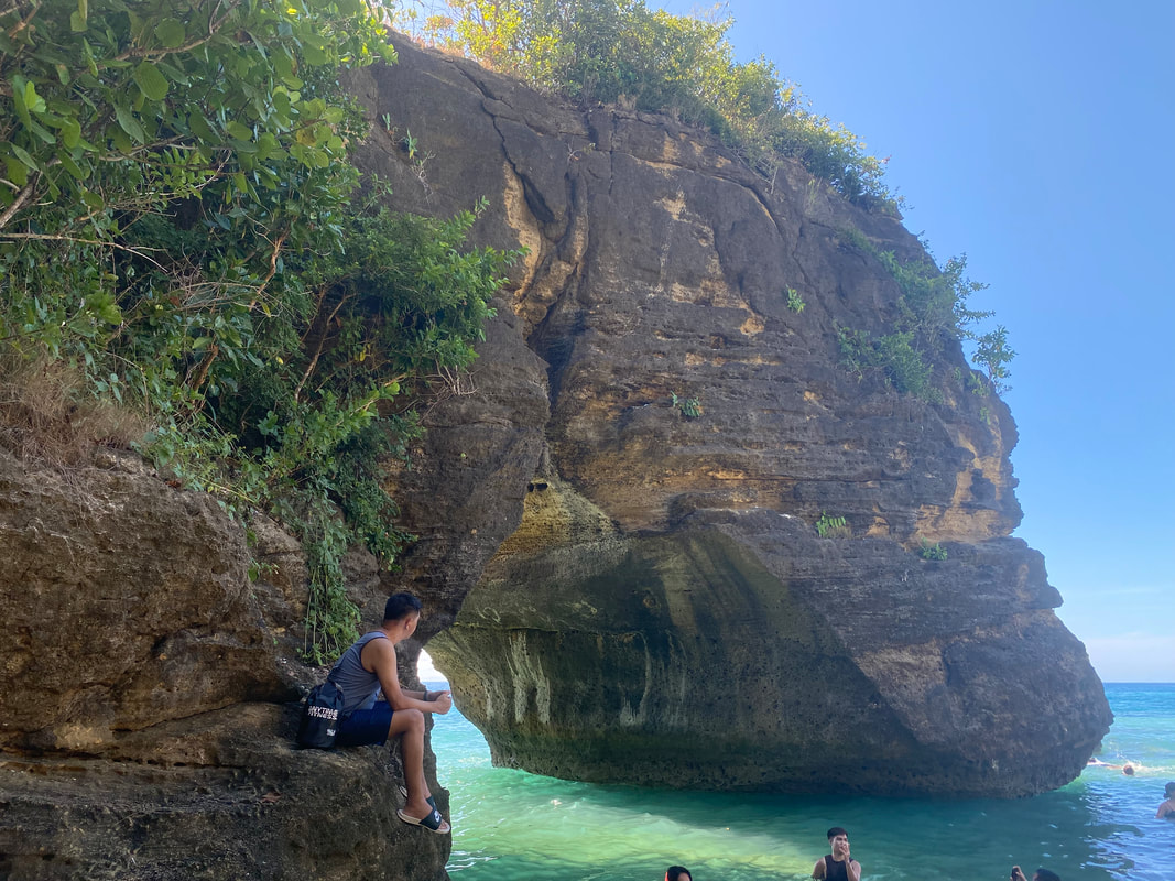
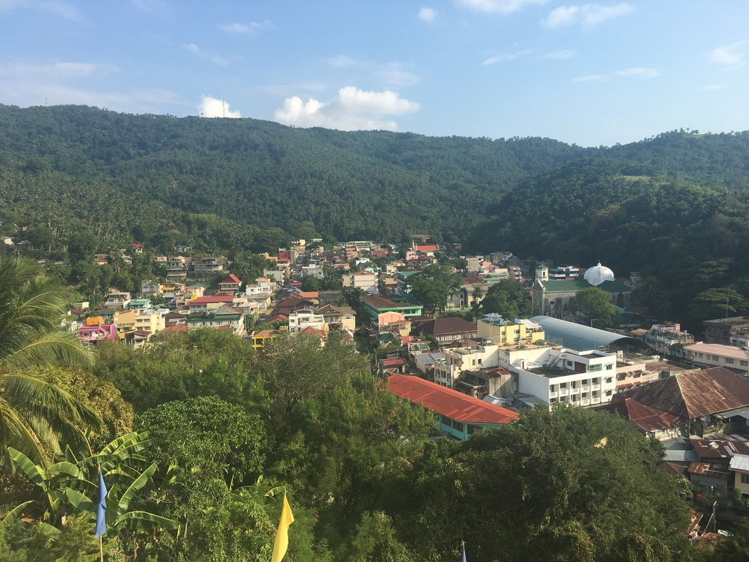
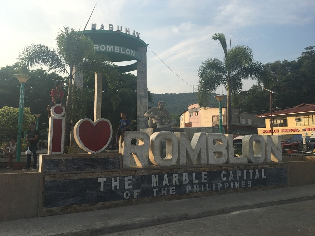
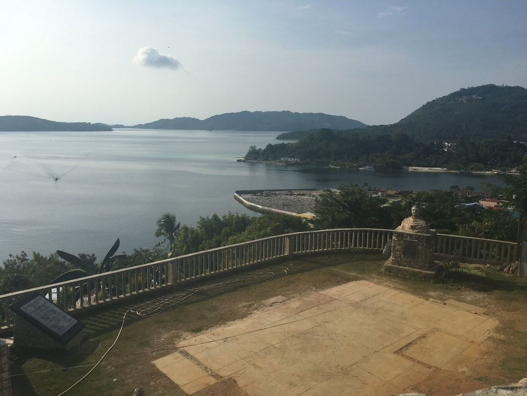
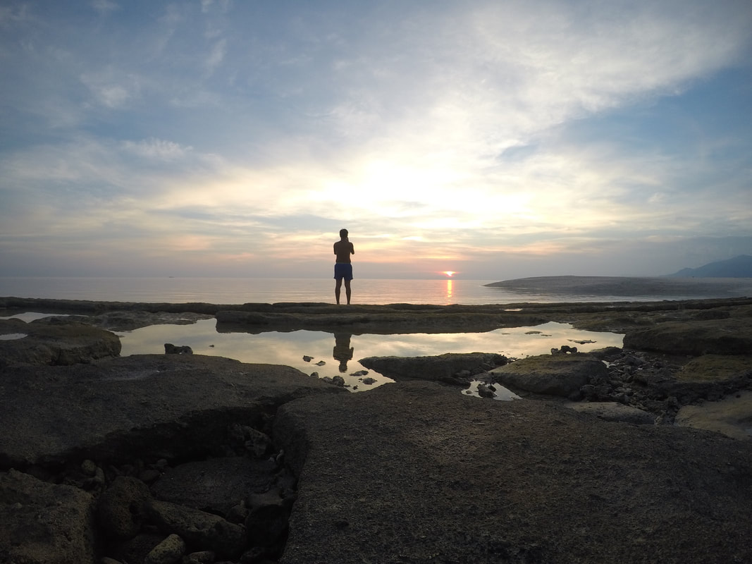
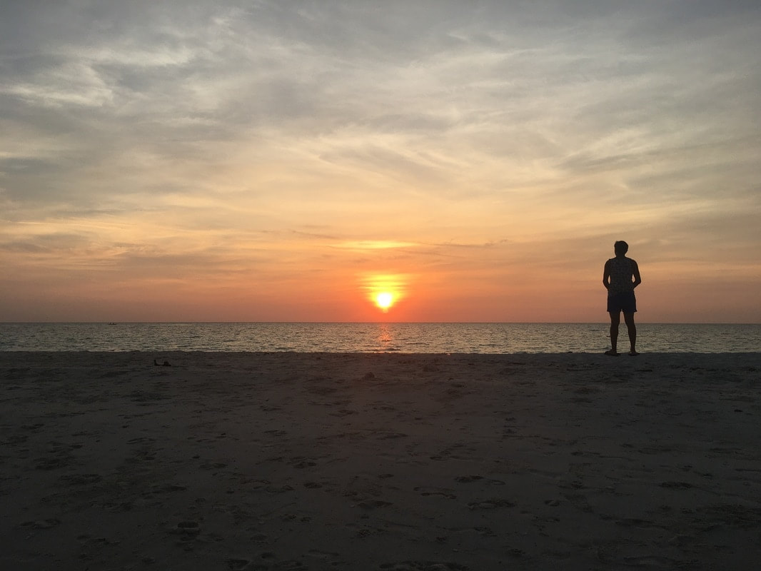
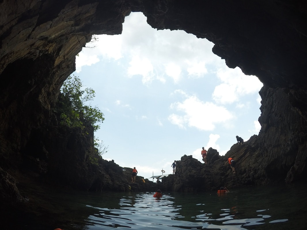
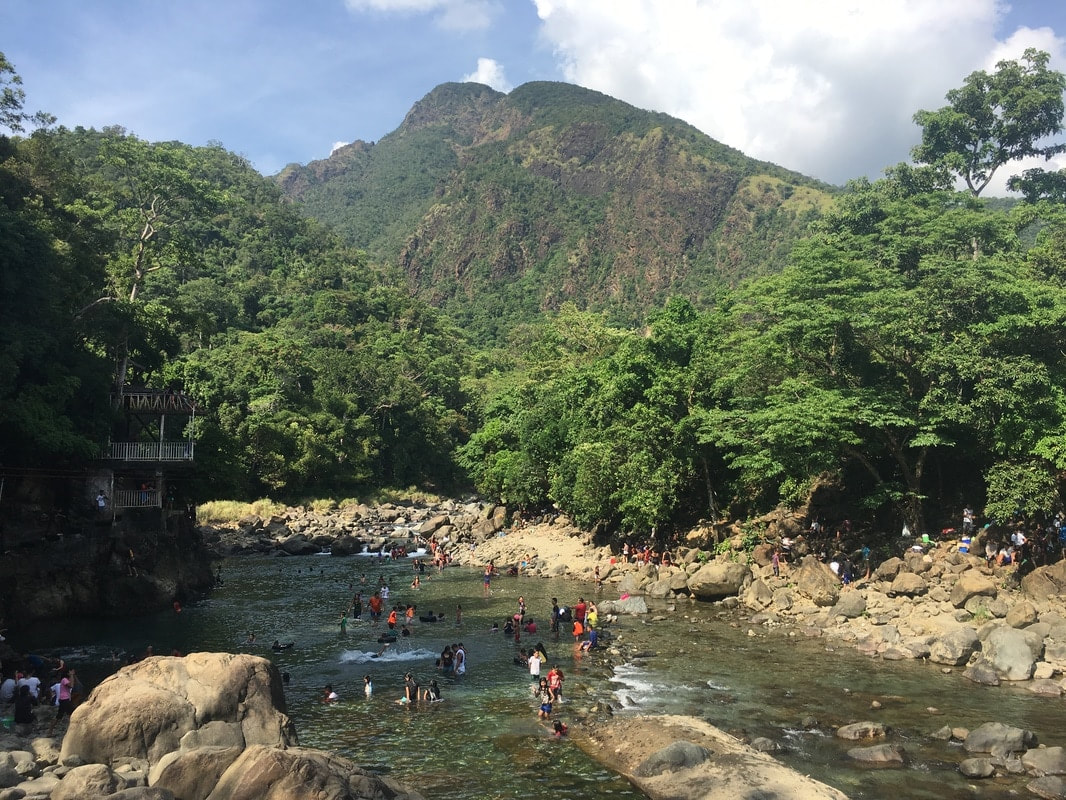
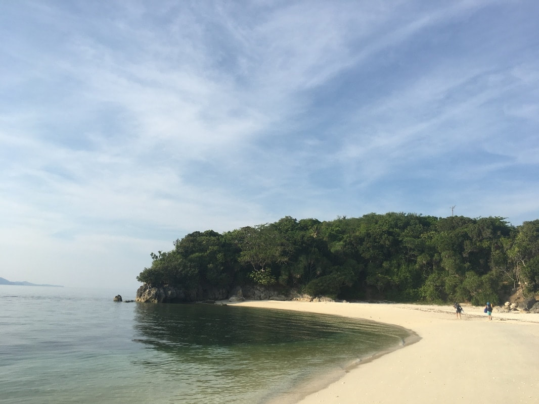

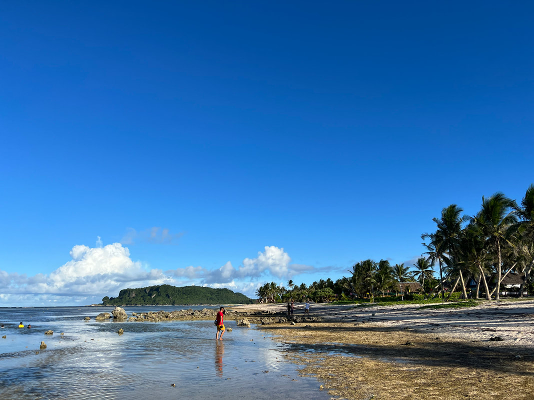
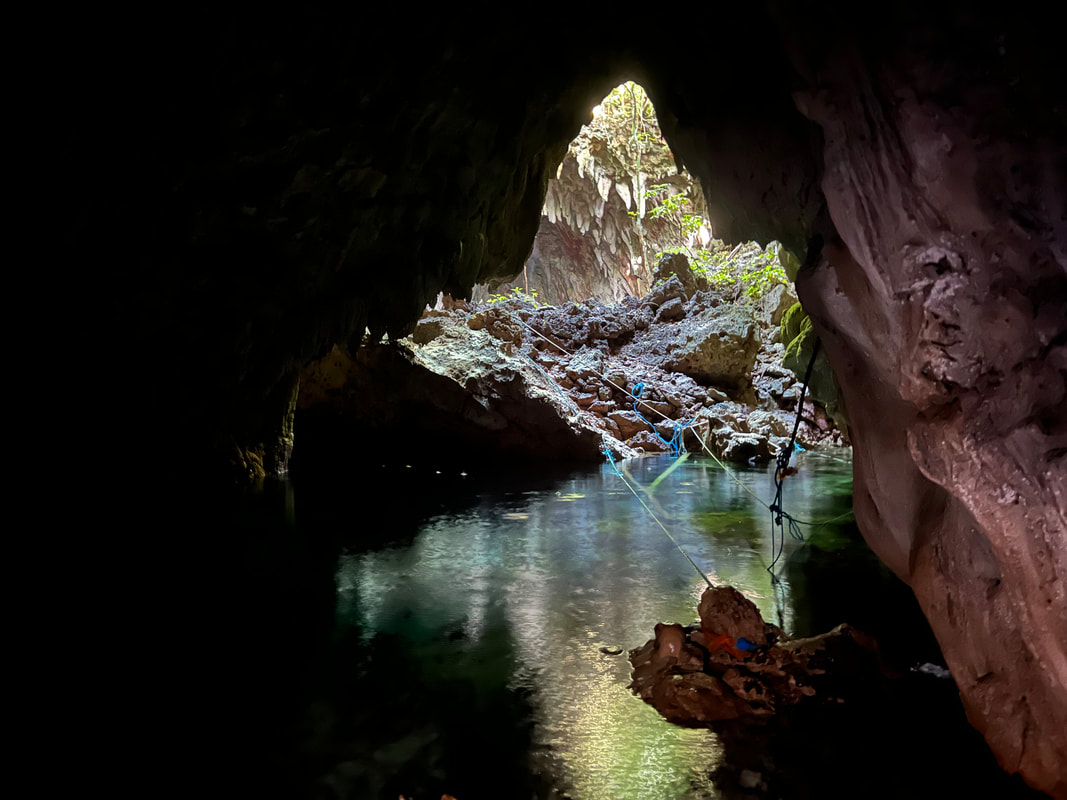
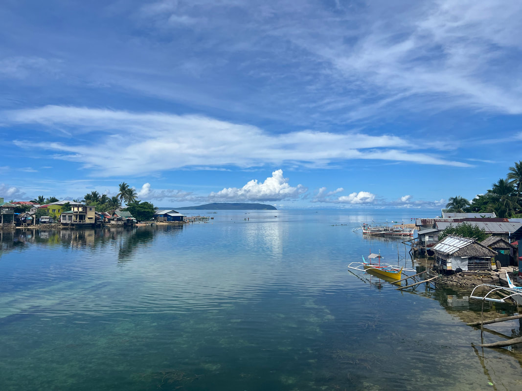
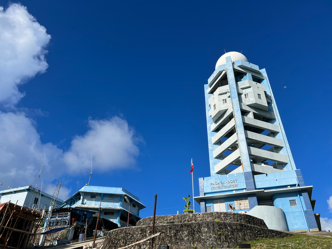
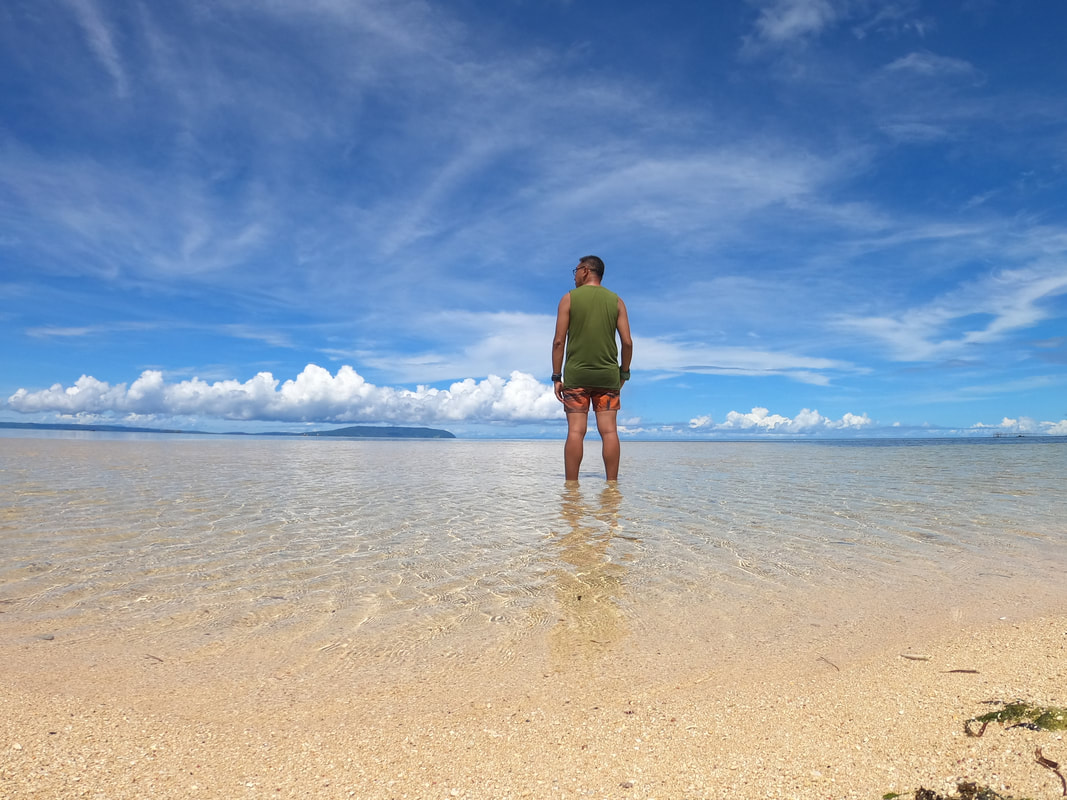
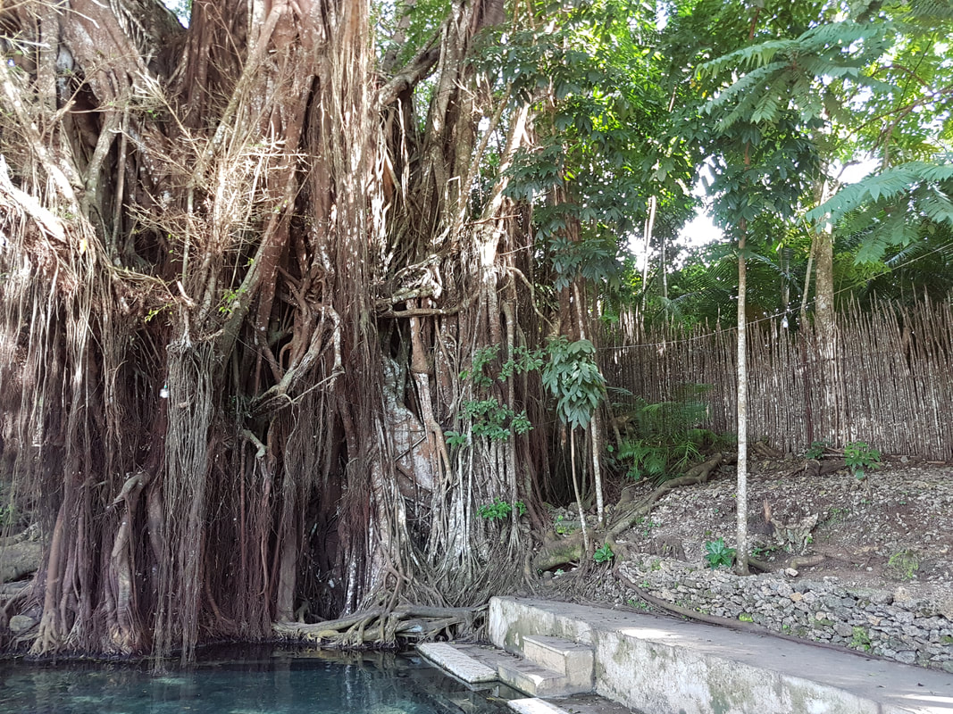
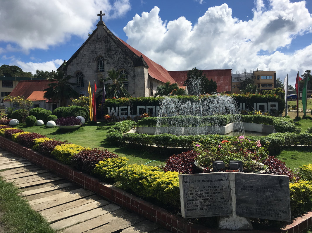
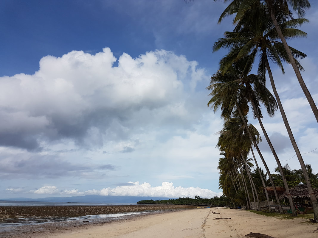
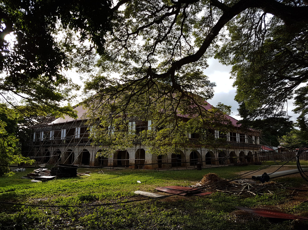
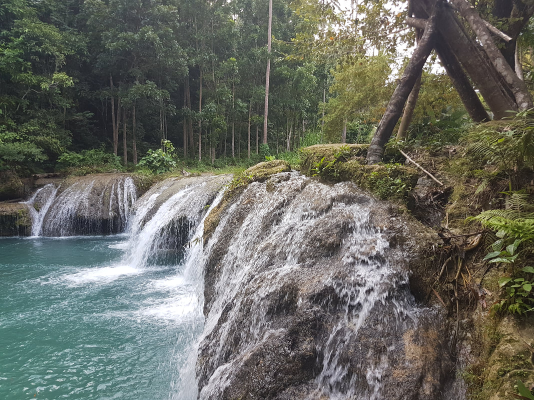
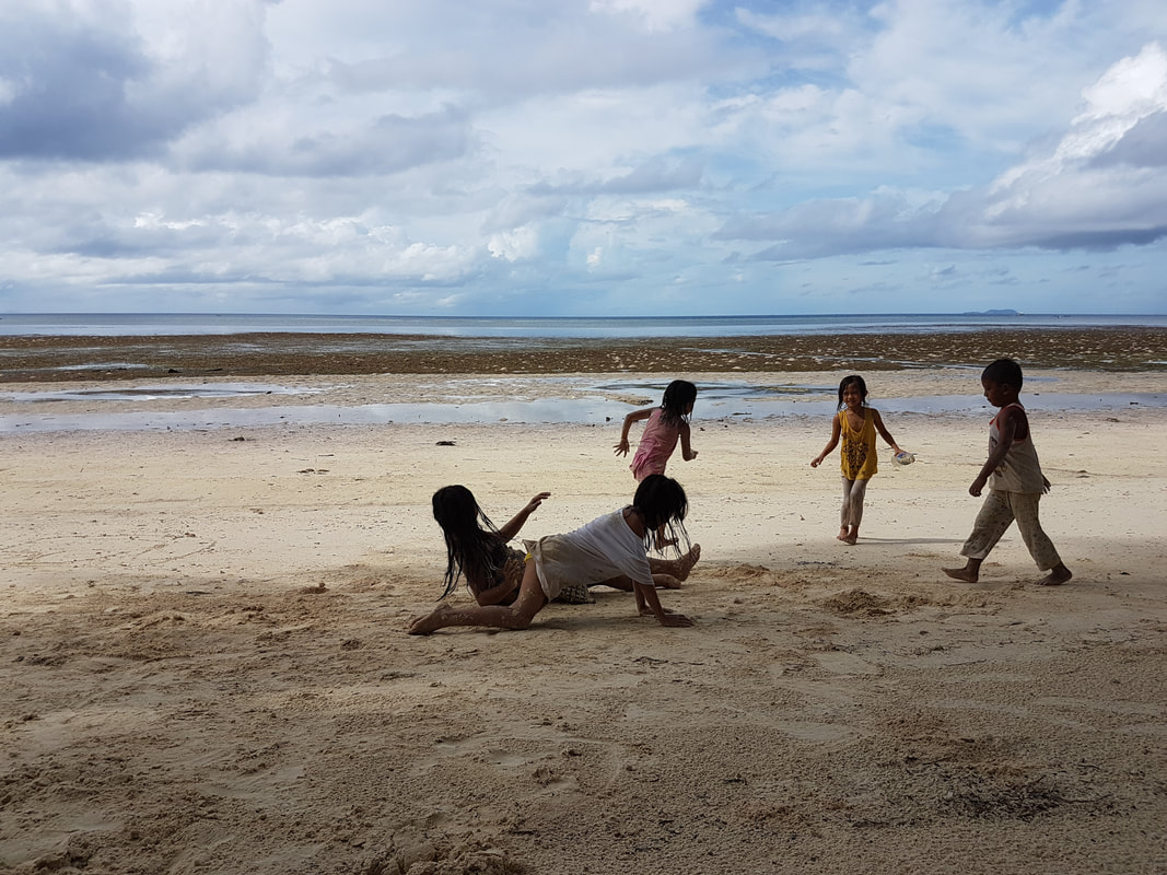
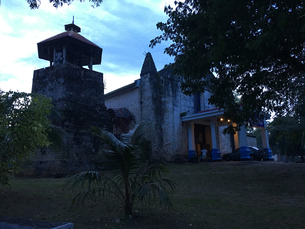
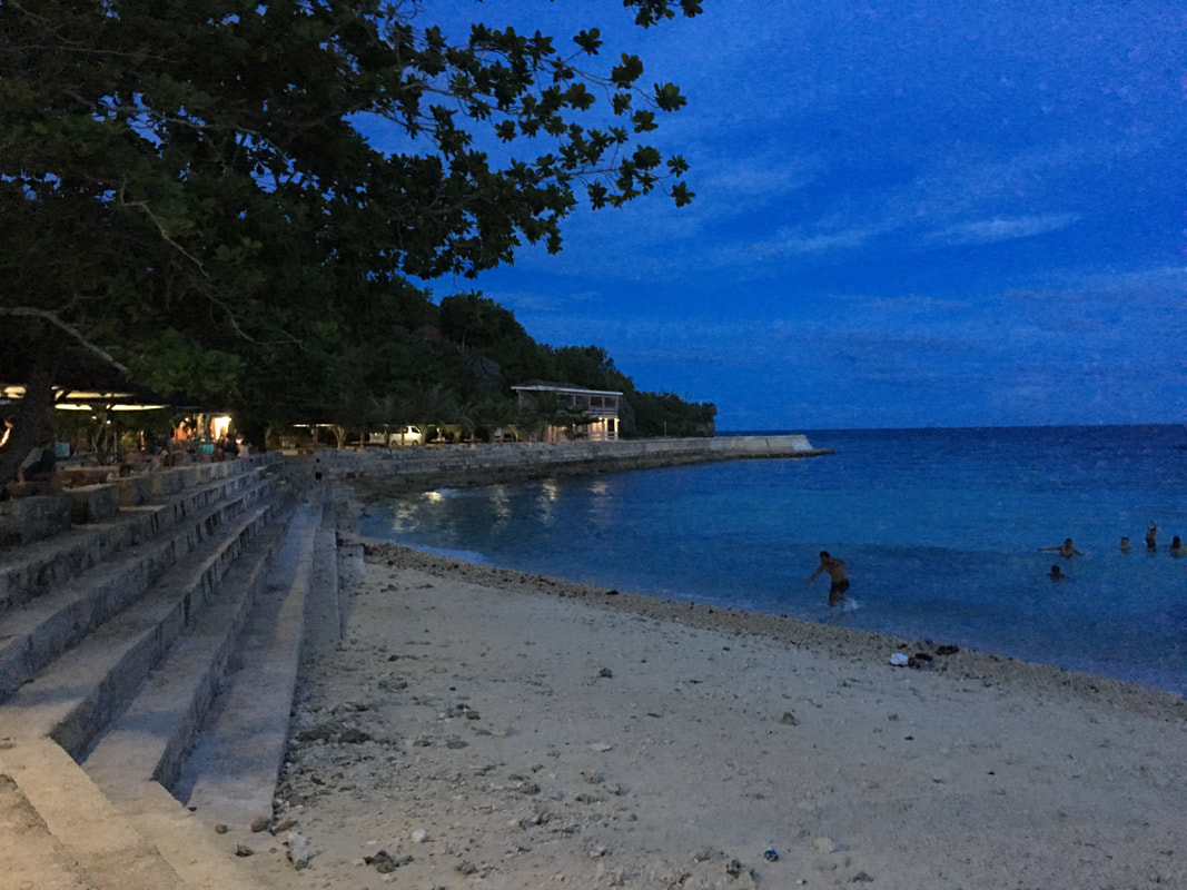
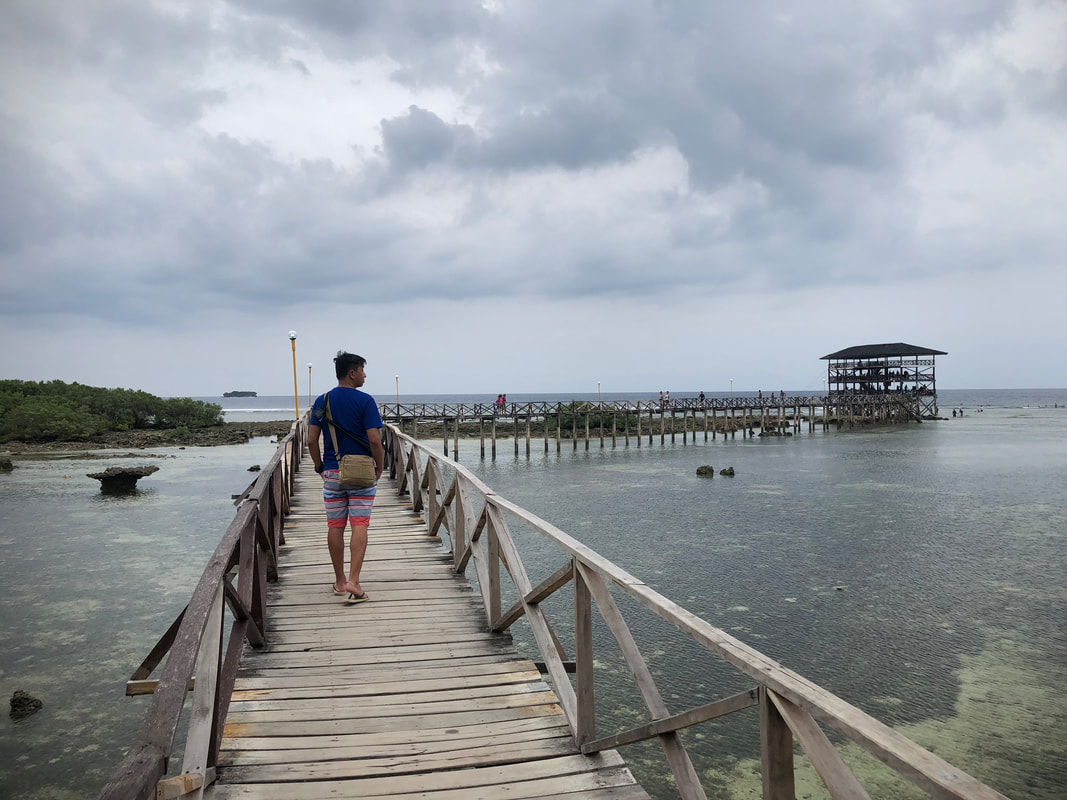
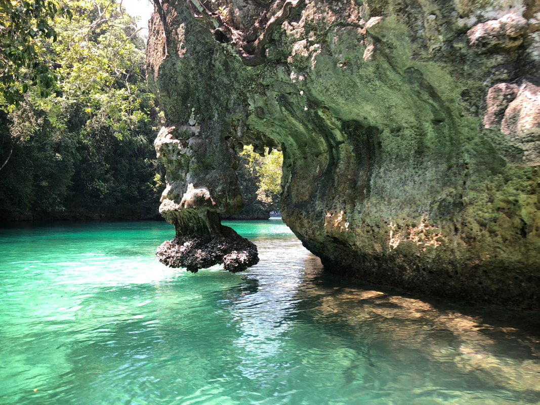
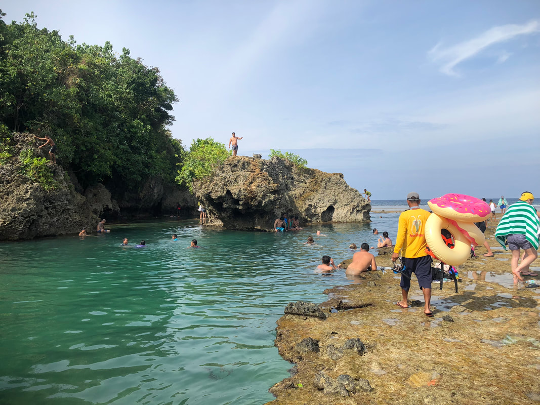
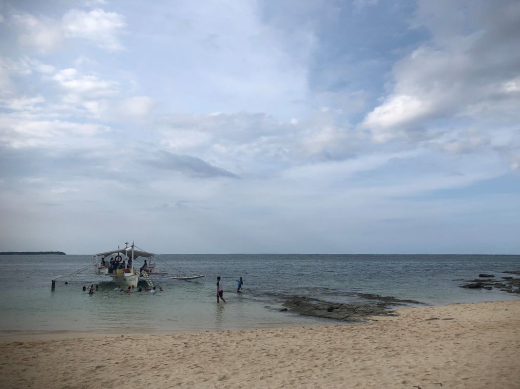
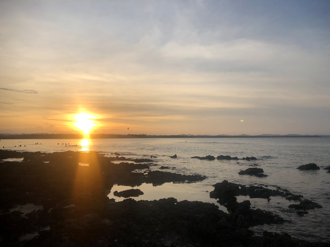
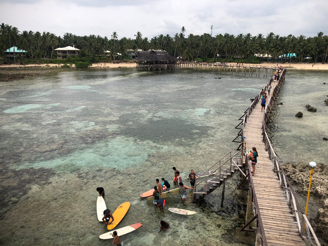
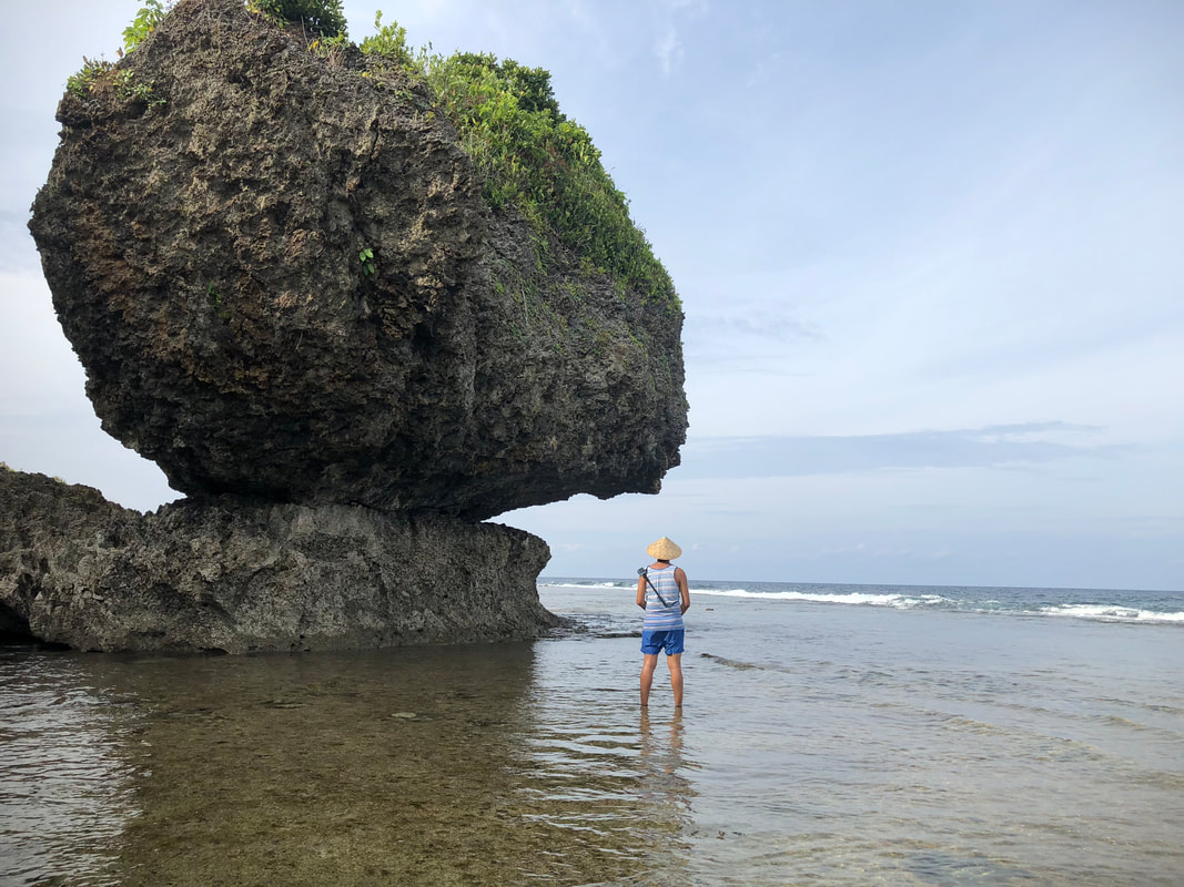

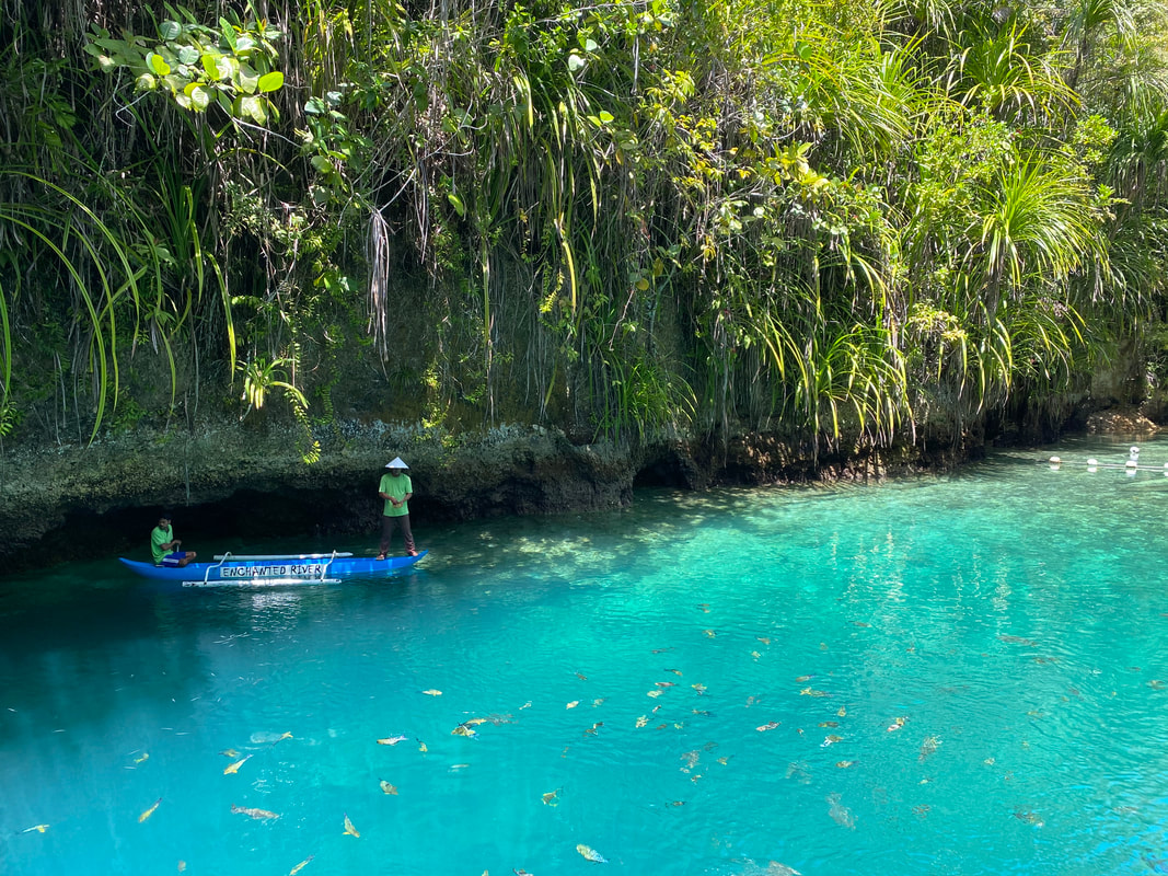
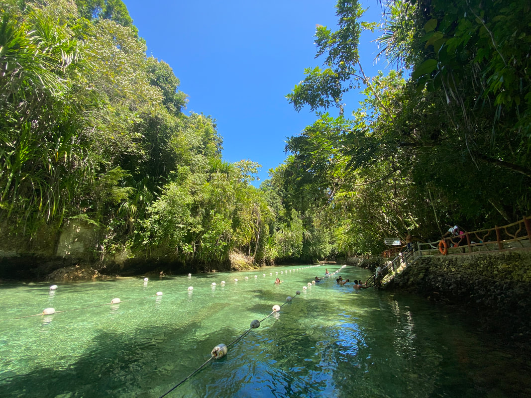
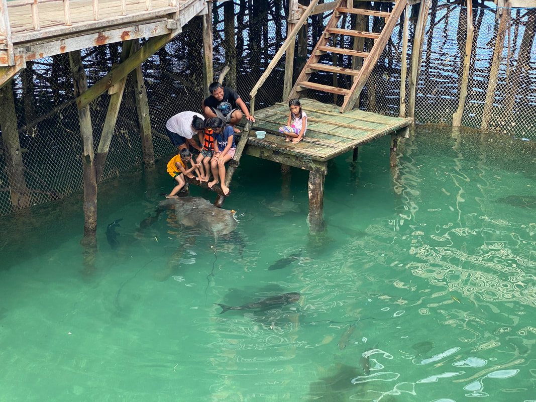
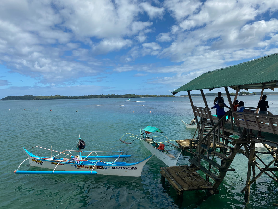
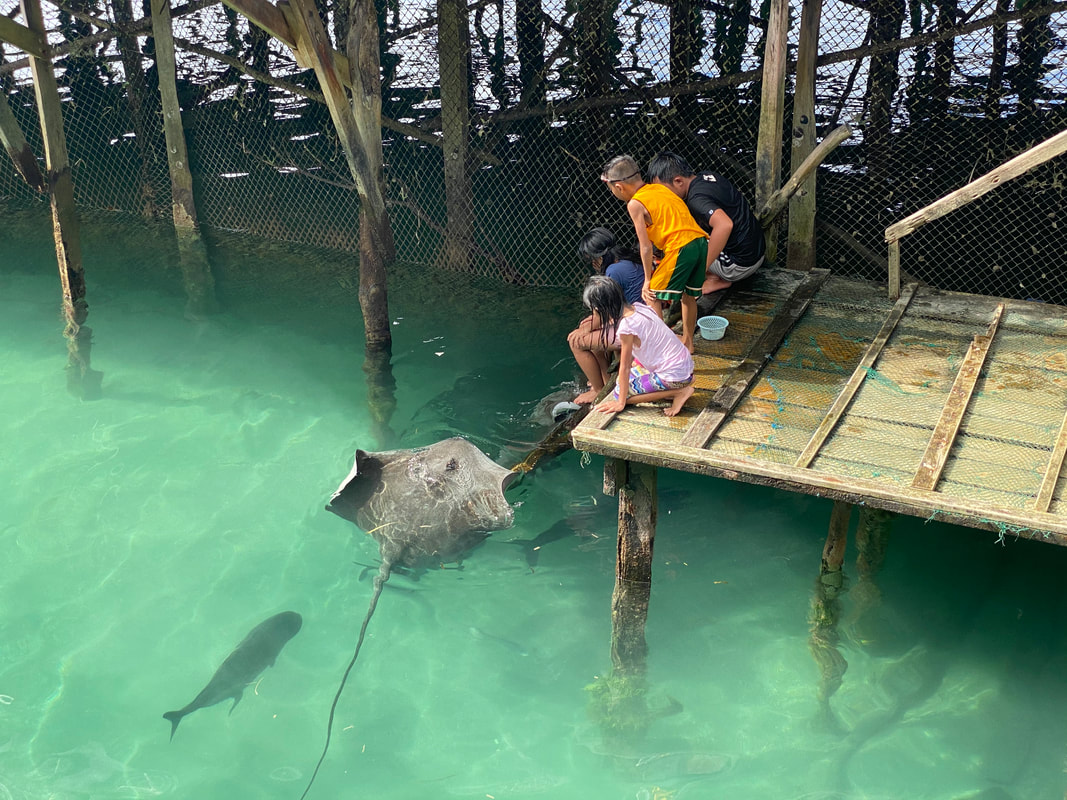
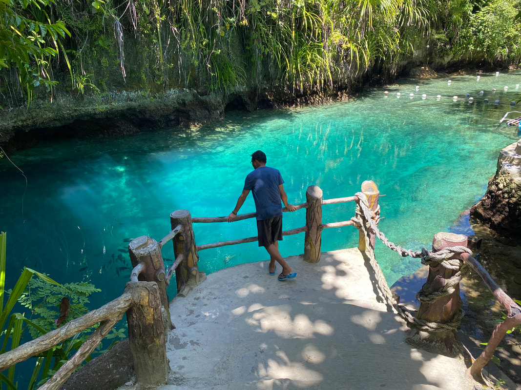
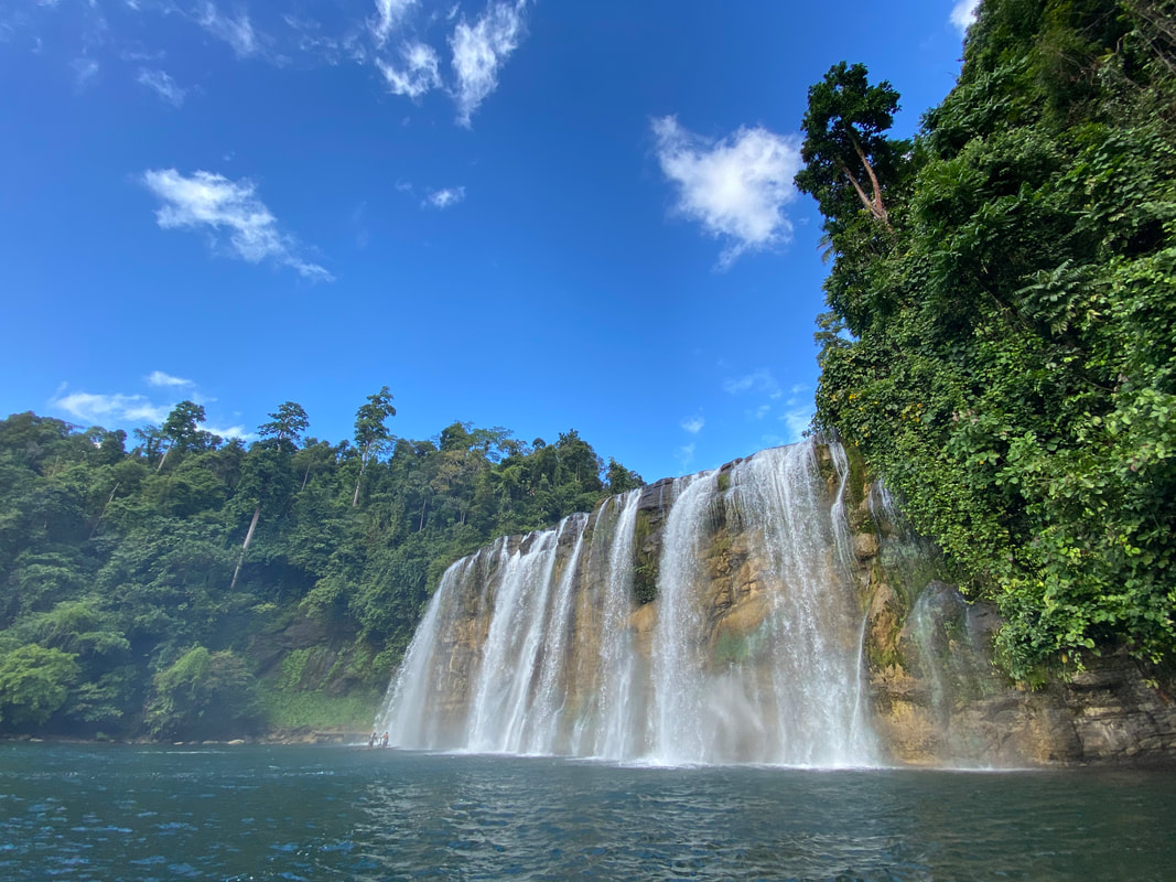


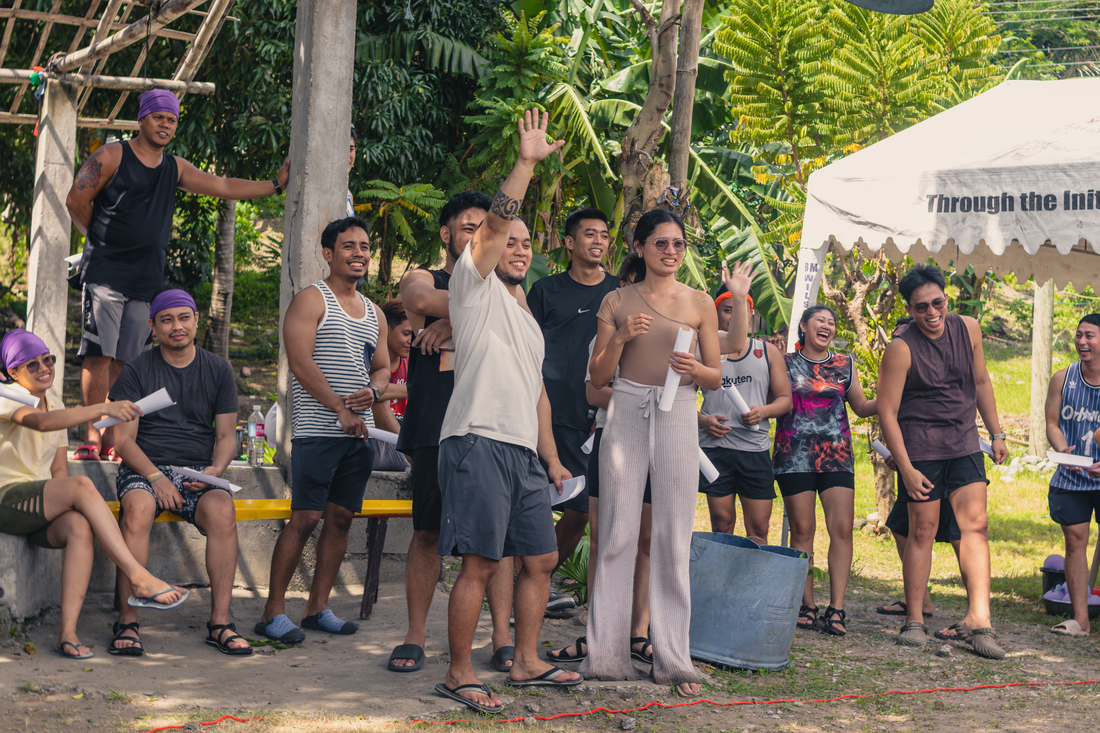
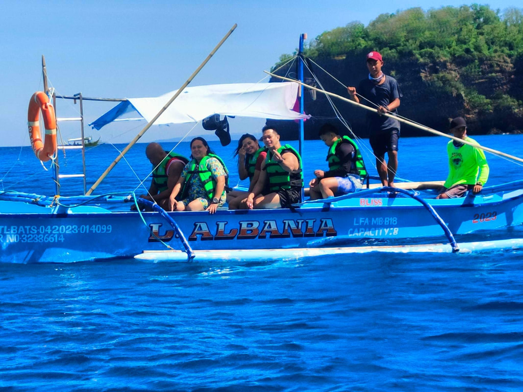
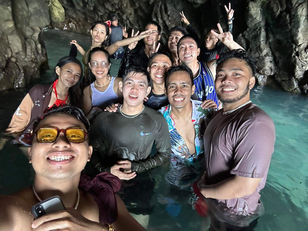
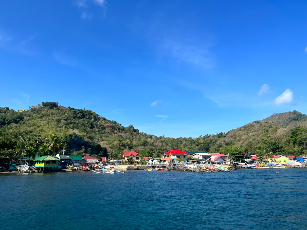
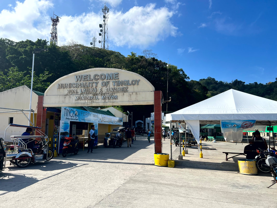

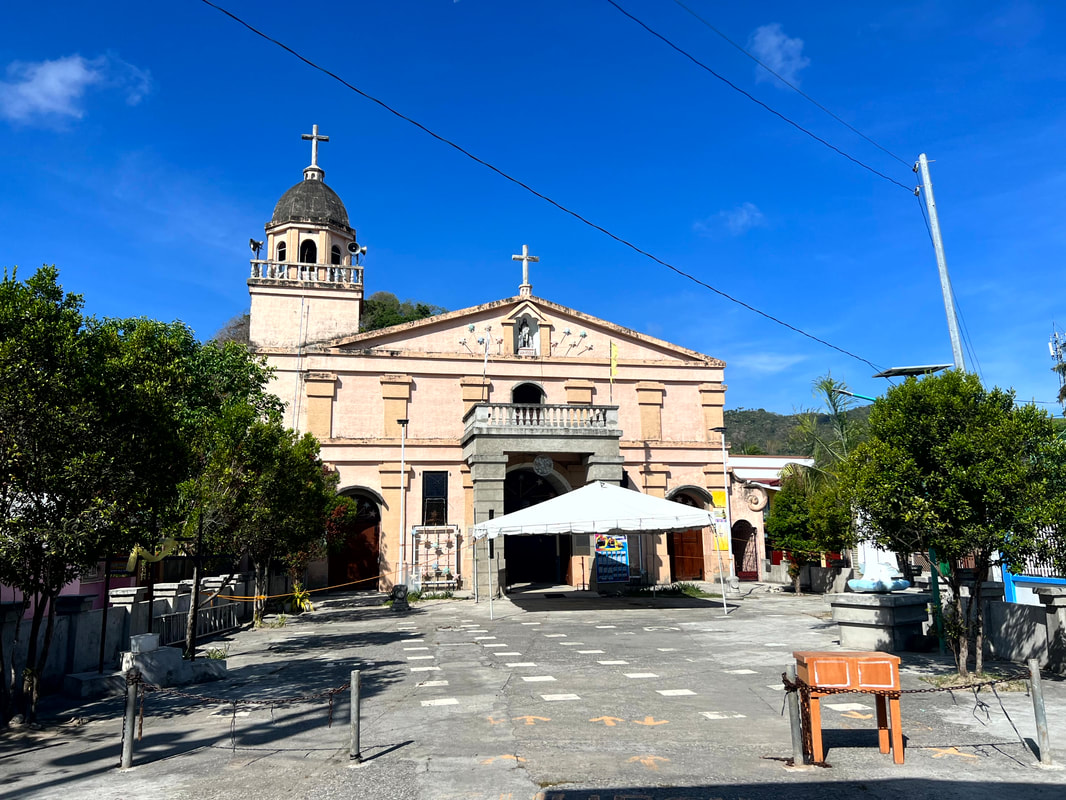
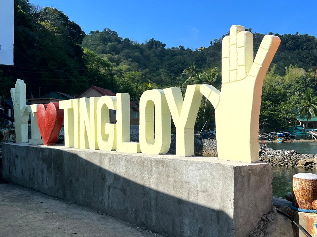
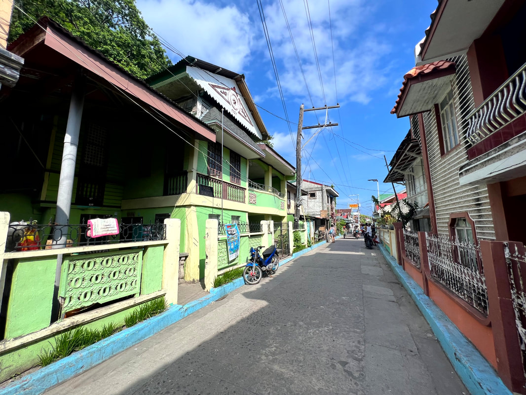
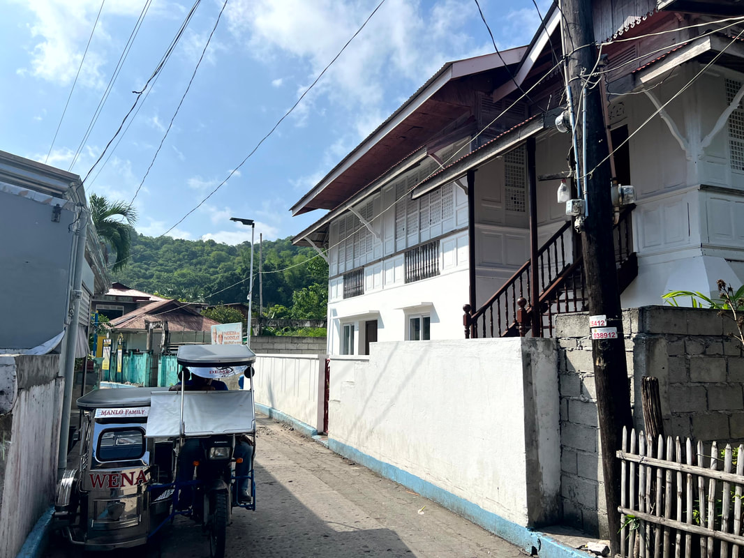
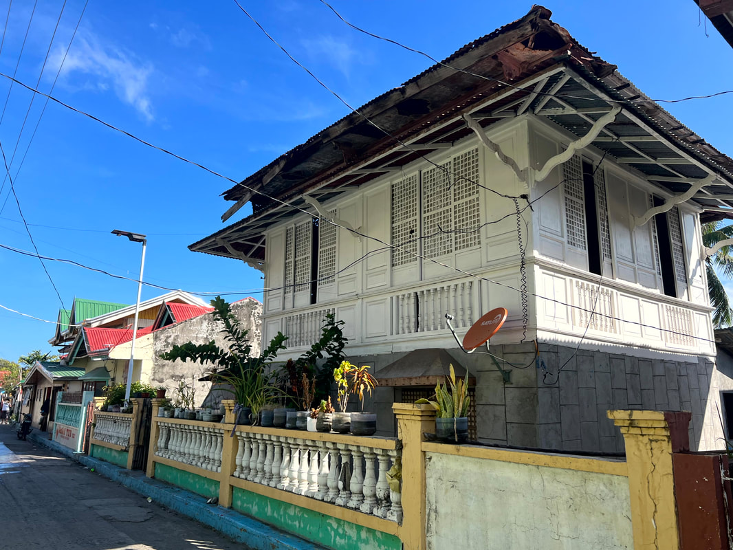
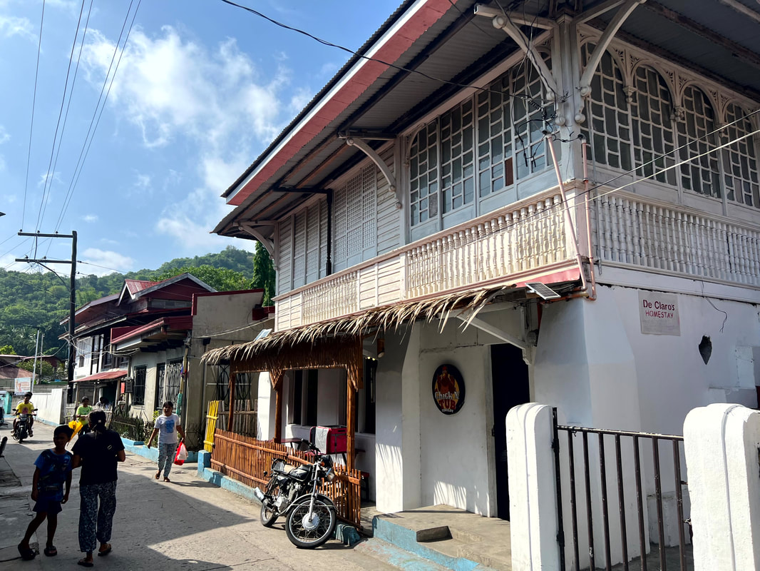
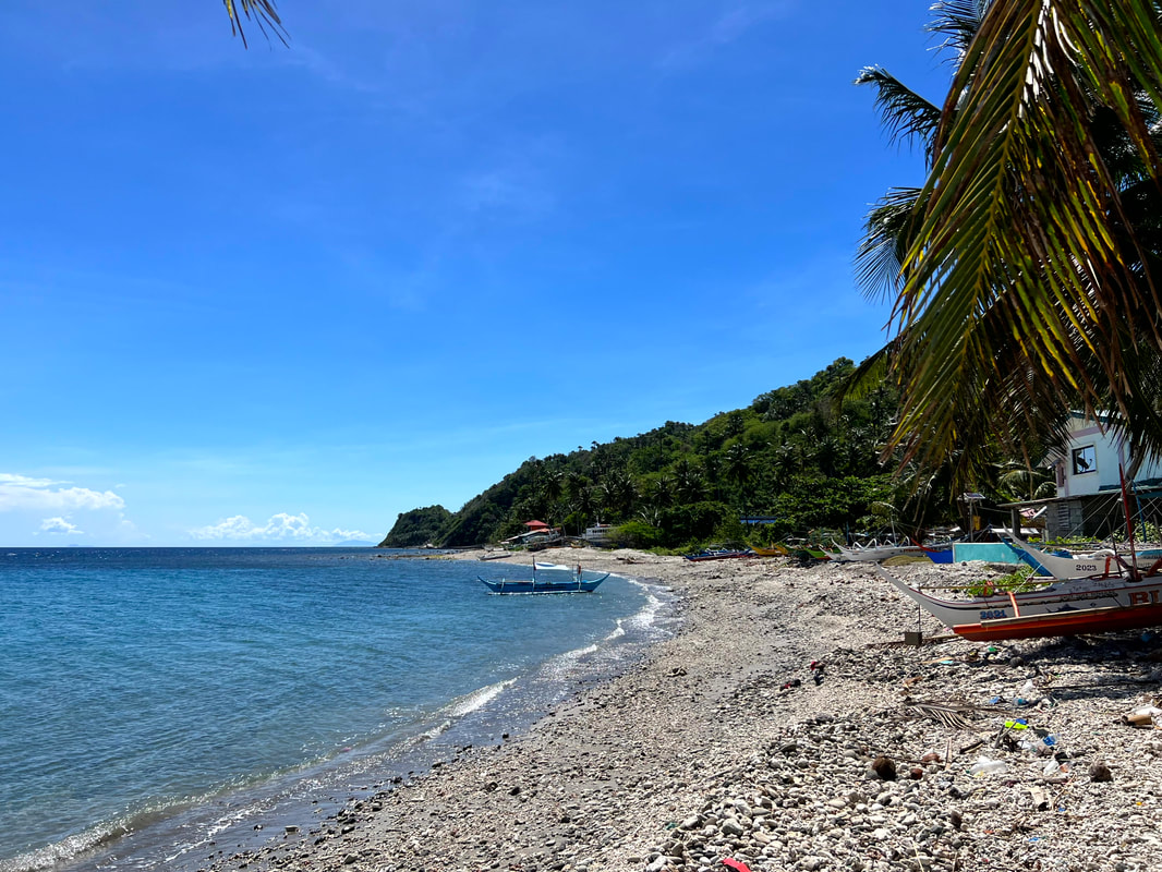
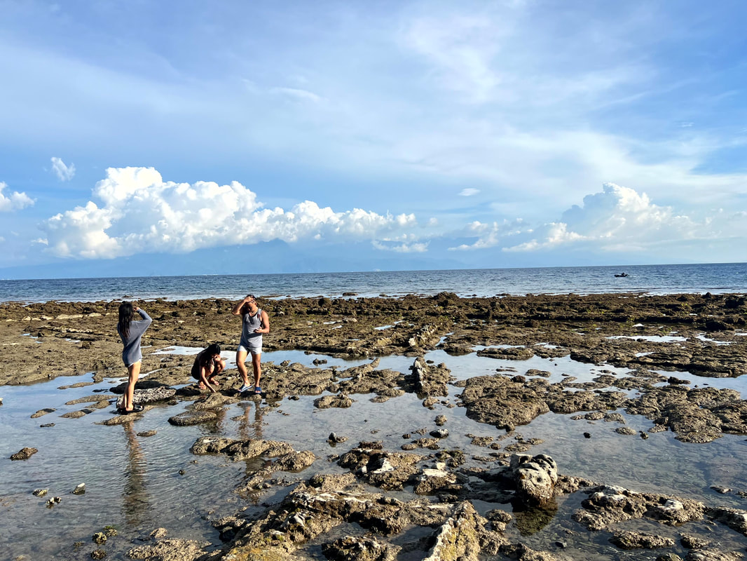
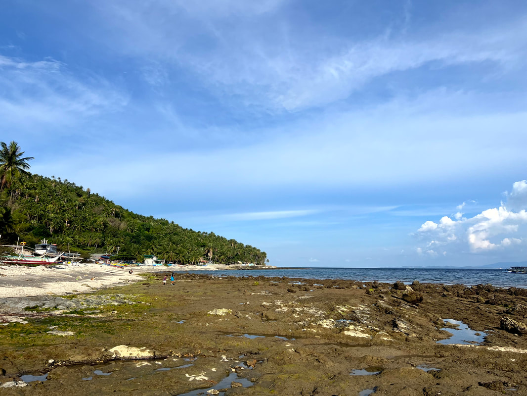
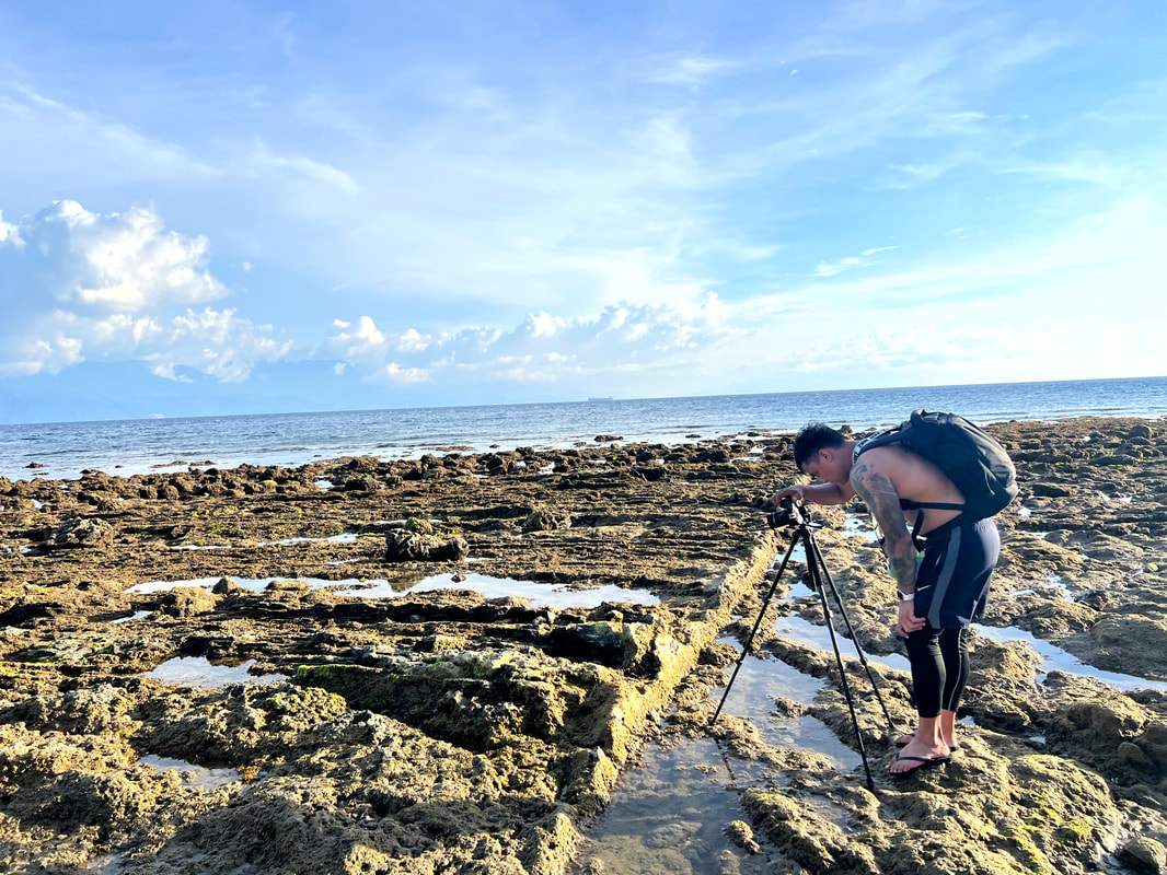
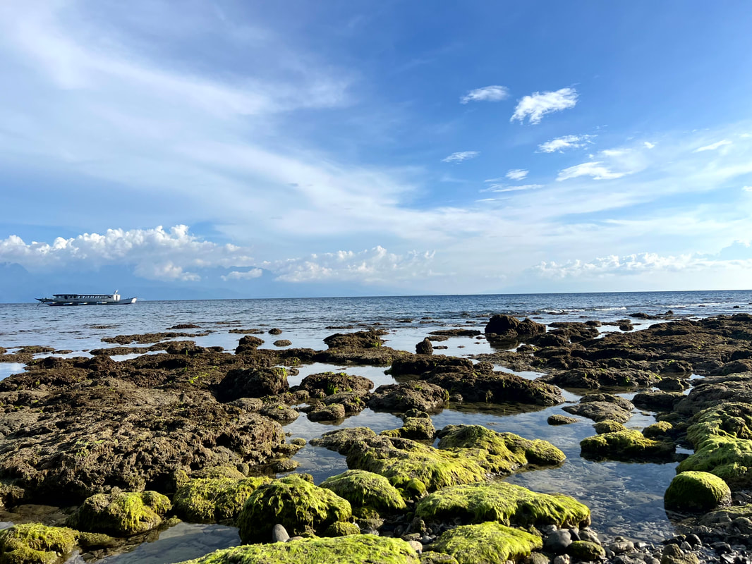
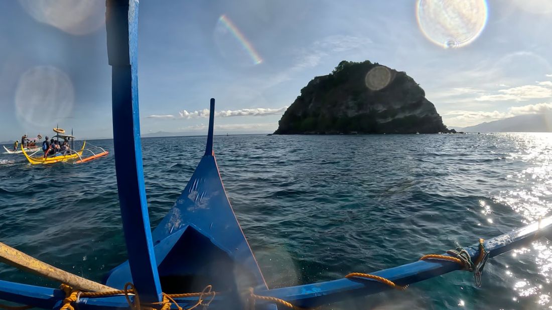
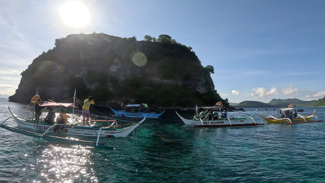
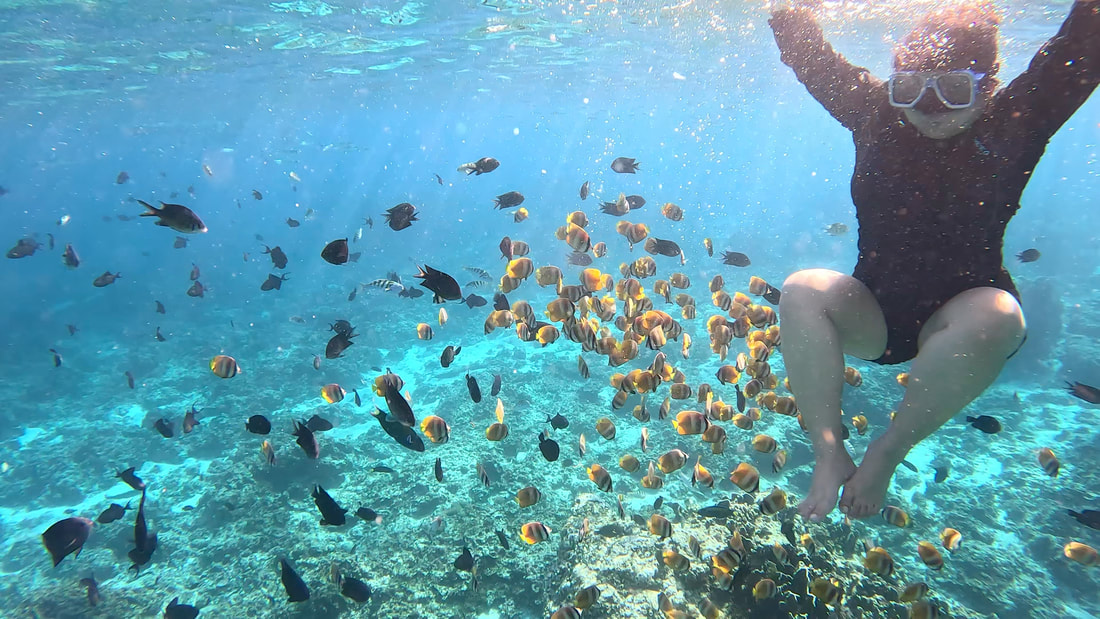

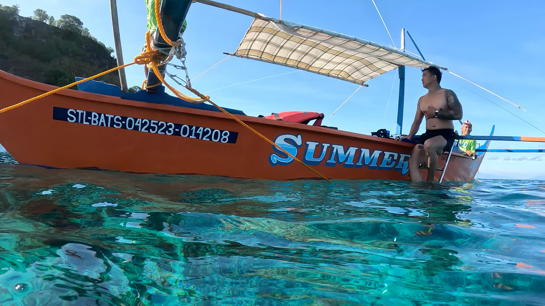
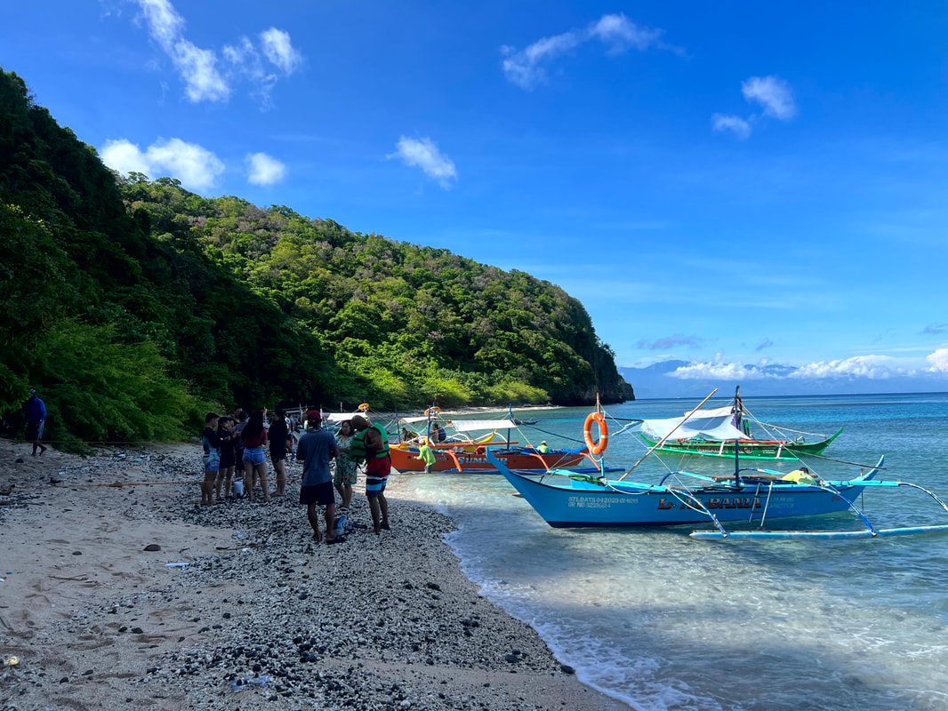
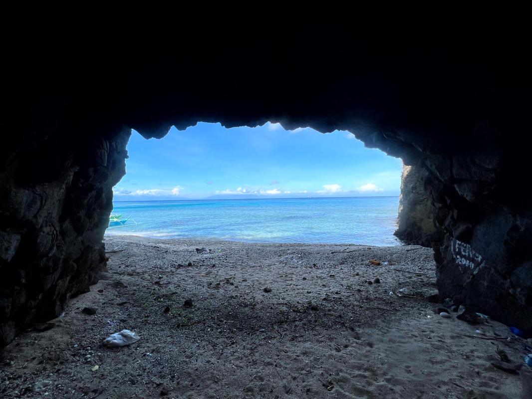
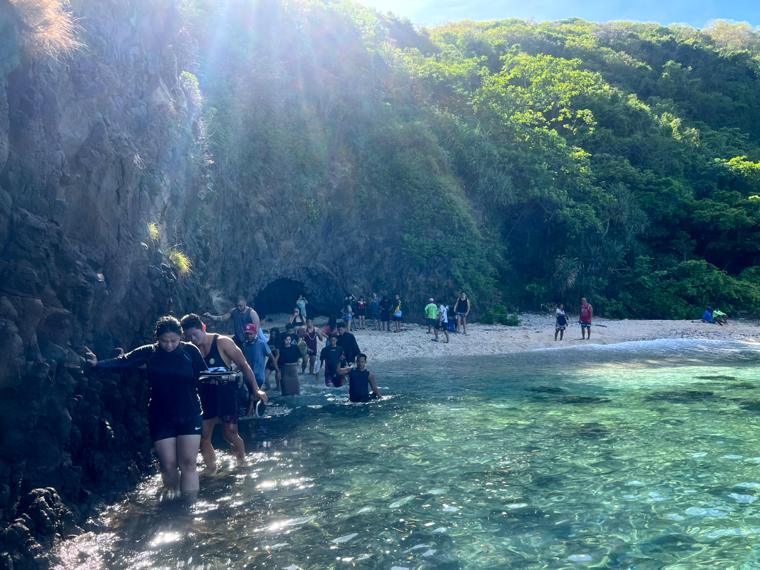
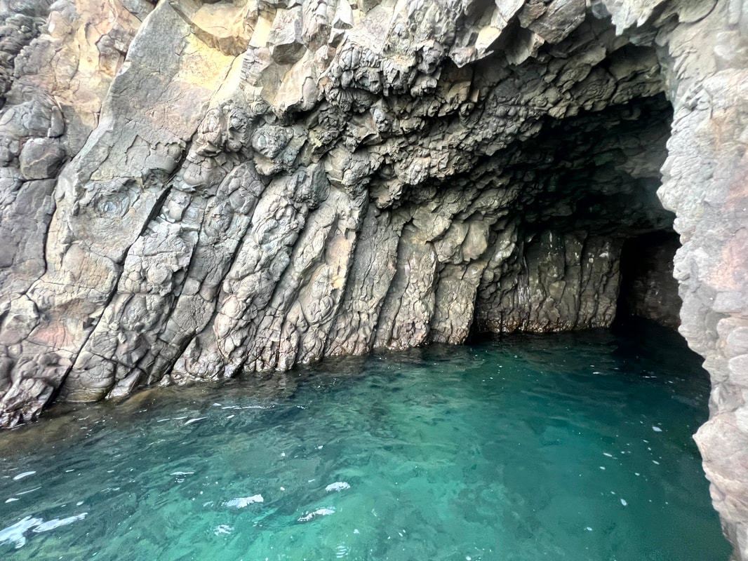
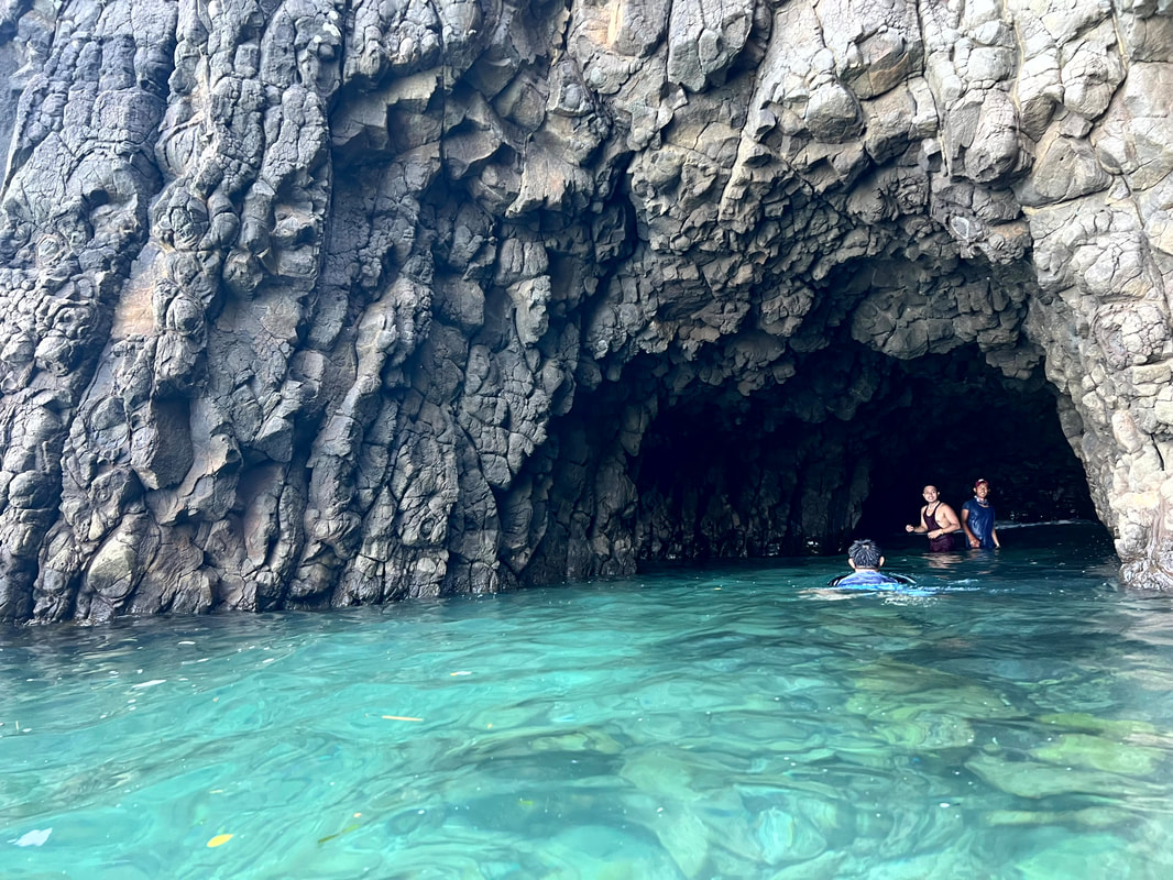
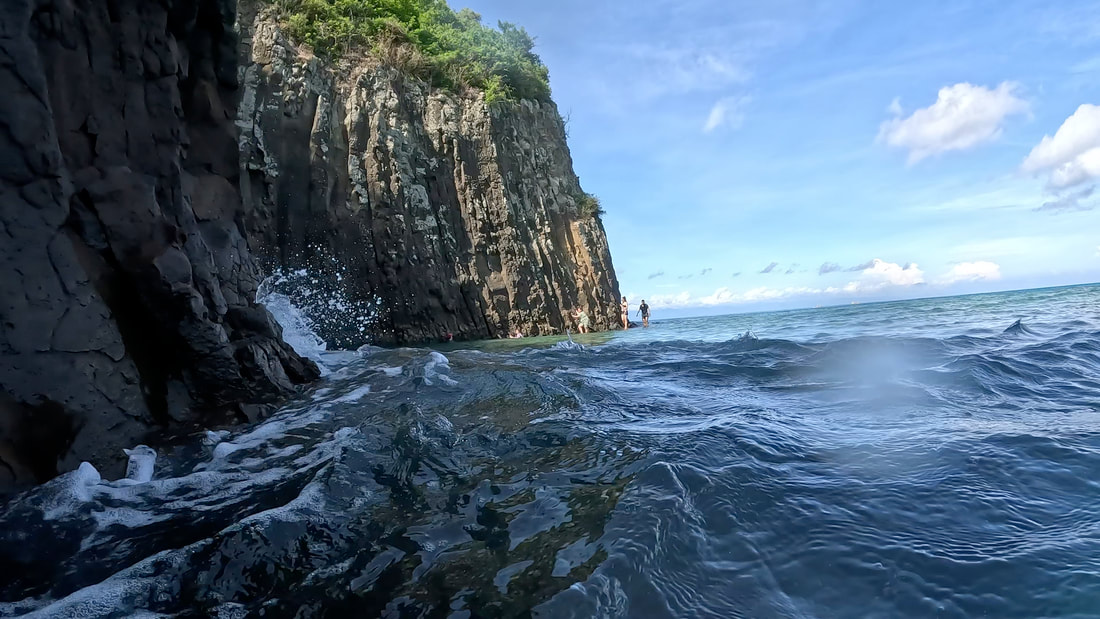
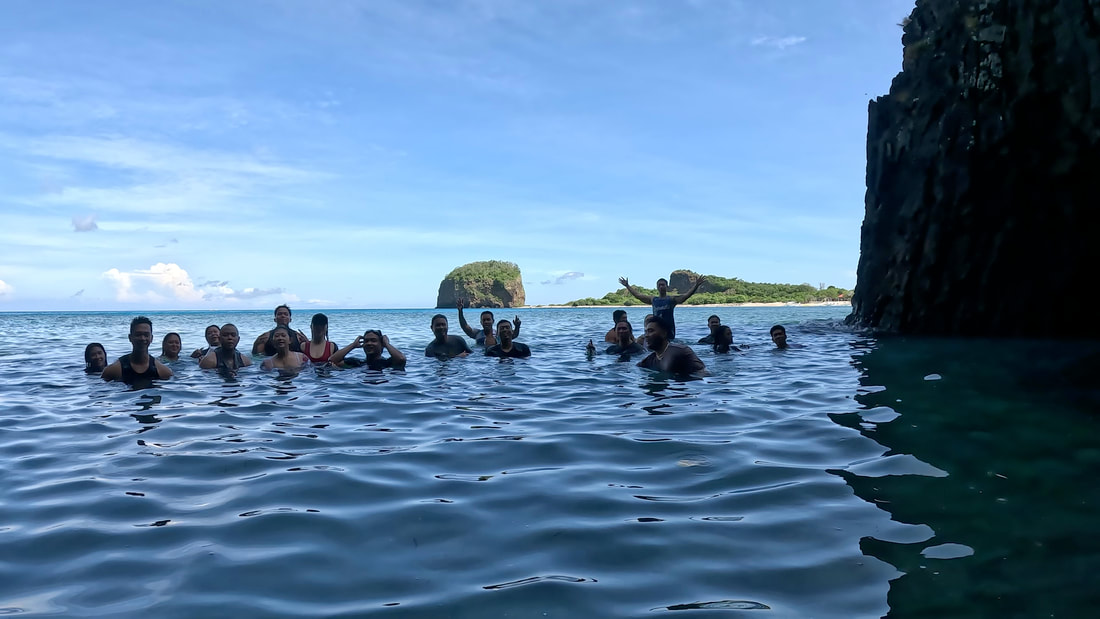
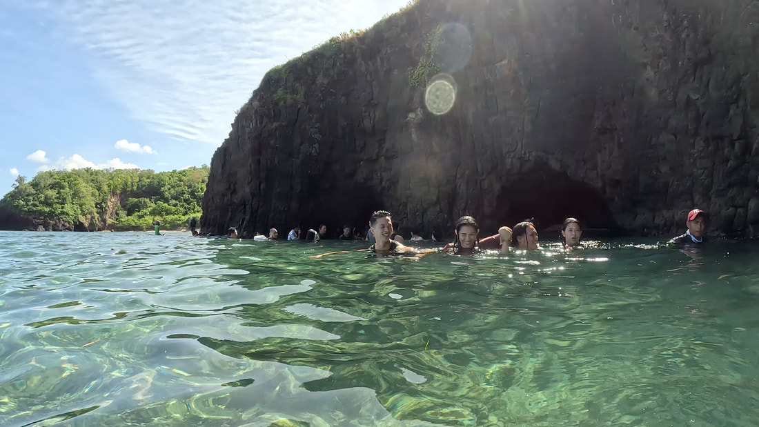
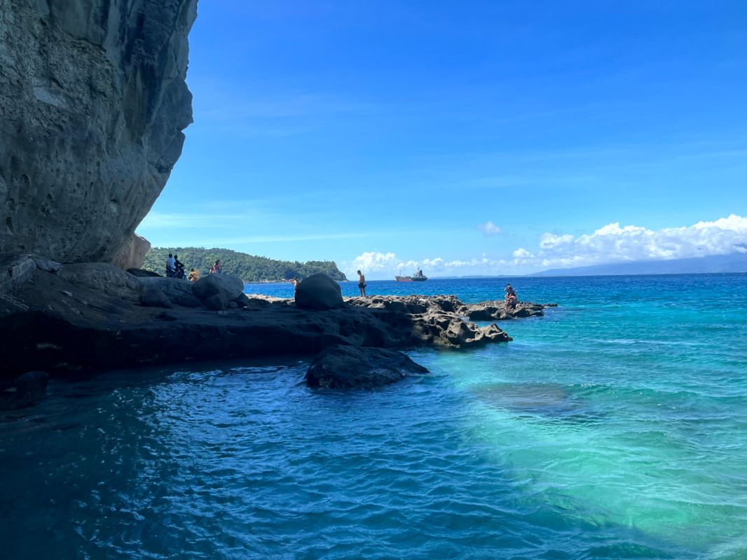
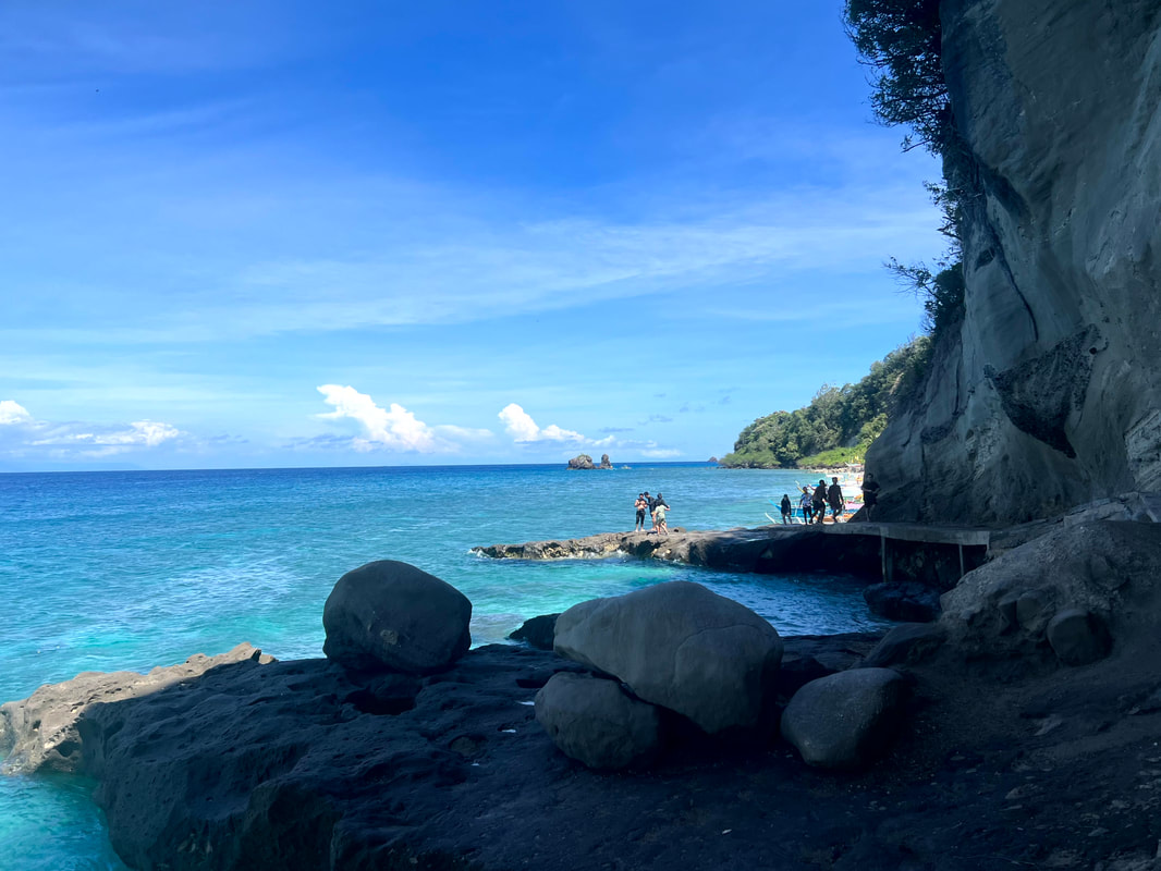
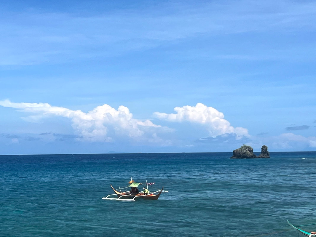
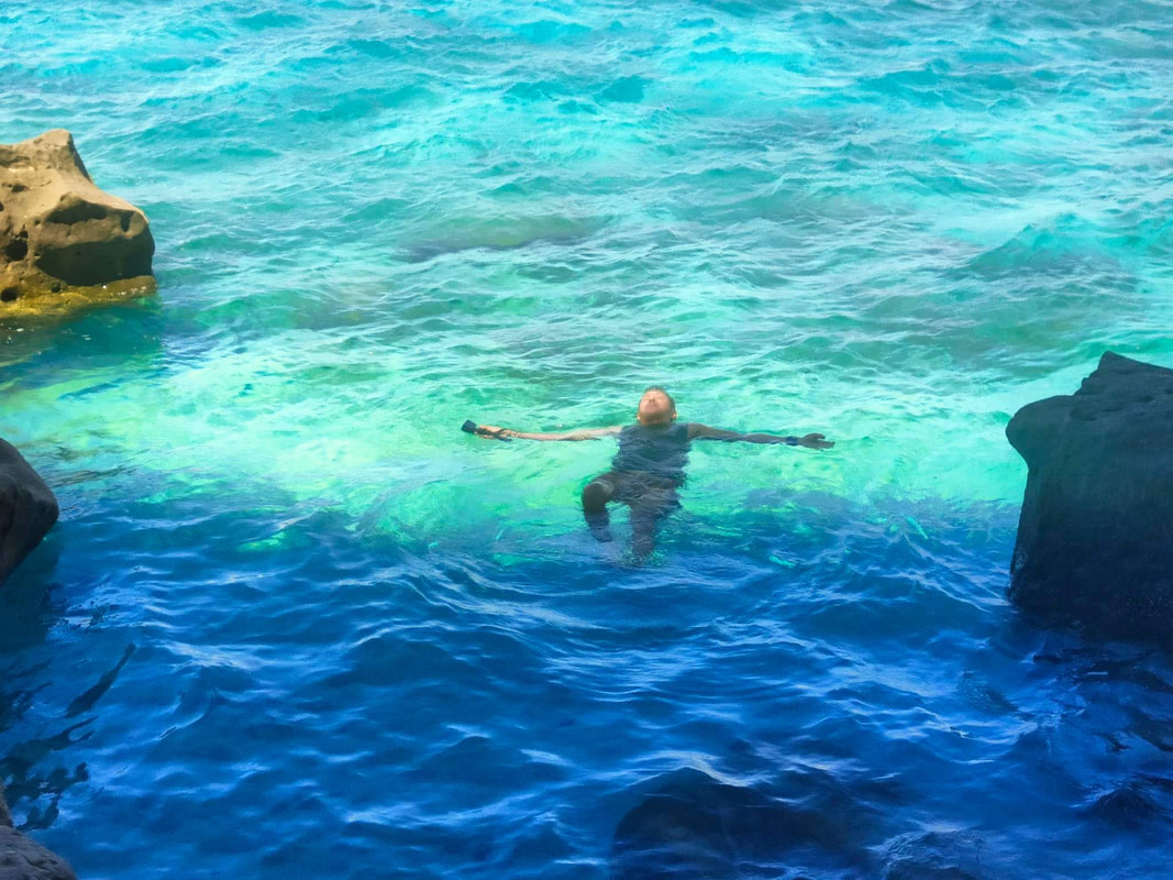
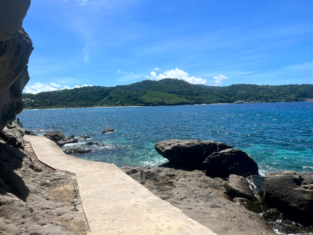
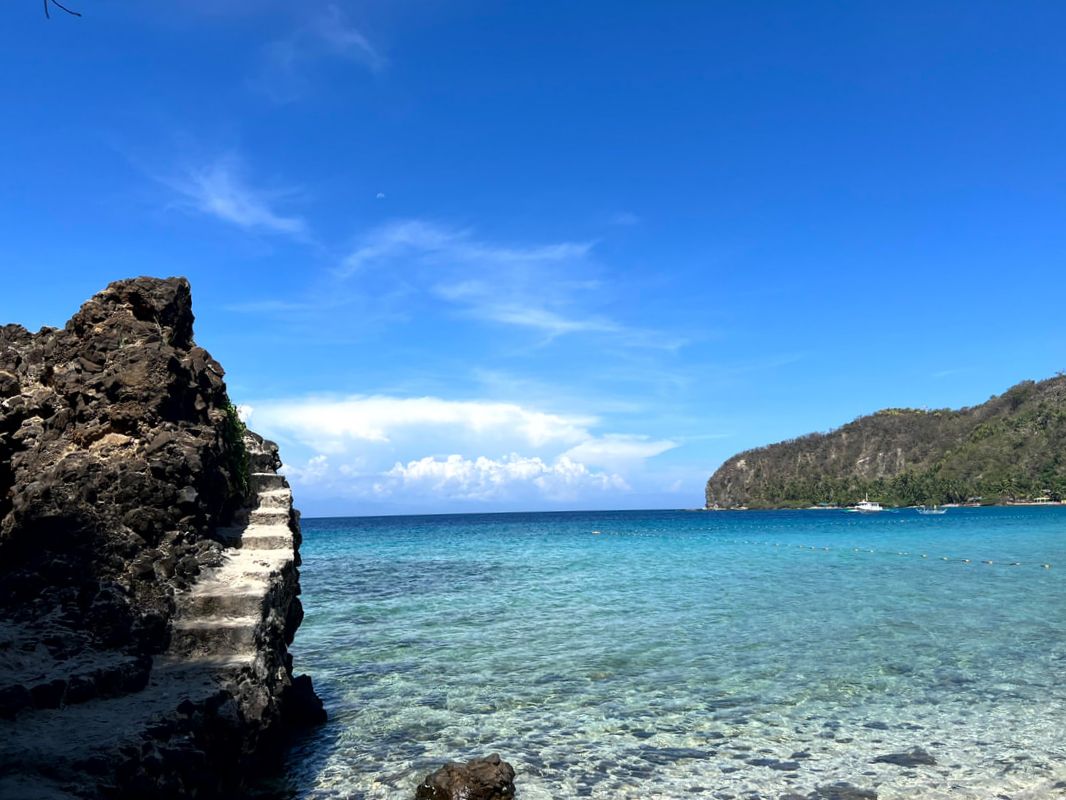
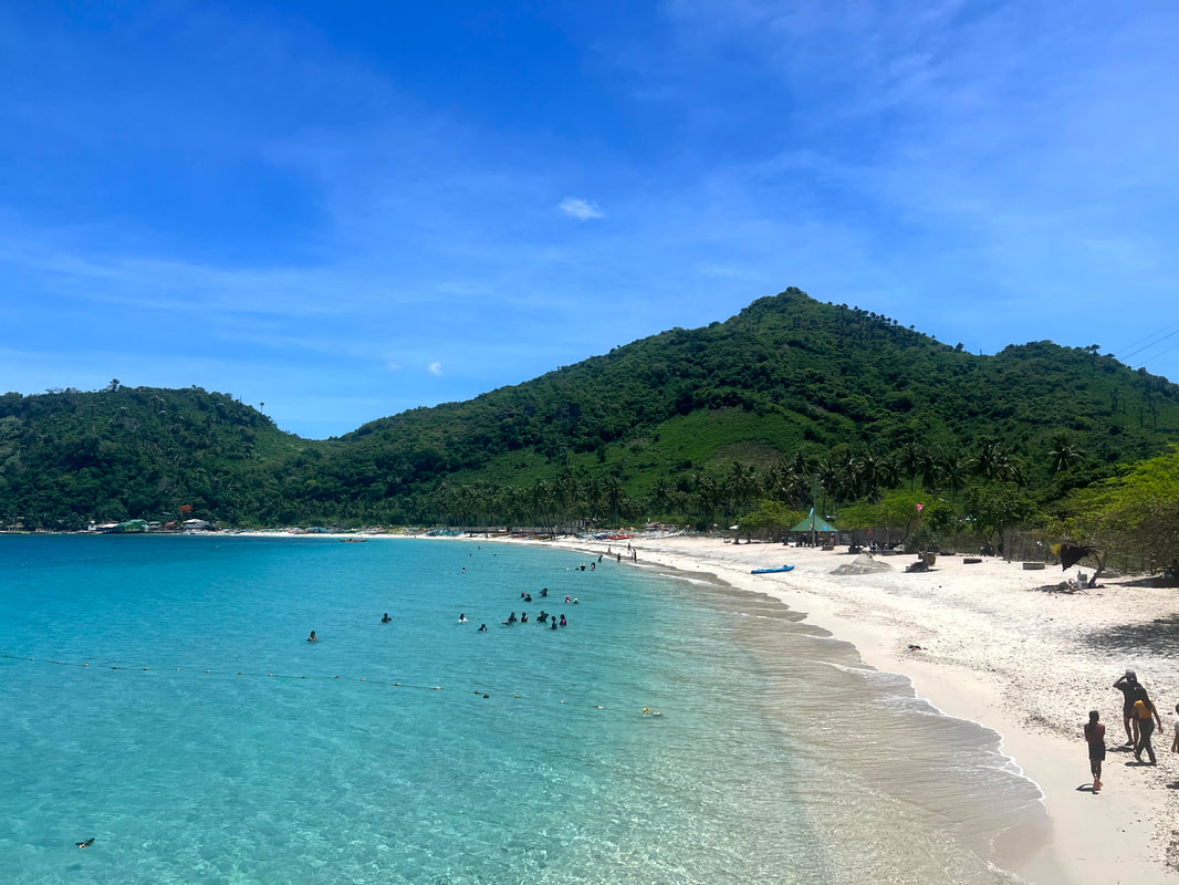
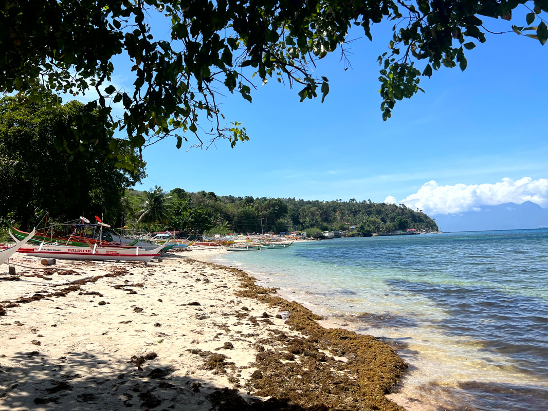
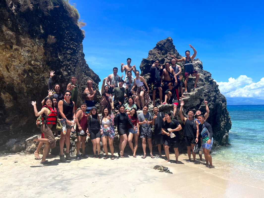
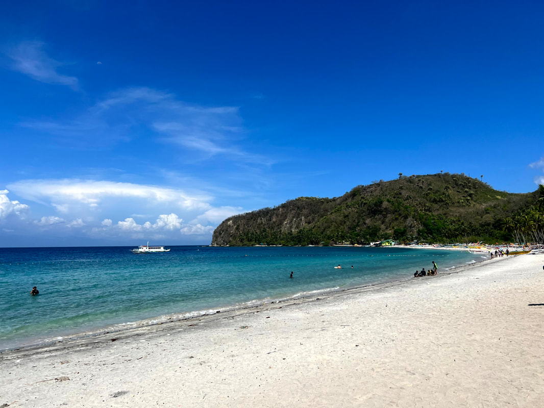
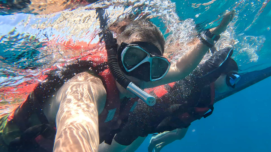
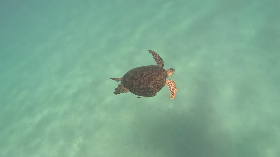

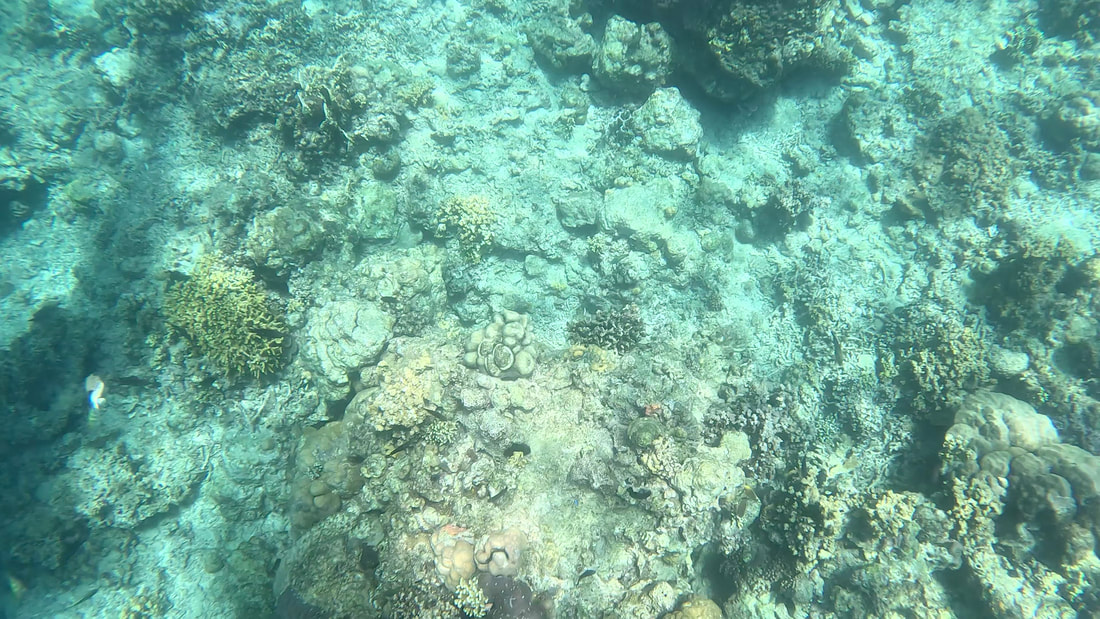
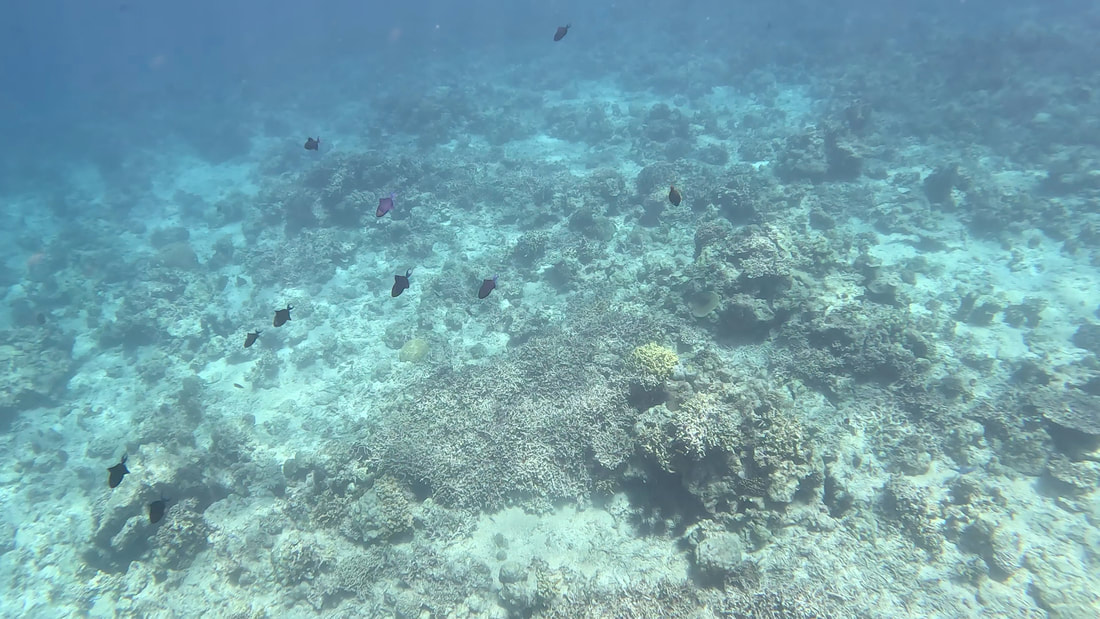
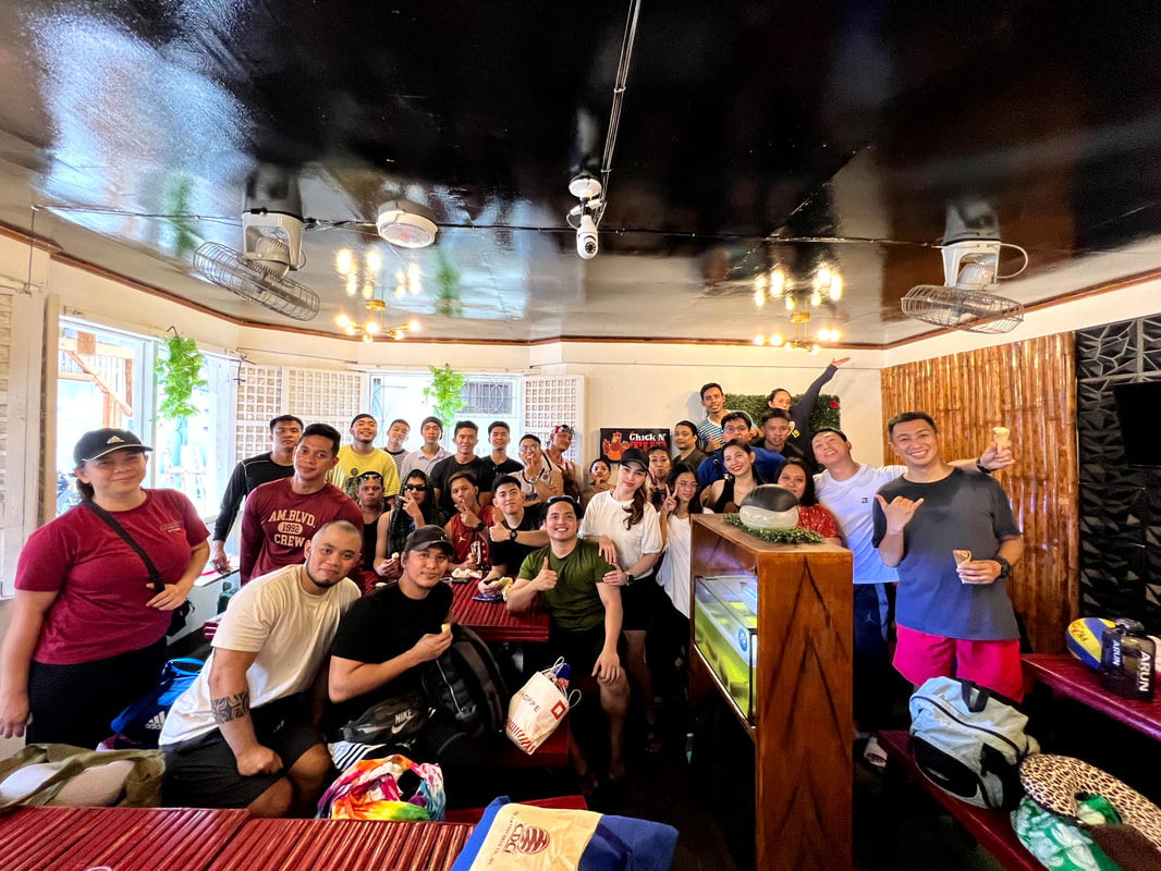
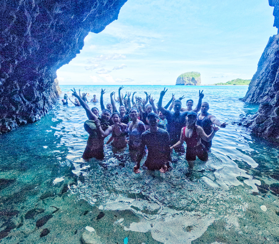


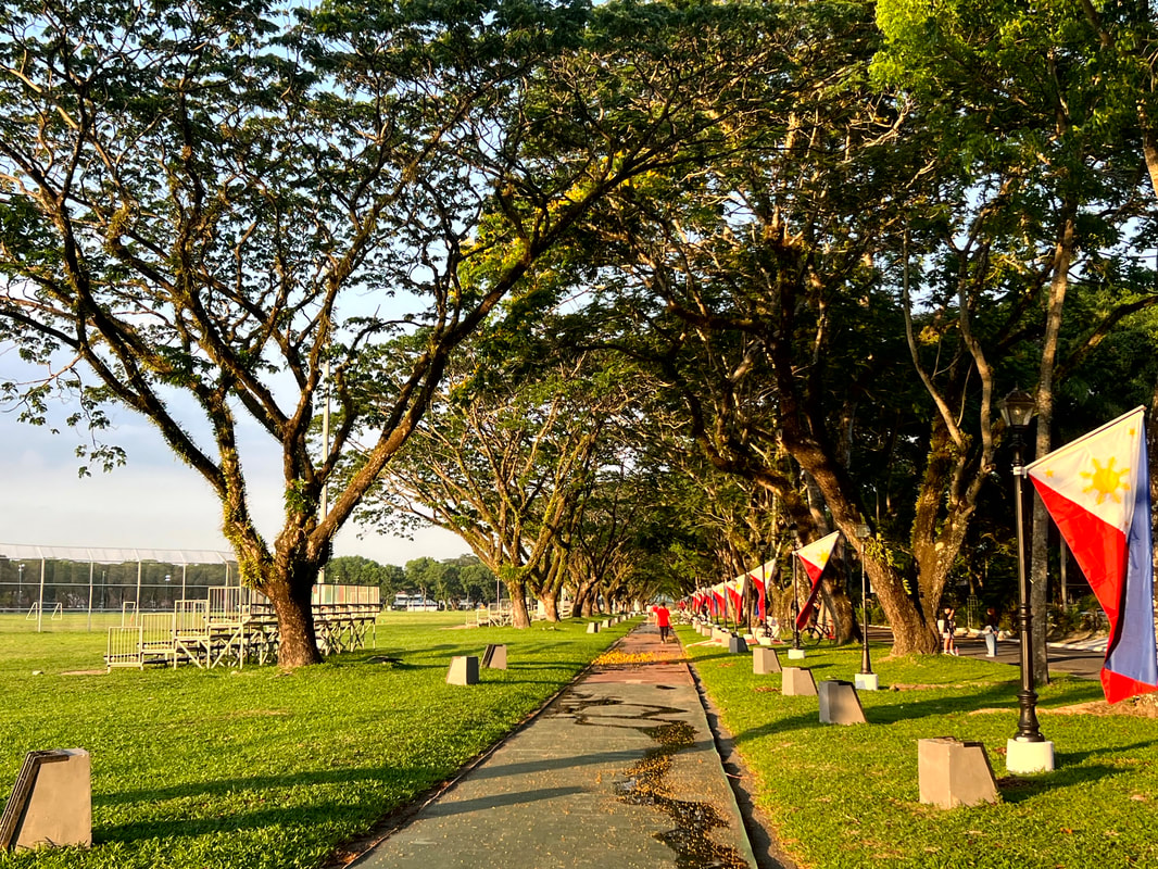

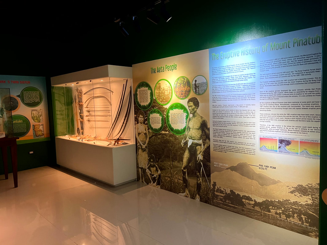
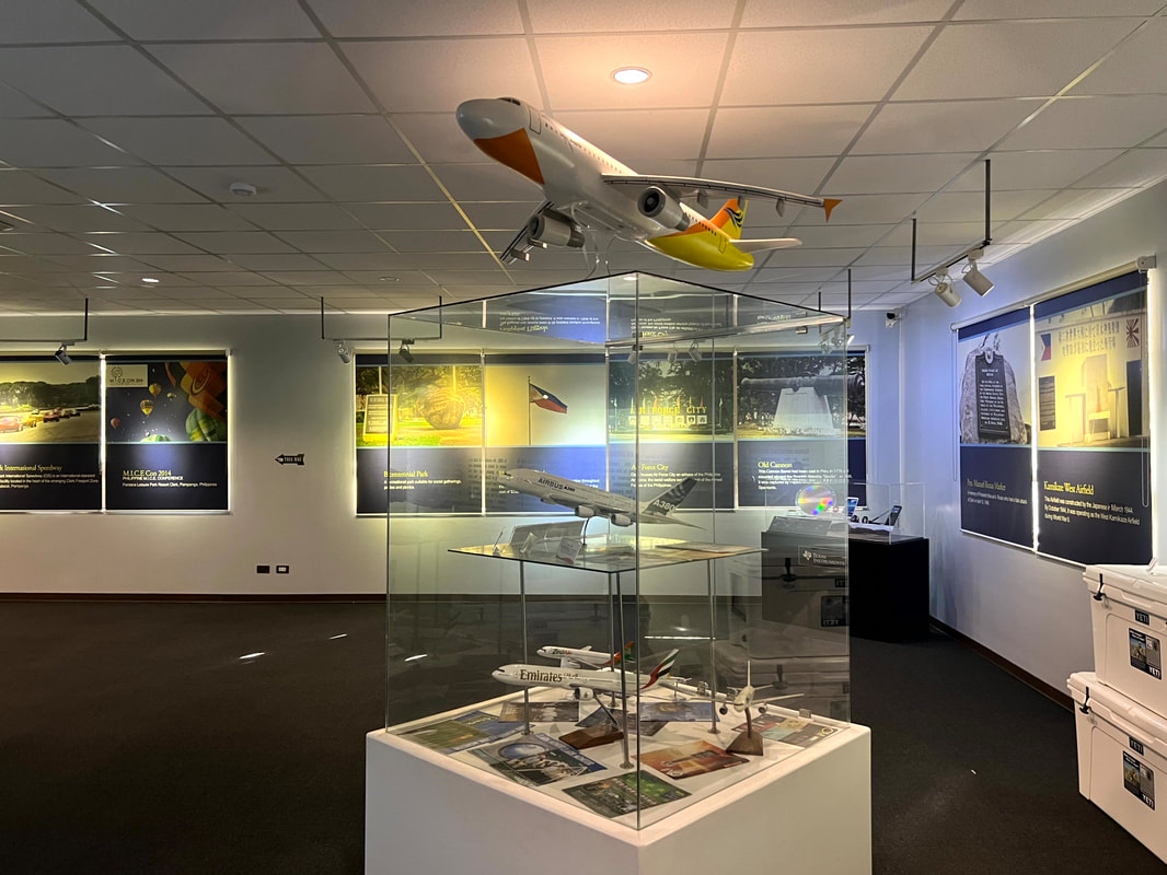
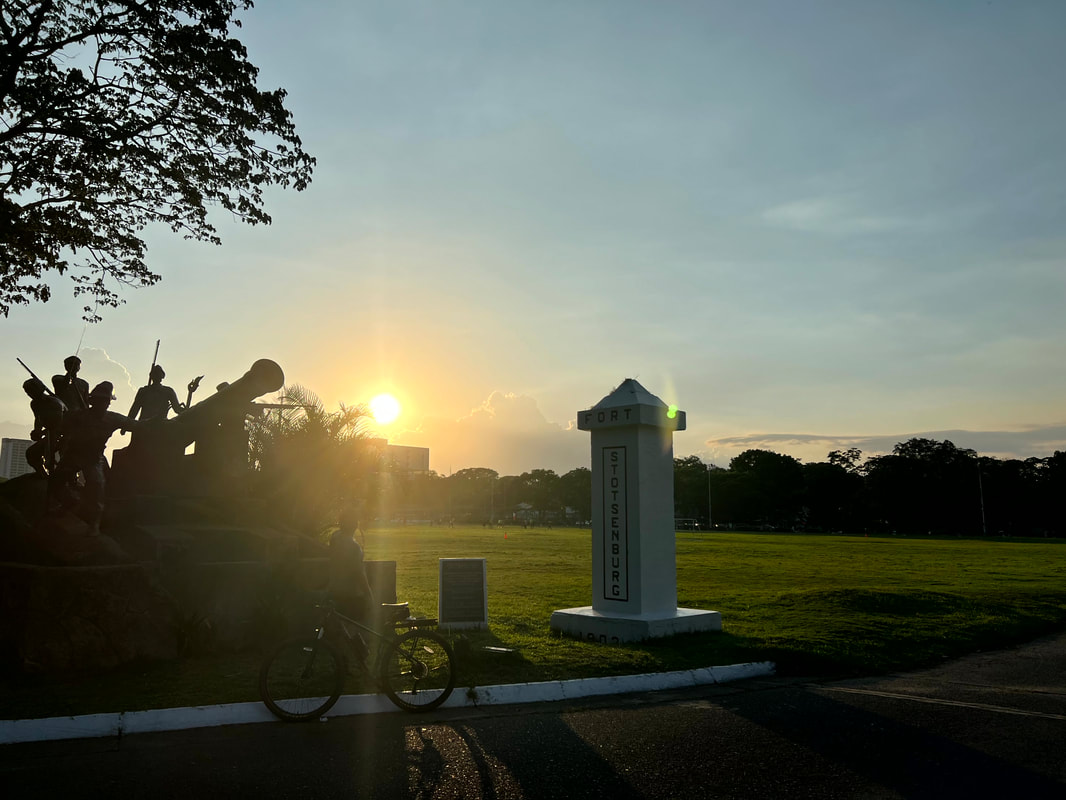
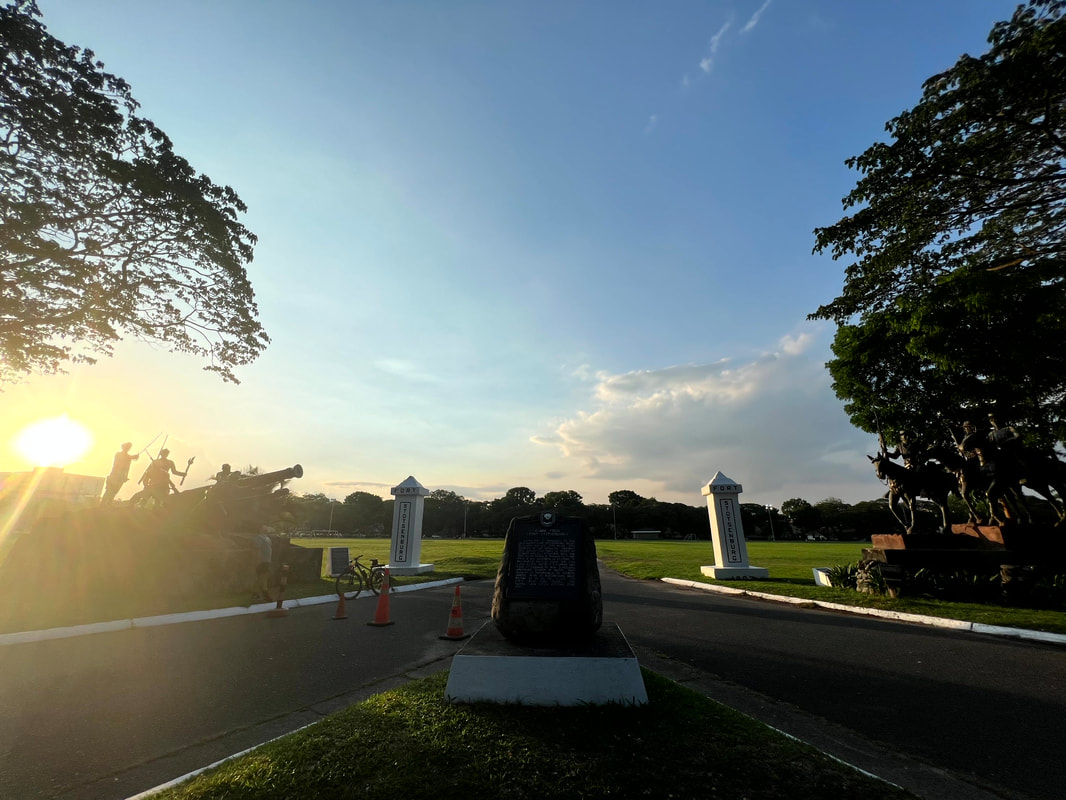
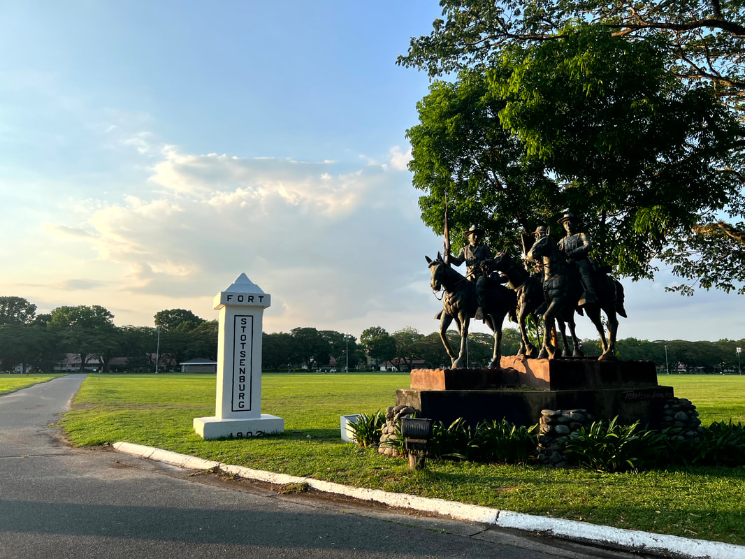
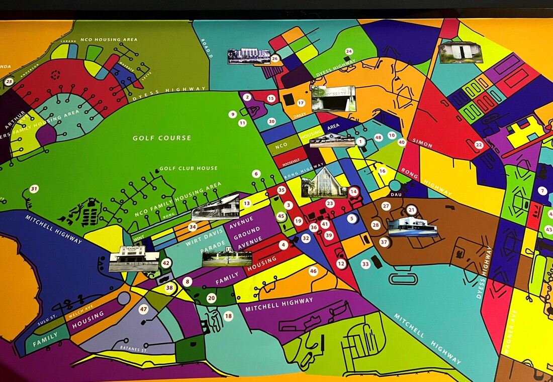
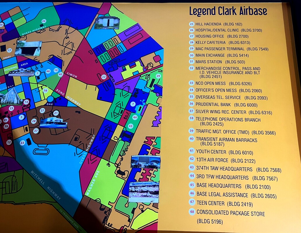
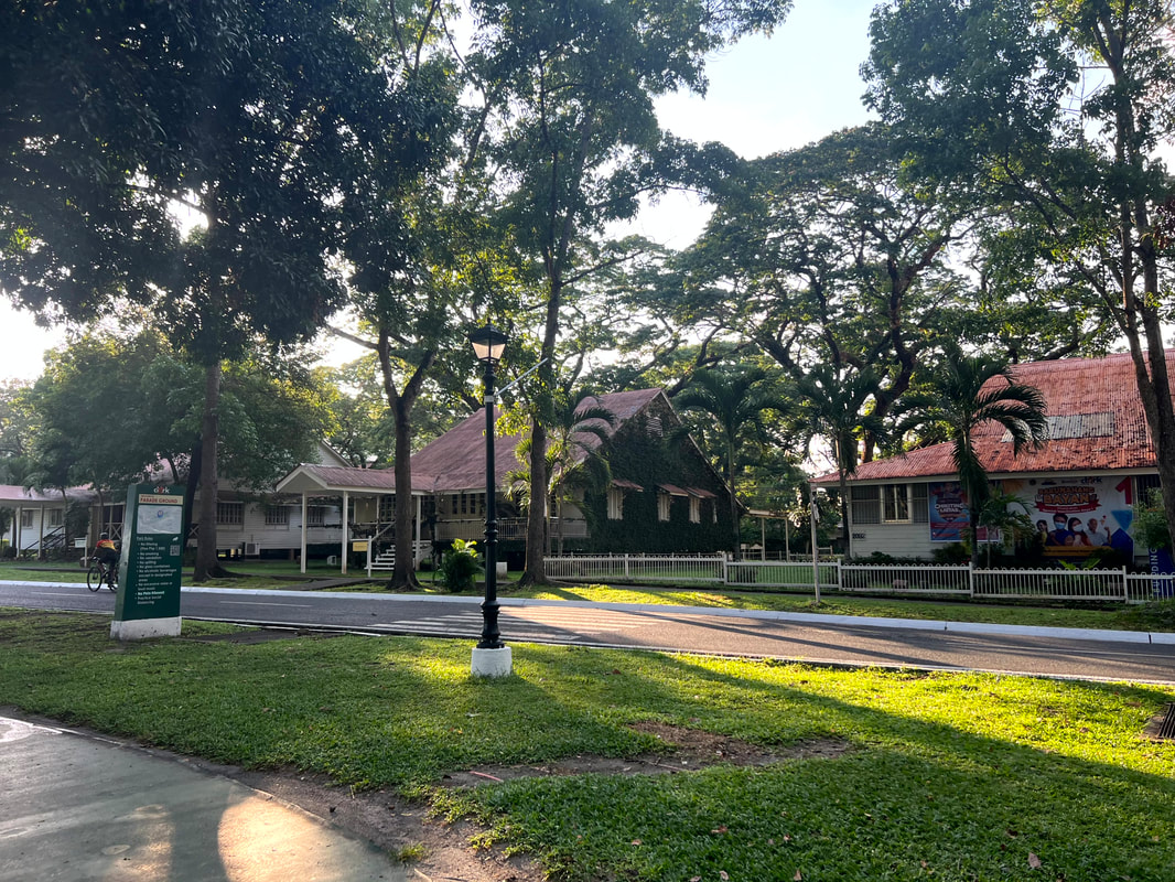
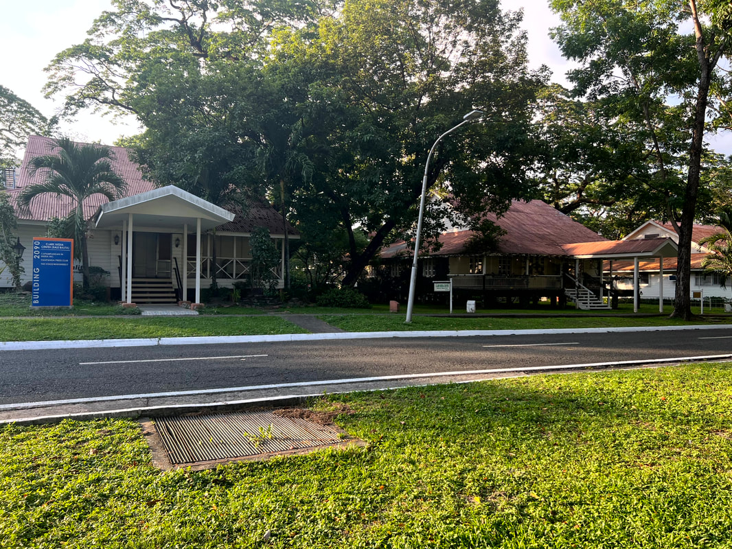
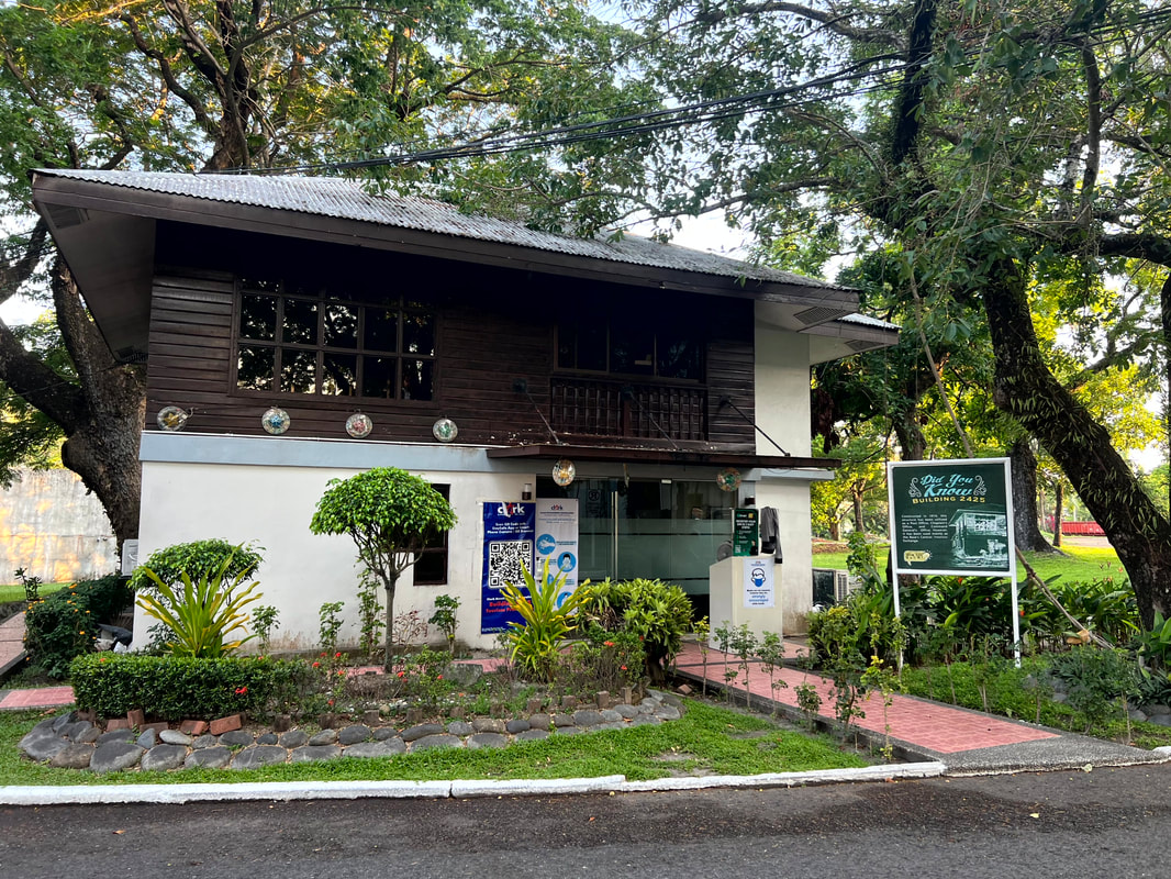
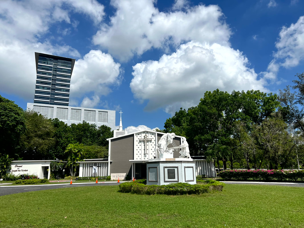
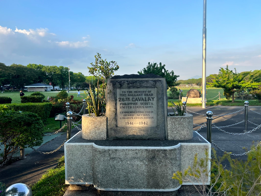
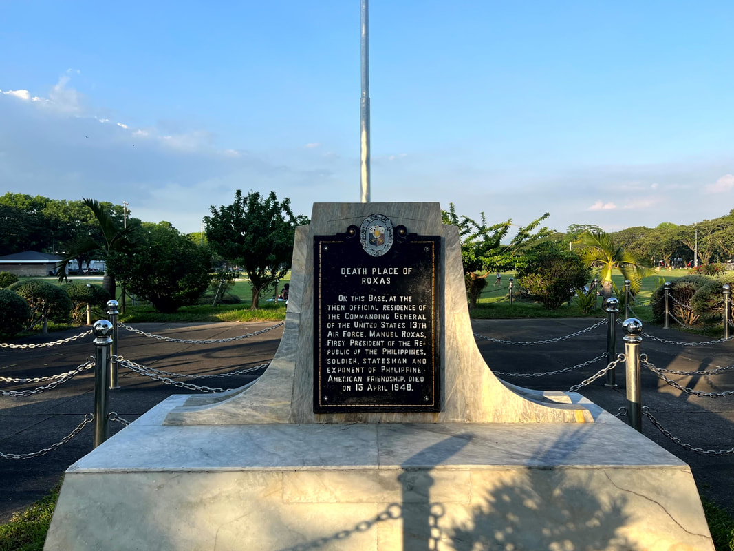
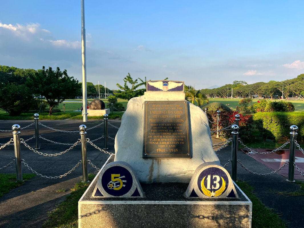
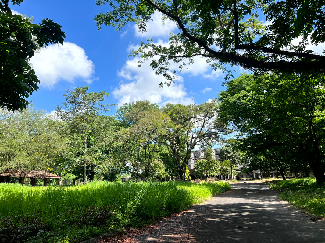
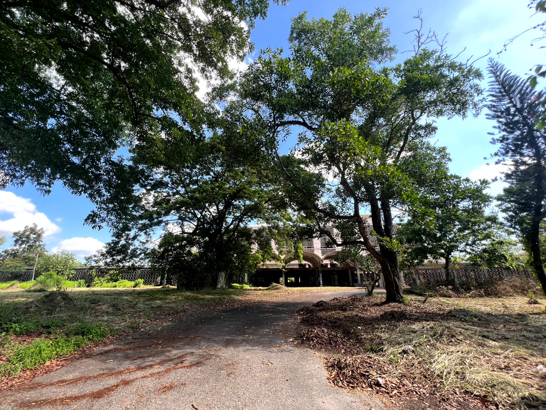

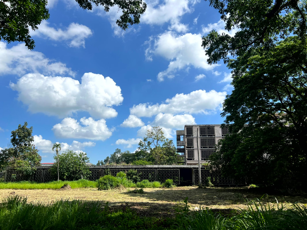
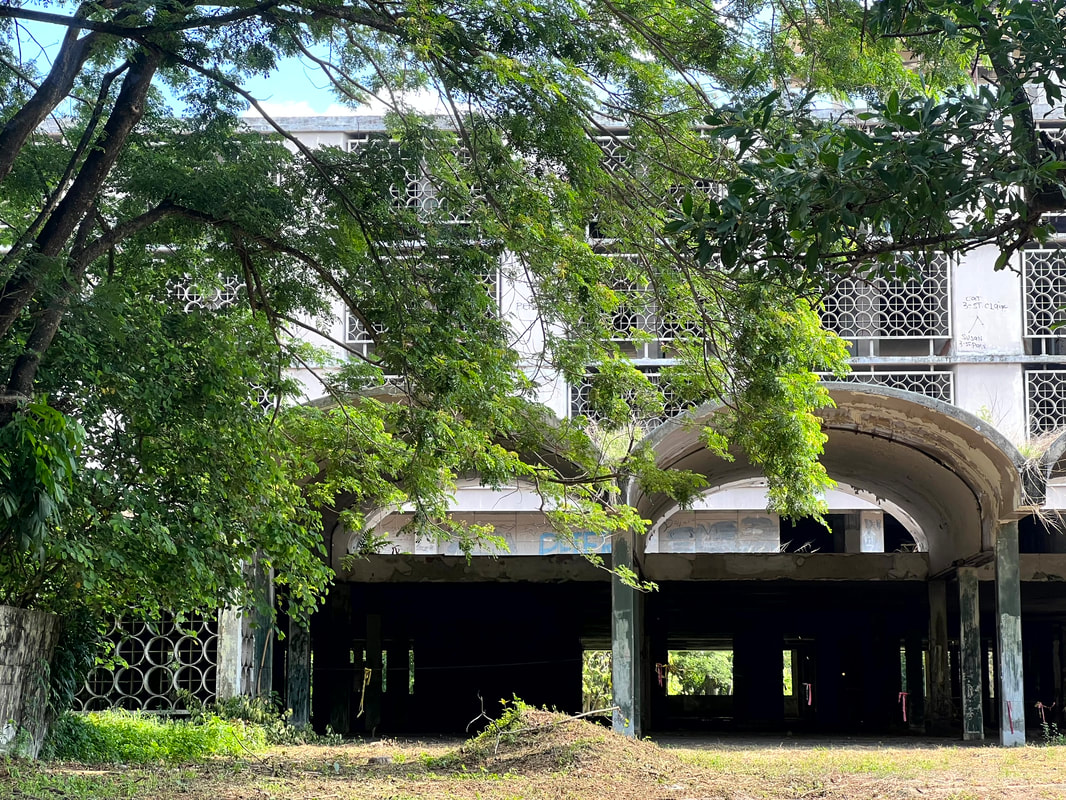
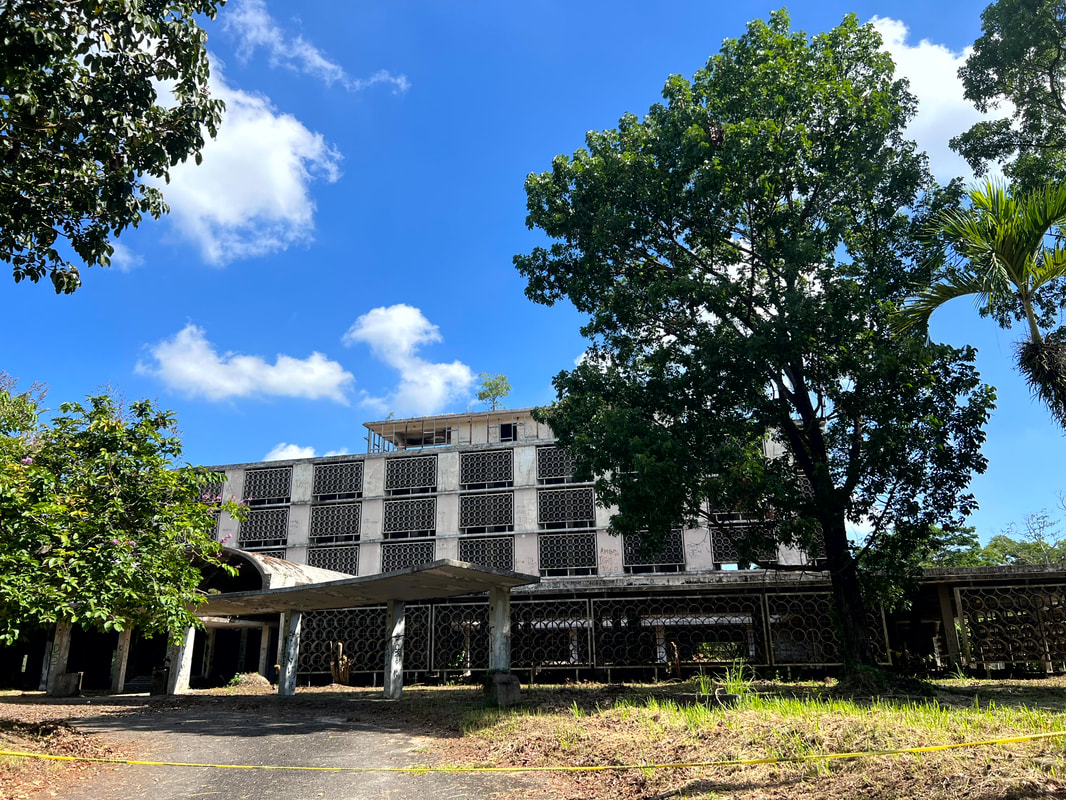


 RSS Feed