| marc7 travels |
|
2022 was a year of travel revenge and recovery for me. As travel restrictions got eased, I had the chance to explore new provinces after almost two years of staying close to home. It also meant enjoying, again, the exhilarating feeling of riding a plane. It was a breath of fresh air and renewed excitement to explore the different corners Philippines once again. Visayas was my core travel this 2022 with its eastern side sweeping me off my feet. I was also more into the offbeat destinations this year which gave me a more raw and relaxed vibe of Pinas. It was a nice way to re-start my passion for local travel and working towards visiting the remaining provinces to complete my #GOT81 project. Just like previous years, I will be closing 2022 with my #Top3PinasDestinationsFor2022. These destinations are all off-beat and are waiting for their turn to shine. Guiuan, Eastern Samar Guiuan was love at first sight for me. I loved how the laidback vibe of this town on the eastern side of Samar fused with the natural beauty of its coastline. It is a a little piece of heaven for beach lovers. It gives you that adrenaline pumping waves on one side and a more relaxing one on the other side. It has a perfect match for every kind of beach person. Apart from its beach spots, you can also enjoy the different natural and historical attractions that Guiuan has to offer. This quaint town played a crucial role in our country’s history, both in Magellan’s voyage and in the country’s liberation in World War 2. The town is seasoned with a perfect mix of history, religion, natural beauty, and people that makes it hard for anyone not to fall in love with the place. Guiuan is my one and only. It was one of those destinations where I actually foresee a good future for development and a great place to settle down. It is a destination that I plan to visit again soon. It captured my heart and I sorely miss it. Sambawan Island, Biliran Sambawan Island was a welcome break from the stress of a divisive national elections. It refreshed me of “back-to-basics” travel where you live a day with the barest of necessities, and that meant sleeping on wooden floors without electricity and limited water supply. It also meant having to “survive” with what food that you brought with you. This came as a surprise as I really thought that the island was “touristy”. The island was a perfect spot to disconnect. It was rustic and laidback that you have got nothing else to do but enjoy the island in its raw form. The different angles of the island, from its viewing deck, were all amazing. Walang patapon. In fact, you will get a full load of a tropical island life as you enjoy the full day of enjoying your time for self while communing with nature. Here you enjoy everything as time slows you down. Sambawan Island was a perfect spot to re-start and recharge. It was living the island life at its finest. I just hope that further development of the island will preserve its natural beauty and calm vibe. It was nice that an island like this gave me a much-needed respite from the strains of urban living. Quirino Naging mailap but I finally got it covered and I do not regret having explored it. Quirino is a landlocked province that is offbeat and underrated. The rugged terrains of the province is a treasure trove of natural attractions above and below it, not to mention the waters that snake through its land. It gives you a wide range of travel experience that drives your adrenaline to relaxing your mind and body. The province can be quite a challenge to explore because the destinations are spread out along the expanse of its mountain ranges. Although road systems were already built for easier access, public transport to these destinations can be quite a challenge. Take the time to enjoy the spots. Enjoy the rush and breathe in the rugged natural beauty of Quirino. Quirino remains rugged and offbeat keeping most of its attractions in its pristine beauty. Since all of its attractions are inland, it will take time for the usual travelers to appreciate its beauty. It is one destination that I would like to see come out of its shell and be given the attention that it deserves. POST TRAVEL NOTES As we enter a new year, I am excited to explore more Pinas destinations. I am excited to work on most of my last 14 Pinas provinces to complete my project. My target is to complete my #GOT81 project in the next two years. Here are the destinations that I am working on this year: BaSulTa (Basilan, Sulu, Tawi-Tawi) - These three destinations are my ultimate goal for this year. I think it is about time that we give the natural and cultural beauty of these destinations the attention it deserves without the prejudice. Marawi City - Ravaged by war, the city was rehabilitated by the Duterte administration. The once “hostile” territory is now an attraction that also deserves attention without the prejudice. Dinagat Island - The islands of Dinagat is calling again. This was one destination that I had to miss out because of the lockdowns. I guess it is calling me out again. Sorsogon - I have always wanted to backpack around Sorsogon. It has been on my plans for years now. I guess it is time to start putting the plans into action. Mount Pulag - The sea of clouds beckons. I need to see the sun rise from this vantage point. I know that it is going to be a perfect view. Traveling around Pinas is in my genes. Nothing beats enjoying the rhythm and the beat of our local destinations. While it is true that we have one of the most beautiful spots here in the country, its beauty is further brightened up by the Filipino spirit. My hope is that more Filipinos will discover and share our country’s beauty this 2023.
0 Comments
The City of Pines has been my second home. A month doesn’t go by without me having to enjoy its cold climate and its city lights. Nothing beats having to enjoy a nice steak meal at Sizzling Plate or finding my way inside the Baguio Public Market. As I struggled to find an interesting travel topic to blog about, I came across an article that there was once a proposal to declare certain spots and areas of Baguio as a heritage structure and/or area. The list included the city’s iconic street - Session Road. Session Road is THE most popular street in Baguio City. It has been a major business area of the city from the time that the city was chartered by the Americans until the present. It is a major stage for the city’s events from the annual Panagbenga Festivities to its Weekly Sunday Market and Street Performances. But probably unknown to many is the historical value of Session Road that makes it worthy to be considered as a heritage zone of the city. Site of the First Philippine Commission A historical marker tucked conspicuously along Governor Pack Road tells us how Session Road got its name. The site where the Baden Powell Inn is located was once the venue of the session of the Philippine Commission that officially declared Baguio City as the country’s Summer Capital. The name of Baguio’s famous street was in reference to this historical session. This official government meeting marked the start of the development of Baguio. Unfortunately, the Baden Powell Inn is no longer in operation. Its American Colonial design remains intact against the backdrop of Baguio’s downtown area. Looking in from the outside, I guess there are some sections in the inn that offer a panoramic view of the city. I really hope that the local government can invest resources that will preserve its structure together with the rich history of the place. Casa Vallejo Established in 1904, Casa Vallejo is considered to one of the oldest institutions in the city. It was first used as a dormitory, assigned as dormitory 4, for workers who were helping build the city before being converted into a hotel in 1923. It survived the carpet-bombing during World War 2 preserving its American-colonial architecture that we still enjoy until today. It is recognized for its historical value with it own NHCP Historical Marker that was unveiled in September 2019. I remember, during my younger years, of passing by the unoccupied Casa Vallejo. It looked creepy and haunted that it added chills to the already cold weather of the city. I thought that it was a perfect set for a horror film with its old wood architecture in its dilapidated state. Fortunately, the development in the area gave the casa a new lease as a hotel, the oldest in the city. Today, Casa Vallejo is now a popular food tourism destination with its Hill Station Restaurant. It offers good food with its rustic ambiance. The hotel is also fully functional with its cozy old-Baguio style lodge. Casa Vallejo’s location is an ideal as it is close to most of the attractions in the city. Our Lady of Atonement Cathedral One of the main attractions in the City of Pines is the Our Lady of Atonement Cathedral, more popularly known as the Baguio Cathedral. This Cathedral by the hill distinctly stands out with its pink color exteriors and two spirals that dominate the city skyline. The church was completed and consecrated in 1936 and was dedicated to the Our Lady of Atonement. Unknown to many, the church became a refuge to Baguio residents in World War 2. It was one of the few structures that survived the carpet-bombing saving hundreds of lives. In fact, history remains intact within the church’s grounds where the remains of the thousands of people who died during the liberation are interred. A small memorial serves as reminder of the location and the tragic event. The church stands out from the city skyline because of the two spiral belfries and its pink exteriors. The stained-glass windows that adorn both the interior and exterior of the church is an attraction that is worth admiring. The flower-shaped stained-glass window is a feature unique to the Baguio Cathedral. The wood interior design of the church gives it a homey and rustic vibe. The church grounds are connected to Session Road via a 104-step staircase. The removal of the roof structure gave the staircase its original beauty. You get to be amazed by the city view as you walk down the steps of the staircase. A view of the staircase from the base gives Session Road that romantic vibe. Session Road Session Road is the central business district of Baguio City. The hillside road is home to many local and homegrown businesses and offices. It is lined with a wide selection of food establishments and shops that you can choose from to dine or shop. There is even ukay-ukay shops where you can get good and branded finds at bargain prices. Session Road played a huge part in the history and development of Baguio. It served as a major artery that connected the center of American governance, located at Upper Sessions, with the local center of commerce. It was a no brainer that development would spur along the area. Some structures along Session Road were proposed to be considered to form part of its heritage area. You can check out the Laperal Building which is reminiscent of old Manila apartments. Further down the street, you have the PNB Building, the MS Building, and Pines Arcade. Session Road comes alive during Sundays and during the annual Panagbenga celebration. The road strip is closed on Sundays to traffic, giving pedestrians an opportunity to enjoy the stretch with shops, cultural shows, and performances from local artists and cosplayers. A portion of the street is also closed for artists and artists-at-heart for their chalk artworks. Session Road is also the main stage of city’s activities from the float parade of the Panagbenga to the Lantern Parade during the city’s Christmas celebration. Session Road is a vital road link in the city playing a huge part in the city’s history and development. It also a main stage to most of the city’s activities. It can easily shift from a bustling business area to a romantic road side to a festive stage that celebrates the colorful culture of the Cordillera. Malcolm Square Malcolm Square is another stage for the city’s cultural exhibitions. During the earlier years of the city, it served as the local’s dog market. A swamp separated the market from the stone market. The square is now an open park and venue. It sometimes hosts activities and fairs that feature cultural shows and trade fairs. It forms part of the business district since it is sandwhiched by Session Road and the public market. Two structures being considered to be part of the heritage site of Session Road are Plaza Theater and Arevalo Building. Maharlika Stone Marker The original Stone Marker of Baguio City’s old Stone Market is mounted on one of the pillars in front of the Maharlika Building. The site where the building now stands was the original location of the city’s market. Originally called Javjavan, the stone market was built by German prisoners in 1917. It was re-constructed in 1958 but was totally destroyed by fire in 1970. It was in the 80’s that the present structure was built and only the Eagle Stone Marker of the market was preserved from the original structure. The marker and a brief of the market’s history are now on display in front of the Maharlika Building. The market has expanded and has become a tourist attraction of the city. Maharlika, on the other hand, has remained to be the home of local businesses including shops that sell souvenir items. POST TRAVEL NOTES Baguio City is a favorite weekend destination because of its climate and proximity to Metro Manila. It has continually reinvented itself as a destination with a good mix of the old favorite spots and new attractions, not to mention, having a wide selection of food spots that will surely give you a good fill mentally and physically. But beyond the shine and the glam that go with its popularity is the sad reality that it needs to really focus on preserving the rich heritage from its humble beginnings. It needs to invest in keeping the old alive despite the changing landscape of the city. This way it ensures that the future visitors, both new and returning, are able to enjoy the uniqueness that made the city a summer capital. Keeping our heritage intact despite the changing landscape of our local destinations can be a huge challenge for local governments. It is always presumed that it is a tug between preservation and development. What needs to be done is to look for the balance between the two. Preservation and development can co-exist but there is a need for all shareholders to cooperate in finding a viable solution. That’s where the challenge lies. #MahalinNatinAngPilipinas #SamaSamangBabangonMuli Getting there: There are regular trips from Manila or Pampanga to Baguio City where two of Luzon’s major airports are located. The trip takes about 4 to 5 hours from Manila. There are also regular trips from other major cities in Northern Luzon. Philippine Airlines will start direct flights to and from Cebu City on December 2022.
The mist floated along the side of the mountains as the morning sun breaks out from the east. The soothing silence surrounding me was ethereal. I felt the peace, the calm, and the oneness with nature. It was good to be in the middle of this safe and earthly spot, grounding myself with and in it. It was a welcome break from the urban sound. It was a needed and well-deserved break for me and my team after two very long years of struggling with the pandemic. Lake Mapanuepe hummed that we were out of the woods. Lake Mapanuepe’s story goes back to the eruption of Mount Pinatubo in 1991. The lake rests on the Mapanuepe Valley where the two rivers of Maranella and Mapanuepe once flowed. The valley was home to thriving communities and villages until lahar flow from the eruption of Mount Pinatubo blocked the flow of the river water to the Sto. Tomas river. The water submerged the valley and the communities creating Lake Mapanuepe. Be Ready to Camp It Out! The sprawling land surrounding the lake are perfect spots for camping. The lakeside views and the pine tree-lined landscape gives you that rustic country-side vibes. The views were masterfully crafted by nature that it gives an attraction that is unique to Zambales. The best way to enjoy the place is to camp out. You can camp out under the trees or choose to camp by the lake. You can hang your hammock to enjoy a relaxing nap under the skies. Enjoy friendly conversations and exchange stories over drinks and bonfire. Or enjoy a clear view of the stars while enjoying the feel of the rough ground on your back. If you plan to camp out by the lake, make sure that you purchase your supplies beforehand as there are only a couple of small stores, with limited and expensive supplies, at the campsite. Facilities are decent with common showers and toilets. The camp grounds are wide and safe so you can choose your own private spot. Have Fun Under the Sun The place is a perfect location for friend get-togethers and team building activities. Our choice of campsite gave us the opportunity to have fun and wacky activities. The wide space had us running and goofing around as our laughters echoed in the area. Our team was lucky to have fair weather that allowed us to enjoy our team games. It was fun seeing the big smiles as we competed on wacky and physically demanding games. The sprawling open space beside our campsite allowed us to run around and getting ourselves wet from our water bombs without having to worry about encroaching other camper’s area. Our area was all smiles and laughter from all the fun and rough plays that we were doing. Lake Mapanuepe’s huge spaces are perfect for team outdoor activities. You can be as creative and as wacky with the games that you can prepare. It is a huge play ground where you can drown out the silence with the shared laughter and good fellowship. Go Out and Explore Swimming in the lake is not yet allowed as they still have to measure its actual depth. You can explore the banks of the lake and choose your spot where you can sit down and sunbathe or simply enjoy a nice feet dip in its cool waters. If you want to explore the expanse of the lake, you can also hop on a boat and visit the steeples of the Sunken Church of Bojaoen. The sprawling grounds of Mapanuepe is also worth exploring. Although swimming is not allowed in the lake, there is a swim spot downstream. We trekked to about 20 mins., making our way where locals were fishing. The spot is where locals do their usual stuff such as doing laundry and washing. They warned us that to stay on the side as the current was strong on the deeper part of the channel. There were a lot of interesting spots around the lake from grazing fields to pine tree covered areas to its beautiful lakeside. Each spot offers a different kind of personality. There is a spot for sunset and sunrise viewing. But the best spot would still be the lakeside where you can get to see the unique and amazing views of the Lake Mapanuepe. Chilling It Out I guess what I like the most was chilling it out at Lake Mapanuepe. It was nice just enjoying moments with nature - whether it be in my hammock or by the lakeside. I loved how the morning sun broke out from the horizon and the peaceful scene of the placid lake. Like how I described it earlier, it was beautifully surreal. It was relaxing just watching the day unfold as you listen to the songs on your favorite playlist. Too bad that I did not bring a book to read because the place is conducive for you to read and finish a book or to finish is a Netflix series. Lake Mapanuepe is also a good place to bond with friends and family because you get the chance to detach from the world and just focus on sharing stories and laughter. The best way to enjoy Lake Mapanuepe is to let loose and chill. Get disconnected and focus on the moment. Get grounded and connect with nature. Enjoy the time as it slows down. Take the time to recharge and prepare for the days ahead. POST TRAVEL NOTES Lake Mapanuepe was a much-needed break for my team. After having challenged the and having worked with them through the recovery, it was a well-deserved two-day hiatus where we got disconnected and simply have fun. The teambuild reminded us that we can never go wrong with the basics just like camping out. That it is important to have fun in everything that we do and to explore opportunities for us to be successful. Lastly, we need to find a balance in work and in life. It is important to chill down and re-energize for future challenges. We all need to take a break to keep a balance. Lake Mapanuepe gives you that opportunity to disconnect, chill down, and re-charge. It also gives you that chance to get grounded with nature enriching your senses the natural way. Lake Mapanuepe slows down time and makes you appreciate the simple things in life in a fun and refreshing way. #MahalinNatinAngPilipinas #SamaSamangBabangonMuli Getting there: Our teambuilding trip was organized by the LaagTa Travel and Tours who handled the logistics of our trip – transportation, tent accommodation, and food. You can check out their Facebook page here for their upcoming joiner trips to Lake Mapanuepe.
September kicked in faster than I thought and with it comes the start of the longest Christmas celebration in the world. At this early, Christmas carols are being played on the radio, malls get spruced up with holiday cheers, and some households even start decorating their abode. One palengke destination that comes into mind when the “ber months” set in is a small block tucked in Quezon City where you can get house furnishing and holiday decorations at REALLY low prices! Sino bang hindi pa nakakapag-Dapitan Arcade? Located along Dapitan corner Kanlaon Sts. in Quezon City, Dapitan Arcade is a your one-stop shop for almost anything for your home. This “artsy” palengke is like a surplus shop where manufacturers drop in production excesses and overruns. That means, you get quality items at cheaper prices versus prevailing market rates. The corner business area has expanded through the years with two adjacent warehouses and small stores along its side streets. The place is busier on weekends and during the holiday season. The Old Arcade The old arcade is a one level arcade where you would find home furnishings and gift items. Living room decorations are a handful from native lamps, decorative mirrors, wall decors, and decorative ornaments. Dining room necessities all come in different designs and sizes. You can choose home furnishings from different designs depending on the concept that you are working on. The old arcade is also a good place to shop for gift items for every occasion. You can buy a nice locally made watch box or jewelry box for dad and mom. You can buy a nice coffee or beer mug for kuya and a nice candle holder for ate. For bunso, you can buy a nice looking piggy bank where he or she can store spare coins. You can also buy a nice desk lamp or a dinnerware set for a friend who is celebrating a birthday or a wedding. The arcade is a one stop shop for home items that won’t hurt your pocket. Warehouses There are two warehouses around the area. I guess the warehouses were “expansions” as Dapitan Arcade started to become popular. The warehouses offer a more “relaxed” way of shopping with bigger alleys and its high ceilings unlike the original arcade which is more cramped. Prices do not differ much and it only offers a more “breathable” shopping experience. The warehouse adjacent to the old arcade, along Kanlaon Street, also has shops that offer home furnishings and decorations. One thing that I noticed though is that it has more shops that offer dining and kitchenwares. The Dapitan Tiangge is another warehouse is just across the old arcade along Dapitan Street. It also houses shops for home furnishings but this is where you can also find religious items for your home. Side Street Stores The Dapitan experience will not be complete without having to explore the stores that line the streets of Dapitan and Kanlaon. The small shops also sell native home decors. This is the best place if you are looking for native wooven baskets, wood products, dried flowers, and capiz products. Again, the side street shops serve as an extension of the arcade and warehouse shops. These shops have more selections on local handicrafts. I usually scout the shops first before checking out the arcade because their prices are often cheaper if you know to haggle. Expect to have more side street shops on weekends and during the Christmas season. POST TRAVEL NOTES Dapitan Arcade is a home buddy and artists’ corner. It allows you to explore and execute your creativity with your home or room as your canvass without having to bust your pocket. It is also a great place to source out quality gifts for family and friends at a more affordable price compared to getting it in the mall. Dapitan Arcade is an all-season shop for everything that you need at home whatever the occasion may be. I am glad that I have finally got to do a palengke run after a long time. I always check out public markets during my trips because it gives a glimpse of daily life of locals apart from scouting local products. It is the center for commerce of communities and you get to see business climate and behaviors when you visit the palengke. It is an attraction in itself showcasing local products, local hospitality, and the Pinoy smile. #MahalinNatinAngPilipinas Getting there: If you are coming from Quezon Avenue or from Cubao in Quezon City, you can take a jeep or a van heading to Quiapo and ask the driver to drop you off at Rotonda. If you are coming from Quiapo, you can take a jeep or a van to either Quezon Avenue or Cubao and also ask the driver to drop you off at Rotonda. You can take a trike beside Sun Residences to Dapitan Arcade.
If they call this revenge travel then let me say it out loud… I AM LOVING IT! The past months have been a series of riding planes that made me realize how much I missed it. I jumped into the raging waters in Cebu and I was able to cover most of Eastern Visayas, thanks to plane tickets that were going to expire. Capping off my “revenge travel”, I decided to take it a bit slower by joining a group tour to one Philippine destination that’s been elusive to me for years. So if you’re G… let’s all see… the province of Quirino! Quirino is a landlocked province north of Metro Manila. It has a total land area of more than 3,300 square kilometers, along the upper portion of the Cagayan River, where a large part of its area is within the Quirino Protected Landscape. The province is an off-beat travel destination and exploring the province can be a challenge because of the distance and transportation between attractions. So for this particular trip, I joined a group tour organized by the FB travel organizer, Bernation, for a weekend of a rugged Quirino exploration. Quirino Capital (Cabarogguis) What better way to start the weekend adventure with a quick stop at the the provincial capitol of the province in Cabarogguis. The province was originally a sub-province of Nueva Vizcaya, whose name was in honor of former President Elpidio Quirino. It was granted full provincial autonomy in 1972. The provincial capitol serves as the center of provincial governance. The sprawling capitol grounds houses the capitol building, the provincial library and museum, and sport facilities. This is where you will also find the “Quirino” marker that stands at the entrance of the library and museum. Siitan Nature Park (Nagtipunan) The Siitan Nature Park is a camping destination in Nagtipunan. It is popular for two attractions - the Siitan River and the Bimmapor Rock Formation. Apart from camping, the park also offers boating and tubing activities while you get to enjoy the views of lush forest covers and rock formations. Siitan comes from the Ilocano word “siit” which means “thorns”. The river banks of Siitan was once populated by thorny plants hence its name. The river connects with the Cagayan River and cruising can be done via wooden boats called “balasyan” or by water tubes. The river cruise will give you amazing views of limestone rock formations and the forest covers in the area. Our group went for a boat ride along Siitan River. The river cruise gave us a cool mix of the rush, as we rode through its rapids, and chill, as we glided along its still waters. The towering limestone formations was an amazing sight. It was like I was in a “Jurassic Park” set. There were areas where we had to disembark and cross the dry strip because some parts of the river was to shallow for a balasyan, full of guests, to cross. There are parts of the river where you get to swim and/or cliff jump. Bimmapor Rock Formation (Nagtipunan) Another attraction at Siitan Nature Park is the Bimmapor Rock Formation. The nature park has a collection of rock formations along its banks but the most popular and most accessible is this rock formation. The best vantage point is about a 10-minute walk from the campsite. The rock formation is said to have derived its name from the local word “bapor” which means ship as the rock is shaped like a huge ship’s hull. It towers along the banks of the Siitan River and you will be amazed at the details of the layers of rocks that surround it. It is best to capture the Bimmapor Rock Formation from a distance to capture the details and the dramatic landscape of the the nature park. Diamond Cave and Forest Park (Nagtipunan) Since Quirino is a landlocked province with mountainous terrains, spelunking is an activity that you would get to enjoy in the province. Diamond Cave is a popular spot for that thrill of getting into the bosom of its rugged landscape. The cave system got its name from the sparkle that its rock surfaces emits when hit by light, it looks like the sparkle of a diamond. The cave traverse roughly takes about an hour which will have you wet and muddied as you exit the cave. Our cave exploration started with a safety orientation with our guide before making our way inside the park to the mouth of the cave. It takes roughly about an hour of traverse from entrance to exit. You will be treated with an amazing collection of stalactite and stalagmite rock formations that glisten when light strikes its surface giving it that “shine like a diamond” spark. The experience had us walking, crouching, and scrambling over rocks while we enjoyed nature’s artworks. There were stops along the way where you get to catch your breath and enjoy the beauty below the ground. Spelunking is one activity that has got me curious over the past months and I think Diamond Cave is a good start for beginners. It was a relaxed traverse inside the cave that had us comfortably making our way while getting wet and muddy. It was not as challenging as my previous cave adventures but it definitely had the thrill and excitement of being under. Landingan View Point (Nagtipunan) After enjoying exploring what’s under Quirino, we then made our way to the Landingan View Point for a top view of Quirino’s rugged landscape. The view point sits atop one of the hills of Quirino that gives a 360-degree panoramic view of the surrounding mountain ranges and the Cagayan River. The view from the top is simply captivating. The Landingan View Point was developed as an attraction from an unattended hill to a flower garden. The best view is from the top where you get to see the flower gardens against the backdrop of the mountains and the river. There are two ways of exploring Landingan. The first is by starting from the gardens and you move up to the view deck. This, however, is going to be physically challenging as you would have to navigate thru the steep ascend to the top. Then you would have to walk back down. The second is by going up the top of the hill by car via its “back” entrance. We made our way through a short flight of stone trails before enjoying the awesome view from the top. There are rest huts at the top where you can relax and enjoy the view and the breeze. Stone fortifications are being built to get around easier and for better aesthetics at the top of the hill. You also get to appreciate the beauty of the flower farm as you hike down the steep slope. Ganano Falls (Diffun) Baguio Village is a small community that lies within the Quirino Protected Landscape. The village is the jump-off point to one of the popular attractions in the province Ganano Falls. I stayed close to one of our guides, Kuya Fernando, who gave a glimpse of their life as guides as we hiked to Ganano Falls and the other 3 downstream cascades. It takes an hour of hike from the jump-off point to the base of Ganano Falls. The trail was already established and their were initial plans of a concrete road for easier access to the falls bit it was later on shelved for environmental reasons. It was an easy traverses through the forested area of Diffun where you get to enjoy the cooler weather and shade of its trees, not to mention getting cooled down by a couple of river crossing. Ganano Falls was an amazing sight once you get to its base. The water of the falls cascades at a height of 100 feet onto boulders before running downstream. The boulders serve as a good vantage points to see the full beauty of the waterfall and platforms for IG-worthy shots. You could find your own spot at the base of Ganano that would suit the perspective of the falls that you want to capture. From Ganano Falls, we made our along the river banks. There are three other cascades along the downstream river. Sinipit Falls is a multi-cascade waterfall. It has a wide rock face where you find three cascades. This is where I enjoyed our stop because I was able to cool down as I enjoyed a dip in its basin. We also found a spot where we enjoyed a soft massage from its cascade. We moved further downstream towards the Nantugaw Rock Formation. It has a wide and single cascade but its biggest draw is a large boulder that sits near the edge of its cascade. The water running over is not as strong as the others that you can actually sit along its rock face. A few more minutes down the trail is the Sabangaran Falls. It is a single cascade that is roughly about 8-10 meters in height. Water cascades into a catch basin where one can also take a dip. Chasing waterfalls in Diffun was relatively a chill and easy adventure. In more or less two hours, you get to see the beauty of Ganano Falls and the other attractions as you hike back to the village. The best part of our experience was we got to enjoy the place without the crowd which made communing with nature a more pleasant experience. Governor’s Rapids Nature Park (Maddela) Governor’s Rapids is another popular attraction in Quirino for a range of activities that it offers that will get your adrenaline rushing at the start and gets you chilling by the end. The river is part of a tributary of the Cagayan River and has been awarded as one of the cleanest inland body of water in Cagayan Valley. It is believed that it got its name after the river claimed the life of a Japanese Governor during World War 2. Just like the other attractions in Quirino, the nature park has a lot of interesting points along the river and activities that will get you either wet, tossed, or both. At the top of this activity is the river tubing along the Bisangal Rapids. The river of the nature park is ideal for white water rafting and tubing, especially during the rainy season. Although the river tubing was a bit short that had us wanting for more, it tossed us wildly enough to give us the adrenaline rush. We then enjoyed a chill river ride where we got to see the amazing limestone rock formations along the river. The cruise will take you to different interesting spots of the park. The limestone formations of Siminublan, Stage 1, and Stage 2 was beautifully crafted by nature through thousand of years. There are spots in the area where you can actually cliff jump from these limestone shelves. One of the highlights of the cruise was a quick stop at the Tinyente Cave. The cave is a through and through cave which can be traversed by guests. An interesting feature of the cave is a waterfall inside one of its chambers. The traverse was relatively short but challenging physically since you need to clamber up on slippery rock faces. Best part of it was having to rappel down the exit. Tiring but definitely worth it. Most of us decided to just chill out by taking a quick and refreshing dip before heading back. We enjoyed the views of the bat cave and rock formations while enjoying a laidback afternoon swim in one of the cleanest inland body of water. A quick cool down by the river with new found friends after exploring an off-beat destination was a perfect way to end the weekend adventure. POST TRAVEL NOTES The mountain ranges that surround the province of Quirino is like a fortress protecting the land from devastating typhoons. It is the same fortress that has kept the province an off-beat tourist destination. It is a province that will challenge your DIY skills because the distance and transportation between spots can be time and financially consuming. But once you have experienced Quirino, you would be smiling and you would be #QuirinoYourBasketOfHappiness back home. Traveling has been my kind of break from all the stress of my daily run. It helps me breath and regain my strength and energies to head back to my usual grind. It keeps my mind and body young as I discover new destinations and learn something new. My revenge travel was exactly that! It was my factory reset after two years of controlled movement. #MahalinNatinAngPilipinas #SamaSamangBabangonMuli Getting there: Going DIY to Quirino can be quite a challenge as there are no direct trips to the province and transportation within are also limited. You can take a bus to Santiago where you can take a jeep to specific barangays in Quirino. If you plan to go DIY, thorough planning is needed. You can also opt for a hassle-free weekend trip with FB Travel Group – Bernation. They have regular weekend trips to Quirino where they facilitate everything for you. You can check out their Facebook page here.
I have long figured out that I prefer the not-your-usual Philippine travel destinations. Having been to a lot of places in the country, there is something about the small-town-city vibe that really captures my heart. I prefer the laidback and unassuming locations where locals seem to be unaware of the beauty of their city or town. I guess this is the case of our next destination - the city of Calbayog. Calbayog City is a coastal city on the western side of Samar. The city is the sixth largest in the country, in terms of land and water area, and is a commercial hub of the province of Samar. The city is known, among travelers, as the city of waterfalls because of the numerous waterfalls that one can explore within its jurisdiction. However for this travel, we won’t be going to far but we will be exploring the city of Calbayog without the falls. Sts. Peter and Paul Cathedral (Calbayog Cathedral) The St. Peter and Paul Cathedral is considered to be the biggest church in Samar and the first cathedral designated in Eastern Visayas. Established as a visita in 1599, the construction of the present church, in Baroque-Romanesque style, started in 1840. Its floor design was in crucifix form with a dome above the transept. The church and its adjacent belfry dominates the skyline of Calbayog. The simple facade of the church is highlighted by the image of the “Our Lady’s Nativity” atop its main door and the images of St. Peter and St. Paul stands adjacent to the image. The towering Cathedral Bell Tower stands on the right side of the church. The interior of the church is highlighted by its grand and beautiful altars. The gold and white retablos were designed to look like a facade of a church complete with spirals. The gold chandeliers hanging from the ceilings and the stained-glass windows of the church complete the church’s design giving it a grandiose vibe. A prayer and baptism room is found at the bottom of the church’s belfry. Calbayog City Hall and Sacred Heart Plaza Built in 1925, the Calbayog City Hall is the center of governance of the city. It is houses the local government offices that provide services to its locals. Adjacent to the City Hall is the Handumanan Building that serves as the city’s tourism office. The building was once a jailhouse that was later renovated with a typical- bahay na bato look. Just right across the City Hall is the town plaza. The open space park is complete with benches and a children’s playground. It has a good view of the church and the city hall and is a good afternoon spot to lounge around if you want to see and feel the laidback vibe of the city. Samar Archeological Museum The Samar Archeological Museum is the only archeological museum in Eastern Visayas. Located with the confines of the Christ the King College, the museum is a repository of artifacts that was recovered and collected by Father Cantius Kobak, a Polish priest and is often referred to, in the academe, as the “Historian of Samar”. The collections include porcelains, burial jars, human bones, and religious artifacts that were collected across the island of Samar. The museum walks you through Samar’s rich past. The collection includes pre-Spanish period burial jars and human bones that indicated that early Warays already had a concept of the after death, even before the introduction of Christianity in the country. The exhibits also has on display ornaments, instruments, and war weapons that showcased the creativity of tge early settlers of the island. Religious artifacts and antiques from the Spanish period are also part of the display. It was interesting to find a local private museum that showcased local history. What is more amazing that it started because of the interest of a foreign educator who mapped the island to help us discover more about our past. I just hope that we gather more government support to dig further, know more, and share more about our colorful past. Nijaga Park and Calbayog River Snaking through the city is the Calbayog River. The water that flows through the river drains into the Samar Sea. You can actually observe the movement of the sea tides as water drains out of the river during the low tide. The river is said to help ease flooding in the city. A river esplanade was constructed right along the banks of the city. The walkway sits adjacent to Nijaga Park - another activity center of the city. The park honors the local Calbayog hero, Benedicto Nijaga, who was arrested and executed with 12 other Katipuneros for their involvement in the group. The park bears a bust of Nijaga and Rizal and also plays host to community activities. The park and the river esplanade are a beauty at night with all its ambient lights. The bridge that spans the river also gives it that dramatic vibe. Its relaxing ambiance make it a favorite afternoon spot by locals in the city. Port of Calbayog Calbayog is a commercial hub in the province of Samar. It serves as a gateway to the province with its airport and seaport connecting the Samar to the major cities in the country. The seaport has become a favorite afternoon “tambayan” of the locals. Less than a kilometer away from the town center, the seaport of the city was still buzzing late in the afternoon, not with business transactions but with locals heading up to its unfinished road project. Fishing vessels line along the mouth of Calbayog River while there were a number of pumpboats who were still waiting for passengers probably headed to the nearby islands. Locals frequent the area of the unfinished diversion road for a quick afternoon run or bike while enjoying the views of the Samar Sea and the surrounding islands. Spanish Quarter and the Pot-Pot of Calbayog Walking around the city of Calbayog gives you a unique mix of the rural and city vibe. I must say that I love how the rural vibe outplays the urban feel. The city has a Spanish Quarter where you get to see the collection of old houses of the town. The district is the area surrounding the Sts. Peter and Paul Cathedral. It is amazing to see these old structures fused with modern architecture. You also get to see the Pot-Pot which is an attraction in itself. The Pot-Pot is a basically a bike with a passenger carriage that was designed like a tricycle. The carriage is also slightly angled up compared to the usual sidecars. It is a popular mode of transportation in the city for short distances. Malopalo Marble Park I made a quick trip on the city outskirts as I was pressed for time to head back to Tacloban City for my flight back to Manila. The Malopalo Marble Park is an eco-tourism destination located along the main highway about 20 minutes away from the city. The park used to be a quarry area for marbles and efforts to stop its extraction was successful that it was turned into a park. One can already see the rustic beauty of the park from the highway. The white rock formations could already be seen from the highway. A river traverses through the park and locals offer boat tours inside the park to appreciate its beauty. Unfortunately, I didn’t have the time to explore it further. Malajog Ridge Nature Park The Malajog Ridge Nature Park is just a few meters away from the Malopalo Marble Park. The ridge and beach spot is nestled behind a towering ridge. The Malajog Beach is a popular beach spot among locals with its gray sand and still blue waters. The park prides itself for having a zipline that traverses to the nearby Daraga Islets. The beach already had locals enjoying its serene vibe and still waters when I got to the beach. From the coast, you could view the islands of Pawikan and Biyatungan on the horizon. There are cottages and resorts that line the shores but I was quick to notice that the shoreline was clean. The south side of the beach is rugged with its rock formations. I headed towards the ridge and the rock formations. Concrete platform and stairs were installed along the ridge for ease of visitors in the area. The zipline was not operational on the day of my visit. I managed to climb up the stairs to catch a panoramic view of the shoreline of Malajog. There is also a rest stop at the foot of the stairs where you get to enjoy the more rugged side of the beach. Food Munch: Calbayog Lechon Just right along the streets of Nijaga Park, vendors caught my attention for the food that they were selling - lechon!!! Lechon is one of my favorite food and Cebu was always, hands down, my favorite. Well, Calbayog’s Lechon could give Cebu’s a run for their money. I later on discovered that the streets near Nijaga Park become a lechon strip on Saturdays and Sundays where local vendors get to sell the viand. I did not miss on the chance and got me a half a kilo order to try it out and it was really good. The lechon meat was tender and juicy and you don’t need any “sawsawan” to enjoy it. Now, the best lechon for me is between Cebu and Calbayog. POST TRAVEL NOTES Calbayog City oozes with that old town charm feel that is laidback and where afternoons are best enjoyed either by the “pantalan” or walking around town with friends. Everything is within reach. You get the urban amenities like malls and posh looking cafes without losing out on a beach spot that is within reach on a weekend. You get the community spirit as they spend lazy afternoons by the plaza where almost everyone knows everyone. This is what we are missing out in the metro. The vibe where the chances of you bumping into someone you know is higher than stumbling as you walk around town. People would always ask me what do I get from traveling around the Philippines. Well, I get to see beyond the stories that we read in books or what we learn from school. I get to see how communities thrive despite the circumstances that they face. I get to hear, first hand, stories of success or struggles of individuals so I get to understand better. Hindi yung mga nauusong kwentong kunyari naiintindihan pero ang totoo… it is all for the hugot para kunyari nakarelate. I enjoy exploring the Philippines because its raw beauty comes alive more with real stories from real people that I meet along the way. It makes me realize how proud I am to be Filipino and what we need to do to become better Filipinos. Check out my latest Youtube travel video here: #ByahengOffTheGrid Calbayog #MahalinNatinAngPilipinas #SamaSamangBabangonMuli #IWantSamar #BdayTravel2022 Getting there: You can take a direct flight to Calbayog City although the flights are limited. You can also opt to take a flight to Tacloban City where you can take a van at the VS Grand Tours station in the city proper to Calbayog City. Calbayog City is about 4-hour travel from Tacloban.
The laidback and rustic vibe on this side of the Philippines caught me off-guard. I have been to different places in the country that have almost the same kind of vibe but nothing seems to come close to this destination. It makes you fall in love with it and the experience lingers in you so much that you would want to come back. Everything here seems to command peace and serenity. This is #GuiuanAndOnly. Facing the vast waters of the Pacific Ocean, Guiuan played a silent role in Philippine history - from the arrival of the Spaniards to the liberation of the country in World War 2. You would not think that this quaint beautiful town witnessed historical milestones that most of us only got to read when we were in school. Guiuan is a paradise with stories to share and spots that will keep you amazed and wanting more. The Shrine St. Anthony of Padua (Sulangan) Also known as the Sulangan Church, the shrine was dedicated to St. Anthony de Padua who is the Patron Saint of lost items, lost people, and lost spiritual goods. Locals and devotees troop to the church because of it is believed to miraculous. People offer prayers to St. Anthony with the faith that he will grant it to them. The quaint church was restored after it was damaged by typhoon Yolanda. Its interior was simple and elegant with a crown-shaped altar and a crucifix as its centerpiece. A smaller altar on the right flank of the church bears the revered image of St. Anthony of Padua. My visit was just in time because the parish was celebrating its annual fiesta. Miss Janet of the Guiuan Tourism Office shared with us that there were a number of activities lined up since it was the first face-to-face celebration after the pandemic. The activity includes the “panata” where the faithful would walk from different parts of Guiuan to Sulangan Church. Sulangan Bridge There is a different kind of love when it comes to bridges in Guiuan. Since the municipality are composed of islands, two major islands are connected by bridges to the mainland where the town center is located. Calicoan Island is connected to Guiuan via the Pagnamitan Bridge, which I featured in my previous blog, and Sulangan Island is linked by the Sulangan Bridge to Calicoan. These bridges have become an attraction in itself in Guiuan. The Sulangan Bridge is a steel bridge that spans a saltwater channel that separates the islands of Calicoan and Suluangan. From the bridge, you get to see the rustic beauty of the river side of Sulangan, the still waters of the channel, and a distant view of the island of Homonhon on the west. It is a perfect place to get that “walking on a bridge” shot and a perfect spot to laze around in the afternoon. Loading Point Beach (Sulangan) One thing that I really enjoyed in Guiuan was being able to crash into beach spots whenever there is one around. You are not charged any entrance fees so you get to enjoy the feel of the sun, sand, and saltwater on your skin ANYTIME you feel like it. The white sand beach spots were heaven for a beach bum like me. Loading Point is a white sand beach spot that is adjacent to Sulangan Bridge. The beach is located where the waters that go through the channel meet the waters of Leyte Gulf. It is a no-frills beach spot where you can rent a cottage to enjoy a full day of beach bumming or, just like me, I just found my corner by the shore to enjoy the view and its cool waters. Loading Point offers a good view of Homonhon Island. It also gives you a different perspective of Sulangan Bridge. You can also enjoy its cool and still waters and, if your timing is perfect, you also get to catch its mini-sandbar. Linao Cave and Lagoon (Calicoan) I seriously need to thank the “diwatas” that guard Linao Cave for working their powers for me to experience the beauty of this natural wonder. It took three attempts before I finally got through the cave and enjoy the beauty and cool waters of its lagoon. I seriously think that I was destined to see its natural beauty despite of the circumstances. Linao Cave and Lagoon is one of the popular natural attractions of Guiuan. The name is derived from the local waray-waray word “linao” which means “clear” to describe the clear fresh waters of its lagoon. The lagoon is located inside a cavern with an overhead cave opening where light passes through. One needs to navigate through a small cave, located adjacent to the lagoon, and swim across a smaller pool to get there. Unfortunately, I was informed by the tourism office that the cave was recently closed to allow nature to recover from its tourism activities. They told me that I can try but they cannot give the assurance that I will be able to explore the cave and the lagoon. Getting to the location was relatively easy. The jump-off point is located along the main highway and, from there, one would have to walk 500 meters to the cave opening. With my tricycle driver/guide, Kuya Inoy, in tow, our first attempt had us going through the trail in its forested area that routed us back to the main highway. As it turned out, Kuya Inoy was not familiar with how to get to Linao Cave. Our second attempt had us starting all over again from the jump-off while I measured the distance that we trekked. We found another trail, where we made a wrong turn on our first attempt, that lead us to the mouth of the cave. Again, it was closed and we also figured out that we would need a guide to get inside. As we were leaving, we came across the guide/caretaker of the property. He convinced us to go with him for a third try and this time he guided us through the cave where we had to scramble on rocks and swim across the pool in pitch dark and using a cellphone flashlight. We had successfully conquered Linao Cave and Lagoon! The best part of exploring the Linao was that we had the cave and lagoon all for ourselves. I was amazed at its beauty and I loved the serenity of the place. I loved how the sound of dripping water echoed inside the cavern. Of course, I did not miss out on the chance to take a cool and refreshing dip in its cold spring waters. My takeaway - keep trying because you will never get to see the what’s in store if you quit on your first try. Calicoan Surfing Spot (Calicoan) Guiuan faces the Pacific Ocean on the east. The waves in the Pacific and the coastline of Calicoan make it an ideal spot for surfing. In fact, Guiuan is said to be gearing itself to becoming the next surfing destination in the Philippines. So it is not a surprise that you would find surf schools in the Calicoan area. I managed to make a quick stop in one of the beaches in Calicoan where one can surf. It sits along the highway and, just like the other beaches in Guiuan, you can crash through it for free. The spot was nice and cozy with a couple of accommodations nearby. The sun was glaring along the coast and I managed to find myself a shaded spot along its white sand coastline. The beach is picturesque with its perfect view of the waters of the Pacific and white sand. You can hear the sound of the waves crashing from a distance. The water was still at the time of my visit and there was just one guy swimming. The sun was glaring on me but this was a spot where you get to enjoy the beach in its true essence - the breeze, the sound, and the warmth without the crowd. Veteran’s Park / Ngolos Naval Base (Calicoan) In the laidback barangay Ngolos is a park dedicated to the veterans of World War 2. The location is a mute witness to two significant events in Philippine history - during the circumnavigation of the world led by Magellan and during the the liberation of the Philippines in World War 2. As I would put it, Ngolos is hallowed grounds for the birth of our nation. We all know that Gen. MacArthur fulfilled his “I shall return” promise when he landed in Palo, Leyte to signal the start of the liberation of the Philippines from Japanese hands. What most of us don’t know is that Guiuan was a vital point of the liberation. The town became one of the biggest naval bases in the Far East that was set up by the Americans. The Veteran’s Park was the location of the naval base. In fact, the barangay’s name Ngolos was derived from the name of the naval base - US Naval Ground Operations LOgistic Support Base. After the war, the military forces were pulled out and most of its structure were stripped. What is left of the former base are the remains of the camp’s flagpole and the concrete roads inside the camp. Nature has reclaimed most areas. A small park was installed as a reminder of Guiuan’s pivotal role in World War 2. Quincentennial Marker (Calicoan) History is engraved in the islands of Samar. The birth of the Philippines as a nation started on the islands under its jurisdiction. It was believed that Calicoan Island in Guiuan was the first island to be spotted by crew of Magellan before the fleet set foot in Homonhon Island. As you head towards the beach front, you would come across two historical markers - the historical marker from the National Historical Institute written in Spanish and the Quincentennial Marker. Both markers celebrate the first circumnavigation of the world by Magellan. As narrated, the fleet of Magellan caught sight of the coastline of Calicoan but was not able to dock because of the island’s rugged coastline. The fleet continued on south where they eventually docked in Homonhon Island. It was a different feeling standing on the white sand shores on this side of Calicoan. You feel the sense of pride as I stood on the shores where our journey as a nation started and where we fought our ground to regain our pride as a country. This was the beauty that welcomed Magellan to our land. I was thinking… were they captivated? I also thought of how many soldiers sat on this shore to watch the sunrise before they went on to fight. How many of them lived to tell the beauty of this destination. I stood amazed as to how this laidback town is packed with natural beauty and a history that it continues to share. POST TRAVEL NOTES Guiuan is a gem waiting on the side for its turn to get a spotlight. I am happy that I changed my travel plans even if it meant I had to cram on my research while on the road. I got to see the raw beauty of the place from the eyes of how locals see and experience it. Guiuan captured my heart. It is a place that I would not hesitate to go back and explore. I loved everything about it. It slowed me down and it reminded me that my happy place will always be the ones that are laidback, rustic, and off the radar. Who would have thought that a change in my travel itinerary would introduce me to a destination that perfectly fits me? I have been to a number of place in the Philippines and Guiuan left a huge mark in me. I wouldn’t mind going back to this place to enjoy the Guiuan vibe. It is, unmistakably, a chance travel that had me wanting for more. Check out my #ByahengOffTheGrid Guiuan Youtube travel video blog here: #ByahengOffTheGrid Guiuan #MahalinNatinAngPilipinas #SamaSamangBabangonMuli #IWantSamar #EasternSamarOutThere #GuiuanAndOnly Getting there: To get to Guiuan, you can take a plane to Tacloban City from any major hub in the Philippines. You can then take a jeep or a trike from the airport to Van-vans Downtown Tacloban Teminal where you can take a van to Guiuan. Travel time from Tacloban to Guiuan is around 3-4 hours. Tourism Contact Person: Miss Janet Ramos at (0945) 4695971 Trike Contact for Guiuan Tour: Kuya Inoy at (0997) 9617295
Travel opens you to changes and let’s you discover things because of these changes. A last minute change in my Samar Birthday trip last month led me to discover a small town on the Eastern side of the country that lets you enjoy a laidback beach vibe. This is Guiuan - a small town facing the Pacific that has volumes of history in the midst of its natural beauty. Guiuan is a municipality that unknowingly played a significant part in Philippine history. Located on the southernmost coast of Eastern Samar, it was on the island of Homonhon that Magellan first set foot in the country during his historic voyage around the world. Fast forward 500 years later, Guiuan has kept its provincial laidback vibe and is starting to get traction in the tourism front as a surfing spot and for its natural attractions. Guiuan Municipal Hall My first stop as soon as I got to Guiuan was its municipal hall. My purpose was to get more information about how to get around Guiuan because, unlike other destinations, I was not met with habal-habal or trike drivers that offered tours despite my “turista” look. The new and sleek municipal hall is located a few blocks from the town center and you can choose to walk or take a trike going there. The municipal hall serves as the center of governance in Guiuan and this is where you’d find most of the local government offices, including the tourism office. I got to meet Guiuan’s Tourism Officer, Miss Janet Ramos, who warmly accommodated and briefed me on the history and the attractions of their place. She went on to make transportation arrangements for me which was a huge help with my two-day stay in the laidback town. Meeting her and her team was my first taste of Guiuan’s warm hospitality. Immaculate Conception Parish Church At the heart of the town of Guiuan is the Immaculate Conception Parish Church, more popularly known as Guiuan Church. The church was founded by the Jesuits in 1595 and the stone church was built in 1817. The adjacent belfry was built next in 1854. The church was nominated as a UNESCO World Heritage Site of the Philippines, however it was removed from the roster after Typhoon Haiyan destroyed the church. The church was completely restored in 2019 with only its belfry and stone walls intact from the old structure. The church sits within a fort and is known for its shell ornamentation. The church facade has a historical marker that outlines its brief history. The Guiuan Church was declared a National Cultural Treasure in 2001 by the National Museum. The restored interiors of the church was a real beauty with its grand designs. This is the first time that I have seen a church with 3 retablos, two on the side walls, that are of the same size. Adjacent to the main altar, are two smaller chambers or prayer rooms bearing smaller altars. The church is popular for the shell designs that adorn the smaller chambers. These shell ornamentations are said to be made of 8 types of seashells giving the church a unique personality. Guiuan Town Plaza Just right across the Guiuan Church is the sprawling town plaza of Guiuan. Similar to other Spanish-period towns, the plaza serves as the heart of the town and, around it, are the three main elements of the community - governance, religion, and commerce. I guess the Municipal Hall was once located within the same area. The Guiuan Town Plaza has a corner that honors Dr. Jose Rizal. A children’s playground and open park are located adjacent to the Rizal monument. This is where you would find the “I ❤️ Guiuan” sign. Right across the park is the huge auditorium where town activities are held. DOST - PAGASA Guiuan Weather Station The Radar, as most locals would call it, is a weather station equipped with a doppler radar system located in Guiuan. Renovated with the aid of the JICA, the station helps in predicting weather movement in the country and helps mitigate the impact of weather disturbances on lives and livelihoods. It is more than just a monitoring station of PAGASA because it is also part of the attractions of the municipality. Located around 60 meters above sea level and facing the Pacific Ocean, the station offers an amazing view of the Pacific coastline of Guiuan. One needs to go on a short and steep hike on the seaside hill to reach the station. Guests are treated to a beautiful 180-degree view of the Pacific Ocean, Dumpao Beach, and Calicoan Island. One also gets to enjoy the relaxing sea breeze blowing in from the Pacific while enjoying the view of the sea and the island. Dumpao Beach Dumpao Beach is a simple and relaxing beach that is a few minutes from the town center. It is a long stretch of white sand beach that faces the Pacific Ocean. Interestingly, the waters are not deep and still because the waves break off-shore making the beach ideal for kids and the kids-at-heart. The beach is pristine and laidback. It was a perfect place to chill in the afternoon, either by taking a dip or just simply walking along the length of its shoreline. You don’t get charged for entrance fees, although, you need to pay for hut rentals if you intend to use one. The waves break a few meters from the shore giving the shoreline shallow still waters that is perfect for pictures or enjoying the feel of saltwater on your feet. There were areas along the beach that had rock formations. Again, it was a perfect backdrop for those dramatic shots. It is a perfect beach spot if you are looking for an unadulterated and no-crowd beach spot in Guiuan. Pagnamitan Natural Pools If there was one attraction and activity that caught my attention in Guiuan, it would have to be the Pagnamitan Natural Pools. A video of a man being carried by water current as he slid down under the bridge to the pools convinced me to change the original plan for this trip. I just had to try that one out in Guiuan. The islands of Guiuan and Calicoan is connected by the Pagnamitan Bridge. The bridge spans a channel that connects the Pacific Ocean and the Leyte Gulf. On the side leading to the Leyte Gulf are two pools that has a depth of 3 feet to 7 feet, depending on the tide. Some say that these “pools” were bomb craters from World War 2 while others would say that it was from a dynamite explosion. However it was created, these natural pools is now one of the attractions in Guiuan. At a certain time of the day, seawater from the Pacific Ocean would flow down under the bridge. The current is strong enough to make a person go with the flow and one would float from one side to the other, passing under the bridge. Unfortunately, I was not able to take on the challenge because the tides were not in my favor. Guiuan Airstrip Unknown to many, Guiuan is significant in Philippine history. The island of Homonhon, where Magellan first set foot, is under its jurisdiction. It also served as the base of liberation forces during World War 2. Establishing the base camp for liberation forces paved the way for the construction of an airport in Guiuan. The airport would accommodate the war aircrafts during the liberation of the Philippines. It originally had 2 airstrips and there are claims that it hosted the biggest landing force during the war. The airport was later turned over to the Philippines by the Americans after the war. At present, the Guiuan Airport is considered a feeder airport and has only 1 operational runway. It was used as a hub during the Typhoon Yolanda relief operations. There are plans to develop the airport to accommodate commercial flights to help boost commerce and tourism in the area. The airport is also a favorite local spot for afternoon exercises and, interestingly, for sunset viewing. POST TRAVEL NOTES Change is a constant in our world and, often times, change gives us the opportunity to discover something new that will sweep us off our feet. Guiuan was no exception and it took a video of a smiling man being carried by flowing seawater under a bridge to catch my attention and change my plans for this birthday trip. It did not disappoint. I discovered a destination that lived off a simple vibe in a natural setting - a complete back to basic feel. But wait… there is more. Travel gave me the opportunity to see the world beyond my usual. Mainstream and off-beat destinations have given me a glimpse of both worlds. I must say I love off-beat destinations more because I like the vibe that stands closer to how locals live daily and enjoy their place. I guess I am the person who loves destinations where you go with how the day of the locals go. Check out my #ByahengOffTheGrid Guiuan Youtube travel video blog here: #ByahengOffTheGrid Guiuan #MahalinNatinAngPilipinas #SamaSamangBabangonMuli #IWantSamar #EasternSamarOutThere Getting there: To get to Guiuan, you can take a plane to Tacloban City from any major hub in the Philippines. You can then take a jeep or a trike from the airport to Van-vans Downtown Tacloban Teminal where you can take a van to Guiuan. Travel time from Tacloban to Guiuan is around 3-4 hours. Tourism Contact Person: Miss Janet Ramos at (0945) 4695971 Trike Contact for Guiuan Tour: Kuya Inoy at (0997) 9617295
“Give us back those Balangiga bells. They are ours. They belong to the Philippines. They are part of our national heritage. Isauli naman ninyo. Masakit 'yan sa amin.” - Former President Rodrigo Roa Duterte (07.24.2017) - I have been wanting to see the bells since its return in 2018. More than the history that I read and the movie that I saw, the bells symbolize how the sheer political will of a nation’s leader brought back a heritage artifact that redeemed a small town’s pride and honor. That town is Balangiga in Eastern Samar and this is their story and place in our history. Balangiga is a town of more than 14,000 people on the southern coast of Eastern Samar. It is a typical rural “in-between” spot in the country that most people would pass through during travels. It may not have the usual “touristy sites” for a lot of travelers but this small town played a huge role in Philippine history that, to this day, remains subject to different interpretations. And, it all started with the tolling of the Balangiga Bells. Balanginga Town Plaza: The Story Unfolds Like any other Philippine town, the town plaza sits at the heart of Balangiga. The plaza serves as a venue for local events and activities. It has been a silent witness to the town’s joys and pains from the recent to its distant past. Beyond its daily buzz, the Balangiga Town Plaza is home to a monument that tells the story that placed the sleepy town in the annals of Philippine history. On the morning of September 28, 1901, villagers made a surprise attack on the Company C of the 9th US Infantry Regiment. The ringing of the bells marked the start of tge attack against the American troops. The attack caused 44 deaths, 22 wounded, and 4 missing in action on the American regiment. The Americans retaliated with General Smith ordering to shoot any Filipino aged 10 years and above and turn Samar into a “howling wilderness”. The church bells of Balangiga were later seized as war trophies. The Balangiga Monument depicts the scene of the attack by the Filipinos on that fateful day. On the side of the monument is a list of names of the Americans and Filipinos who were present during the attack engraved on the wall. Another monument featuring Valeriano Abanador, the police chief during that time and who led the attack, stands adjacent to the monument. The historical marker of the event was also installed on Abanador’s monument. The Balangiga Encounter/Massacre is commemorated every year in Eastern Samar and is considered as the “worst defeat of US Army soldiers since the Battle of the Little Bighorn in 1876”. Balangiga Church: In Memoriam At the center of the Balangiga Encounter is the Spanish-period Balangiga Church. The church is also known as the Church of San Lorenzo de Martir as it was dedicated to the Roman martyr in 1854. The church played a significant role in the attack as the tolling of its bells signaled the start of the attack by the irregular Filipino forces against the Americans. The Church of San Lorenzo de Martir stands out as an imposing structure against the rustic vibe of the town. The church facade is like a fortress that exudes strength and built. The wave design on the top stands out and it was my first time to notice such design on a Spanish-period church. The belfry stands adjacent to the church and dominates the skyline of the town. Unlike most Spanish-period churches in the country, the interior of the church has a modern touch. Solid rock walls were replaced with concrete pillars and grilled side walls giving the church a more airy and refreshing feel. The simple altar is complements the whole ambiance of the church. The side of the church, behind the church’s belfry, is a memorial for those who died during the Balangiga Encounter. A small plot where small white crosses were installed to remember those who died on that fateful day. A common grave where human bone fragments are interred and displayed was also installed. These bones were unearthed on the churchyard and is believed to be the bones of unnamed individuals who died on that day. Balangiga Bells: The Long Way Home The Balangiga Church had 3 bells that were minted in different years. The oldest bell was casted in 1853 and bears the Franciscan Coat of Arms. The second bell was casted in 1889 while the smallest bell was casted in 1895. The tolling of the smallest bell that signaled the start of the attack and all three bells were later on, in retaliation by the Americans, were confiscated as war trophies. On the hands of the Americans, one of the church bells was in South Korea and the other two were in Wyoming. The bells were finally repatriated to the Philippines in December 11, 2018. Finally in December 15 of that same year, the bells were finally installed in Balangiga and was rung at dawn the next day to signal the start of the Simbang Gabi. It took decades of lobbying and a Duterte presidency to finally bring back the bells to its rightful place bringing back the pride and glory of the town of Balangiga. POST TRAVEL NOTES I have been wanting to see the Balangiga Bells since its return to Philippine soil. It is a legacy that it was during the time of the PRRD’s administration that it was repatriated as we took a stand to return what is rightfully ours. The bells are more than just a century-old artifact. It is a symbol of the bravery of Balangiga townsfolk as they fought for their freedom against the Americans. It embodies the pride and glory of a town that took a stand against oppression. The town of Balangiga is not the usual tourist destination that draws visitors because of its natural beauty or attractions. In fact, it is the opposite. It is a simple town that exudes the rustic and provincial ambiance. But beyond the attractions that we often look for, Balangiga offers a narrative that evokes a sense of pride and courage as a Filipino. As you hear the bells of Balangiga tolling, always remember the story by Filipinos for Filipinos. #MahalinNatinAngPilipinas #SamaSamangBabangonMuli Getting there: To get to the town of Balangiga, you can take a plane to Tacloban City from any major hub in the Philippines. You can then take a jeep or a trike from the airport to Van-vans Downtown Tacloban Teminal where you can take a van to Guiuan. You can ask the driver to drop you off at Balangiga. Travel time from Tacloban to Balangiga is around 3 hours.
A family weekend had us going for a daytrip to join in the festivities in Batangas. I haven’t attended a Filipino fiesta for a long time that it really got me excited to enjoy one, not to mention the opportunity to get to explore the town where my wife’s family had its roots. It was going to be a day of laughter and exploration in the small town of Bauan. Established as a visita in 1590, the town of Bauan was originally situated on the southern shorelines of Taal lake. The present location, along Batangas Bay, was established in 1690 and is the fourth site of relocation of the town. Bauan had a bigger land area during earlier times but parts of its jurisdiction later on were granted municipal status. It has been identified as part of Metro Batangas which is largely why it is continually developing in terms of commerce. Immaculate Conception Parish (Bauan Church) The Bauan Church, located at the center of town, is a focal point of locals from the town’s humble beginnings to the present. It is one of the century-old churches in the province. The first church was built along the slopes of Mount Macolod but an eruption of Taal Volcano prompted the first resettlement of the community and the church. The present church is the 7th structure to be built after the previous ones were destroyed by natural calamaties and the Philippine Revolution. The church structure that was completed in 1881 was said to be the most artistically built in the whole of Batangas. It was also a repository of rare books collected by the then parish priest, Father Felipe Bravo. In fact, the church had a museum for natural history. Unfortunately, all these books and collections were destroyed when the church was razed down during the 1898 Philippine Revolution. The present church structure was a restoration done in 1938. The church and the belfry stands as an attraction at the town center. An image of the wooden cross or what locals respectfully call “Poon” stands at the center of the courtyard and atop the church’s facade. The simple facade is a complete contrast to the grand interior of the church. The beautifully painted high-ceilings, the dome, and the gold-colored altar is a grand interpretation of the local’s faith through the years. Again, an image of a cross stands on a secondary altar adjacent to the main altar. The cross or the “Mahal na Poong Santa Krus” is a revered image in Bauan. As the story goes, the cross was said to be made in 1595 as a protection from ghosts. However, the cross is often associated to other miracles that happened in the area. The cross is also believed to have protected Bauan from both natural and man-made calamities. This has been the main reason for the devout faith on the miraculous image of the crucifix. Plaza Orense Plaza Orense is a small town plaza located just right in front of the church. Like other Philippine towns, the plaza is the main venue for events and celebrations. A stage is located on one side of the plaza and the rest, within its vicinity, are open spaces. It is relatively small compared to the other plazas that I have seen and I could imagine how the crowd spills over along the provincial road and Kap Ponso Street when there are events being held. Apart from being an events place, the plaza also serves as a reminder on the bravery of local Filipino heroes. At the corner facing the church stands a monument dedicated to Andres Bonifacio, the man behind the Katipunan. The other corner holds another monument that aptly recognizes Bauan as the “town that refuses to die”. The monument is dedicated to the local heroes who fought during World War 2. Bauan Municipal Hall On the other end of the provincial highway, infront of the church, stands the Bauan Municipal Hall. The compound holds the offices that cater to the public welfare of Bauan residents. It is the seat of power of local governance of the municipality. What stands out when you visit the hall is the architecture that has a good fusion of the new and the old. The original art deco facade of the munisipyo was preserved during the renovations. The facade features elaborate and stylized designs of agricultural products and was designed by Juan Arellano. Behind the culturally significant facade stands a more modern designed building that is home to the local government offices. It was great to see how culture and history is valued despite the onset of development in Bauan. Bauan Market Despite the economic development in Bauan, the public market has maintained its strong business relations with the locals. Located a few blocks from the church, it is the go-to-place of locals for affordable supplies. It is the center economic activity in Bauan as seen by more popular “city” brands in the vicinity. The public market is undergoing renovations when we visited. Too bad that we also visited late in the afternoon as most of the stalls were either closed or was wrapping up the business day. There were market activities still but it was not as vibrant as the usual Sunday market vibe. Boulevard Aplaya As already mentioned, the present location of Bauan is the fourth site of relocation since the founding of the municipality. This time the poblacion lies along the shores of Batangas Bay. Like any other by the shore towns, Bauan has its own version of a bay boulevard - the Boulevard Aplaya. The Boulevard Aplaya is a road strip that lies along the coast of the bay. It is a largely a residential area and the road leading to the aplaya can be a bit of a challenge. The strip gives you a nice view of the bay and the surrounding mountains. Unfortunately, the place needs to be developed further and regularly maintained so that more locals and guests can enjoy afternoons in the boulevard. Pasalubong: Londres One pasalubong that is a must when you find yourself in Bauan is Londres. This soft bread coated in sugar is a popular snack among locals, mine too. It goes best with coffee and tablea in the morning and breaks. Make sure that you get one before exploring the town because it is so good that it easily gets sold out. There are other snacks that you can bring home from Bauan. Some of our favorites are suman, the round cookies called pasensya, and merengue. Coffee lovers will have a hey day with Batangas Barako while chocolate lovers get a treat with their tablea. POST TRAVEL NOTES Bauan is often referred to as the “gateway to Mabini” but there is more to the place than just passing through it. More than its history, culture, and pockets of attractions, the people of Bauan make the experience. Their warm hospitality and, at times, their curiosity gives you the warmth and nostalgia of an old Philippine town. An hour or two of exploring the town of Bauan will give you that natural transition to a laidback day or weekend. More often than not, we always look forward to exploring the popular spots and the places that we pass through are overshadowed by the main destination. Here’s a tip… the next time that you go on a roadtrip, start early and take it slowly. Stop along the route and explore. Trust me, you will be surprised with what you will discover along the way. It will also make the day or weekend trip experience more memorable. #MahalinNatinAngPilipinas #SamaSamangBabangonMuli Getting there: You can take a bus headed to Lipa City or Batangas City where you can take a jeep for Mabini. Ask the driver to drop you off at Bauan.
|
Marc del Rosario
I believe in education, entrepreneurship, and caring for the environment. Archives
April 2024
|
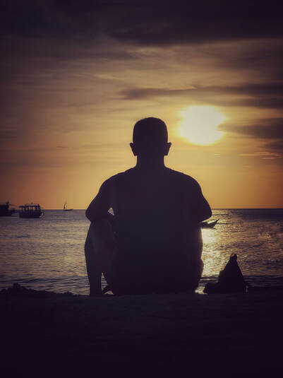
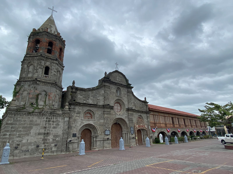
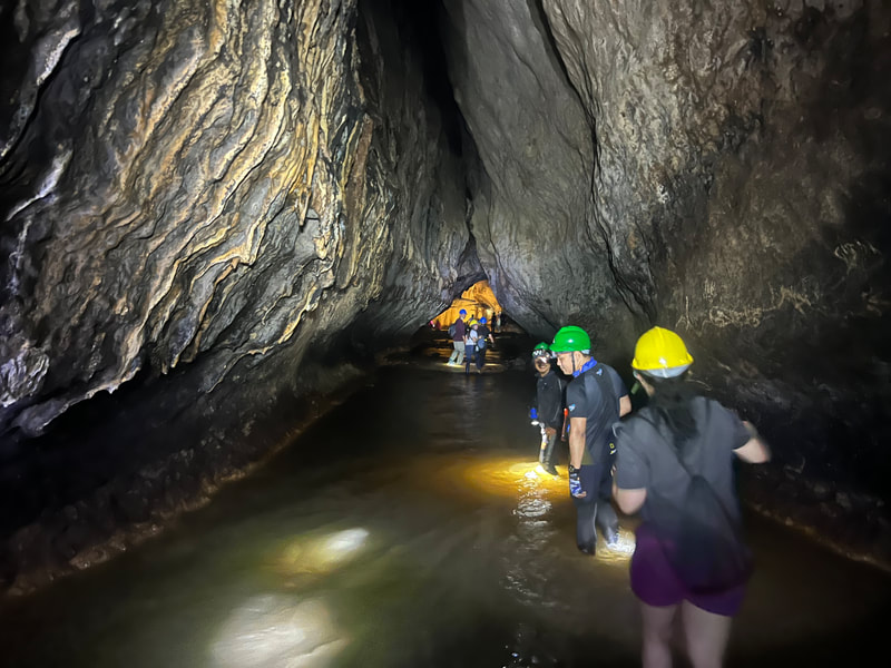
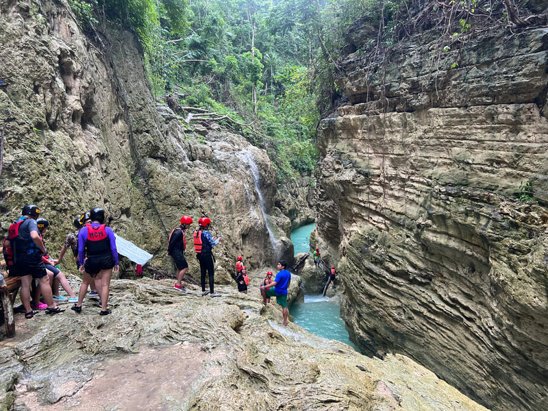
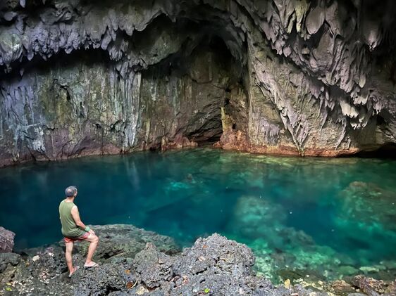
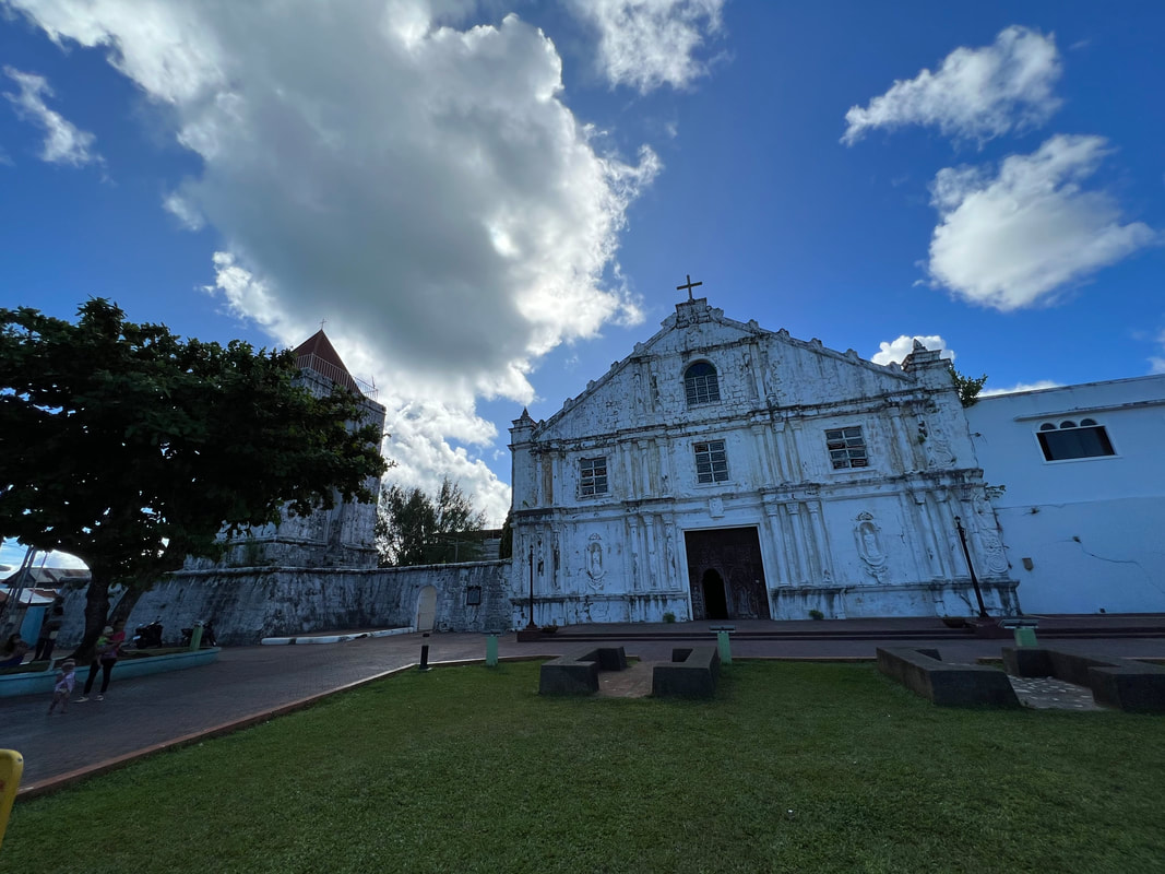
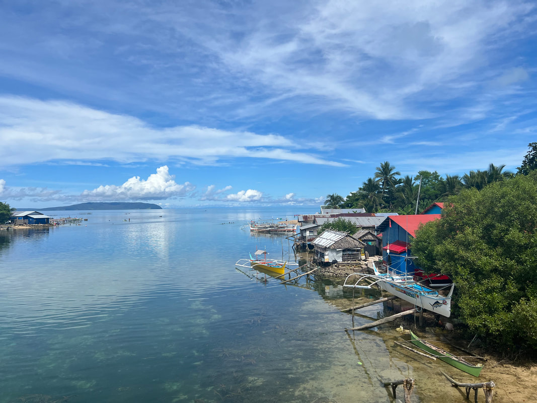
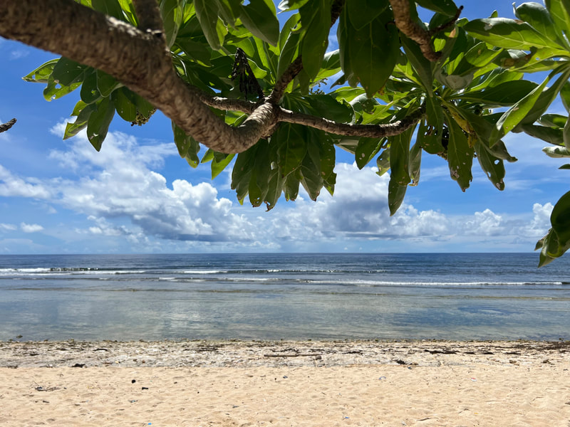
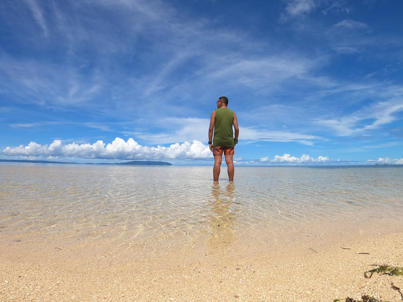
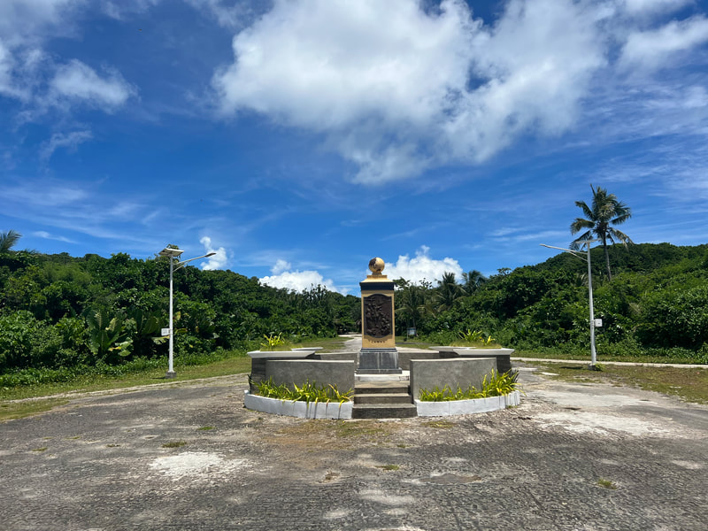
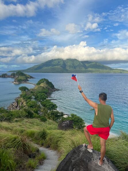
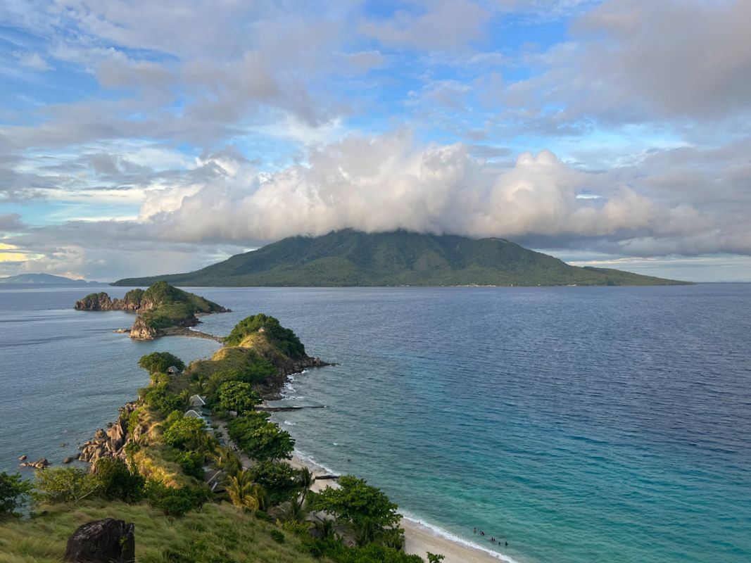
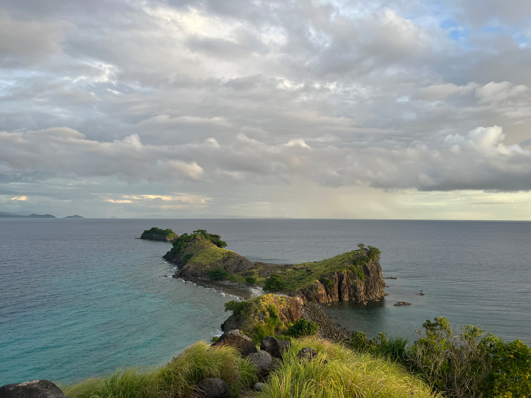
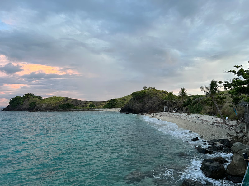
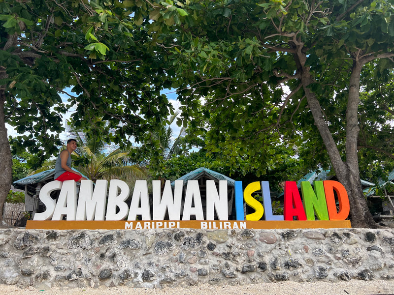
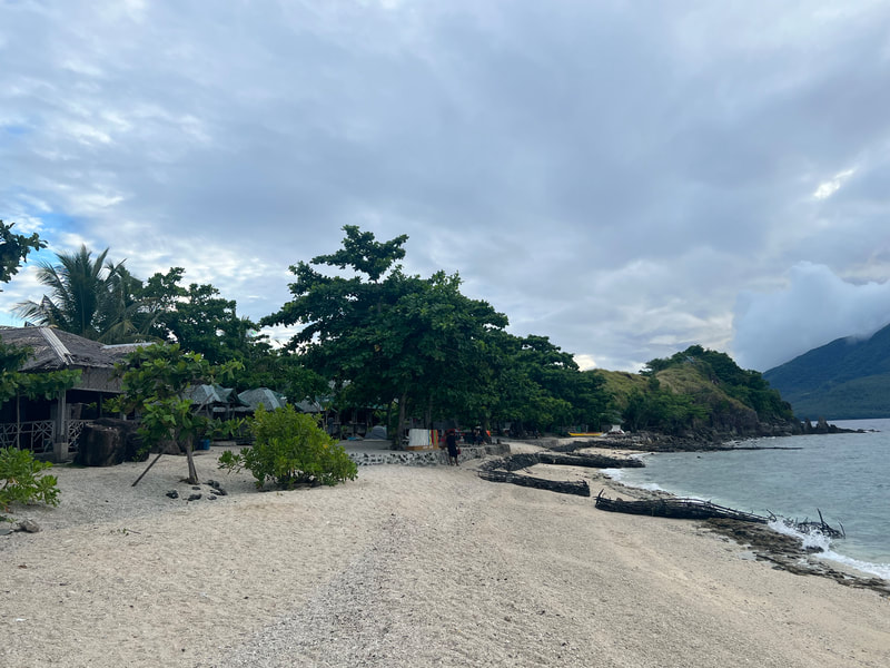
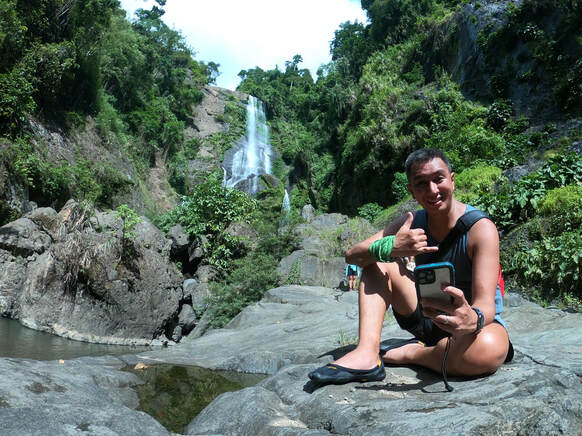
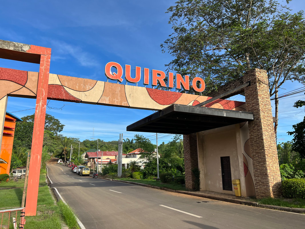
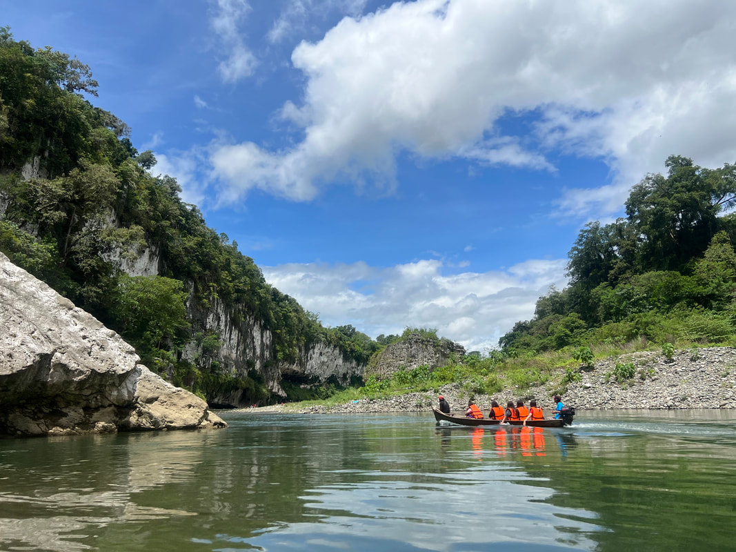
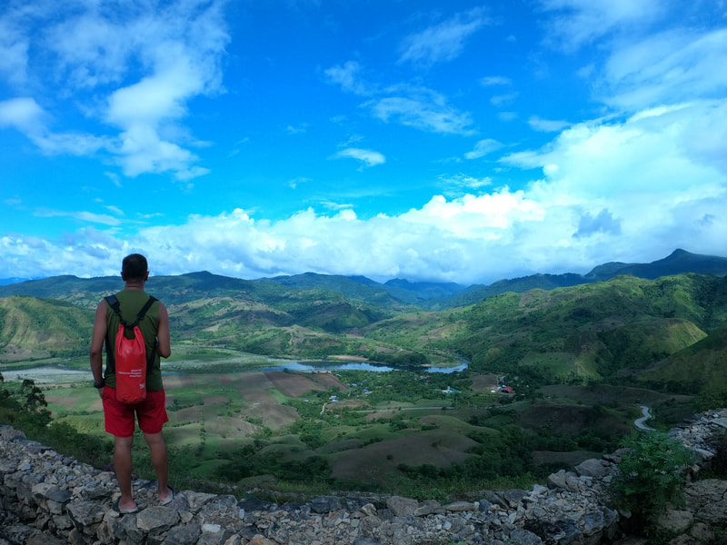
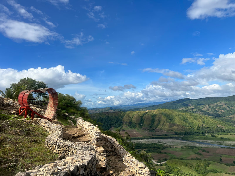
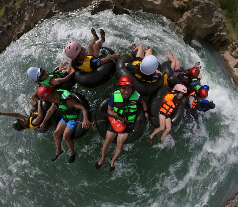
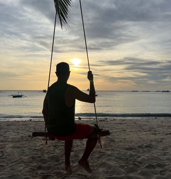
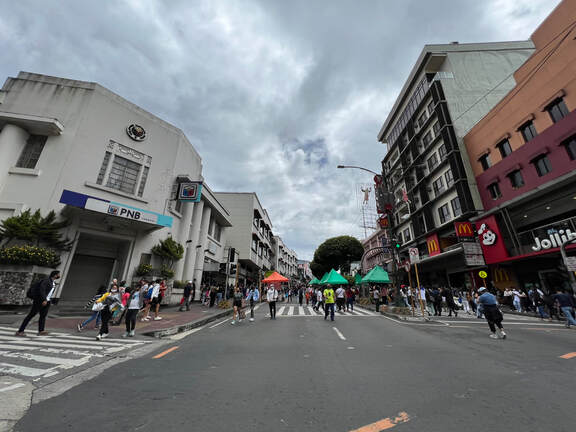
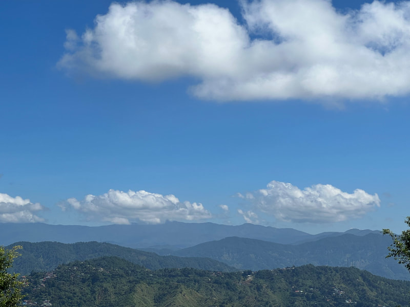
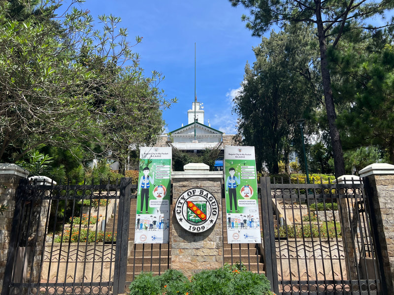
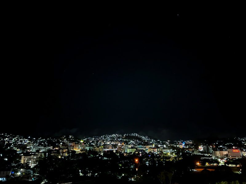
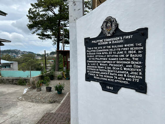
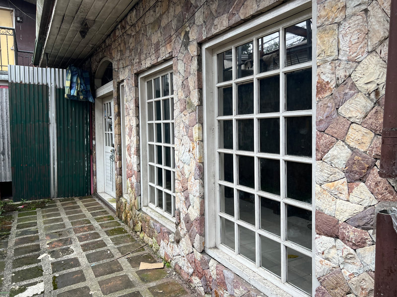
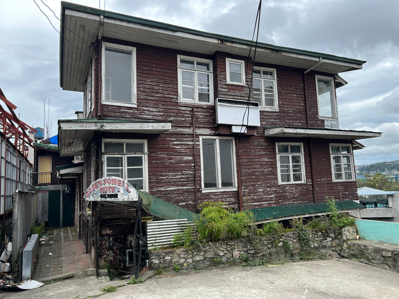
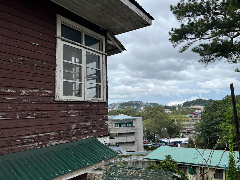
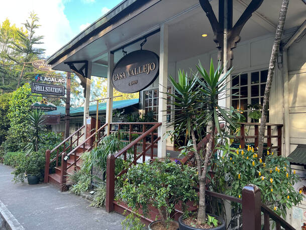
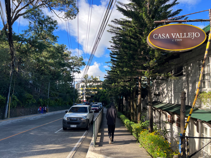
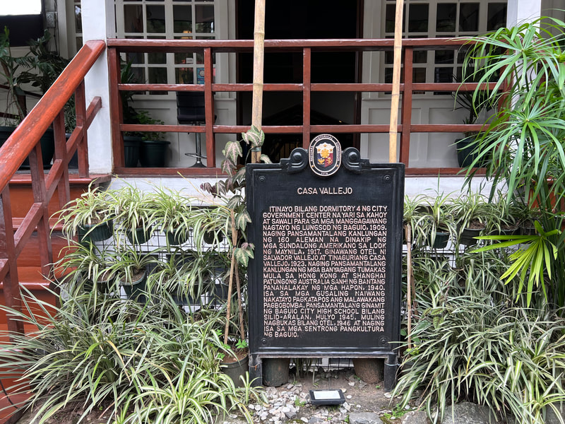
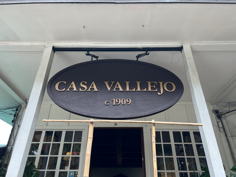
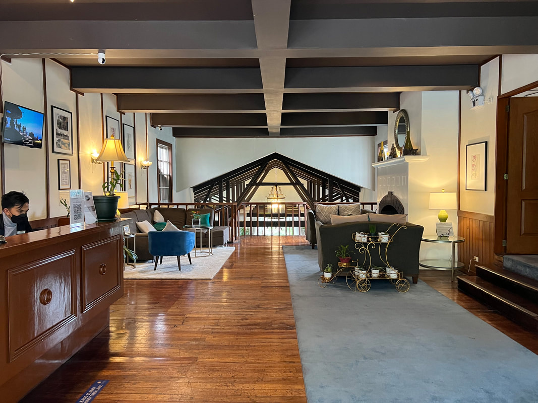
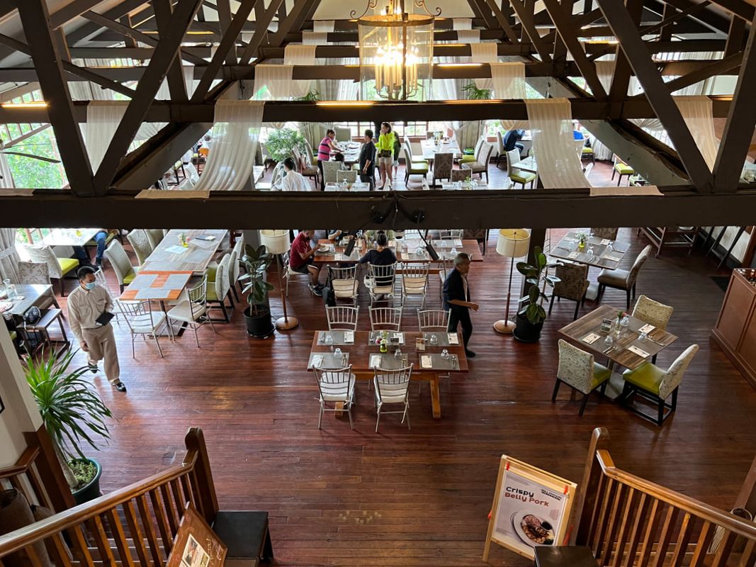
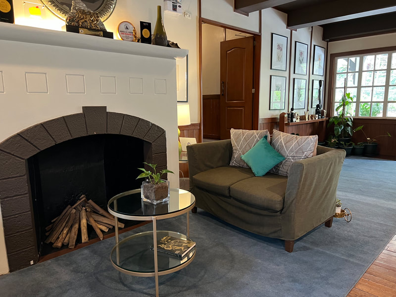
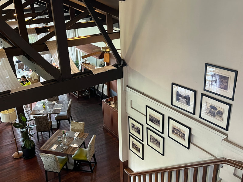
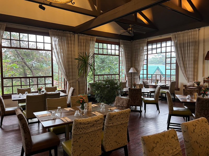
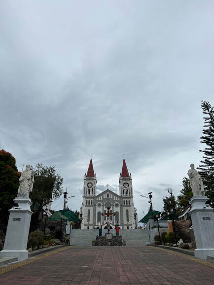
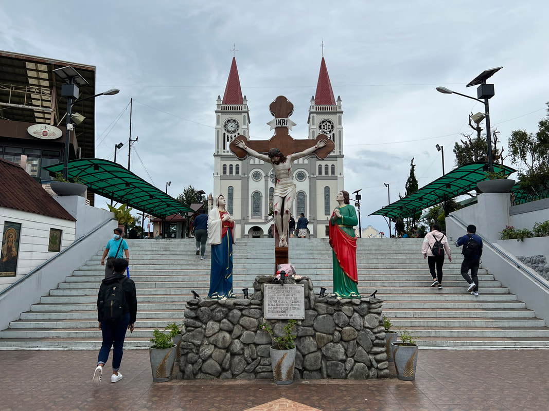
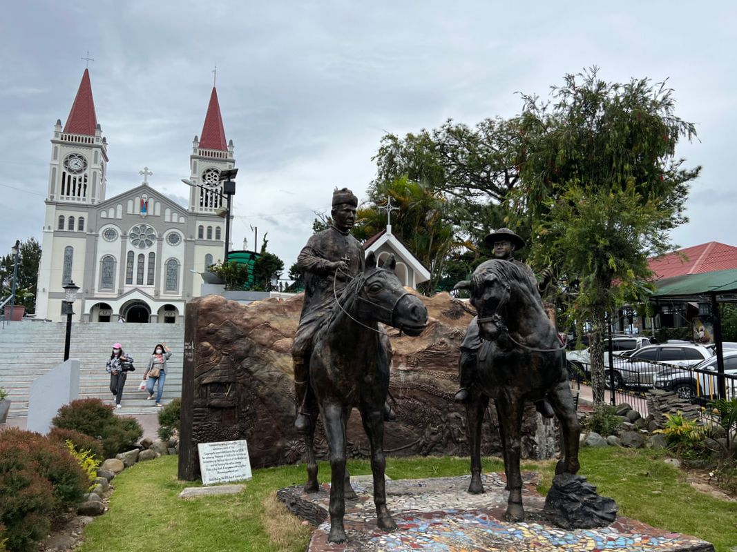
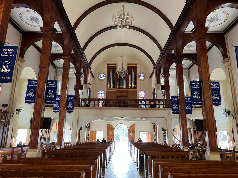
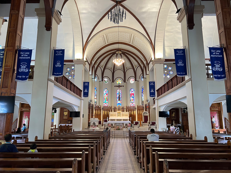
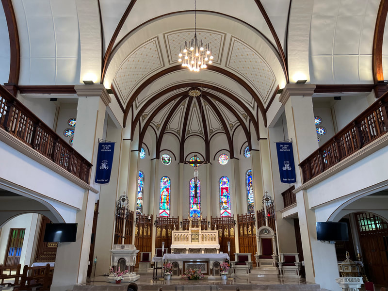
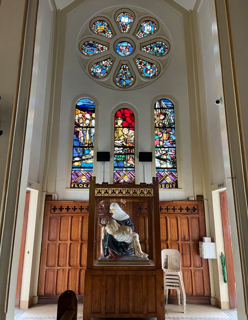
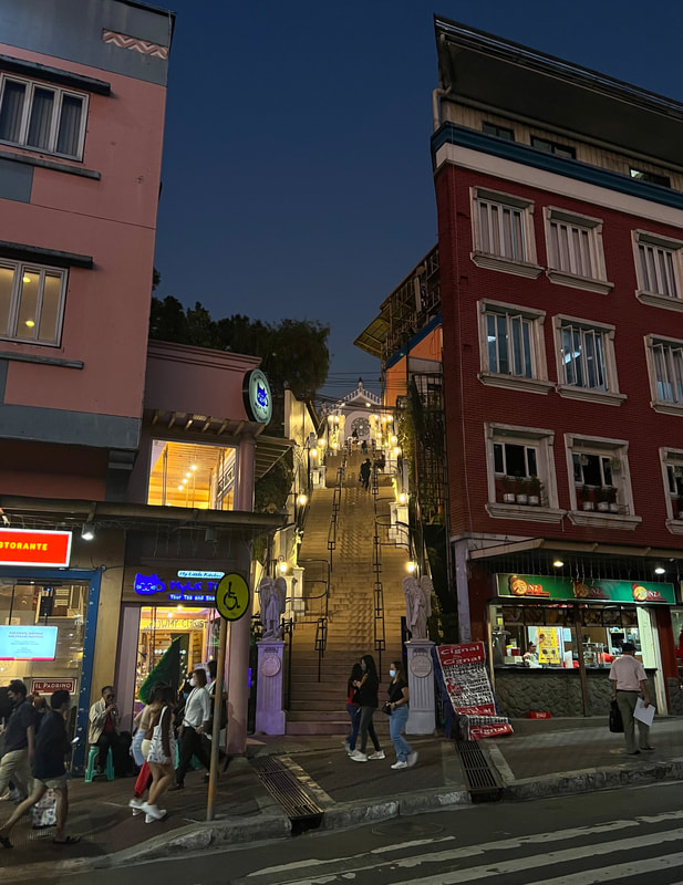
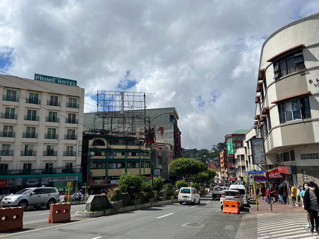
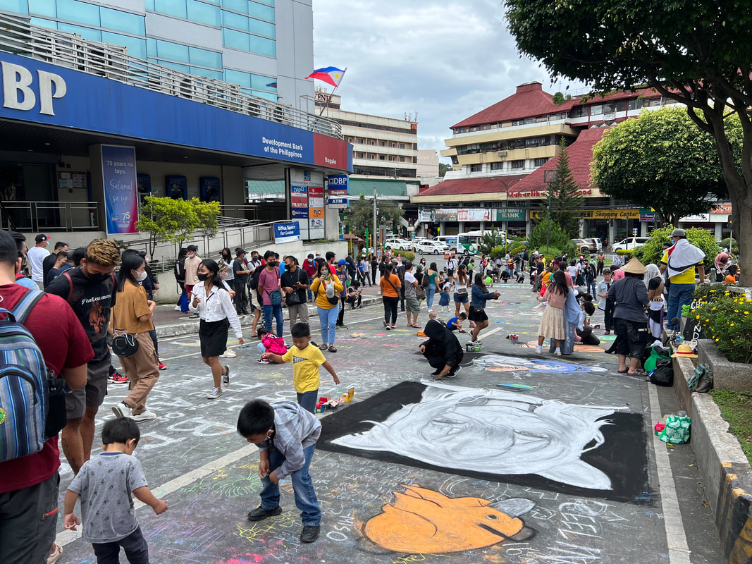
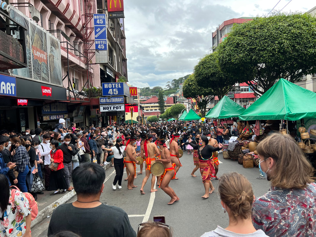
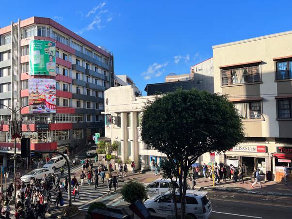
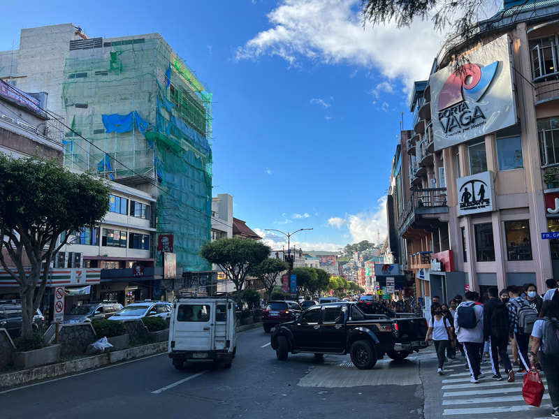
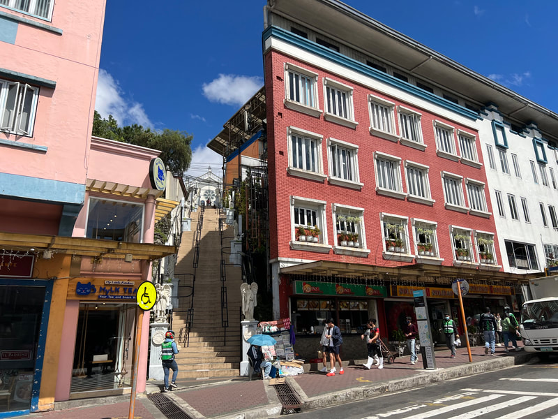
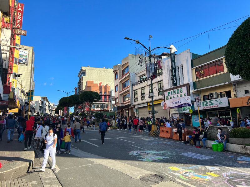
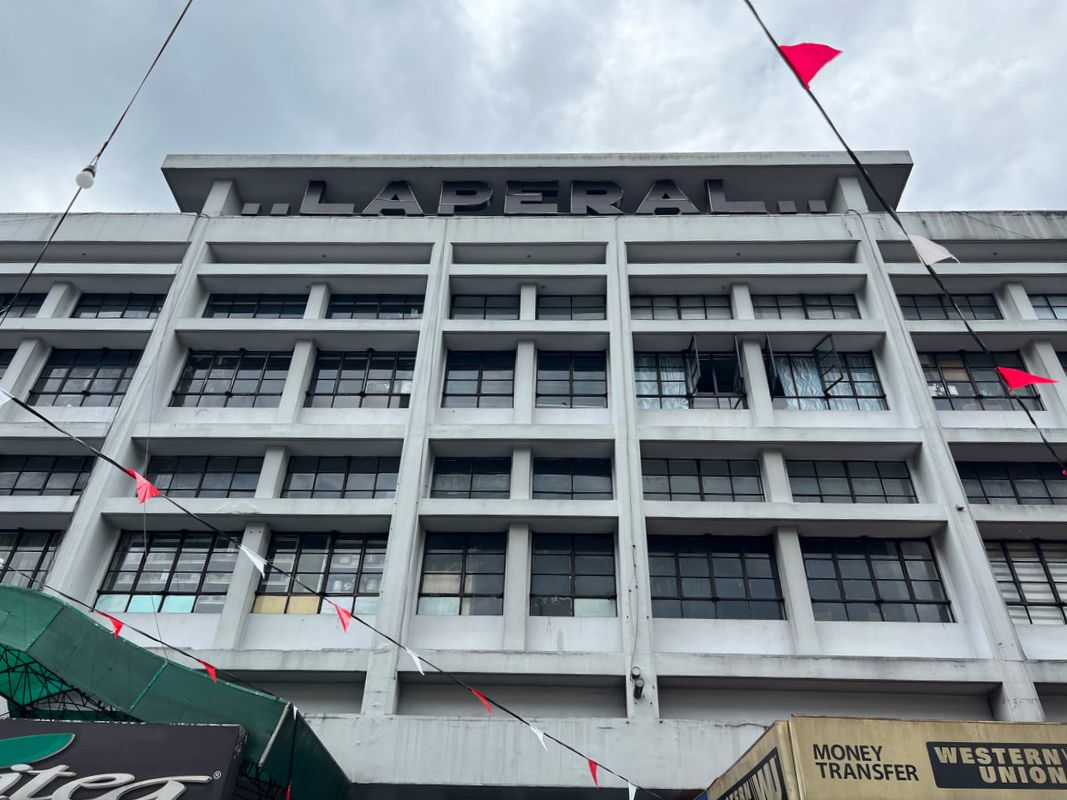
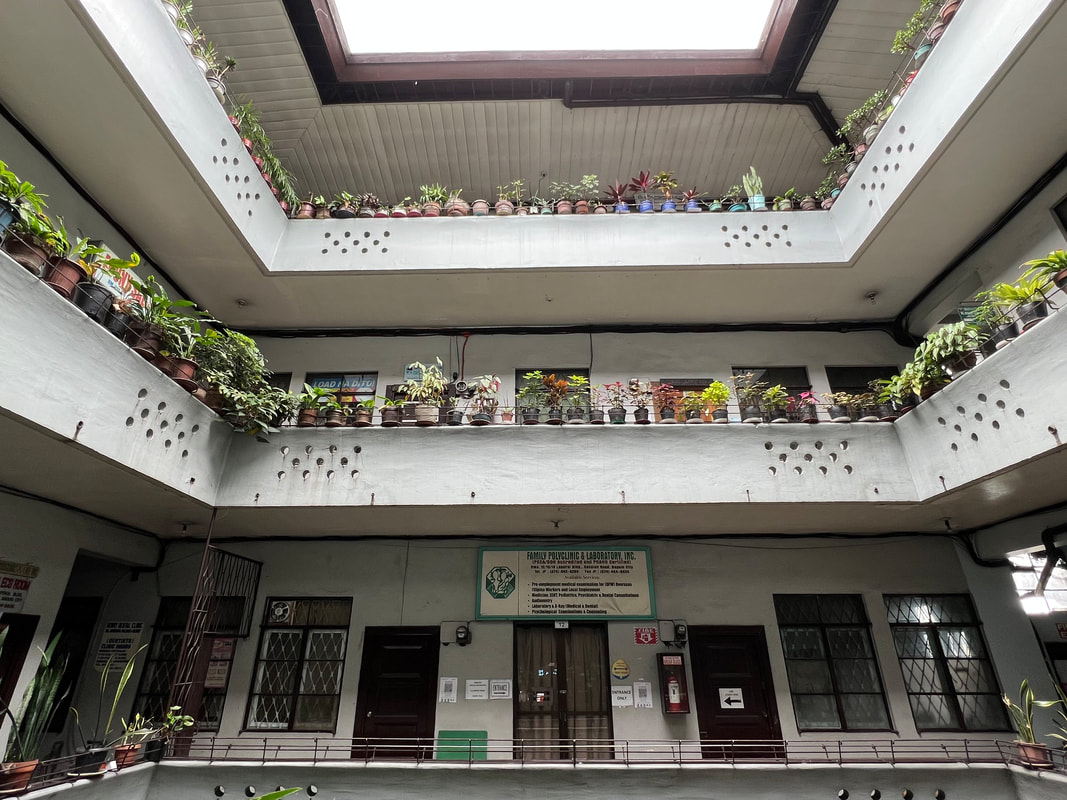
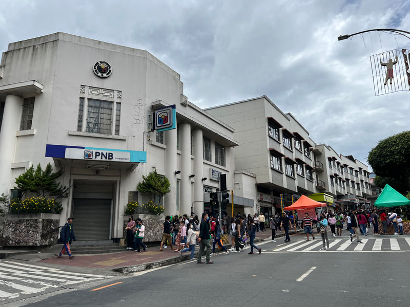
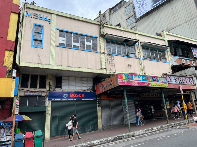
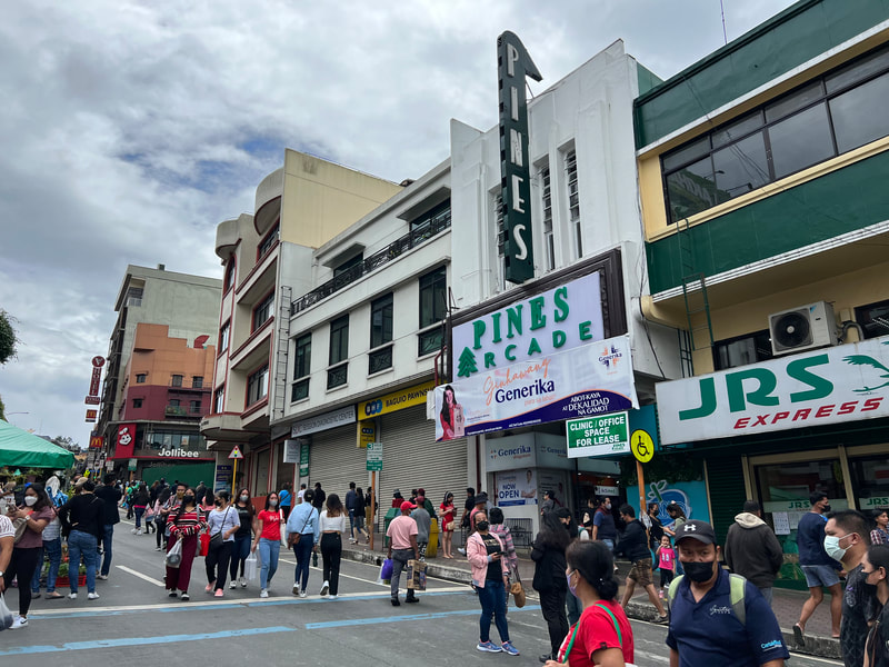
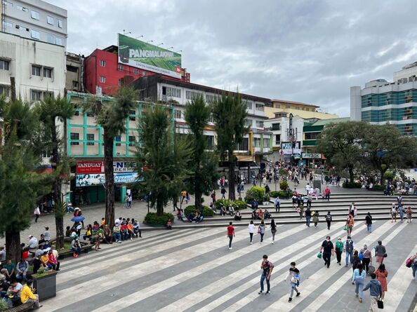
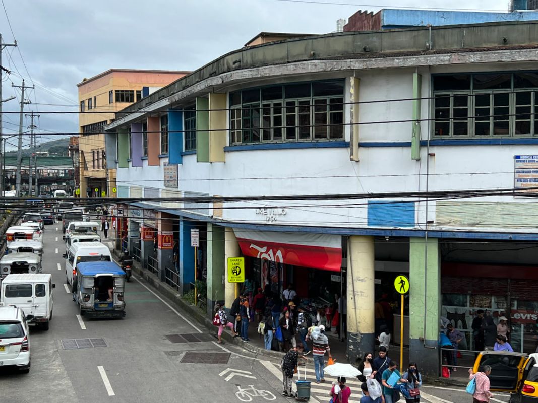
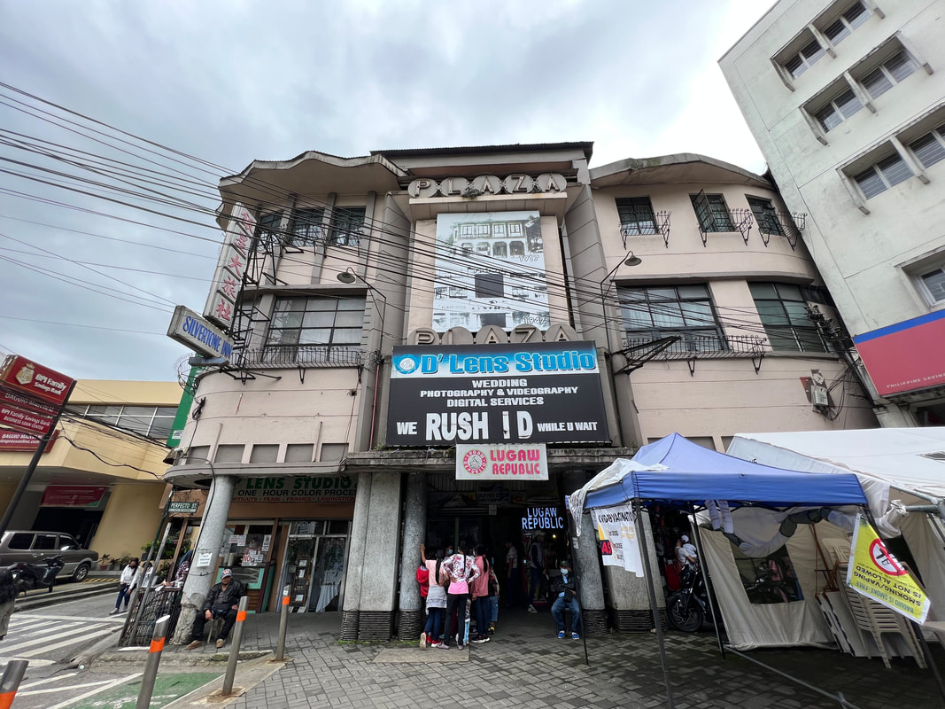
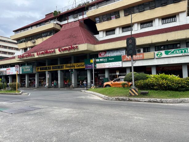
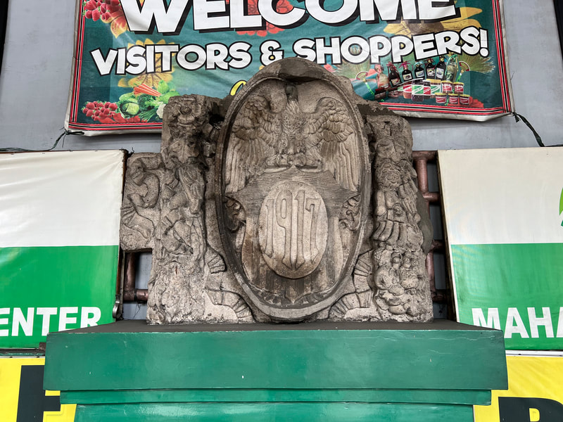
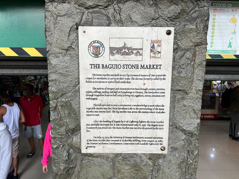
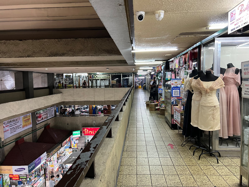


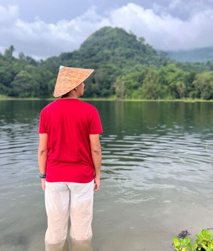
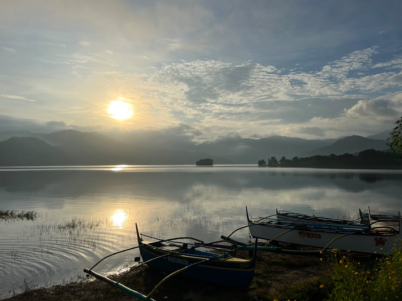
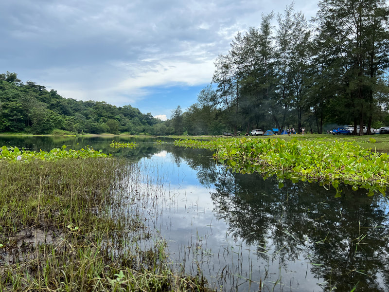
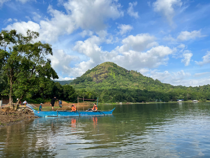
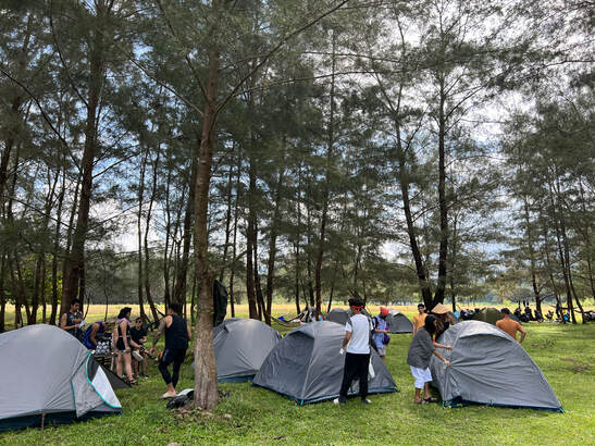
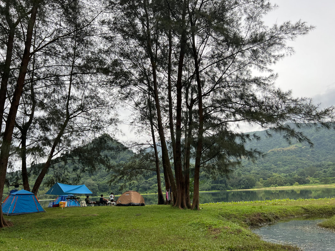

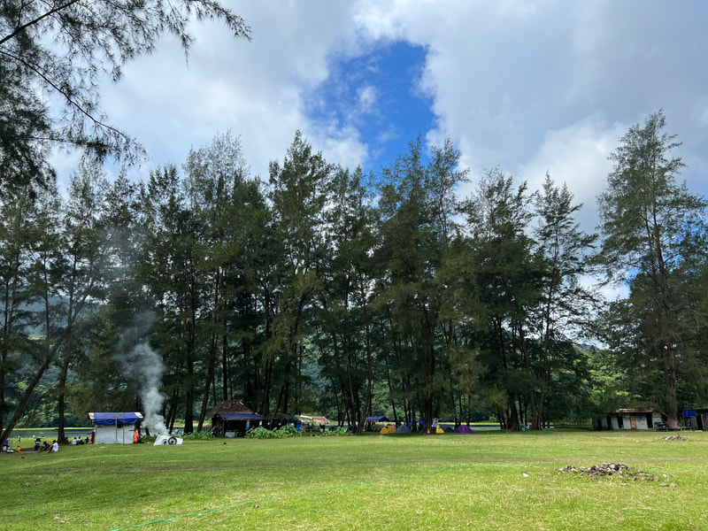
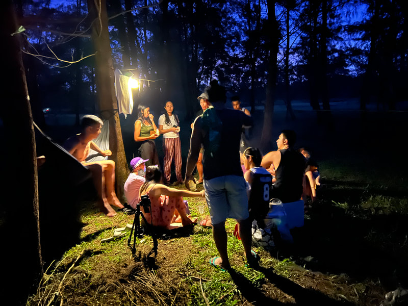
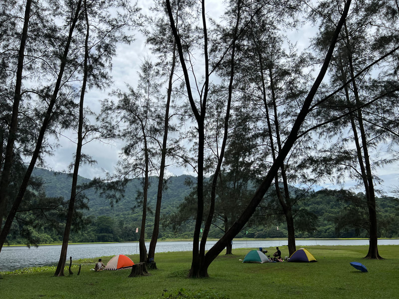
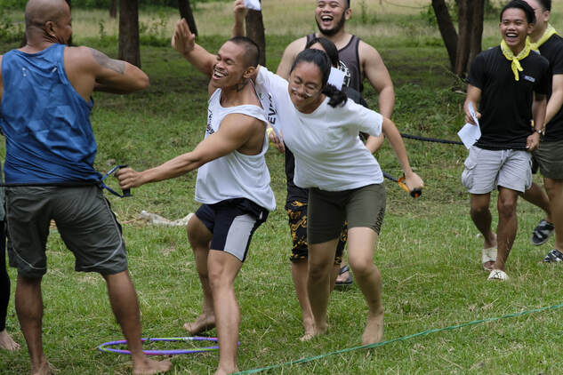
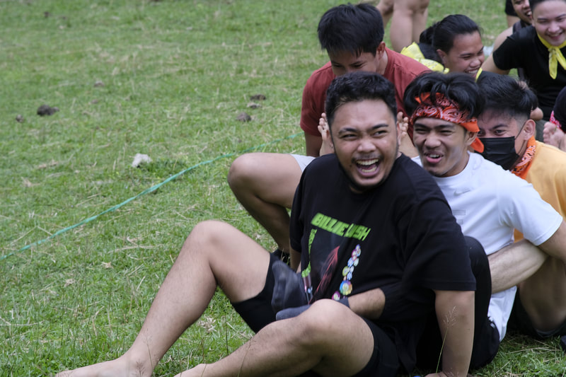
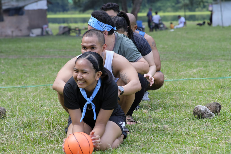
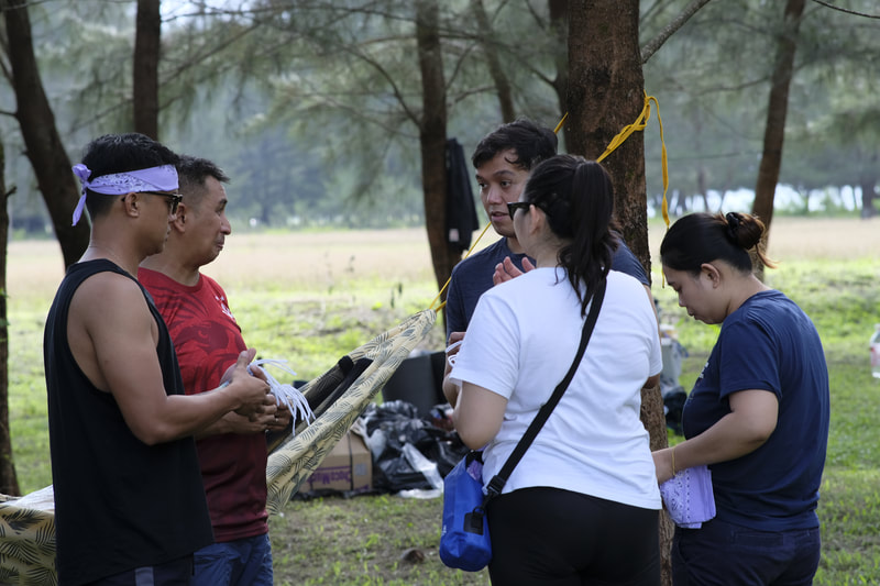
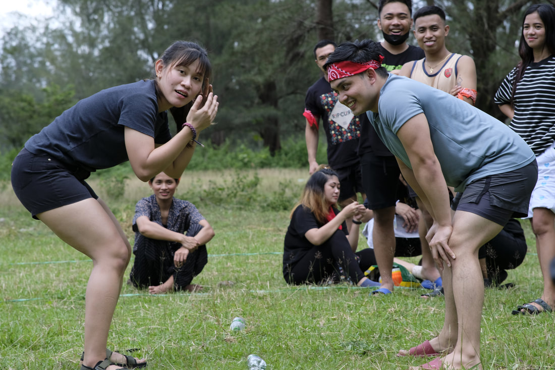
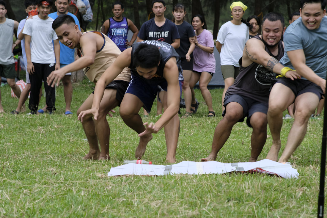
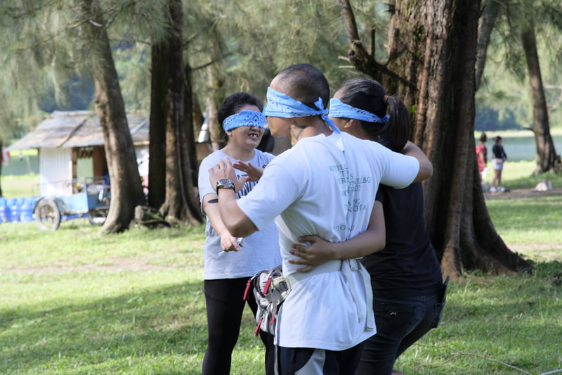
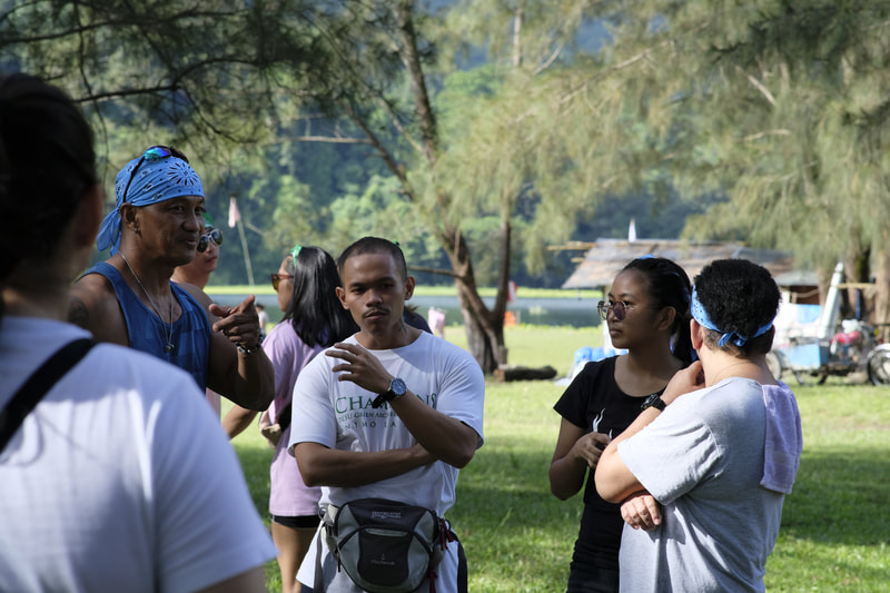
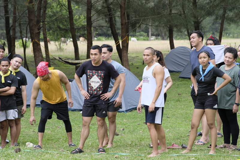
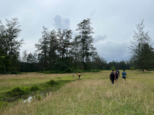
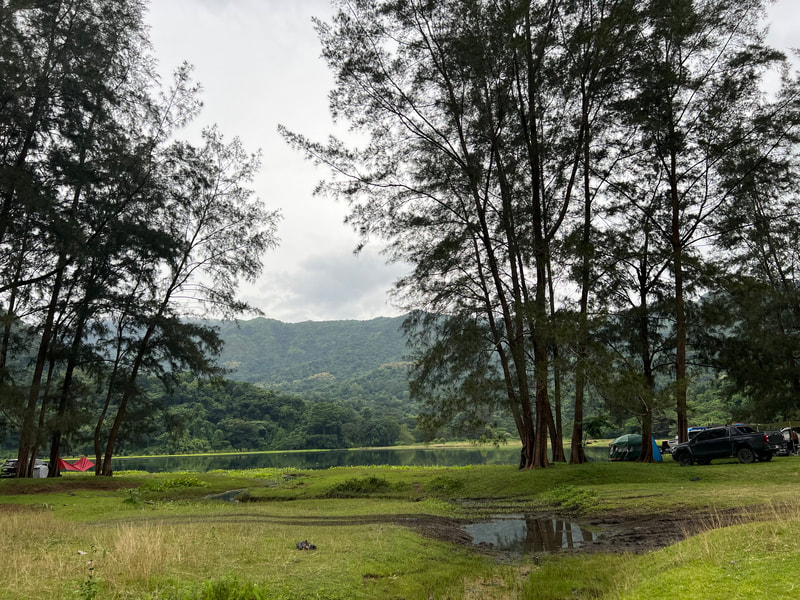
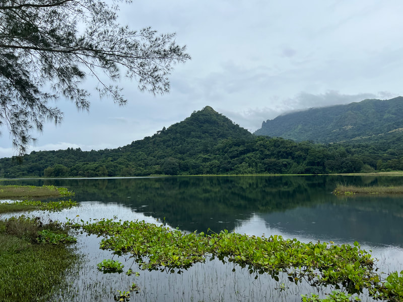
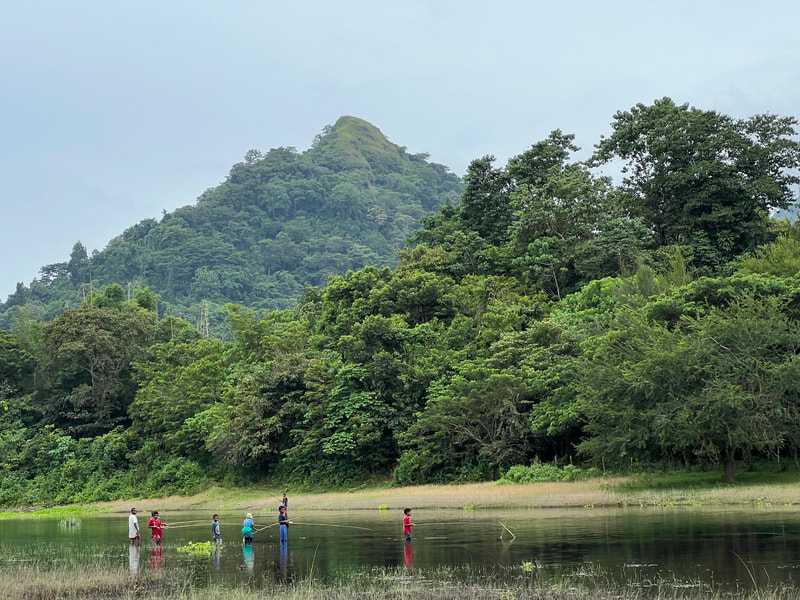
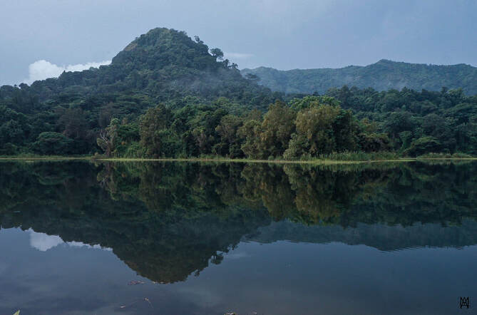
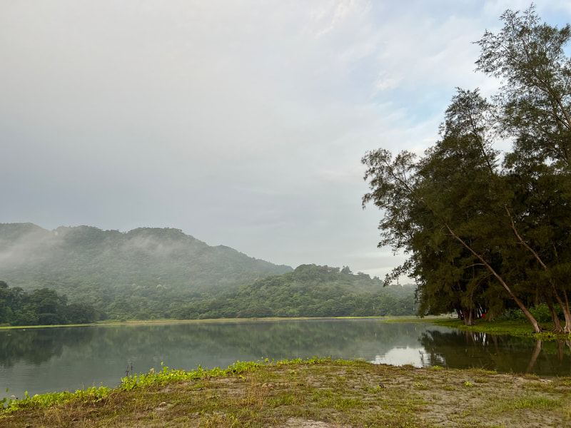
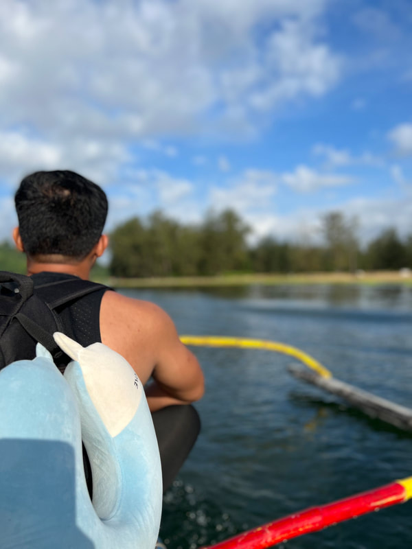
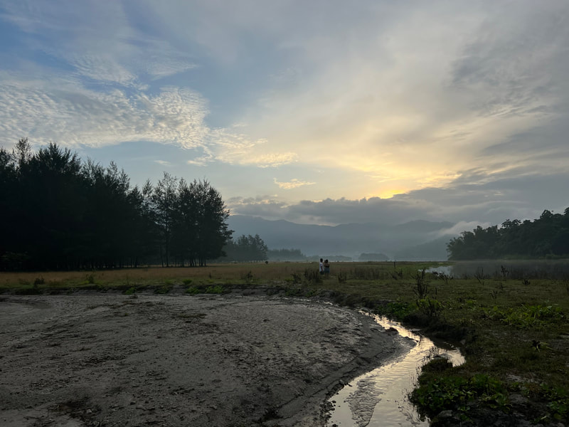
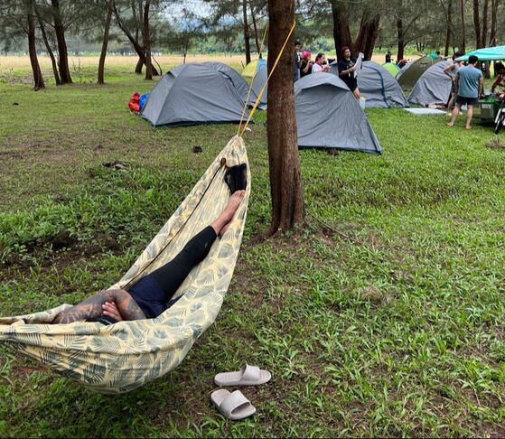
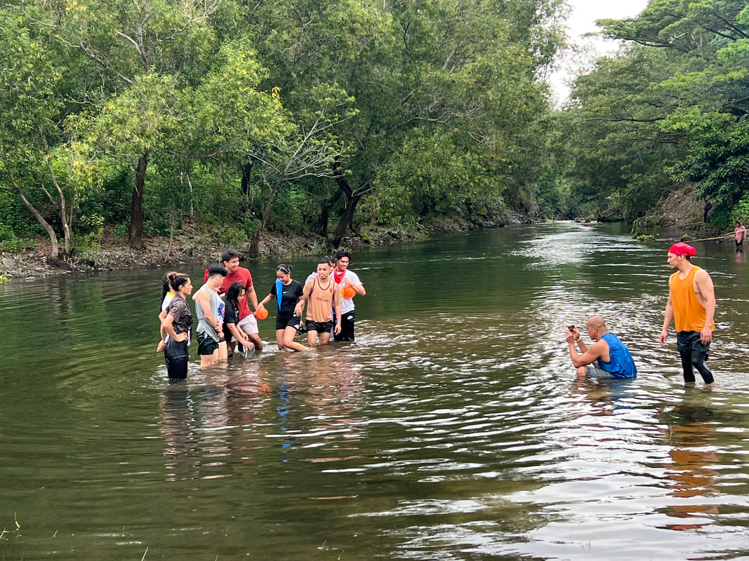
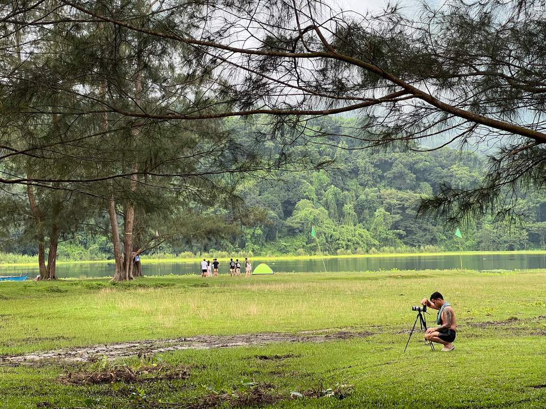
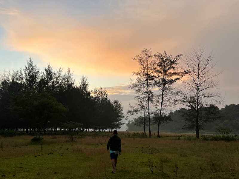
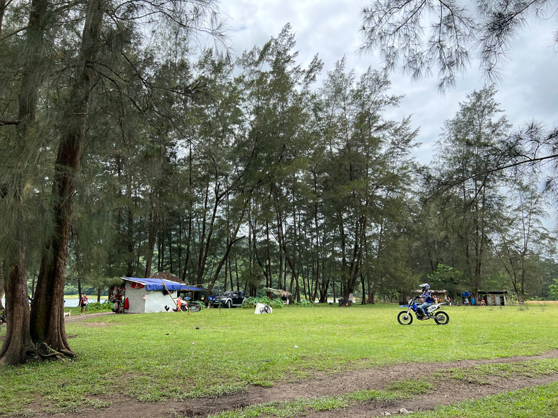
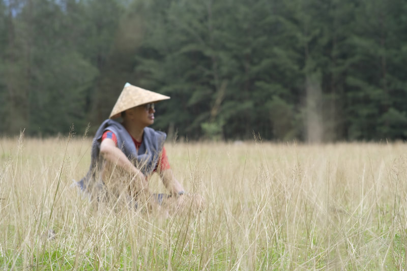
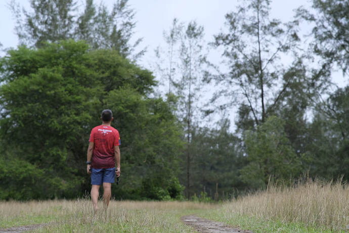


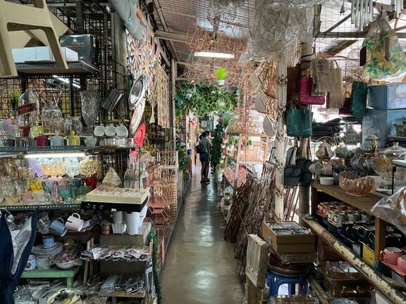
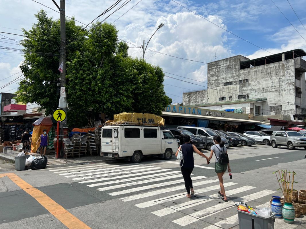
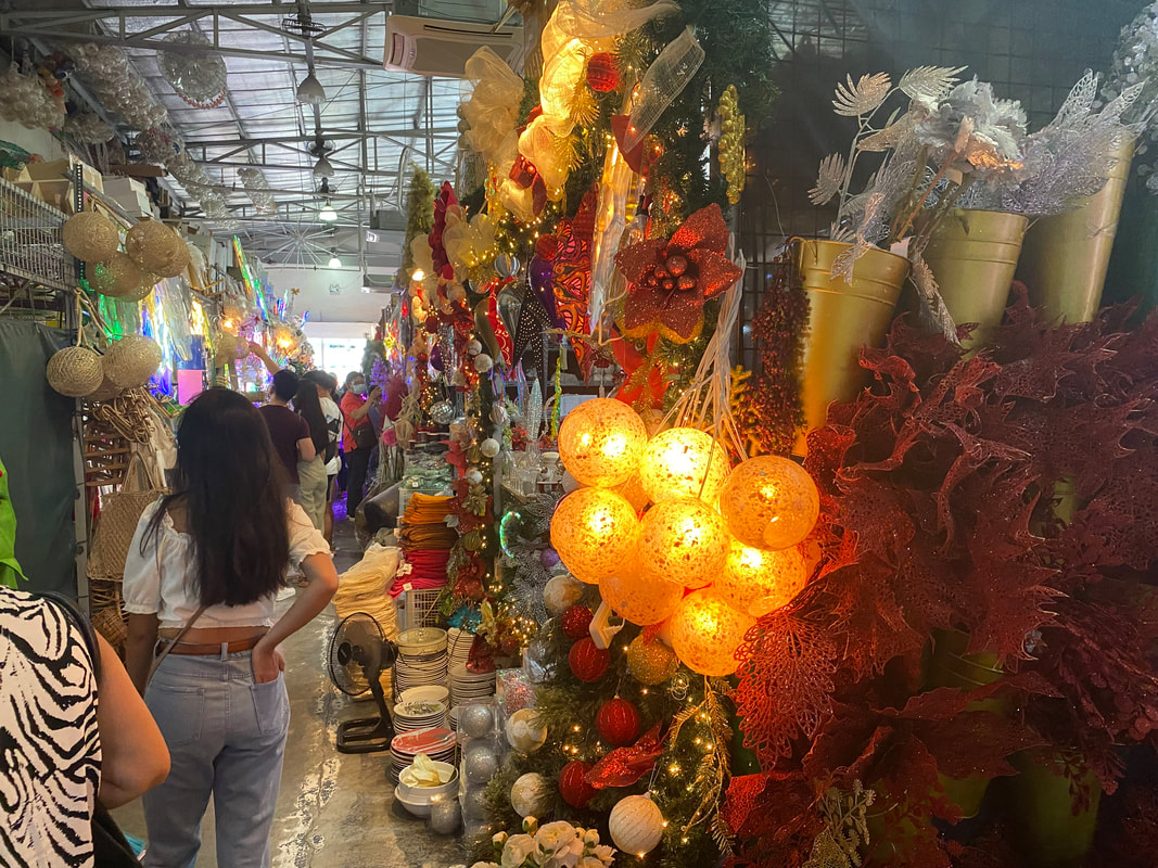
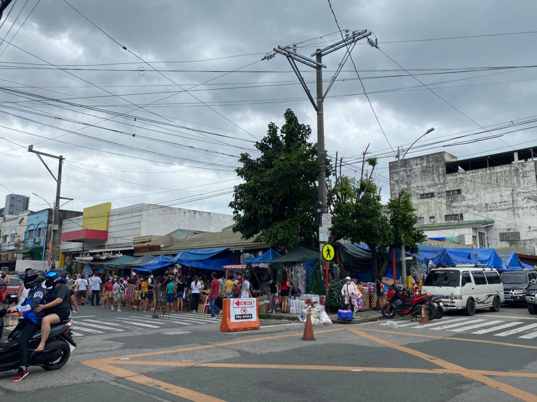
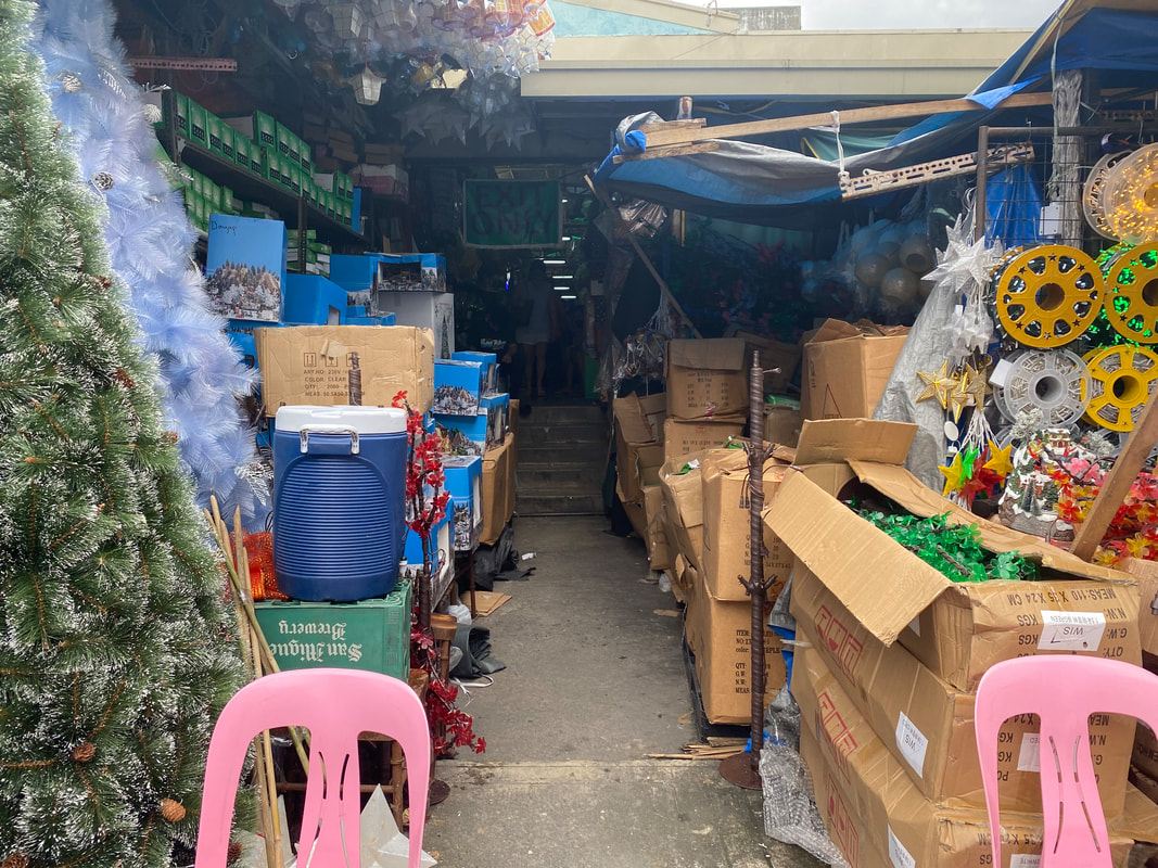
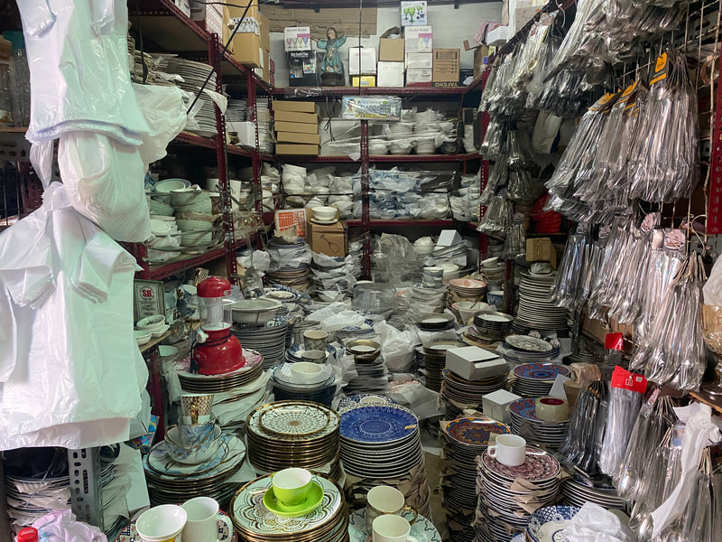
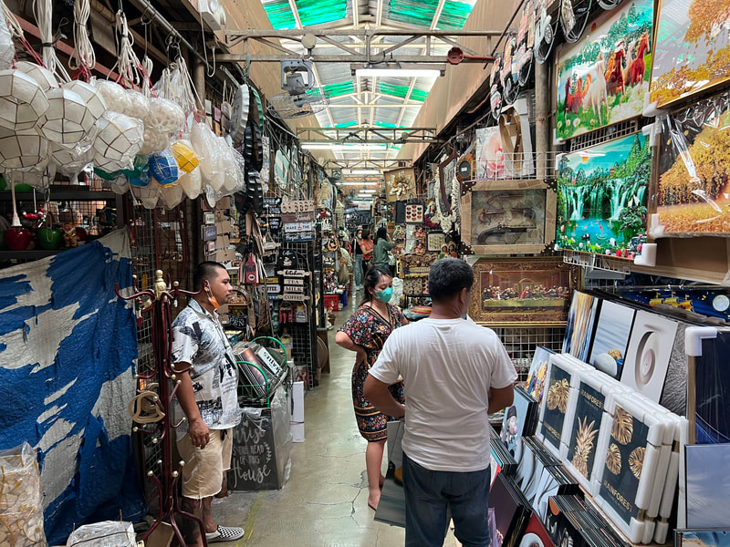
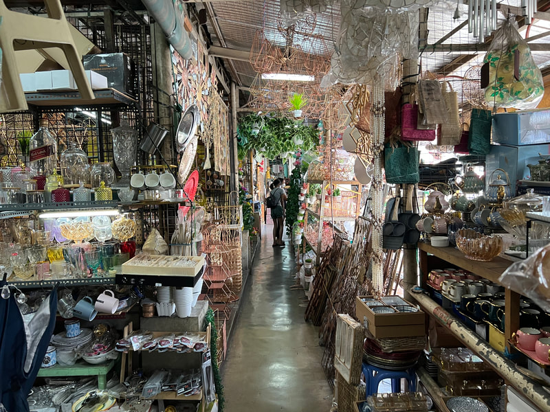
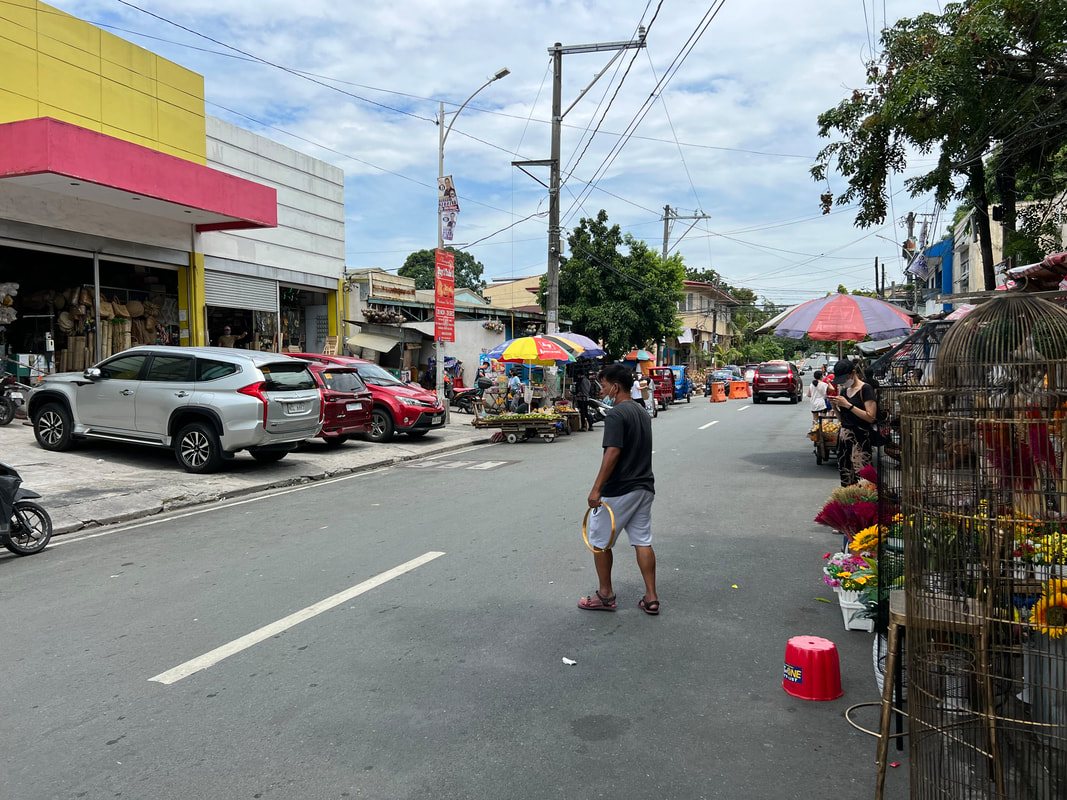
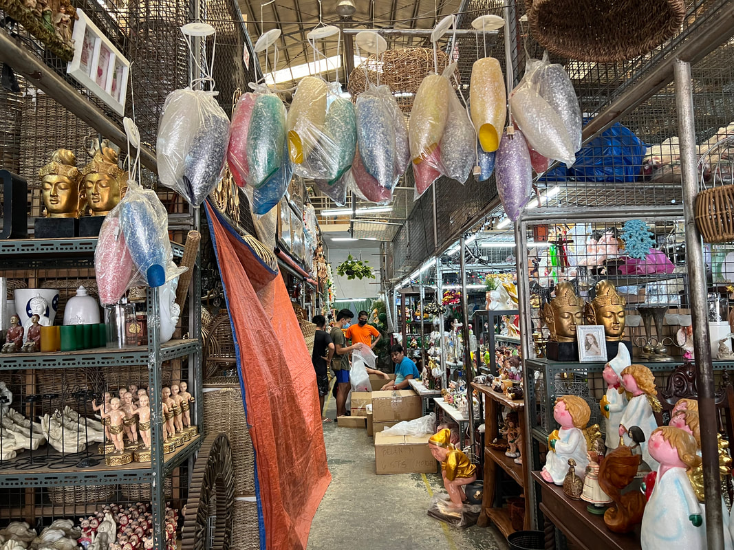
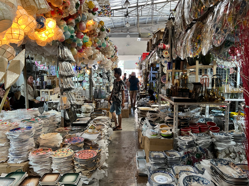
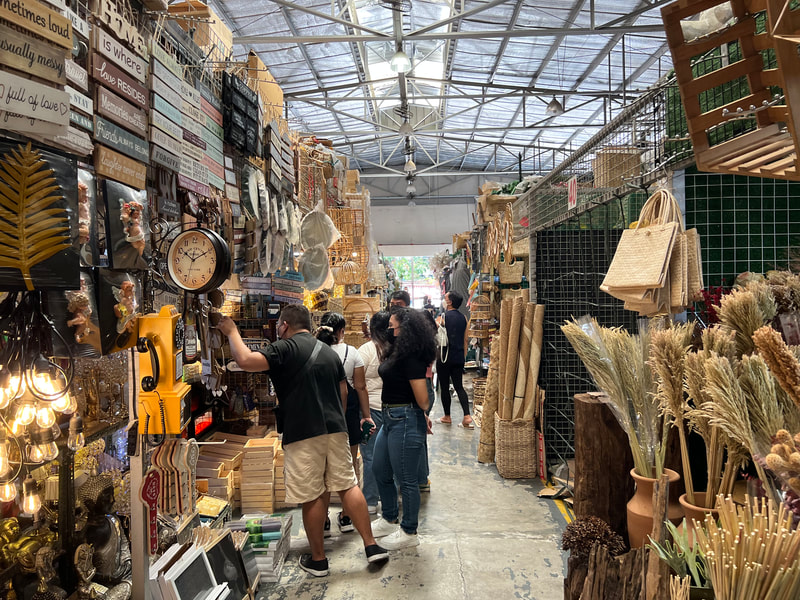
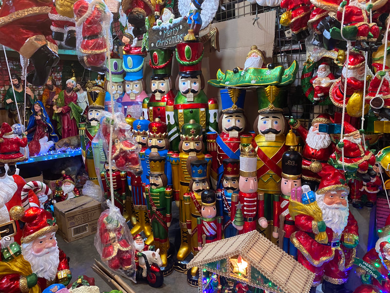
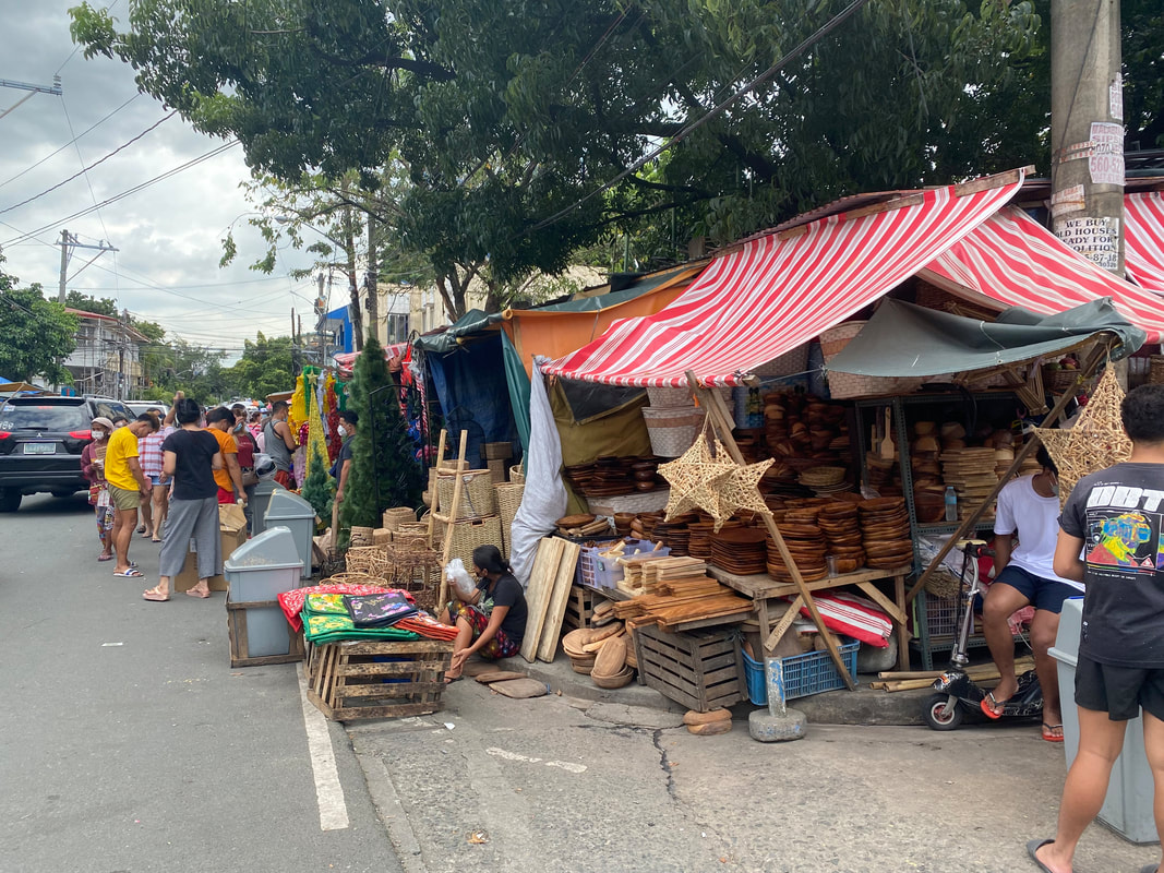
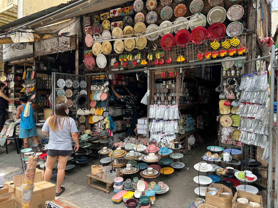
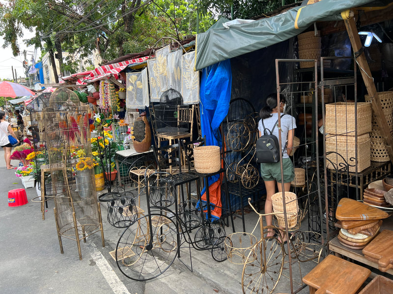
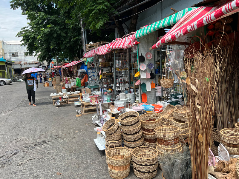
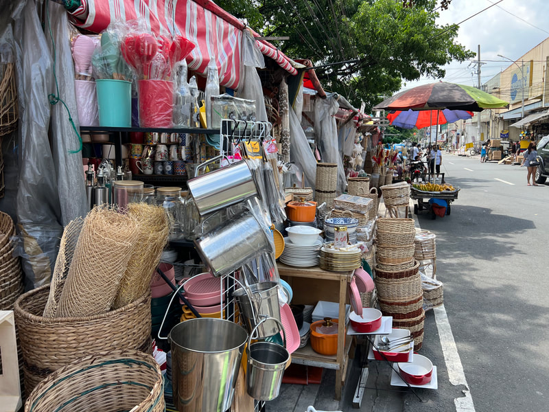
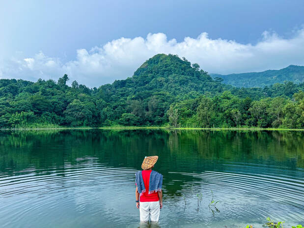


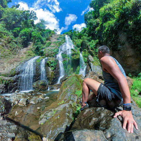
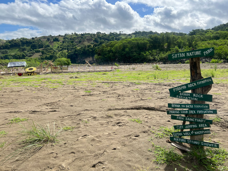
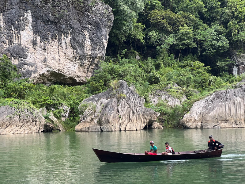
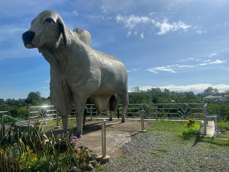
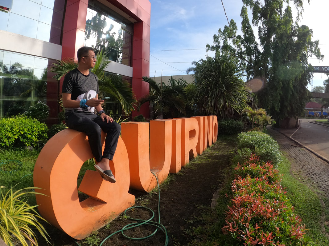
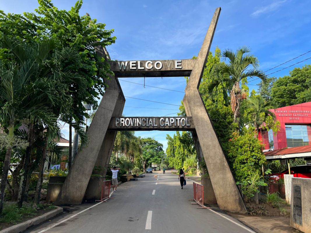
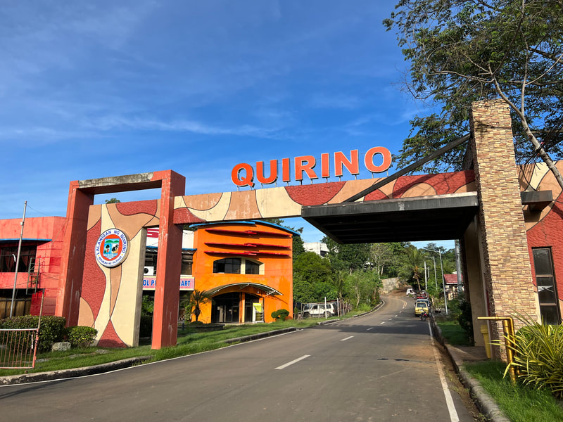
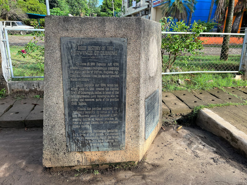
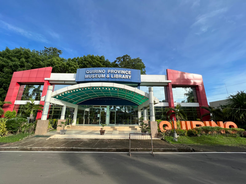
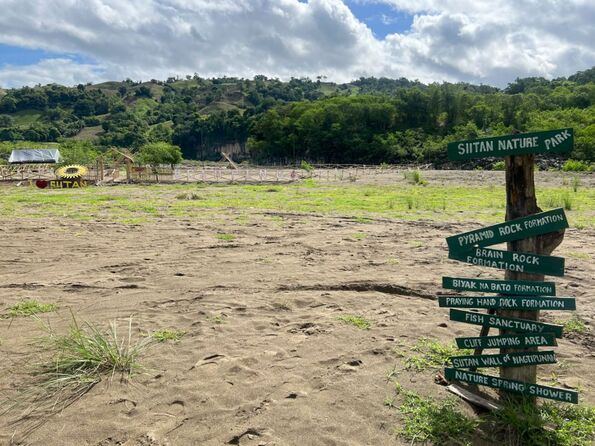
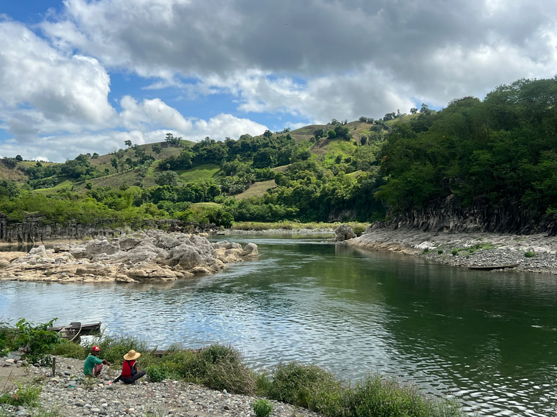
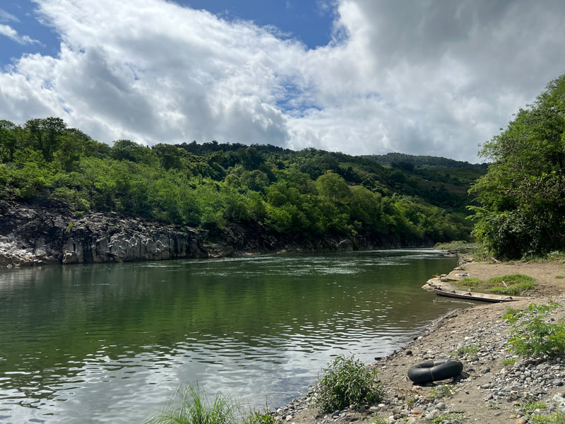
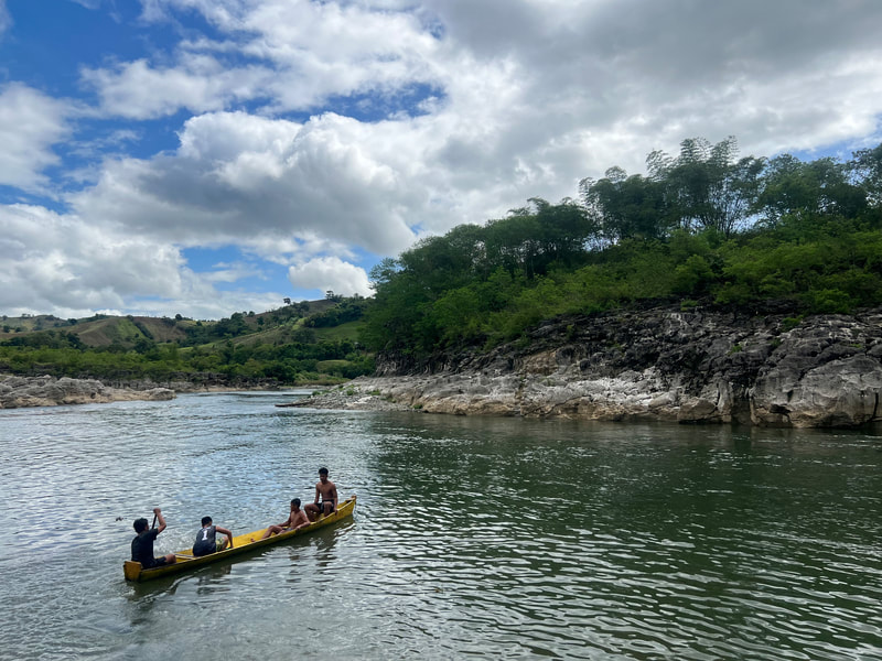

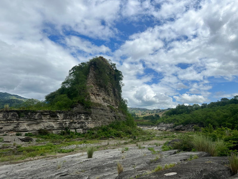
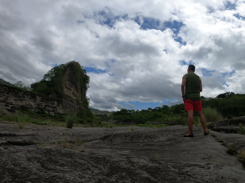
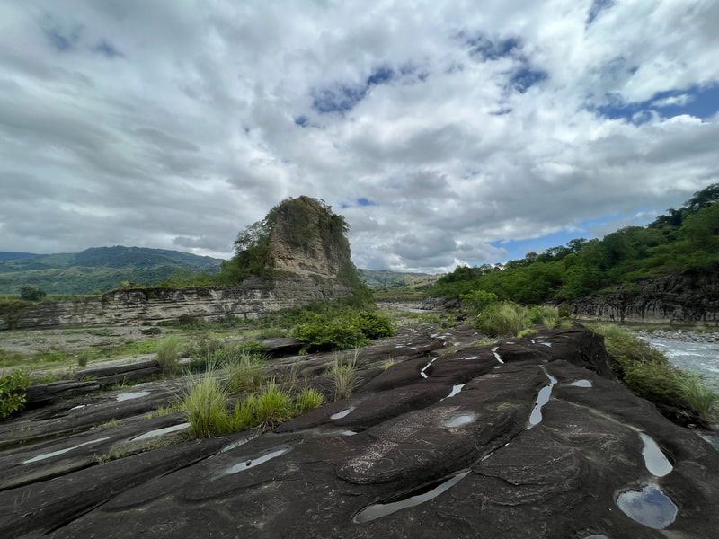
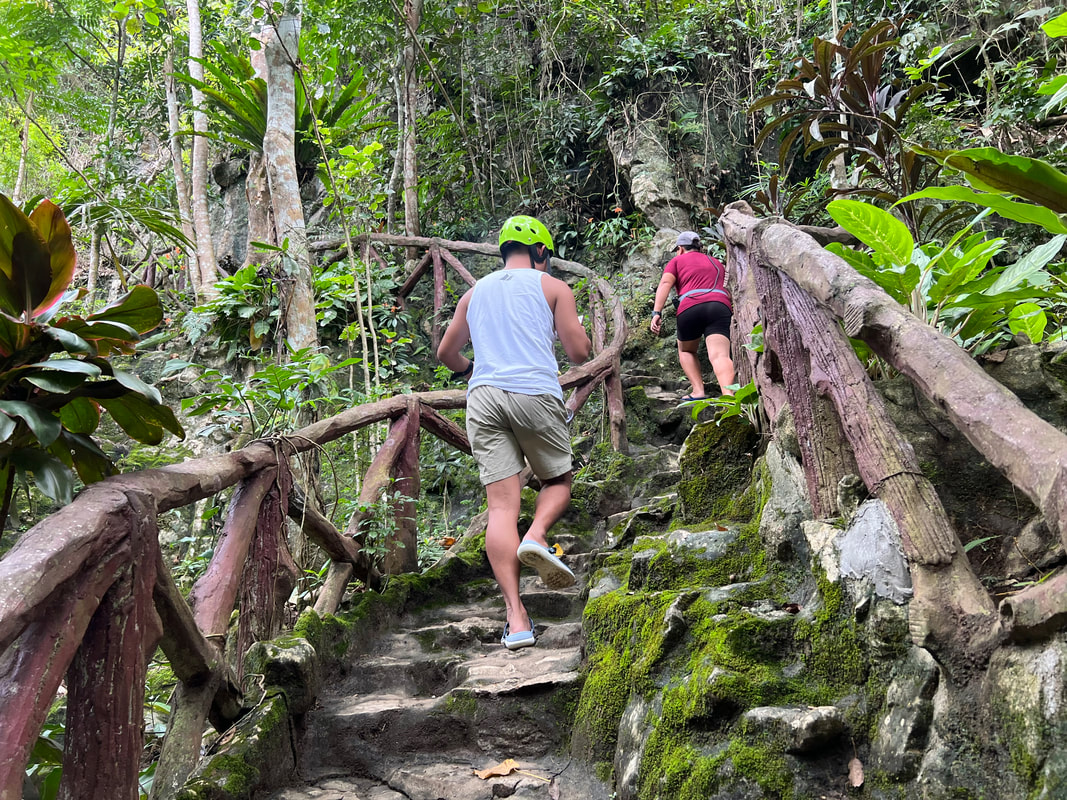
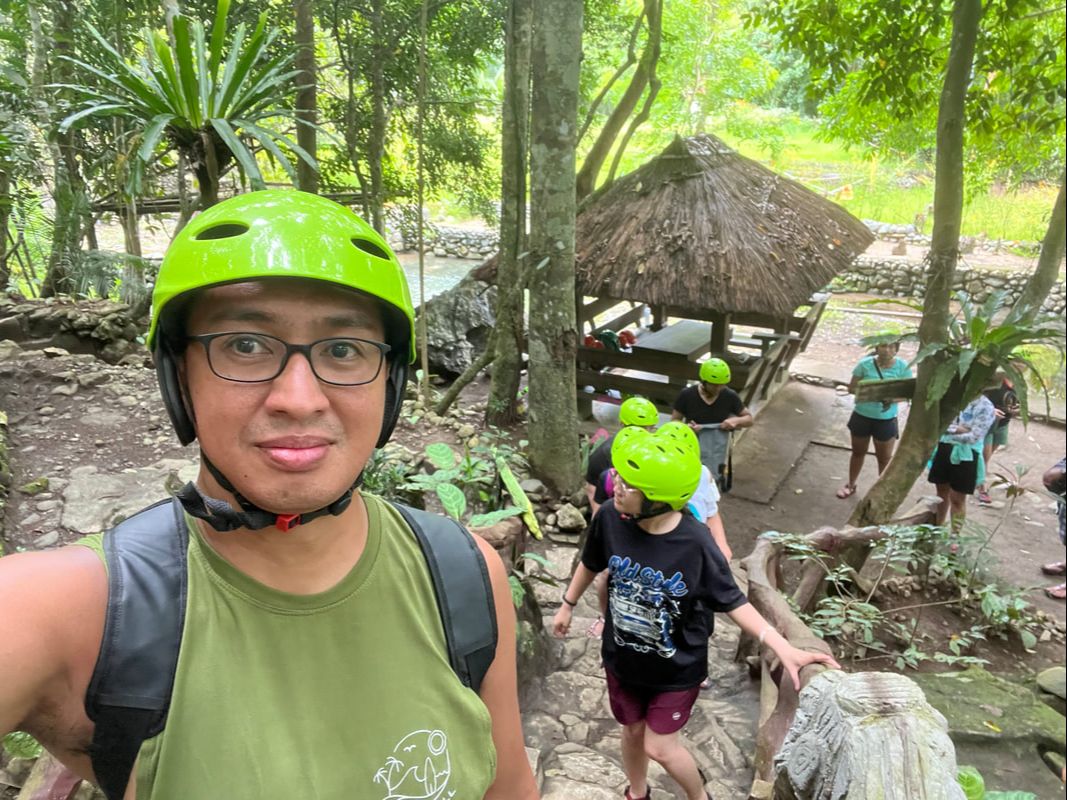
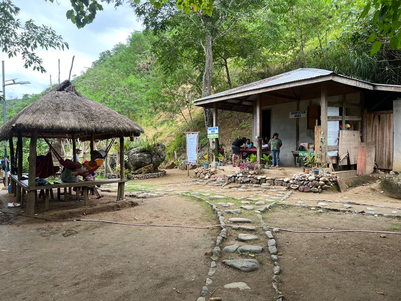
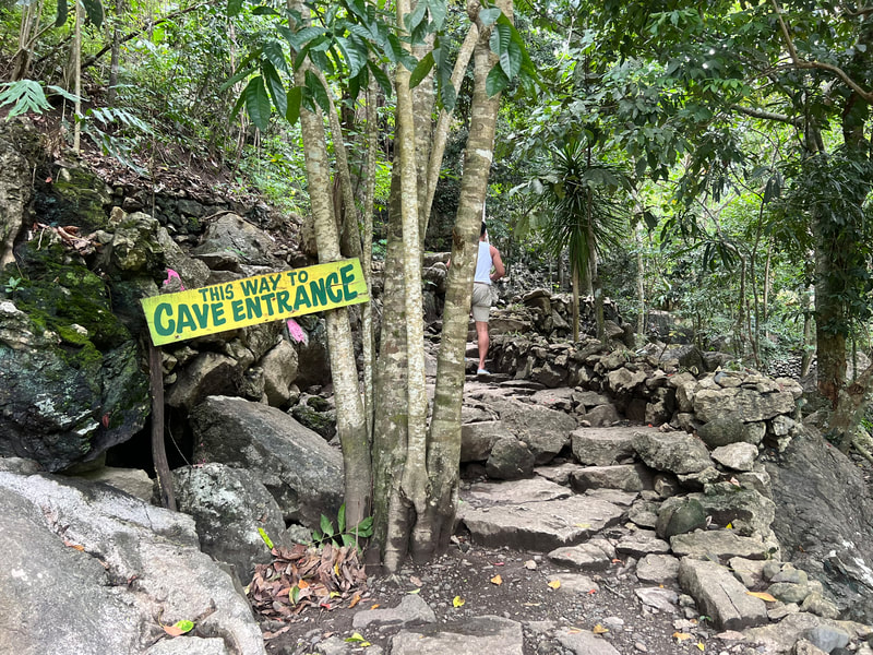
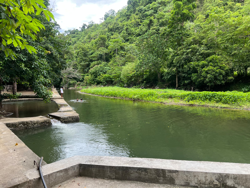

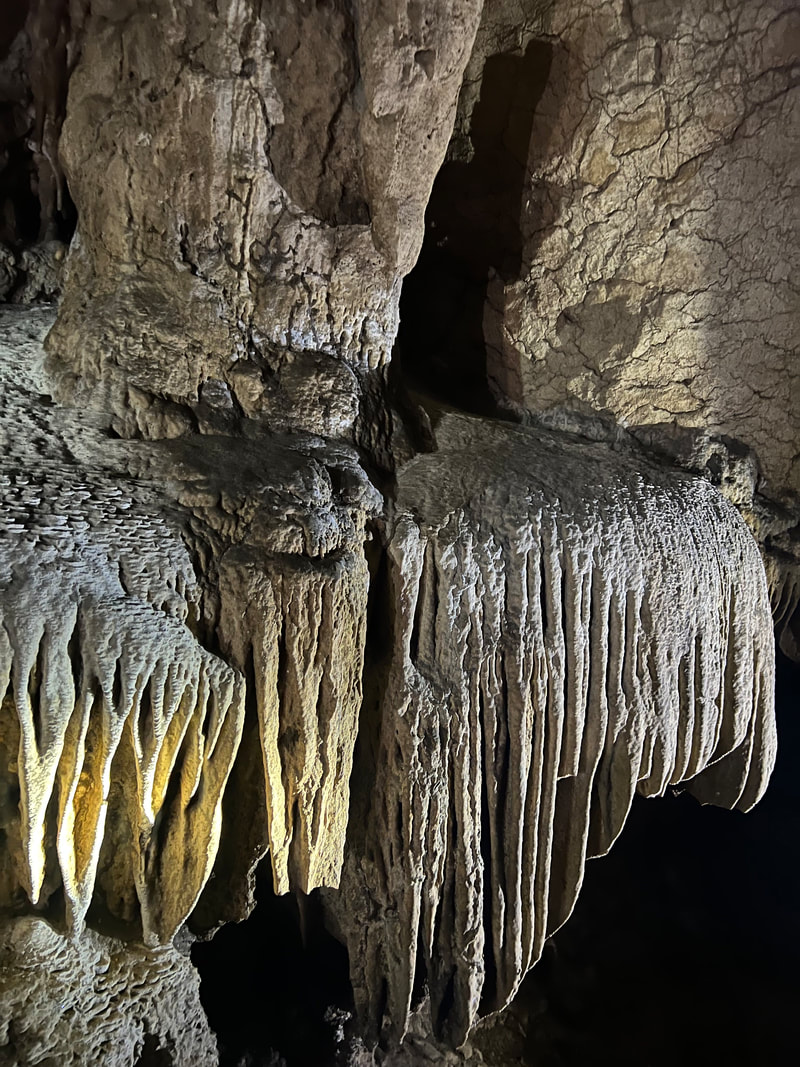
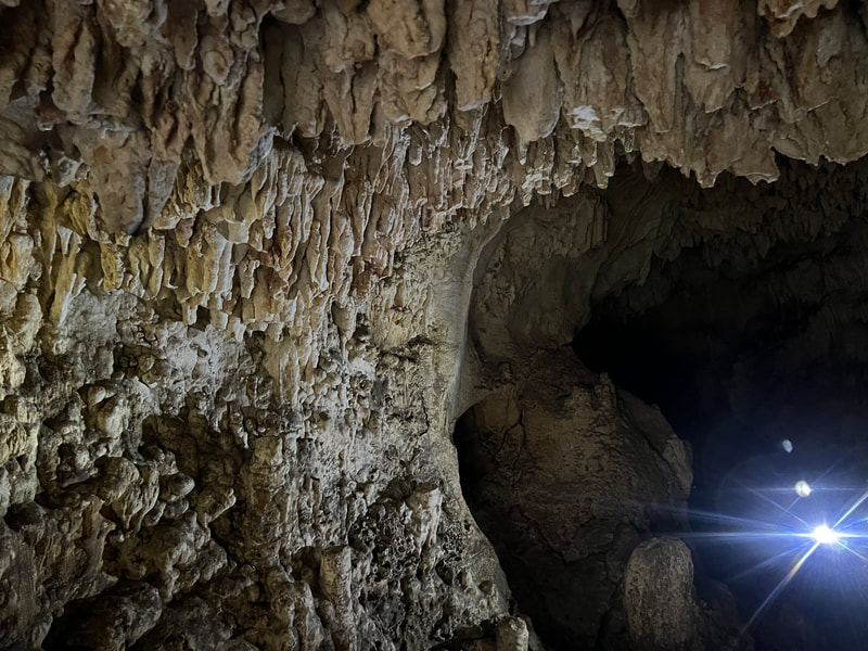
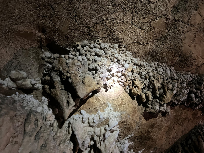
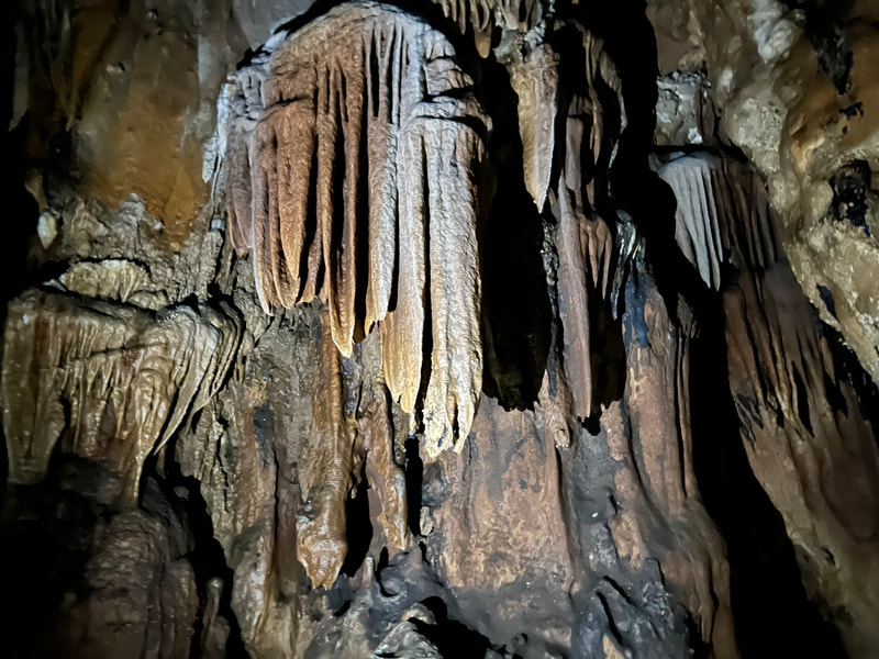
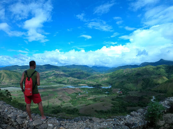
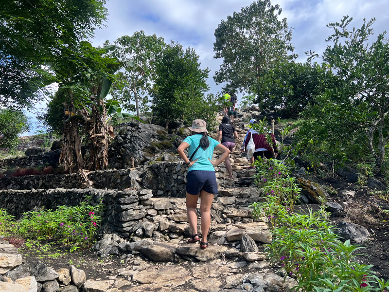
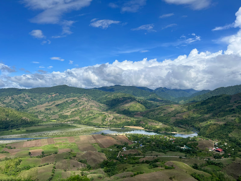
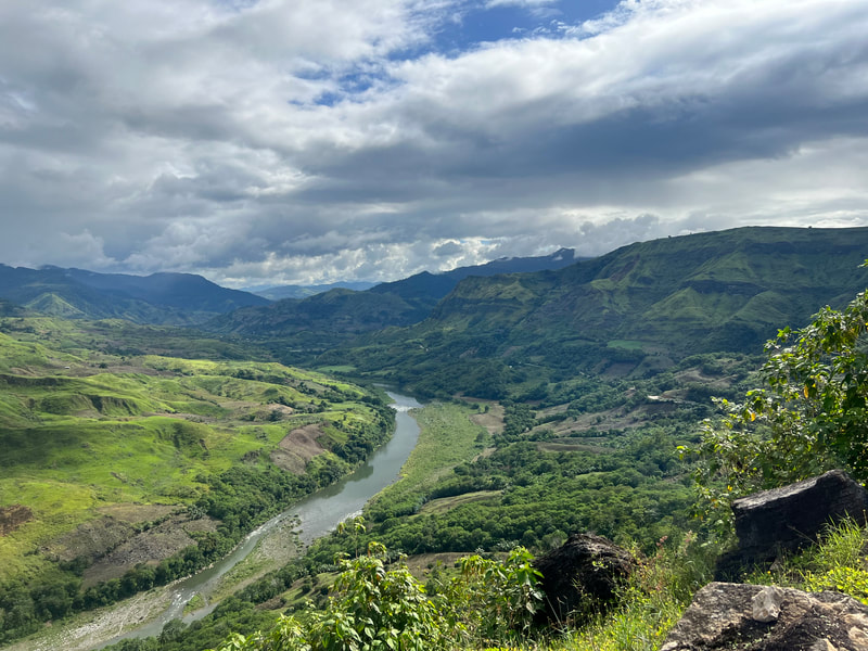
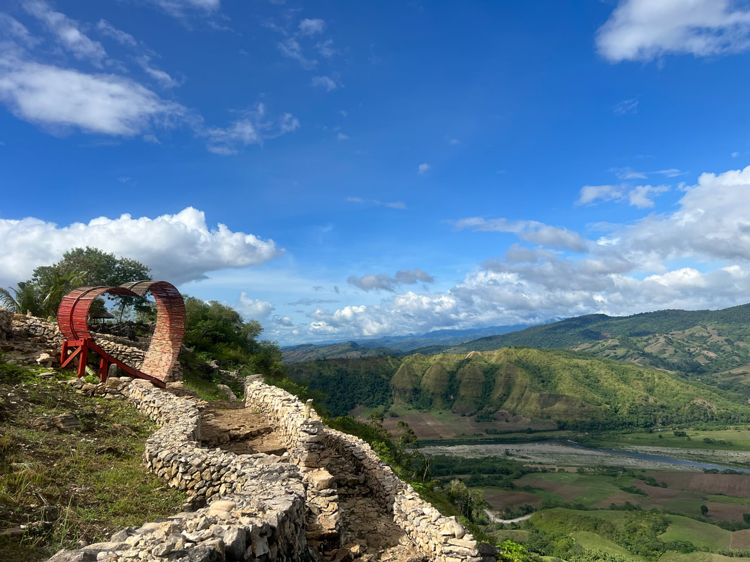
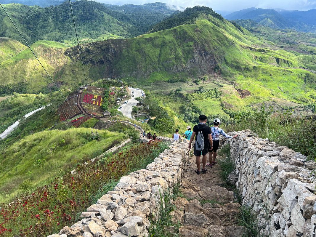
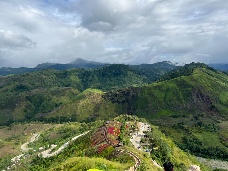
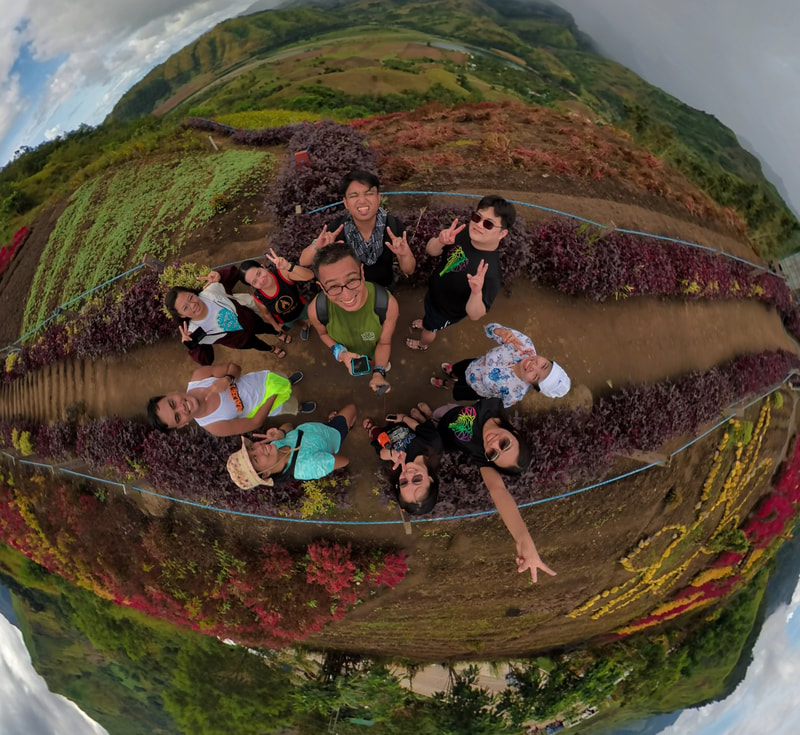
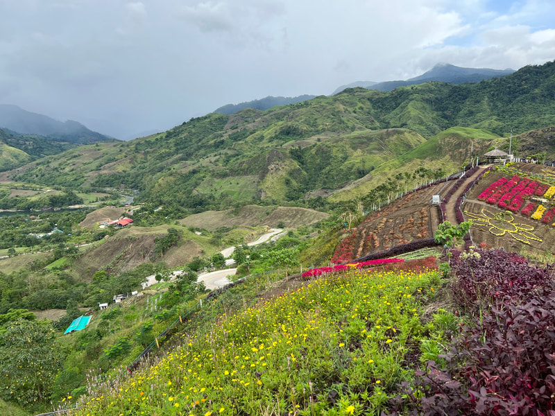
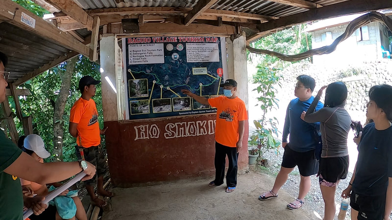
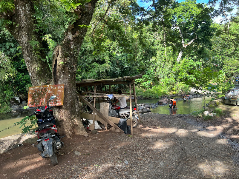
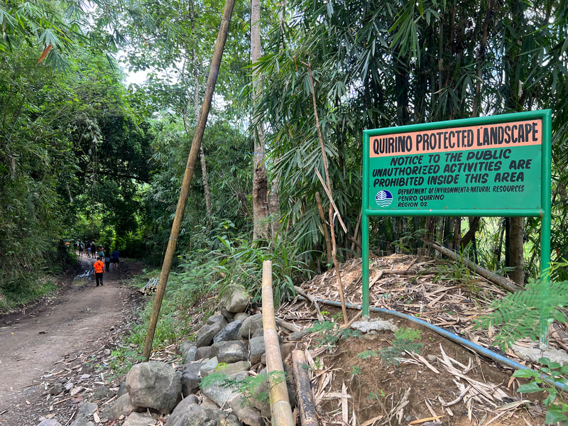
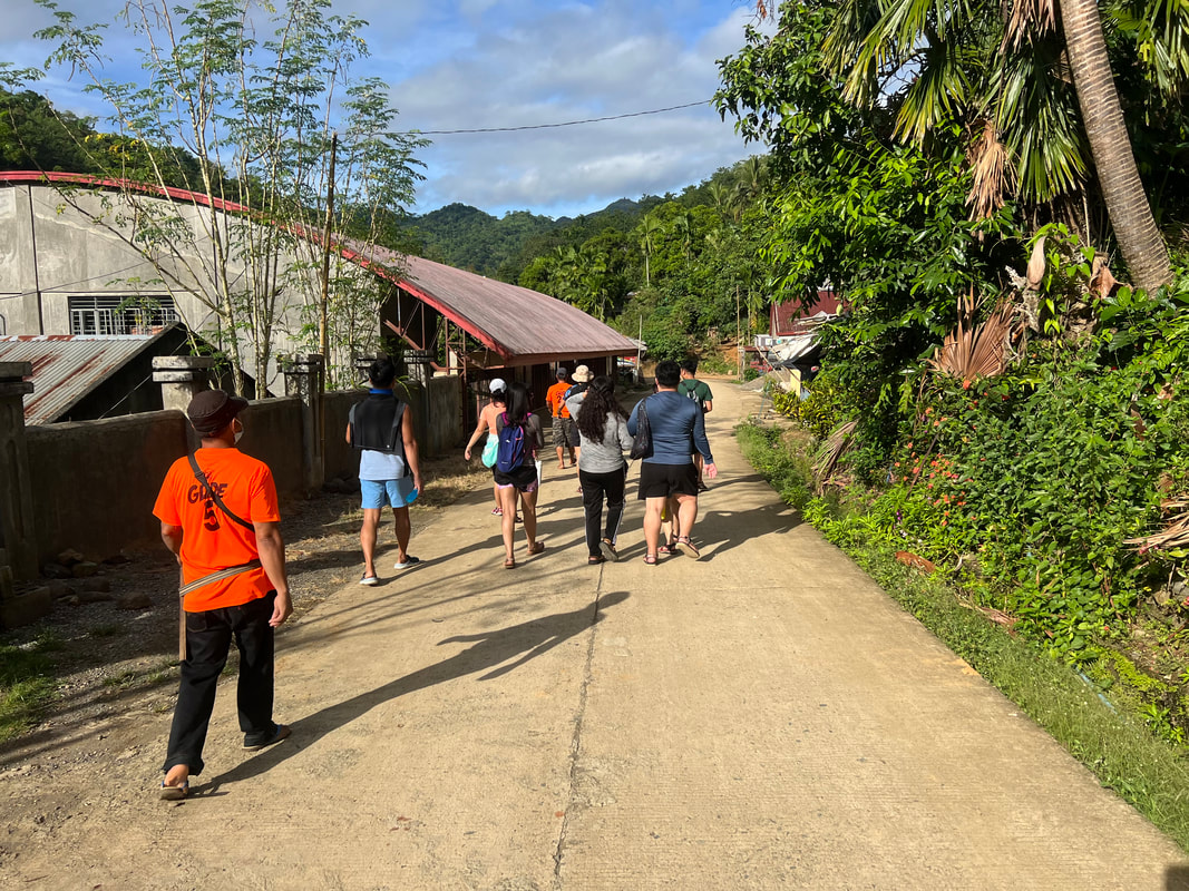
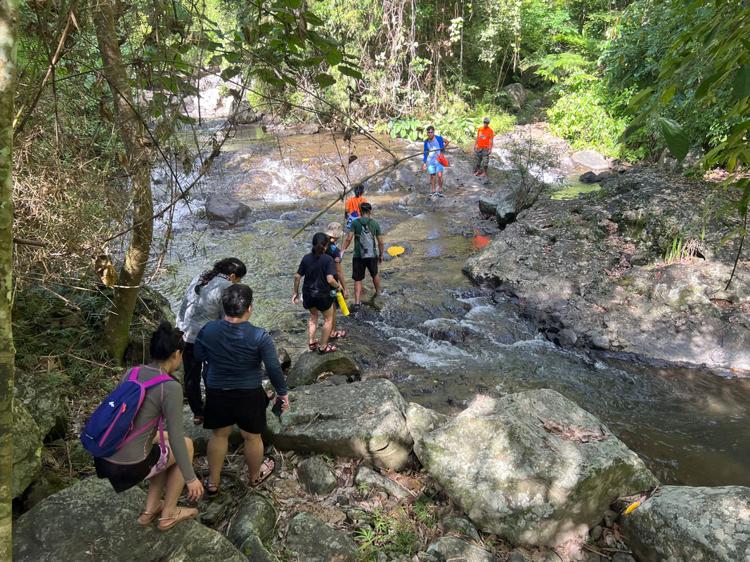
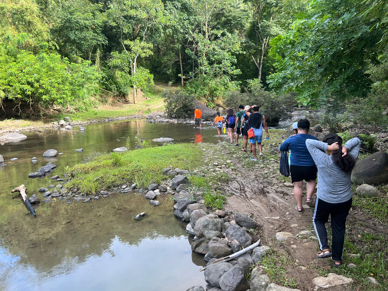
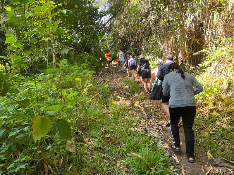
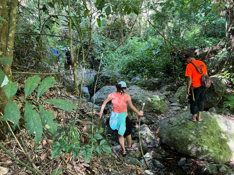
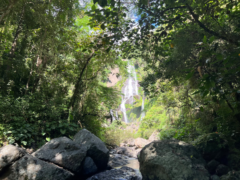
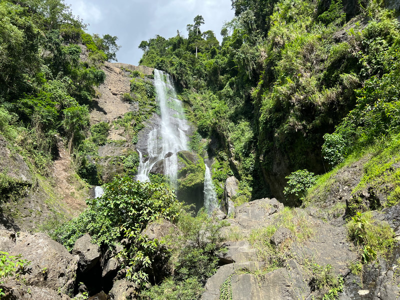
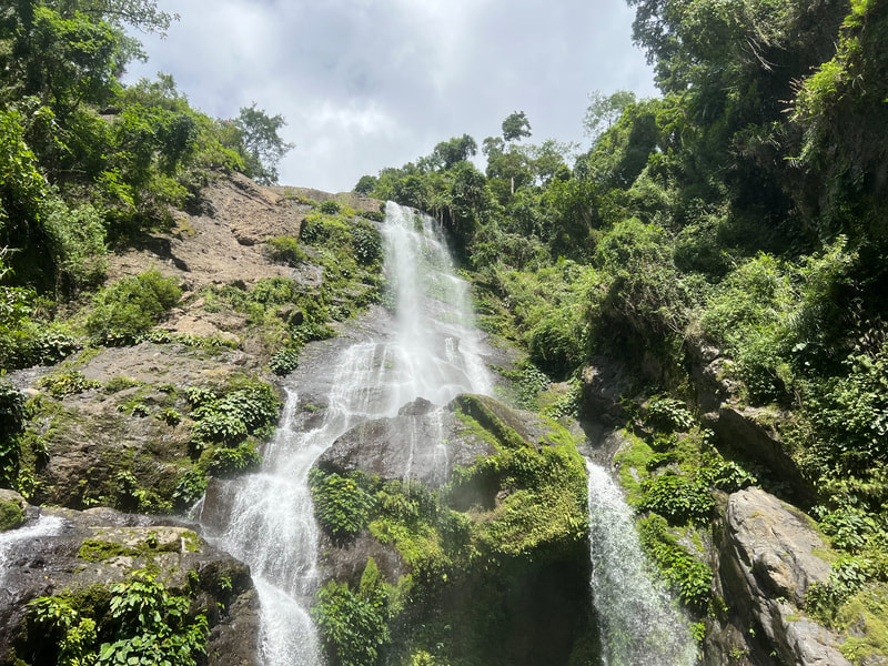
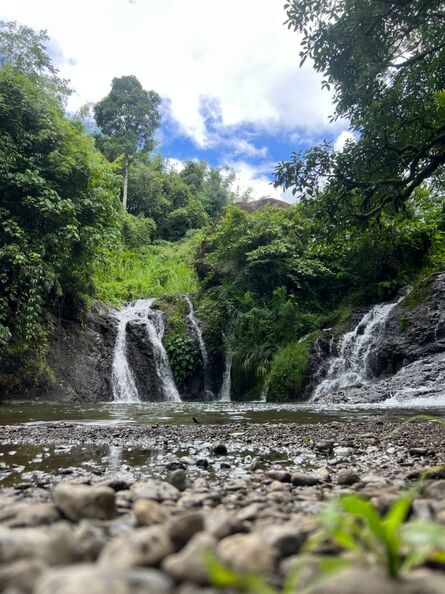
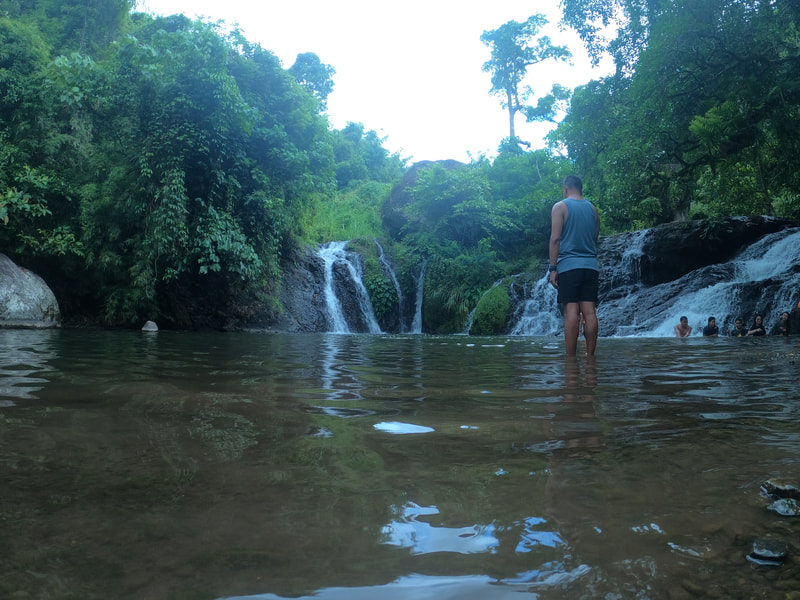
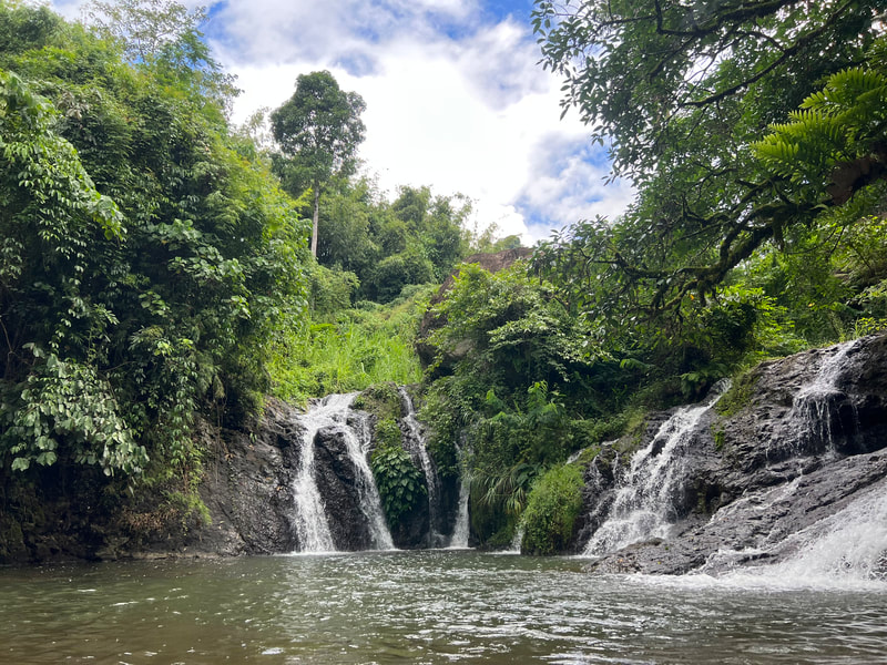
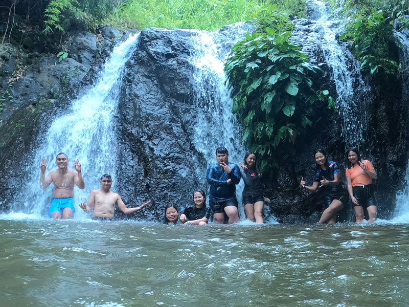
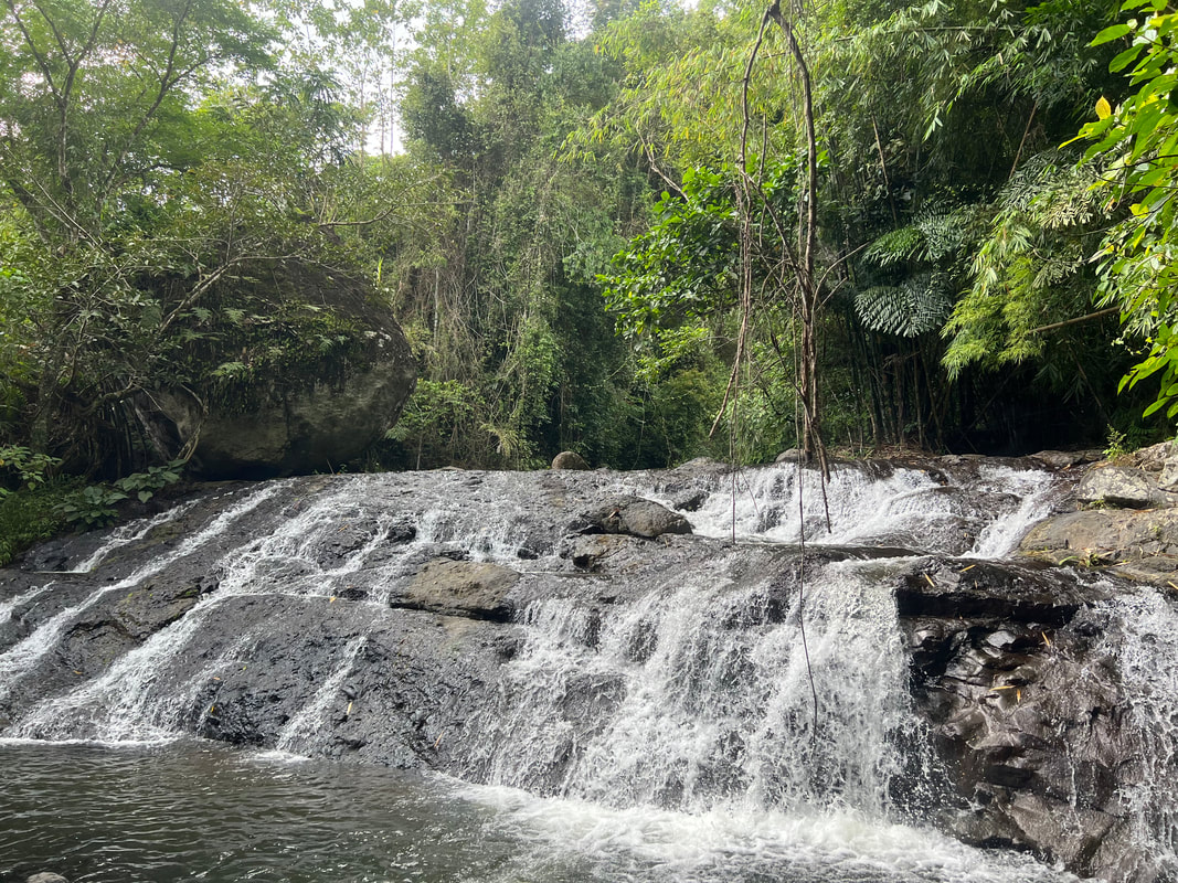
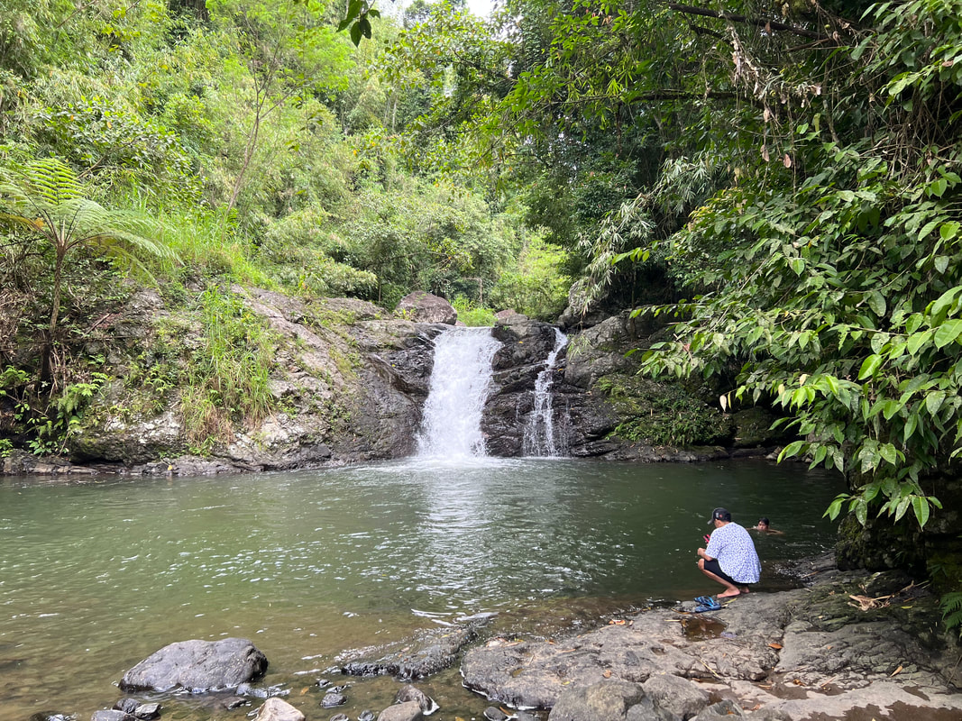
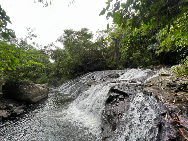
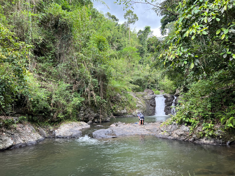
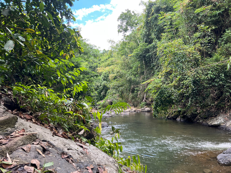
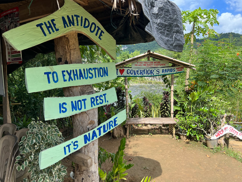
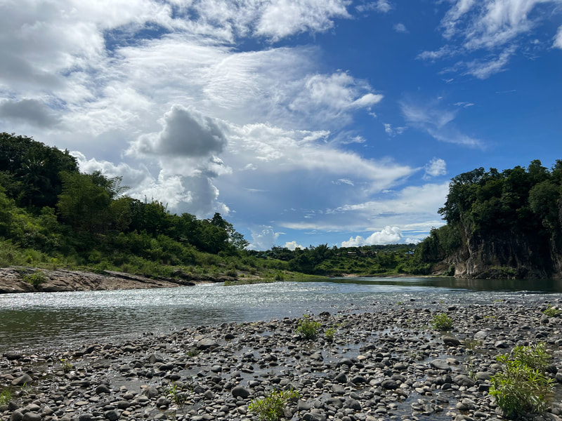
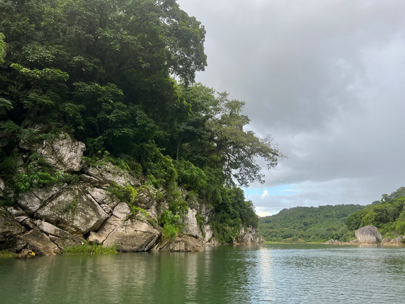
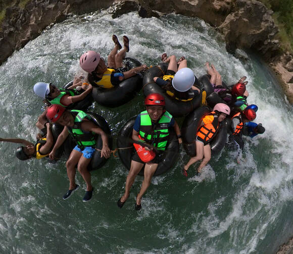
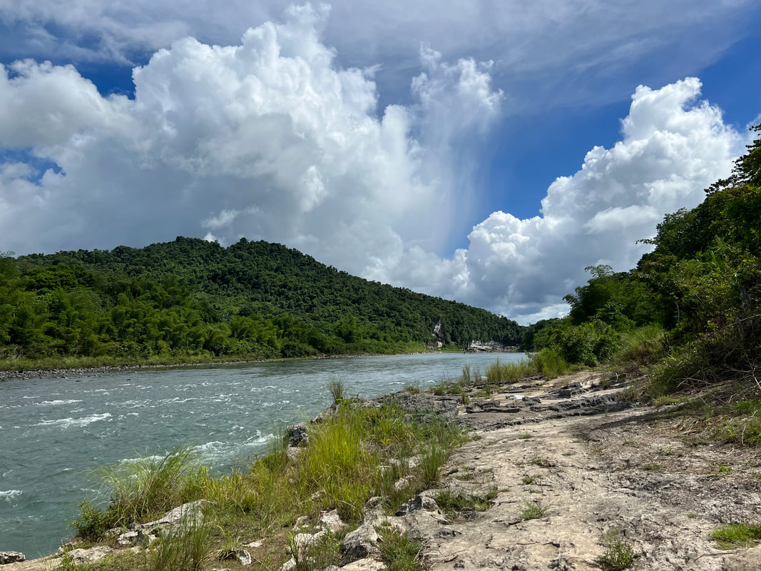
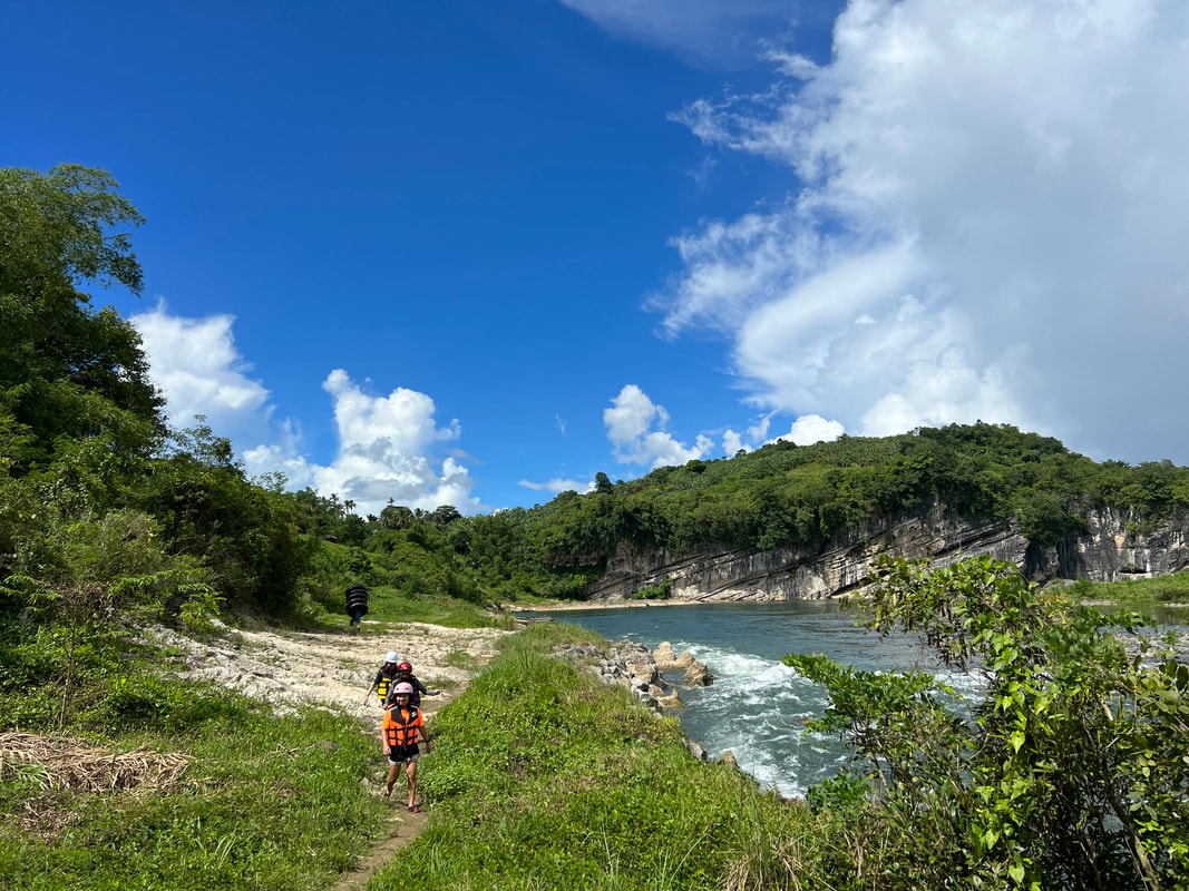
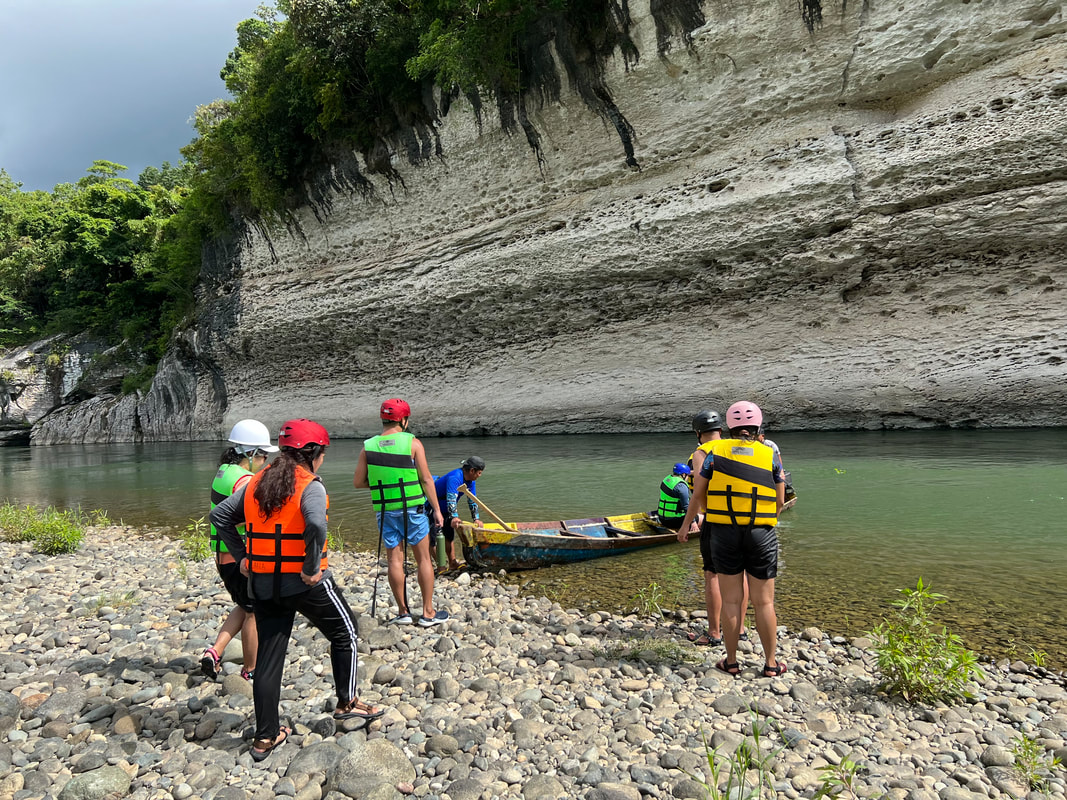
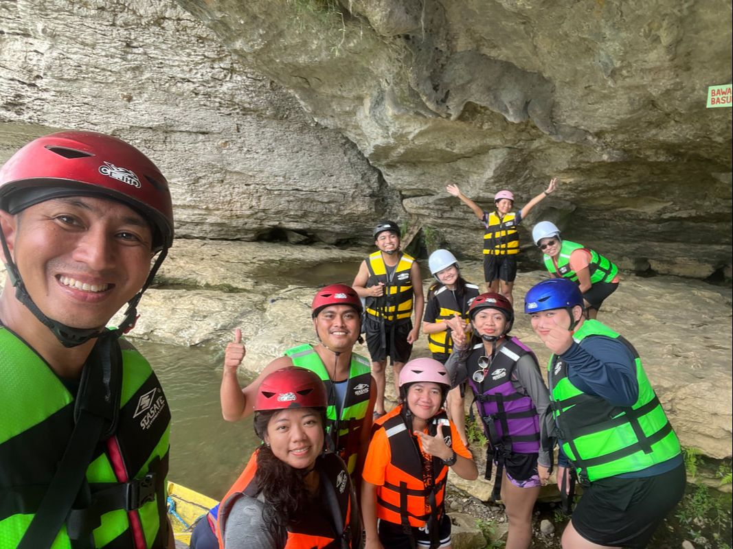
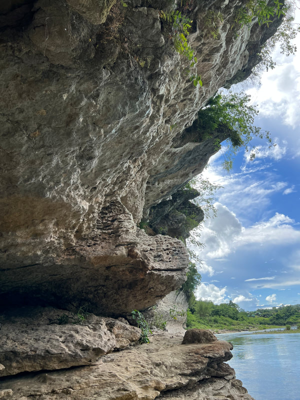
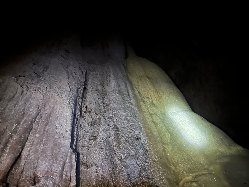
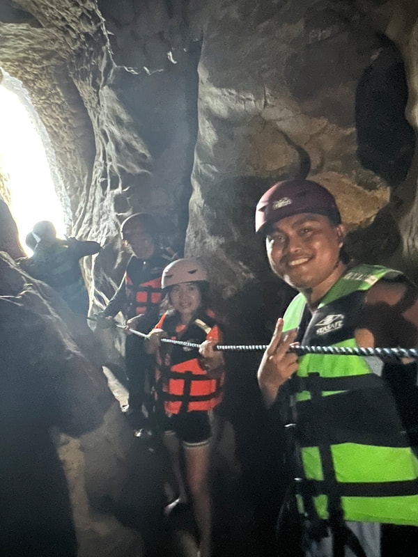
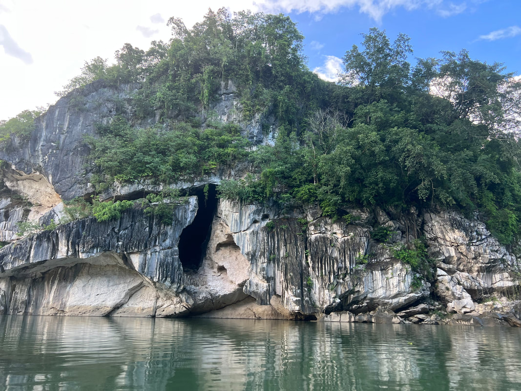
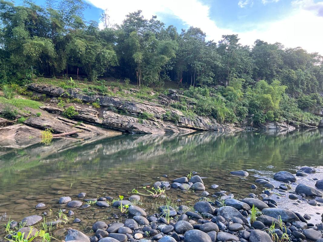
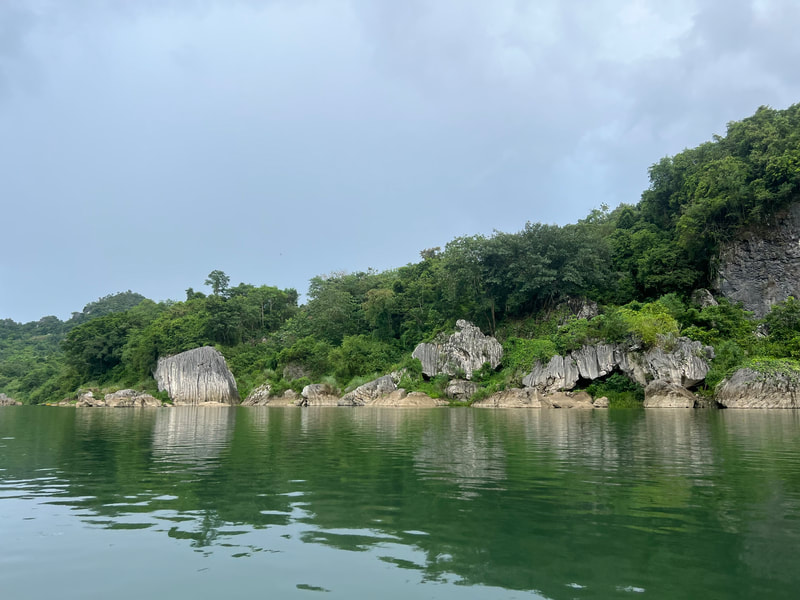
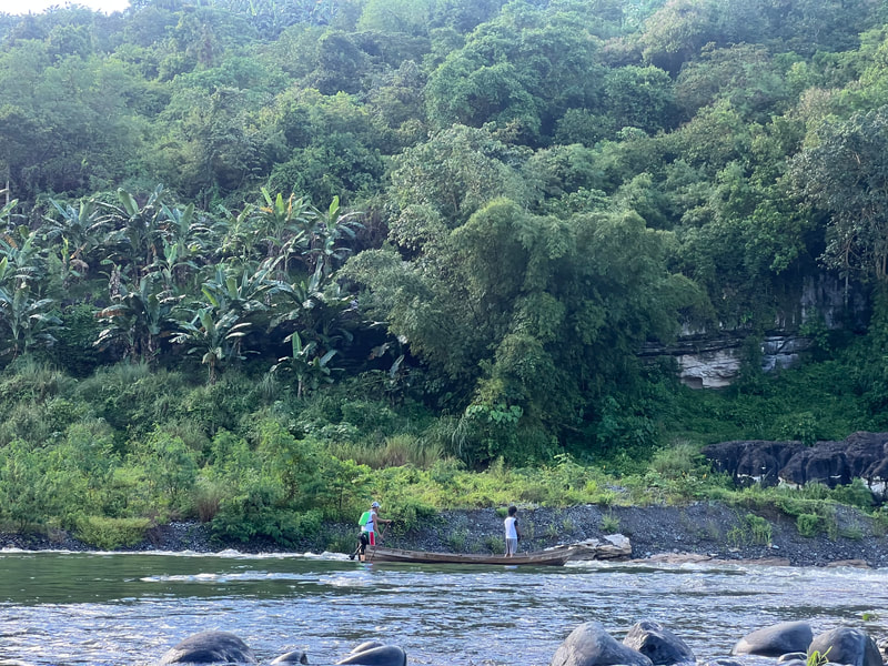
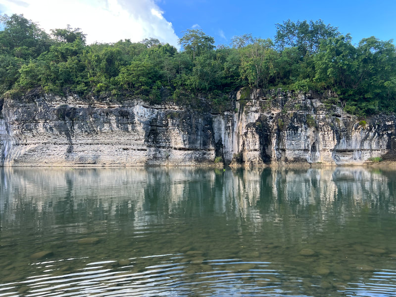
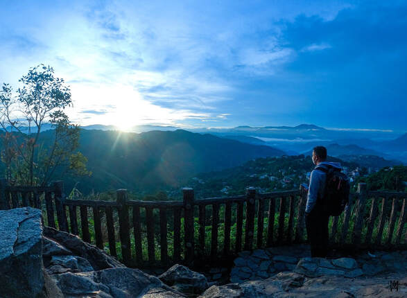


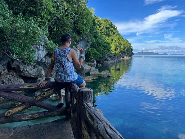
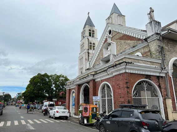
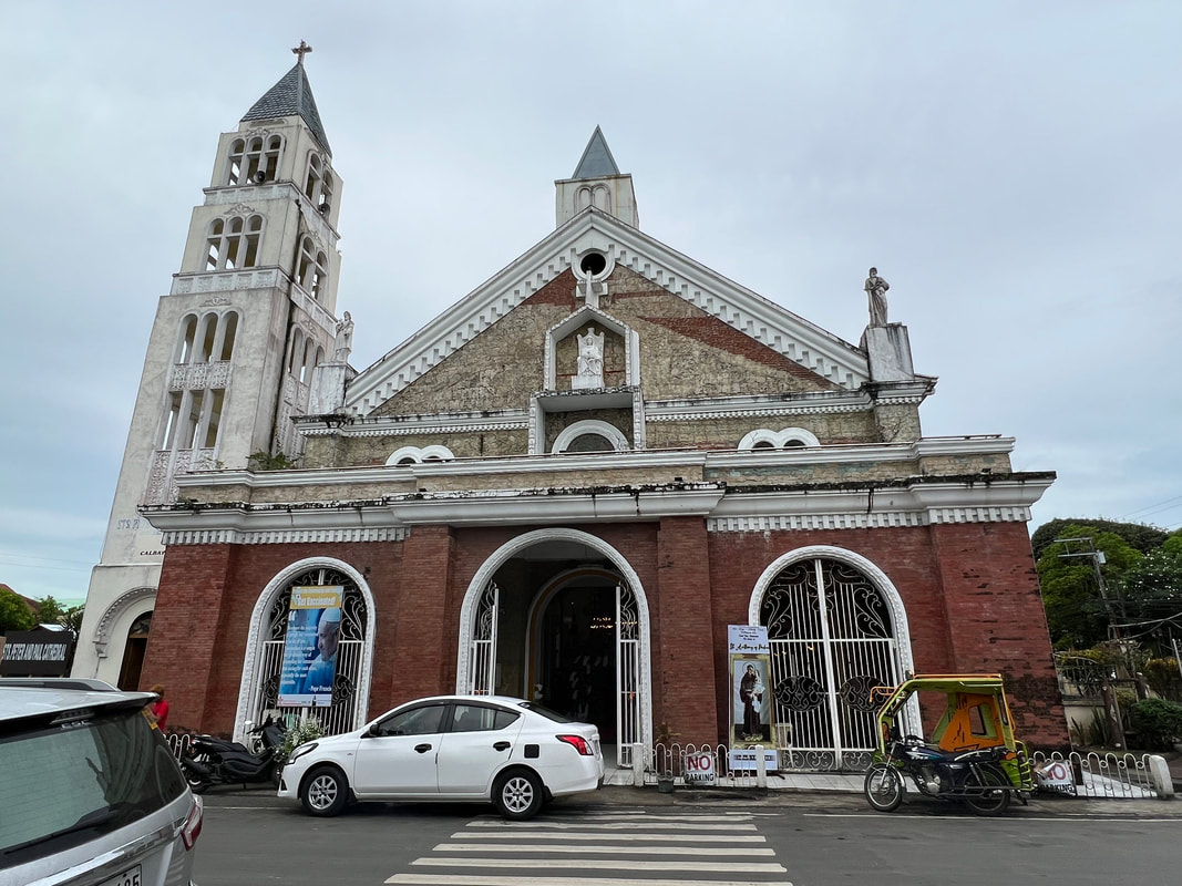
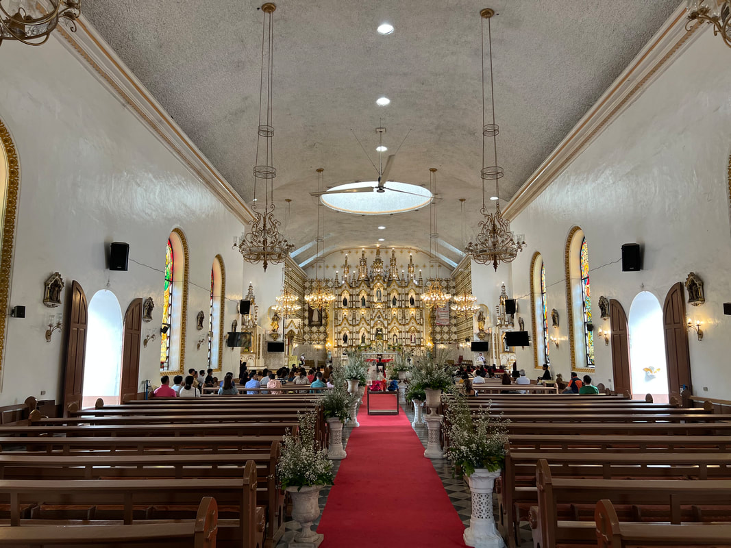
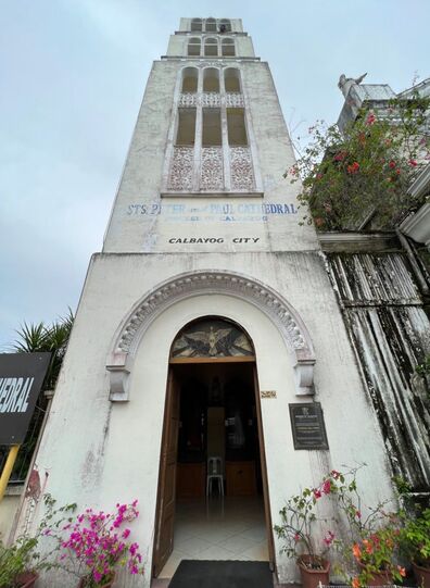
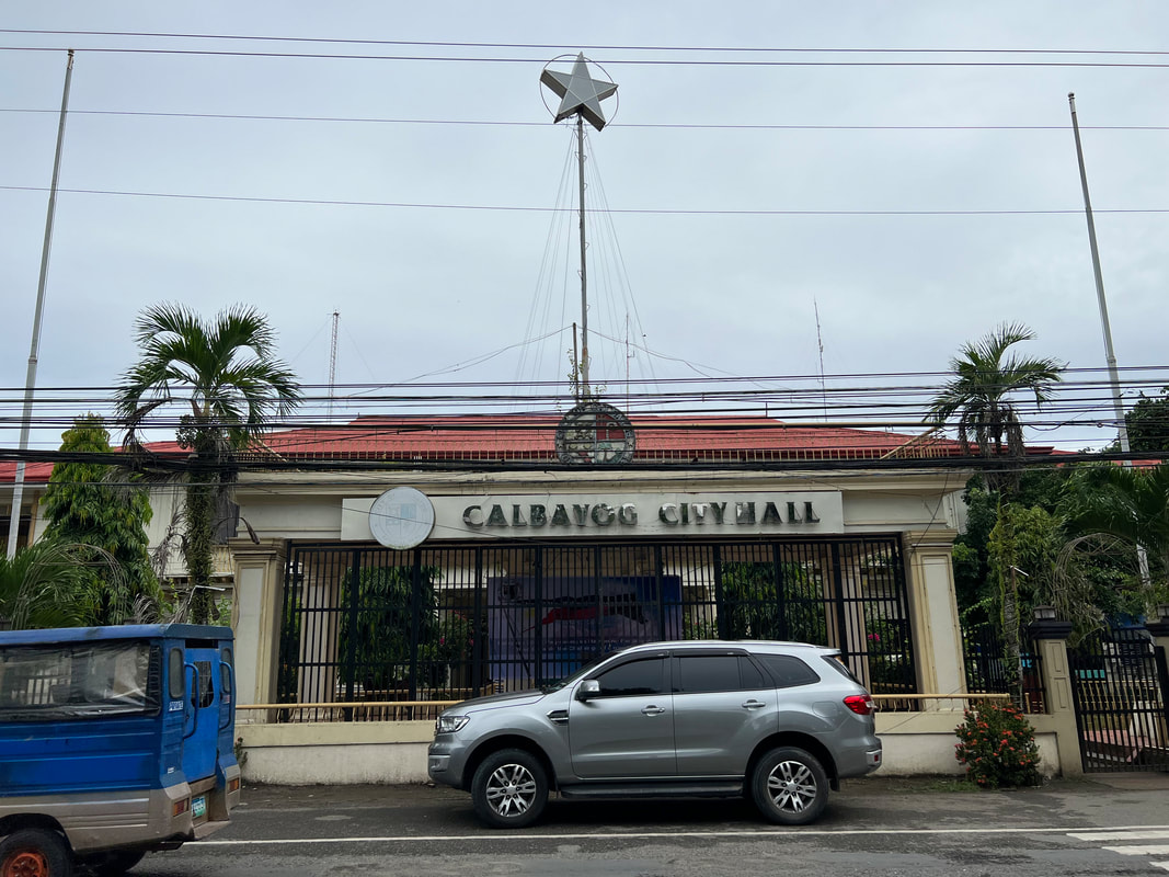
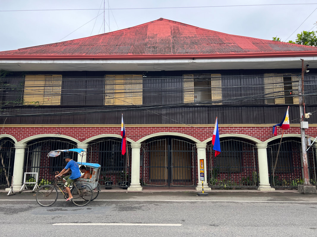
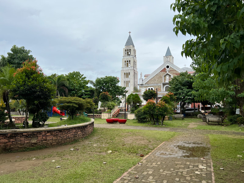
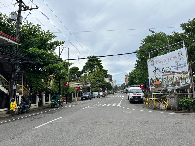
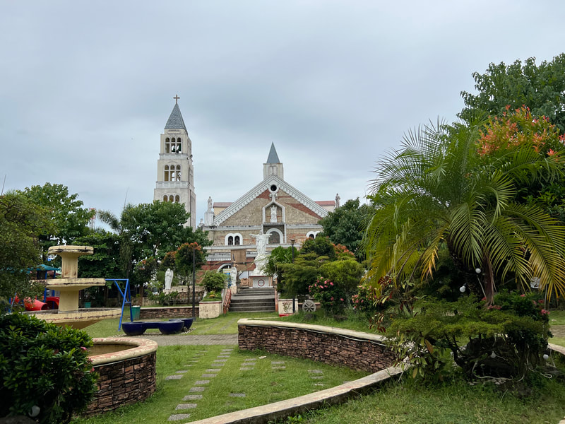
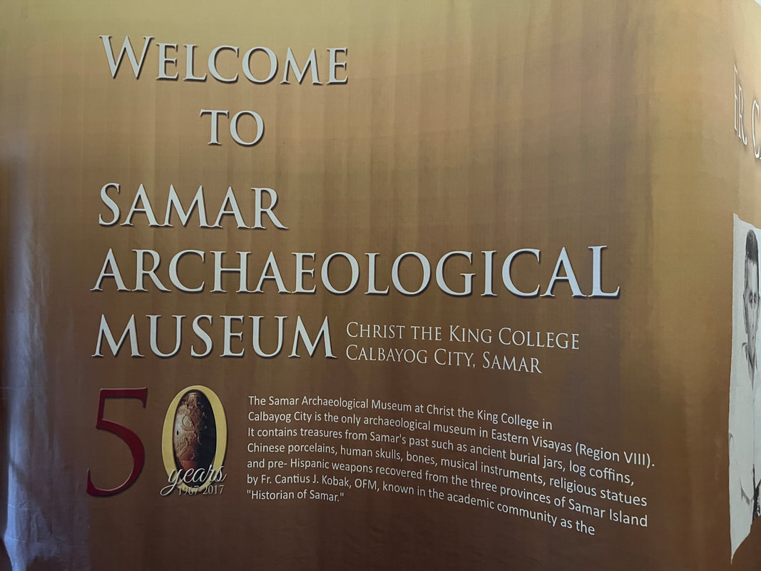
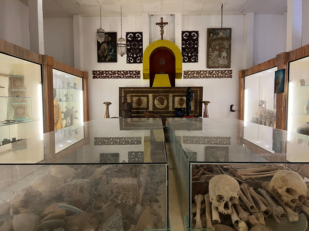
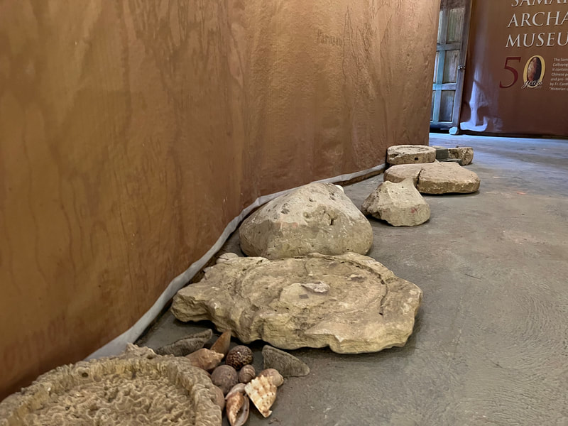
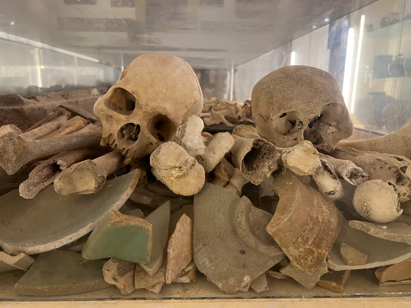
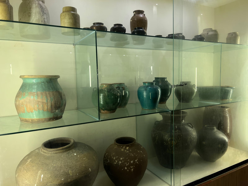
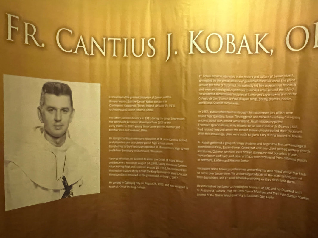
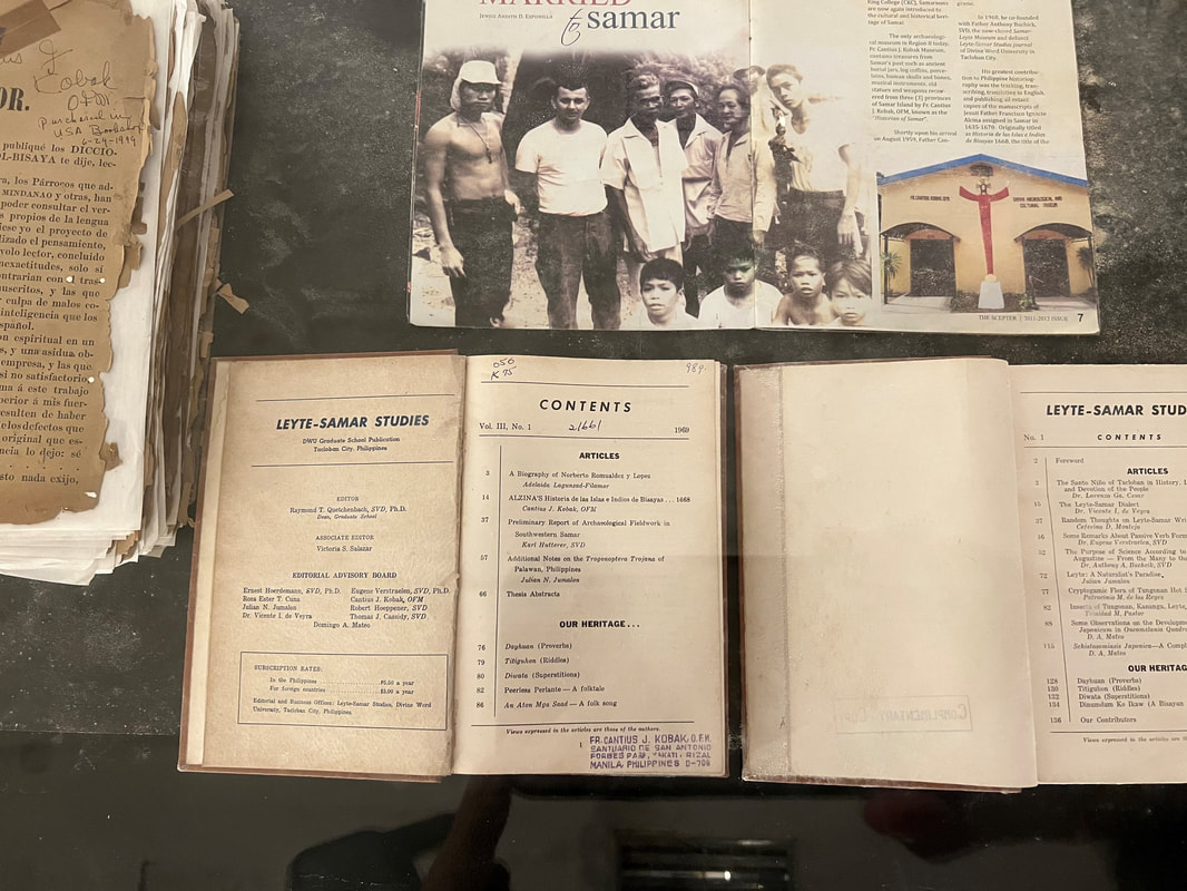
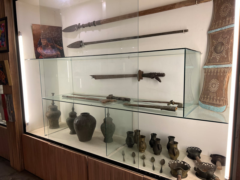
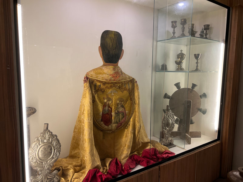

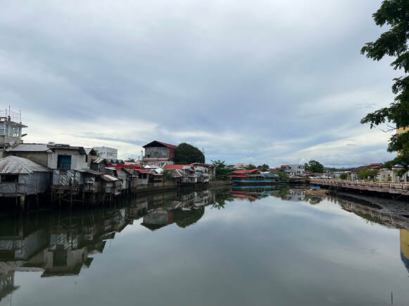
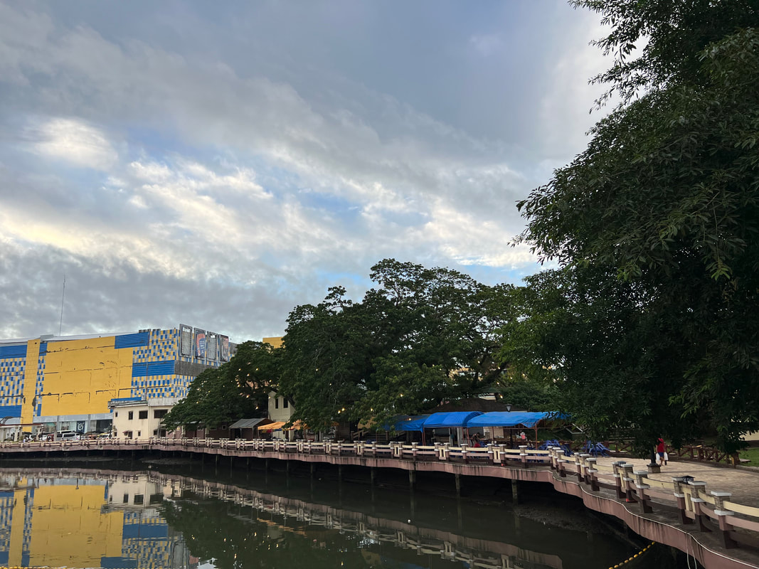
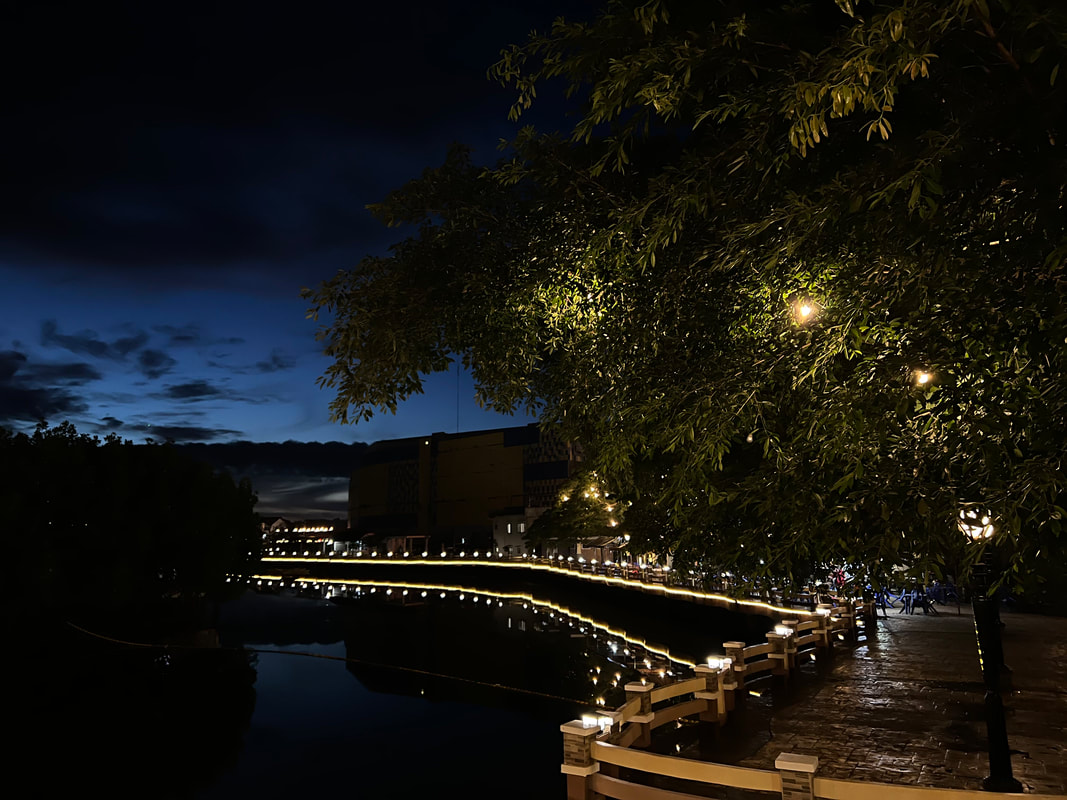
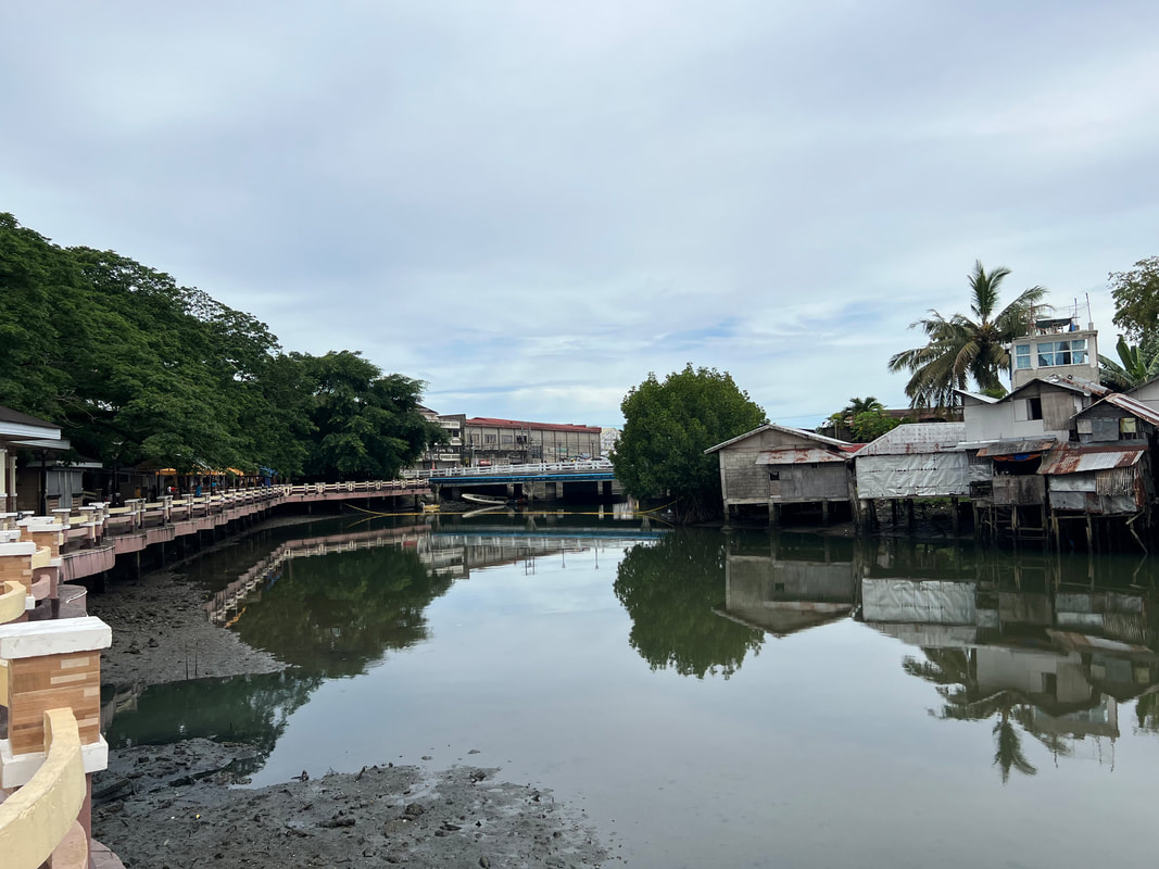
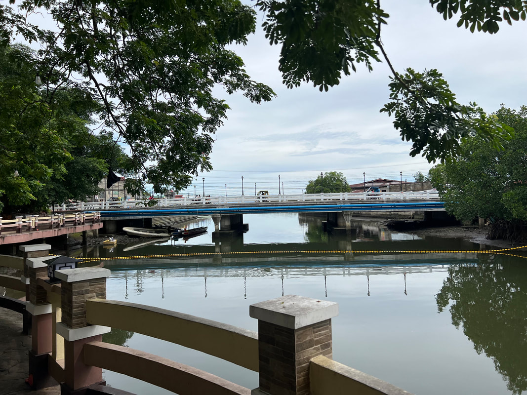
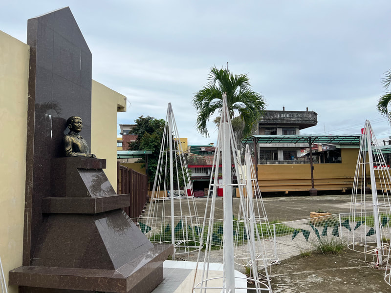
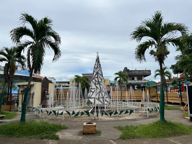
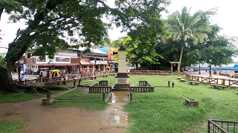
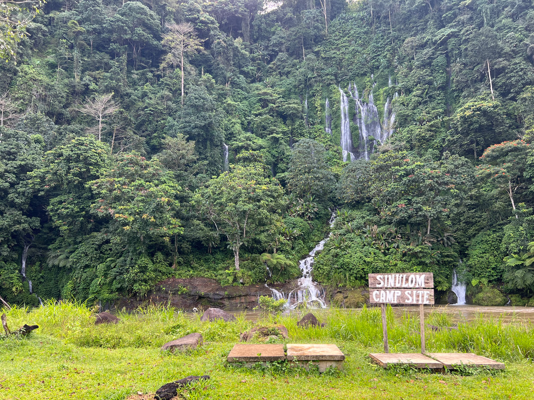
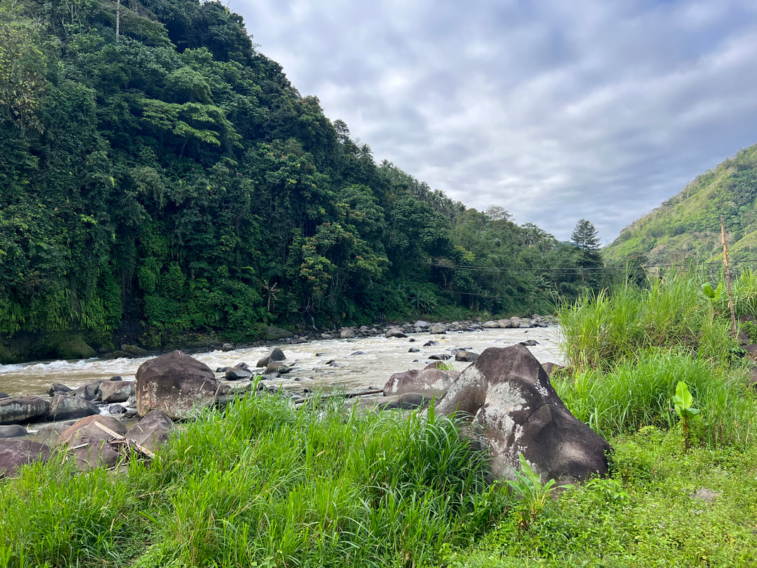
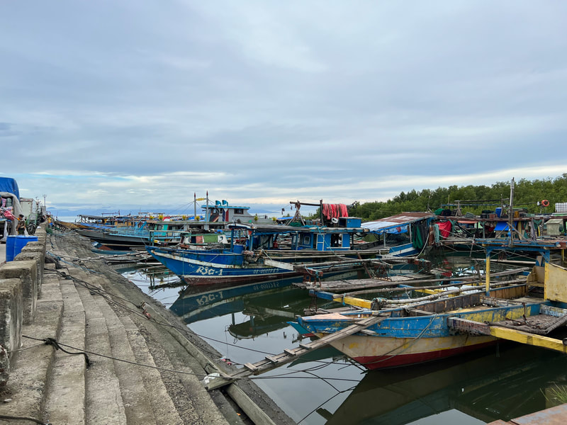
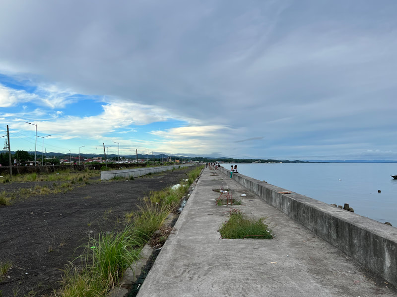
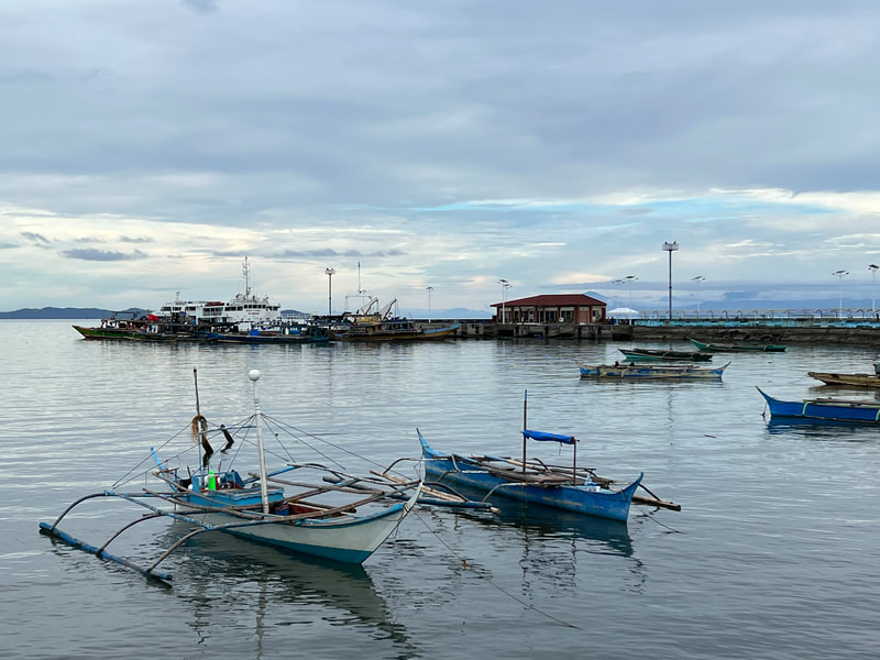
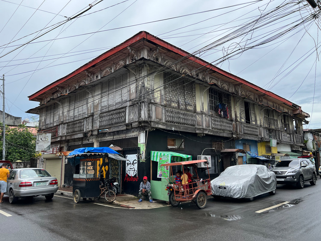
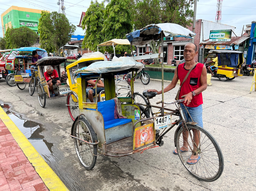
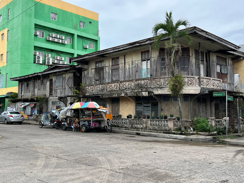
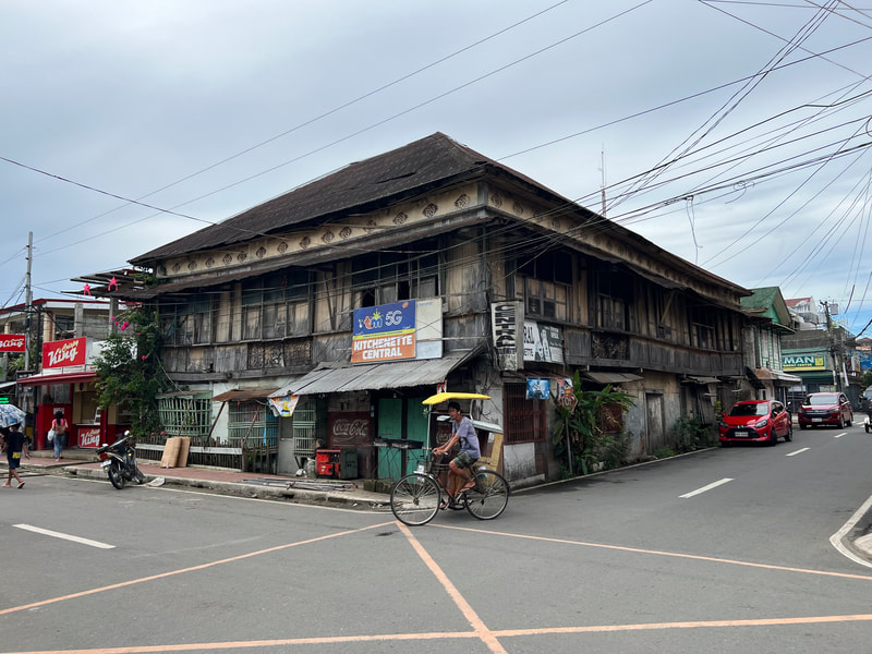
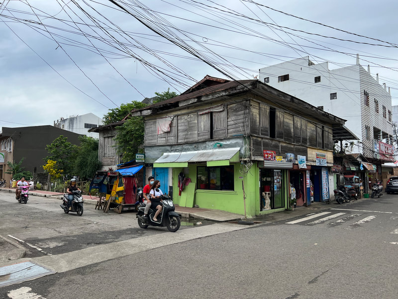
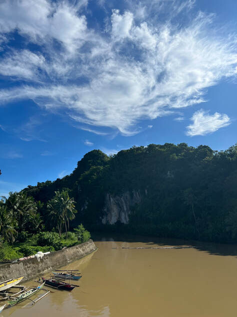
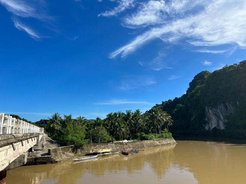
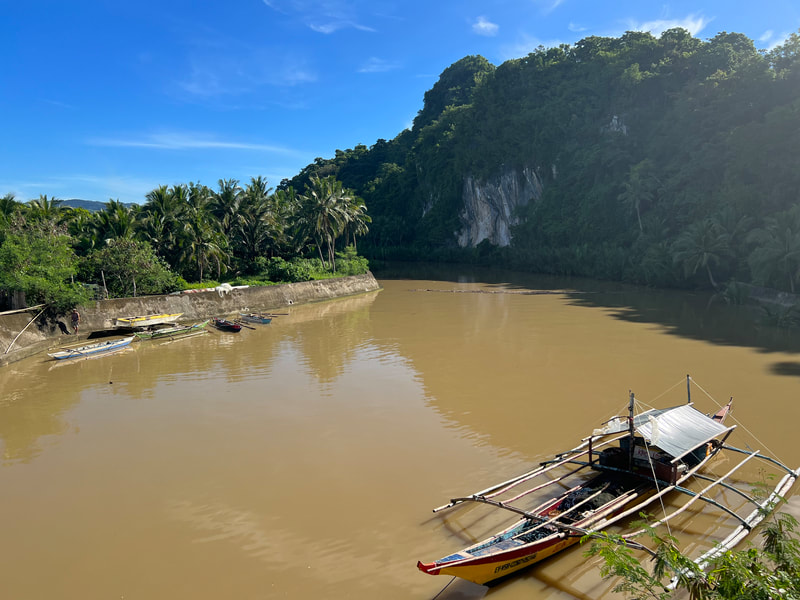
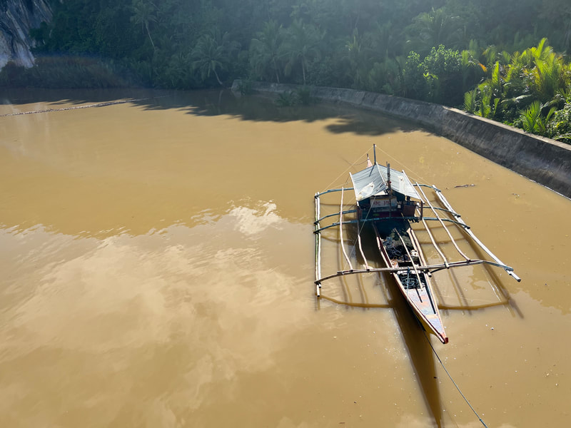
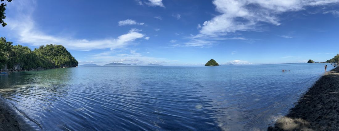
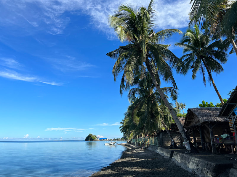
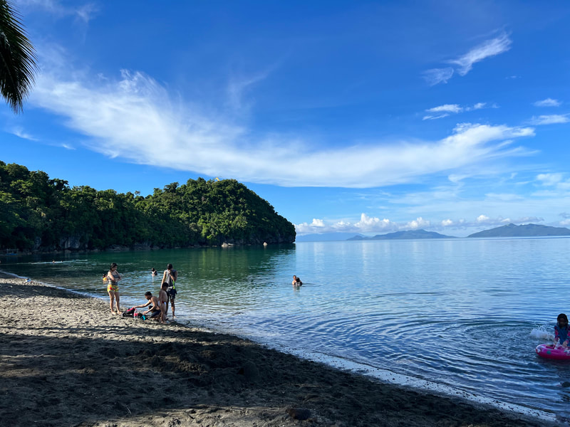
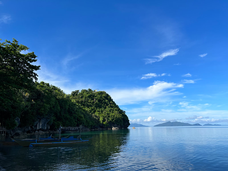
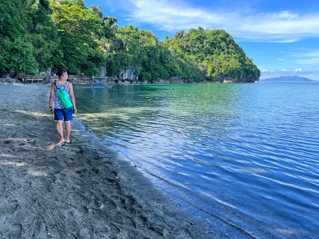
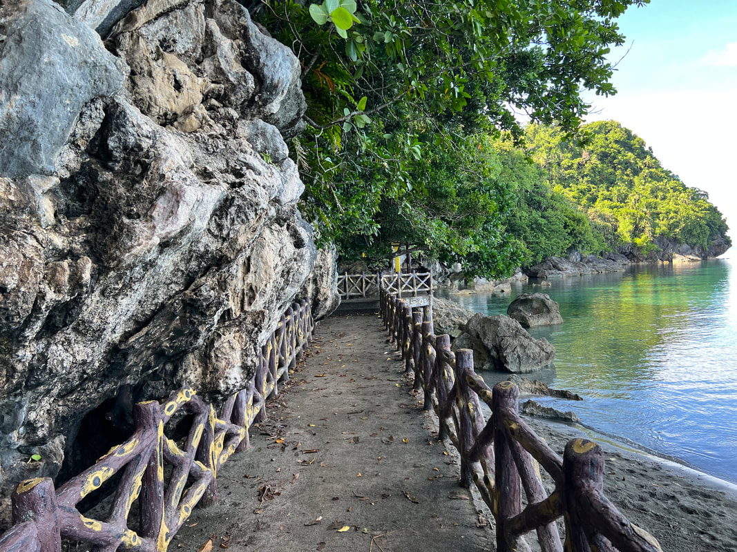
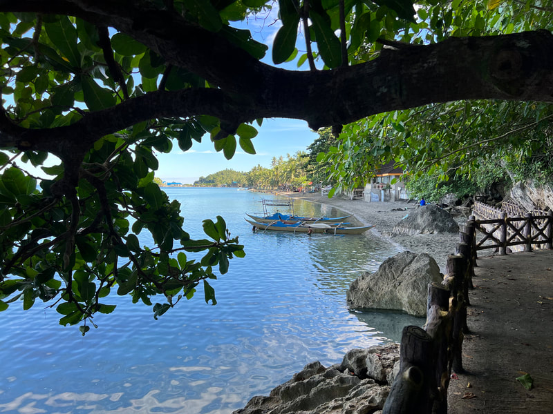
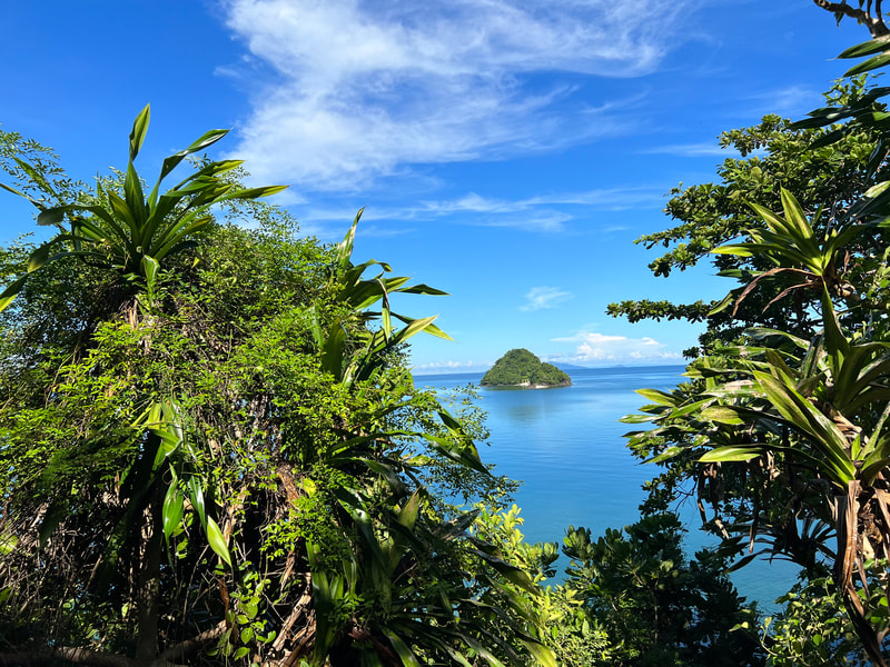
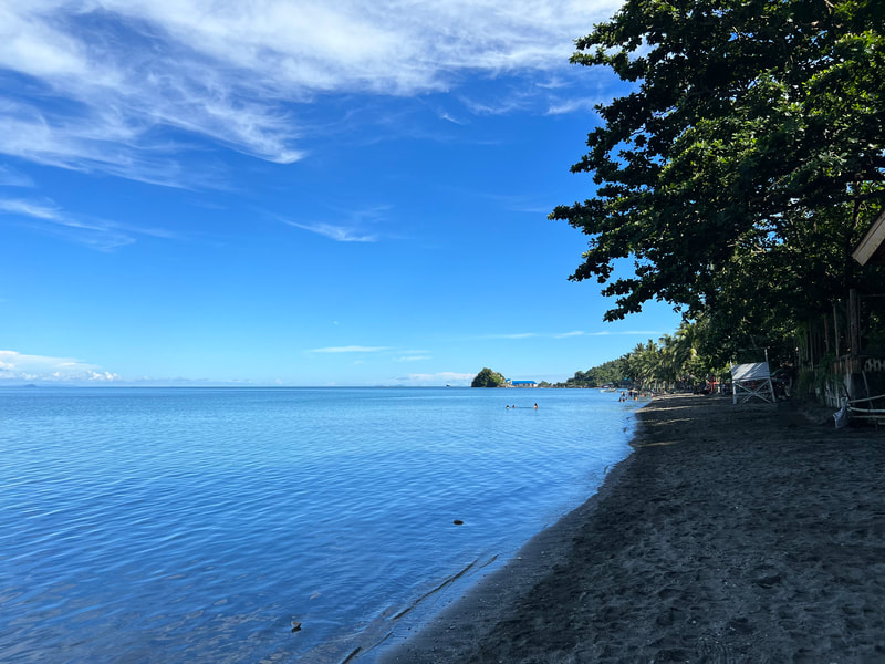
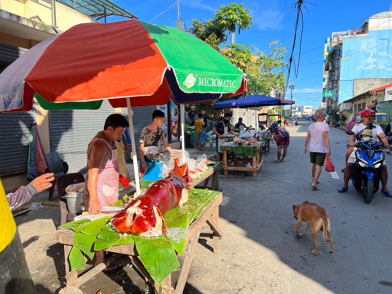
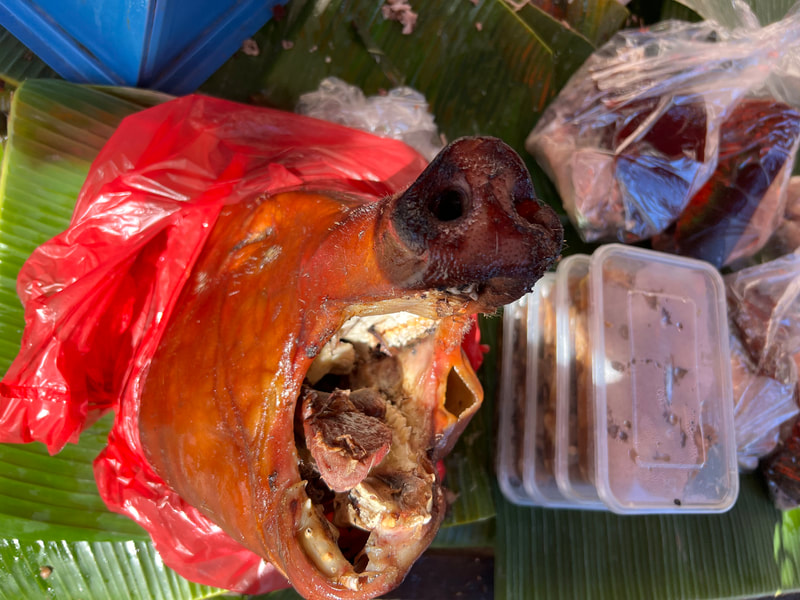
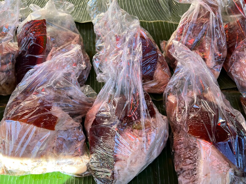


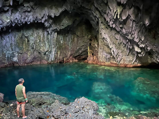
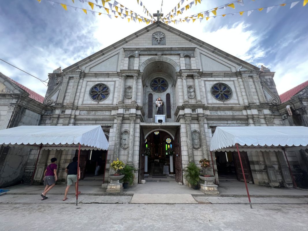
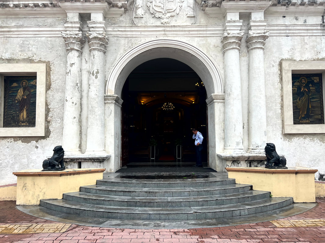
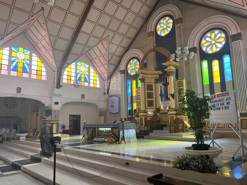

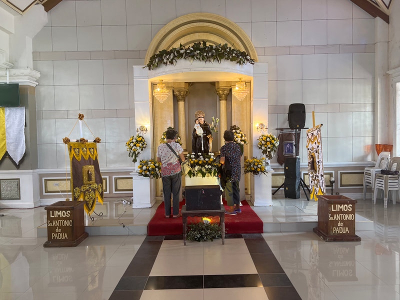
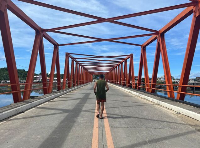
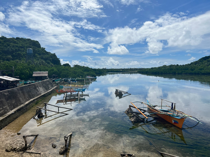
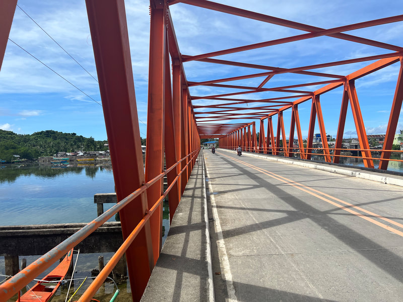
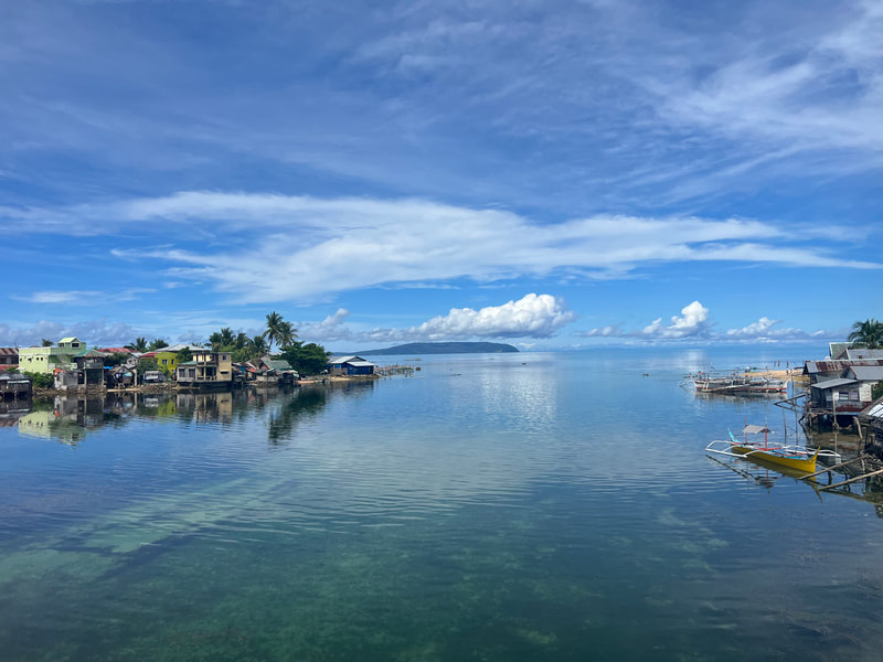
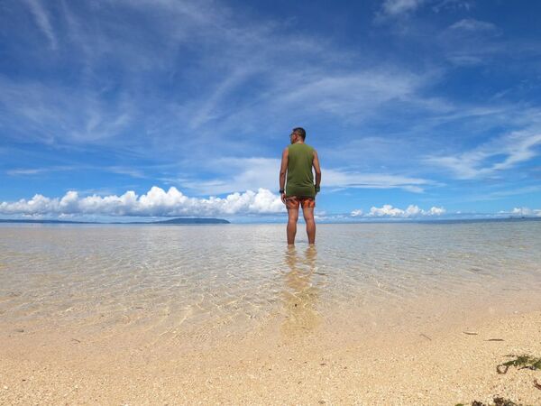
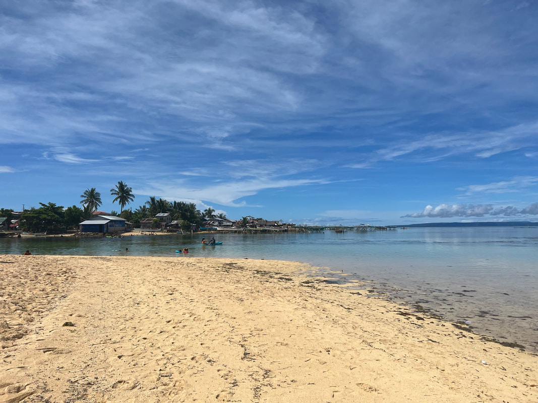
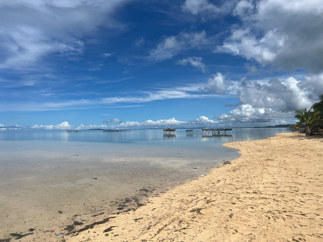
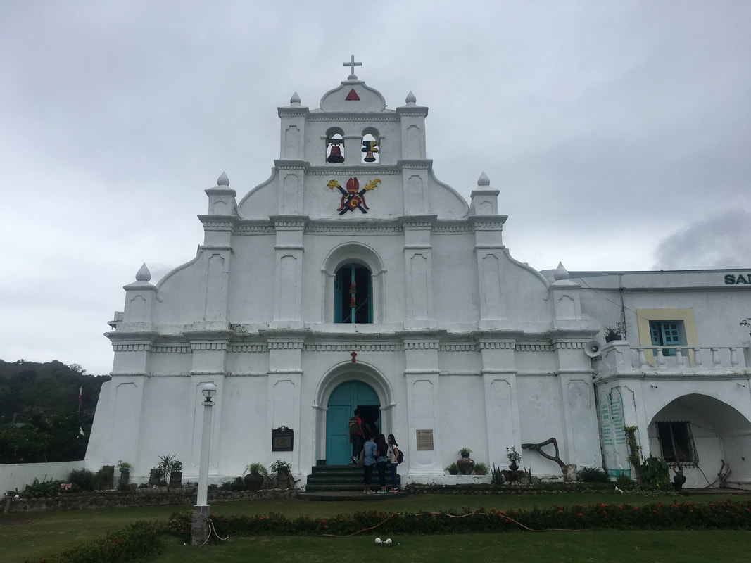
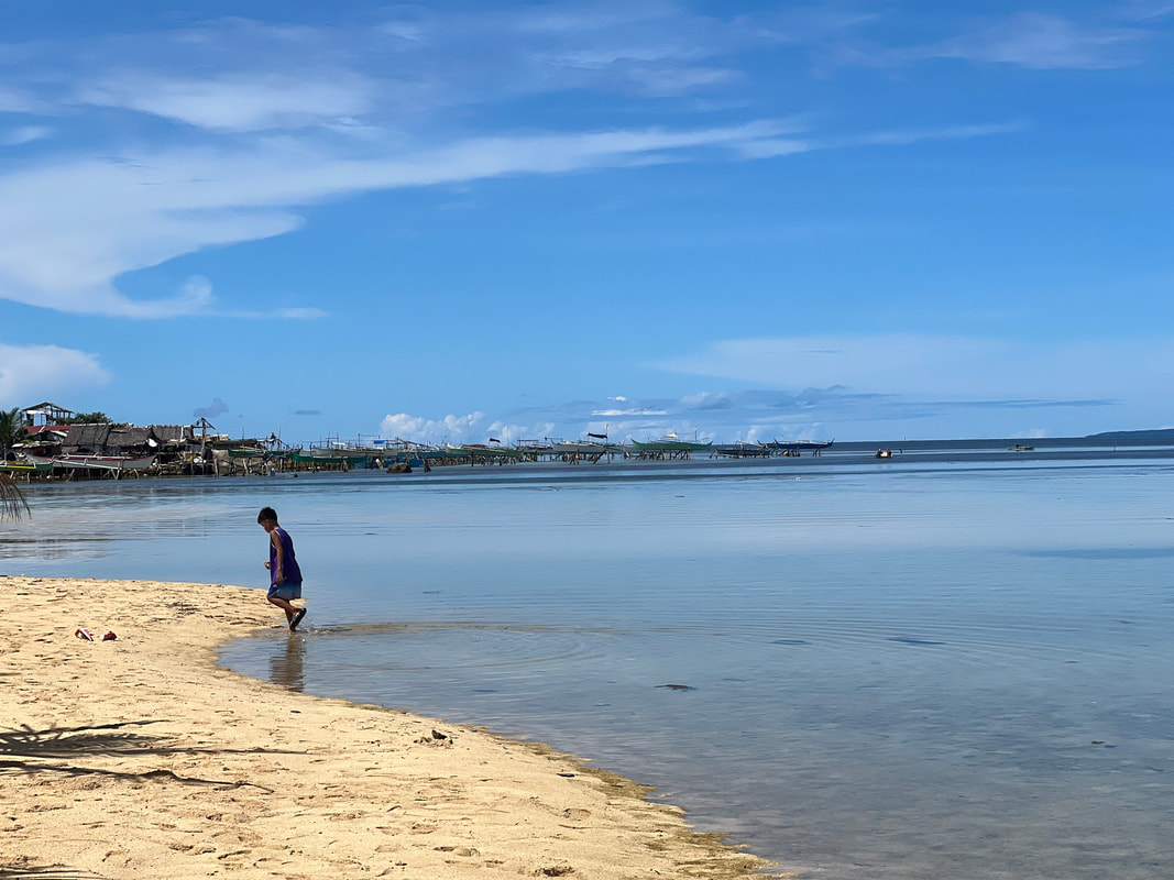
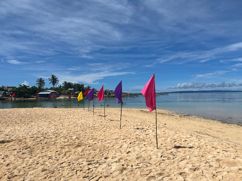
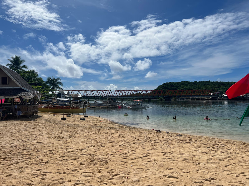

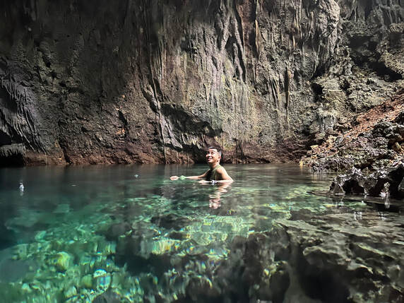
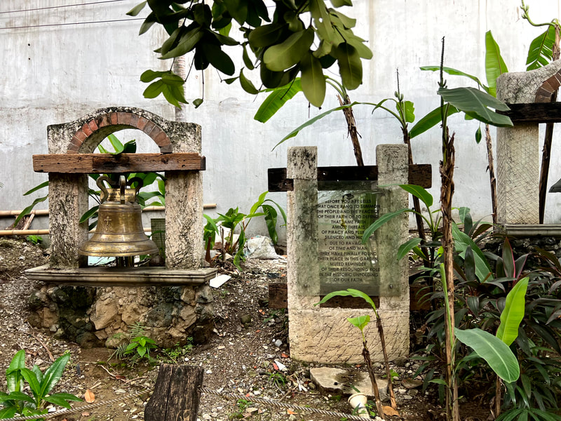
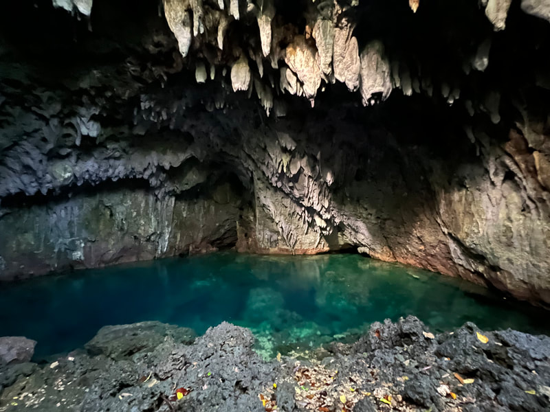
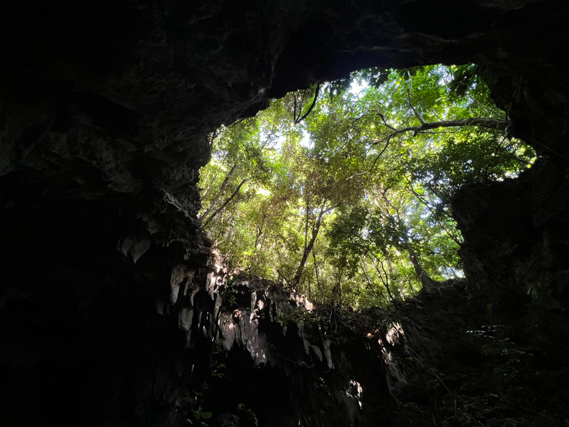
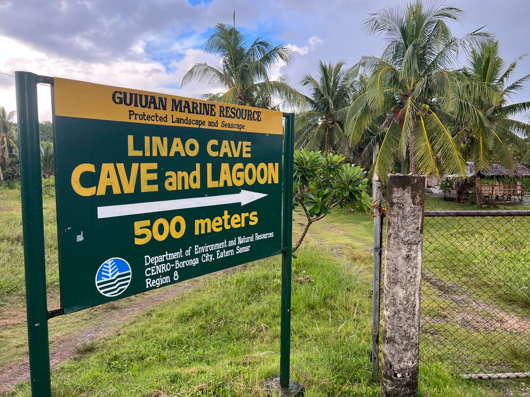
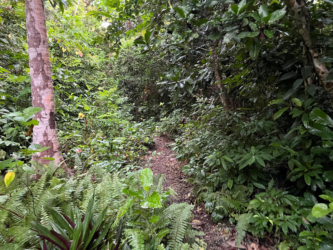
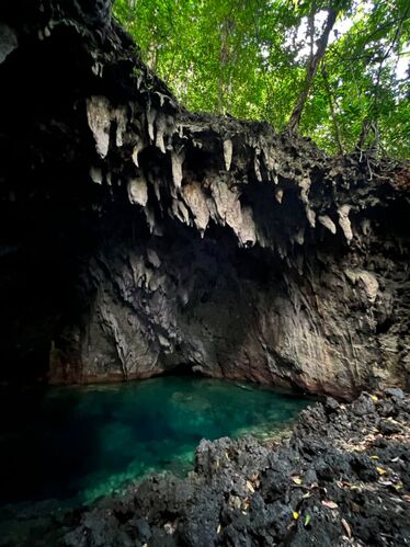
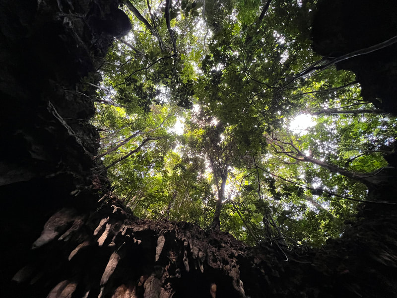
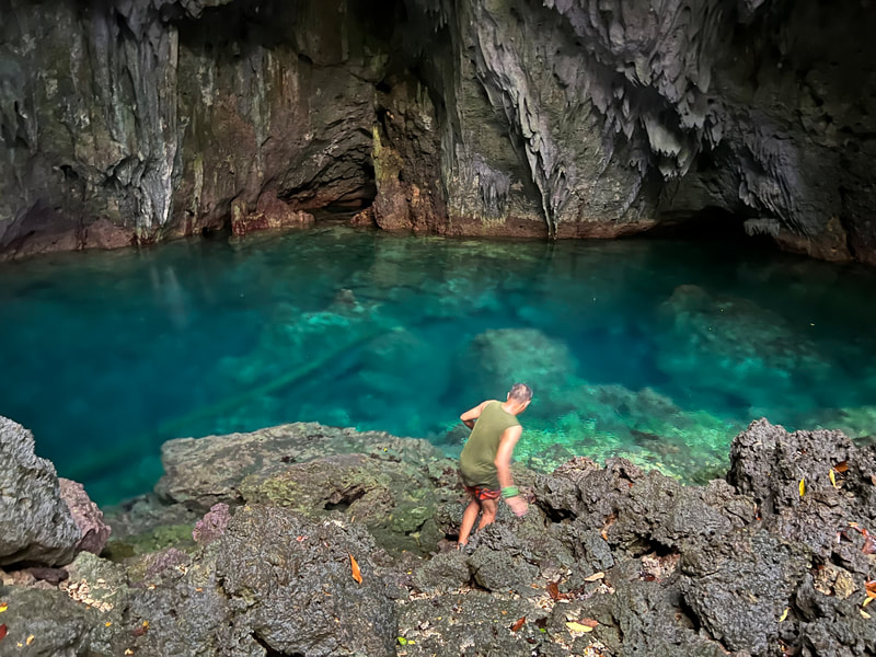
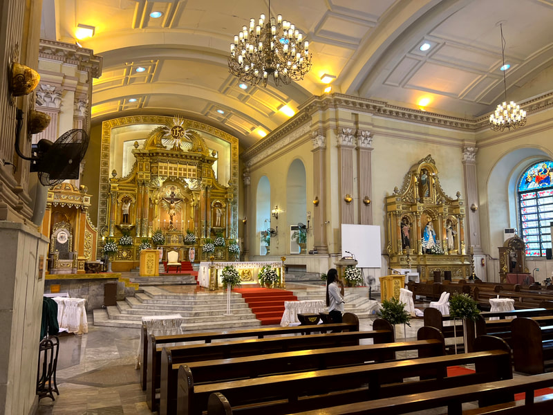
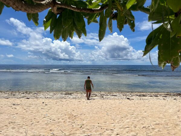
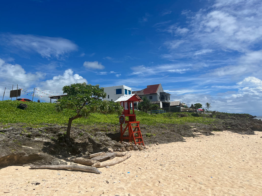
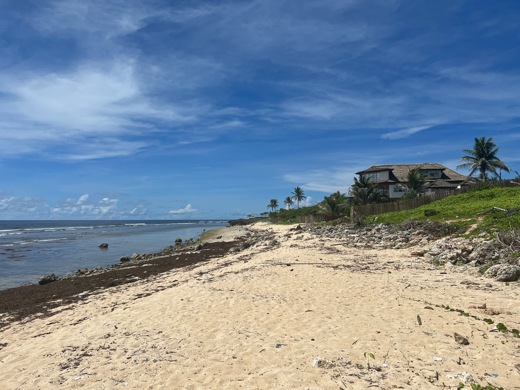
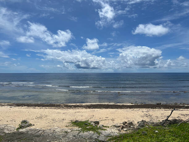
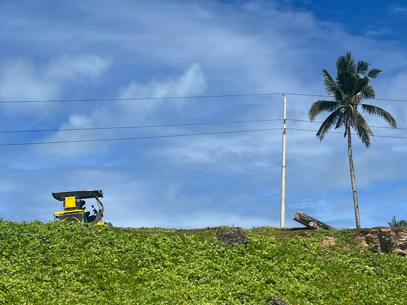
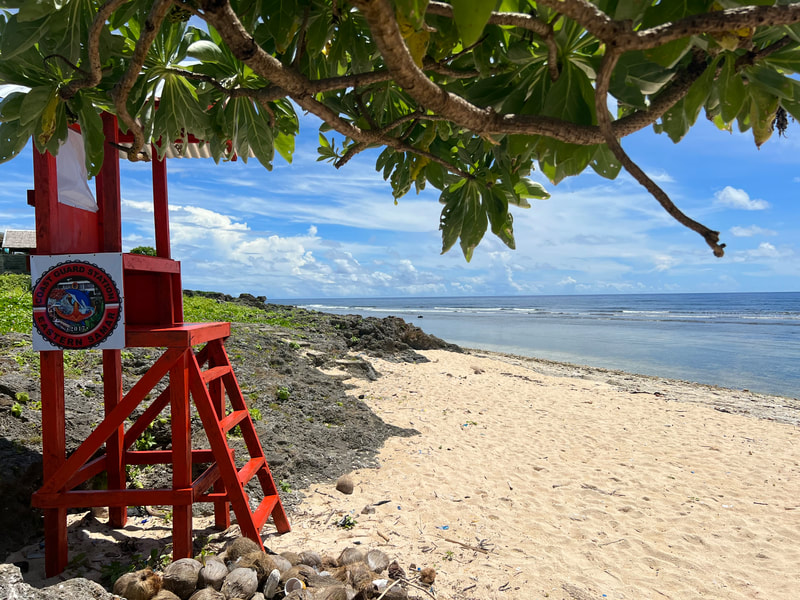
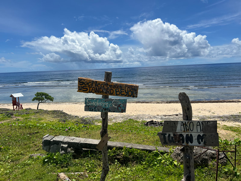
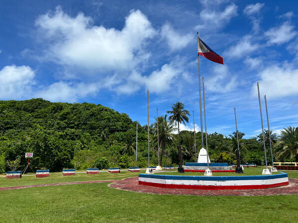
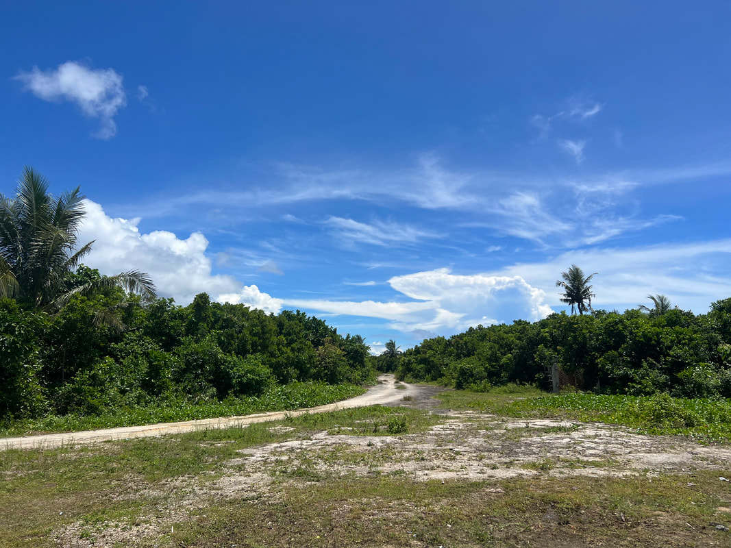
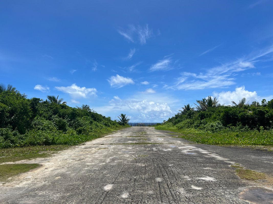
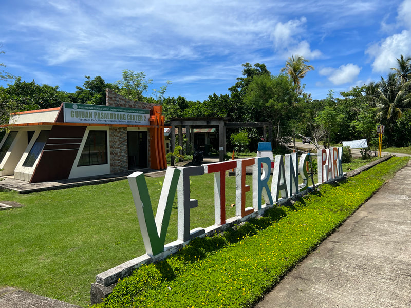
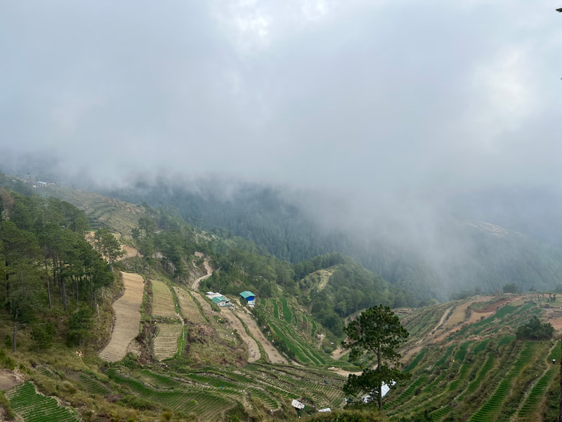
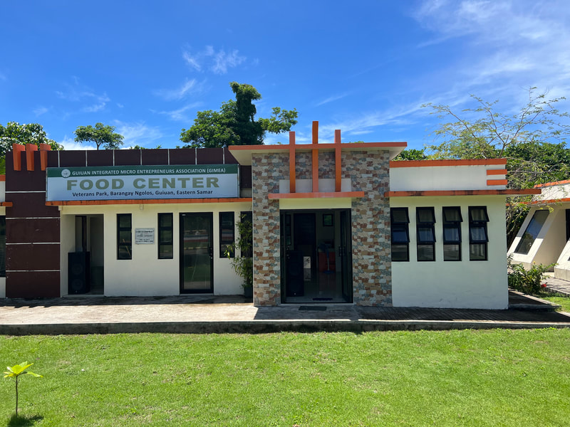
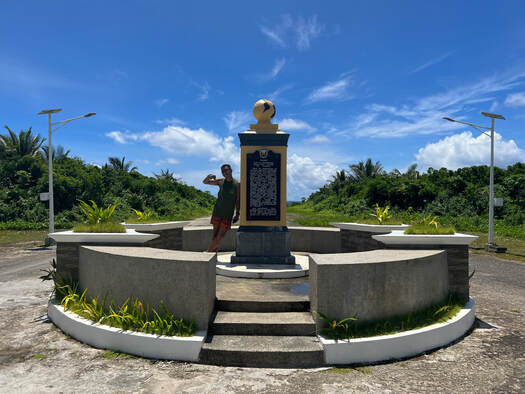
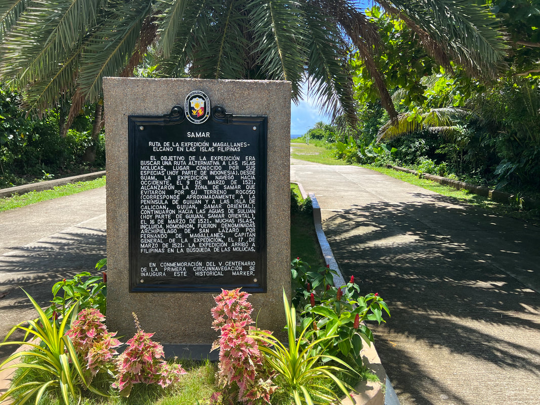
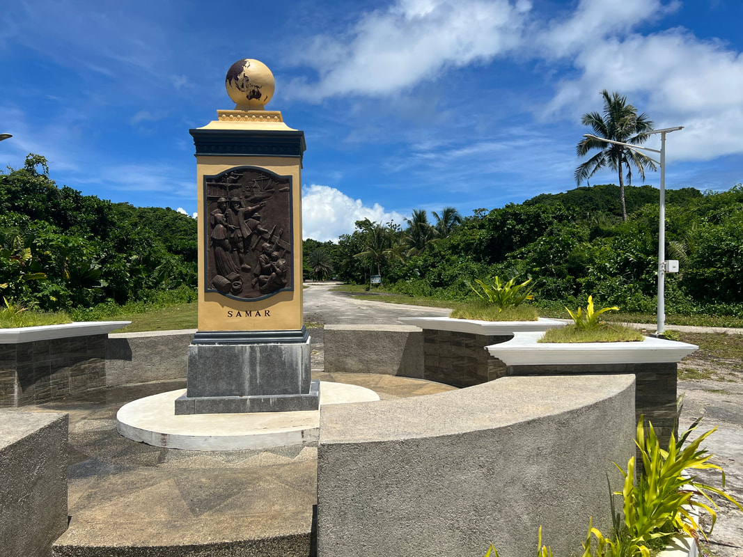
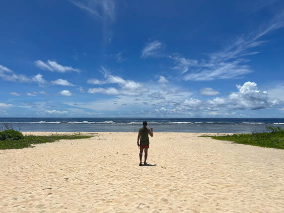
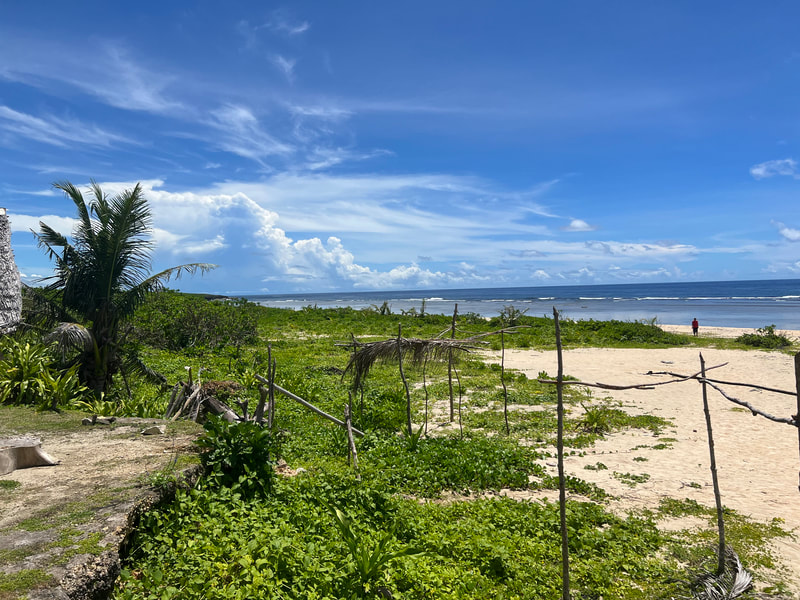
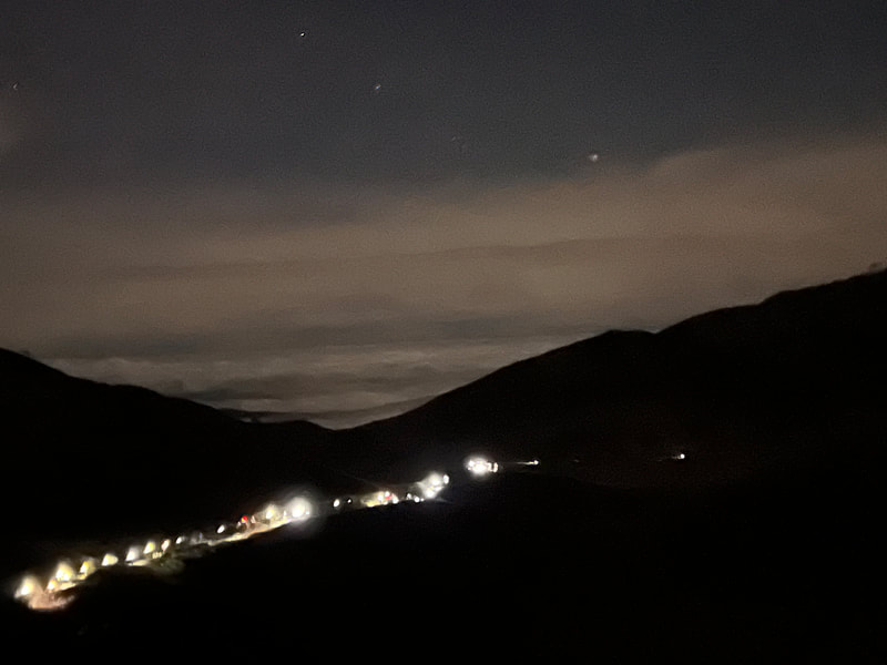
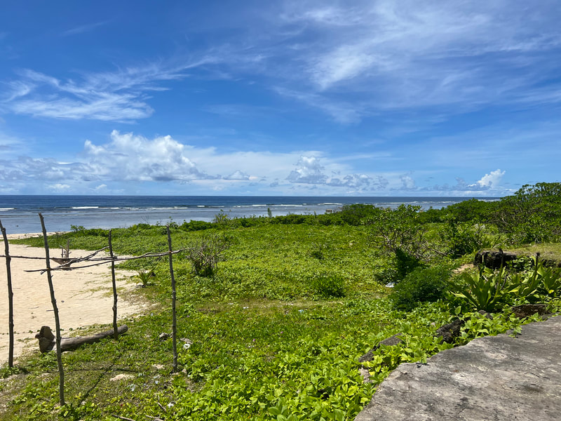
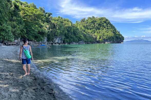


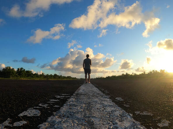
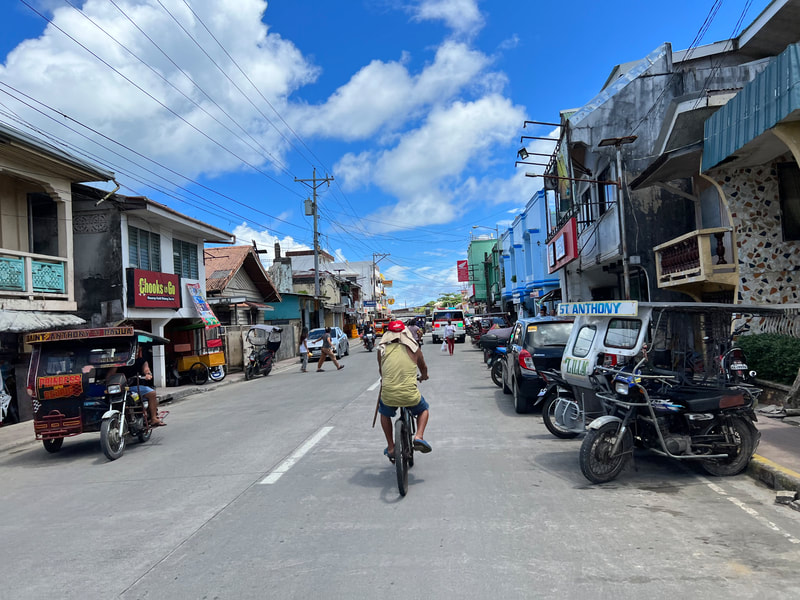
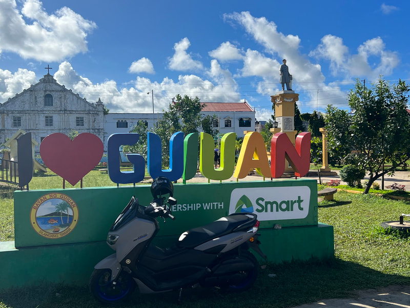
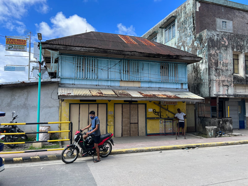
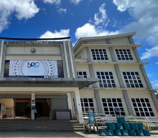
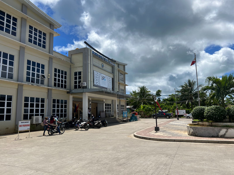
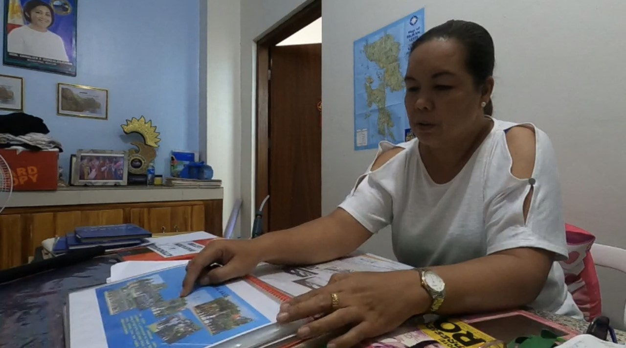
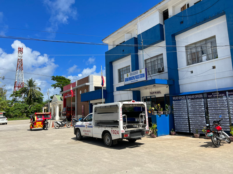
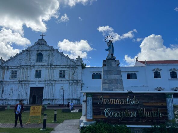
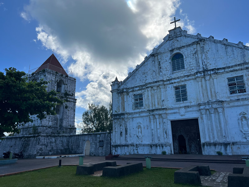
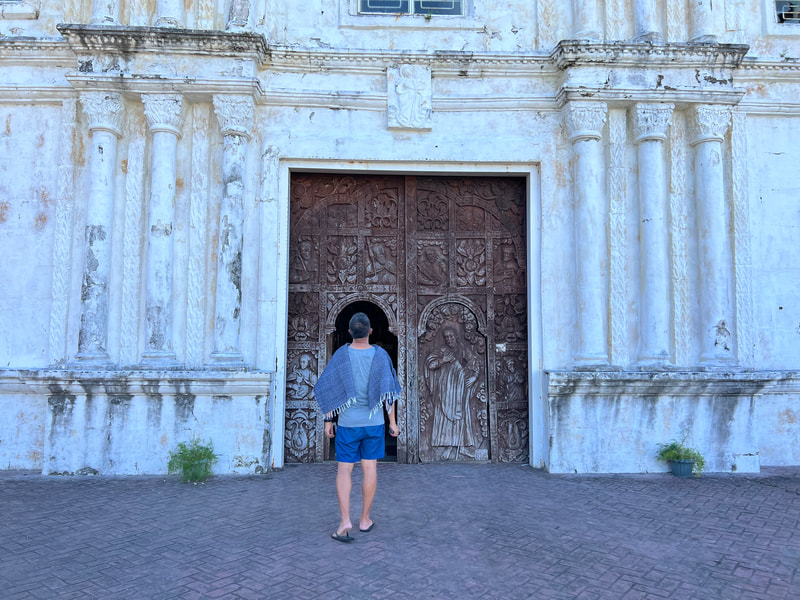
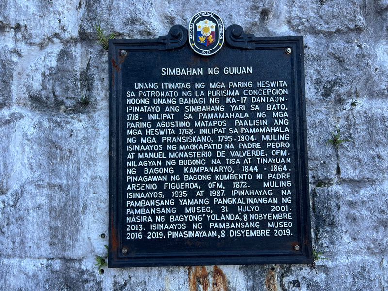
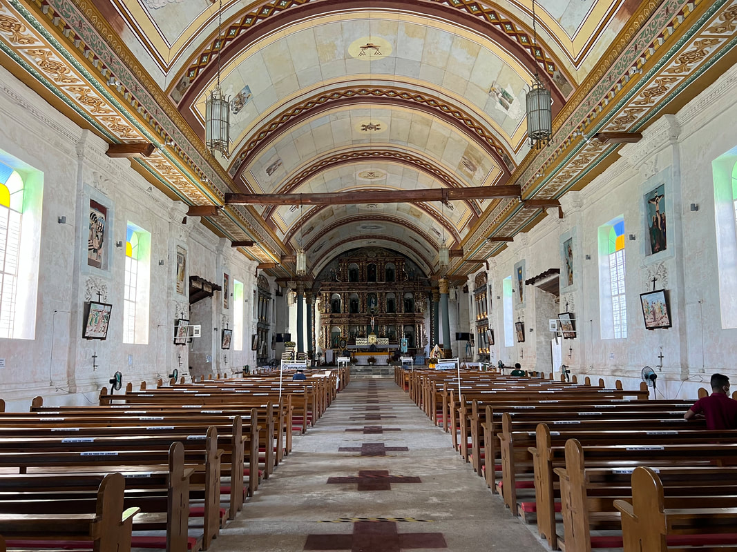
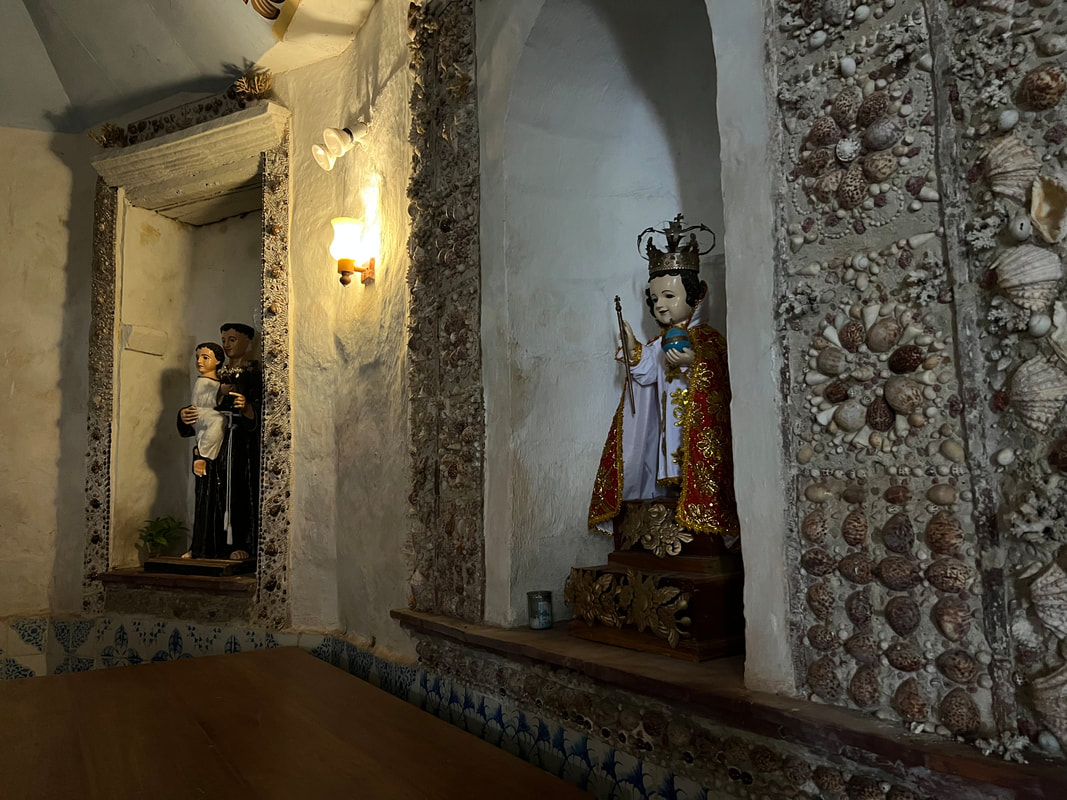

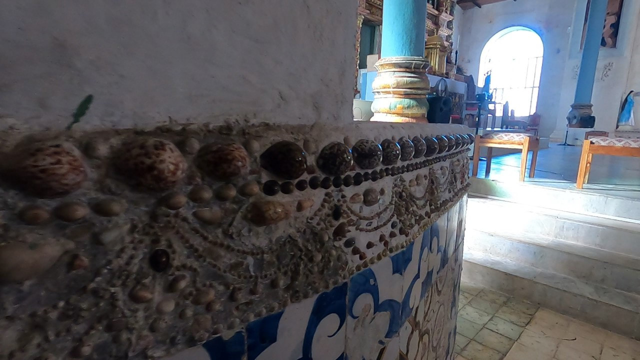
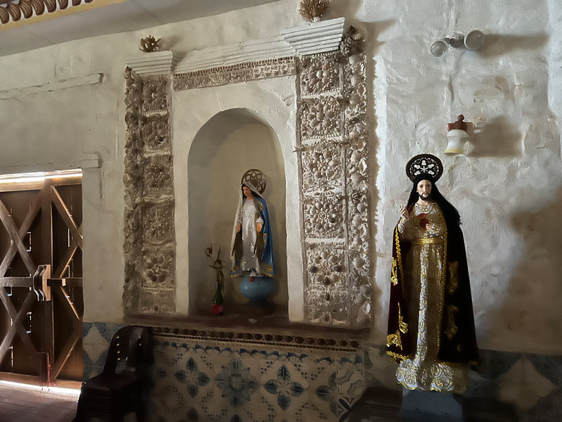
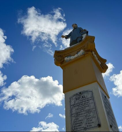
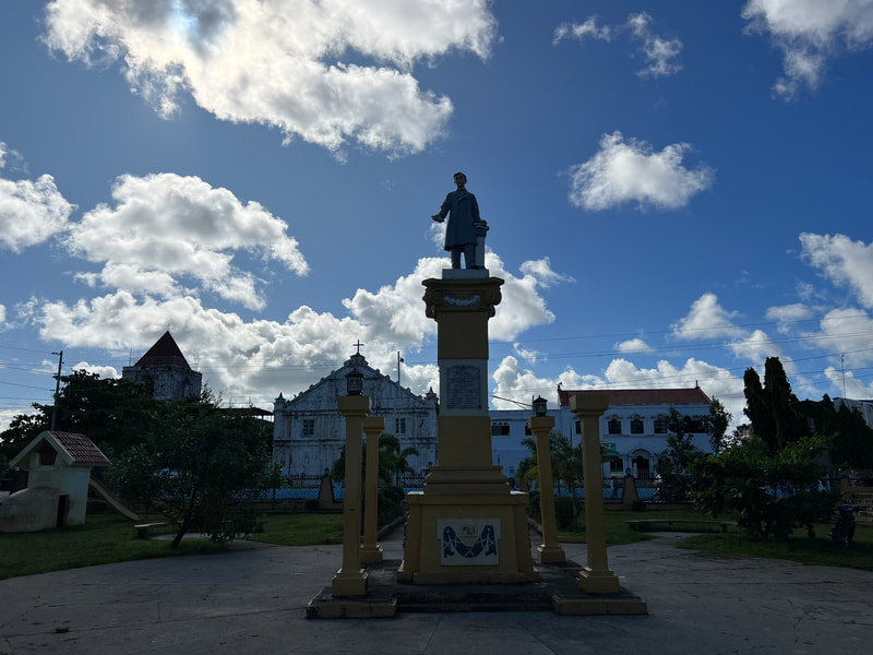
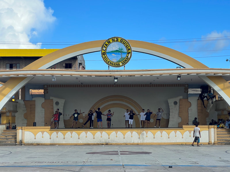
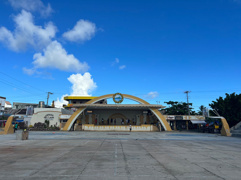
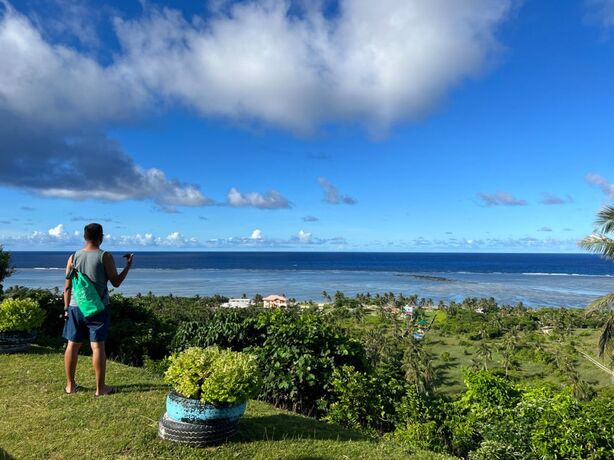
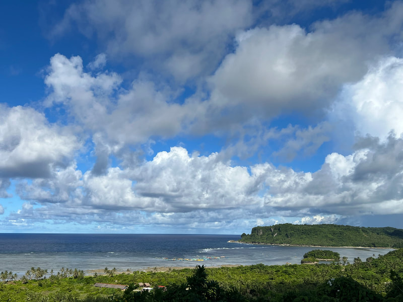
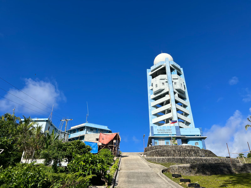
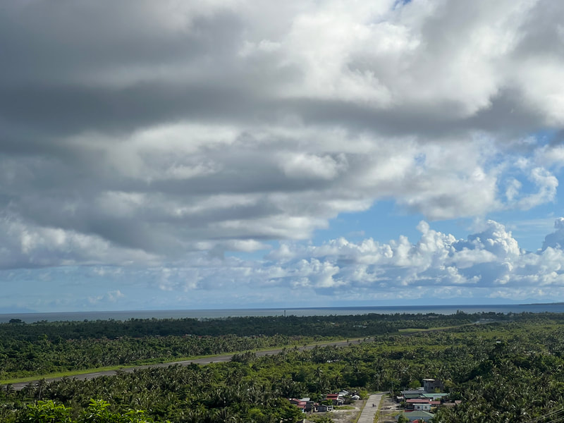

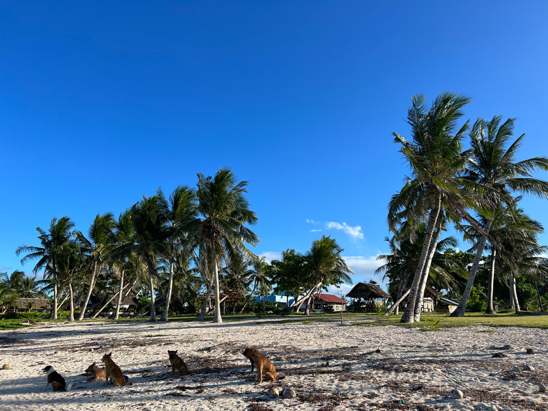
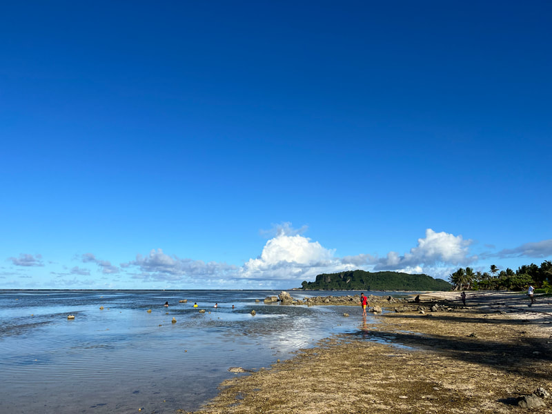
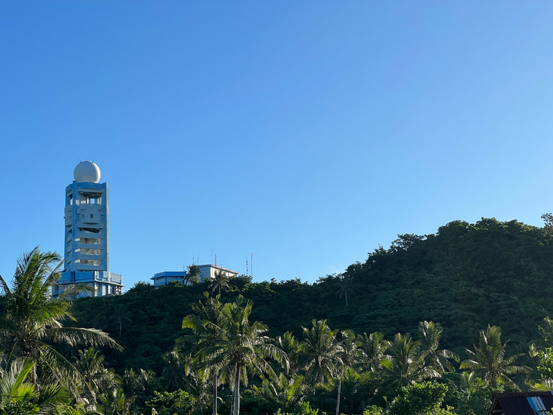
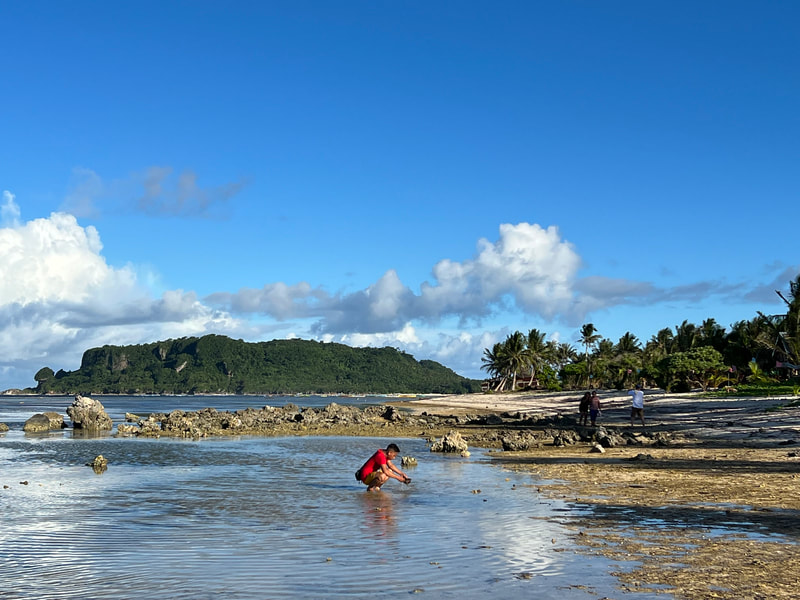
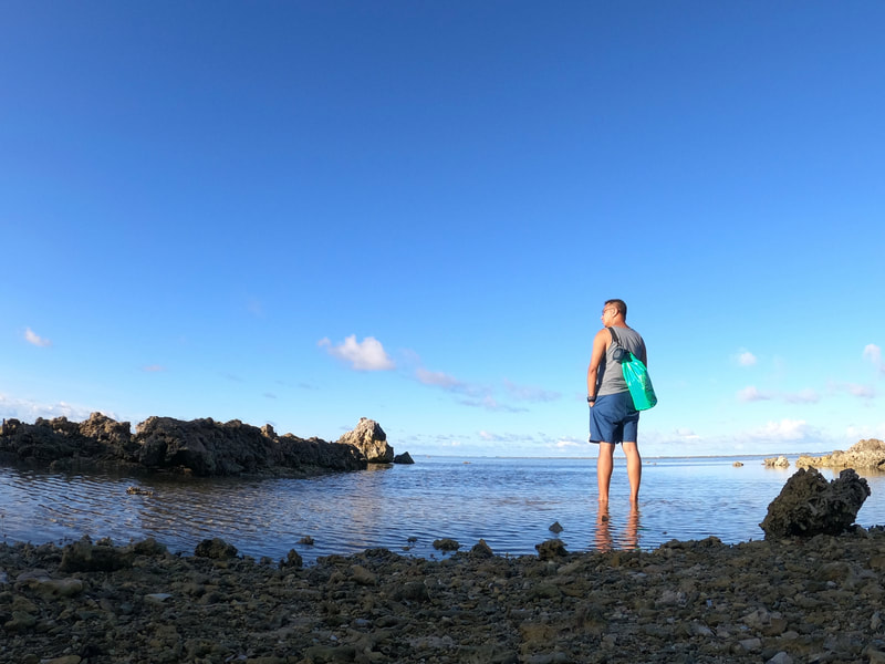
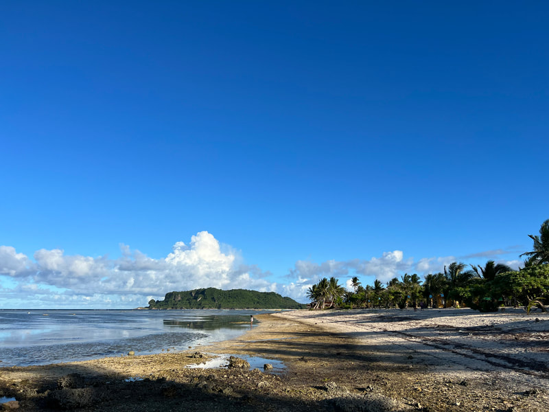
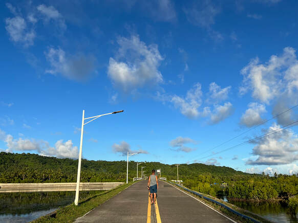
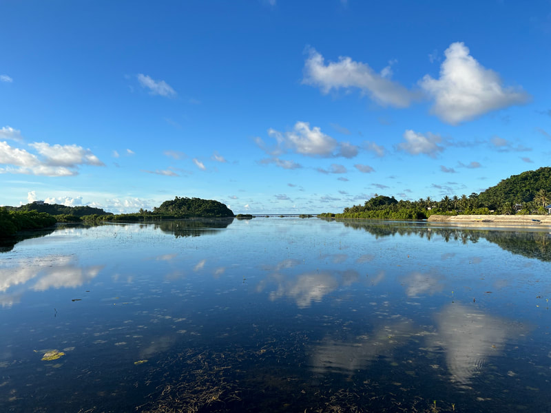
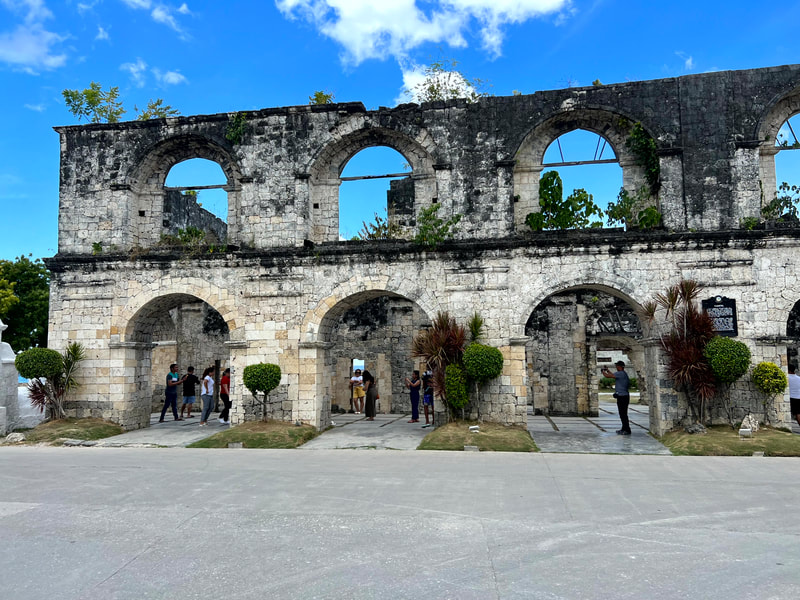
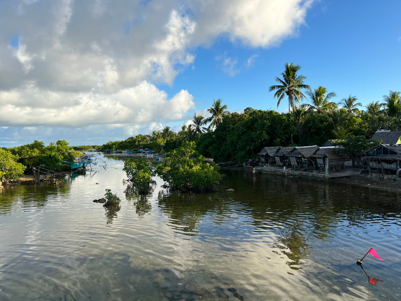
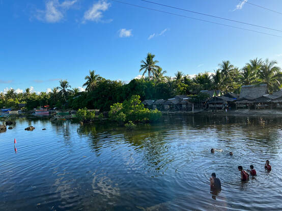
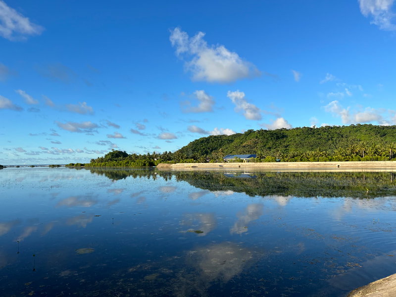
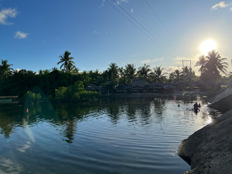
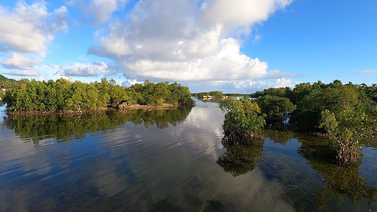
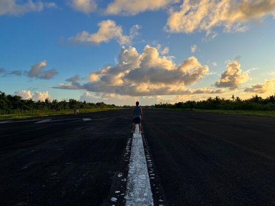
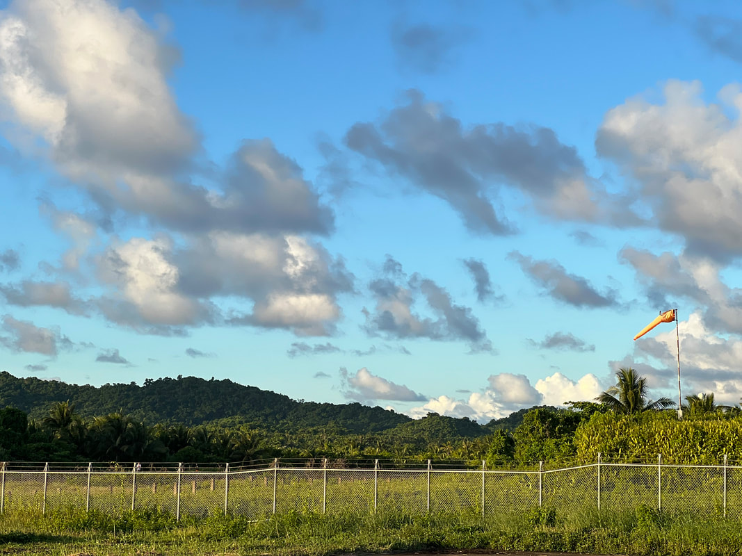
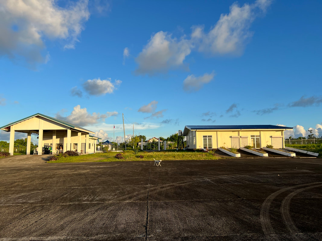
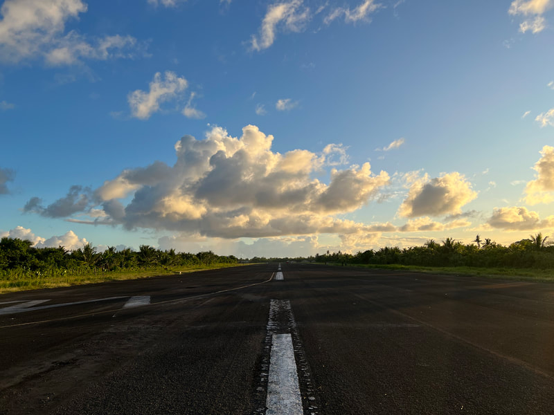
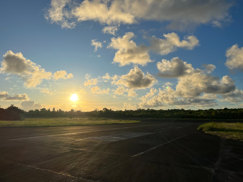
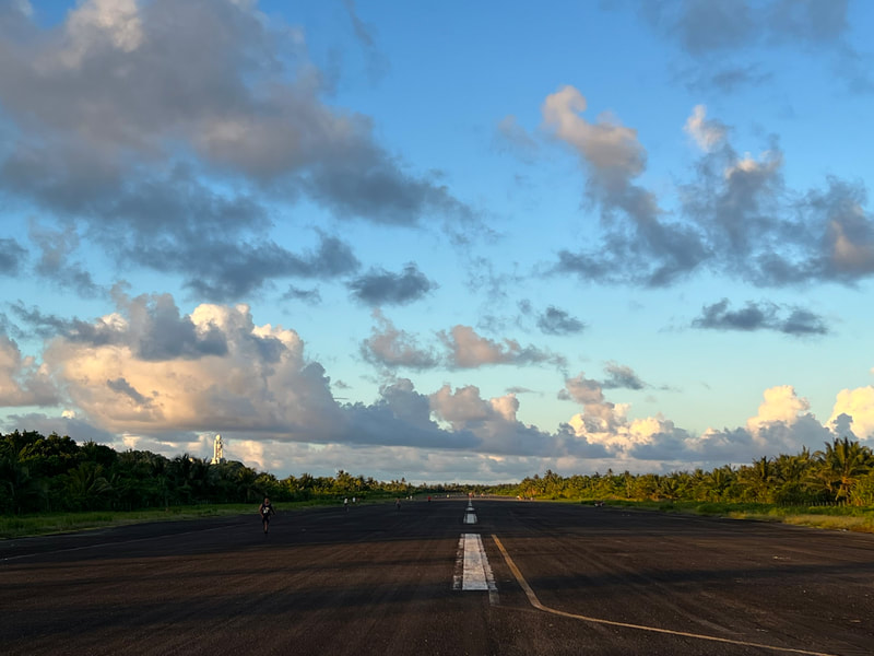


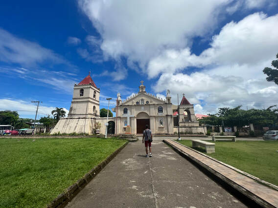
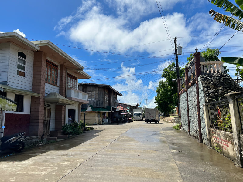
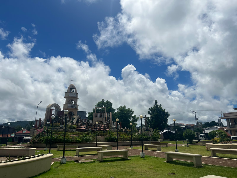
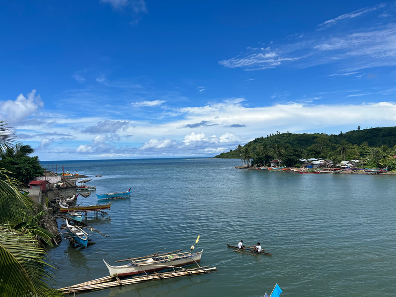
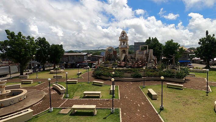
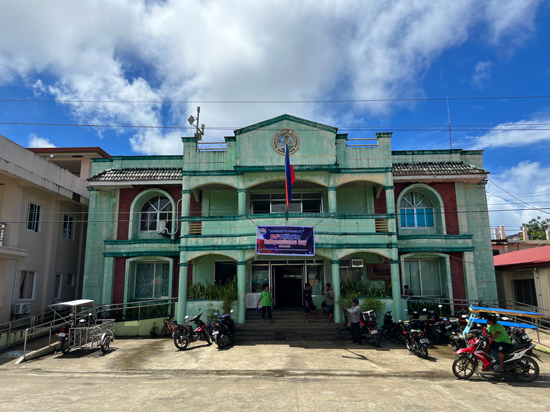
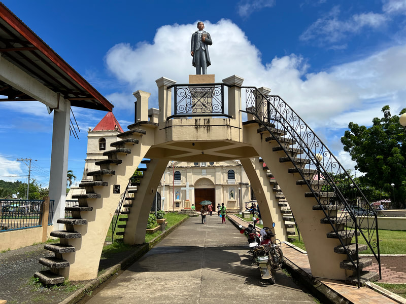
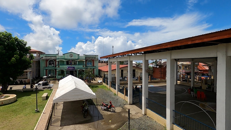
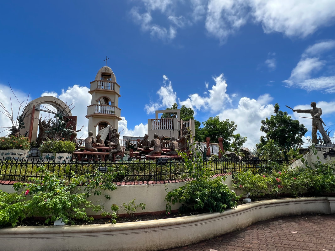
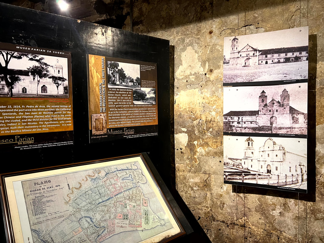
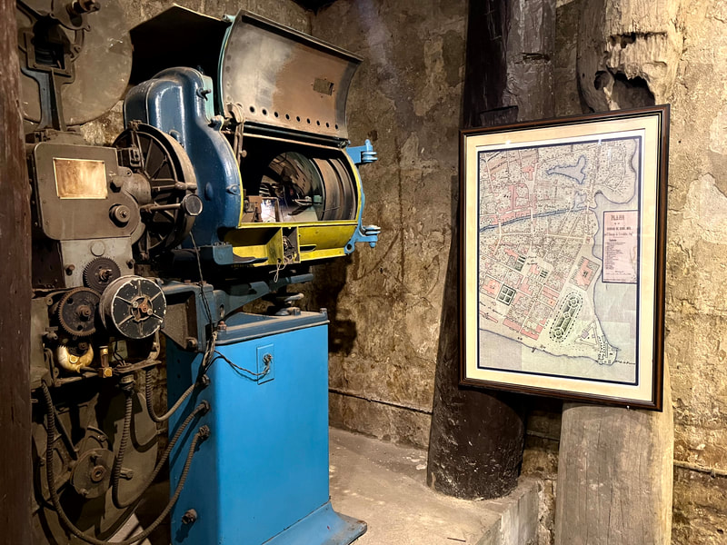
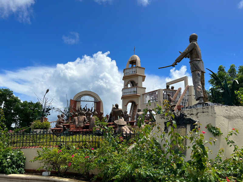
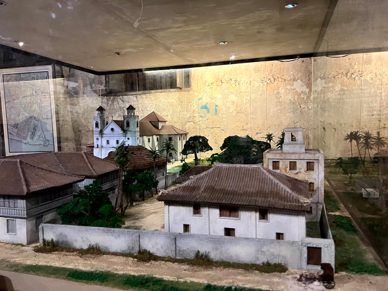
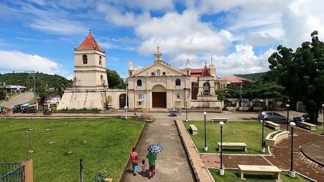
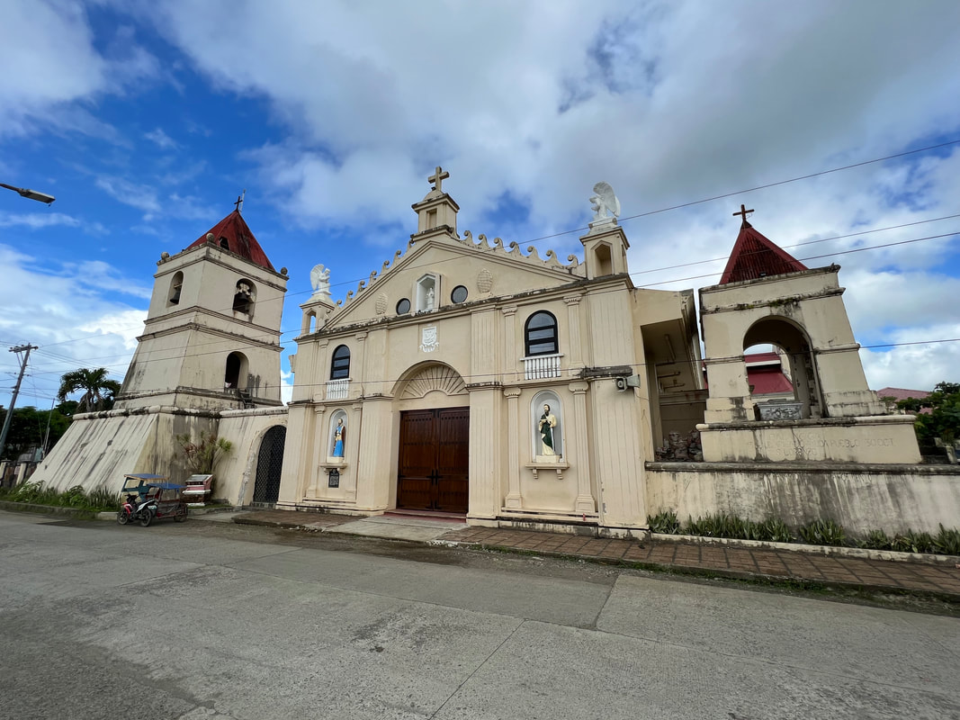
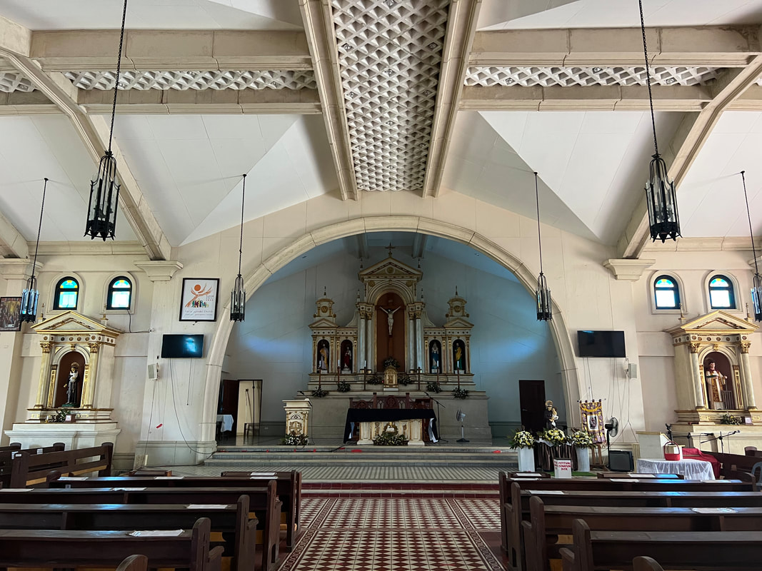
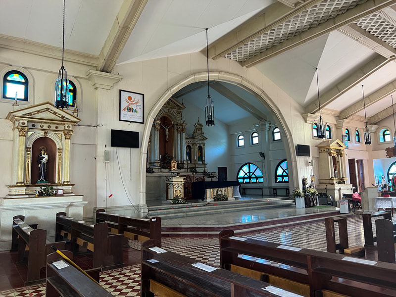
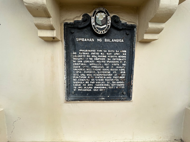
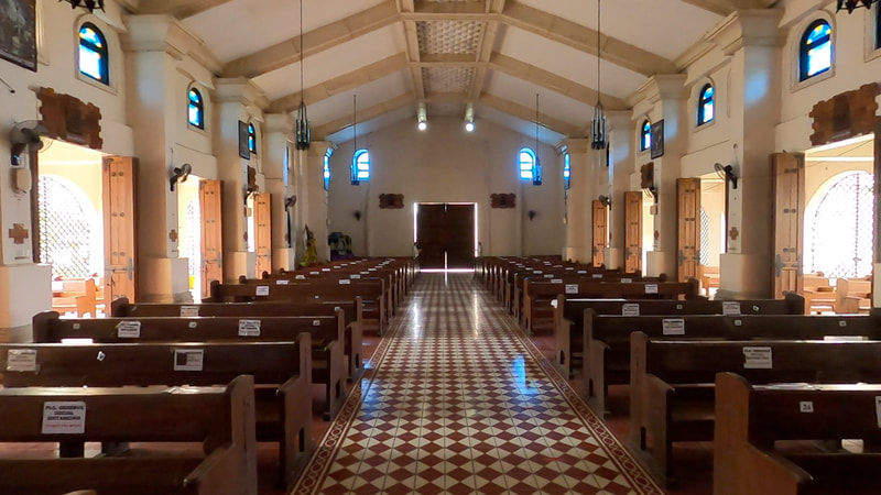
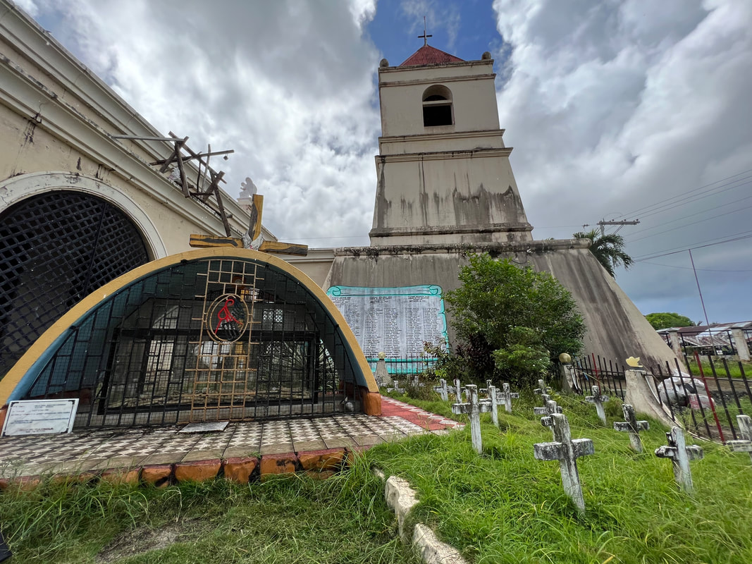
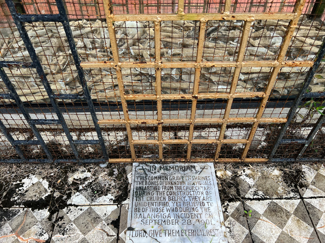
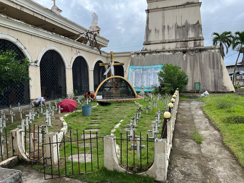

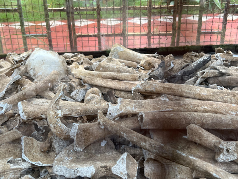
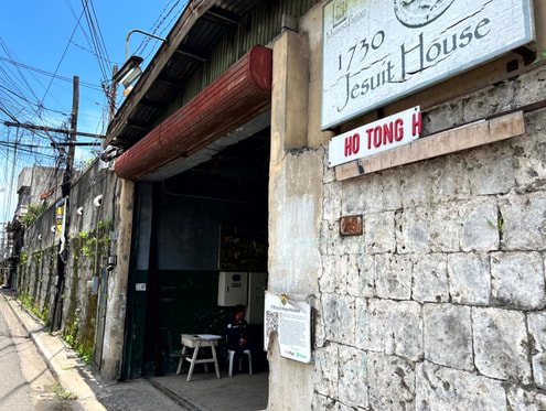
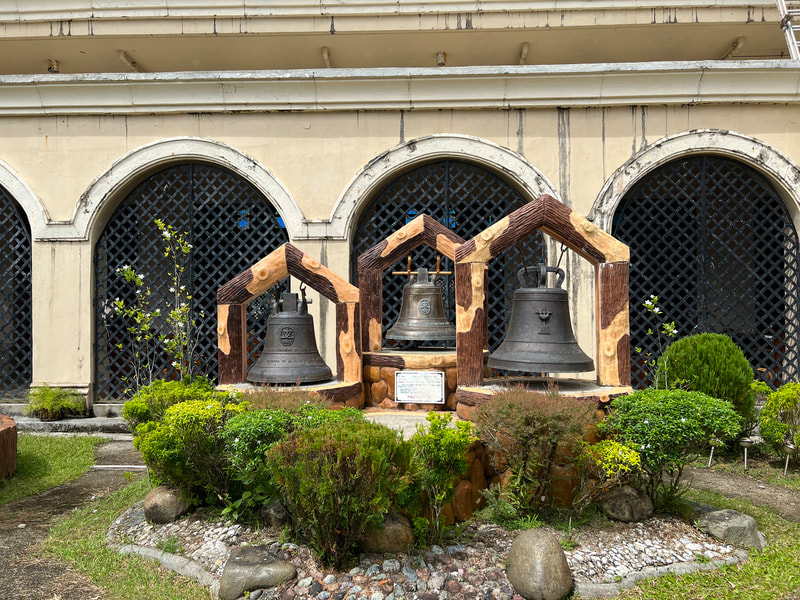
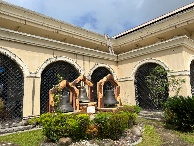
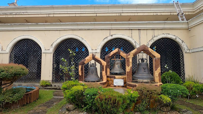
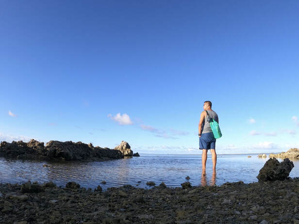


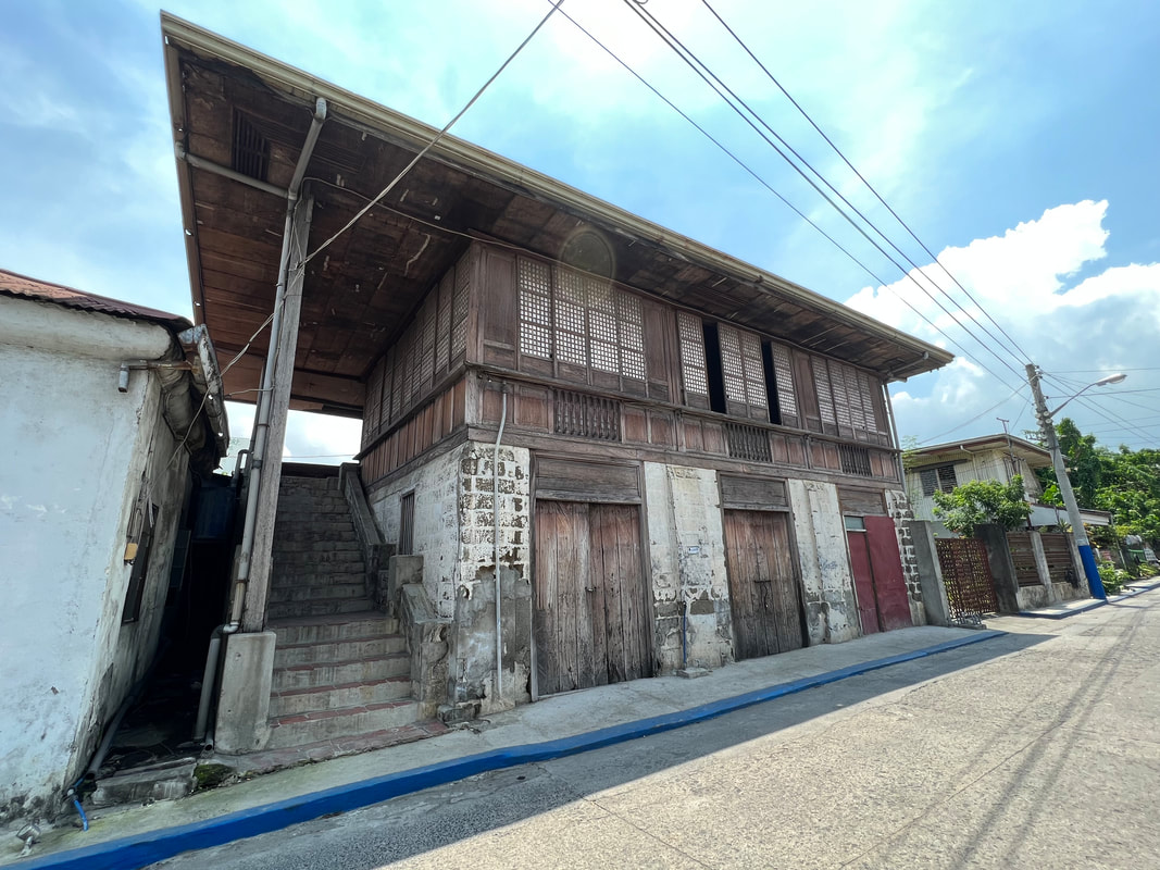
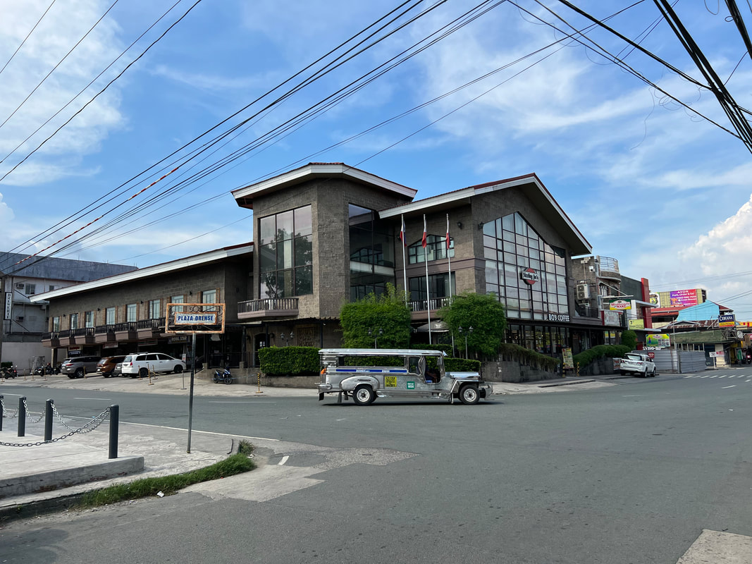
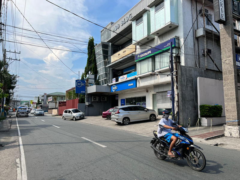
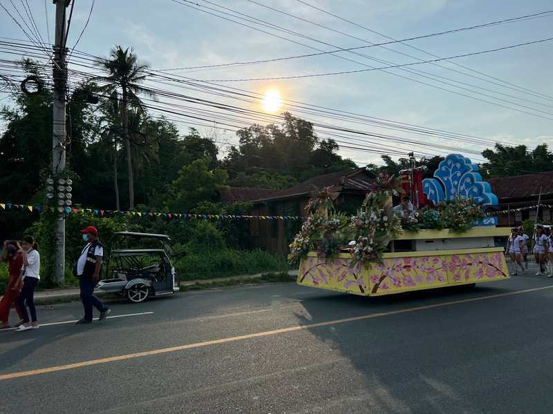
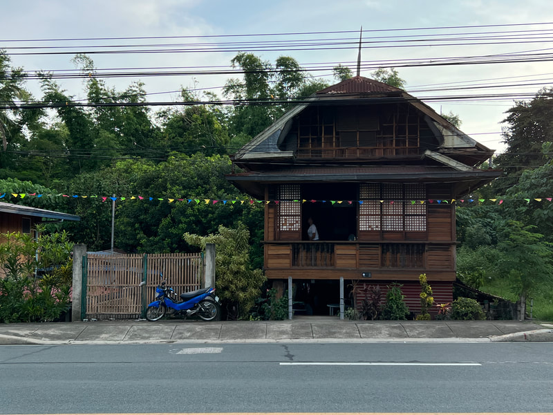
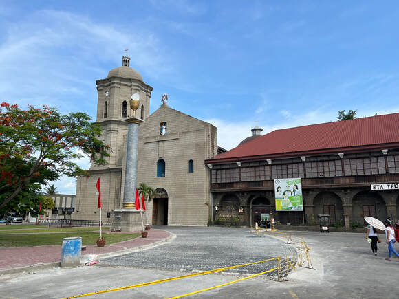
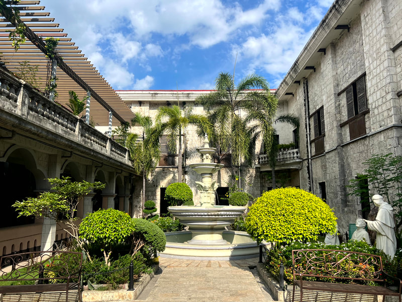
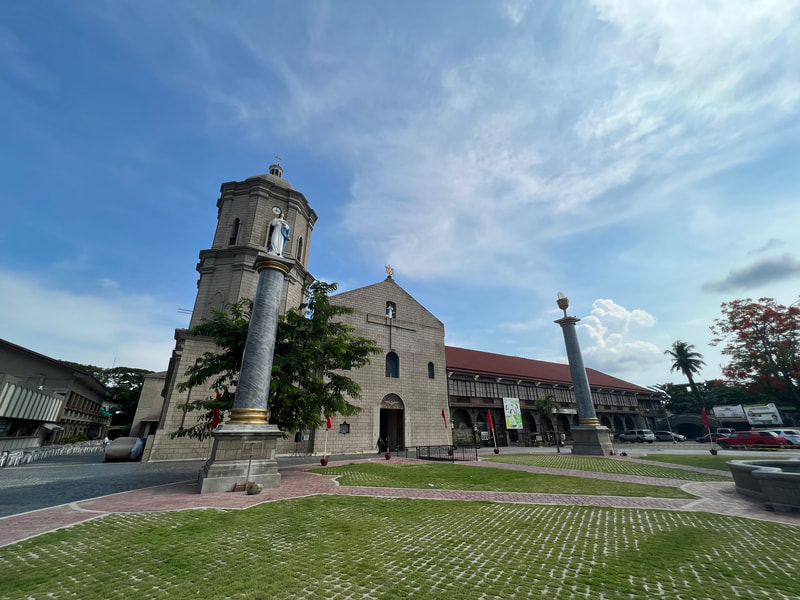
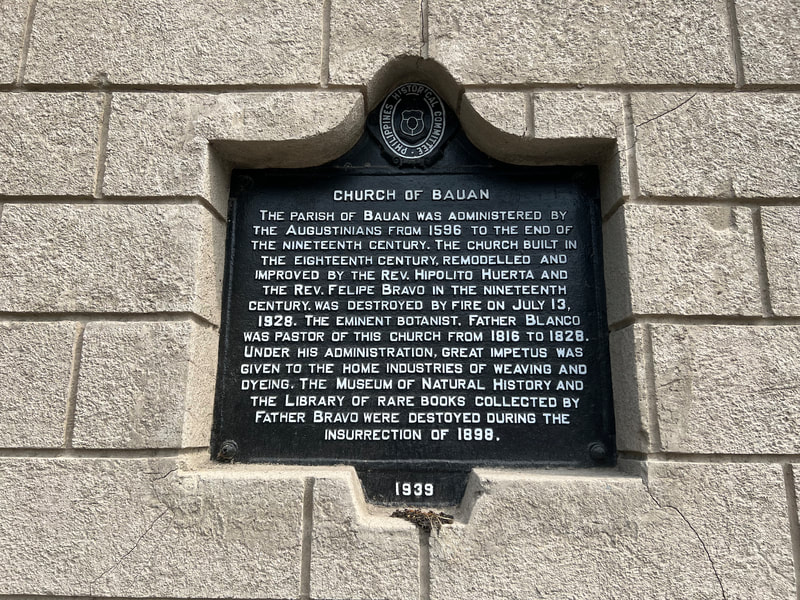

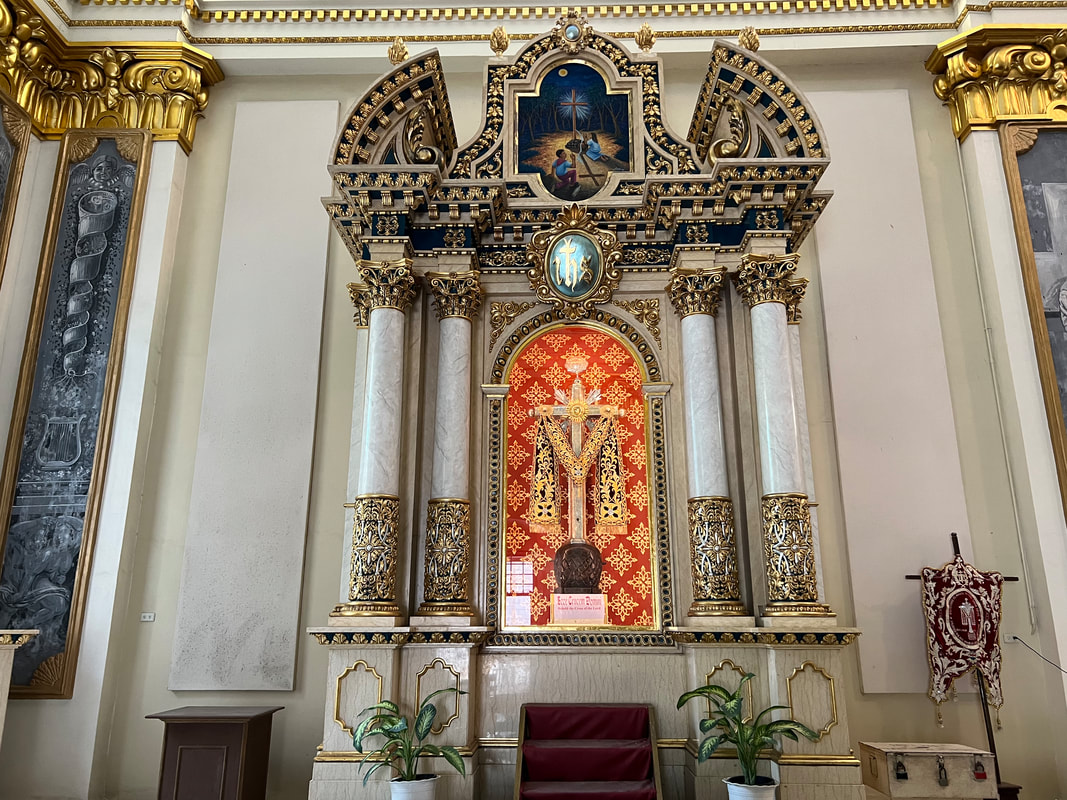
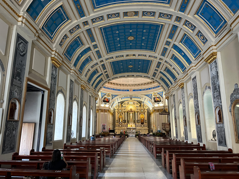
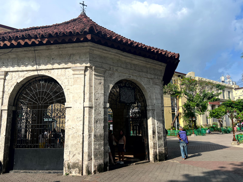

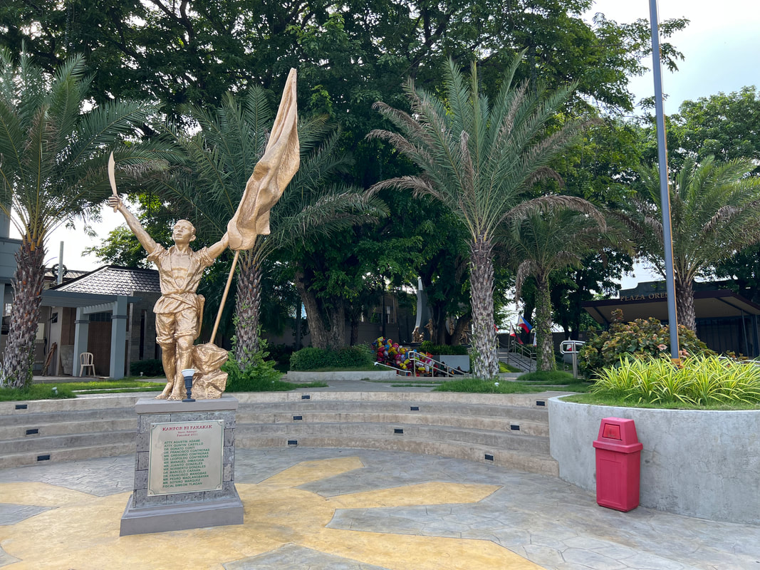
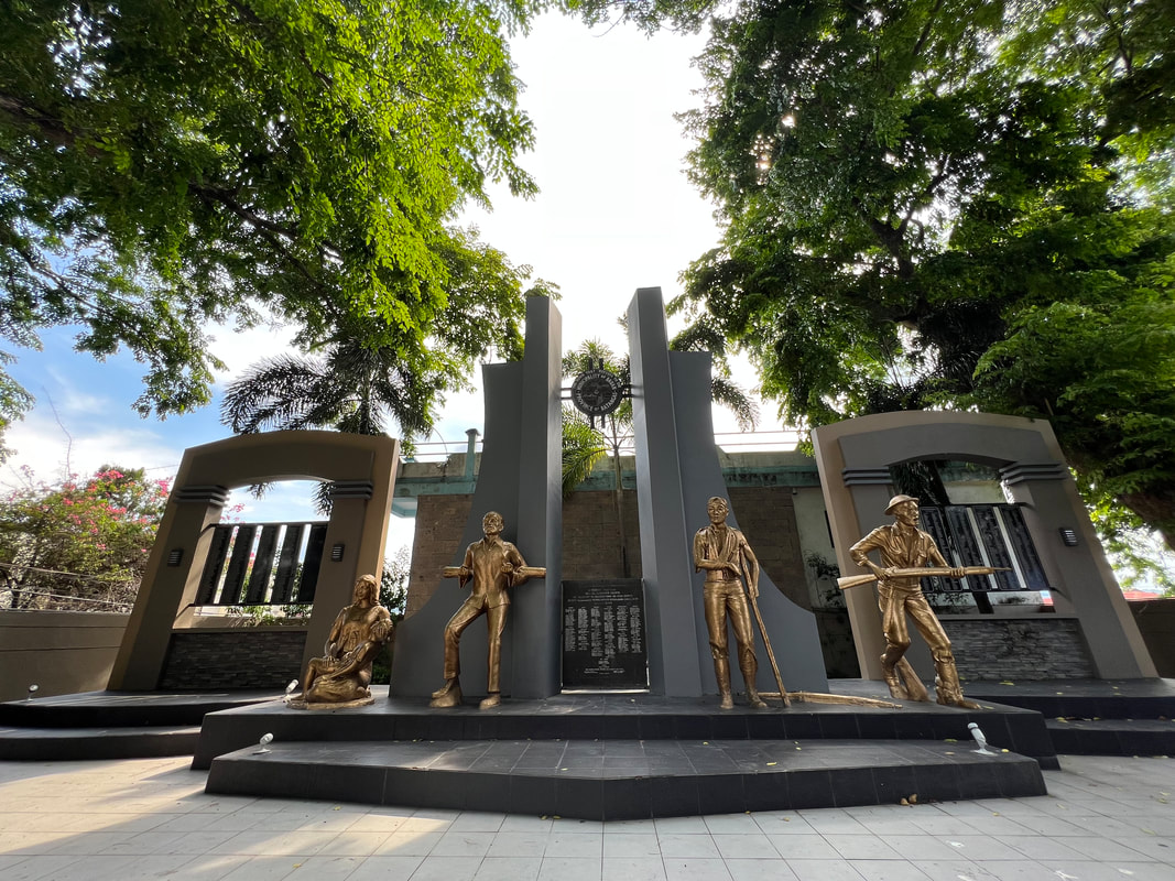
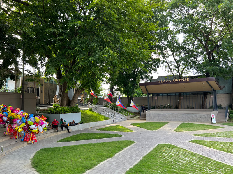
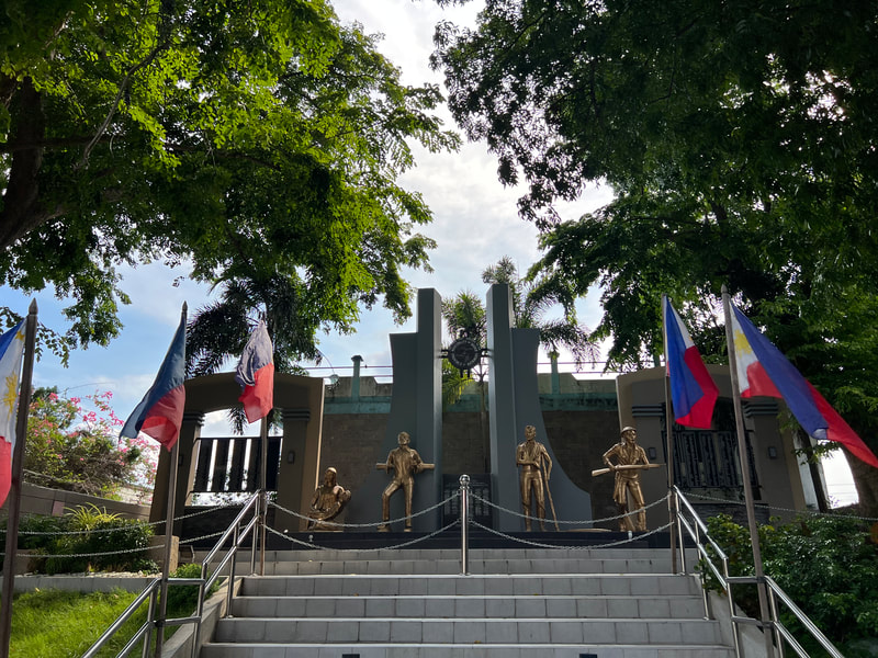
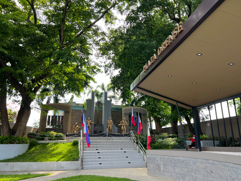
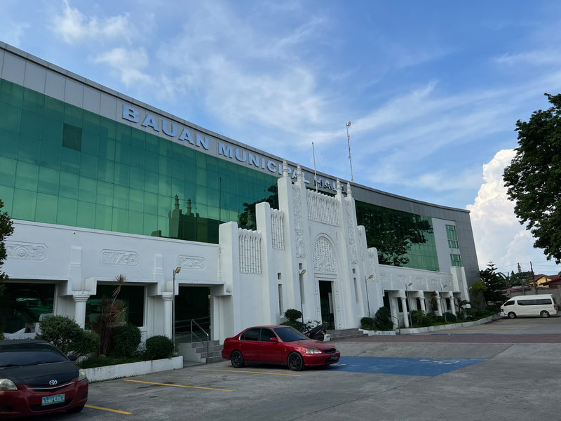
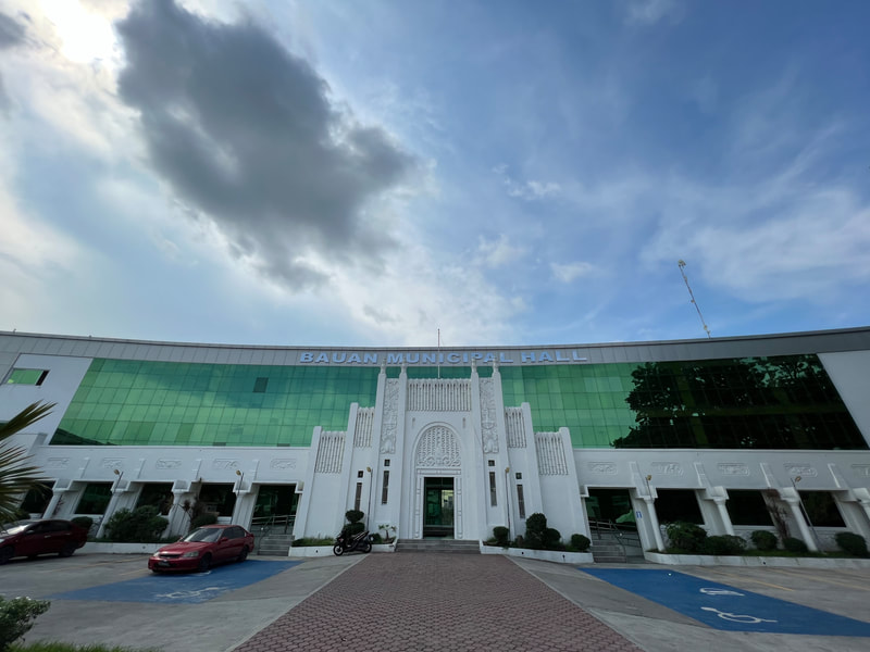
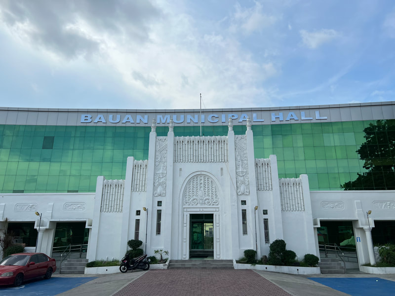
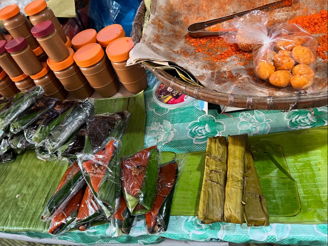
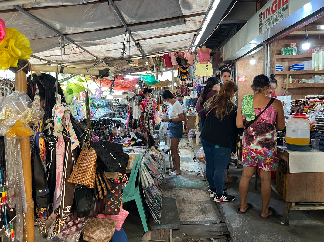
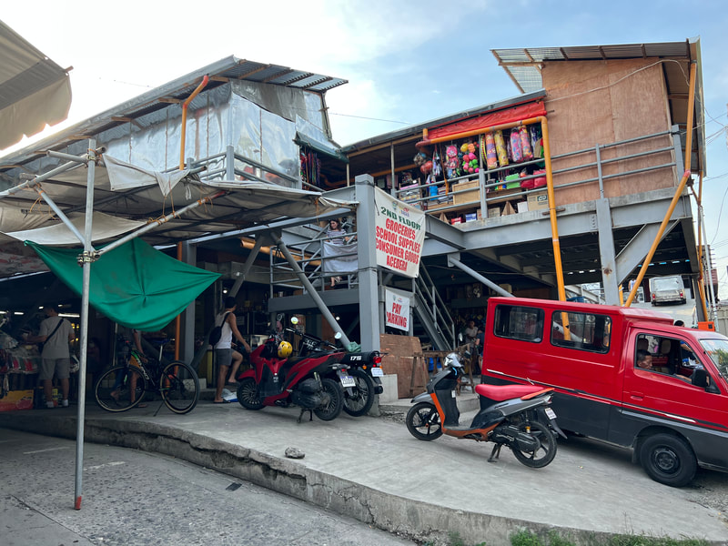
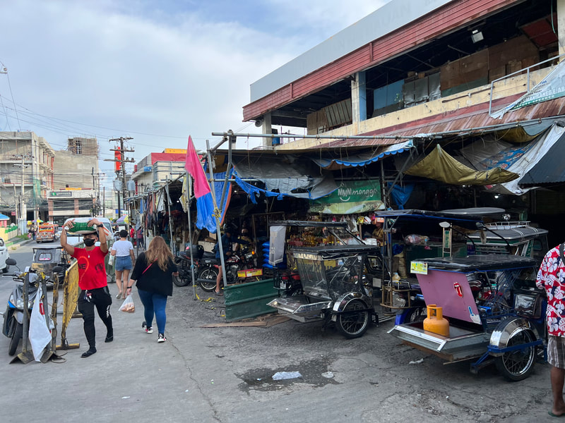
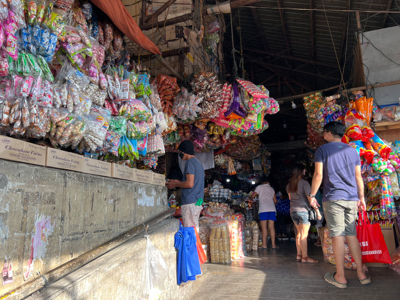
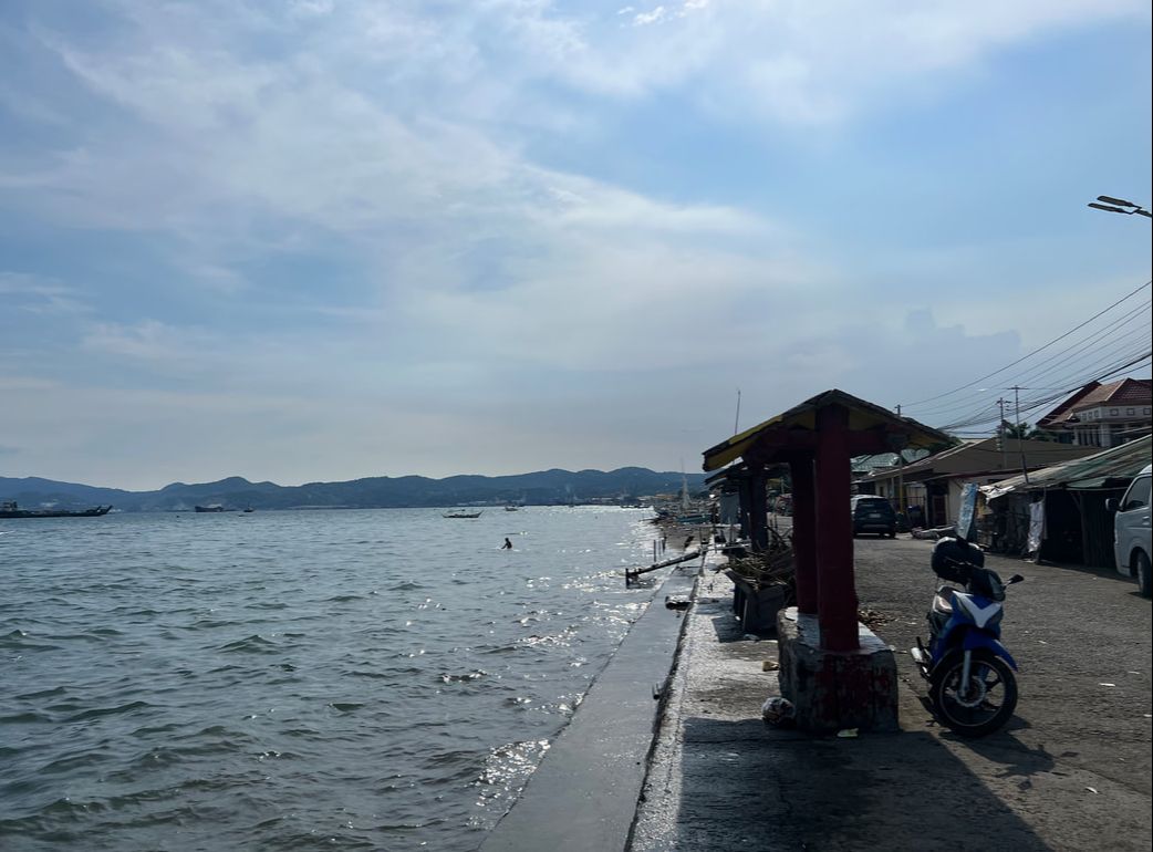
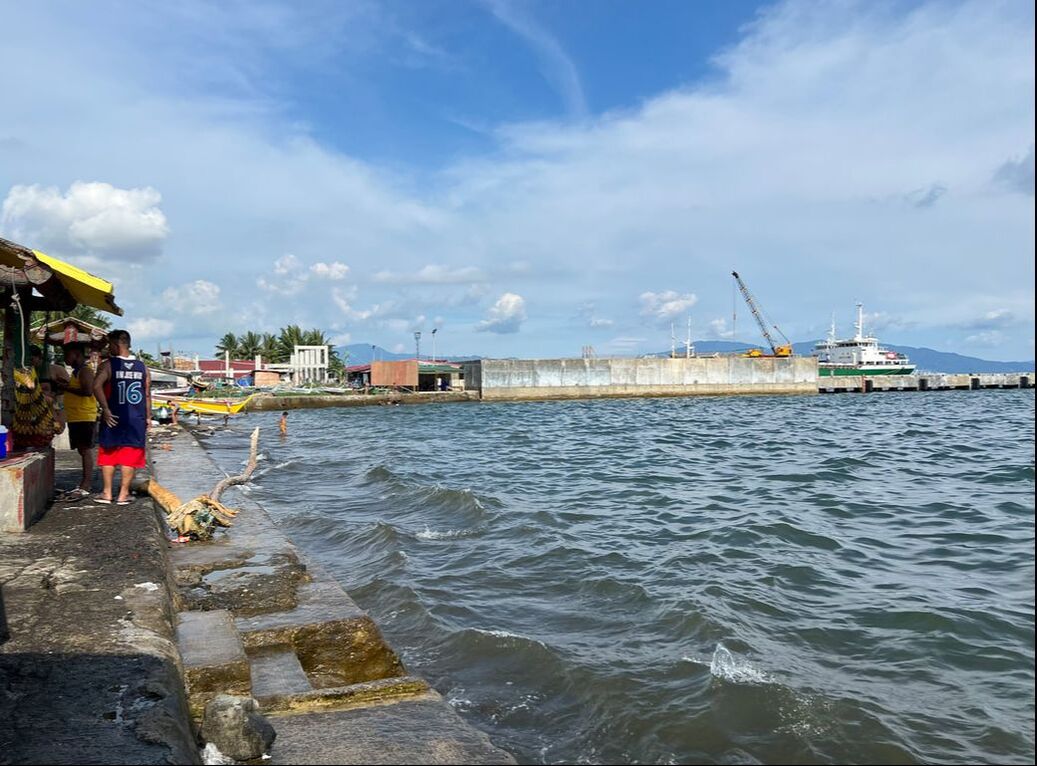
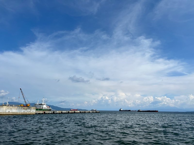
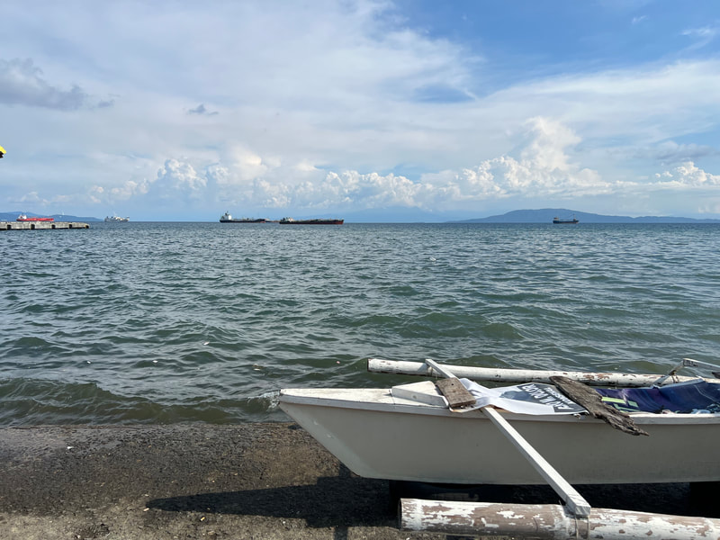
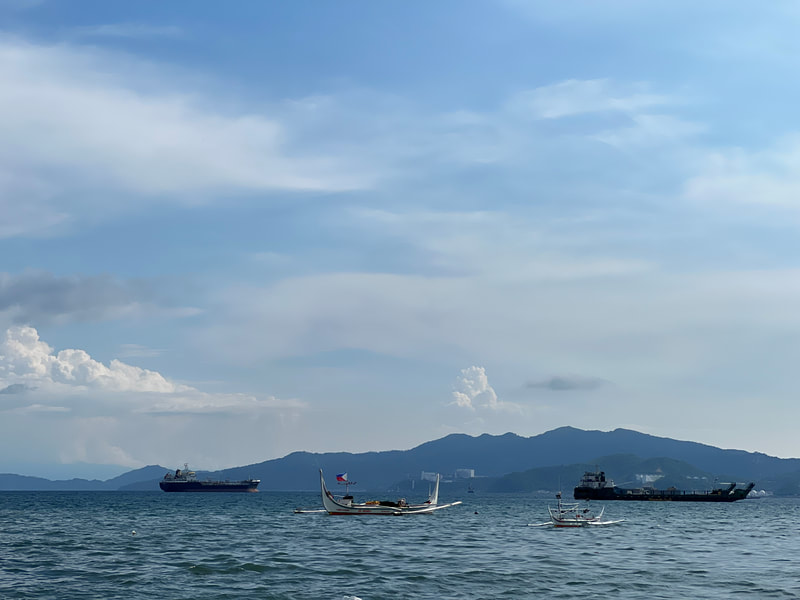
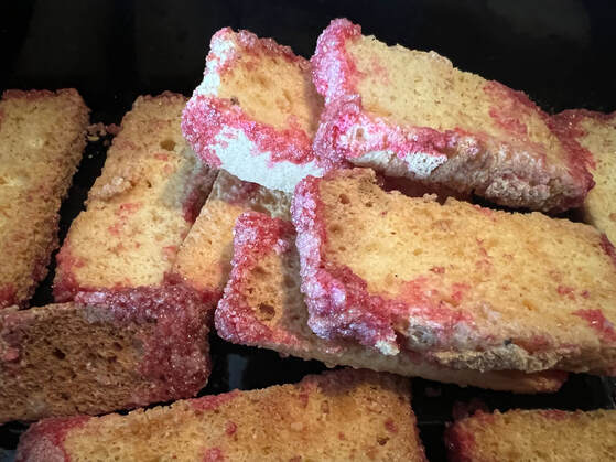
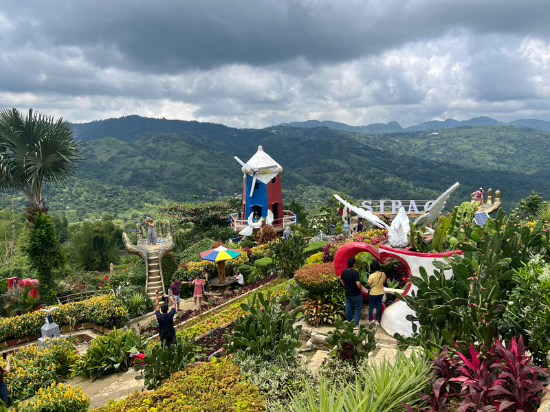
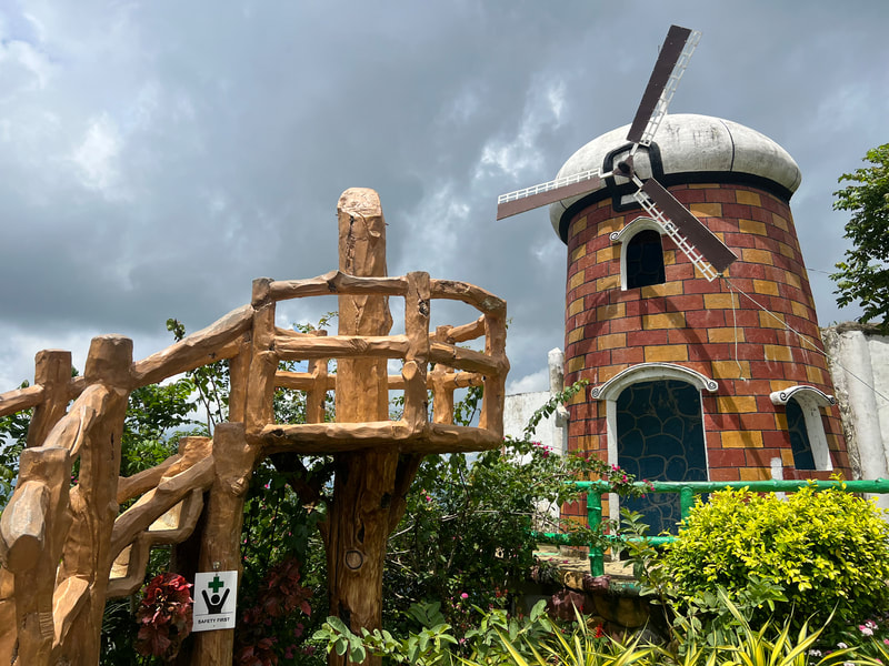
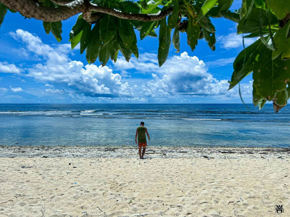


 RSS Feed