|
I have got to admit that this city was crucial in making me realize that Filipinos deserve more. The events that happened after it was hit by Super-typhoon Yolanda became a turning point in my politics. I saw, as an outsider, how the city and the region was forced to its knees and slowly recovered from the ruins of a disaster despite the mismanagement of the national government. This is Tacloban City - ang lugar na noon pa man ay nag-iwan ng tatak sa akin. 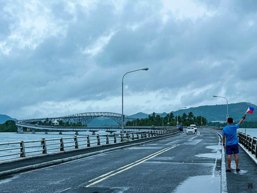 Tacloban City made its mark on me prior to me stepping on its soil. Tumatak! First called as Kankabatok, Tacloban City is the center of governance and commerce in Leyte. It is believed that the city was installed in 1770s with its name derived from the local word “tarakluban”, which means using a bamboo contraption called “taklub” to catch crabs, fish, and shrimps. The area of Leyte was crucial during the liberation of the Philippines in World War 2. It was in Leyte where Douglas McArthur fulfilled his promise “I shall return” to the Philippines. The city served as the country’s capital from October 1944 to February 1945. The highly urbanized city is now home to 250,000 residents making it the most populous area in the region. It serves as the main gateway to Eastern Visayas and to the many tourist attractions in the region. Let us go around the city and learn more about its history and its urban beauty. Taralet… San Juanico Bridge The San Juanico Bridge is THE tourism icon of Tacloban City. The 2.16km bridge, a project under the administration of former President Marcos Sr, connected the provinces of Samar and Leyte. Prior to the opening of the Cebu-Cordova Bridge, the San Juanico Bridge was the longest bridge that spanned a body of water in the country. 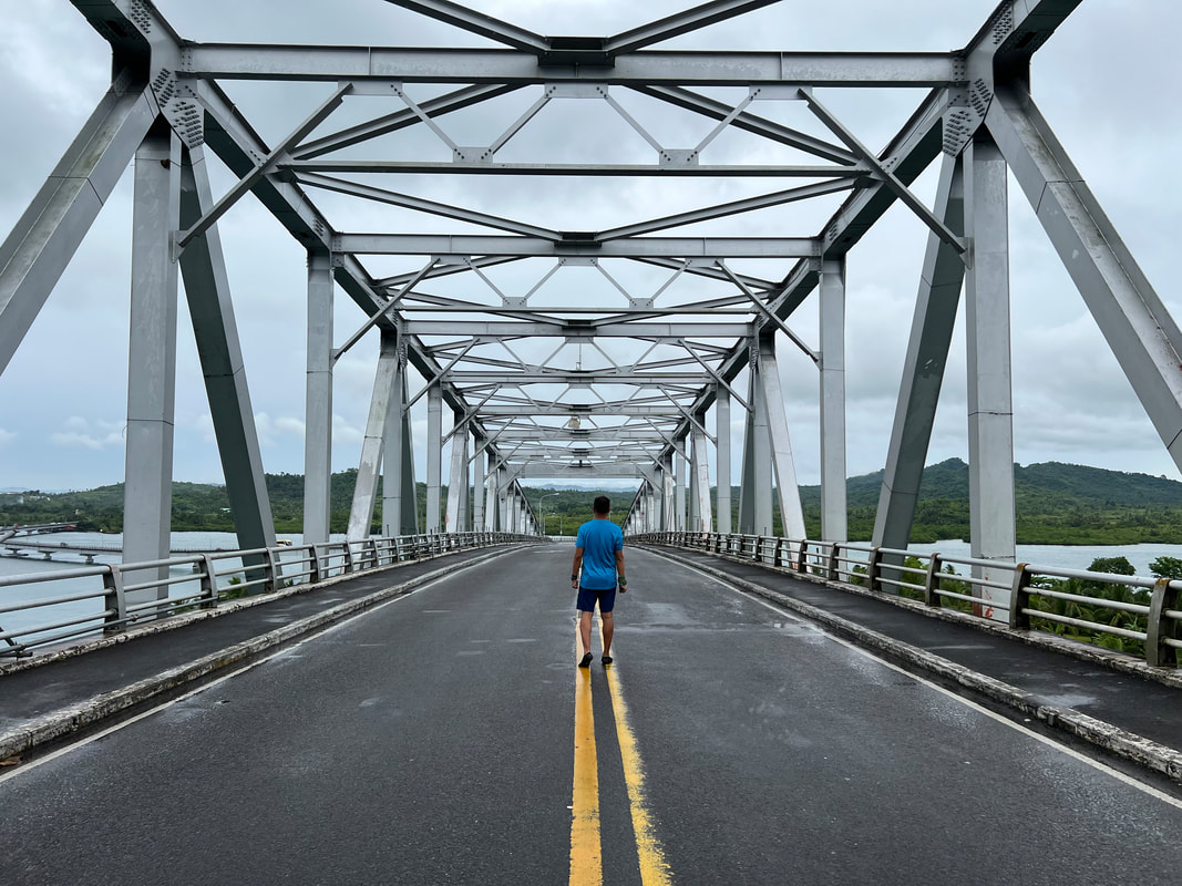 Making my way across the San Juanico Bridge - the 2nd longest bridge in the country. The bridge is part of the Pan-Philippines Highway or more commonly known as Maharlika Highway. Completed in 1973, the bridge spans the San Juanico Strait, connecting Tacloban City in Leyte and Sta. Rita in Samar. It serves as a vital road network that helped spark economic development in both provinces. The bridge serves more than just a vital infrastructure but also as a symbol of unity. The marker, located at the foot of the bridge, shares the symbolism that the San Juanico Bridge carries. It stands for the unity of the north and the south as one nation.
Of course, I couldn’t miss on the opportunity for a quick joyride on the bridge. I rode a tricycle to get me across to Sta. Rita and then back to Tacloban. We made a few stops along the way to get panoramic pictures of the bridge. Take extra precaution when doing so as it is still a highway over the San Juanico Strait. It was a thrill to finally get to see in person an amazing infrastructure project that has left a legacy to Filipinos. MV Eva Jocelyn Shrine If the San Juanico Bridge was legacy from former President Marcos Sr., the MV Eva Jocelyn Shrine is a reminder of nature’s fury and an administration’s idiocy. The city was hit in full force by Typhoon Yolanda in November 2013. The super-typhoon flattened the city with its brute force and storm surges that left thousands dead. The force was so strong that the cargo vessel MV Eva Jocelyn was washed ashore. It was one of the 10 vessels that were swept ashore. 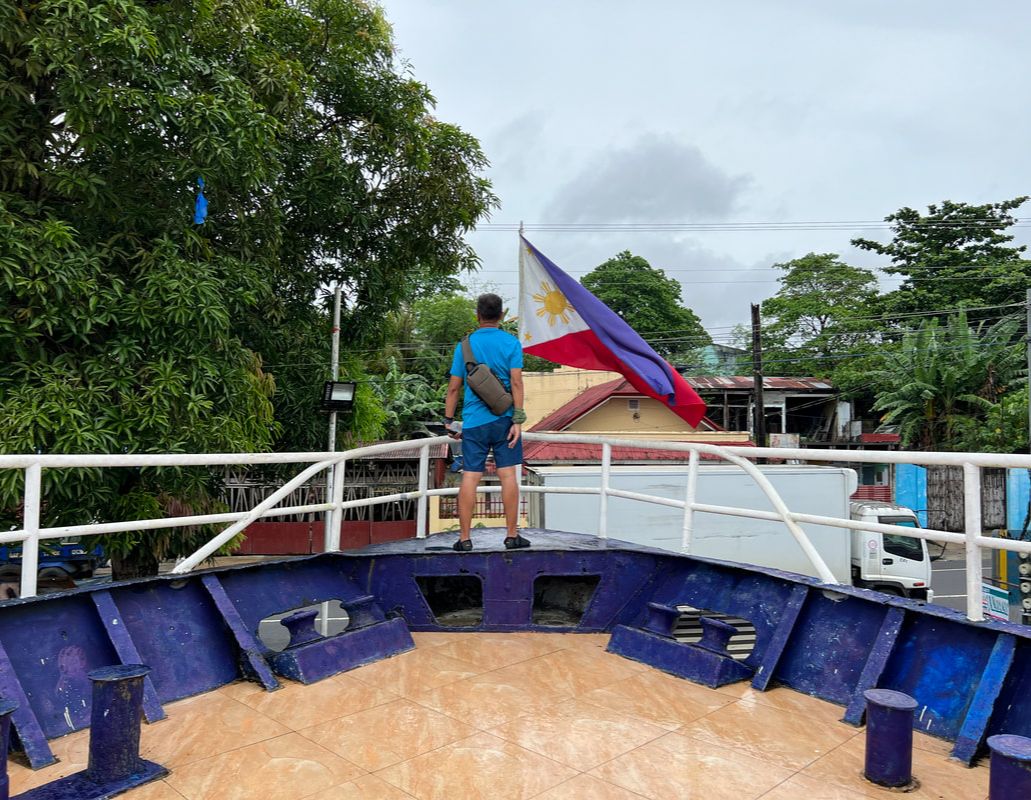 The Typhoon Yolanda calamity served as my eye opener that Filipinos deserve better. The bow of the ship now stands on the site where the vessel settled after the storm. It is one of the three memorials in the city that were set up in remembrance of the locals who died that fateful day. It also stands as a firm reminder that we are bound to lose more when we put idiots in power. Calvary Hill Overlooking Tacloban City, Calvary Hill offers a perfect view of the city and its surrounding areas. Locals flock to the hill during the Lenten Season as part of their penance as they climb the concrete steps to visit the 14 life-size Stations of the Cross that were installed here. At the top of the hill, is an image of the Risen Christ extending his hands towards the city. 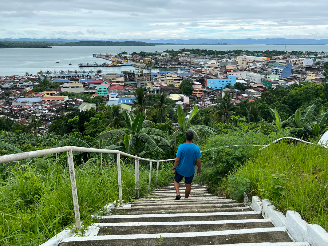 Calvary Hill offers an amazing panoramic view of the city of Tacloban. Calvary Hill is more than just a pilgrimage site. It is also a perfect location for a quick hike in the city. You will be treated with an amazing panoramic view of Tacloban and the San Juanico Strait. From the vantage point, you can clearly see the iconic structures of the city. You also get to enjoy the serene vibe while enjoying the breeze as you cool you down. Leyte Provincial Capitol and Plaza Libertad Did you know that Tacloban City served as the country’s capital during the liberation in WW2? Yes, the city served as the country’s capital from October 1944 to February of 1945. It was in the Capitol Building where former President Sergio Osmena was installed as President of the country. 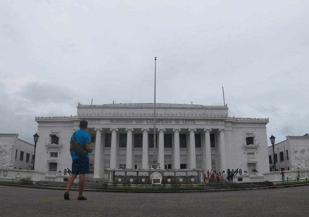 Tacloban serves as the Provincial Capitol of Leyte.
Today the Leyte Provincial Capitol serves as the center of governance for the province. Its historical significance is marked by a historical marker that outlines its historical value in WW2. There are two tableau that flanks the “Kapitolyo”. Both artworks highlight two significant events in the region - the arrival of the Spaniards in the country and the arrival of liberation forces in Palo, Leyte.
Plaza Libertad is an open-space park in front of the Leyte Provincial Capitol. An image of a lady carrying a knife is the central point of the park. It is a good afternoon spot to chill down and relax after a long day in Tacloban. Tacloban City Hall / Philippine-Japan Commemorative Peace / Madonna of Japan The Tacloban City Hall is the center of city governance. Located atop a small hill along Magsaysay Boulevard, the building houses the local government offices that handles the needs of the city folks. This is where you will also find the “I love Tacloban” sign that would be perfect for your socmed posts. 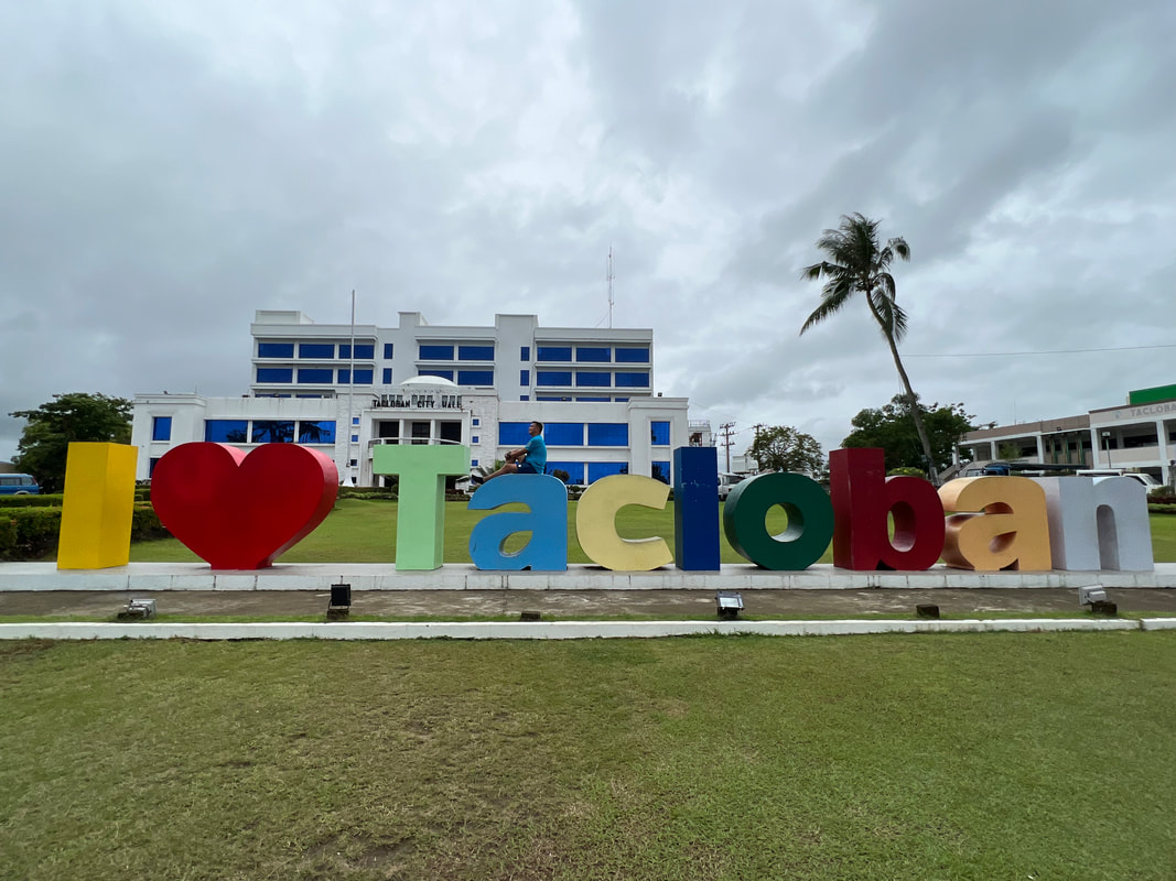 Enjoying one fine day in Tacloban City. There are two important installations in the city hall compound. The first is the Philippine-Japan Commemorative Peace - a memorial to the soldiers who died in the area. The second is the Maria Canon Madonna of Peace Shrine. The shrine, that sits adjacent to the city hall, features the image of Madonna carved out from Miyagi rock by Japanese sculptor, Shinichi Tani. Archdiocesan Shrine of Santo Nino At the heart of the Catholic faith in Tacloban City is the Santo Nino Church. The church is the most important religious site in the province because it is home to the revered image of the patron saint of the city, the Senor Santo Nino. It was the Agustinians from Cebu that introduced the devotion to the Holy Child when they took over the Jesuits in 1770. 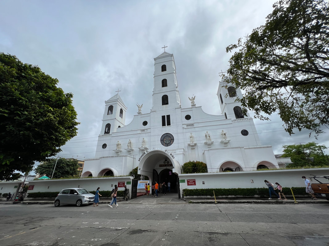 The Tacloban Church is the most important religious structure in the province. The church structure dominates the skyline of the city. In fact, you can see the three belfries of the church jut out from the urban landscape from Calvary Hill. The simple facade of the church is highlighted by the three belfries and the stained-glass window image of the Santo Nino, flanked by the images of the saints. 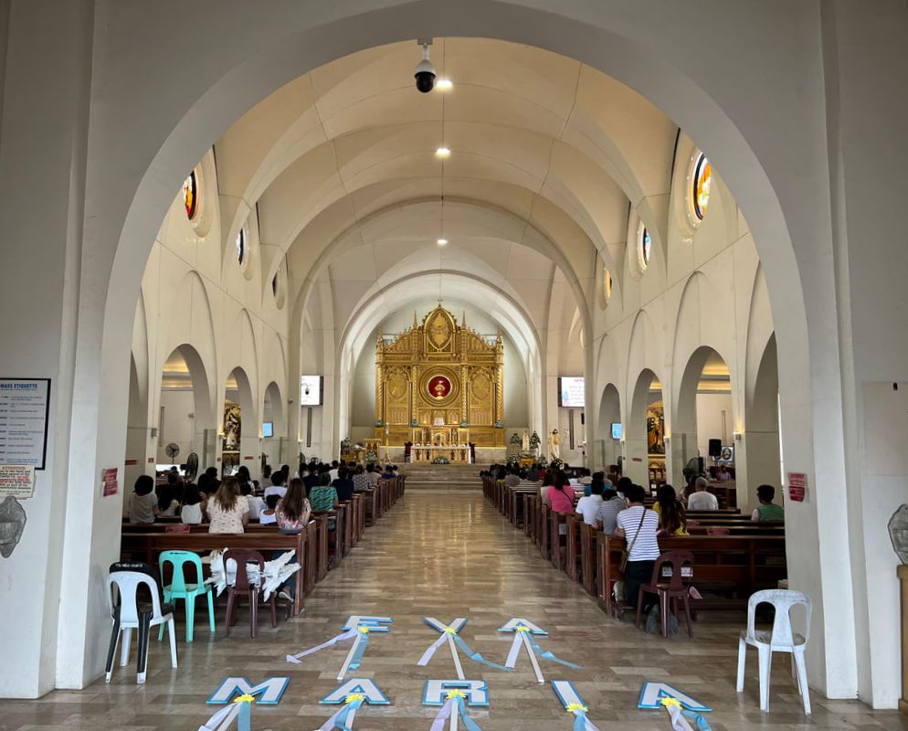 The altar's centerpiece is the patron saint of Tacloban - the Senor Santo Nino. The inside of the church maintains the simplicity of the church. The altar is void of the usual grand design that old churches usually have. A simple gold-colored altar highlighted by the image of the Santo Nino serves as the main centerpiece of the church. The church was also damaged during the onslaught of Typhoon Yolanda and was rebuilt with the financial assistance a foundation. Price Mansion Tacloban City was vital location during the liberation of the Philippines in World War 2. Because of this, it was not unusual to find structures that remind you of its place in Philippine history. The Price Mansion (CAP Building) in Sto. Nino Street in downtown Tacloban is an example of these structures in the city. The Price Mansion served as the official residence of General Douglas MacArthur for three months when they landed in Palo, Leyte. It is easy to find because of its grand design that stands out. The capiz-shell windows give it that old house heritage vibe. A monument of Gen MacArthur and Pres. Osmena depicting the turnover of the country to Filipinos was installed on the lawn of the compound. People’s Center Library When I first saw the structure when we touched down in the city, I thought that it was an NFA office/warehouse. The massive structure reminded me of huge storage areas of rice in the provinces. Little did I know that it was a storage area of sorts. It was the People’s Center Library that houses volumes of books from here and around the world. The Greek-inspired structure is the believed to be the oldest library in Eastern Visayas. It has a wide collection of books from all over the world that it is often visited by students and researchers. It was already late in the afternoon when I visited it so I only took a peek inside and found the first floor empty. It was like an auditorium. My guess is that they moved the books on the second floor as an after effect of Typhoon Yolanda. Sto. Nino Shrine and Heritage Museum The Santo Nino Shrine and Heritage Museum is a structure that was sequestered by the PCGG from the Marcos family in 1986. The mansion is believed to be one of the alleged 20 Presidential Houses built during that administration. The rest-house has a chapel honoring the Santo Nino, 21 bedrooms, a museum, 2 dining areas, 2 receiving areas, and a grand ballroom. Interestingly despite the association as an alleged Marcos property, the Marcoses never stayed in the “resthouse” and was only used 2 or 3 times since its completion in 1981. 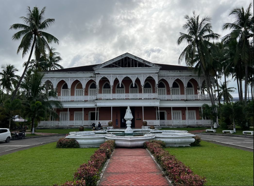 The Santo Nino Shrine and Heritage Museum is one of the most visited tourist attraction in the city. The mansion is said to stand on the ground where the family house of Imelda Marcos once stood. You can find a historical marker on the side of the compound honoring Imelda’s father. The mansion has a 13 themed guest rooms on the first floor and 7 rooms (one for each family member) on the second floor. A chapel on the first floor honors the Santo Nino however official masses are not done there. 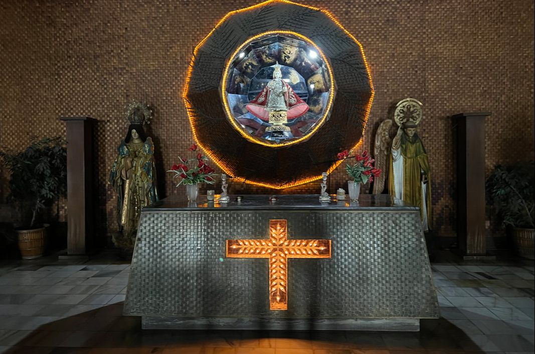 The receiving area of the first floor houses a smal chapel dedicated to the Santo Nino.
A museum tour will have a guide walk you through the mansion starting at the chapel. You then walk through the themed guest rooms. The rooms have specific motifs depicting Philippine culture and attractions - Ifugao, Muslim, Ilokandia, Coconuts, Shell, and Capiz, just to name a few. Each room has a diorama of the projects of the First lady and the Marcos Sr. administration. The first floor has its own receiving area and a state dining room. 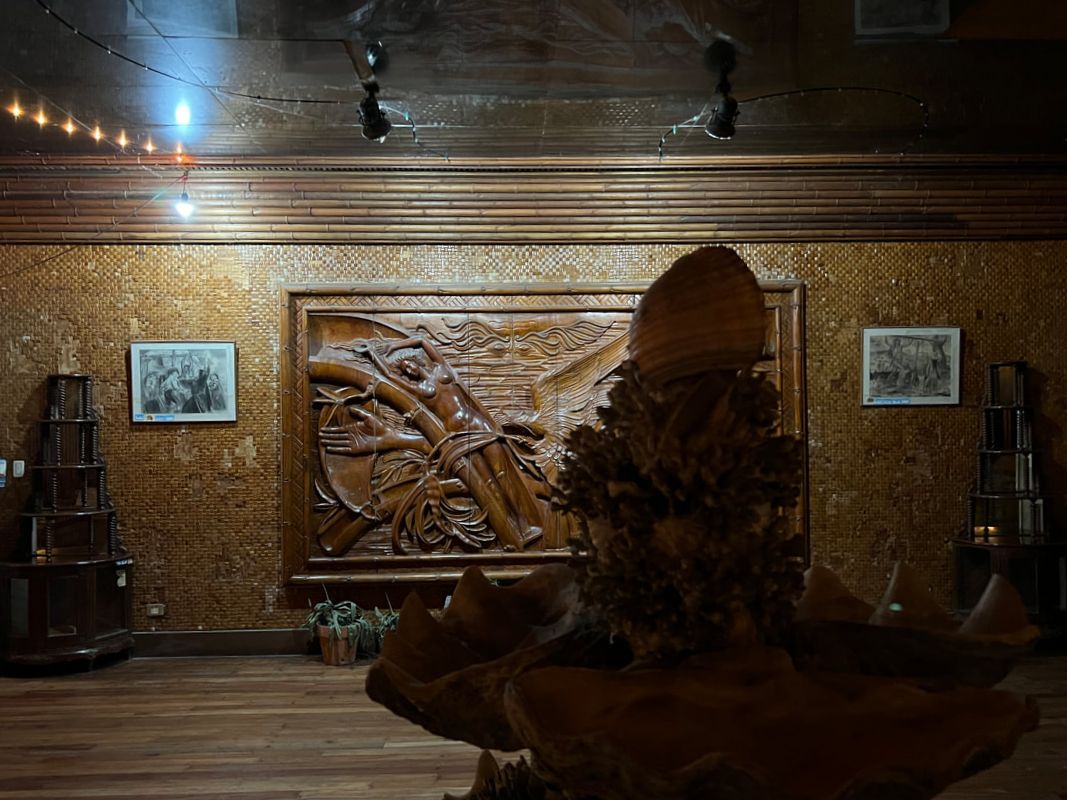 The art piece entitled "Si Malaks at Si Maganda" at the receiving hall on the first floor. The second floor houses the family rooms. Ferdinand Sr. and BongBong are on one wing complete with its own bathroom and offices while the ladies are on the other wing. The room of Imelda is the grandest having its own jacuzzi. The second floor has its own receiving area and a bigger state dining room. It is also where you will find the ballroom that is said to be a replica of the one in Malacanang. A huge painting of Imelda as a sea goddess holding her kids as pearls is mounted on one of the walls in the ballroom area. 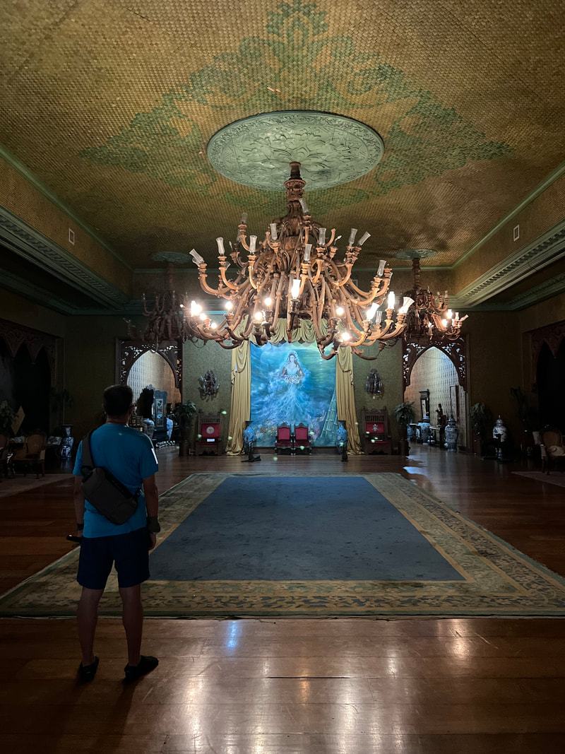 The Main Ballroom on the second floor of the mansion. It was designed similar to that of Malacanang's. The museum also is a repository of artifacts, art works, and antiques. The fixtures of the house are collections in itself as these came from different parts of the world. There are also collections of intricate religious art pieces displayed on the first floor. Ivory pieces and a jade stone are also on display, as well as, gifts given by foreign dignitaries to the Marcos family. The mansion is now a shrine and a heritage museum that showcases Filipino creativity and culture. It also serves as a repository of valuable collections of artifacts from around the world. The discussion as to whether the mansion was a display of the Marcos’ excessive spending is yet to be cast on stone. We had more than 30 years to prove such allegations and yet we still have nothing to date. Unfortunately in that 3 decades, this mansion in Tacloban is slowly decaying when we could have bagged it, kept its grand beauty, and earned more for its proper upkeep. POST TRAVEL NOTES Tacloban City is a city that speaks of resiliency. Going around the city, you could see the unique fusion of its grand place in history and its hardest and harshest moments. You could see how legacy and lessons from different presidents stand alongside with each other. Interestingly, you can also see the contradictions. The city once came down on its knees by nature and further beaten by an administration’s poor crisis management but it managed to stand up on its feet without forgetting the lessons that went with it.  San tayo next? See the hills over there? #SamarThere If there was one destination that opened my eyes, Tacloban City is that destination. It opened my eyes that Filipinos deserve more than just “pogi points”. We need better leaders in action to be a better nation. This city was one that I was excited to visit because it already had a place in my heart long before setting foot on it. Walking its street gave me that assurance that I stood my ground well. And that, my friends, is one benefit of traveling, you see, hear, and learn beyond your bounds. #MahalinNatinAngPilipinas #SamaSamangBabangonMuli Getting there: Tacloban City is an hour away by plane from Metro Manila. All major airlines fly to Tacloban from the major airline hubs of the country. Going around the city economically can be done by jeeps or tricycle.
0 Comments
Exploring the eastern side of Visayas was a long-delayed pre-pandemic plan. It was an easy pick when restrictions were relaxed, coupled by the pressure to use flight tickets that were due to expire. The planning was quick so there were a lot of blind turns along the way. In the end, it was a trip that got me going back to the basics and getting drenched in the rain just to bring #BiliranToYou.  Biliran is my 63rd province! This is it! The island of Biliran was once known as Isla de Panamao where the first large-scale shipyard was established in the 17th century to support the Galleon Trade between Manila and Acapulco. It later adopted the name Biliran in the turn of the 18th century, in reference to the native grass, “borobiliran”, which grew in abundance on the island. It was once a sub-province of Leyte and it was only in 1992 that it was granted its provincial status making it one of the newest provinces in the country. With a total land area of 536 square kilometers, the province of Biliran is the fourth smallest province in the country. It is composed of two major volcanic islands - Biliran and Maripipi. Its rustic feature remains off radar among mainstream travelers largely because it is often overshadowed by the more “popular” beach attractions in Leyte. But don’t be deceived by its rustic vibe because Biliran has its own attractions that will impress you and would make you want to explore the island more. Biliran Bridge The Biliran Bridge is the first attraction to greet you when you find yourself in Biliran. The steel bridge connects the province to Leyte via Poro Island. The bridge spans the channel that connects Biliran Strait and Coalargo Bay. 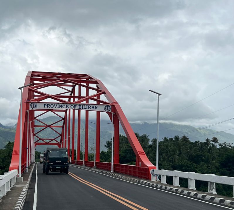 The Biliran Bridge, built during the Marcos Sr. administration, welcomes visitors coming from Leyte. Complete in 1975 under the Marcos Sr. Administration, the Biliran Bridge spans about 150 meters across the channel. It gives you a good view of the waters that sandwich the province. It serves as the only bridge that connects the province to the rest of the country. It has become an attraction in the province with tourists taking photos of the structure that welcomes you to the province. Ulan-Ulan Falls Ulan-Ulan Falls is one of the popular tourist destinations in Biliran. The name was derived from the local dialect that means “rain” because of the mist created from its cascade is similar to rain droplets. It is easily accessible via a habal-habal ride if you are doing DIY. 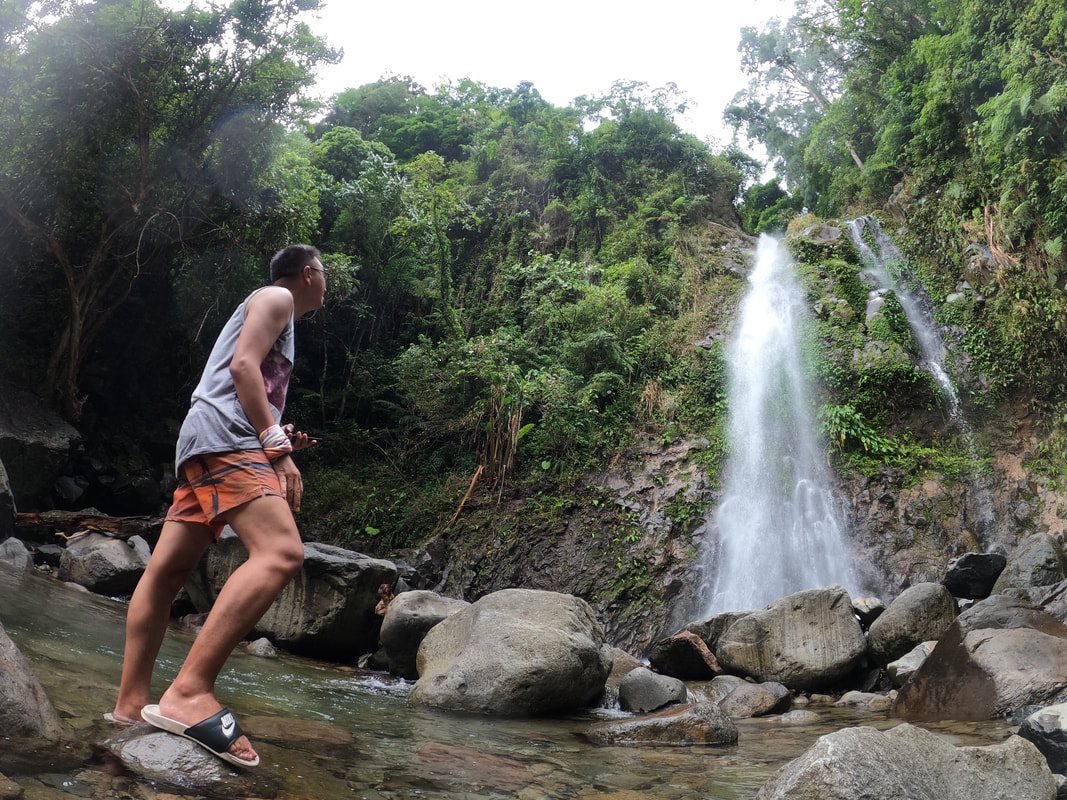 Biliran has a collection of waterfall attractions and Ulan-Ulan is one of the popular waterfalls to visit in the island. Located in the hinterlands, guests would need to hike for 5 minutes through a dirt trail from the jump off point. The slippery trail leads down to the base of Ulan Ulan Falls where you get to enjoy its beauty. The water cascades from a height of 25 meters creating a mist as it reaches the base. You can get refreshed from the exploring by taking a cold dip in its catch basin. I enjoyed the feel of the cold spring waters on my skin while I enjoyed and connected with nature.
Ulan-Ulan Falls is surrounded by the Biliran’s tropical forest giving it a more ethereal and relaxing vibe. It was very relaxing to close eyes and feel the cold water on my skin while enjoying the sound of water cascading. I guess the cascade was not in full force during my visit as the mist by its base was not as how the guide described it to us. But it was nice to have all my senses connect with nature at Ulan-Ulan Falls. Sampao Rice Terraces If you think that rice terraces are only found in the Cordilleras, you are wrong. Biliran has its own version. The Sampao Rice Terraces is just one of the terraces that you can find in the province. It is also a traditional way of planting that has been passed on from generation to generation.  The hillside of Biliran holds another man-made attraction - rice terraces. The Sampao Rice Terraces is a terrace field along the hillside of Almeria. The man-made agricultural wonders were hand crafted by early settlers that has been handed down to the present generation. The rugged terrains of this volcanic island paved the way to the construction of these terraces to get better yields in agricultural production. The terraces may not be as breathtaking as those found in the Cordilleras but it has more than just an efficient way of farming for locals. The terraces are now attractions in Biliran. Pundol Falls Pundol Falls is a waterfalls attraction that will make you go up against your fear. Located within the hinterlands, the falls can be accessed after scrambling over boulders from the jump-off point. I didn’t have a guide when I started out as my guide had to watch over my bag when we got to the jump-off. I just followed the sound of the cascade to get to the base of the falls. 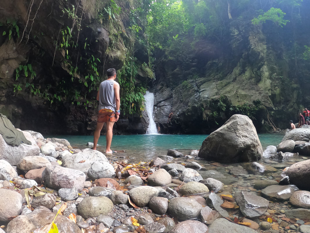 A quick stop at the beautiful Pundol Falls to enjoy its cold water running on my feet. Unlike Ulan-Ulan Falls, Pundol Falls has a single cascade and a very deep basin. The water cascades stronger before flowing downstream. It is also surrounded by tropical forests giving guests a good shade from the sun. Locals were enjoying a swim in the cold waters of the Pundol Falls. A group of brave young boys were clambering up the adjacent rock walls of the walls. I was wondering what they were up to when one of the boys jumped into the basin. He jumped from a height of almost 3 or 4 floors of a building!!! I was amazed by the bravery of these kids jumping from that height. The basin must be really deep to safely do a jump from that height.
As I was heading back to the jump-off point, I was humbled by the warm reception of the locals. They were smiling and they greeted back when I greeted them. It was a Saturday and the locals were enjoying the natural beauty of Pundol Falls. Ahhh… these are the simple perks that we all miss out in the city. Sambawan Island Sambawan Island is THE tourism icon of the province of Biliran. Most travelers who get curious with the province target this string of islets located off the coast of Maripipi Island. It is one of the most photogenic and dramatic spots in the country especially during the sunset. 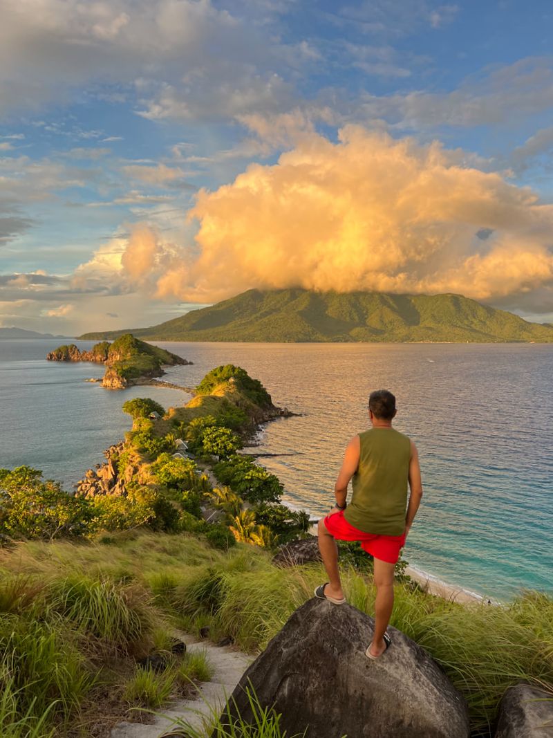 Sambawan Island was a perfect spot to reset from all the toxicity of the 2022 elections. An hour by boat from Kawayan Port in Biliran Island, Sambawan Island was able to keep its pristine beauty. A small dive resort on the island provides guests with the basic amenities for a day or overnight trip to the island. The best view of the island is on its highest point, a 10-minute trek along a concrete pathway, where you can see the string of islets with Maripipi Island on the background. The view on the other side is the “tail” of the main island and another island with the sea as its backdrop. The sunset gave us a good view on both sides.
Sambawan Island is a perfect spot to unwind or reset from our busy, sometimes toxic, life in the city. It offers an escape that allows you to slow down and connect with nature. You get to enjoy basic island living and gives you the appreciation on the simple things in life. You get to enjoy a perfect combination of sand, sea, and sun while keeping you grounded with nature. You can check out my separate blog on my Sambawan here: Wow Sambawan! (An Election Request) POST TRAVEL NOTES I enjoyed the sun, sand, the cold spring water, and getting drenched by the rain in Biliran. My short stay in the island got me excited that I want to go back and explore more of its beauty. It deserves more than a day to explore what it has to offer to travelers like me. Biliran is my kind of destination where its rustic vibe and pristine beauty is worthy of more time and exposure. It is a gem waiting for its turn for the spotlight. San tayo susunod? The bridge that speaks of legacy and the goal of unity. I am excited as we start seeing the pick-up in the tourism sector with a more relaxed community quarantine. This is the time to explore beyond the usual destinations and help in building or re-building local businesses. I am looking forward to exploring more off-beat destinations. Destinations that give me rustic and pristine views of nature. #MahalinNatinAngPilipinas #SamaSamangBabangonMuli Getting there: Biliran can be reached by taking a flight to Tacloban from any local airline hub in the Philippines like Manila and Cebu. You can then take a trike from the airport to Savemore in Tacloban City. A van terminal is located behind Savemore where you can take a van to Naval in Biliran. For ease of travel, you can contact Sambawan Island at (0965) 427 9035. For local tours in Biliran, you can contact Kuya Jovy at (0905) 462 5753.
I needed to reset after this very divisive National Elections. Like most people, I am jubilant with the outcome but I cannot deny that I have been served some toxicity and judgement from other people because of my candidate preference. I needed a break to release the tension that I have kept for so long and traveling is my primary outlet. I had to get wowed and then there was Sambawan. 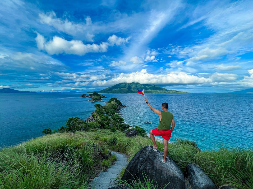 Finally got my reset from all the toxicity in Sambawan Island! Sambawan Island is a group of islets off the coast of Maripipi in the province of Biliran. It is largely uninhabited except for a small diving resort that offer basic amenities. It is the tourism icon of the province, owing it to having one of the most photogenic spots in the country. Back To Basics The road to Sambawan was not a walk in the park. The longer route would entail taking an hour flight from to Tacloban, a four hour land trip to Kawayan in Biliran, and, finally an hour of boat ride to the island. It was physically tiring but it was the kind that excites me because it gives you that feeling as if you are a contestant in an amazing race game.  Getting my initial dose of the summer sun. The east side of the island is where you could find the sandy coves where the diving resort is located. However, do not expect much from the resort apart from the very basic amenities and, by basic, I mean sleeping on papag. I did not expect this as I had no prior contact with them. I came in unprepared except for the usual malong that I had with me. Sleeping on a hard bamboo flooring wasn’t really the most comfortable experience but it was humbling. The caretaker shared with me that they had just acquired the island from the original hosts. Most of the basic amenities were stripped off. Fresh water can be bought for Php40 per small drum. Electricity only run until 10pm. There’s only a small “canteen” but supplies are limited. You need to either buy food from the Kawayan or bring food to cook in the island. A Perfect View From The Top After settling down and getting over the initial shock, I prepped to head up the highest peak of Sambawan Island. This is the spot that you would often see from those who have already been to the island. A three-minute of huffing and puffing along the cemented trails will bring you to this famous spot in the island.
The view from the top was just jaw-dropping. The view deck gives you two amazing views of two sides of the islets. The north side gives you a scenic trail of islets with Maripipi looming on the background. The south side gives you a relaxing view of two large islets with the sea as it background. The north view is the most photographed view of Sambawan. The vantage point also gives you the ruggedness of Sambawan’s landscape and the turquoise waters surrounding it. 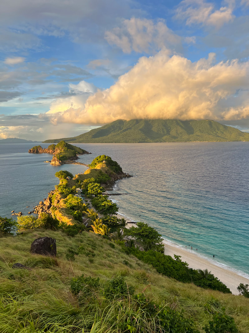 The north side of the island is the most photographed spot because of its dramatic landscape. The view gets even better as the sun sets on the horizon as the golden rays hits the island. The glowing yellow-orange color give the landscape a dramatic glow that stands out against the blue waters and sky. It was just magical that had me getting another round of pictures. The island has a good view of the sunrise and the sunset. Unfortunately, the sunrise was not as good as the sunset as rainclouds covered the mountain top of Maripipi the next morning.  Enjoying the view of the other side of the island.
A small elevated kubo was installed atop the hill where you can rest while enjoying the views and the feel of the sea breeze on your skin. I enjoyed getting a much-needed summer tan while getting immersed with nature. The breeze was just refreshing. The views and the fresh air was a welcome break from all the toxicity of the city and the recently concluded national elections. Back On The Ground You can access two sandy coves on the island. The bigger cove has the basic camping facilities. You can find a cozy spot by the beach where you can enjoy enjoy the sun, sand, and sea. You can enjoy the view while sipping hot coffee in the morning or go for a drink with friends in the afternoon or evening.  You can also get to enjoy the sun, sand, and sea along the white sand coves of Sambawan Island.
If you are up for a more quiet spot, a wooden bridge snakes through the rock edge of the island that leads to the smaller cover. Take extra precaution when you climb down from the bridge onto its rocks. An even smaller cove is found adjacent to it. I was not able to explore the area since it was already getting pretty dark when I attempted to explore it. You also get to enjoy a cool dip under the sun in the turquoise waters of Sambawan. The sand is a combination of white sand, shells, and corals so walking barefoot can be quite uncomfortable. Take extra precaution when swimming as water gets deep a few meters from the shoreline. I enjoyed just floating and letting the salt water energize me.  Enjoying the feel of saltwater on my skin. You can still see traces of how the island was damaged by the typhoon - a destroyed hut needing repairs and a destroyed cemented docking station (I think). The owners of the island is still re-building from what was left. It was good that tourists are starting to explore the island which helps them in their efforts. POST TRAVEL NOTES Sambawan Island gave me my much-needed reset from all the toxicity of the current events. It made me stop and breathe. It energized me by grounding me back through nature’s beauty and getting me back to the basics. The trip was not a comfortable one and, neither, was the overnight stay. There were blind curve balls through the experience. But it did remind me that whatever the circumstances that we face, we should always choose to accept, adjust, and move on. That is how we live and enjoy life.  Where are we heading next? Find time to go for a reset. We all need one to break the monotony of our daily lives or to break the pandemic stress or to shut off the toxicity of the national elections. Go to your favorite corner and just shut down. Get yourself connected and grounded with nature. Release the stress and let the earth recharge you. Exploring is my form of reset. Go and find your reset. #MahalinNatinAngPilipinas #SamaSamangBabangonMuli Getting there: If you are planning to go to Sambawan Island, you need to take a flight to Tacloban City from any major hub in the country. You then take a van from Tacloban City to Naval in Biliran. You then take a public jeep/bus or hire a tricycle or habal-habal to Kawayan Port. You then need to hire a boat 9 (round trip) for the hour-long trip to Sambawan Island. Make sure that you make the pick-up arrangement with your bangkero. For ease of travel, you can contact Sambawan Island at (0965) 427 9035.
A deadline to use my stored flight funds and flight vouchers, or else lose it, had me scampering to book flights for me and my family. We haven’t boarded a plane in two years so this was an exciting activity for me. There were a number of options to choose from but family vacations, when I plan it, needs to have a pinch of adventure. So, I booked us a flight to Cebu to enjoy our first family vacation since the start of the pandemic. 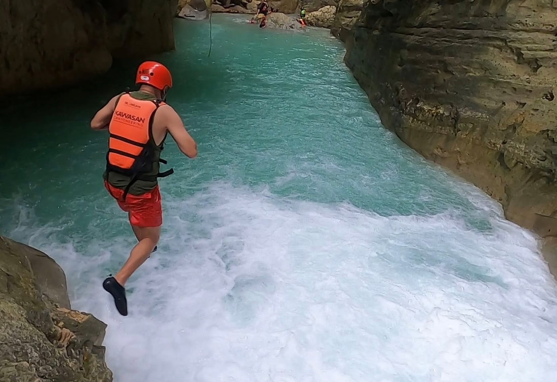 Family vacations should be fun, exciting, and memorable. Badian is a municipality on the southwest side of Cebu province that is popular for its canyoneering activity. The tourism icon of the area is the beautiful Kawasan Falls with its teal-colored spring water. Unfortunately, the province of Cebu was brought down to its knees by supertyphoon Odette, and that included Badian. Our visit was good start to re-introduce the place as it recovers from the pandemic and calamity. 5.17am. Touchdown Cebu. Our one-hour flight went very smoothly from Manila. As we landed in Cebu, I quickly fell in love with the new airport. It evoked a tropical upbeat vibe that excites you. It was early morning so we breezed through the arrival area of the airport. We worked our way from the airport to the city’s South Bus Terminal to catch a bus to Badian.  Touchdown in Cebu. The three-hour trip to Badian was uneventful. The trip treated us with urban and rural views of Cebu. I enjoyed the mix of urban and rural vibe of the cities and the relaxing rustic views of Cebu’s hills and coastal areas. It was a bit gloomy but the trip was relaxing and, since it was my first travel out of Luzon, I was in my element. Cuestas Beach Resort was our home in Badian. It was good that I decided to just stay in Badian for this family trip because Cuestas made our three day vacation a relaxing and memorable one. The resort is a peaceful sanctuary along the coast of Badian with its own beach strip. It has a pool, a jacuzzi, and a couple of huts where you can just chill down and enjoy the calm and peaceful surrounding. They have two kinds of accommodation - the aircon deluxe rooms and the nipa fan rooms. All rooms have a beautiful overlooking view of the resort and the beach.
One thing that we really loved and enjoyed at Cuesta’s was the food!!! Everything we ordered and, even, the breakfast that they served were all good. It was so good that we never tried any restaurant in the area. Highly recommended is their squash soup, sizzling bangus, gambas, burger, and their home-made bread that go with their continental breakfast. Everything that we tried was good and what made it better was the homey vibe of the place. It was our home in Badian. Sardines On The Run and An Unbothered Turtle The weather was still gloomy as we headed out for a full day of adventure on our second day. First on our list was a visit to nearby Moalboal to explore the beauty underneath its waters. Moalboal is a popular destination for divers because of its beautiful and diverse underwater scenes. It is a sanctuary for sea creatures which makes water activities more diverse and exciting.
Our first stop was Pescador Island where we got the chance to enjoy its underwater scene. Initially, the waters scared me a bit after seeing the drop on the side of the island. The initial scare subsided after we started enjoying the beautiful corals, teeming with different kind of fish. We got excited after our guide pulled out a puffer fish from underneath one of the corals. It was a perfect opener for our summer escape.
After about 45 minutes of relaxing and floating around, we then sailed off closer to shore to watch one of the most spectacular nature show underwater - the sardine run. I initially thought that we would be able to watch the spectacle in the middle of the sea and I was surprised that it was closer to the shores of Moalboal. Nevertheless, it was mesmerizing to watch the school of sardines swim in a rhythmic motion, shifting from one direction to another in one choreographed movement. The way I described it was hypnotic. It was a nature shown that I want to see again but I would like to learn to free dive first for a better viewing experience.
From the graceful movement of the sardines, we then moved closer to shore to relaxingly swim with an unbothered sea turtle. This was, by far, the closest and longest encounter that I have had with a sea turtle. My previous encounters had me huffing and puffing as we try to get catch up with this gentle sea creature. This was not the case for this unbothered turtle. It was gently munching on sea grass and, occasionally, go up for air like he doesn’t have a care in the world. It was unbothered by the attention and the excitement of the people around it. It was just doing its thing… well… unbothered.  A quick snap with our sea guides before we went to our next adventure. The quick glimpse of Moalboal was for the books. It was beautiful and enchanting that the place is worthy for a comeback. I will be ready the second time around. The Highs of Canyoneering It was the canyoneering that we came here for in Badian and we were lucky that we were able to do it despite the gloomy weather because of a weather system near the island of Cebu. Canyoneering along Canloab River is the main tourist draw in the area. This high adrenaline activity gets you trekking, clambering on rocks, jumping into the river, and floating in the cold river waters.  Getting ready to conquer the canyons of Badian.
Our adventure started with flying down the zipline over the mountain side and forest covers of Badian from the jump off point. The one minute flight saved us around 20-30 minutes of hike to the river trail. Asher initially wasn’t particularly happy about zip-lining but halfway through, she got the hang of it. The “in-flight” rustic views were amazing and it did give us our intial dose of adrenaline.
They say that it only takes one jump to take away the initial fear of jumping into a raging river. It does. We conquered the Canlaob River as we scrambled on its rocks, swam in its turquoise waters, and leaped alongside its raging cascades. It was an experience that gave us different doses of adrenaline high. Yes, one jump made everything a breeze after.
We saw how much damage Typhoon Odette brought upon Badian. Fallen and uprooted trees lie along the canyoneering trail. Our guide shared that the flooding changed the landscape of the riverbed. Some pre-typhoon canyoneering highlights were no longer in place because of the changed landscape. The damage on tourism facilities became more evident as we approached the famous three-tiered Kawasan Falls. The cliff jump area looked barren and the Badian Dam is missing its ethereal vibe, that I often see in pictures, because of the damaged forest covers around it. The ruins of tourist facilities greeted us as we walked down the trail to view its three cascade. It was disheartening to see the damage but the falls managed to keep the beauty of its turquoise waters that it was known for.  It was a tiring adventure but we were smiling the whole time. It took us more than 4 hours to traverse the “canyons” of Badian. It was already dark, with a little drizzle, when we finally made our way to the main highway. It was a tiring but fulfilling day for us enjoying both nature’s beauty and the aftermath of its wrath. It is slowly recovering and I do plan to go back when the place has fully recovered to again witness its old beauty. Despite the changes, canyoneering in Badian still offers the same thrill and rush amidst a changed landscape. POST TRAVEL NOTES Cebu will always be my happy place and I’m glad it was our first family trip, out of Luzon, after two years of limited mobility. I realized how much I missed riding planes, the thrill of experiencing a new adventure, and making a different kind of memory with the family. As parents, we should make sure that we get to do these kind of adventures with our kids while they are young and, most especially, while we can. The memories that we create, with these adventures, will last as our kids grow old.  Dang! We are definitely back! San tayo sunod? It was also good that we also get to share the adventure with you as Badian re-builds itself. The stories that I am sharing with you now is aimed at encouraging you to go out and explore beyond the usual. Encouraging you to visit destinations that are re-building help speed up the recovery process for the locals. It is a different kind of adventure that go a long way to the community. Go beyond the usual. It was also good that we also get to share the adventure with you as Badian re-builds itself. The stories that I am sharing with you now is aimed at encouraging you to go out and explore beyond the usual. Encouraging you to visit destinations that are re-building help speed up the recovery process for the locals. It is a different kind of adventure that go a long way to the community. Go beyond the usual. Check out our Badian travel adventure on my Youtube travel channel: #ByahengOffTheGrid Badian #StandTogetherPinoy #MahalinNatinAngPilipinas #SamaSamangBabangonMuli Getting there: Cebu is a major hub in the country and one can take a flight, or take a ferry, to Cebu City. From the airport, you take a taxi to the Cebu City South Bus Terminal where you take a bus to Bato via Barili. You can ask the driver to drop you off at Badian where you can take a tricycle to your resort. If you are staying at Cuesta’s Beach Resort and Restaurant, you can ask the driver to drop you off at the resort. From the highway, it is just a short walk to the resort. You can book your accommodations through the Facebook page of Cuesta’s Beach Resort and Restaurant. You can arrange your Sardine Run and Chasing Turtles and Kawasan Canyoneering Adventures with Kawasan Canyoneering. You can reach them at (0905) 333 2623 or (0918) 654 4111.
In the midst of a hot day in March, I decided to make a quick city exploration in the metro. I haven’t really done any urban hike recently and the heat of the dry season wasn’t exactly giving me the eagerness to explore. This time I had to push myself to explore the city dubbed as the “Gateway to Metro Manila”.  We are off to enjoy the sun on this side of the metro - Pasay City! Pasay City was once part of a confederation known as Namayan. Its name “Pasay” was believed to be from the name of the child to whom the former ruler bequeathed the territory. The territory was renamed twice - the first was “Pineda” during the Spanish period and the second was in 1947 where it was renamed as “Rizal City”. In both cases, locals moved to revert it back to its old name. The city blossomed from being a rustic beachside barangay to a progressive city in the metro. It is the city that welcomes you if you are arriving Manila by air. It is also home to one of the biggest malls and the biggest cultural venue in the country. It is a destination that has fused history, culture, and urban vibe in one progressive city. Join me as we go out and explore Pasay! Sta. Clara de Montefalco de Pasay Church Founded in 1864, the Sta. Clara de Montefalco de Pasay Church is the oldest church in Pasay City. It was dedicated to the St. Clare of Montefalco, a saint under the Augustinian order. The city’s dedication to St. Clare started as early as 1611 when Pasay was still under the jurisdiction of the parish of Malate. It was only in 1863 that the parish of Pasay became independent from Malate. 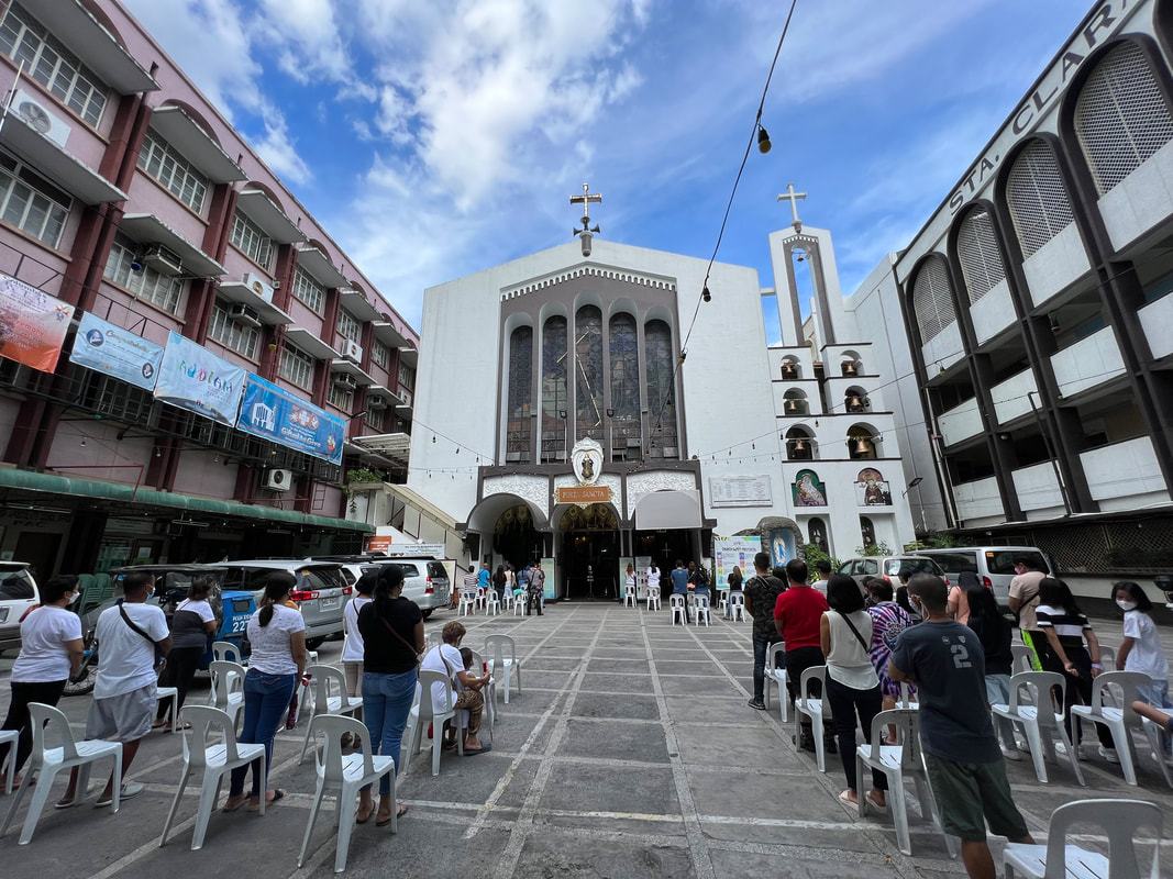 The Sta. Clara de Montefalco de Pasay Church is the oldest church in Pasay City. The church stands majestically sandwiched by the urban architecture of Pasay. Its facade stands out with its stained-glass windows and its three arched doors. The belfry stands adjacent on the left side of the church bearing six bells. Its interesting how the church perfectly blends with the structures around it. The impressive doors of the church opens up to the elegant interior of the church. Its high-ceilings gives the church a fresh and peaceful vibe like a sanctuary. A crucified Christ stands as the altar’s main centerpiece and adjacent are the two saint honored by the parish. The church strictly follow health protocols. It only allows a limited number of church attendees inside the church so make sure that you come early when you plan to hear mass. Pasay City Sports Complex / Derham Park The Pasay City Sports Complex is a sports facility located along the FB Harrison St. The rundown facility has a swimming pool and basketball courts that locals can access. It is also home to some of the local government offices. During the pandemic, it was converted into an isolation facility for COVID patients.
At the front of the facility is the Derham Park. A monument, complete with a historical marker, honoring Manuel Colayco. He was born in Pasay, served the country during World War 2. He died after being fatally wounded during the liberation operations at UST. The monument gives honor to Pasay’s local hero. Bulwagan ng Lungsod ng Pasay The Bulwagan ng Lungsod ng Pasay is the center of local governance of the city. This is where the local officials hold office. The city is governed by a Mayor, with a Vice Mayor who heads the legislative council. The council is composed of 12 councilors and barangay and youth representatives. The city hall stands along the busy FB Harrison Street and most local government offices are within the same area. The modern design of the city hall complements the urban landscape of the city. Although, do not be fooled because the city has a number of historical sites under its wing. School for the Deaf Tucked along the Harrison Street, the School for the Deaf is the only government institution for the deaf in the country. The idea to establish a school to cater to our visual and hearing impaired Filipinos started in 1907 by Dr. Barrows and a deaf teacher Miss Rice. It would become the pioneer in handicap education in the country and in Asia.  The Philippine School for the Deaf is the first educational institution for the deaf and blind in the country and in Asia. The present location of the school was a lot donated to the program. The school was later re-aligned as a separate school for the deaf and was renamed as the School for the Deaf. The school later evolved as a resource and research institution for the deaf. The Henry Hotel Manila Amidst the buzz of the city, there is a unique and serene hotel that was once a post-war mansion. The vintage hotel is popular for its vintage style houses with a touch of art-deco. The sprawling compound is a relaxing sanctuary right smack in the middle of a busy city network.
You would be surprised with how big the property is when you enter its gates. A driveway leads to the main receiving area and the first thing that caught my attention were the plants and trees that surrounded the area. The greens complemented the wooden structures and it gave that homey and peaceful vibe. The Henry Hotel has a restaurant, a pool, and a sprawling garden that its guests can enjoy. It does not give off that hotel vibe but it seems more like a home where you can enjoy a quiet afternoon reading a book or taking a dip in the pool. I think that it is a good place to take a break and detach without living the city. Cartimar Shopping Center The Cartimar Shopping Center is popular among pet lovers because of its pet shop alleys. I have heard about Cartimar but it was only when I heard about a coffee shop that I got interested with checking it out. From FB Harrison, I took a trike to this old-time shopping center in Pasay.
Long before the emergence of big malls, Cartimar was the place to go in the 70’s and 80’s for PX goods and clothes. It was the go-to place of Makati residents for fresh produce. It was once home to 1000 stall tenants with some of these shops getting the lift on their start-up businesses here. The shopping center has lost its vibe after having to compete with the emergence bigger malls in the metro. It still remains to be the preferred area to shop for pets and supplies if one is willing to travel all the way to Pasay. The stalls are still lined with different merchants offering clothes, shoes, and other merchandise. The pet stores, though, have a lot more activity. Some would probably feel nostalgic walking along its alleys but a lot needs to be done to keep Cartimar within the radar of consumers. Cultural Center of the Philippines Complex Initially conceived in 1966, the CCP Complex is one of the legacies left by the former Philippine President Ferdinand Marcos. It is an 88-hectare reclaimed land along Roxas Boulevard that was developed as a tourism and cultural hub in Metro Manila. Post-Marcos development saw its expansion linking it to the Bay City project, a 1500-hectare reclaimed land in Manila Bay. 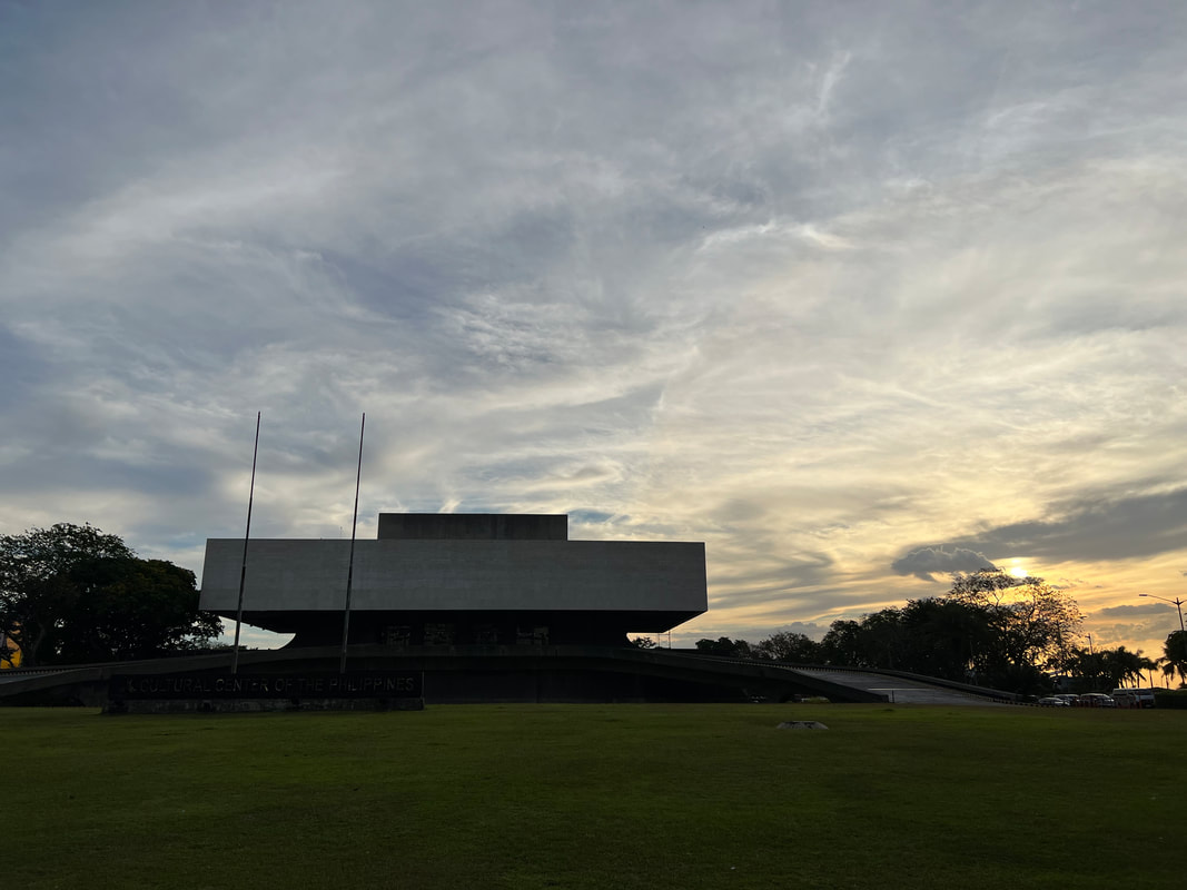 The Cultural Center of the Philippines is the center of arts in the country.
The complex has a collection of 60’s and 70’s structures designed by National Artist Leandro Locsin. At the forefront is the Tanghalang Pambansa that houses the main offices of the CCP and three performing arts theaters - the Tanghalang Nicanor Abelardo, the Tanghalang Aurelio Tolentino, and the Tanghalang Huseng Batute. This is the most iconic among all the structures as it serves as the “face” of the CCP Complex. At the far end of the CCP Complex is the Tanghalang Francisco Balagtas or more popularly known as the Folk Arts Theater. The theater is a covered amphitheater that can accommodate 8500 spectators. Again, it was designed by National Artist Leandro Locsin and was built in only 77 days just in time to host the Miss Universe pageant in 1974. The concert venue, since then, has hosted various events and concerts of Menudo, Janet Jackson, and local artists.
The Philippine International Convention Center or PICC is another Leandro Locsin-designed building in the complex. It was the first international convention center in Asia to be inaugurated in 1976. It has hosted both national and international business conferences, meetings, and social events. Other pertinent structures in the area is the Manila Film Center, the Sofitel Manila, the Coconut Palace, and the metro’s amusement park Star City. The plan for the area would see the development of 6 areas/clusters that was supposed to be built by phases in 10 years. As of this writing, the project has still to be started or completed. Mall of Asia A trip to Pasay City is not complete without visiting the Mall of Asia. The mall is the largest in the Philippines and the third largest in the world. Located along Bay City, it is home to a total 663 tenants. It also has a sunset promenade, an amusement park, and the MOA Arena.
I am really not a fam of malls but one thing that I love about the SM MOA is its sunset promenade where you get to enjoy the breeze and the views of the famous Manila Bay sunset. The promenade is perfect to catch the sunset after a full day of going around the mall or before catching up with friends over dinner. One thing that I would like to try though is watching the sunset while aboard the MOA eye. Anyone willing to join me? POST TRAVEL NOTES From a seaside barangay to a progressive city, Pasay City has grown leaps and bounds through the centuries. I guess it is one of those cities who have lost its old town charm as it embraced development and progress. Don’t get me wrong, the city still has pockets of history but the vibe that managed to get fused with its development is from the 70’s and 80’s. One thing that is distinct though was how Pasay has managed to fuse history, artistry, and urban vibe in one city.  We are getting a complete summer thrill this 2022! #MahalinNatinAngPilipinas Exploring the metro has given me a glimpse of how cities embraced progress. While some managed to keep the old town charm, there are those that managed to completely embrace development that it gave the city a different personality. It’s these changes and fusion that make each destination unique and it is that unique trait that attracts more travelers to visit. What makes your place different? #StandTogetherPinoy #MahalinNatinAngPilipinas #SamaSamangBabangonMuli Getting there: You can take the LRT 1 and go down at the Libertad Station in Pasay City.
PAGASA already declared the start of the dry season so we are now expecting hotter days ahead. This is the time when most of us have started planning out our beach trips or has probably been to the beach to enjoy a nice cool down. I mean… with 7641 islands (not 1700), hitting the beach is the first thing that comes to mind when we start feeling the heat, literally and figuratively. Every corner of the country, with our long coast line, has a beach spot for every kind of traveler.  Thinking of where to go to beat the heat other than the beach? BUT… the Philippines is not just about beaches. There are destinations in the country where you can find a nice and cozy spot to cool down. Here are 5 “summer” destinations near the metro to help you beat the metro heat! 13 Waterfalls, Dona Remedios Trinidad, Bulacan Head up to the rustic side of Bulacan and enjoy the cold spring waters of Dona Remedios Trinidad. This part of the province remains largely unexplored and, thanks to the pandemic, its natural attractions are starting to get the attention of local travelers. DRT is the largest municipality of Bulacan and lies along the Sierra Madre mountain range. Its rugged terrain is a treasure trove of natural wonders that is waiting to be explored.  Finding my own jacuzzi spot at DRT's 13 Falls. 13 Waterfalls is just one of the many waterfalls that you can find in DRT. It also happens to be my favorite because it gives you a complete adventure of having to clamber through rocks and hike on trails to get to see the 13 “waterfalls”. The “waterfalls” are actually a series of water cascades that flow along Sapang Adarna. The falls located higher up the trail are more noticeable compared to those found downstream. The great thing about trekking through 13 Waterfalls is that you can always take a quick dip in its cold waters to cool you down along the trail.
The adventure is tiring but totally fun. Be forewarned though that the trek can be a bit of a challenge. Don’t expect to see grand cascades because only certain waterfalls will give you that amazing view. Some of it go unnoticed and that makes the whole experience exciting because you all end up counting less or more than 13 Falls. Check out the full blog here: Dona Remedios Na Yan! You can also checkout my travel video blog of 13 Waterfalls here: #ByahengOffTheGrid Done Remedios Trinidad Tinipak River, Tanay, Rizal Here is another adventure that will have you huffing and puffing before you get to enjoy the cold waters of one of the cleanest rivers in the country. Just two hours east of the metro, Tanay has become a favorite day and weekend destination with its diverse tourism activities.  The white limestone formations of Tinipak River was the first to attract travelers to this part of Tanay.
Tinipak River was the first to catch travelers’ interest on this side of Rizal. The white limestone formations of Tinipak was a natural wonder that got everyone amazed. The view and a dip in its cold waters was a perfect way to cool down after the hour trek from the jump off point or after climbing up the adjacent Mount Daraitan. There is also a cave that you can explore where its spring waters flow into Tinipak River.
Tanay’s tourism has developed from off-beat spots to a destination that offers diverse activities that cater to any kind of traveler. It has become an all-year round destination that will surely quench your thirst for adventure. But nothing really beats enjoying the summer views and the cold spring waters of Tinipak River. Check out the full blog here: Wow Tinipak! Buruwisan Falls, Siniloan, Laguna Situated along the Sierra Madre mountain range , Siniloan is another destination that will cool you down from the summer heat. Its waterfalls and green covers cools you down, the natural way. Of course, part of the process is getting you all muddied up first.  Buruwisan Falls is a perfect spot to cool down this hot season. The Buruwisan Falls experience allows you to enjoy walking through the forest covers of Siniloan and giving you that refreshing dip in its cold waters. There are, at least, three waterfalls that you will get to enjoy along the trail. The most majestic is Buruwisan Falls that cascades at a height of 180 feet. The view of its drop while getting refreshed by its cold water is the perfect way to end the hike before heading back to its muddy trail.
The eastern side of Laguna is perfect for chasing waterfalls. It is tiring but exciting because it gets you all muddied up first before enjoying a cool wash down. If you are the type who loves the gentle flow of cold water on your skin, Buruwisan Falls is a perfect spot for you. It warms you up before cooling you down. Check out the full blog here: Mount Romelo: A Peak and Chasing Waterfalls You can also checkout my travel video blog of Siniloan here: #ByahengOffTheGrid Siniloan Isla Maria, Cavinti, Laguna Isla Maria re-defines the phrase “stranded on an island”. Located along the waters of Lumot Lake, Isla Maria is a private island that you can enjoy for the weekend. It is just one of the many island lakes in the area where you can enjoy the rustic vibe.
Isla Maria gives you that unique experience of getting marooned on an island. You get to enjoy the sights and sounds of nature throughout your stay - from the morning sounds of the gentle slushing of lake waters to the rustling sounds of leaves in the afternoon to the cricket sounds at night. You also get front seats as you watch the sun setting down the horizon. You can also enjoy a cool dip in the lake or enjoy canoeing down its still waters.
Lake Lumot is a perfect spot to unwind. You get to enjoy cooling down while enjoying the sun. You get to experience the rural vibe by boating around and/or fishing out tilapias for your next meal. It is great place to beat the heat while it slows you down. It is simply perfect. Check out the full blog here: Isla Maria: Re-defining Island Living Pandin Lake, San Pablo, Laguna The City of San Pablo in Laguna is a destination where you can cool down during the summer. Apart from its cooler weather, the city is also blessed with 7 lakes. Pandin Lake was developed into a tourist attraction where you can enjoy a day adventure enjoying the views and its waters.  The relaxing and rustic beauty of Lake Pandin in San Pablo City.
The whole adventure starts with lunch aboard a balsa as local women maneuvers it across the lake. You get to enjoy a hearty meal as you enjoy the bucolic scene and the fresh air. The balsa is then anchored onto the side of the lake where you can choose to just relax on the balsa or jump into its cool waters. The still waters of the lake provides a good escape from the heat. A perfect way to end a roadtrip in Laguna before heading back to the metro.
San Pablo is a perfect getaway to escape the heat. Its location, along the foothills of Mount Banahaw give it a cooler weather. You can choose to explore the 7 lakes of the city or to simply enjoy a slow and laidback vibe that the city has to offer. Check out the full blog here: Road Tripping Majayjay-Liliw-San Pablo POST TRAVEL NOTES The dry season spells out beach plans for most Filipinos especially for those in Metro Manila. This is the time when most people would complain about the metro heat but would not mind the heat while on the beach. But beyond our coastlines, we also have inland destinations, like these 5 destinations, that can help us beat the heat and it ain’t the beach.  San tayo dadalhin ng init? Abangan. Philippine tourism is starting to pick up after the lowering down of the alert level across the country. People are now itching to travel and it was nice to see that we are seeing the influx in popular destinations. But let us also remember that there are also other lesser known destinations that is worth exploring and discovering. Let us explore beyond the usual, byaheroes! #StandTogetherPinoy
This pandemic made the world stop on its tracks. It caught us all off-guard when it literally reduced our mobility. We suddenly found ourselves being confined in our small spaces, both literally and figuratively. I suddenly found myself not being able to do one of my passion and hobbies - traveling locally. I struggled to maintain this travel blog that I had to re-package previous blogs and I had to search old travels that I have not featured. As of this writing, we are back on the road to #GOT81 and we are exploring Nueva Vizcaya. 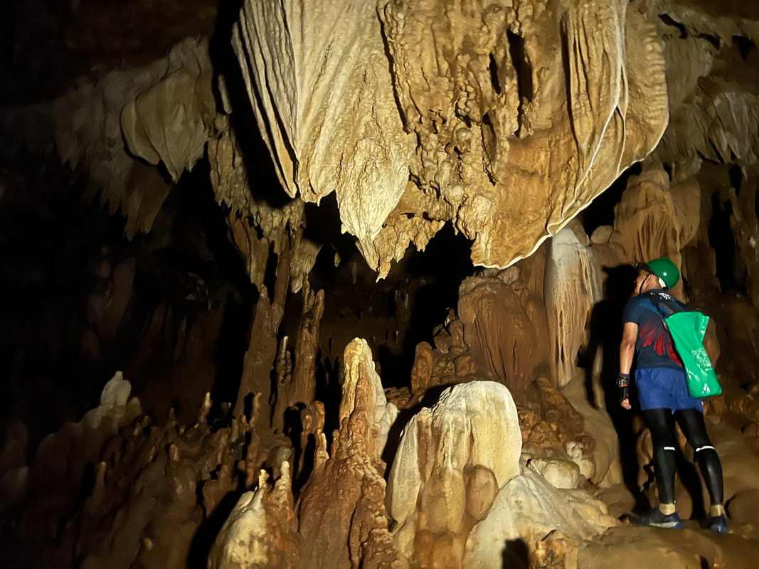 Guess what... this daytrip unlocked Nueva Vizcaya! Nueva Vizcaya is a landlocked province under the Cagayan Valley Region. It is bordered by three mountain ranges, the Sierra Madre, the Cordillera, and the Caraballo, that gives the province its rugged terrain features. Apart from being the gateway of Cagayan Valley, Nueva Vizcaya is a budding eco-tourism destination where you get to enjoy the peaks of its hills and mountains and what’s underneath it. Dupax Watershed Forest Reserve (Dupax del Sur) Our first stop for the day is a protected area tucked within the municipality of Dupax del Sur. The Dupax Watershed Forest Reserve is a 425-hectare forest protected under Presidential Proclamation No. 720 that was signed in August 1934. The reserve is under the management of the DENR and access to the park needs to be coordinated with them. The park remains closed to tourist since the lockdown and our group was lucky enough to be the first visitors since it was closed.  Dupax Watershed Forest Reserve is a protected area in Dupax del Sur.
The reserve redefines early morning exercise with its hike trail. It was refreshing to breathe in the cold morning air and hear the rustling sound of fallen leaves as you hike down the main artery of the forest. Our guides from the tourism and DENR local office, Jill An and Maricel, gladly walked us through the trail. The reserve has a Japanese Tunnel along the foothills of Mount San Vicente. The tunnel is believed to have an exit point at the St. Vincent Ferrer Church located at the town center.
The peak of Mount Vicente can be accessed easily by a concrete stairway from it base. “Climbing” the 360 steps to get to the top caught me off-guard as it was really steep. I had to pause along the way to catch my breath while enjoying the view of its forest cover below. They have pine trees in the area that gave that familiar pine scent. It reminded me of my childhood in Baguio.
Mount San Vicente or Mount Isnai stands at 600 meters above sea level and offers an amazing 360-panoramic view of the flatlands and rolling hills of Dupax del Sur and its surrounding areas. You get a full view of its forest covers, the town center, the rugged mountain ranges that borders Nueva Vizcaya, and its valleys. The low-lying clouds did not give us the opportunity to catch the sunrise but it did give us a dramatic and sober early morning vibe for our photos.  Enjoying the views while working my way up Mt. San Vicente.
The view atop Mount Isnai was a great reward after the challenging climb. The hike was a complete package to the senses from the views to the sounds of nature to the whiff of the pine tree. It was enough to give us that extra charge for a day of exploring. Dupax del Sur Town Center Dupax del Sur has a rich history. Its name is derived from the Isnai word “dopaj” which means “to lie down in complete relaxation”. The current site of the town was previously a campsite by hunters where they relax after days of hunting before heading home. Dupax was once the biggest municipality in Nueva Vizcaya before it was politically divided in 1974 creating Dupax del Sur and Dupax del Norte.
The poblacion of Dupax del Sur is encrypted with its history. You will find small monuments honoring the humble beginnings of Dupax from a camp site to its first Capitan del Pueblo. You will also find a Spanish-period flagpole made out of bricks. The flagpole was erected in 1873. San Vicente Ferrer Parish Church and Century Tree (Dupax del Sur) The San Vicente Ferrer Parish Church is an 18th century church that is located at the heart of Dupax del Sur. Completed in 1776, the church is one of the oldest in the country and its design is similar to that of the Tugegarao Cathedral. The church is one of two Spanish-period structures in the town of Dupax del Sur recognized as a National Cultural Treasure by the National Museum.  The St. Vincent Ferrer Church is recognized as National Cultural Treasure of the country. The church follows a baroque design with semi-arched door (first level) and windows (2nd level). The first level has two blind windows flanking the main door that features an image of the Holy Eucharist while the a niche honoring San Vicente is located right above the door. The top level of the facade features seven finials, with the middle featuring a crucifix. The three-story brick belfry sits on the right of the church. Each level bearing the year that it was completed - 1776, 1786, and 1788.
The interior of the church remains simple just like the church’s facade. The two level retablo has the image of the Crucified Christ as its central figure. Interestingly, there are two whitewashed columns at the entrance that supports the choir loft. Both columns feature reliefs of cherubims, floral designs, and shells. These are the same designs found in the church’s baptistry.  A view of the church's interior. The pillars is one of the highlights of the church because of its design.
The church has a sprawling courtyard. A huge century-old Acacia Tree can be found adjacent to the church convent. The tree is believed to be the only surviving tree planted during the Spanish-period and it is believed to be around 142 years old. The century tree is also believed to be on of the oldest in the northern regions of the country. Dampol Bridge (Dupax del Sur) A short walk from the church complex is another heritage structure in Dupax del Sur - the Dampol Bridge. Built in 1818 by the locals, the bridge is a single-arched unreinforced bridge that crosses over the Abanatan Creek. You can view the red-colored bricks from the side of the bridge that is similar to bricks used in the church. It was recognized as a National Cultural Treasure in 2015.
The whole area is now collectively known as the “San Vicente Ferrer Church Complex and Dampol Bridge of Dupax del Sur”. The church and the bridge remains to be the only duly-recognized cultural treasure in the province of Nueva Vizcaya. The rich heritage value of Dupax del Sur is now being pushed to be included in the list of Unesco World Heritage Sites in the country. Capisaan Cave System (Kasibu) From the peak of Mount Isnai, we went up for a challenge to explore what’s underneath the mountains of Nueva Vizcaya. The municipality of Kasibu, an hour away from Dupax del Sur, is home to the 5th Longest Cave System in the country - the Capisaan Cave System. This cave network spans a total traverse length of 4.2 kilometers from end to end. It takes an average of 4 hours to navigate through the network that will get you crawling and squeezing through small holes and, of course, getting wet and muddied. 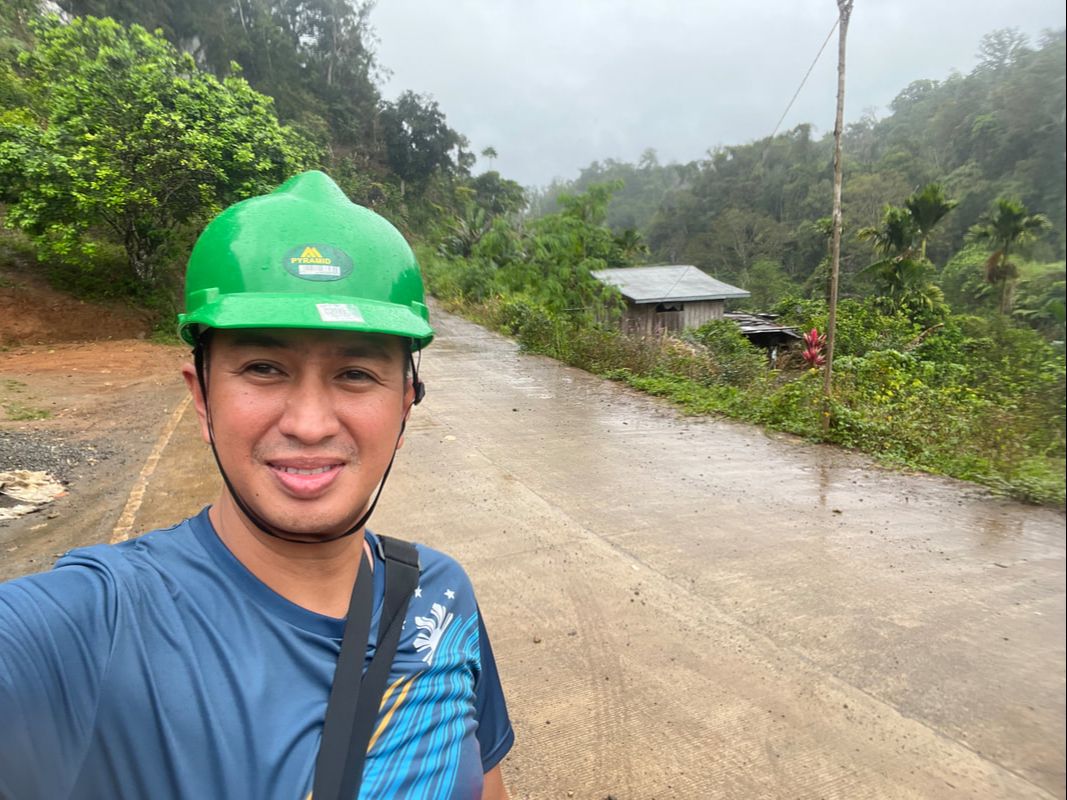 Getting ready to explore the 5th Longest Cave System in the Philippines. Our caving adventure started out at the Alayan Entrance where we were grouped into 4. The ratio of guide per visitor is 1:5 to allow guests to enjoy the beauty of the cave system safely. Although the cave system is not as challenging as that of Sagada’s, with its cliffs and drops, take all instructions by heart because the traverse has lot of river crossing of varying depths and can be physically challenging.
The Capisaan Cave System is said to be a “geologist’s paradise” because of its amazing stalagmite and stalactite collections and rock formations. This is where you will also find rare calcite formations. There is an abundance of flow stones, soda straws, and calcite rafts. I was really amazed by the soda straws because it was my first time to actually encounter this cool formation that is also hollow inside. It was a full 4 hours of just enjoying the art work that nature sculpted in thousand of years.
The through-and-through adventure is physically demanding. The first half of the spelunking will have you walking through cavernous “halls” while the latter part will have you crawling and duck walking. You get a full adventure of river crossing, rappelling up and down stone faces, squeezing yourself into a tiny hole, and crawling through crevices. At certain points, it requires a little flexibility to get through. Expect to get the usual cool down with its cold spring water because 70% of the cave has water.
As we made our exit at the Lion Entrance, we were relieved that we survived the 4-hour spelunking. It was exhausting, coupled by the fact that we had an early morning surprise hike, but seeing all the beauty inside the cave made the whole adventure worth it. I seldom get myself to do this kind of travel but this one is definitely for the books. You get to be physically active while connecting with nature through its artistry. Definitely something worth doing when you find yourself in Nueva Vizcaya. POST TRAVEL NOTES Nueva Vizcaya is not your typical tourist destination, not because it lacks beauty, but because the adventure that it offers caters to adventurous spirits. Most of its destinations are still not within the radar of the usual travelers, some are still up to be discovered. The province is off-beat and is ruggedly beautiful and it takes a keen eye to see and appreciate its raw and natural beauty. 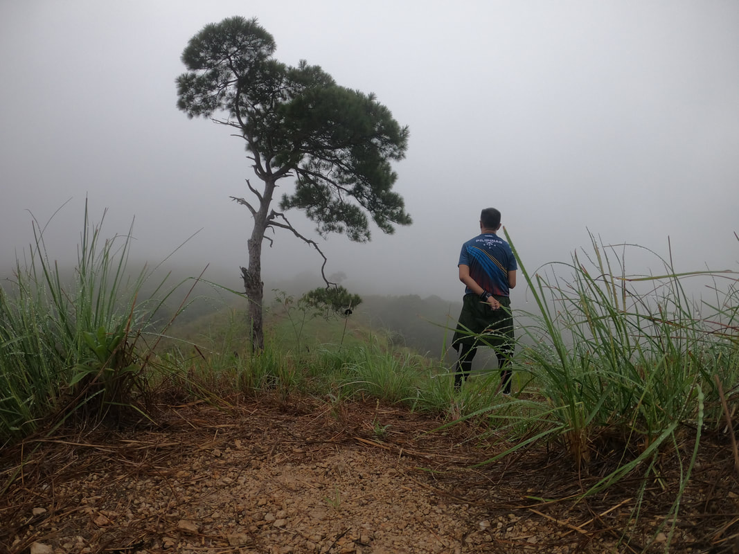 We are definitely back on the road to #GOT81. Finally… we are back on the #GOT81 travel trail after almost 2 years of hiatus. I still remember that fateful day when the lockdown was announced. I was in Hinatuan doing my usual province run when I had to rush back to Manila. We are slowly getting back to our usual run. We still have a few restrictions but let us not compromise health and safety. Together we can slowly rebuild our country. I have already started and it was good to finally have Nueva Vizcaya… unlocked! #StandTogetherPinoy Getting there: This trip to Nueva Vizcaya was organized by Tara Akyatan Na Adventure. I joined the organized tour for ease of travel to Nueva Vizcaya. Going DIY can be quite a challenge because of limitations on public transport. You can follow the FB page of the group for future trips to Nueva Vizcaya.
A lazy Saturday had me planning for a quick day escape. The city was starting to choke me so I was looking for a place where I can just enjoy the provincial feels and breathe in the fresh air. The province of Rizal was a good choice for this kind of quick and easy trip and I remembered on how much I wanted to visit again a Spanish-period church that was one of the most beautiful that I have seen in the country. Little did I know that the quaint town of Morong would spell out a different kind of fun. 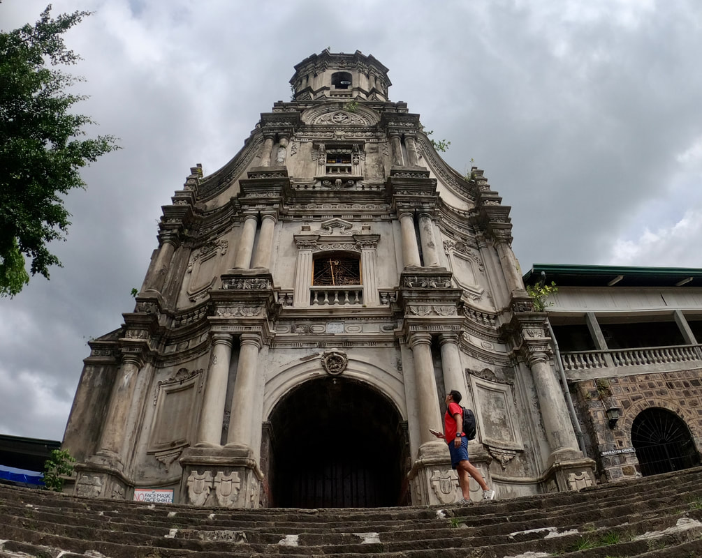 Morong is a great daytrip destination from the metro. Morong is the precursor of the present-day province of Rizal. This riverside town, along the shores of Manila de Bay, was first discovered in 1572 and was converted into a pueblo in 1578 by Franciscan missionaries. The towns of Baras, Tanay, Pililia, and Binangonan was under its jurisdiction. It was later re-structured in 1853 to become the Distrito de Morong with the towns of Jala-Jala, Angono, Cardona, Antipolo, Boso-Boso, Cainta, and Taytay added to its political jurisdiction. The present-day Morong remains to be a quaint and relaxing town. Except for a historical marker in town, it is void of any reminders that it was once a “kabisera”. It has managed to attract visitors by keeping its laidback and provincial vibe. St. Jerome Parish Church (Morong Church) The St. Jerome Parish Church, more popularly known as Morong Church, is a Spanish-period Catholic church completed in 1620. It sits on an elevated portion of the town that keeps it safe from flooding along the banks of the Morong River. The church is dedicated to St. Jerome and is home to two of the saint’s relics. 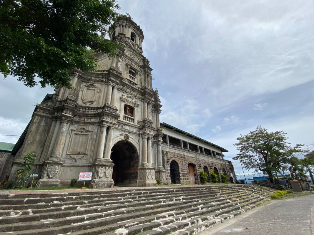 The St. Jerome Parish Church is the main tourism draw of Morong. The bell tower and facade of the church is the most striking feature of the Morong Church. The baroque revival-style features intricate stone carvings that gives the facade an elegant and dynamic look. The belfry dominates the town skyline and an illuminated cross serves as a guide for fishermen on Laguna de Bay. Interestingly, the three-story facade was only built from 1850 to 1853 by Bartolome Palatino of Paete, Laguna and Chinese craftsmen. 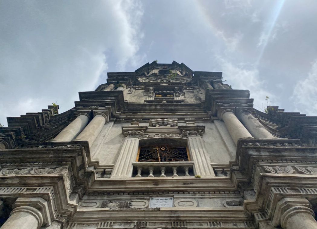 The facade of the church is one of the most beautiful in the country with its intricate stone carvings. The simple interior of the church stands out with its simple retablo. The dome of the church is both adorned by glass-stained windows and the paintings of the 4 evangelist - Matthew, Mark, Luke, and John. A side door leads to a prayer chamber adorned by images of saints and the image of a dead Christ. I took notice of an artwork of Jesus Christ with a farm scene as a backdrop, however, there were no available information about the painting. The church’s altar is also home to two relics of St. Jerome. One is buried beneath the altar while the other relic sits adjacent to the image of St. Jerome on the left side of the altar.
Apart from its religious and aesthetic value, the church also played a role in history during the Filipino-Spanish War. The church became the last fortress of the Spaniards stationed in Morong after they were attacked by Filipino civil guards. It became the fort of the Spaniards before they surrendered to Katipuneros on August 19, 1898. Morong Bridge Not far from the church is a bridge where the original Morong bridge once stood. The Punta de San Geronimo was built from 1696 to 1701 under forced labor. The bridge, that arched over the Morong River, was made of adobe stones and cemented with sand, lime, molasses, and the juice of the puso-puso leaves. The bridge was intentionally destroyed by Filipino guerrillas at the start of World War 2. The act only delayed the occupation of Morong by the Japanese. A steel and concrete bridge now stands on the site where the old bridge once stood. Morong Old Municipal Hall (Comandancia) and Tanghalang Francisco Feliciano I had no knowledge that Morong was once the capital of the precursor of the present Rizal Province. At the heart of the town stands the re-constructed Comandancia. The building, that was once made from adobe, served as the seat of power of the Distrito Politico-Militar de Morong. It was later used as a school building before it was torn down and re-built to serve as municipal hall of the town. 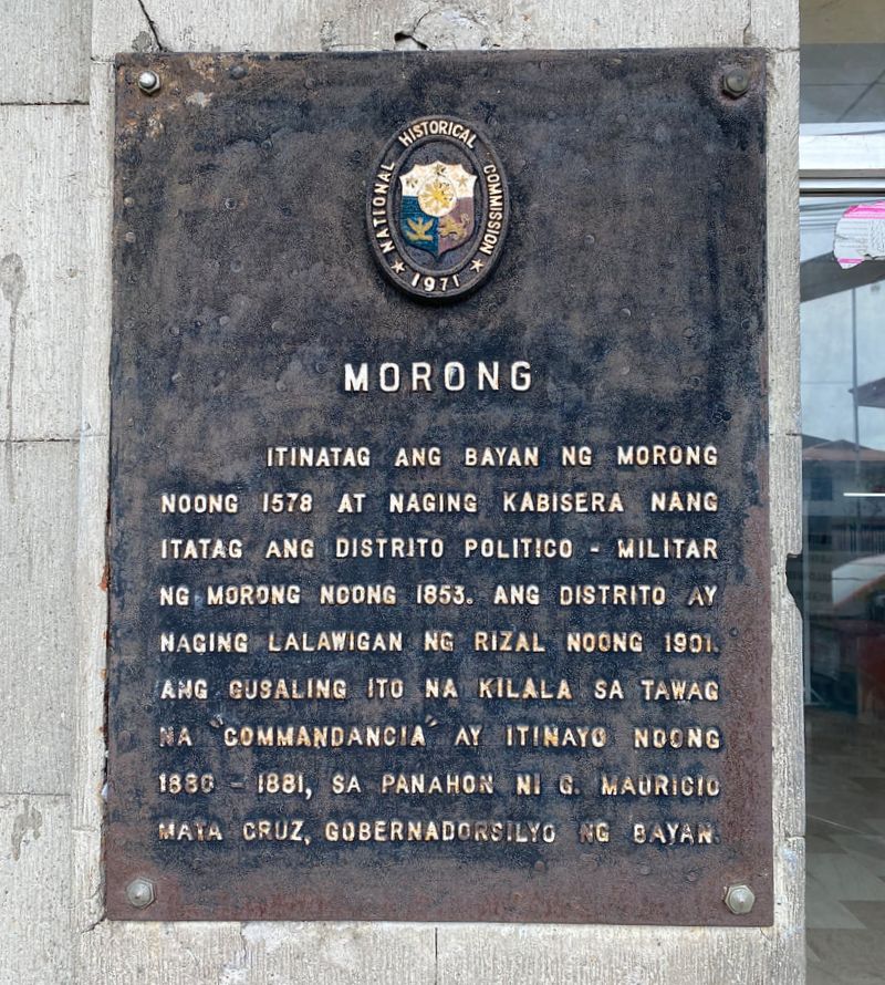 The historical marker of Morong indicating its historical contribution to Philippine history.
The Comandancia now serves as Morong’s town museum with the transfer of the government offices to the new municipal hall. It also bears the historical marker of the town of Morong. The marker outlines that Morong was once the capital of the province.
Adjacent to the Comandancia is an open space park that is known as the Tanghalang Francisco Feliciano. The town plaza, complete with an open space and a stage, serves as the a venue of town activities. It was named after the National Artist for Music Francisco Feliciano who hails from this town.
On one side of the plaza is a monument honoring the first Filipino to die overseas during an international conflict - Tomas Claudio. He also hails from the town of Morong and fought during World War 1. He met his demise while fighting in France and his remains are now buried at the Manila North Cemetery. Duckling Society Park and Puking Bato Located closer to the shores of Laguna de Bay, the Duck Society Park is a park located in the midst of the Morong’s rice field. The park is also popularly known as “Boulevard” and it is a favorite early morning and/or late afternoon spot for a quick run and stroll. The park gives you a panoramic and relaxing view of the town’s rice fields and the town. 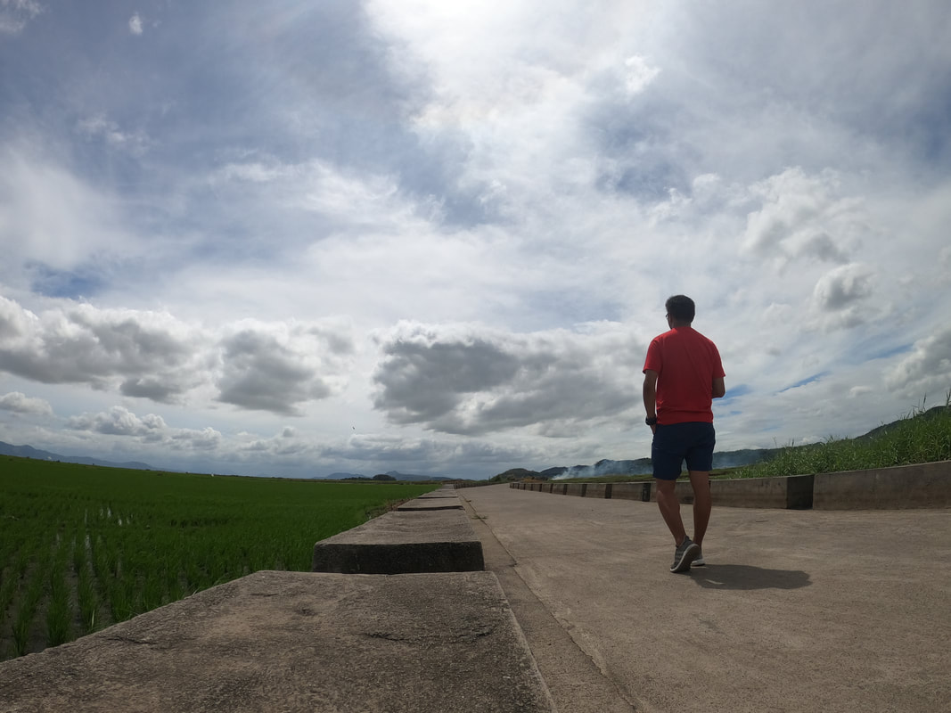 A relaxing view of Morong's "Boulevard" - a fave afternoon spot in town. I guess, it is mine, too. The park also has an interesting rock formation called “Puking Bato”. A local shared with us that the rock formation, when cleared of grass, is shaped like a female genitalia hence the name. The rock formation also sits in the middle of the rice field and was covered with grass so I was not able to see the actual formation.
I still have to figure out why it was called the Duckling Society Park. My guess is that it is a location where you also get to enjoy bird watching because the fields are good locations for birds to swarm in. I think migratory birds, and ducklings, frequent the surrounding rice fields of the park. The park, located at the center of the fields, is a perfect place to relax and enjoy the views. Cavalier Statue (Titing Kabayo) Further away from the town center is another statue that locals refer to as the “Cavalier Statue”. The statue sits on the fork of the road that features an armored knight with a battle axe mounted on a horse and on attack mode. It has become the symbol of the Barangay Maybancal. Locals celebrate the Cavalier’s Day every October 25.  The Cavalier's Statue at Brgy. Maybancal. The celebrate a Cavalier's Day every October 25.
Bikers refer to it as “Titing Kabayo”. As to why they call it as such, I will leave it up to you to discover. Zooming in on the picture may provide you the answers. Coffee Stop: Bukid Cafe Rizal is a hotspot for coffee lovers with its wide selection of coffee spots and an addition to this growing list is Bukid Cafe in Morong. While most of the cafes in area boasts of overlooking views, Bukid Cafe provides a relaxing place that perfectly combines a cup of coffee and the beauty of Morong’s countryside. The cafe was a perfect way to cap a day of exploring the town.
Tucked within the fields of Brgy. Bombongan, Bukid Cafe offers a laidback place to relax and enjoy a cup of coffee complete with the “probinsya” vibe. Think of it as an afternoon coffee session like you are at home in the province in the midst of the rice fields. You get to enjoy the rustic views of the Morong rice fields against the backdrop of Antipolo and Teresa’s mountainside. Definitely, a great place to wrap up a fun day of walking around Morong. POST TRAVEL NOTES If you are looking for a quick escape from the city that would give you that laidback vibe, Morong is a perfect roadtrip destination. Its old town charm and verdant rice fields views could easily snap you out of the city buzz and re-energize you. It slows you down and gives you that much-needed jumpstart especially when city life starts to choke you.  Excited to hit the road and explore again soon! One good thing on this roadtrip was getting re-acquainted with one of the most beautiful church in the country and finding out that Morong was the original Rizal province. Well, you always learn something new on every trip. These tidbits of new information never fails to impress me and makes an old destination become more interesting. I guess, I found me a new “charging” spot that is close to Manila. #StandTogetherPinoy Getting there: You can take a jeep or an FX for Baras or Tanay at EDSA Crossing. This is a faster option rather than taking a Morong jeep that will pass by the towns of Taytay, Angono, Binangonan, ad Cardona. Ask the driver to drop you off at the junction of Morong where you can take a trike to the town center. Tricycle is the way to go around when you are in Morong.
While everyone is trying to get all fixed and cheesy on Valentines’s Day, I found myself wandering in the most unlikely place - the La Loma Cemetery in Manila. This was a date that I gladly said yes when the opportunity was presented to me. It was a date with history and how it hopes to bring back to life one of the amazing heritage structures in the metro - the Lumang Simbahan of the La Loma Cemetery. 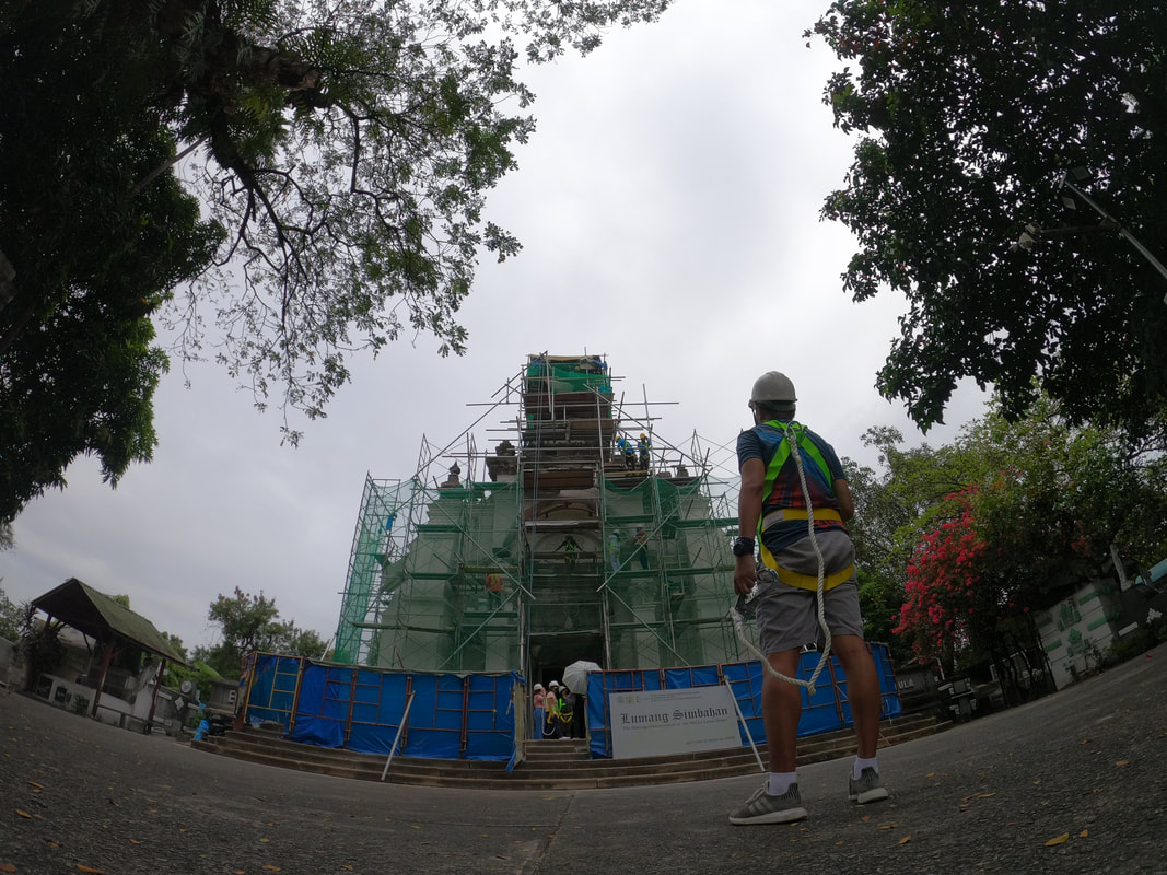 An unusual Valentine's Day date with history at the "Lumang Simbahan" at La Loma Cemetery. The Campo Santo de La Loma is a beautiful Spanish-period chapel located in the oldest functioning cemetery in the metro. Completed in 1884, it served as a funeral chapel until a new one was opened in 1962. It was used an office and mass celebrations were occasionally held here until it was locked and abandoned. At present, the chapel’s facade is undergoing restoration works with the hope that it is the beginning of its full restoration. La Loma Cemetery The La Loma Cemetery is a 54-hectare Spanish-period cemetery that was opened in 1884. It was originally called Cementerio de Binondo and was under the local district of Sta. Cruz. It was an exclusive burial grounds for Catholics during the Spanish period. It is the second oldest cemetery after Paco Park but it is the oldest in the metro that is still in use to this day. The cemetery sits along the borders of Caloocan and Manila with the diocese of both cities sharing jurisdiction. 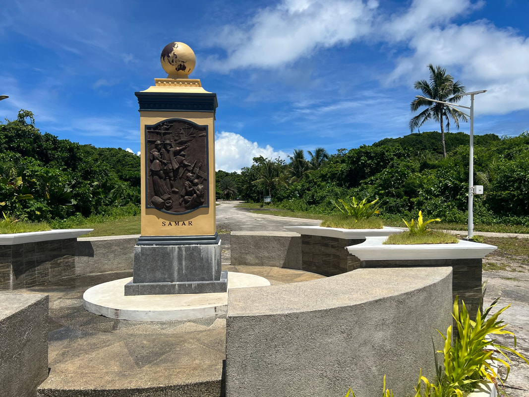 The La Loma Cemetery is the oldest functioning cemetery in the metro. La Loma is not your typical cemetery. Apart from its history, it is a microcosm of Philippine society where you get to see the line dividing the rich and the poor, even at death. It has a collection of grand mausoleums of the rich, the simple burial plots of the middle class, and the apartment-style niches for the poor. What will catch your attention when you visit La Loma are the beautifully designed family mausoleums, from baroque to art deco architecture. There’s even a mausoleum that has three floors! It was like entering a posh village of the rich and dead.
Apart from the mausoleums, the cemetery has a collection of sculptures of religious figures commonly seen on cemetery niches. These figures in various sizes give the La Loma Cemetery that classy and artsy vibe of the old times. It is like a space where you can time travel on how cemeteries evolved in the past decades. Capilla de San Pancracio At the heart of La Loma Cemetery’s history is the Capilla de San Pancracio or more commonly known as “Lumang Simbahan”. This campo santo was opened in 1884 and functioned as the cemetery’s funeral chapel until 1962. Apart from funeral services, the chapel also served as a fort by Filipinos freedom fighters during their fight against the Americans at the turn of the century. It is one of the few sites in Manila that escaped the destruction during its liberation from Japanese forces. 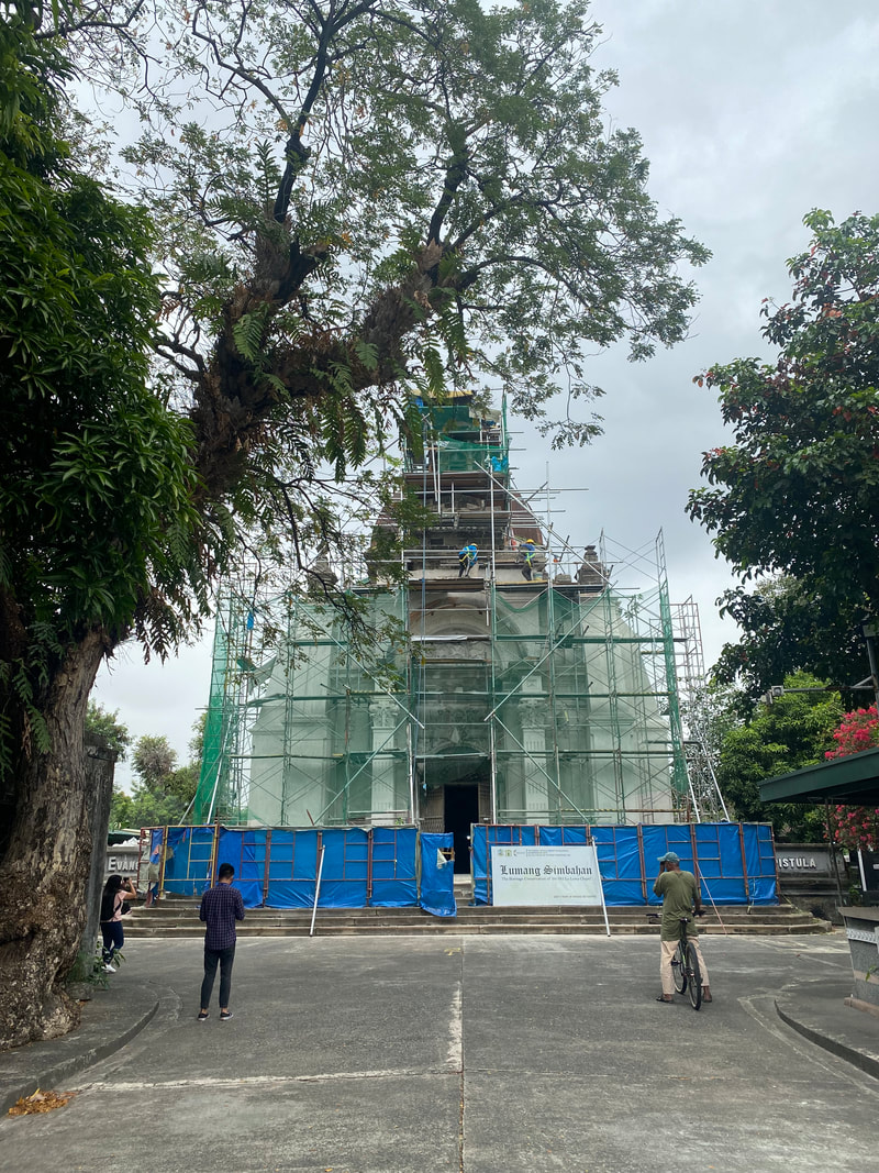 The Capilla de San Pancracio is a Spanish-period chapel that served as a cemetery chapel from 1884 to 1962.
The cemetery church is made from adobe blocks. The facade features intricate and detailed carvings giving it an elaborate and beautiful baroque look. The sides of the chapel is highlighted by buttresses similar to Franciscan churches which makes it sturdier against natural calamities like earthquakes. The dome of the chapel dominates the skyline of the “city of the dead” like a guard watching over its land. The front stairways are highlighted by stone marker bearing “Evangelio”, Spanish word for “gospel”. A circular carved inscription is found atop its front door bearing the words “Blessed are the dead who die in the grace of the Lord” in Latin. A couple of meters from the church are two stone columns where the original gate to the chapel once stood.
The interior of the church is as grand as its exterior. The black and white flooring tiles and the intricate carvings on its pillars gave it a classy look. The altar, with a Crucified Christ as its main figure, shows that the chapel was still in use even after it was de-commissioned. Two doors, adjacent to the altar, leads to the backroom of the chapel which once served as an office. One could also see some tombstones on the flooring but it is said that the bones of those buried inside the church were already exhumed and transferred. Restoration Project The chapel facade is undergoing restoration spearheaded by the Roman Catholic Diocese of Kalookan, in partnership with the Escuela Taller de Filipinas. The 4M project aims to restore the grand beauty of the chapel’s facade and, hopefully, roll out the full restoration of the capilla. The diocese understands the historical significance of the structure that is also recognized as a National Cultural Treasure. 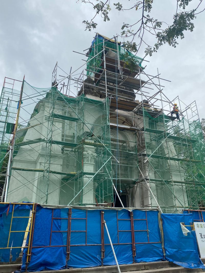 The ongoing facade restoration of La Loma's Lumang Simbahan is being facilitated by the Escuela Taller de Filipinas.
Architect Jeffrey Cobilla, OIC of Escuela Taller de Filipinas, walked us through the project that is now on its final stages of completion. He shared with us the tedious and delicate processes that his team had to go through to restore the facade. Interestingly, I learned that one of the biggest threats that heritage structures face is vegetation. Those small plants, shrubs, and even trees, that grow in this structures, that we find cute and we thought gave the structure a more “heritage” feel, does more damage than good. Its roots can erode and allow water to seep in through the crevices that it burrows through the structure. They shared with us that they cannot just pluck out or cut down the vegetation to avoid further growth. It is a slow process of applying herbicide and then carefully weeding the plant and the roots out.
The team also had to work through the “remedies” done on the structure by its previous occupants/tesidents. In the case of the Lumang Simbahan ng La Loma, the application of incompatible materials to the adobe structure, like cement, was not beneficial. Adobe blocks expand and contract with the weather and applying cement, as a quick fix for breaks and cracks, inhibit this particular “behavior” of the blocks. In the long run it damages the adobe blocks. The team had to carefully strip off these incompatible materials before they can work on the restoration.
Architect Jeffrey is confident that the Capilla de San Pancrio is structurally stable and that the full restoration is highly probable. The materials used to replace worn out blocks are similar adobe blocks sourced from Bulacan. Something to watch out for is how the team was able to restore most of the beautiful and intricate stone carvings of the chapel’s facade. The initial phase of the project is nearing its completion and is expected to be done by March of 2021. POST TRAVEL NOTES The restoration of the Capilla de San Pancrio is just the first phase of the full restoration of the chapel. It is not an easy task to plan and execute and the budget that go with it is in millions. That is why we need to raise awareness on heritage conservation because, with this awareness, comes the support for such programs. Restoration of heritage sites should be a collaboration between the government and the community. We need to ramp up our efforts to raise the needed investments before it becomes too late.  Let's see where the wind will bring us next. My unusual Valentine date at the Lumang Simbahan of La Loma Cemetery is definitely one for the books. It was a day of learning from the restoration walkthrough and the exchanges among heritage experts and enthusiasts. As an enthusiast myself, I realized that we, especially the local communities, need to get a basic understanding on heritage structure preservation so we can take concrete steps on long-term solutions rather than quick fixes. Again, these quick fixes do more harm than good. We need to take a more active approach in raising awareness on preserving and restoring the physical links to our colorful past because these beauties starts the learning and understanding of the present. #StandTogetherPinoy Getting there: You can take the LRT 1 and go down at R. Papa Station. You can walk to the La Loma Cemetery from the station.
2022 is off to a good start with my first travel goal unlocked. After being confined in the city for three weeks now, I started to feel the urge to get lost. I needed to get lost. There were a lot of options that I considered from urban hiking to nature hikes but, when I finally got the confirmation that I would be able to explore a destination that was on my list without any hitch, it was time to get lost in Malolos. 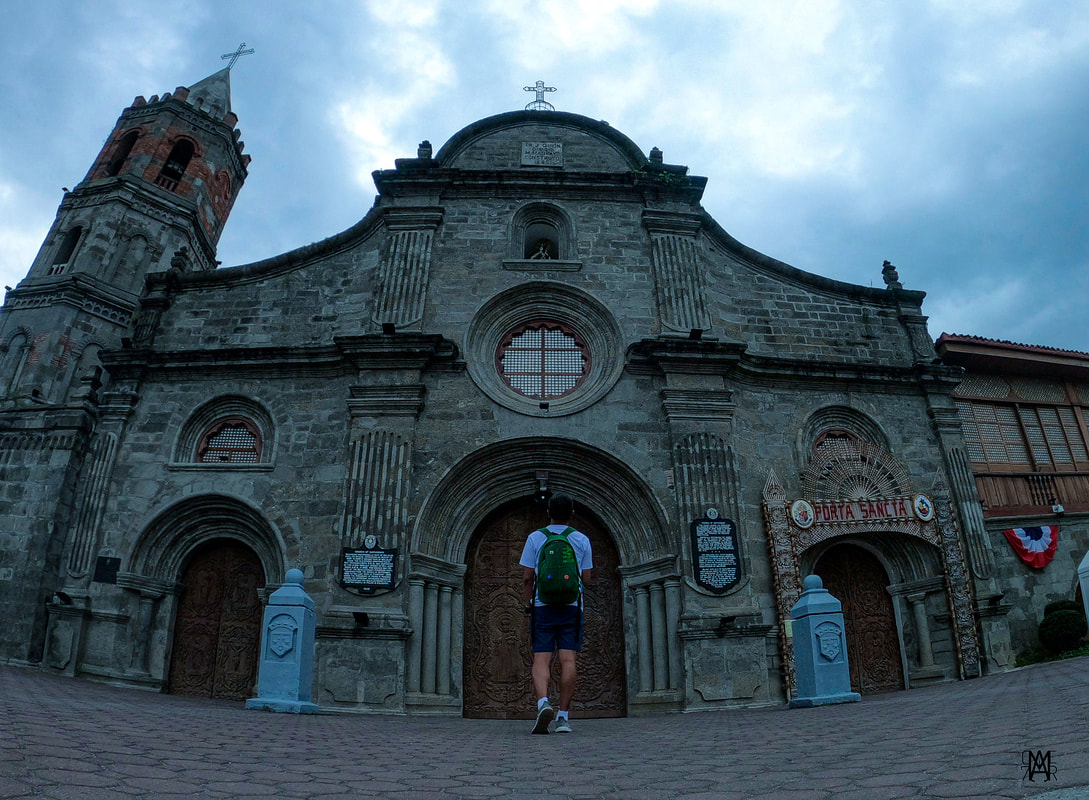 Starting the 2022 appreciating Philippine history while getting lost in Malolos. The historical town of Malolos is the provincial capitol of Bulacan. It is a town that has engraved itself in walls of Philippine history as the town where the Malolos Constitution was ratified in 1898, paving the way to the creation of the First Philippine Republic. It is a town that has kept the memories of the past alive with its well-preserved heritage structures that gives us a glimpse of its grand and colorful past. Join me as we take on a lazy afternoon stroll around the town of Malolos. Barasoain Church and Convent The Barasoain Church and Convent will be always be a historical icon in the Philippine. Completed in 1888, it is often referred to as the “Cradle of Democracy in the East” having been the site where the revolutionary congress ratified the Malolos Constitution that paved the way to the birth of the First Philippine Republic. It was also referred to as “baras ng suwail”, translated as “dungeon of the defiant”, by the Spaniards because it was a known as a meeting place of revolutionaries. 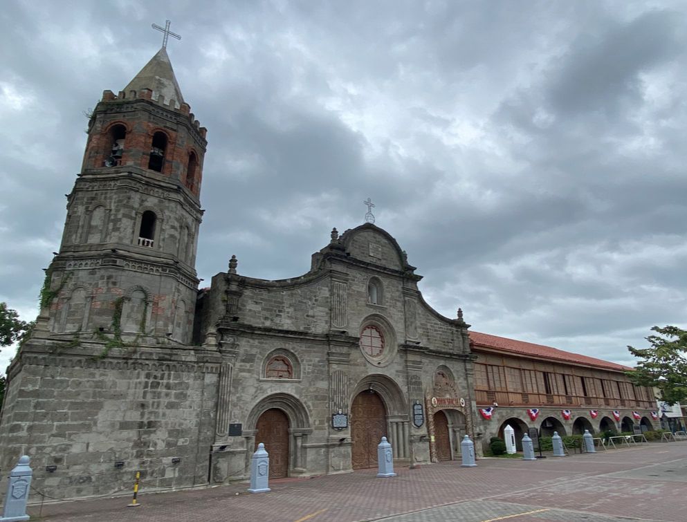 The Barasoain Church is a historical site where the First Philippine Republic. The Barsoain Church, with its structure and history, is a striking heritage edifice which is hard to miss in Malolos. Its simple baroque-renaissance facade and adjacent belltower dominates the skyline on this side of Malolos. A statue of Emilio Aguinaldo was erected on its parking grounds with a historical marker as the first President of the First Philippine Republic. Historical markers were also installed on the church’s facade that highlighted its historical significance.
The inside of the church was grand with its collection of saints that adorn the church. The two-tiered retablo was a beauty with an image of the Our Lady of Mount Carmel as its main centerpiece. It was in the nave of this church where representatives promulgated the Malolos Constitution creating the First Philippine Republic. I was lucky to have seen its beauty without the crowd. 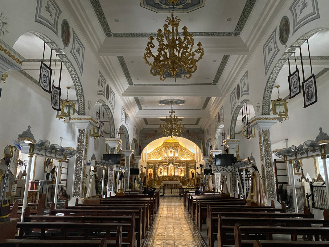 The beautiful interior of the historical Barasoain Church where the Malolos Constitution was ratified.
A section of the adjacent convent now houses the “Museo ng Republika ng 1899”. The museum is a collection of dioramas and pictures of events that lead to the birth of the First Philippine Republic. It was an interesting exhibit where you get to read the actual drafted Malolos Constitution and the participants who drafted the constitution.
The church and the museum was my main target for this trip. My fascination with history had me planning a short trip to Malolos for months now and it was only now that I had the opportunity to do so. It was a great to see this iconic church that once was featured in our 10-peso bill. Barasoain Catholic Cemetery A picture caught my attention while I was waiting for the museum to open. It was a picture of the Jacinto Mausoleum of the Barasoain Catholic Cemetery. I read about it when I was doing my research and I got interested but I had difficulty pinpointing its exact location. With the additional information and map from the church, I went for a quick walk following the map.
Initial information from my research indicated that the structure is the Jacinto Mausoleum. This Spanish-period family burial area was built in 1859 and, judging from its initial design and location, it can be mistaken for a simborio or a cemetery chapel. Unfortunately, the structure is undergoing a facelift and was given a more modern look. I was disappointed that its original design was not preserved. Honestly, I walked back to the church with a heavy heart. It was sad that another heritage structure was given a different look. We just lost another connection to our past. I really hope that we take on a more proactive action towards keeping our links to the past by saving and preserving these kinds of structures. Sayang talaga. Casa Real de Malolos A short walk from the Barasoian Church will bring you to a two-floor structure that was declared a National Shrine in 1965- the Casa Real de Malolos. Built in 1580, the casa served as the home and office of the Gobernadorcillo of Malolos, the Treasury of the Spanish government during the conflict with the British, and the National Printing Press of the revolutionary government. It was restored to its original look in 1980s with the help of then First Lady Imelda Marcos, former Minister Jesus Tanchanco, and former Mayor Purificacion Reyes. 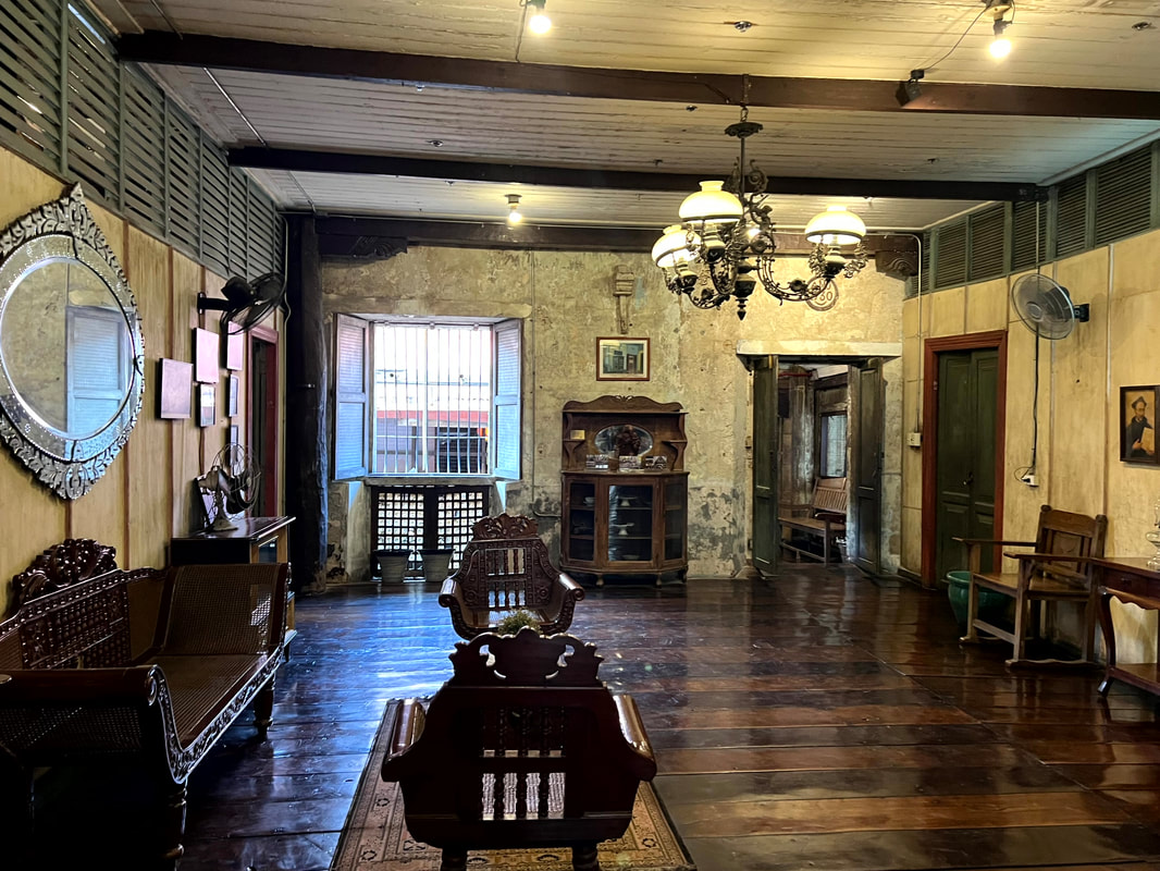 The Casa Real once served as the home and and office of the Gobernadorcillo. Casa Real de Malolos is now the home of the Museum of Philippine Political History. Its exhibit walks you through the progression of our political system from the pre-Spanish period to the present. The exhibits are a collection of visual arts and artifacts that walk you through centuries of information on how our political units and systems evolved from balangays to our current Presidential structure. The political evolution is aligned with the national events that pushed for these changes to happen.
They say that history is written by the victors and, in a way, it is true. It is very important that, when we look at history, we look at both sides of the coin - the good and the bad. It is like picking up a stick where we get both ends. It is important that we make judgement after we have weighed both sides. Malolos Cathedral and Kalayaan Tree At the heart of the Camestisuhan district of Malolos is another church that once served as the Presidential Palace of General Emilio Aguinaldo. The Malolos Cathedral is a historical stone church that saw the glamor and the struggles of this Bulacan town. It has seen how it evolved into a separate town in 1580. 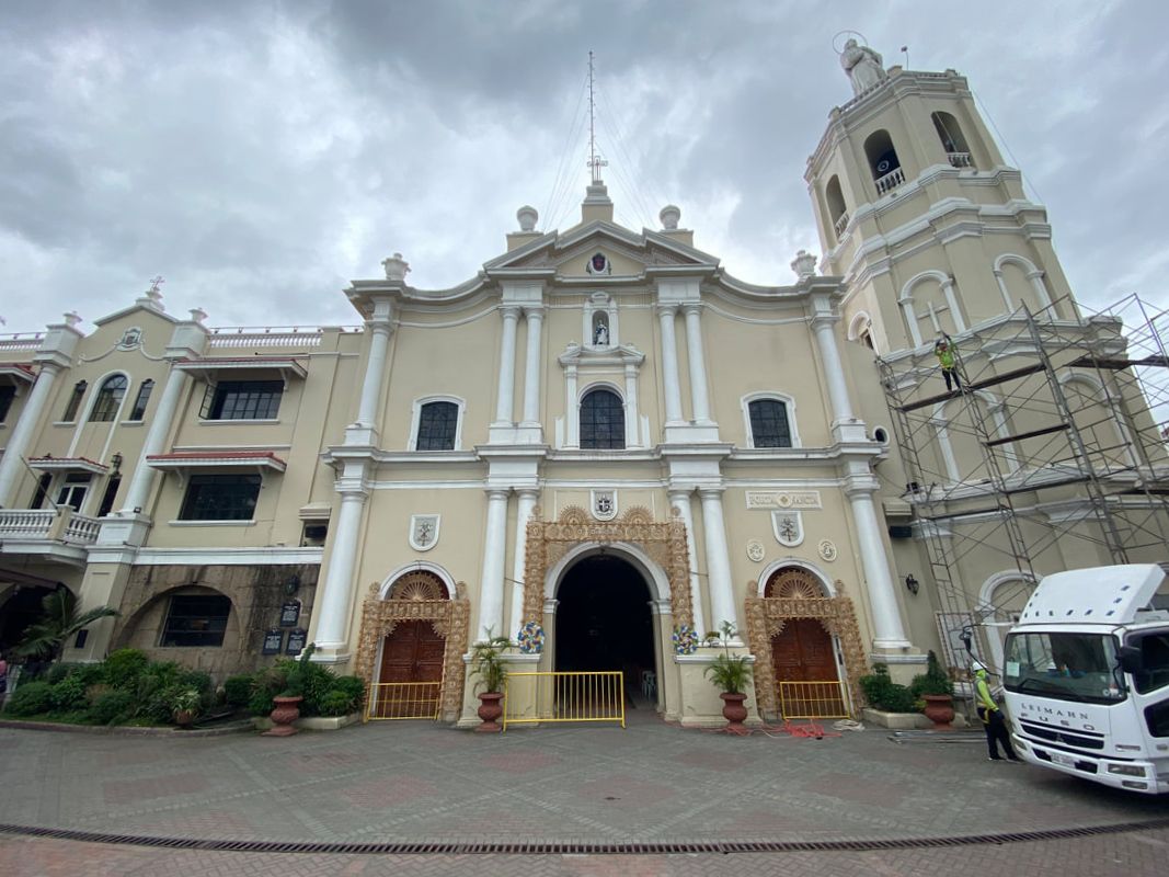 The Malolos Cathedral is another historic stone church at the heart of Malolos. The present stone church is the second to be built in its location. The first was completed in 1817 and was consecrated in 1826. However, the church and convent were badly damaged by earthquakes in 1863 and 1880. It was completely restored to its original state in 1884. The church was eventually burned down by the revolutionist in 1899 when Aguinaldo and his men had to abandon it as Americans troops advanced during Philippine-American War. You will also find the Kalayaan Tree on the patio of the Malolos Cathedral. The tree is a mute witness to the meetings held under its shade that eventually led to the birth of the First Philippine Republic. A life size diorama of Gen. Gregorio del Pilar, Gen. Isidro Torres, Don Pablo Tecson, Padre Mariano Sevilla, and Dona Basilia Tantoco in a political discussion was installed under the tree to showcase the relevance of this tree.
The Malolos Cathedral or the Minor Basilica and Cathedral of the Immaculate Conception of Malolos has seen the smiles, exchanges, and tears shed in our pursuit for our independence. To this day, it remains to be an inspiration of faith and hope, not only for its locals, but for those who visit the town. Camestisuhan District of Malolos The Camestisuhan District is an area in downtown Malolos where you get to see a collection of well-preserved Spanish and American period ancestral houses. The area, which covers the barangays of San Agustin, Santo Nino, and San Vicente, was declared a National Historical Landmark in 2001. Exploring the Pariancillo gives you a glimpse of the grand lifestyle of its residents during its heydays. From the Barasoain Church, the first two houses that will catch your attention are 1893 Jose Cojuangco House, the birthplace of the Cojuangco patriarch, and the 1812 Antonio Bautista House along the Paseo del Congreso Road. The Bautista House, adjacent to Casa Real de Malolos, is the oldest house in the Camestisuhan district. It was built in the 1850s and was inherited by Don Antonio Bautista, Gen. Aguinaldo’s Secretary of the Interior.
The Malolos Bridge/Tampoy Bridge is a Spanish-period bridge that dates back to 1817. It serves as a bridgeway leading to the Malolos Town Center. The town of Malolos follows the same community structure of other old Spanish towns where the center of governance, religion, and commerce are at the center of town. The Malolos City Hall stands beautifully, with its neo-classical design, at the heart of town. It was built in 1940. Adjacent to the church and the public market is an American-period water tower built in 1923. The Aguas Potables de Malolos once served its residents with safe and potable water. At the back of the Malolos City Hall is a small side street that runs along the Tampoy River/Malolos River. There are two heritage and ancestral houses found here - the Abad House and the Don Ramon Gonzales de Leon House. The Gonzales de Leon house was built in 1923 and was the home of Gobernadorcillo Don Ramon.
Heading out to one of the town’s main artery, Jacinto Street is home to some heritage/ancestral houses that were adaptively re-used. The first floor Spanish-period houses of Don Erasto Cervantes and Don Fausto Chiong have the first floor converted into commercial spaces while the Gobierno Militar dela Plaza, the ancestral of Dona Gregoria Adriano and the site of the Military Government led by Gen. Torres, is now the Malolos Office of Meralco. The Casa Tribunal de Malolos is also found in this street. It was originally the ancestral house of the Adriano family before it became the Municipal Hall (1859) and Municipal Jailhouse (1898). The postwar movie house Eden still stands to this day but now functions as a retail shop. Further down the road is the Spanish-period Crisostomo House.
Turning right on the first street, you will find yourself at Santo Nino. At the end of the street, you will find the historical marker on the site where the Bahay Paaralan ng mga Kababaihan once stood. Jose Rizal sent a letter addressed to the 21 women of Malolos. As you turn right, you will be treated to row of heritage/ancestral houses like the Don Jose Bautista Ancestral House where he was born. He was the Secretary of the Interior of General Emilio Aguinaldo.  The historical marker indicating the location where the Paaralan ng mga Kababaihan ng Malolos once stood.
Turning left on the side of the Malolos Cathedral, you will find yourself walking the long stretch of the busy street of F. Estrella. You would come across the Iglesia Filipiniana Indepiendente, the cathedral church of the Aglipayan built in 1903. You will also find the Spanish-period church, Capila de Nuestra Senyora del Santisimo Rosario de Malolos, built in 1870. Further down the street is the Malolos Central Elementary School which was built in 1913 under the Gabaldon-type schoolhouse design.  Dr. Johny Reyes House along F. Estrella. I tool a right on Sampaguita Road and turned right again to the first corner to explore FT Reyes. One of the houses that really impressed me on this side was the Dr. Luis Santos Art Deco House. It was built under the art-deco design in 1933 and served as a clinic for those who were injured in WW2. The house is home to two cultural properties - the fountain in the garden was sculpted by National Artist Guillermo Tolentino and ceiling mural “The Seven Muses” on the second floor was painted by National Artist Fernando Amorsolo. You will also find the Hermogenes Reyes House and the 1914 Alberta Uiytangcoy-Santos House on the same area. Going around the Camestisuhan District was an exciting experience with me. Armed with pictures of these houses, I had fun looking and matching the pictures with the actual houses. I enjoyed seeing the houses from the outside and hoping that one day I get to see the interiors, as well. Bulacan Provincial Capitol Located along the McArthur Highway is the sprawling Bulacan Provincial Capitol. The Capitol Building is also part of its built-heritage. Built in 1930, the building follows the art-deco design and was done by Juan Arellano and William Parsons.  The art deco Bulacan Provincial Capitol Building in Malolos.
Fronting the Capitol Building, the Capitol View Park honors two Bulakenos. The statue of Marcelo H. del Pilar sits at the front honoring the “Father of Philippine Journalism”. The other Philippine hero honored here is Gregorio del Pilar, more commonly known as Goyo. The young general is depicted here atop a horse getting ready to attack. The installation also holds the remains of the the hero of Tirad Pass. The park also has a mini-forest adjacent to the view park. The park also features The Propagandista Truimvirate honoring the 7 Bulakenos who were influential in the revolution. Old Malolos Train Station This bahay-na-bato design train station was part of the old railway system that connected Manila and Dagupan. The station was opened in March 1891 but the train services commenced only in November 1892. The station and the services were de-commissioned in 1988. From then on the station was neglected. 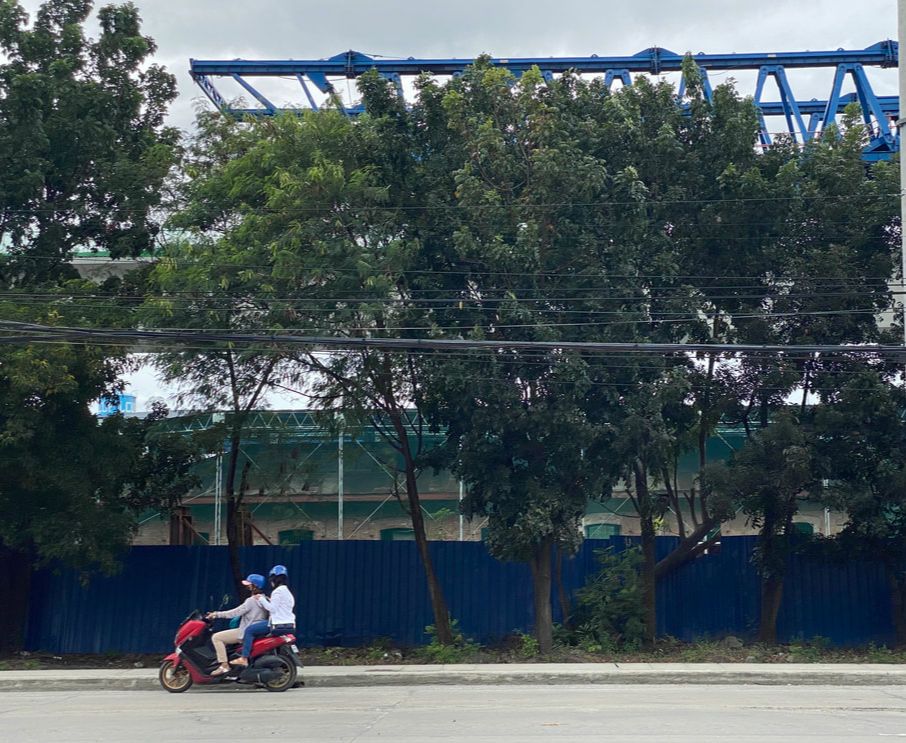 The historical Old Train Station of Malolos is getting restored with the current railway project that will connet Clark and Manila. With the present revitalization of the railway project by the government that would connect Manila and Clark, the old train station is getting the needed attention. Part of the project is the restoration of the historical train station. I am excited to see and visit it once it is restored to its original design. POST TRAVEL NOTES Finally… I have managed to pull off a quick trip to Malolos! I enjoyed walking its streets and exploring the history and the story behind its well-preserved heritage/ancestral structures. History comes alive when we see the actual place and it gives that extra flavor on what we usually just read from books. Ngayon ko na-appreciate yung value ng field trips.  We should learn from history but it should not slow us down. History shows us both the good and the bad. It is like a stick that, when we pick up, we get both ends. We need to see the big picture logically and strike a balance in the way we make our judgement. It is only when we view it impartially that we get to free ourselves from the chains of the past. Yes, we learn a thing or two from history but we must not let our past slow us down. #StandTogetherPinas Getting there: You can take a P2P bus from Trinoma to Robinsons Malolos. You can then take a jeep or tricycle to downtown Malolos or Barasoain Church.
|
Marc del Rosario
I believe in education, entrepreneurship, and caring for the environment. Archives
April 2024
|
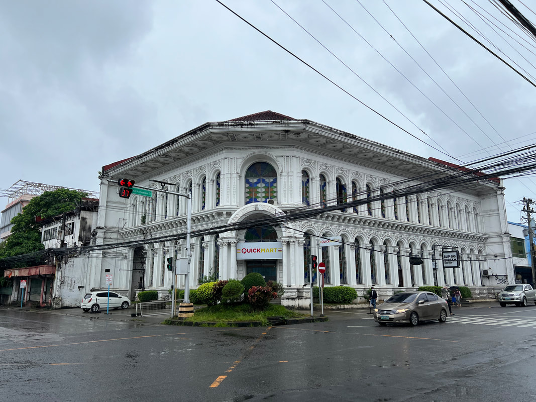

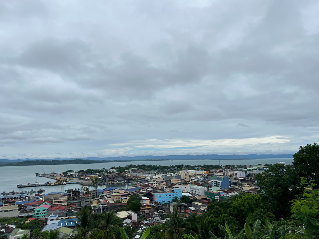
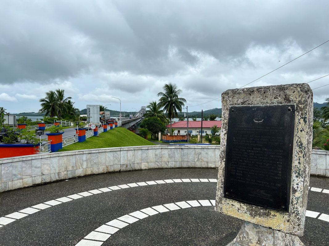
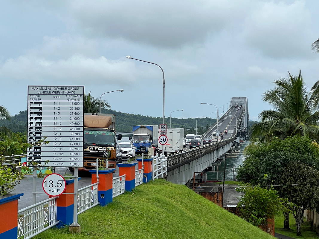

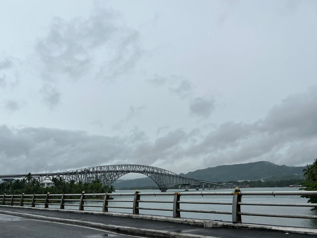
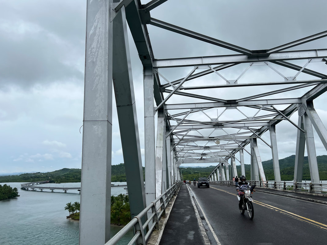
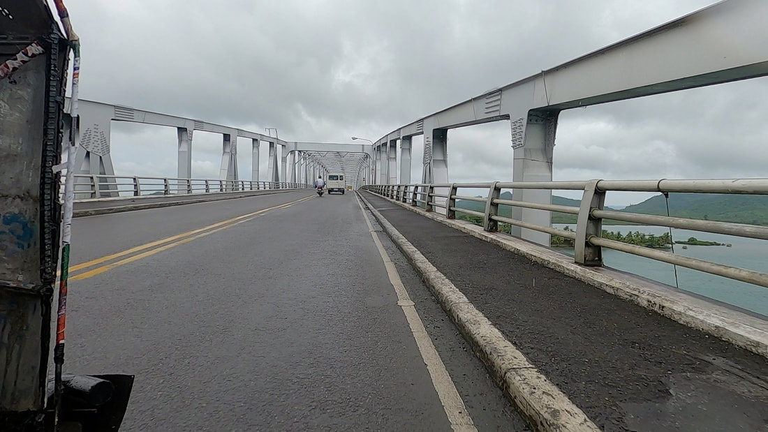
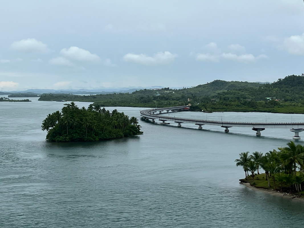
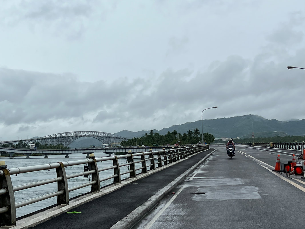

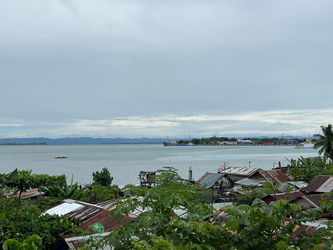
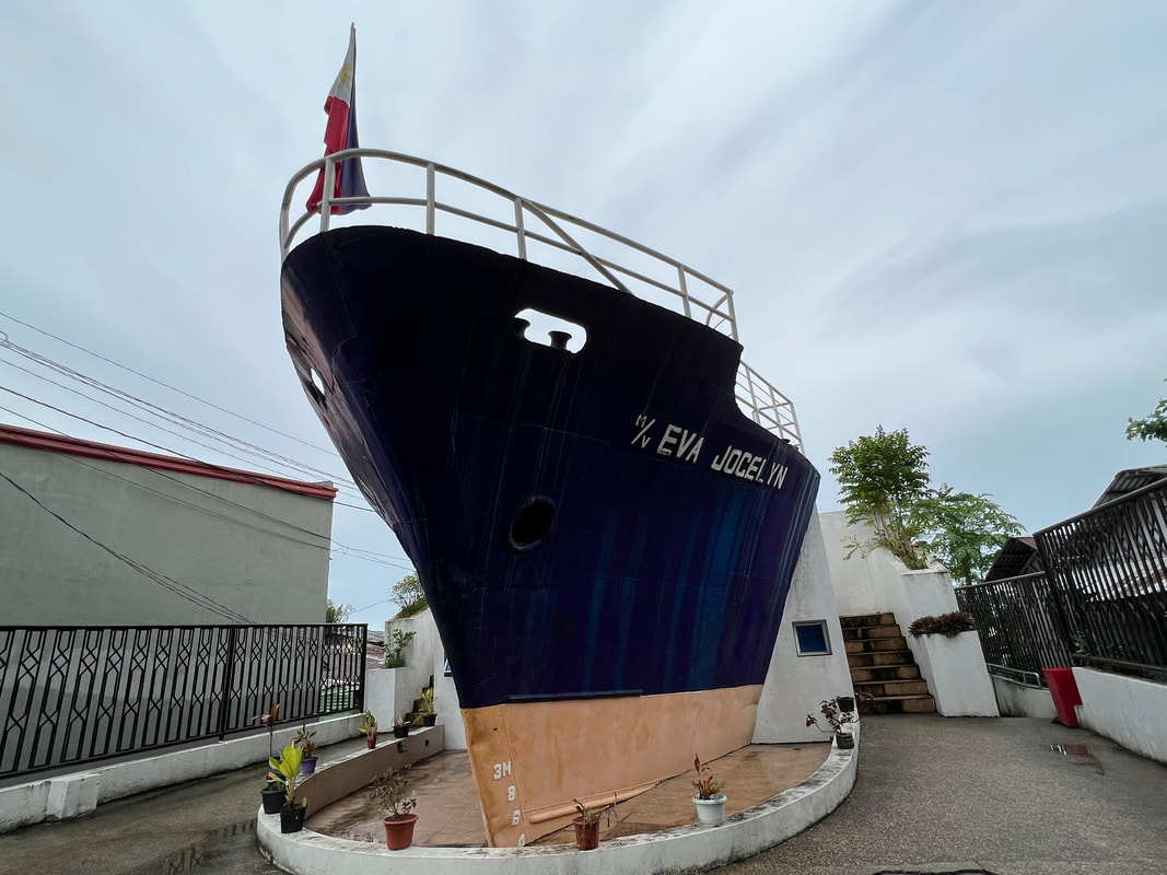
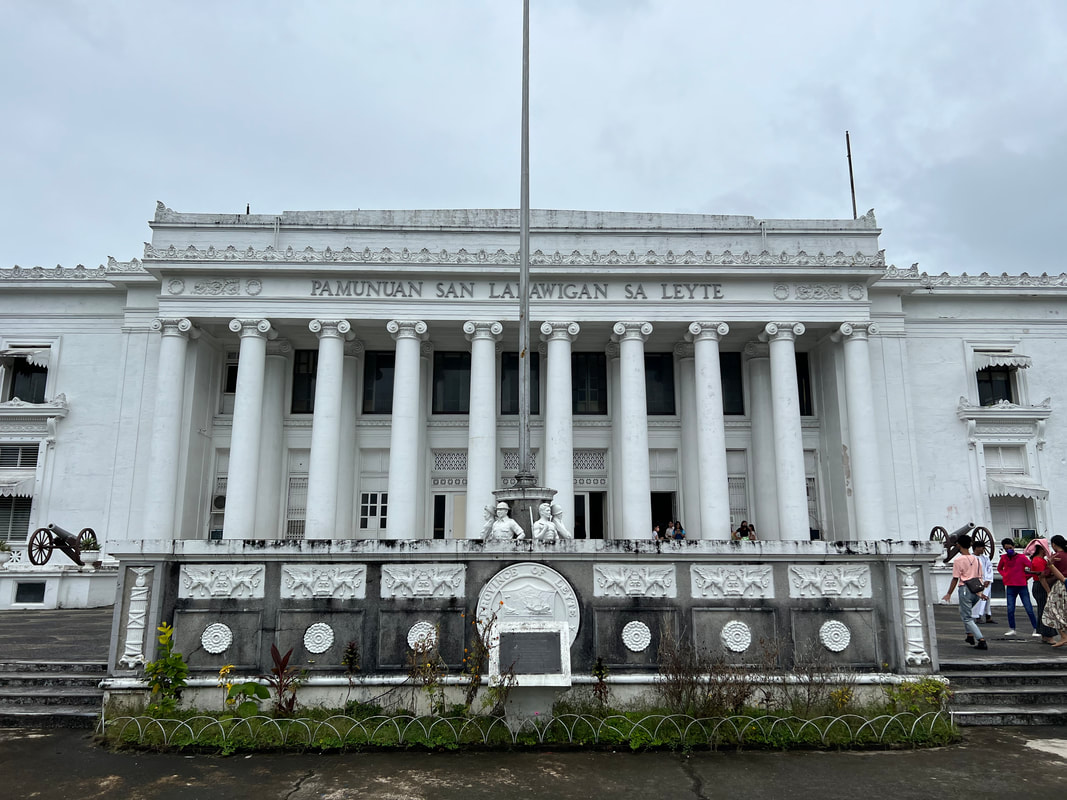

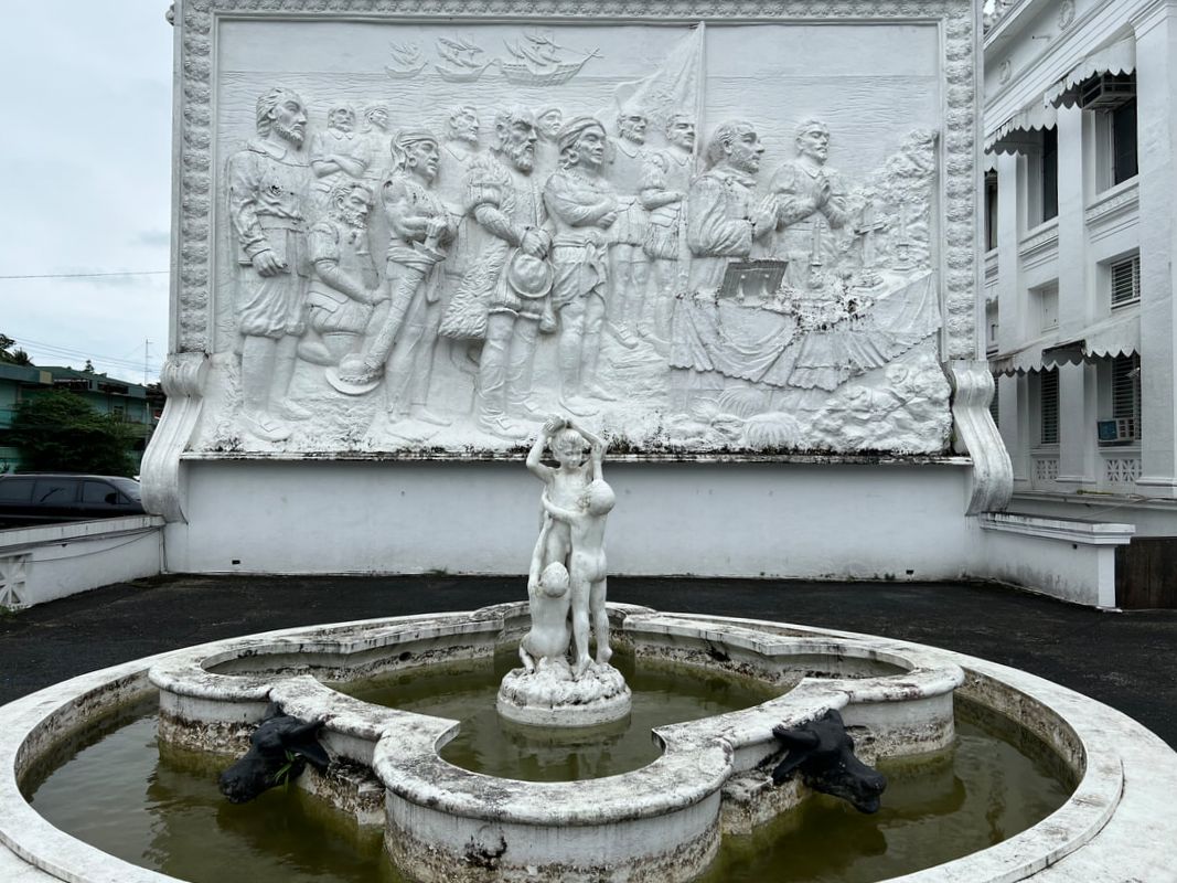

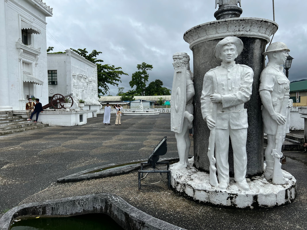
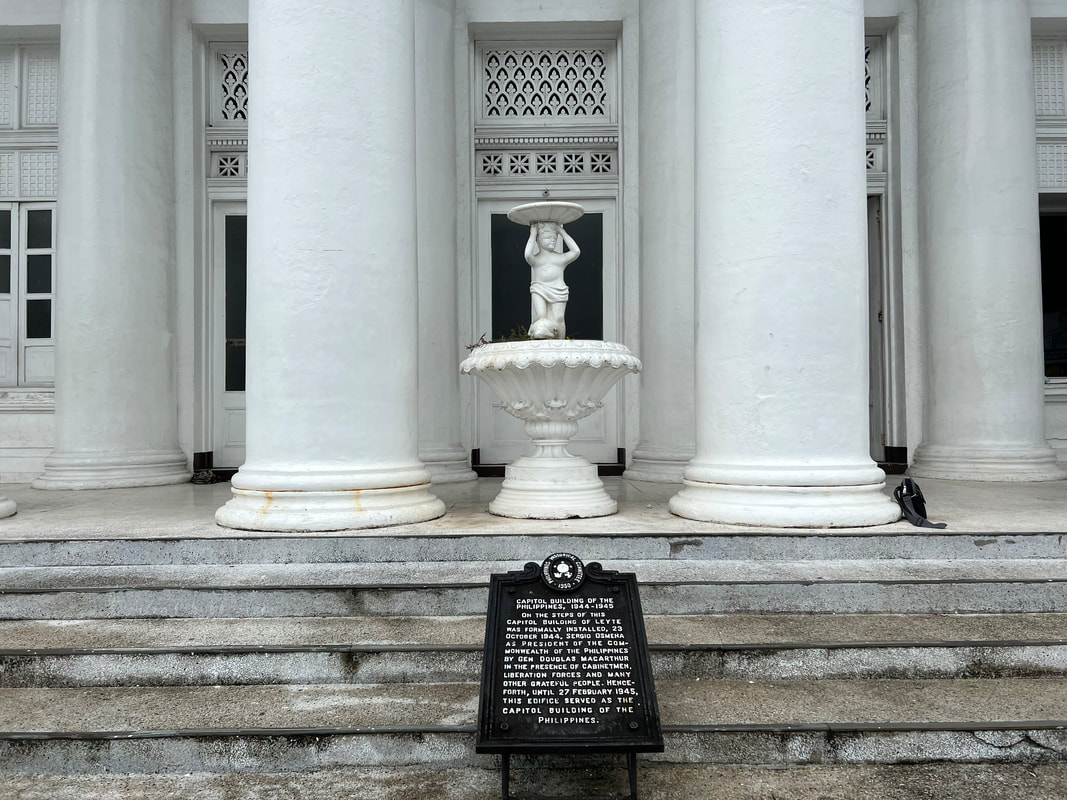
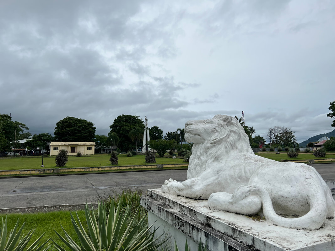
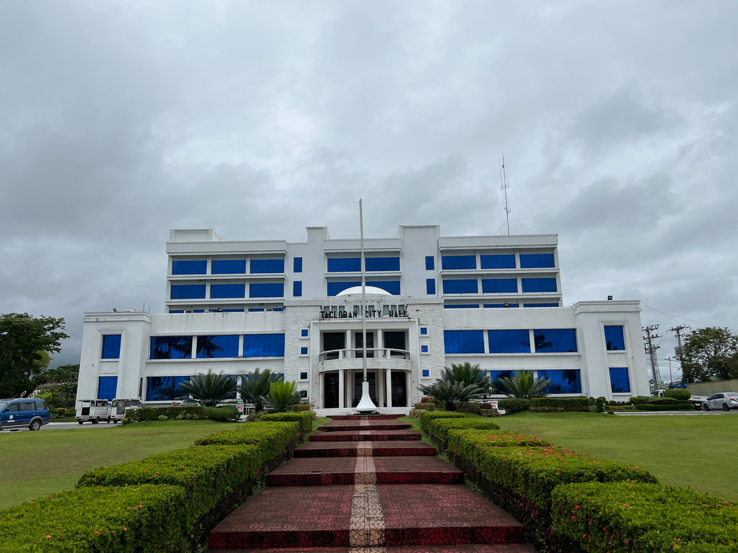
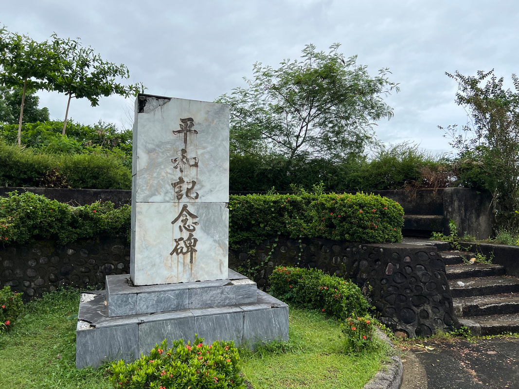
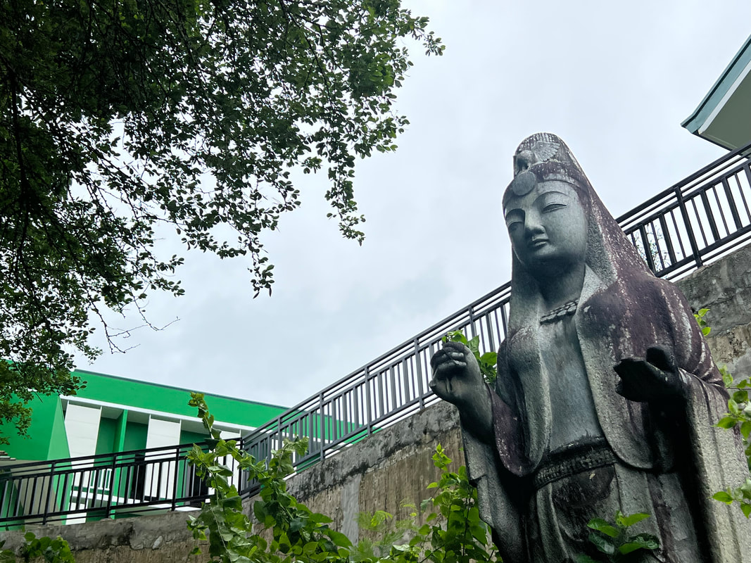
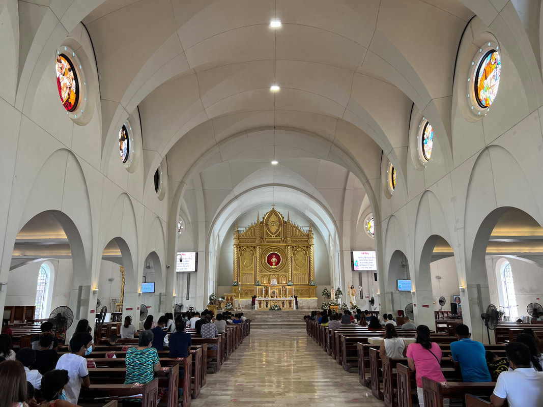

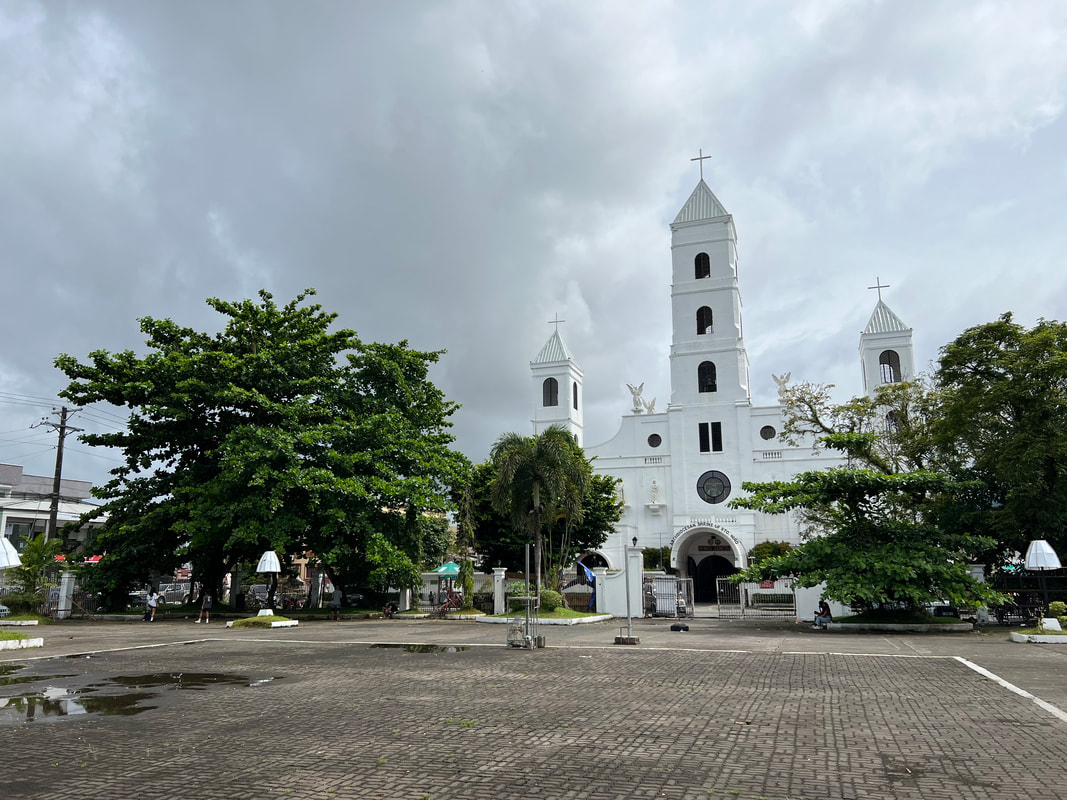

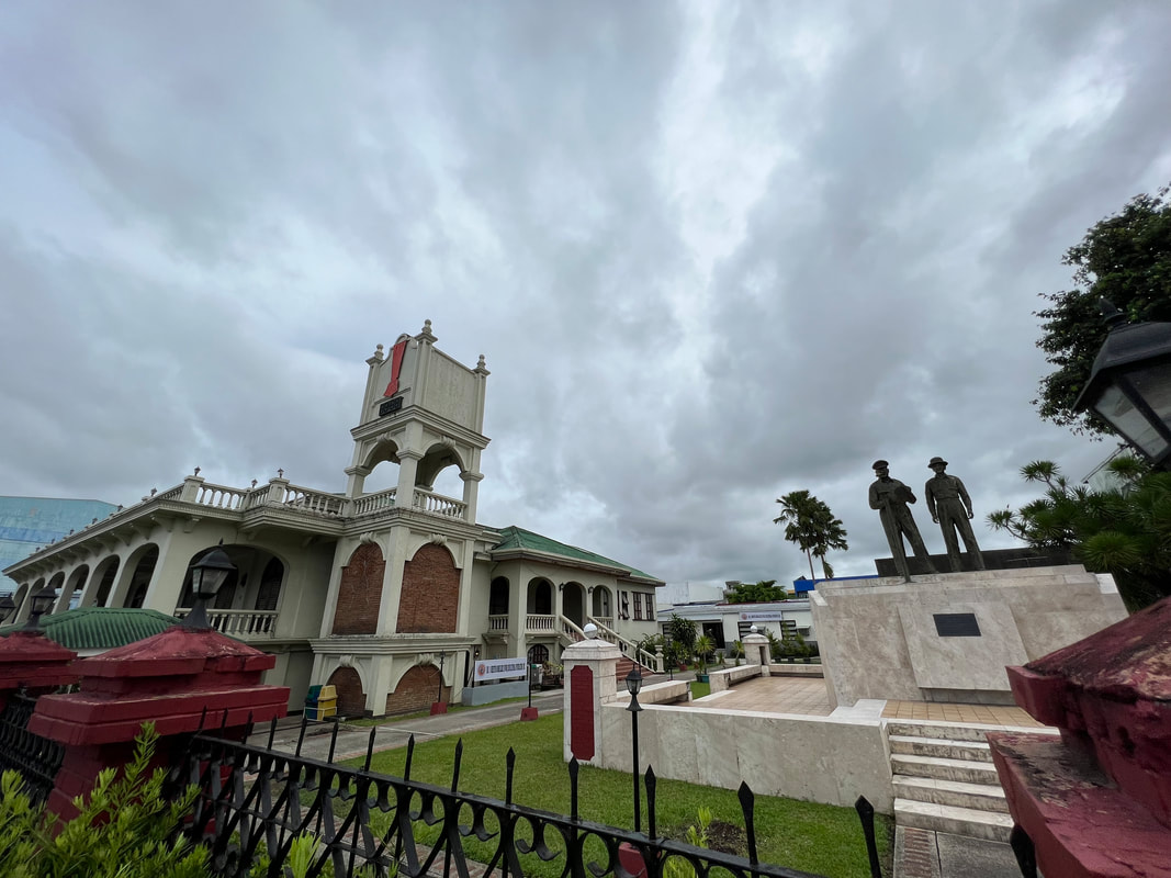
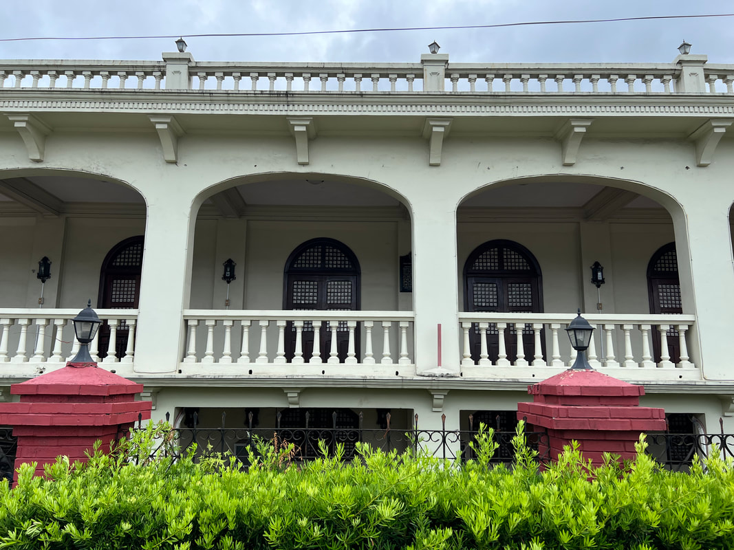
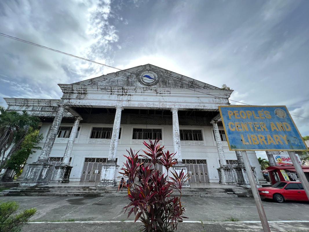
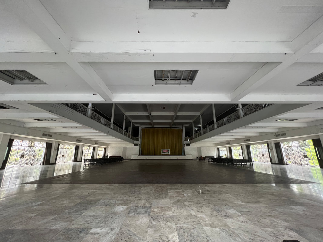
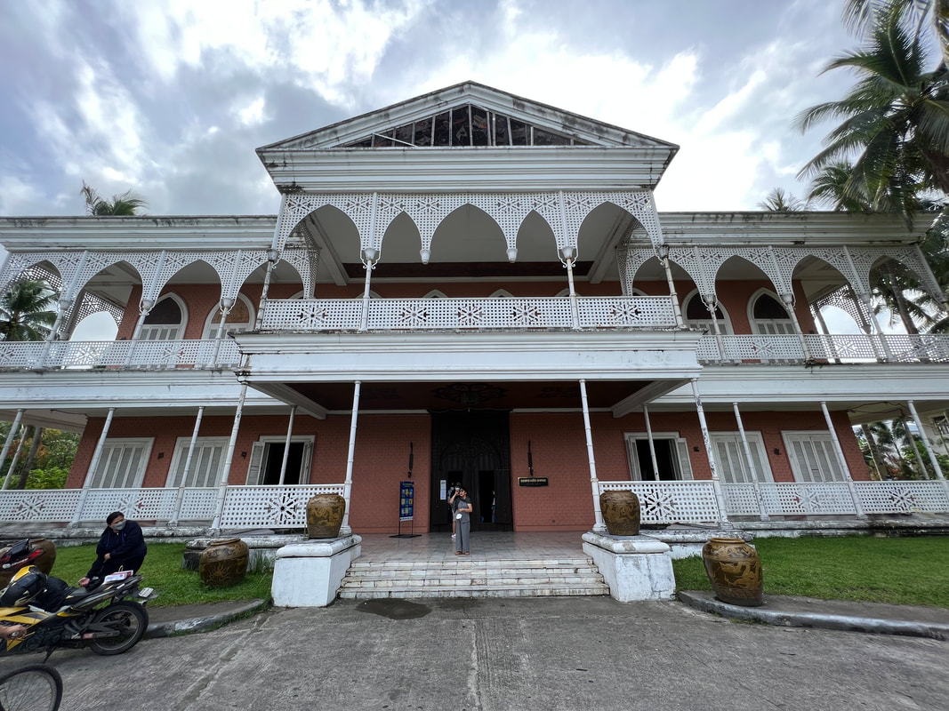
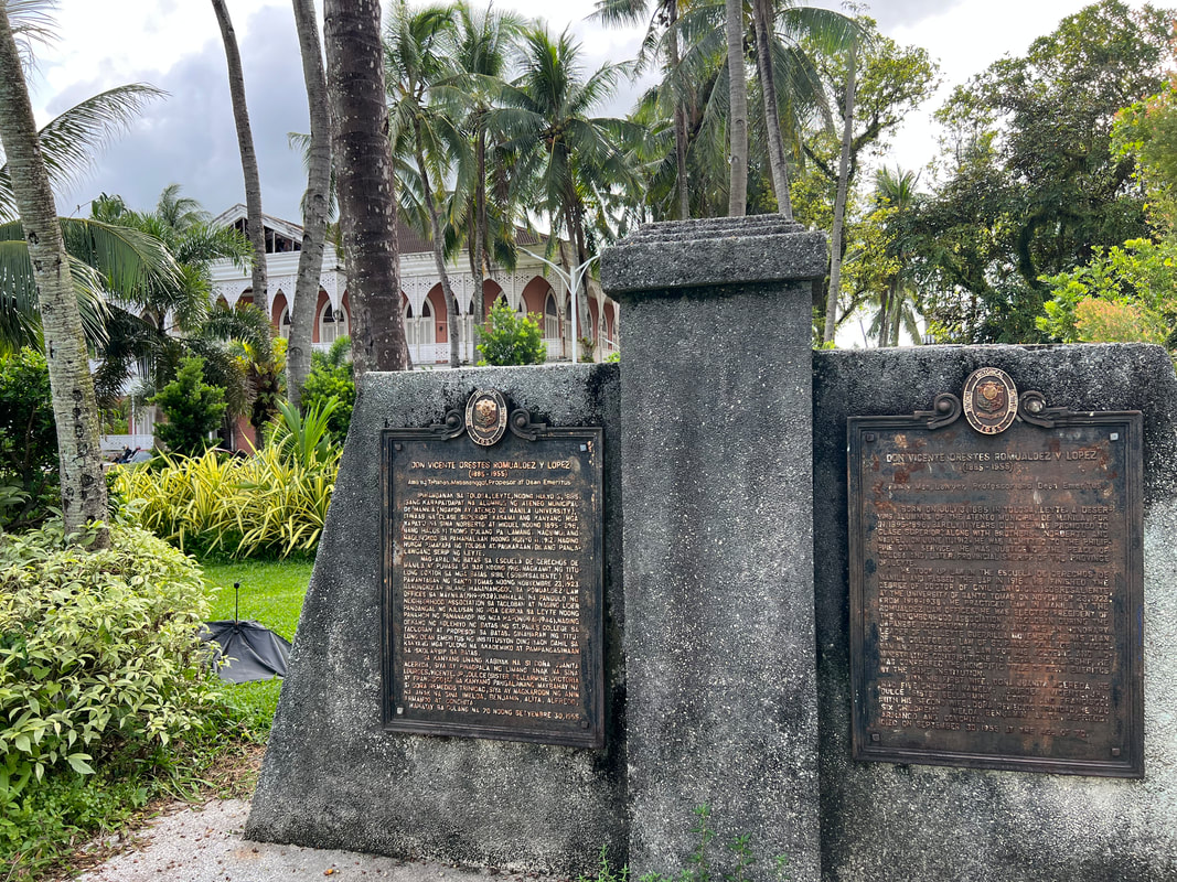


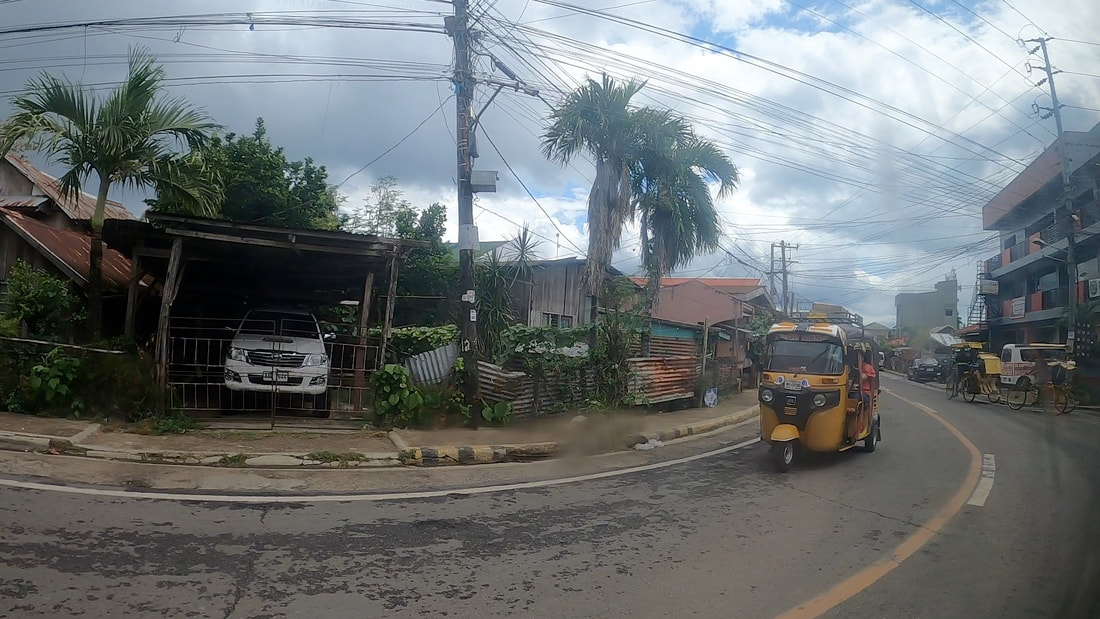


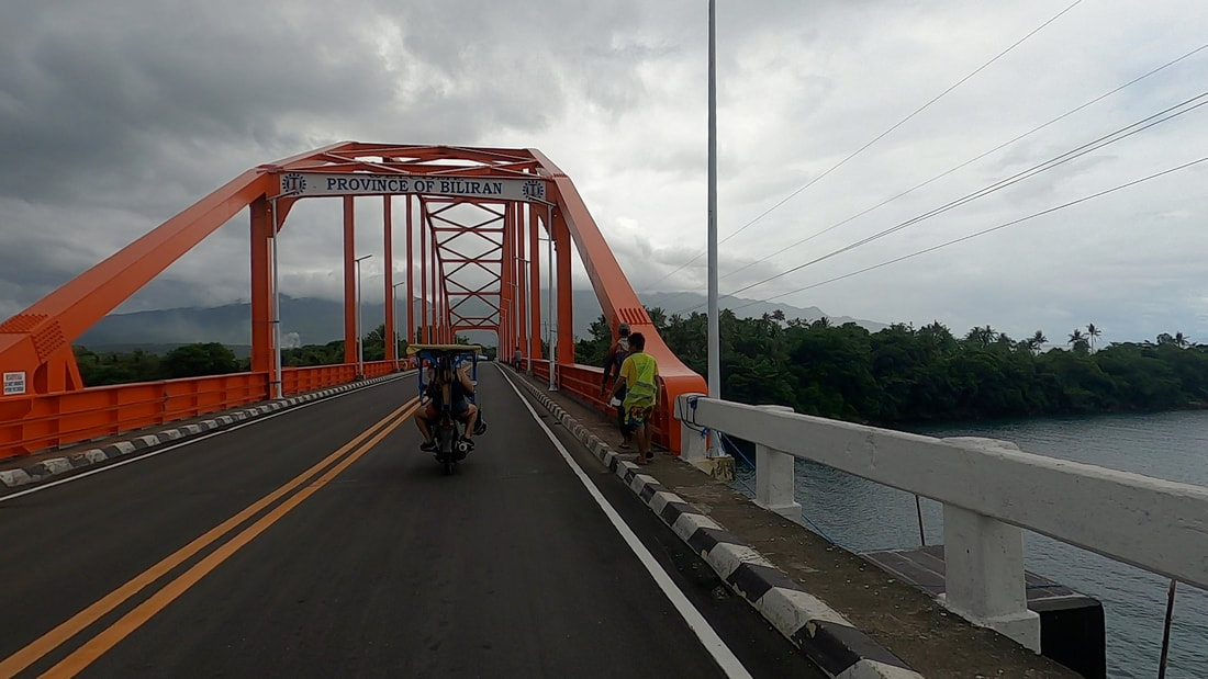
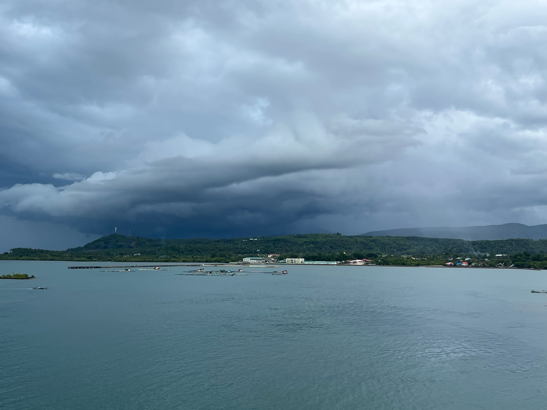

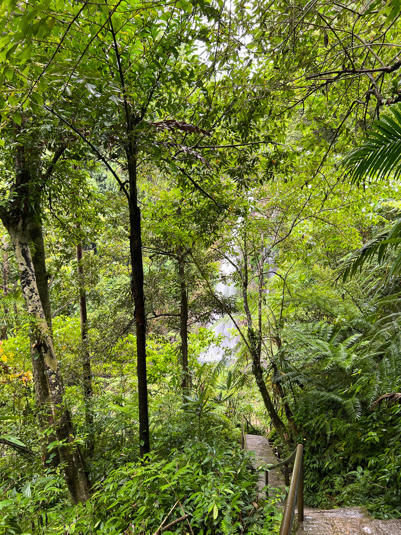
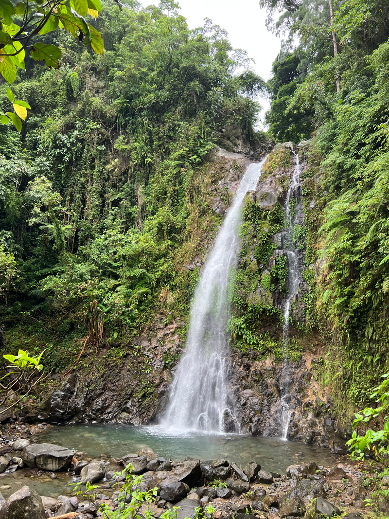
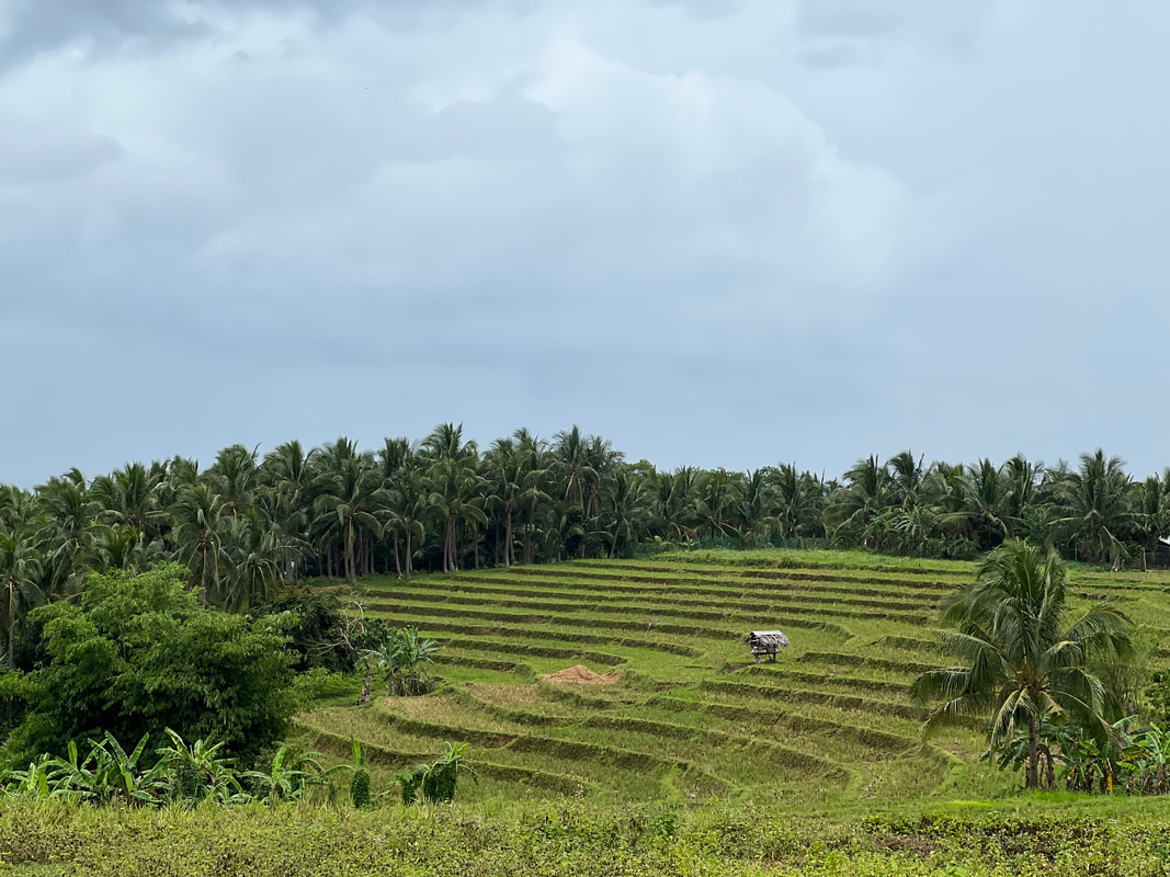
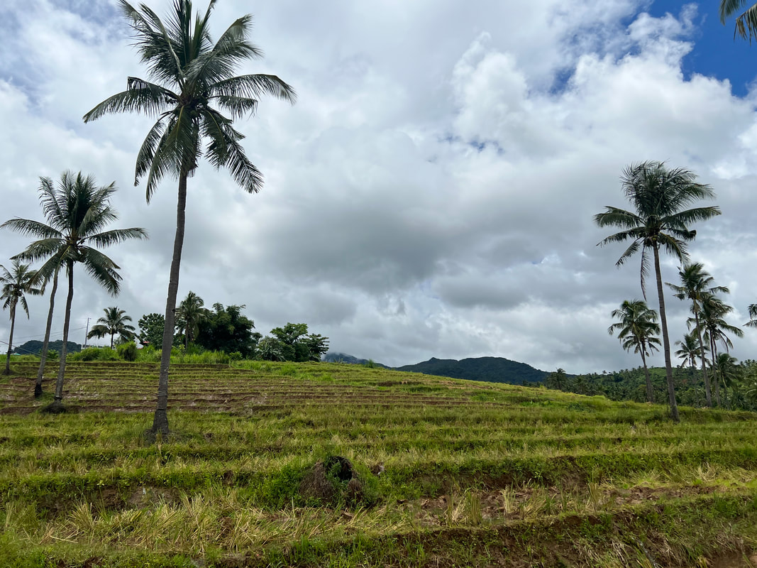
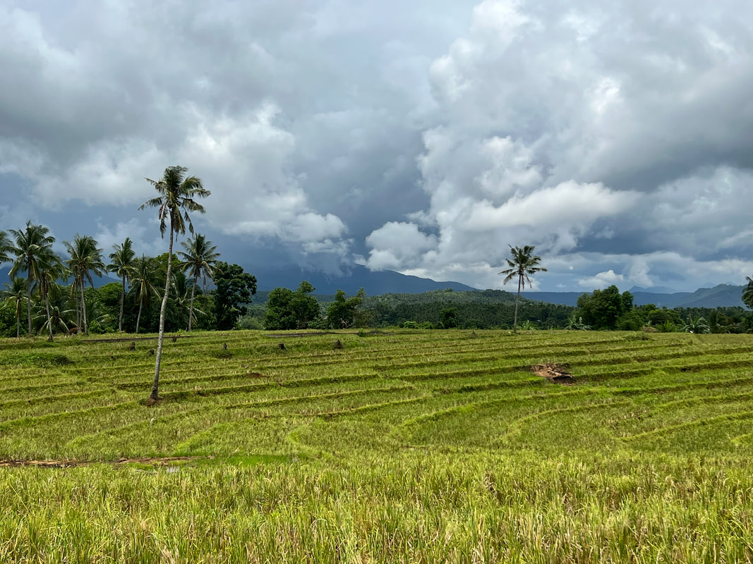

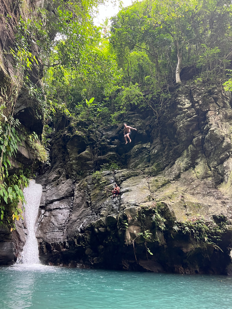
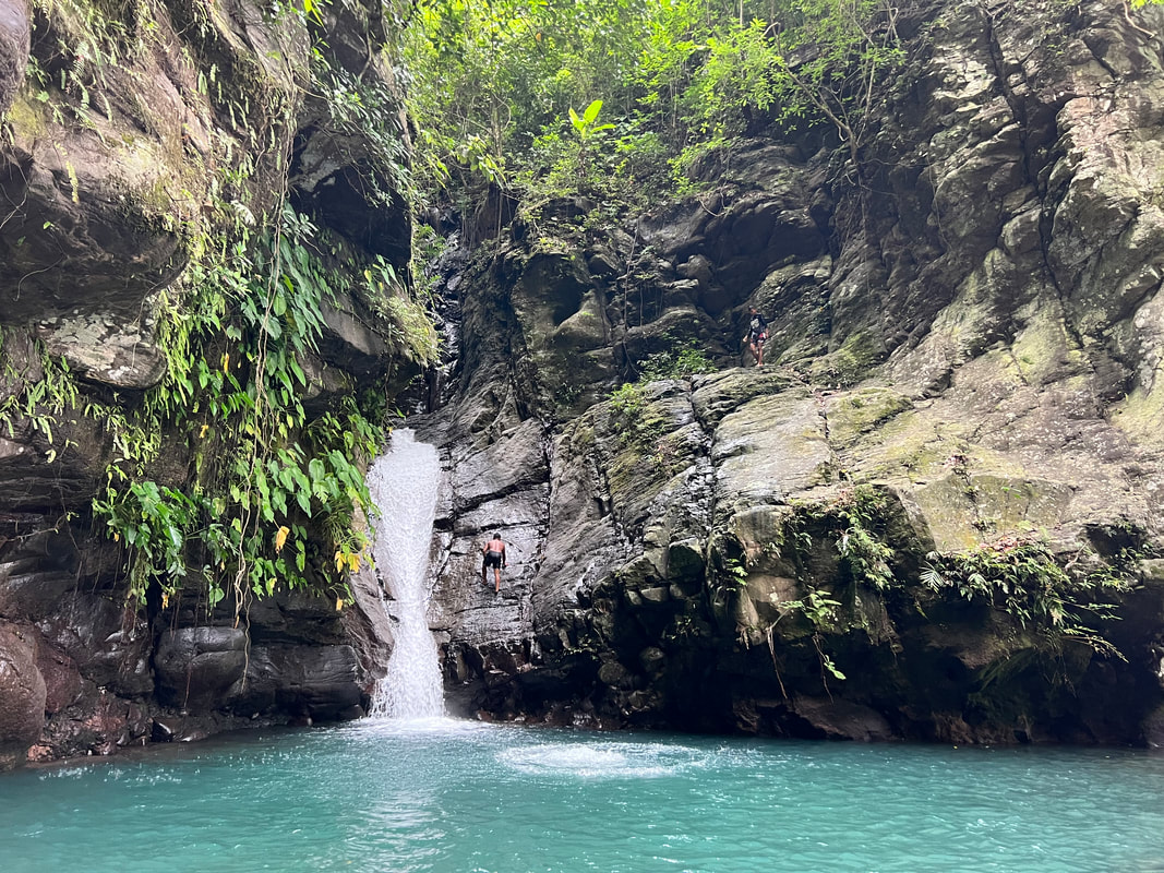
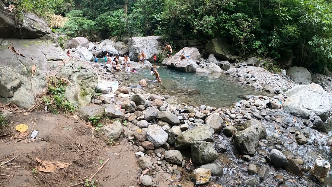

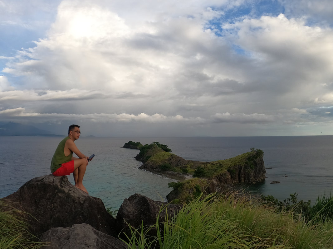


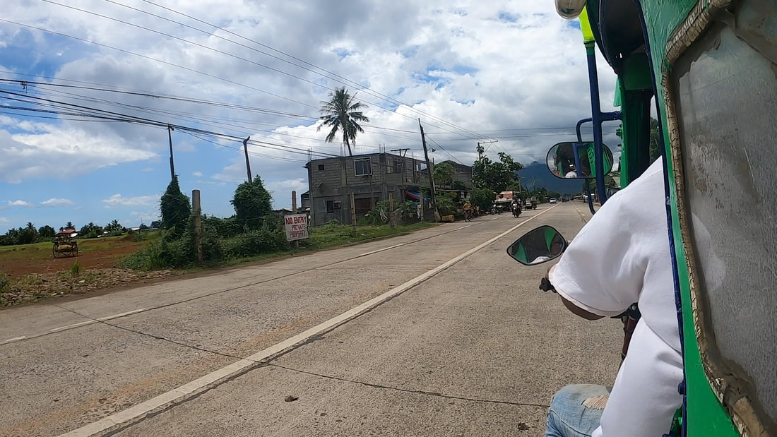
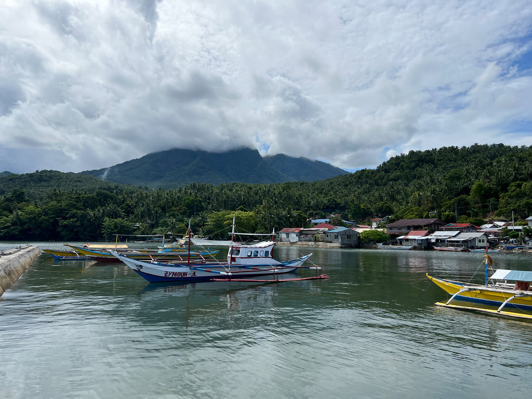
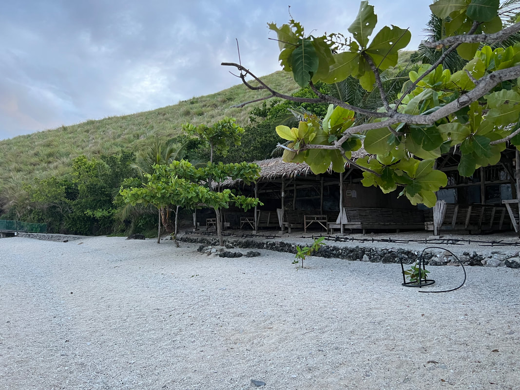
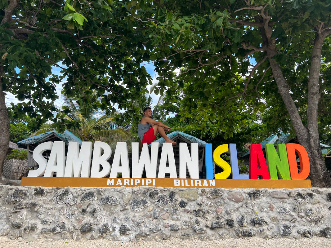
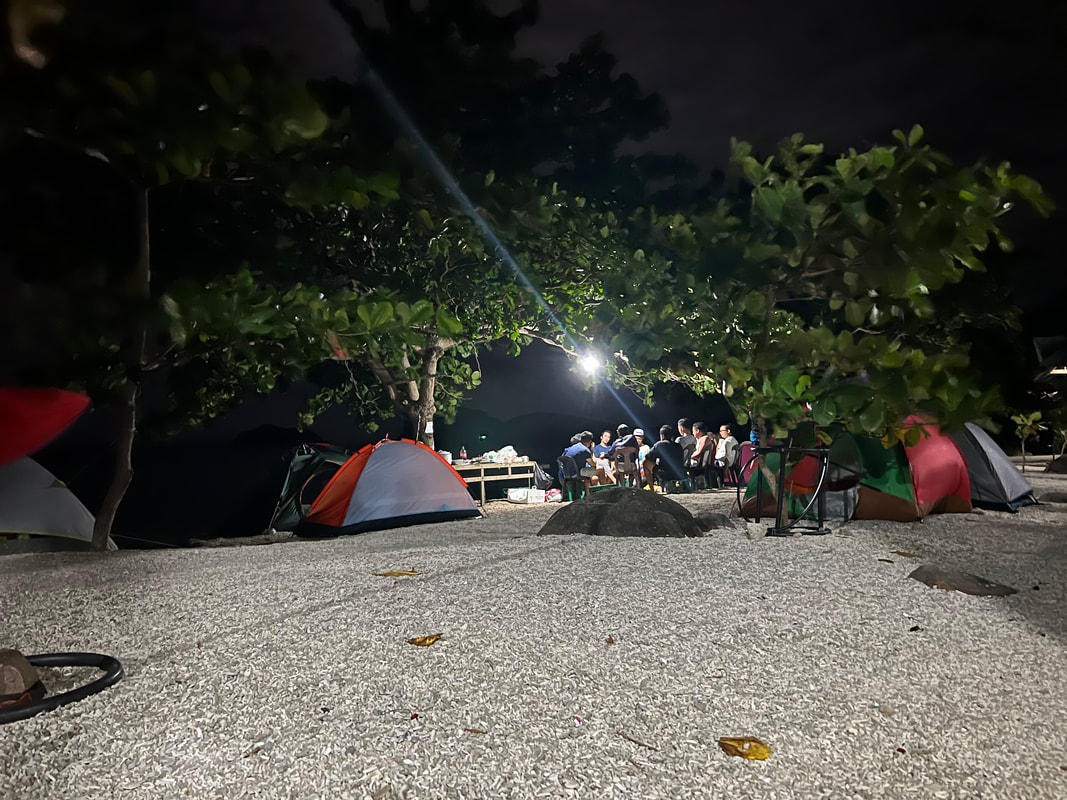
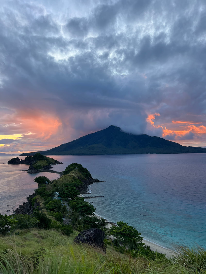
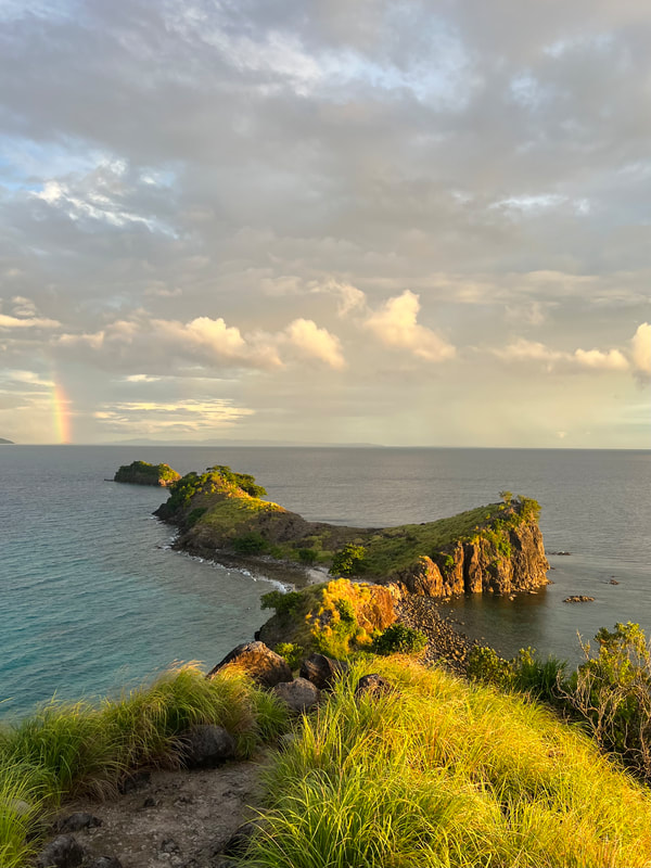
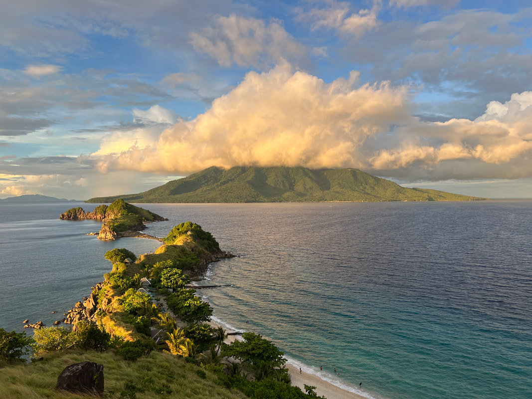
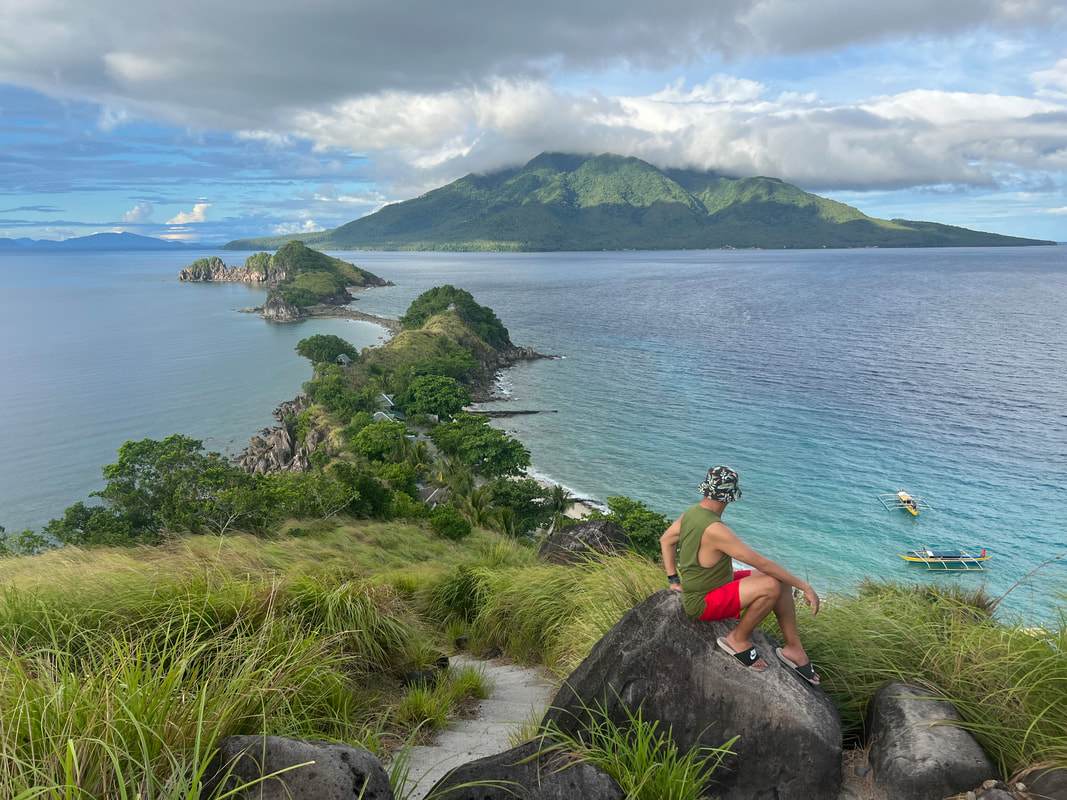
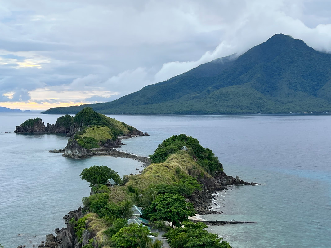
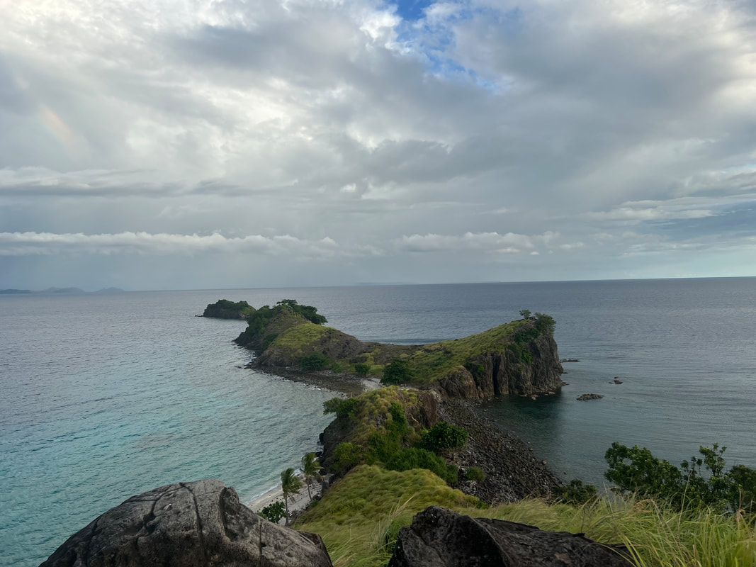
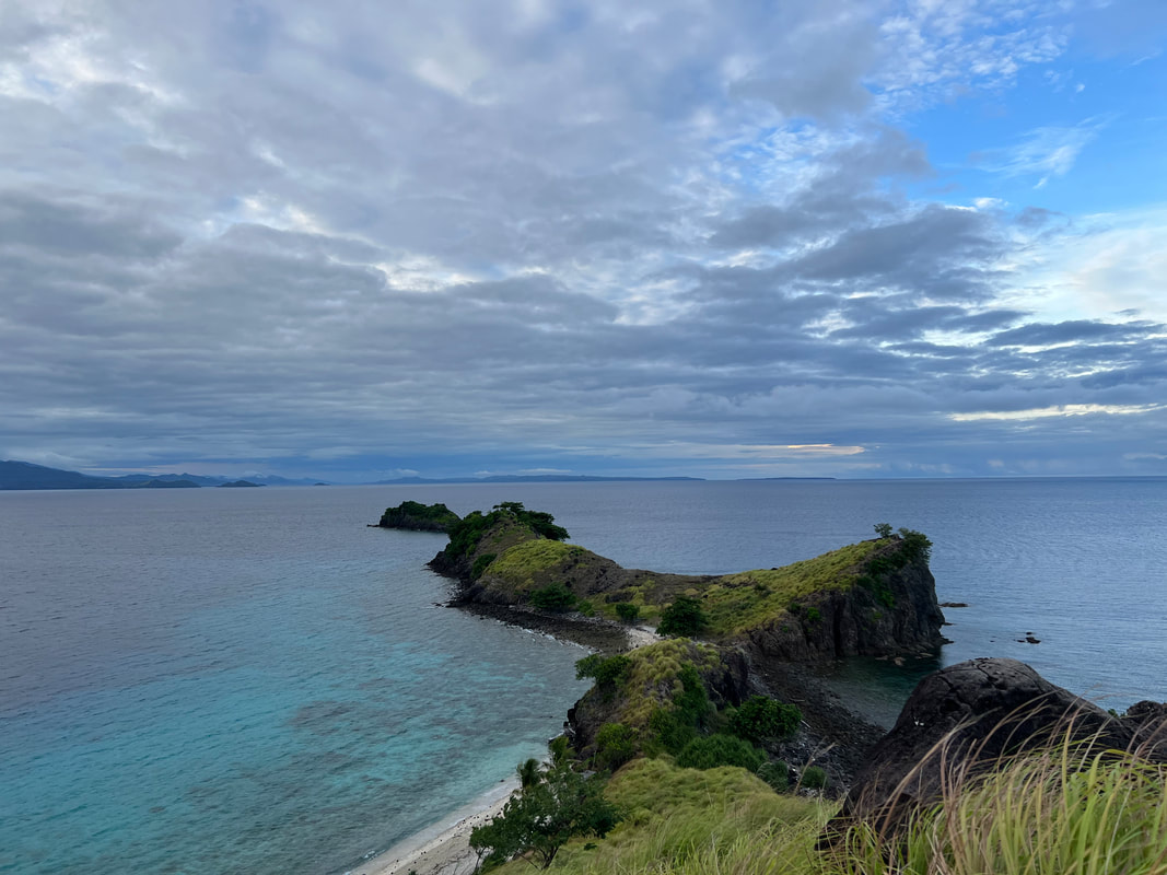
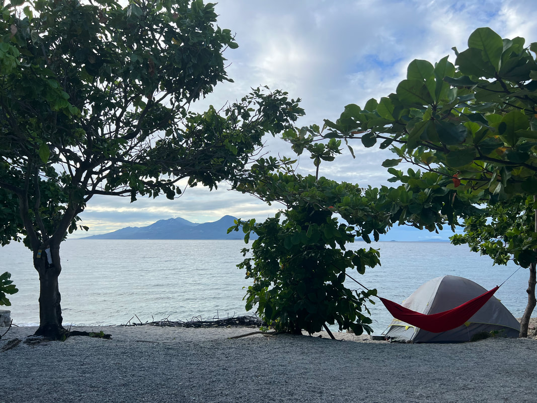
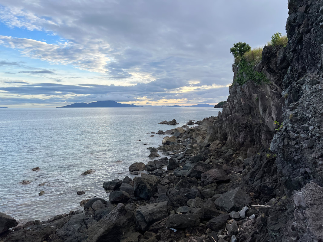
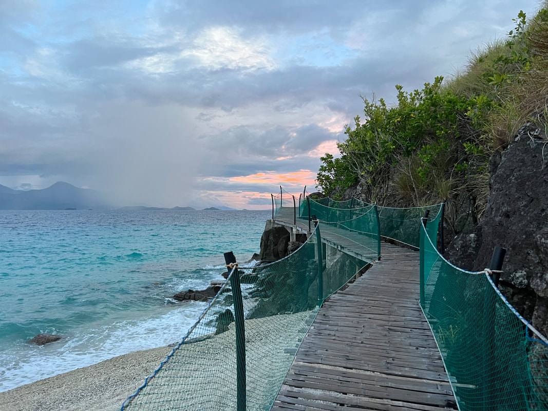
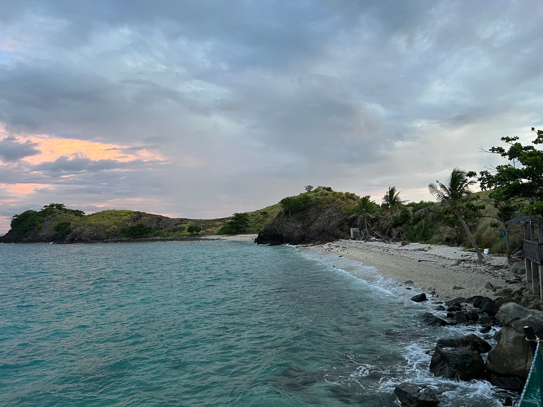
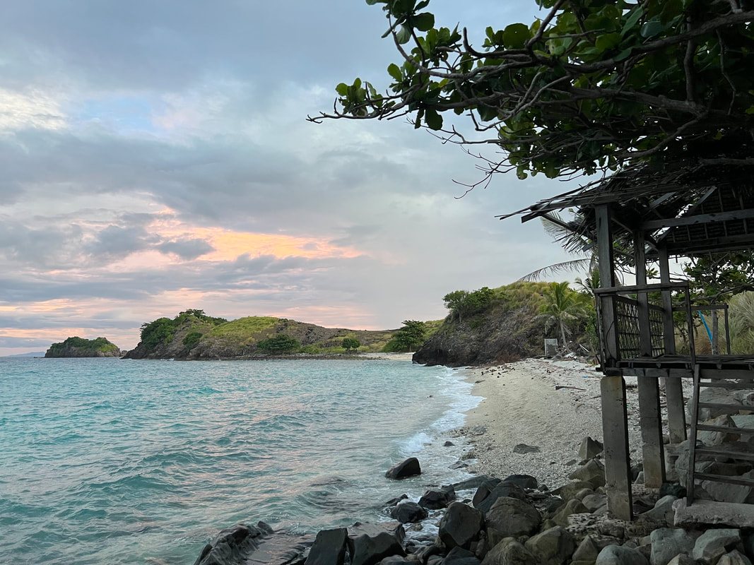

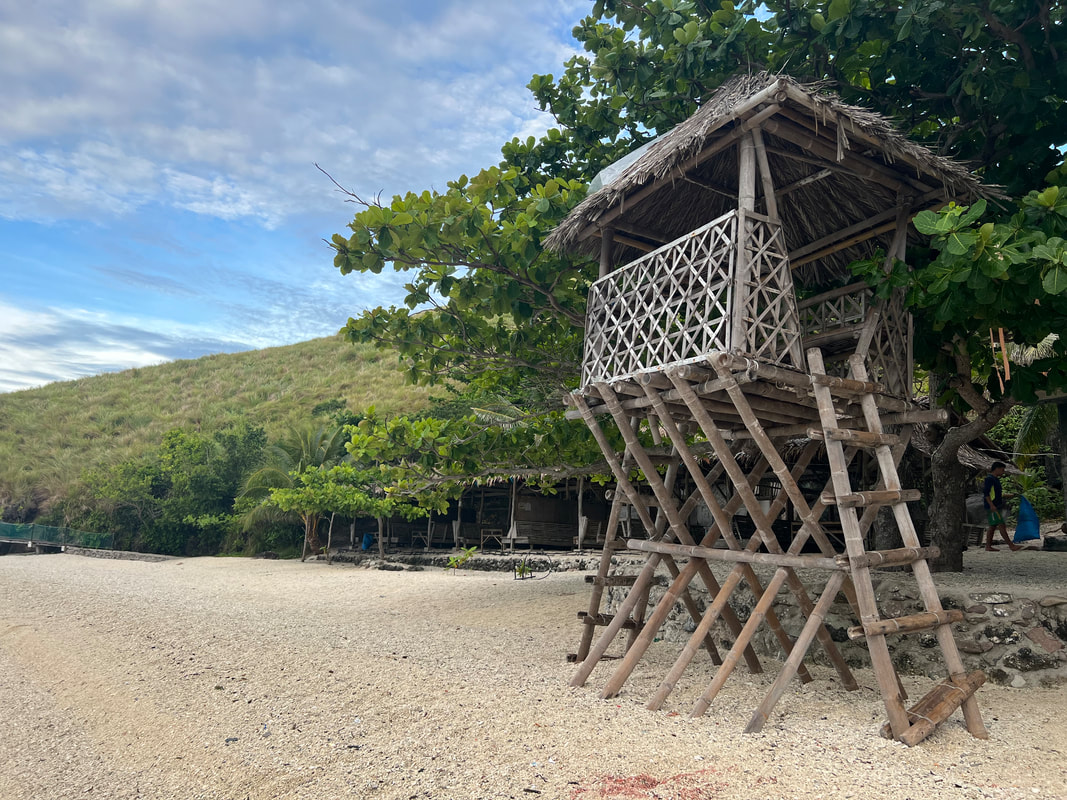
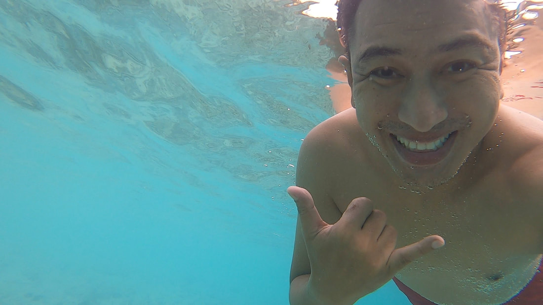


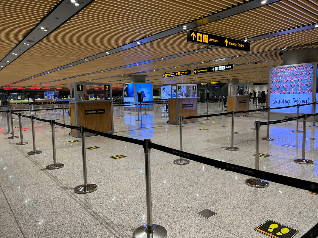
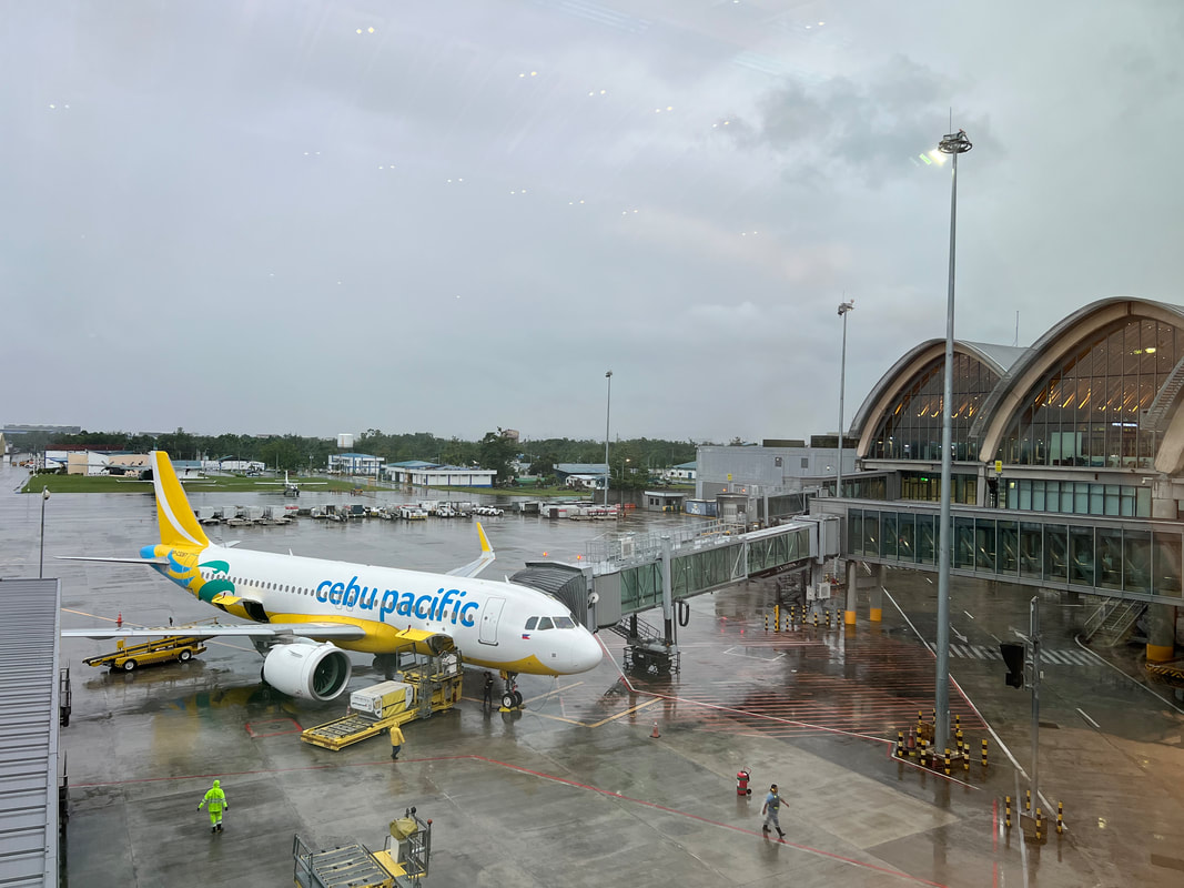
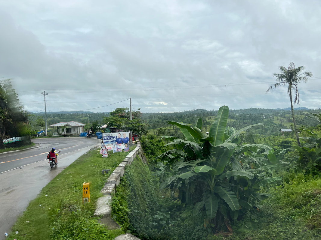
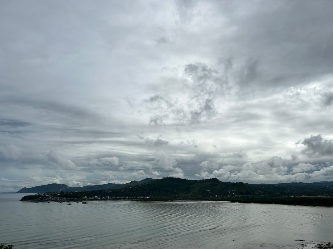
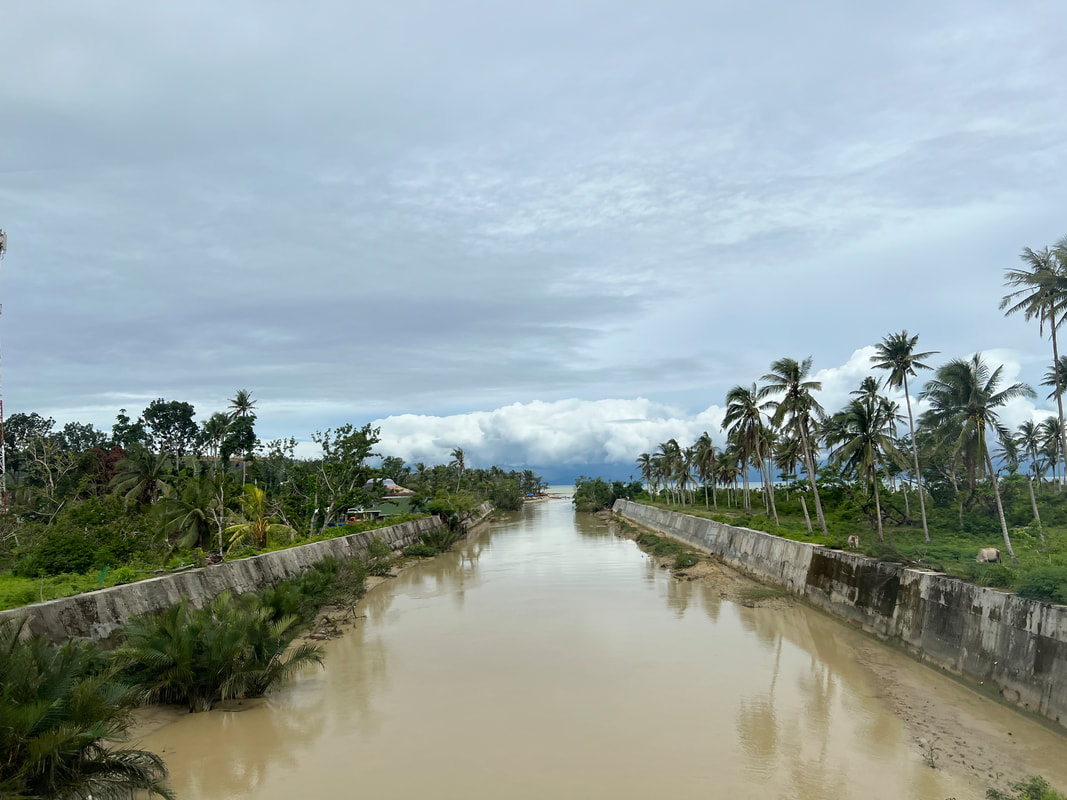
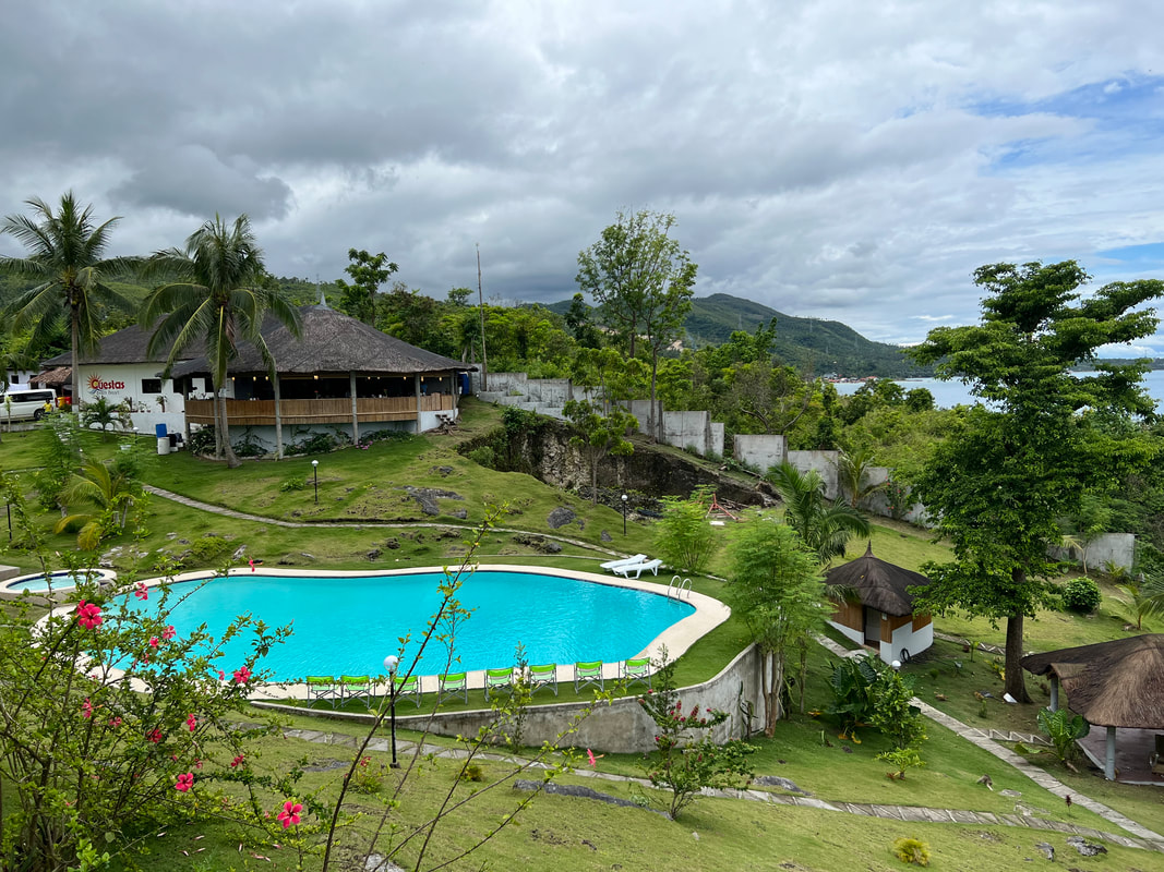
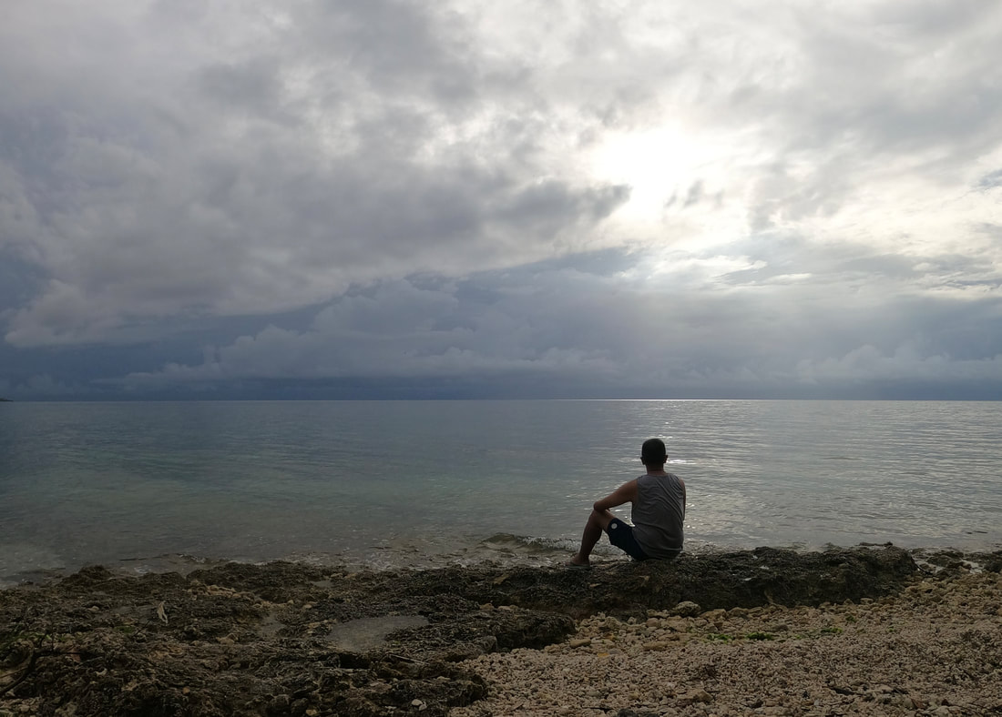


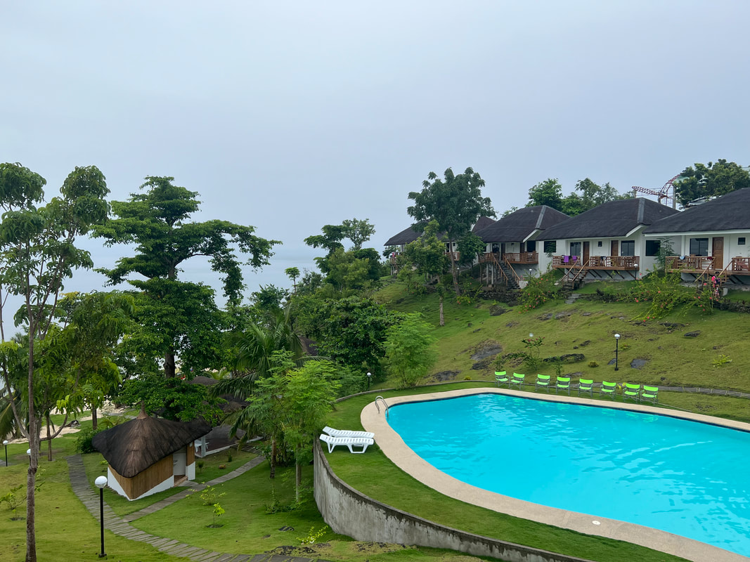
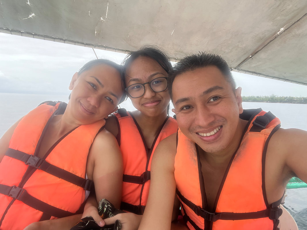

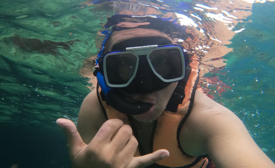
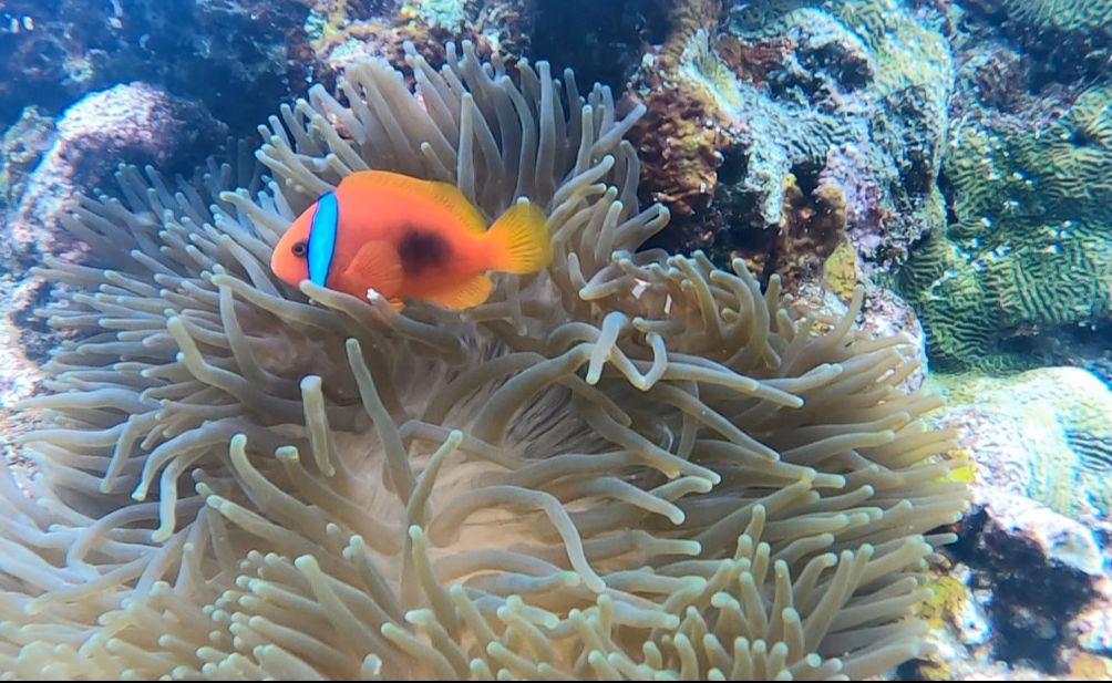
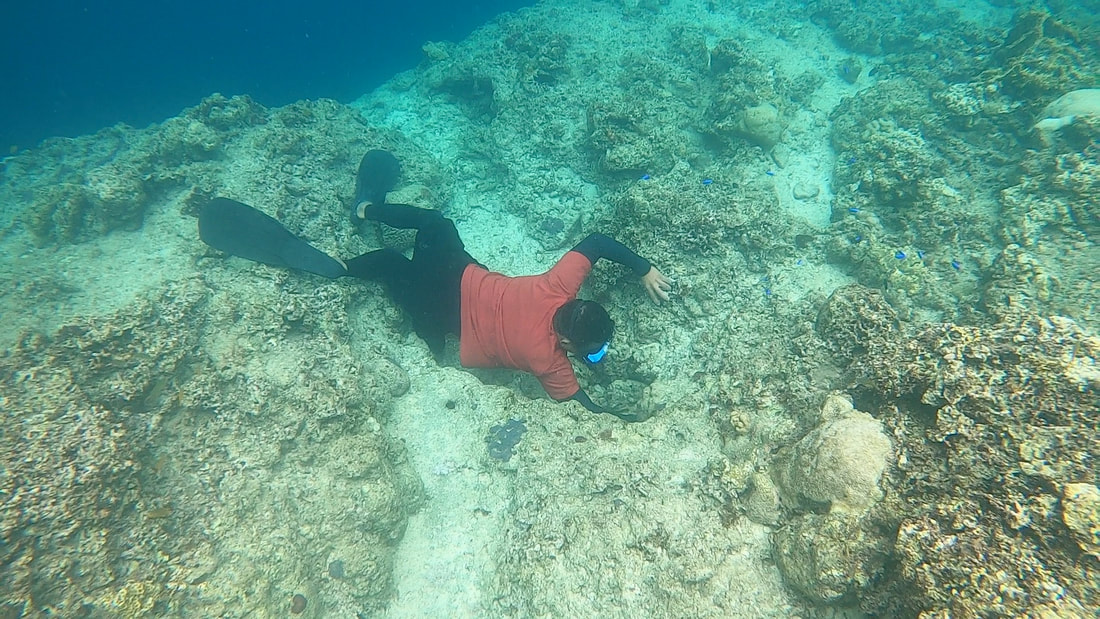
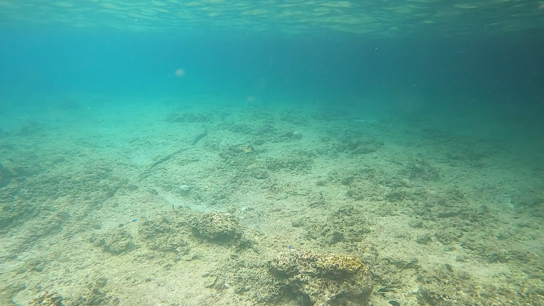
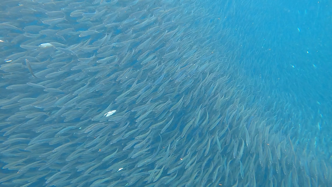
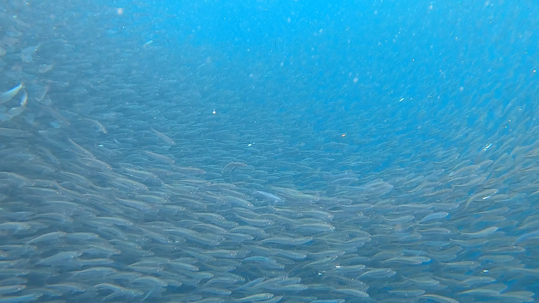
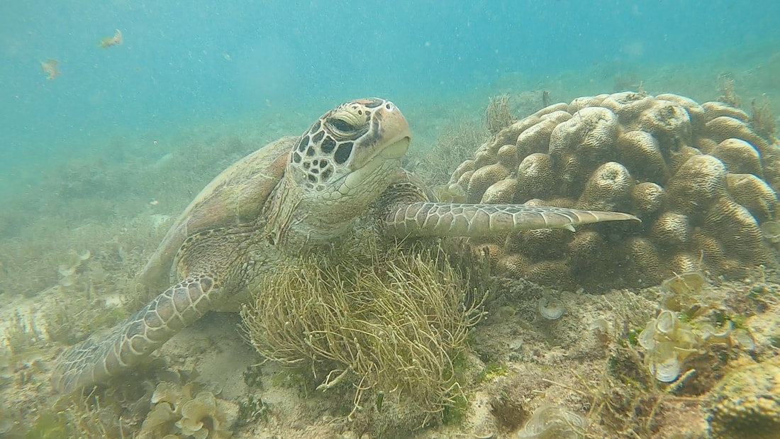
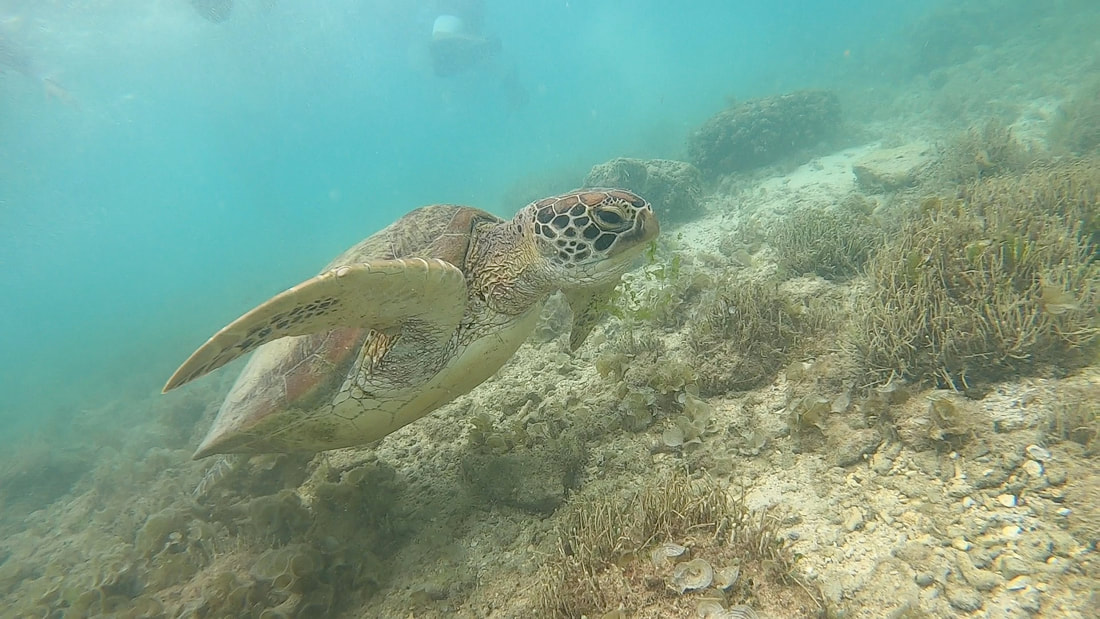
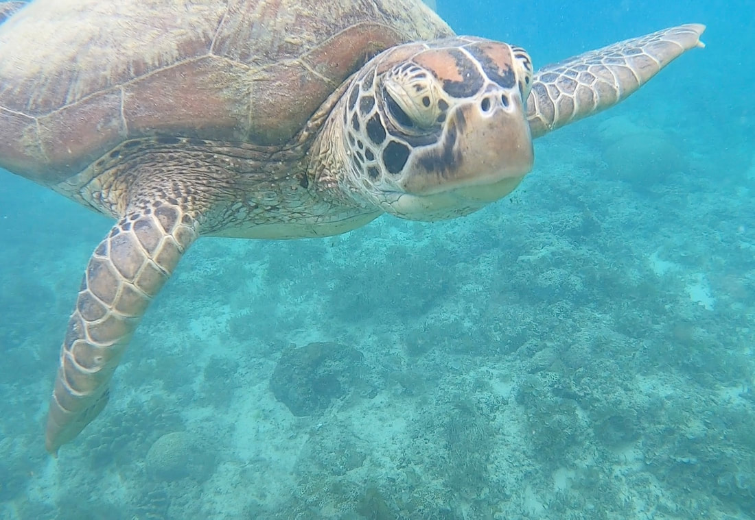
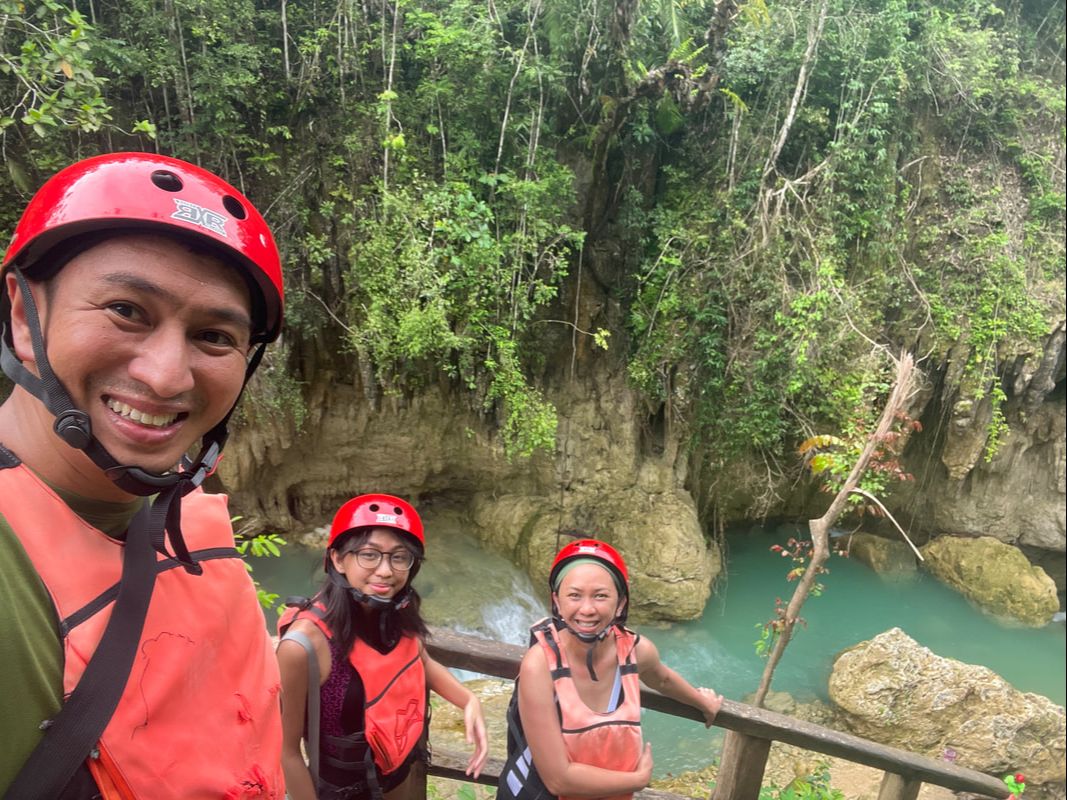
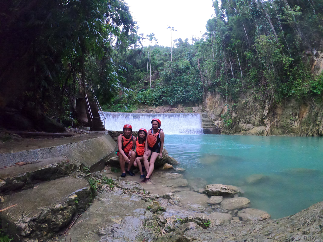
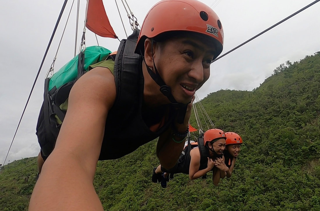
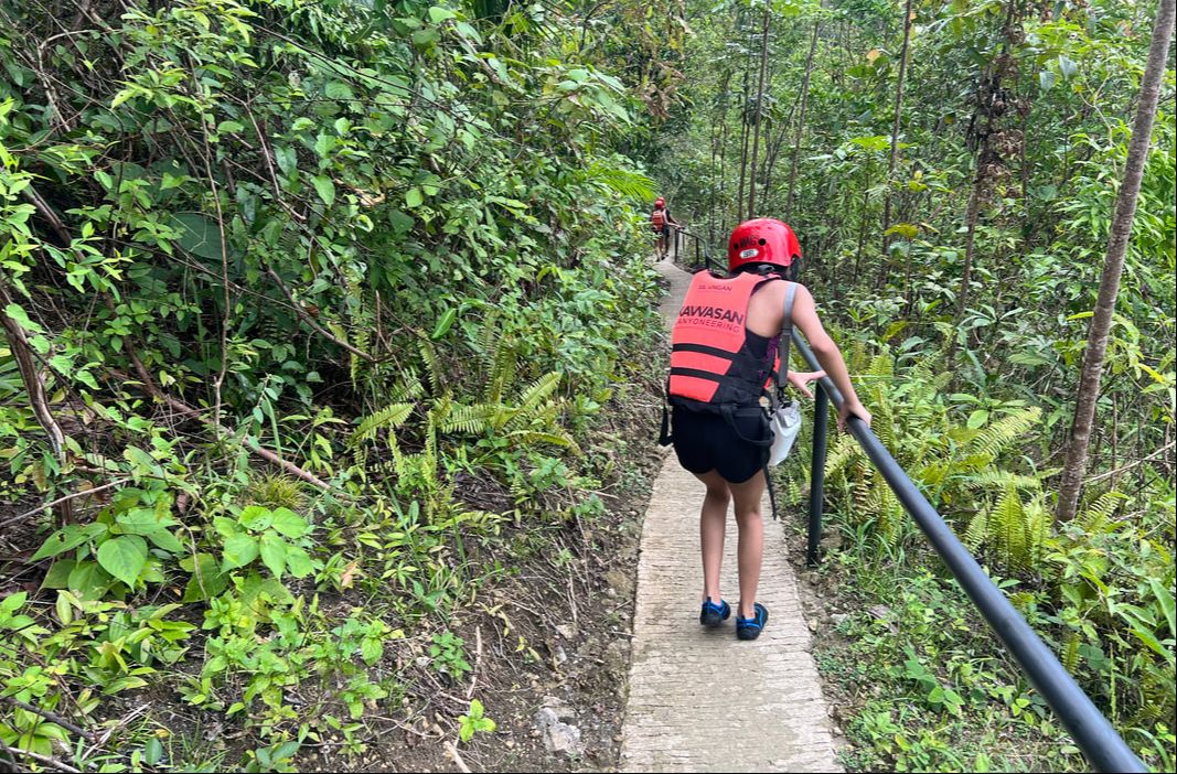

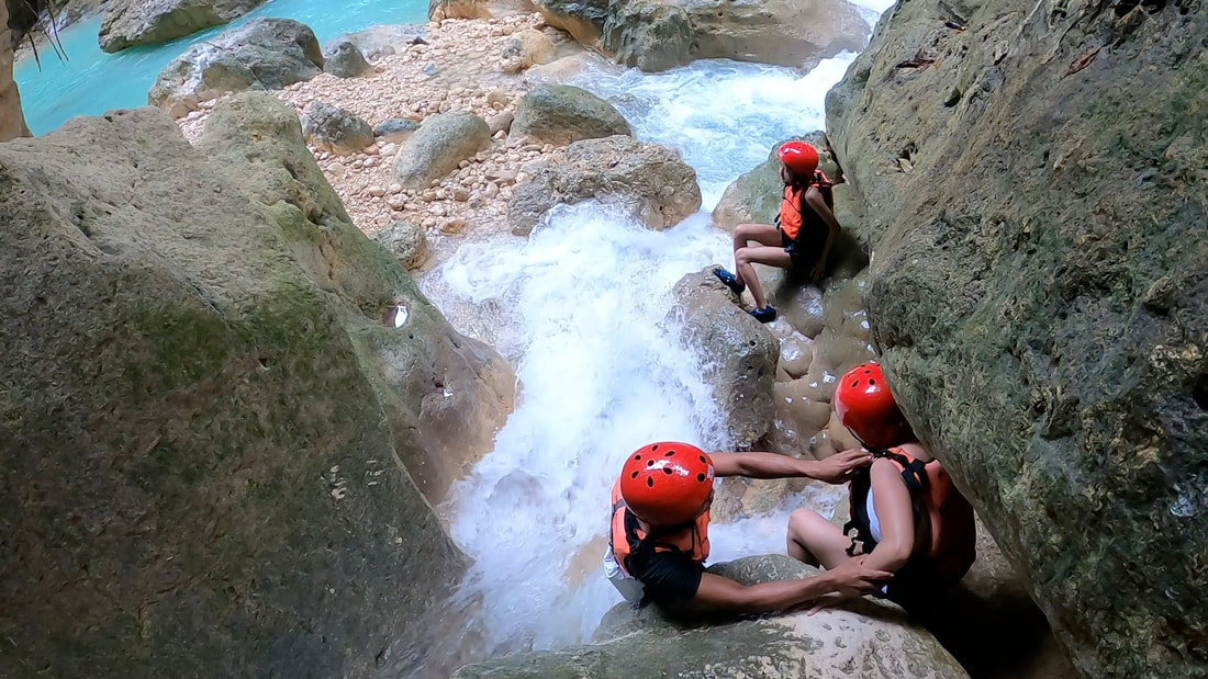
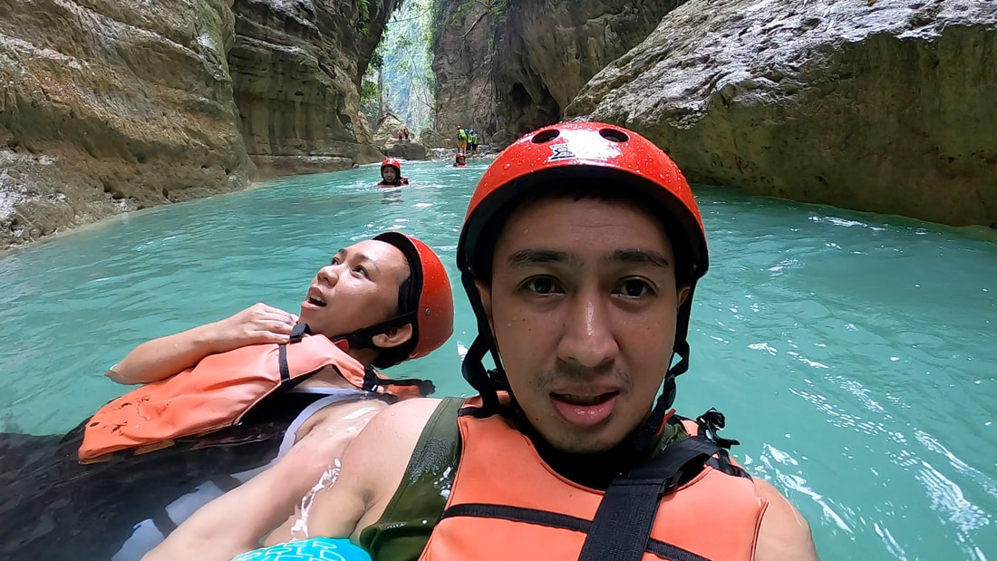
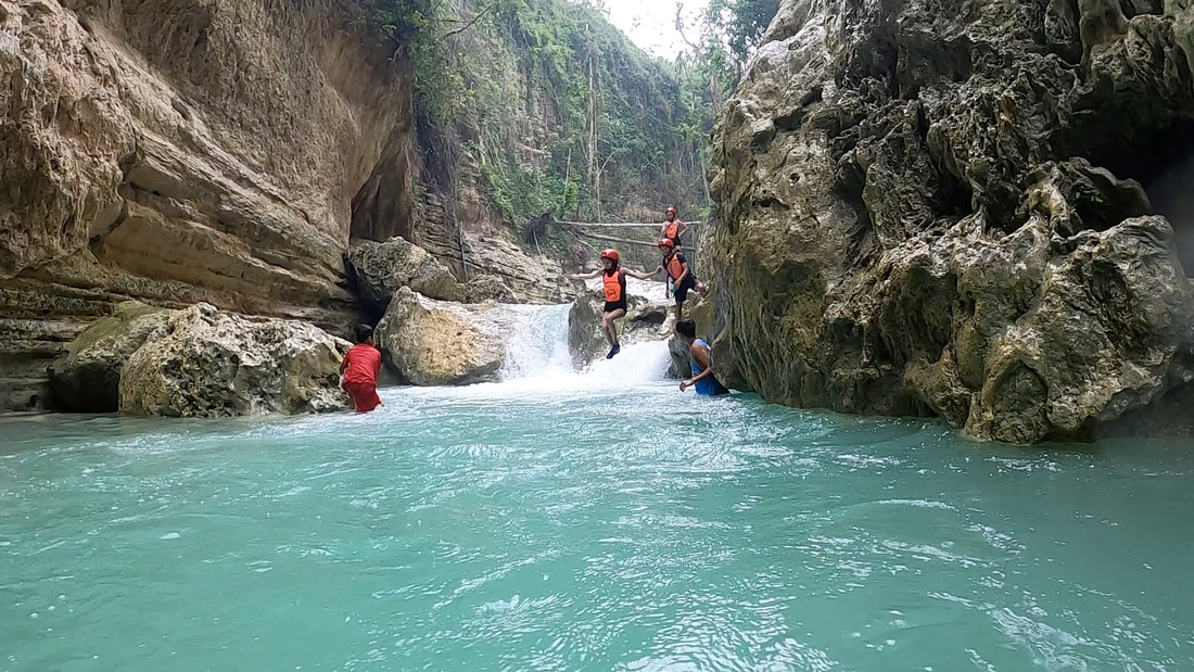
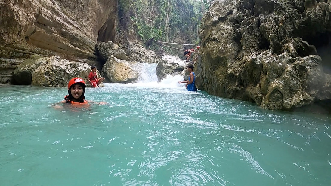
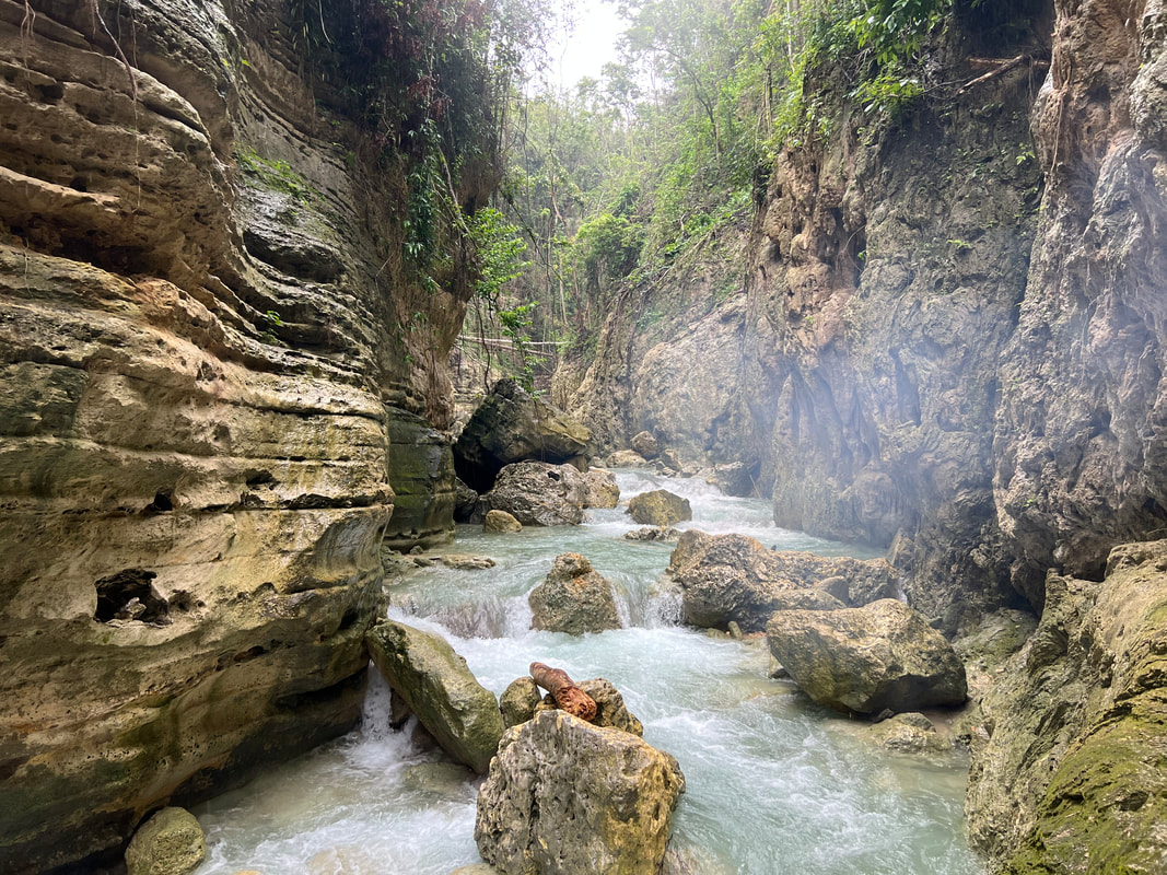
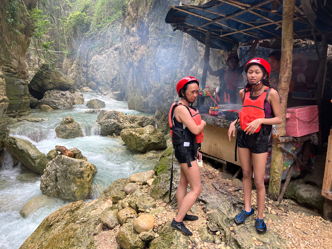
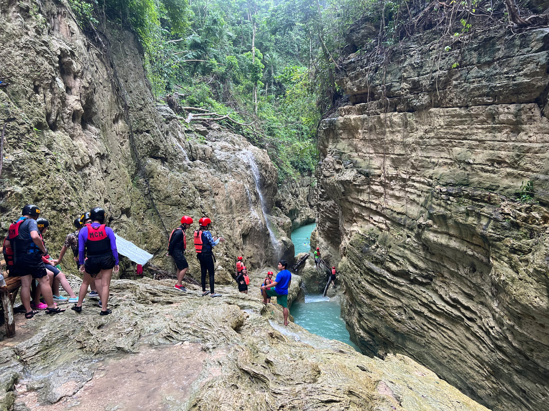
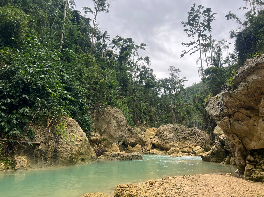
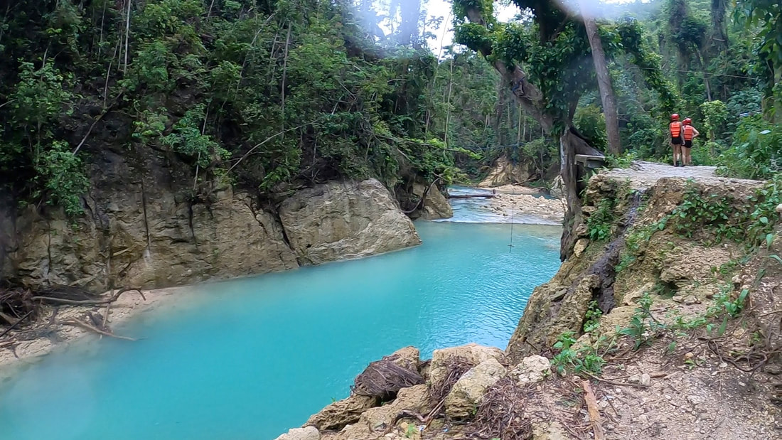
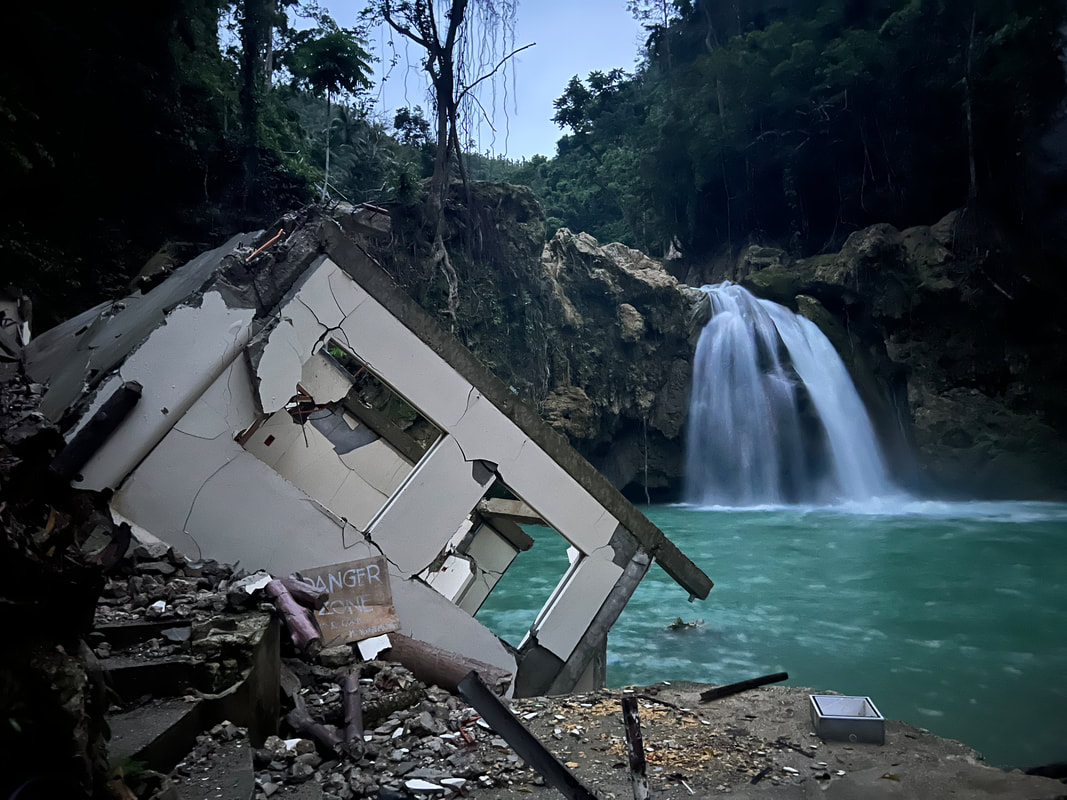


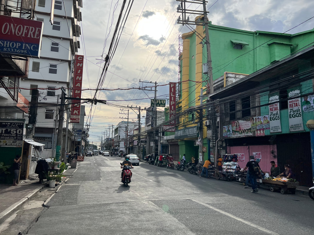
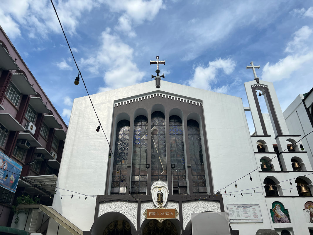
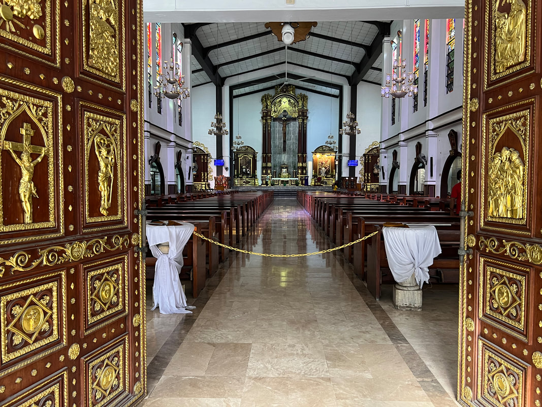
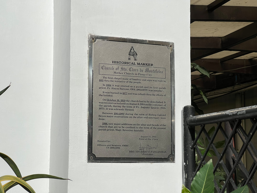
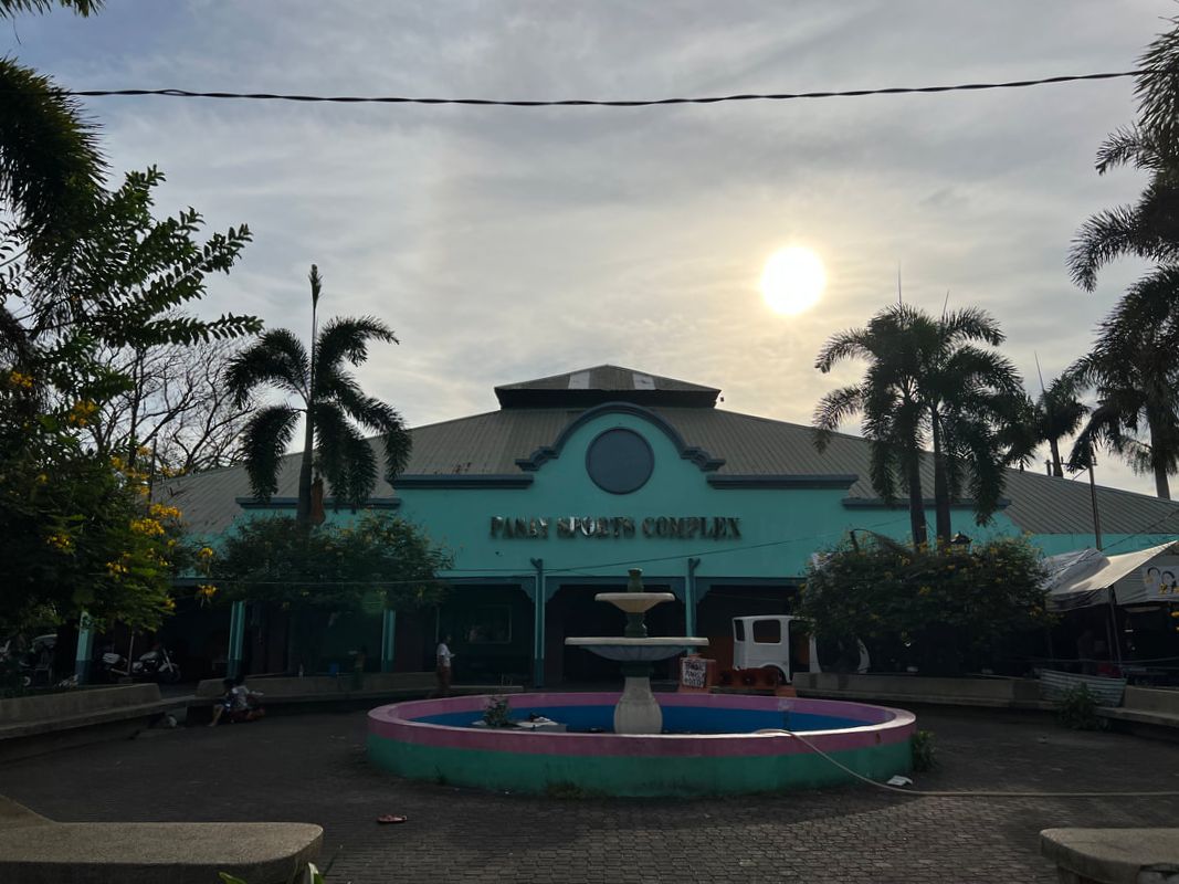
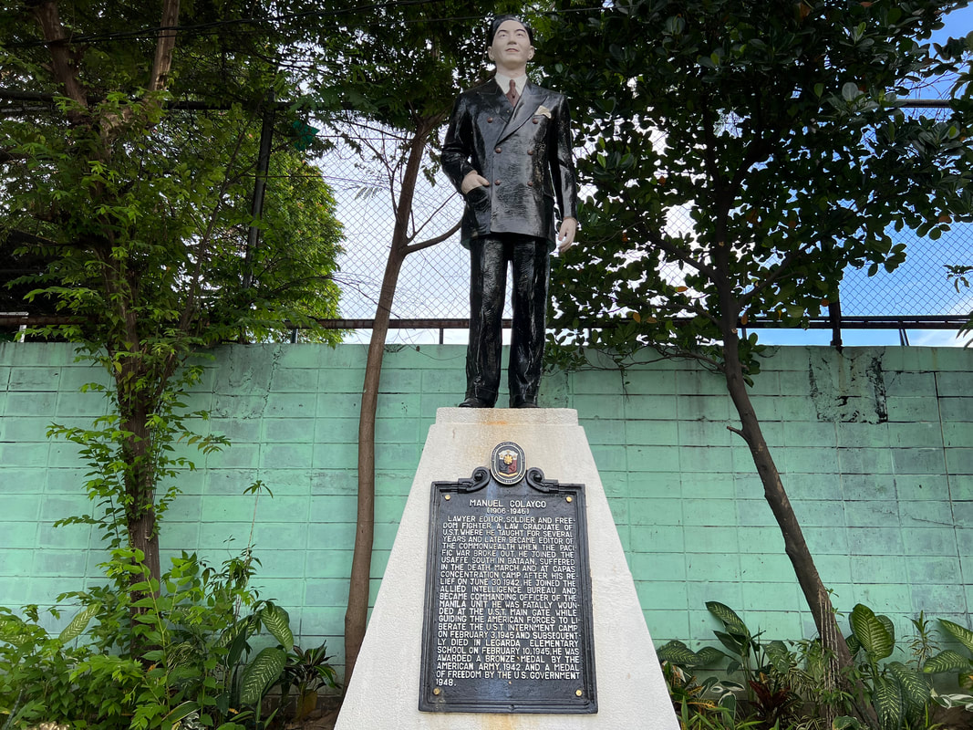
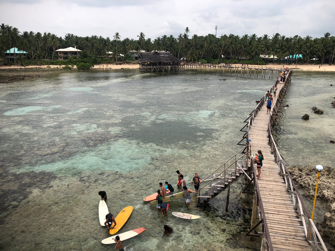
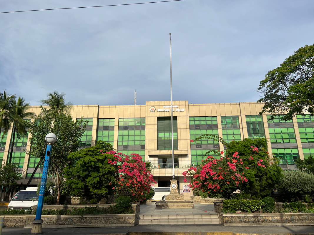
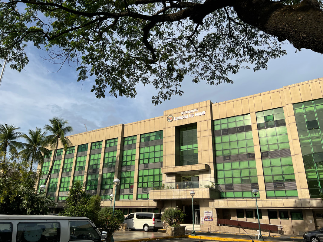
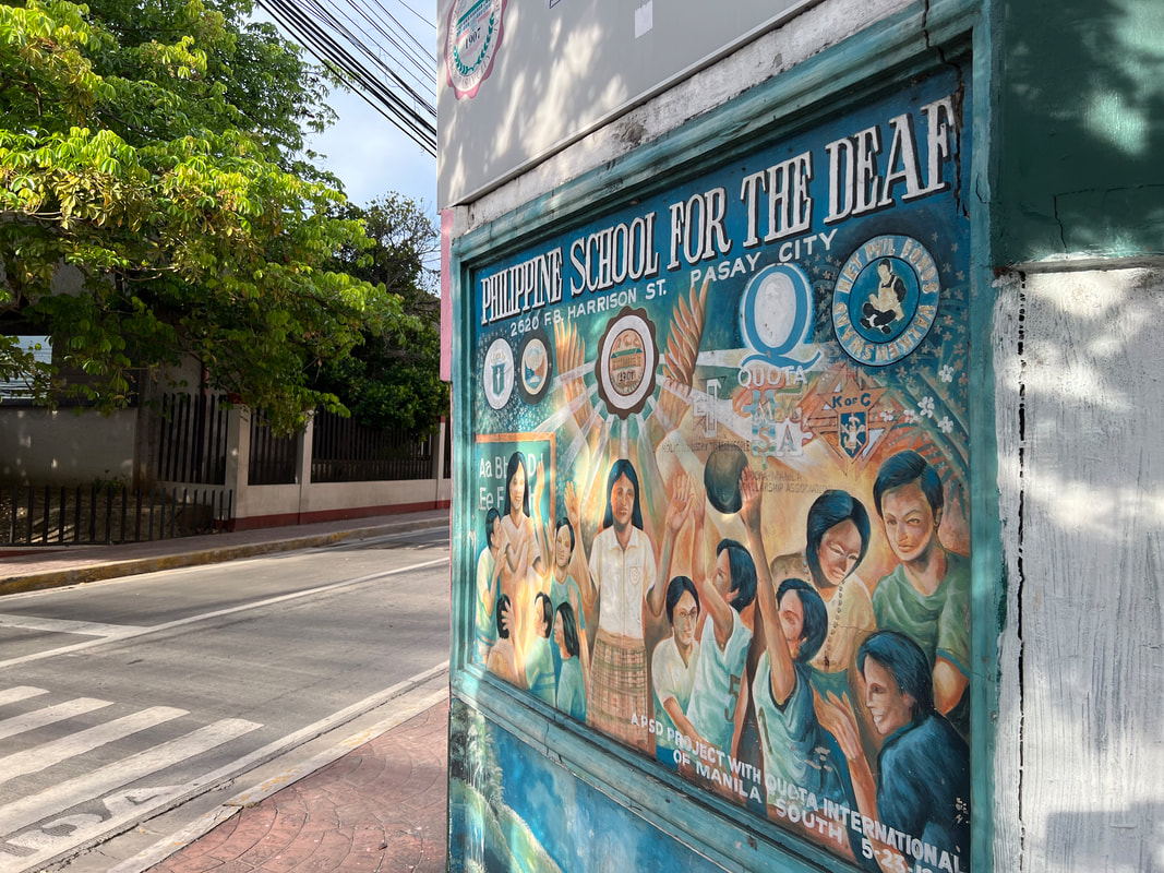

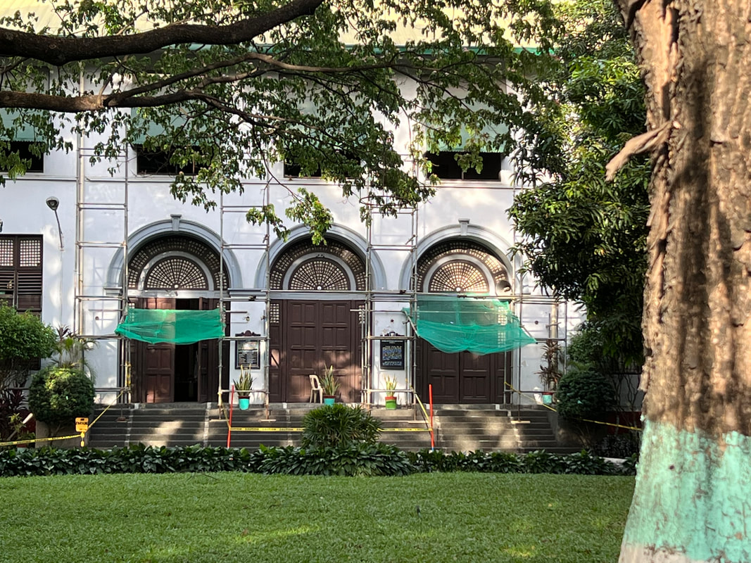
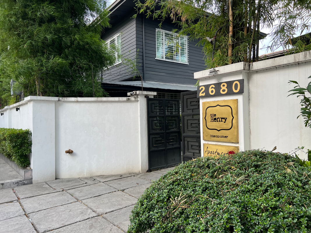
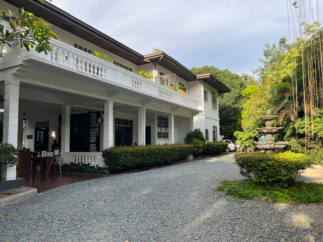

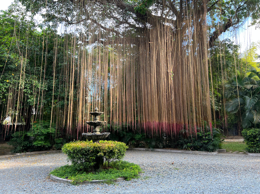
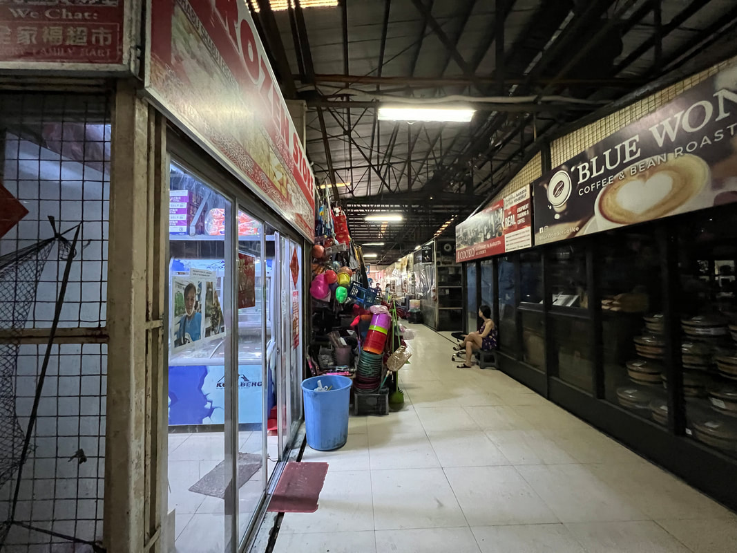
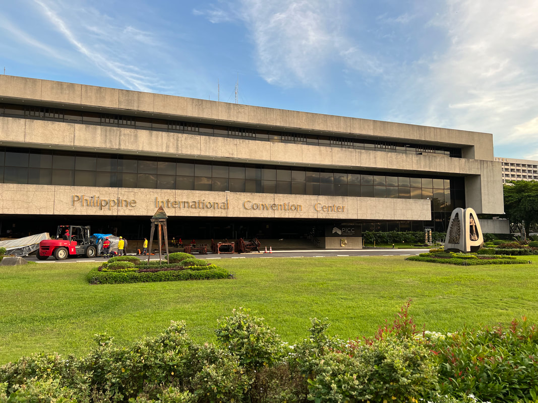
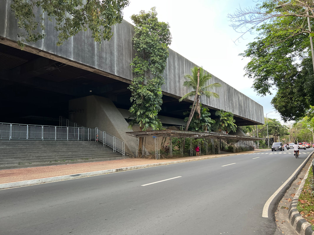

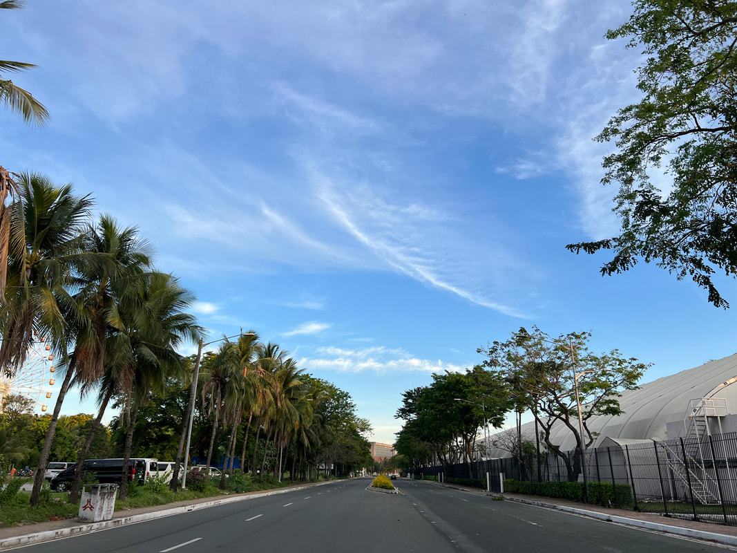
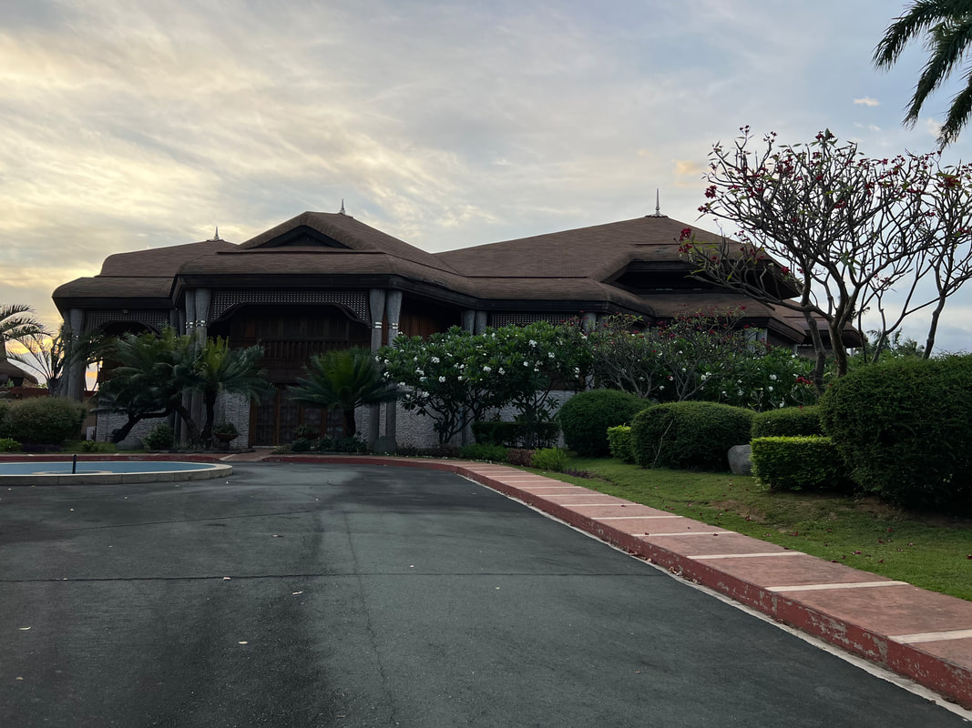
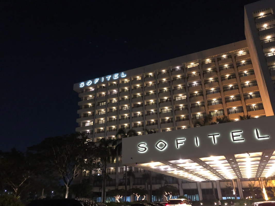
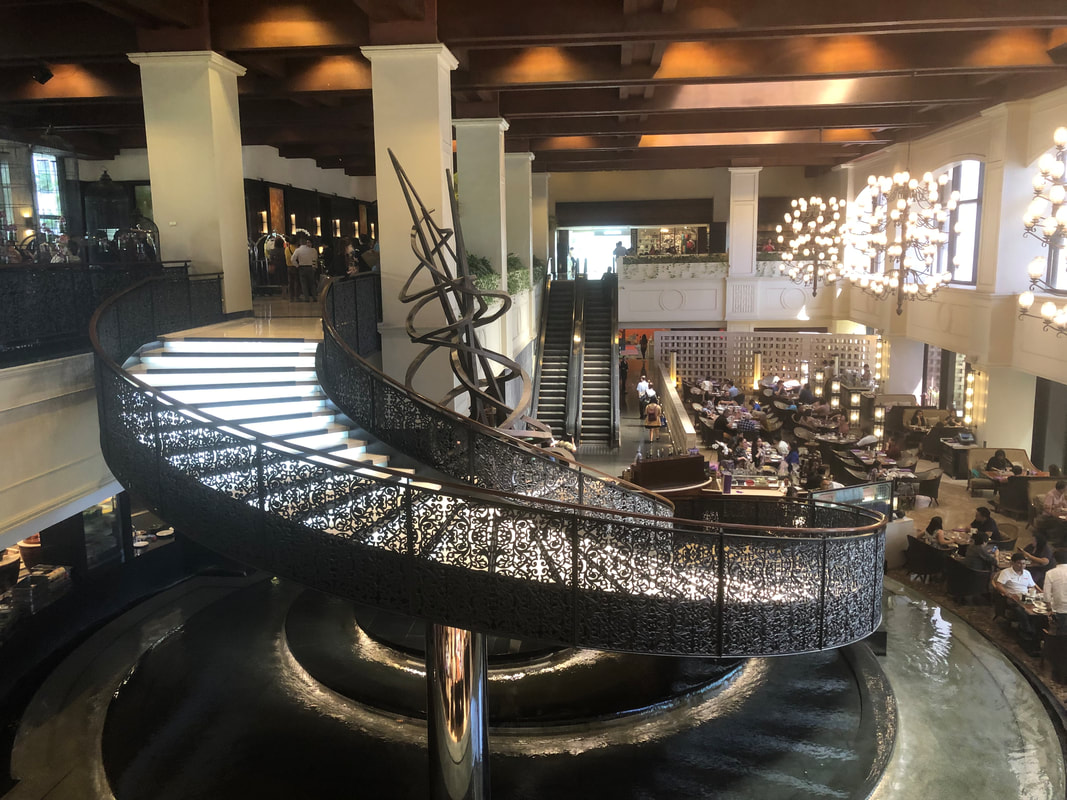

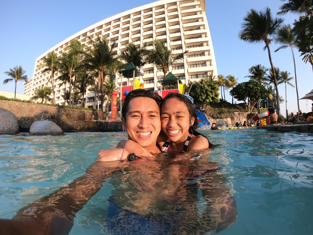
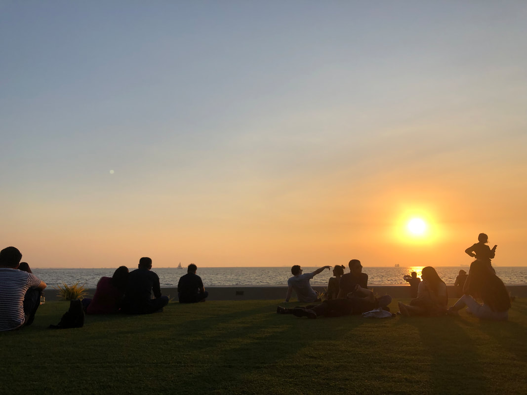
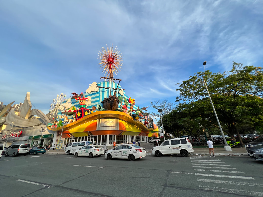

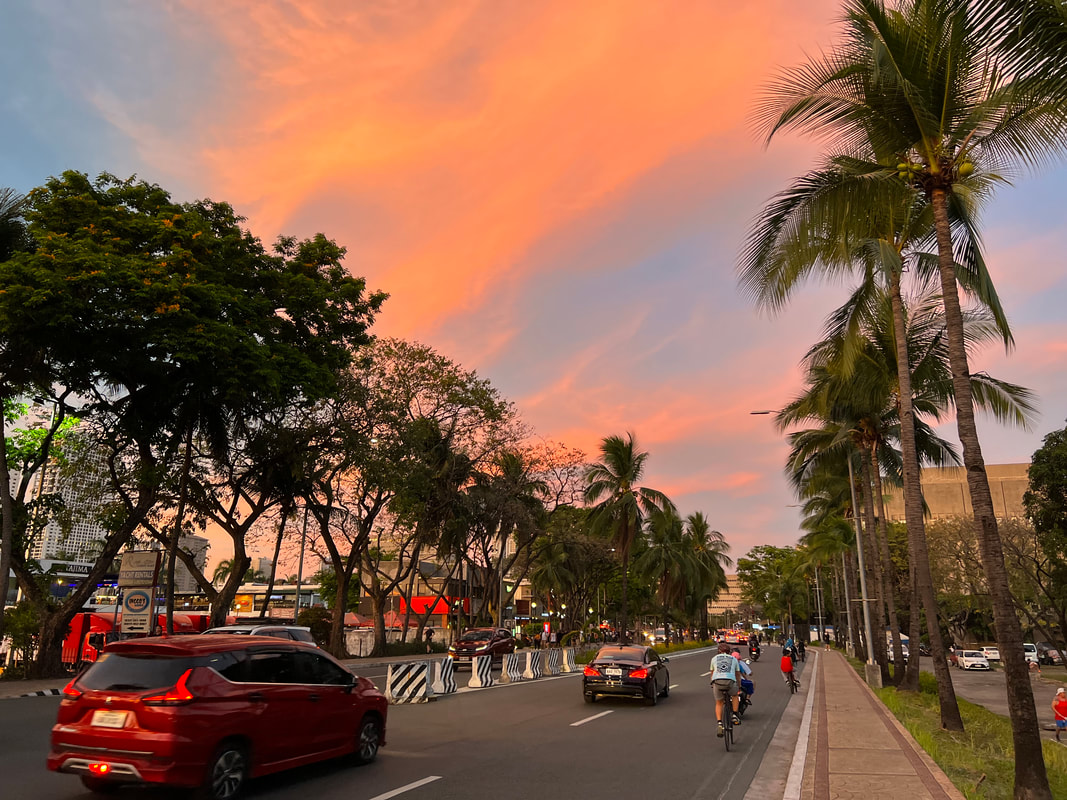
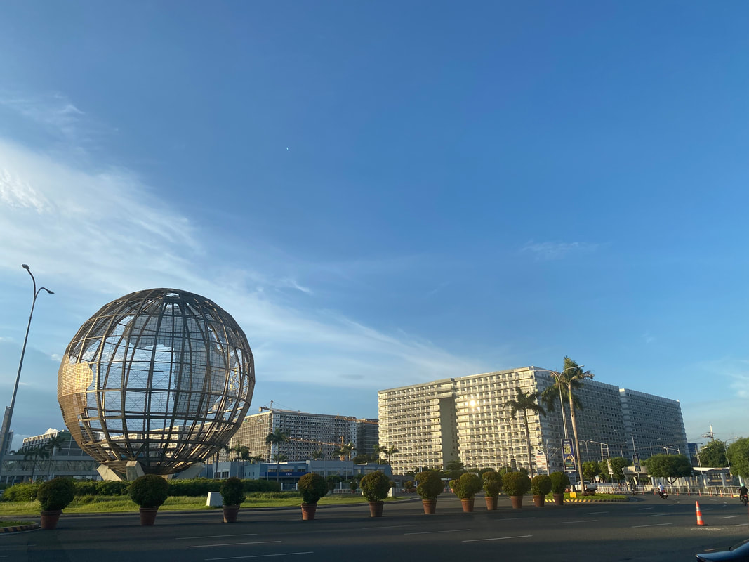
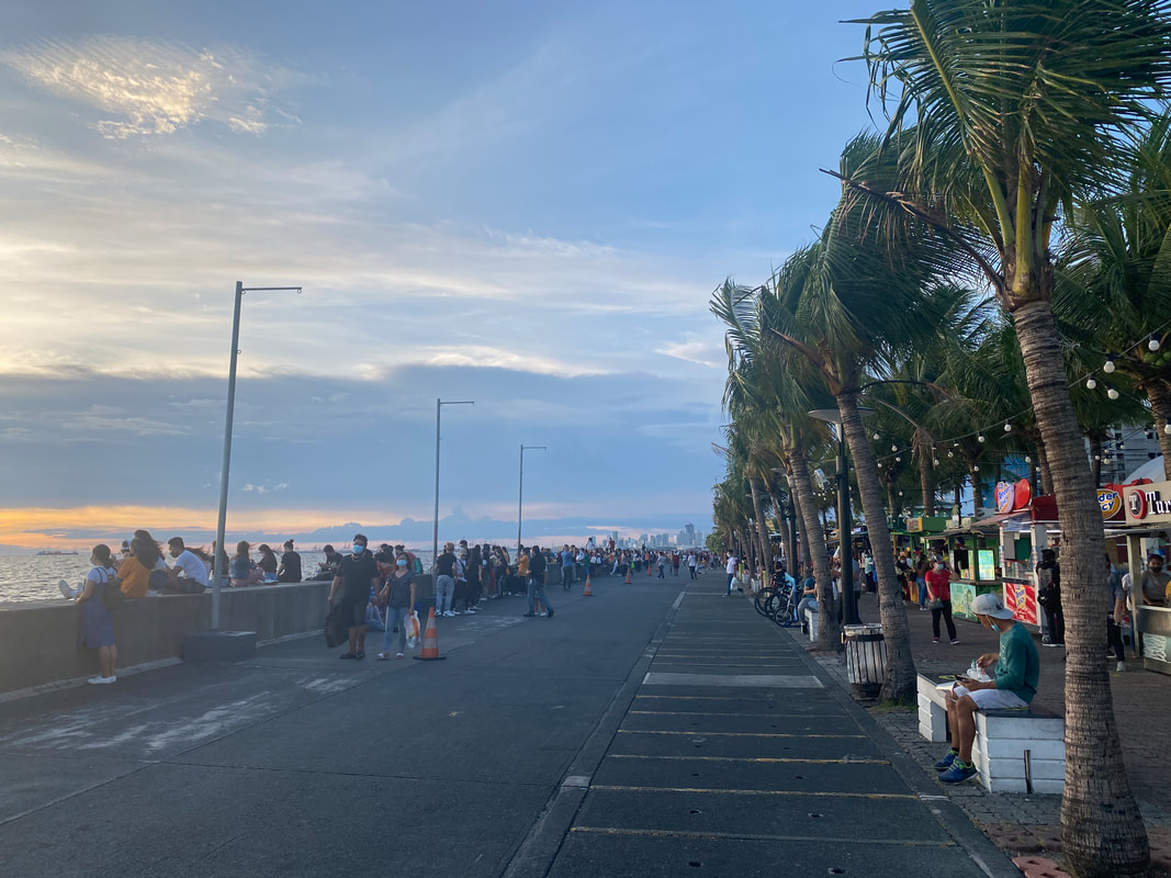

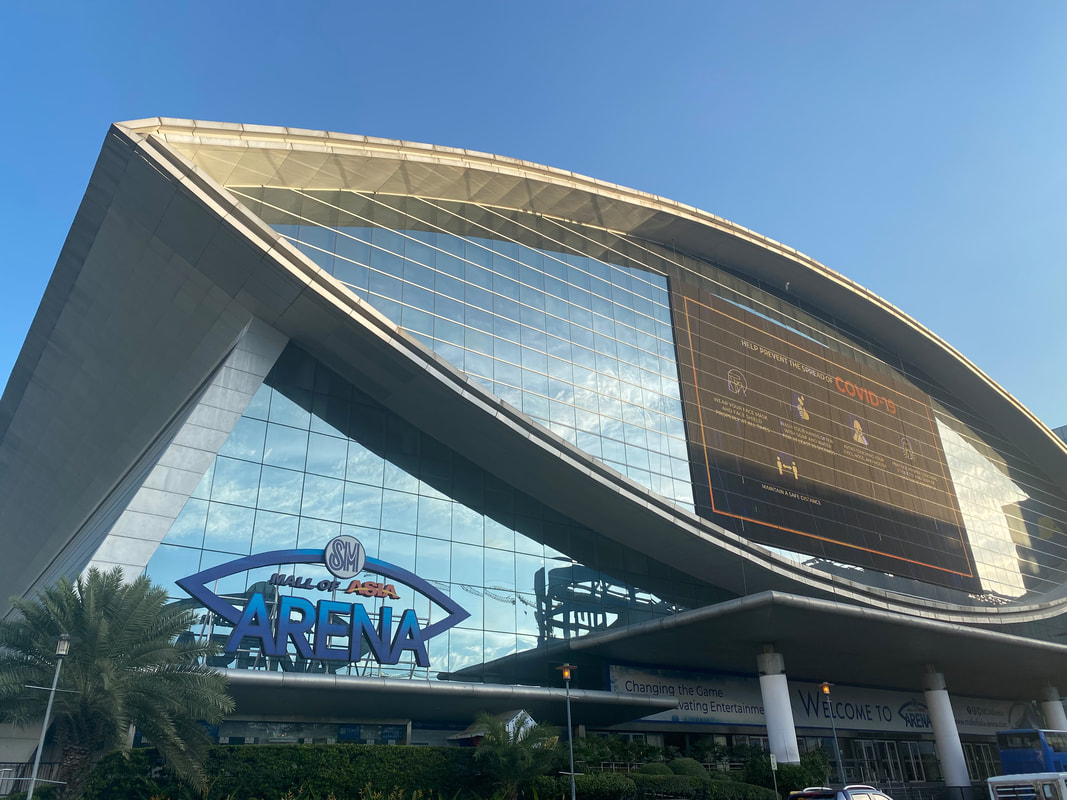


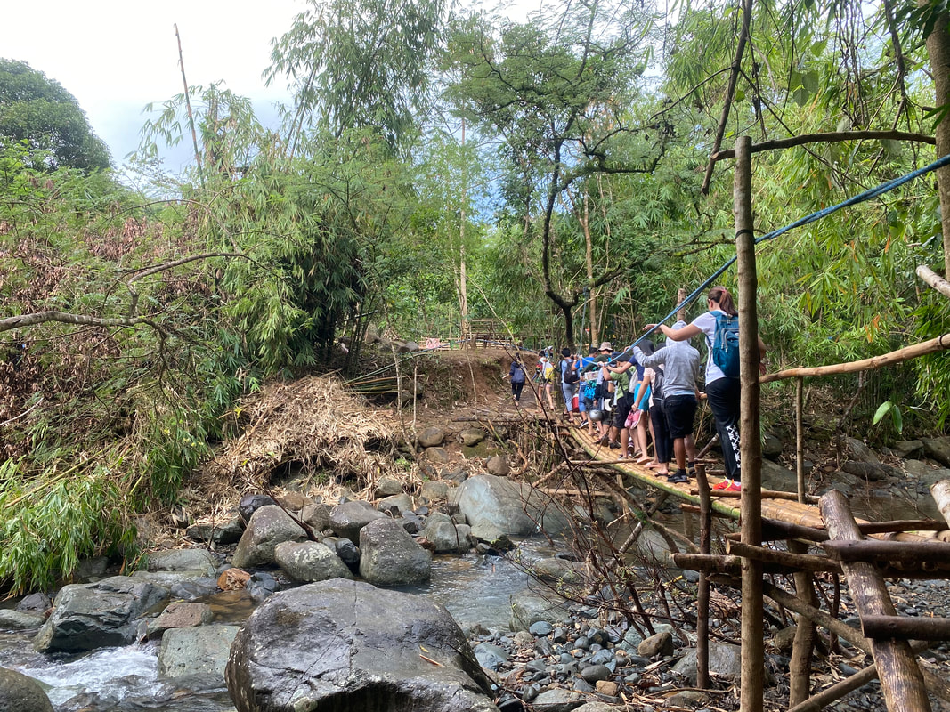
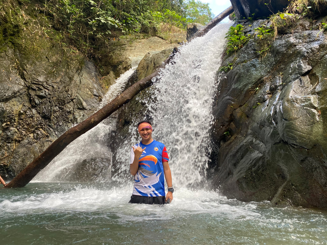
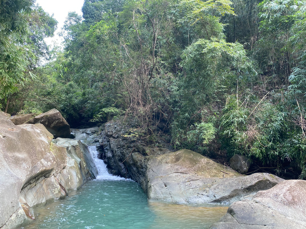
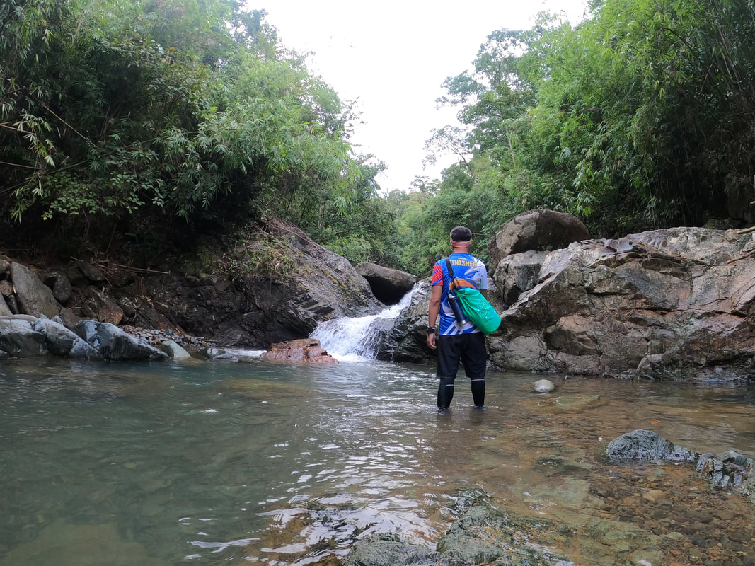
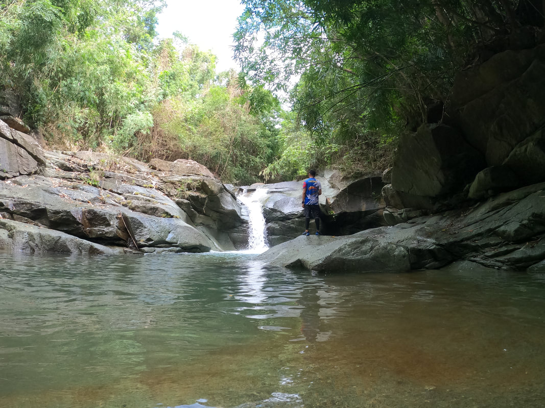

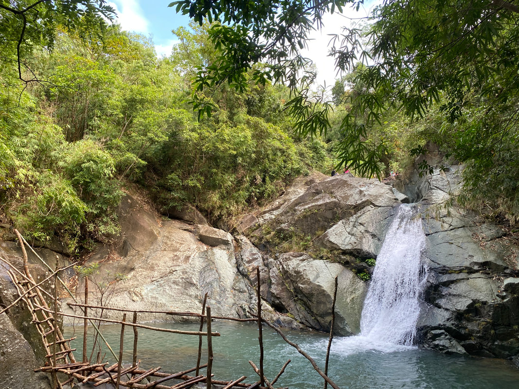
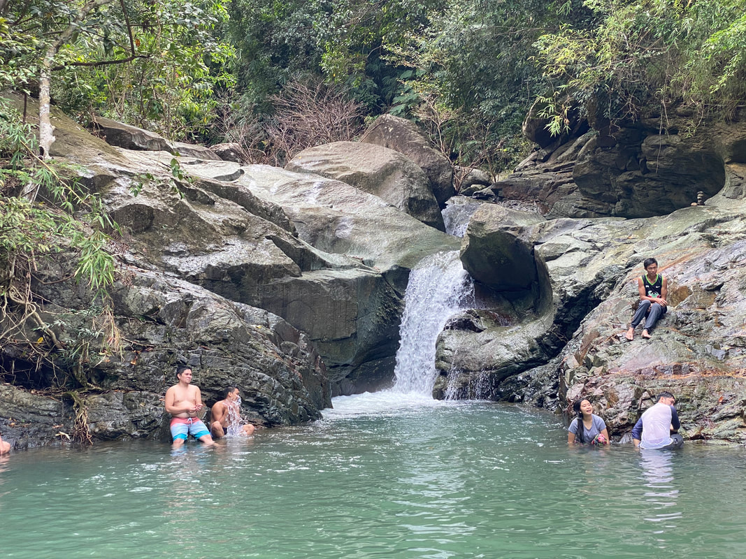
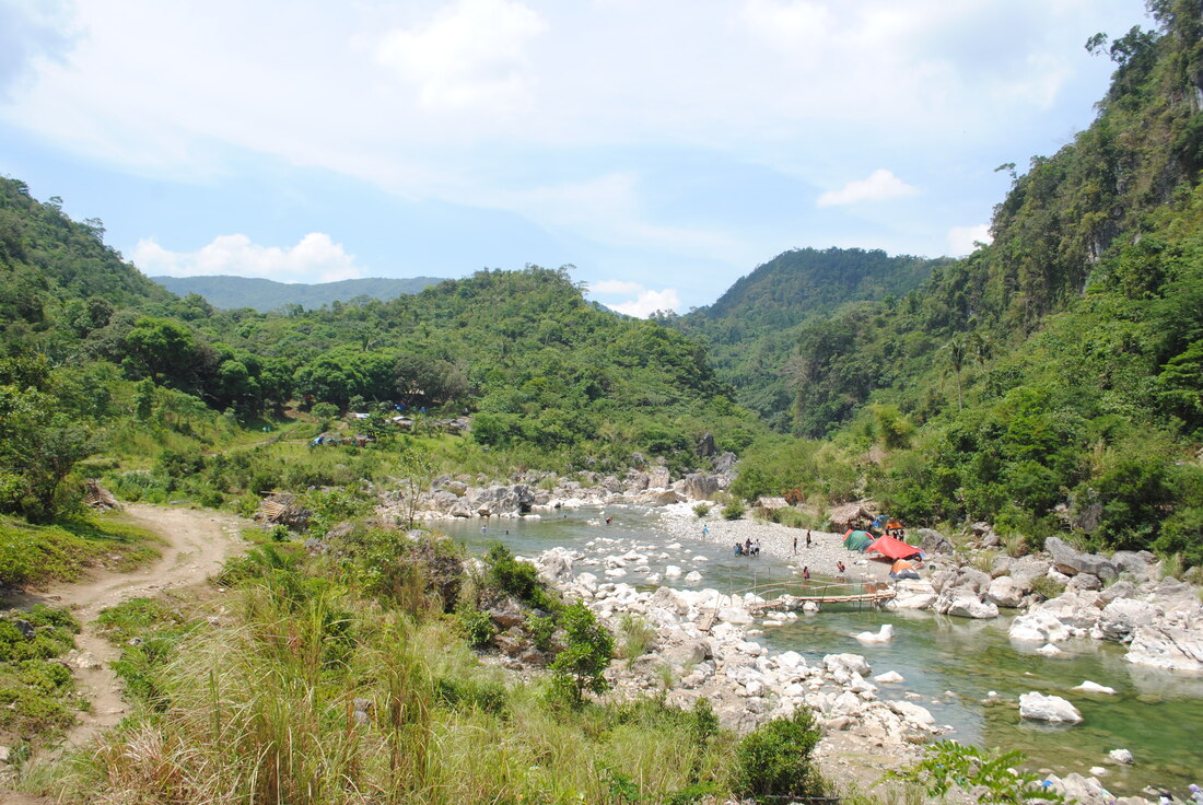
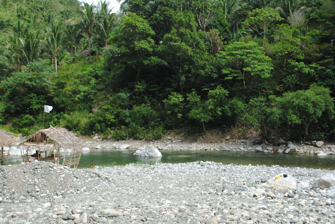
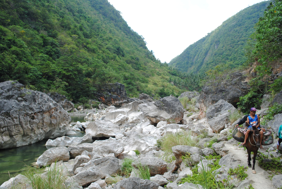
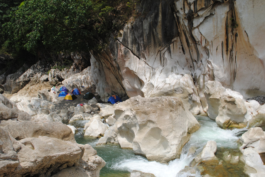
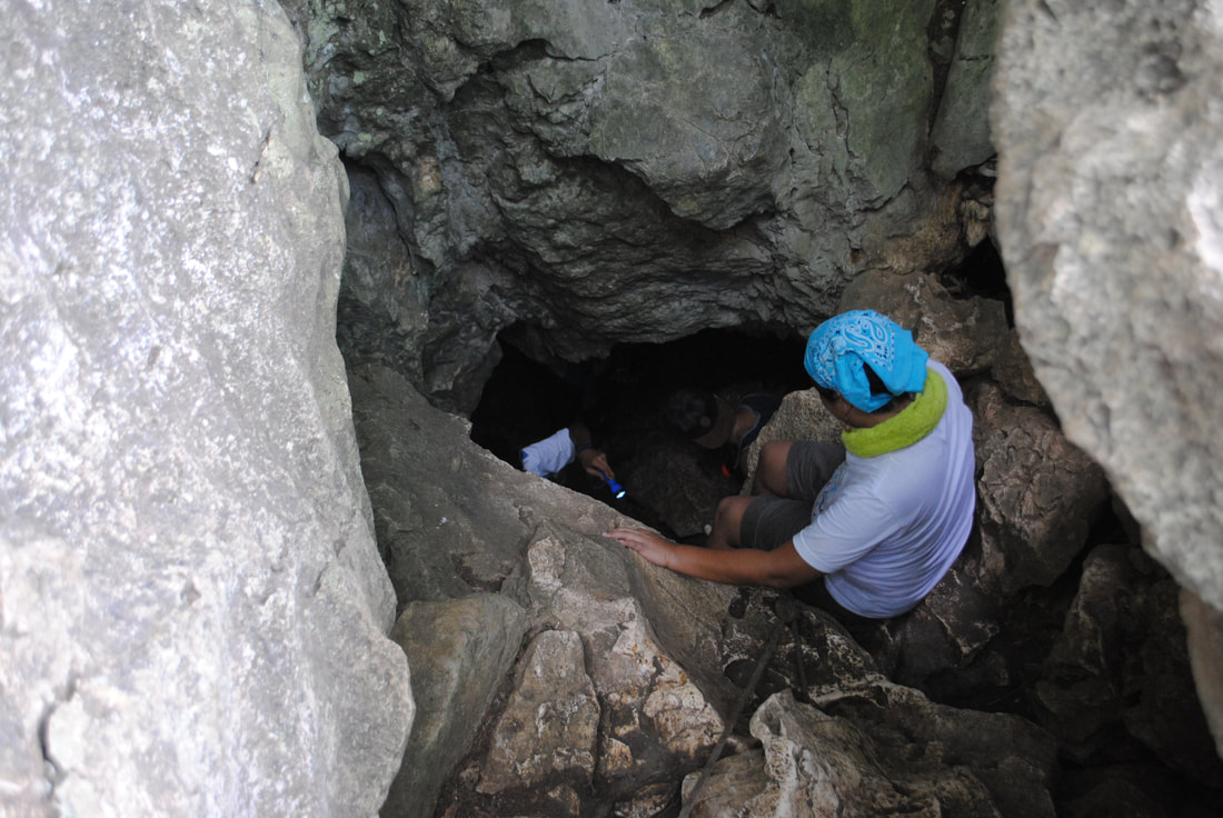
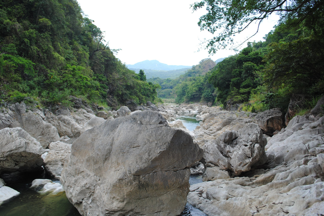
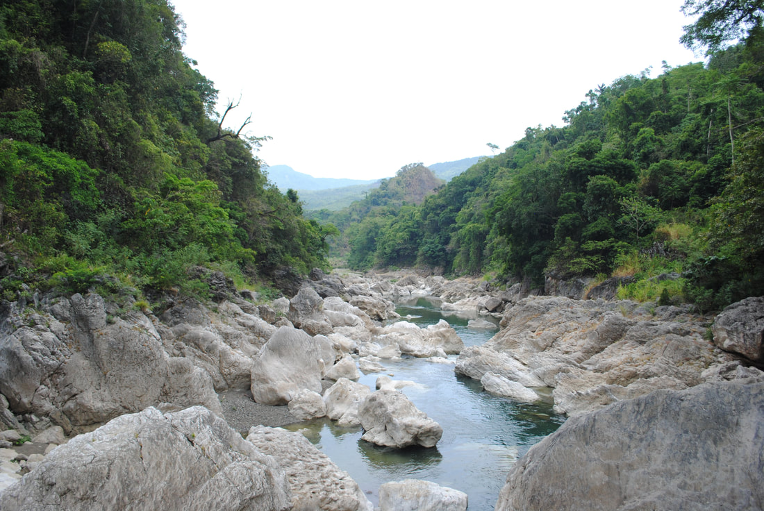
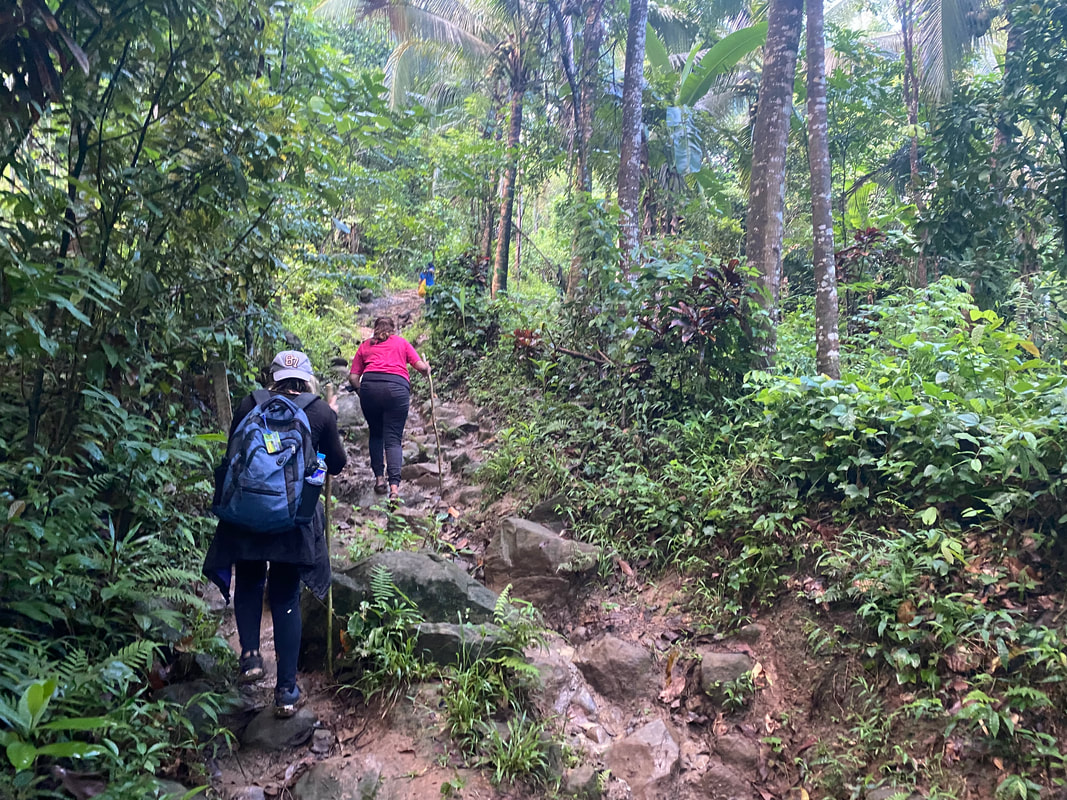
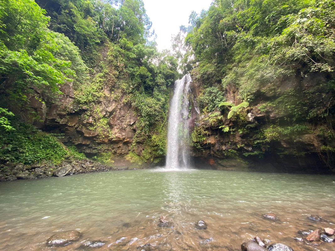
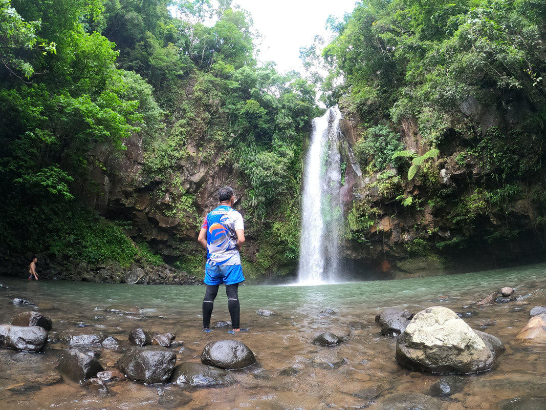
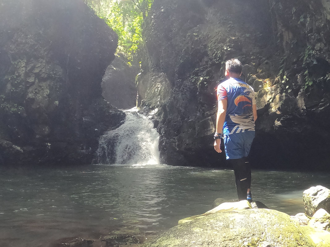
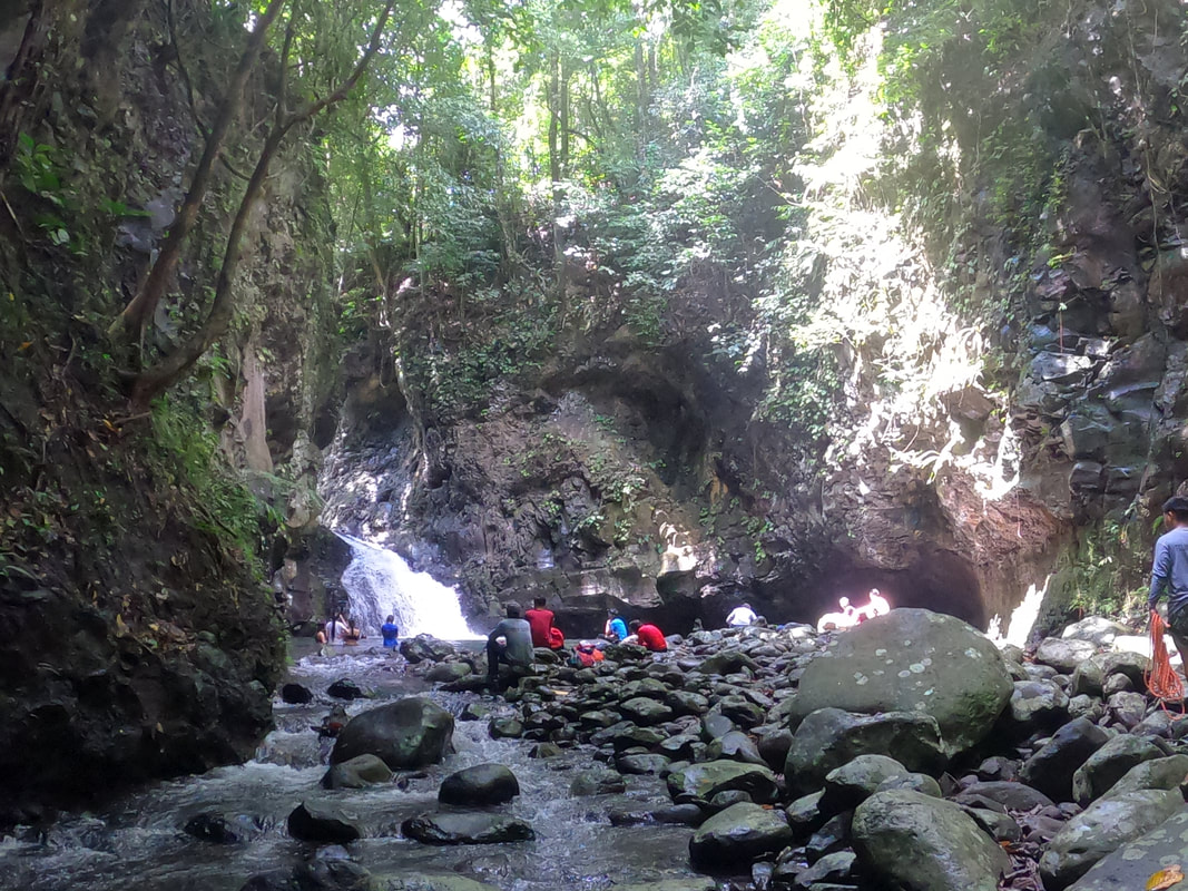
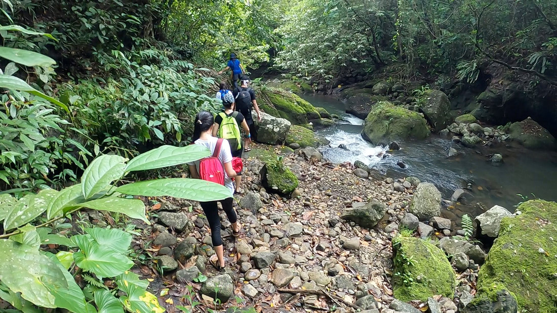
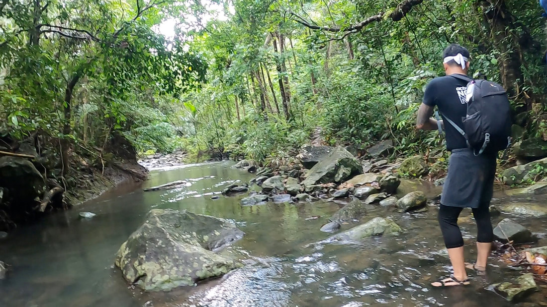
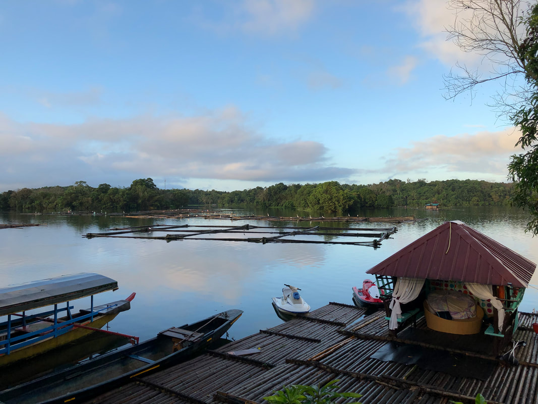
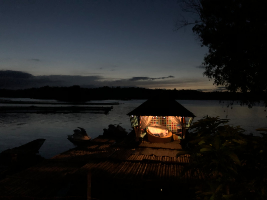
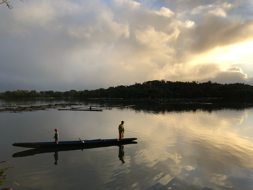
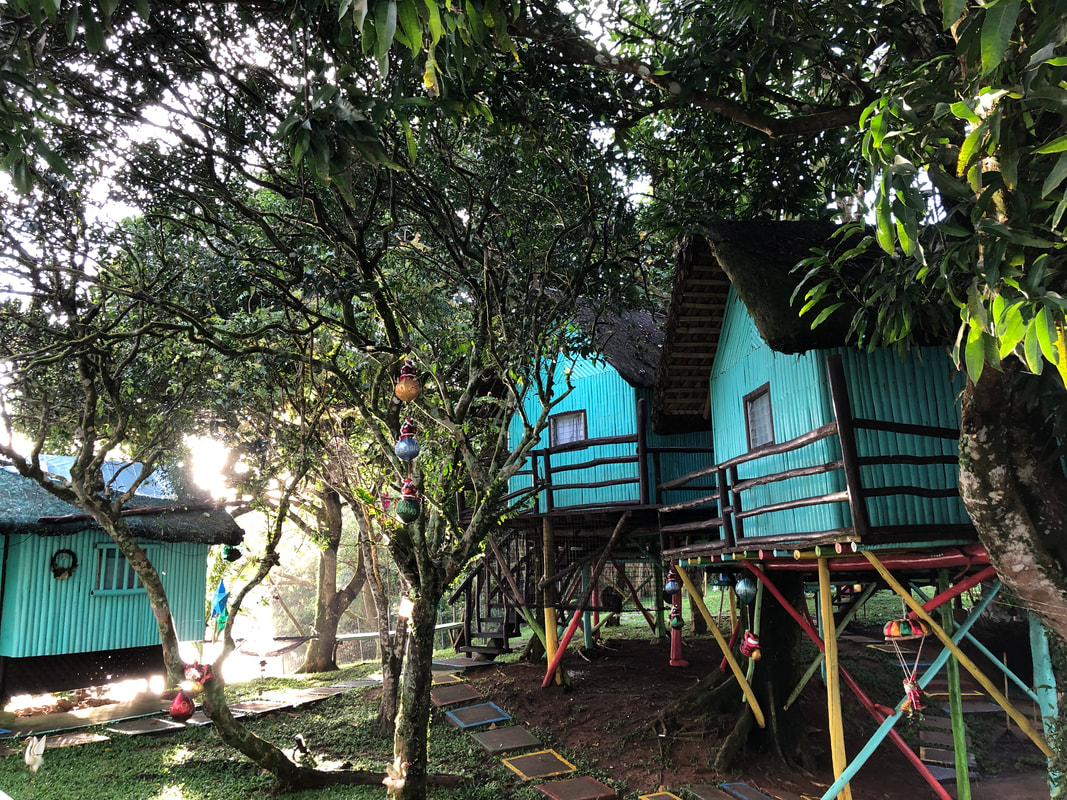
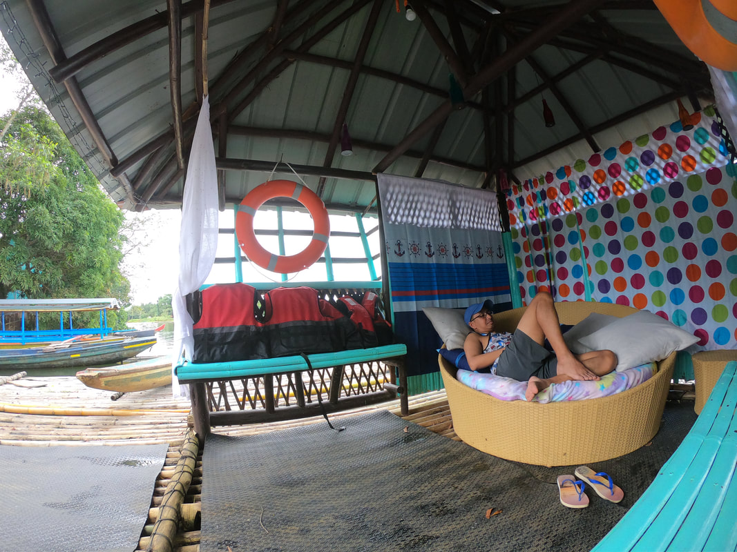
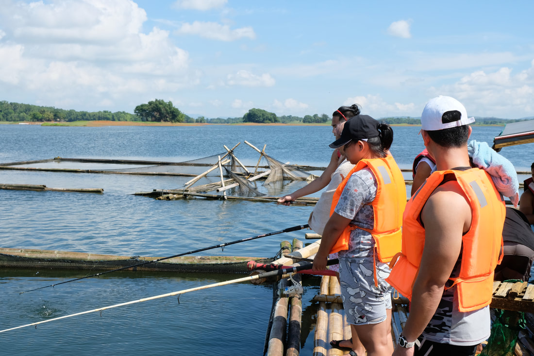
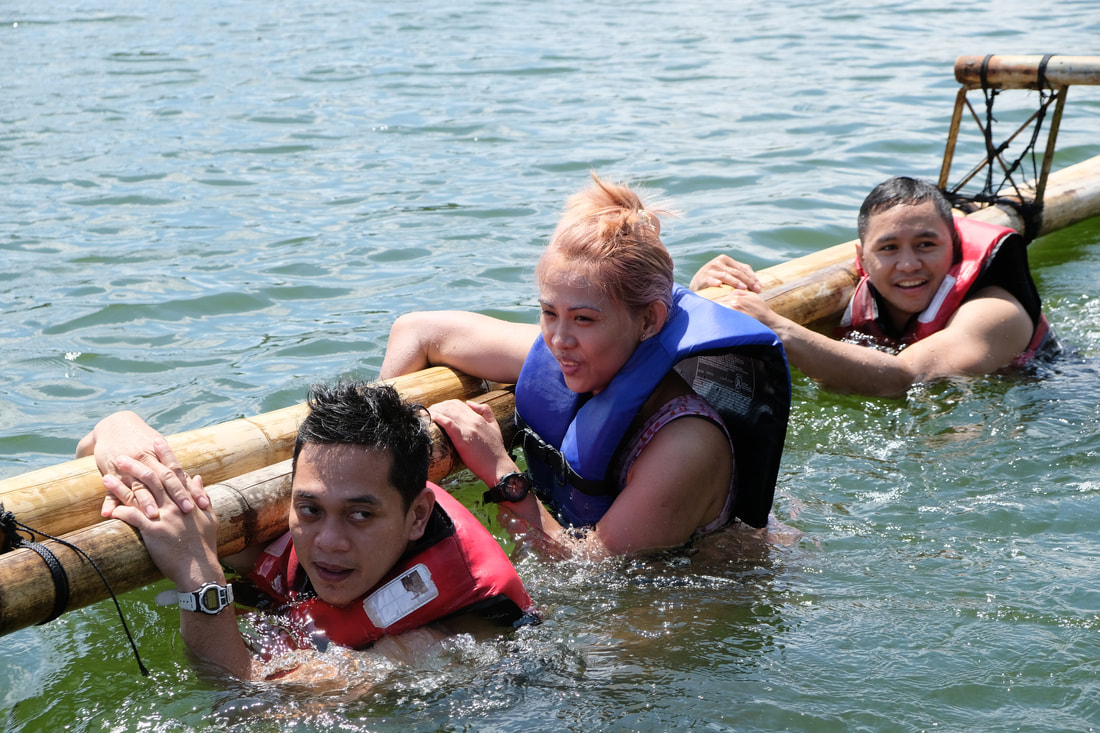
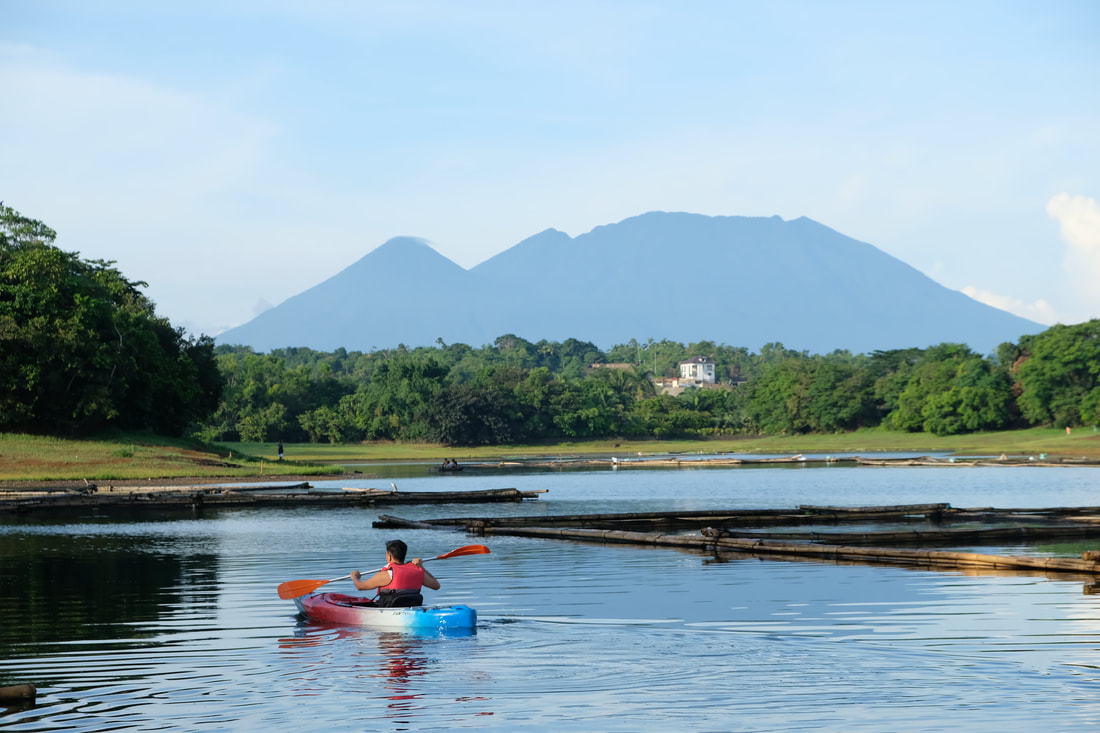
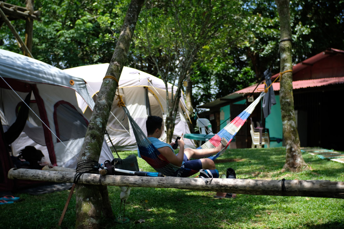
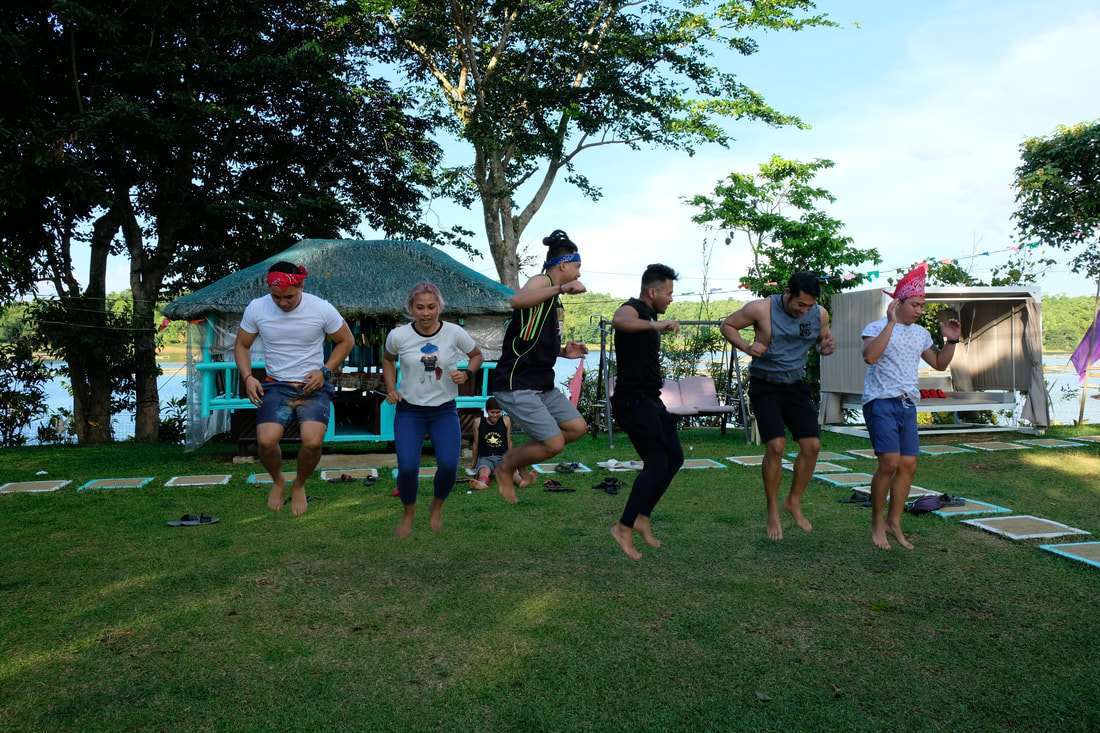
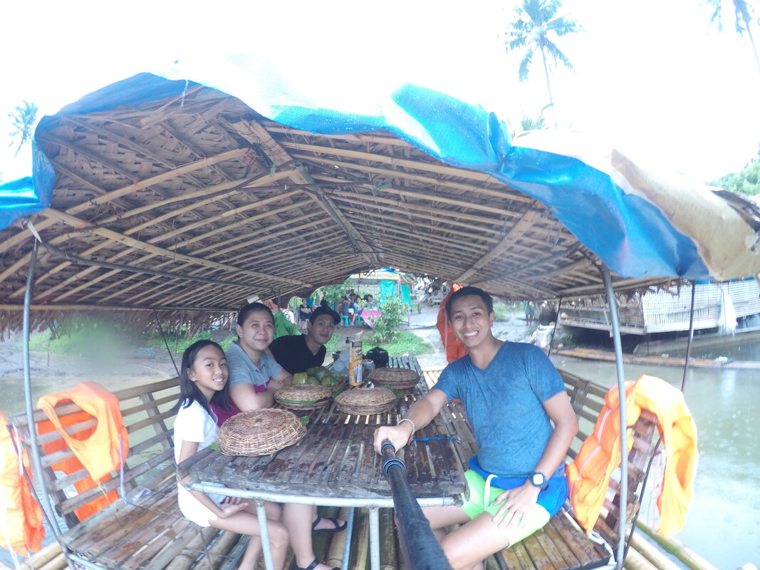
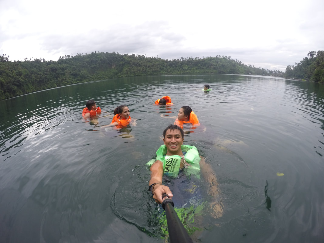
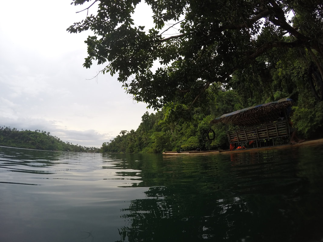
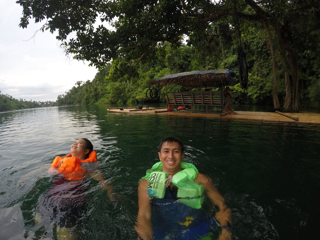
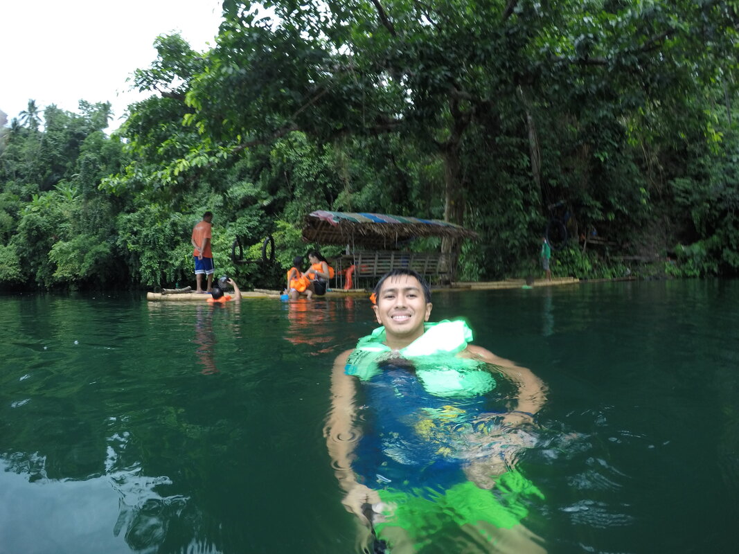
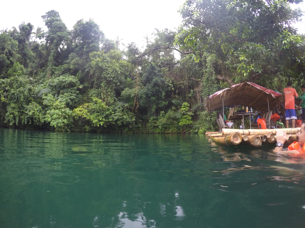


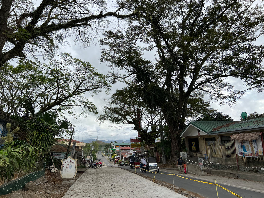
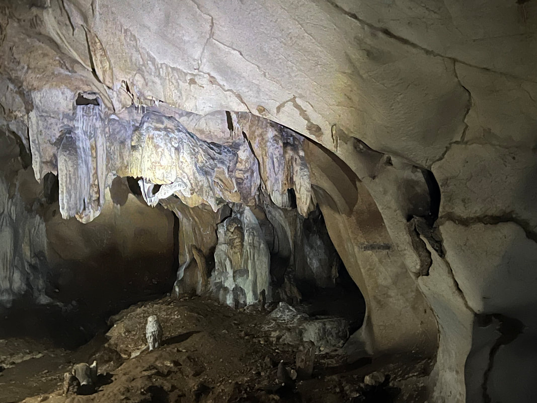
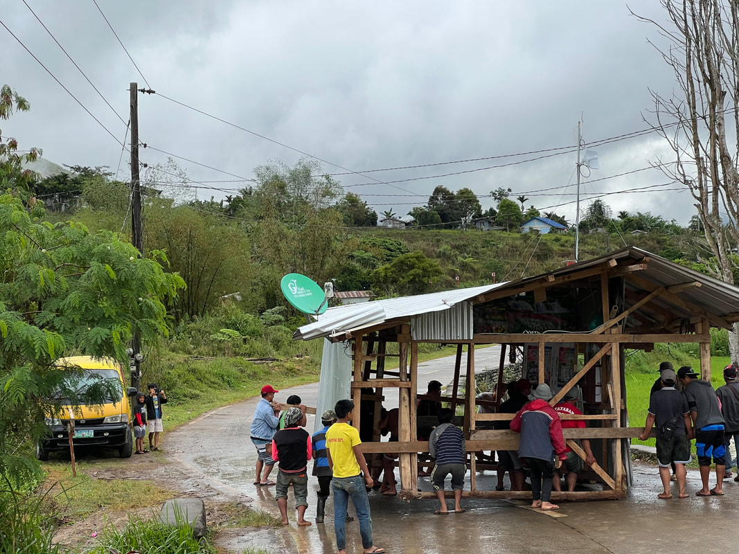
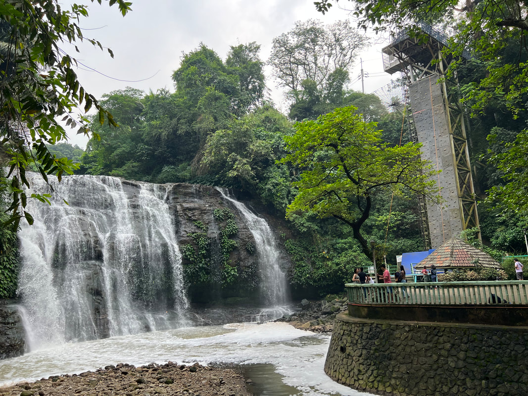
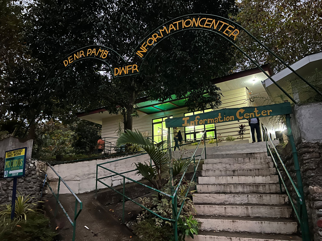
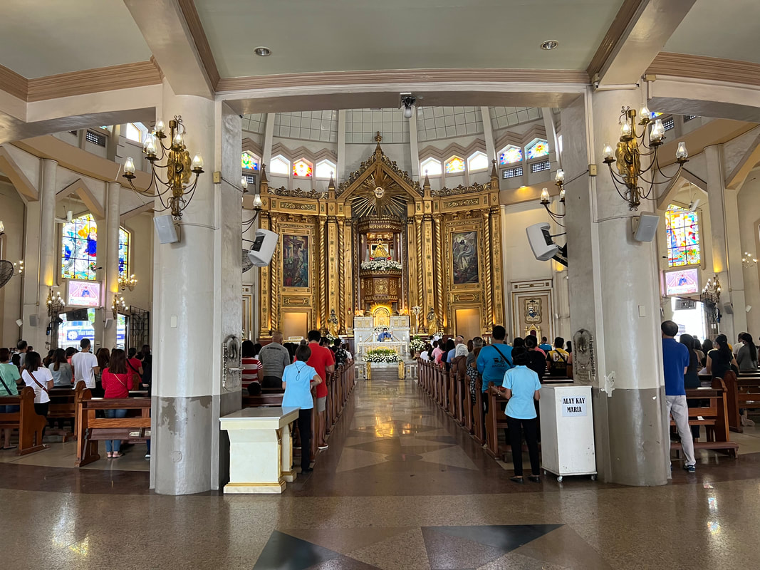
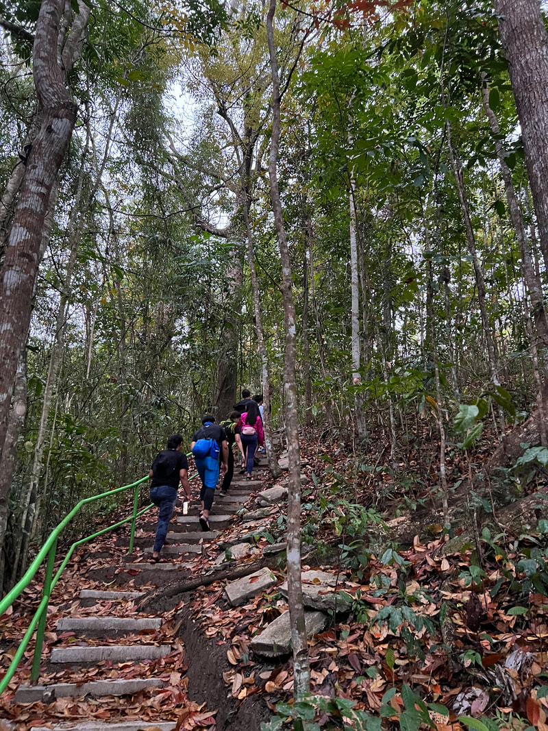
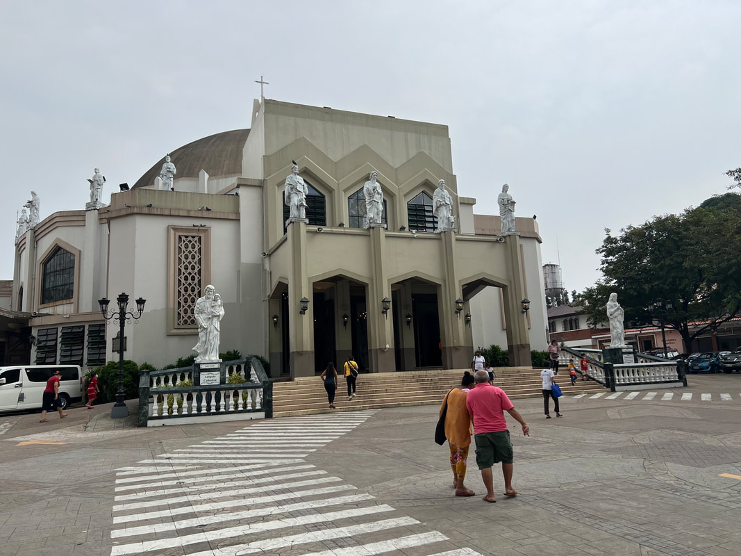
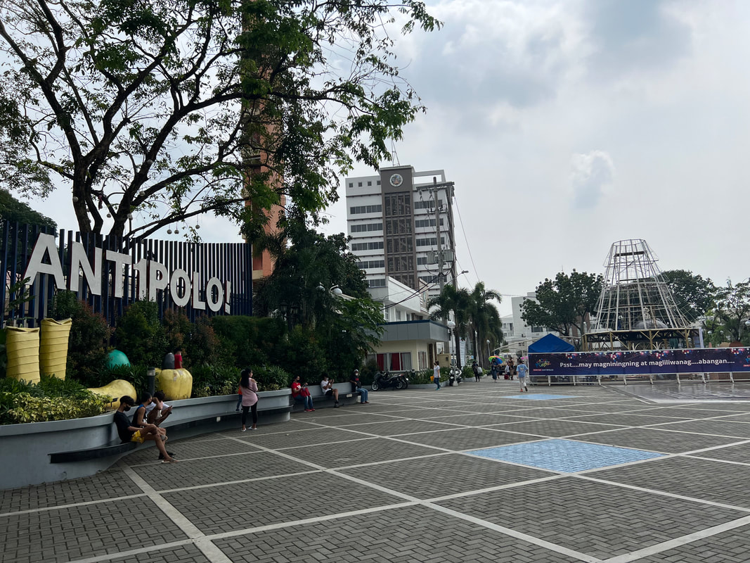
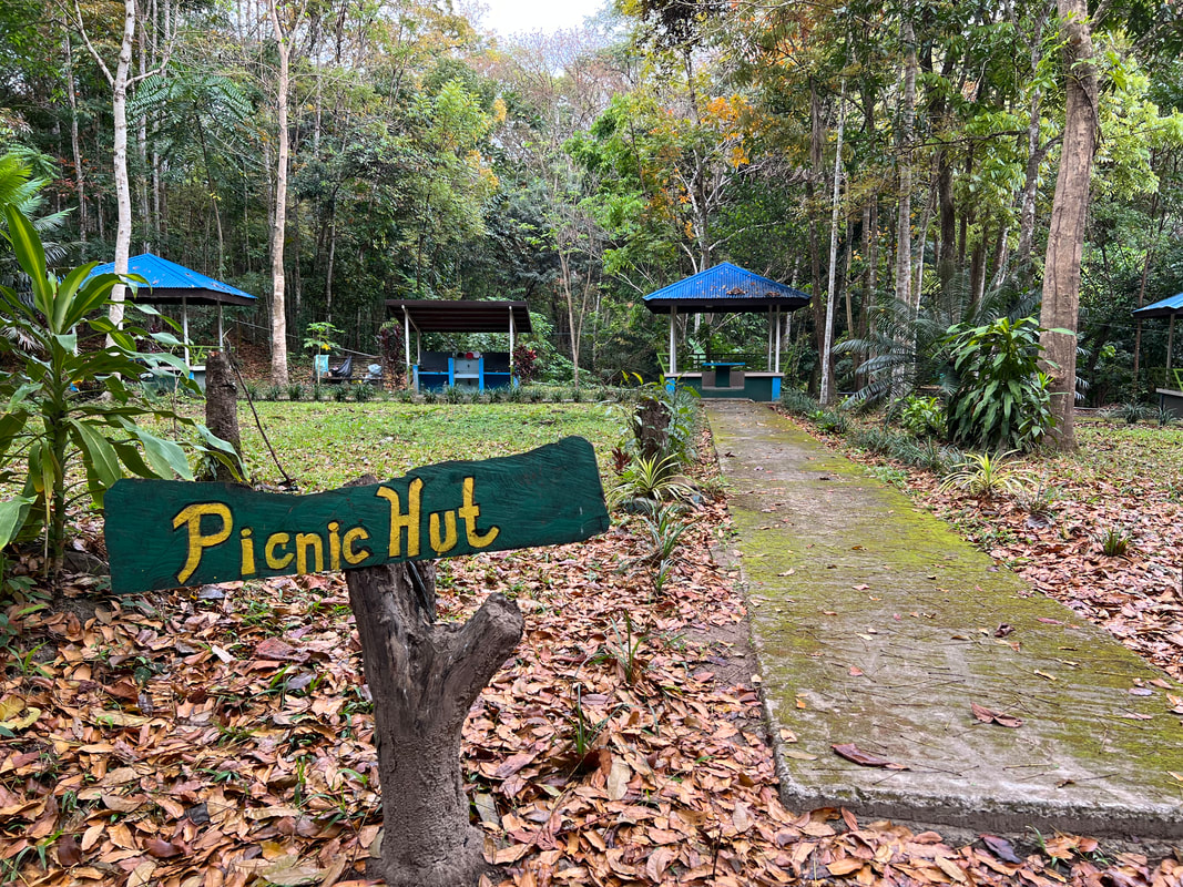
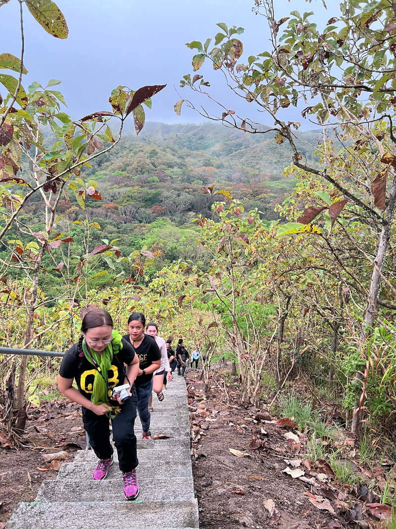
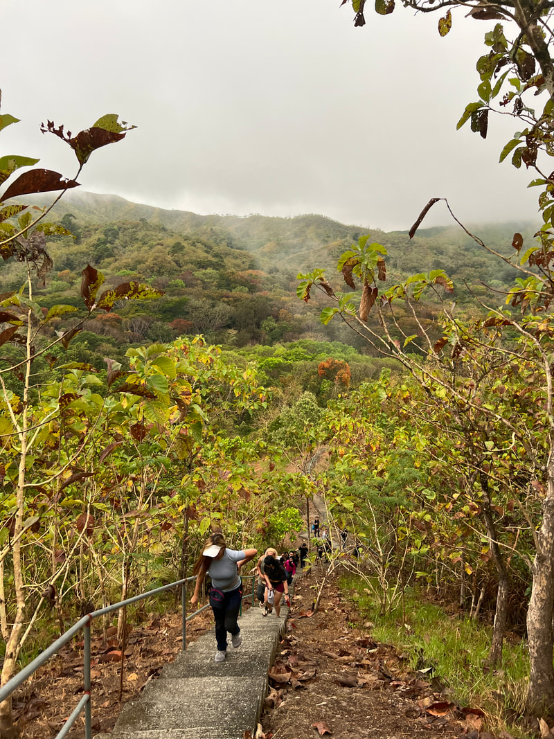
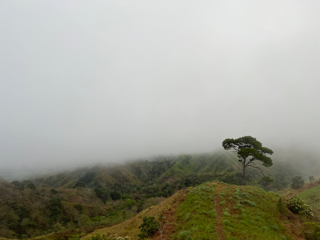

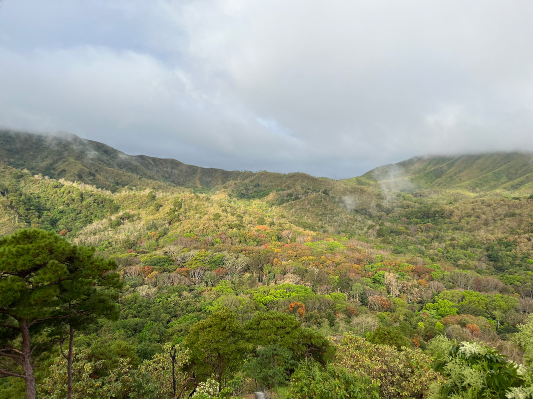
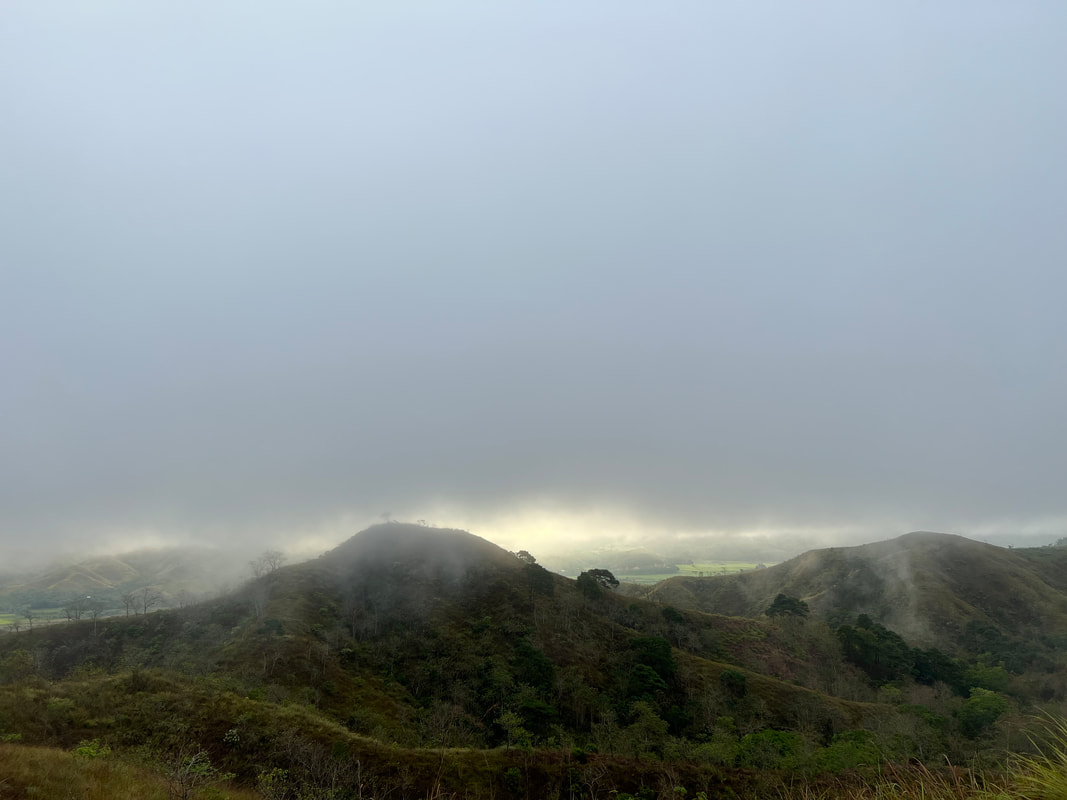
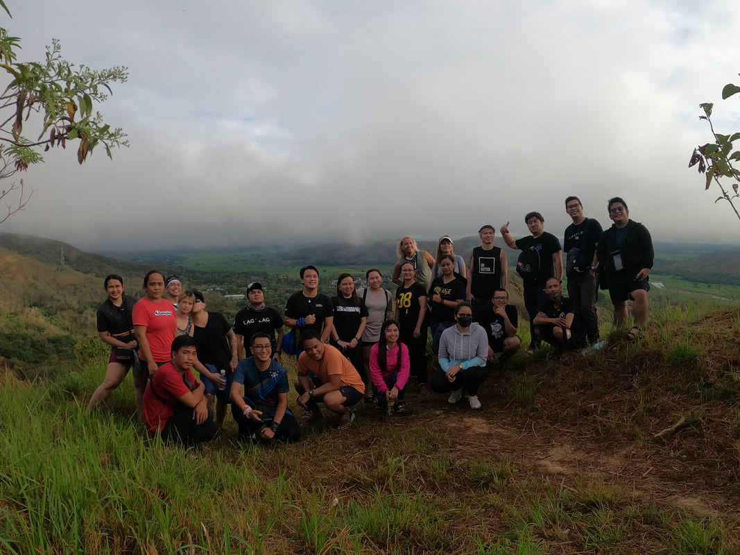
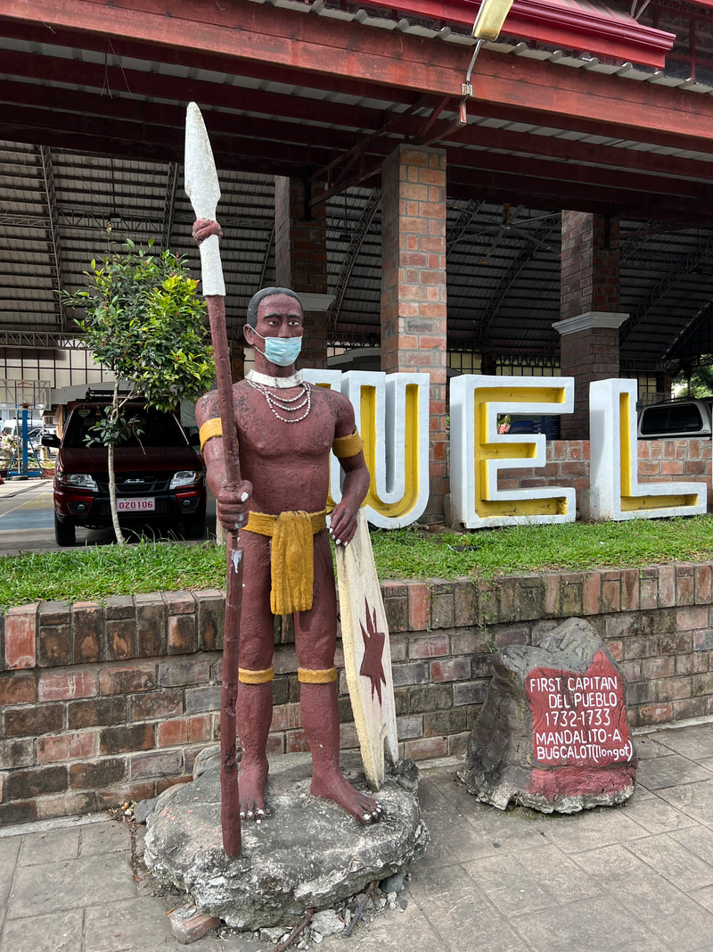

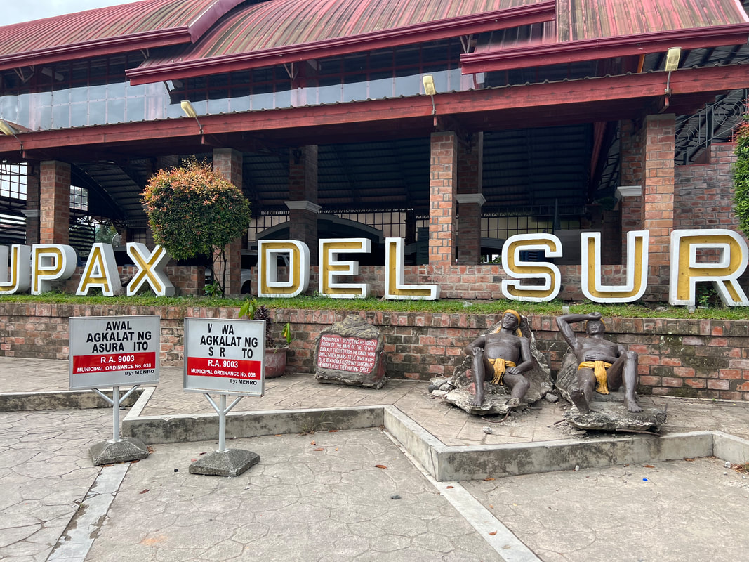

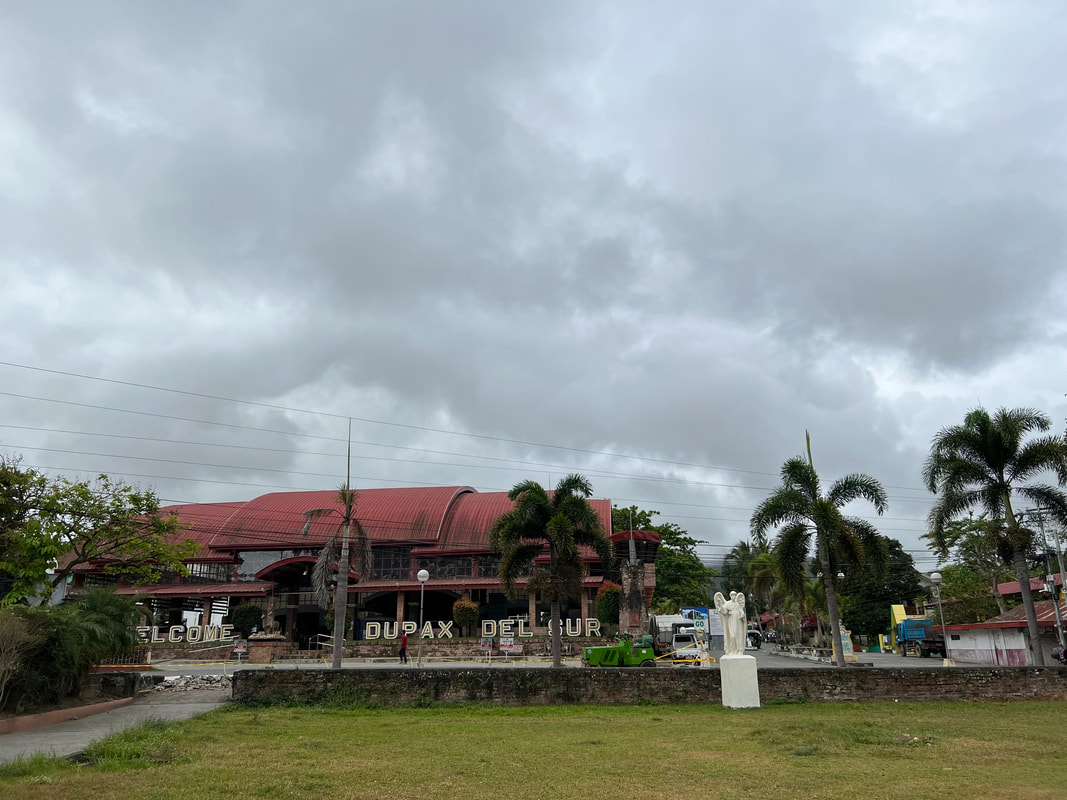
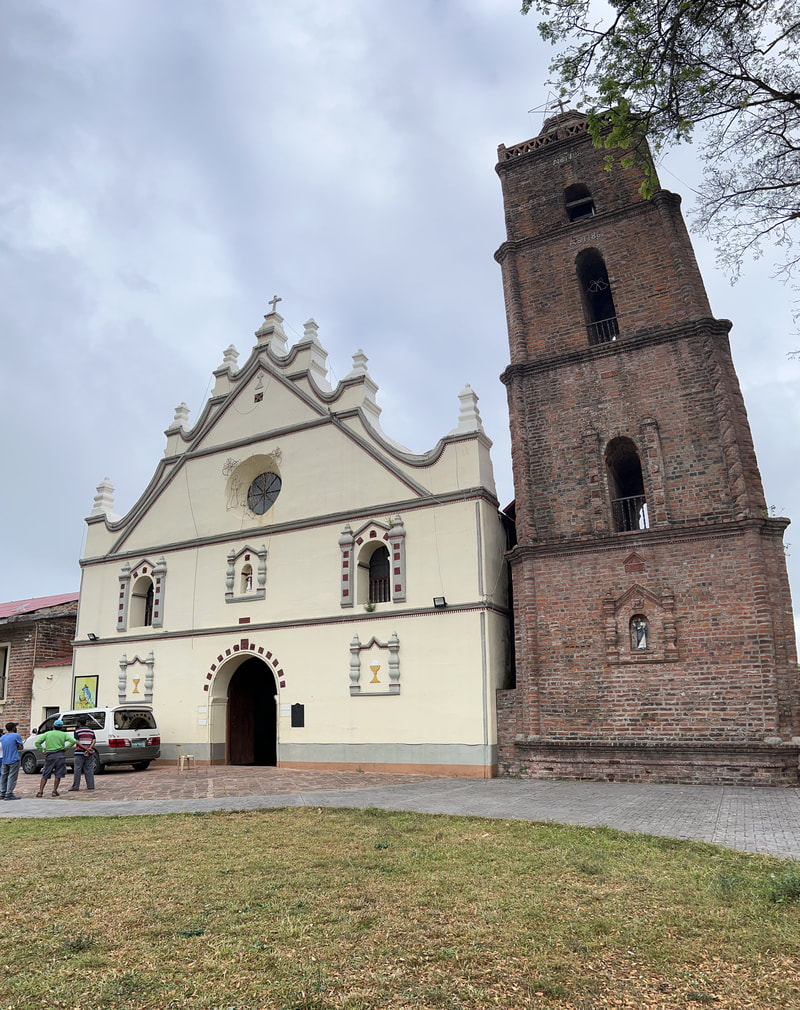

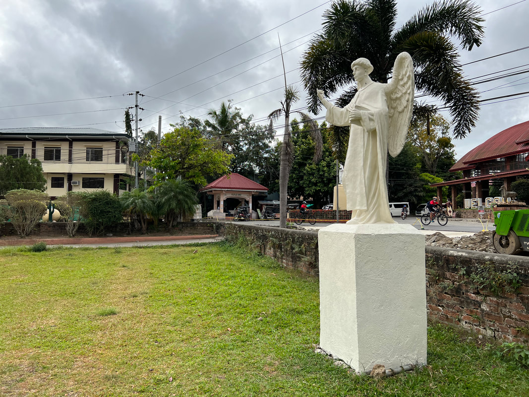
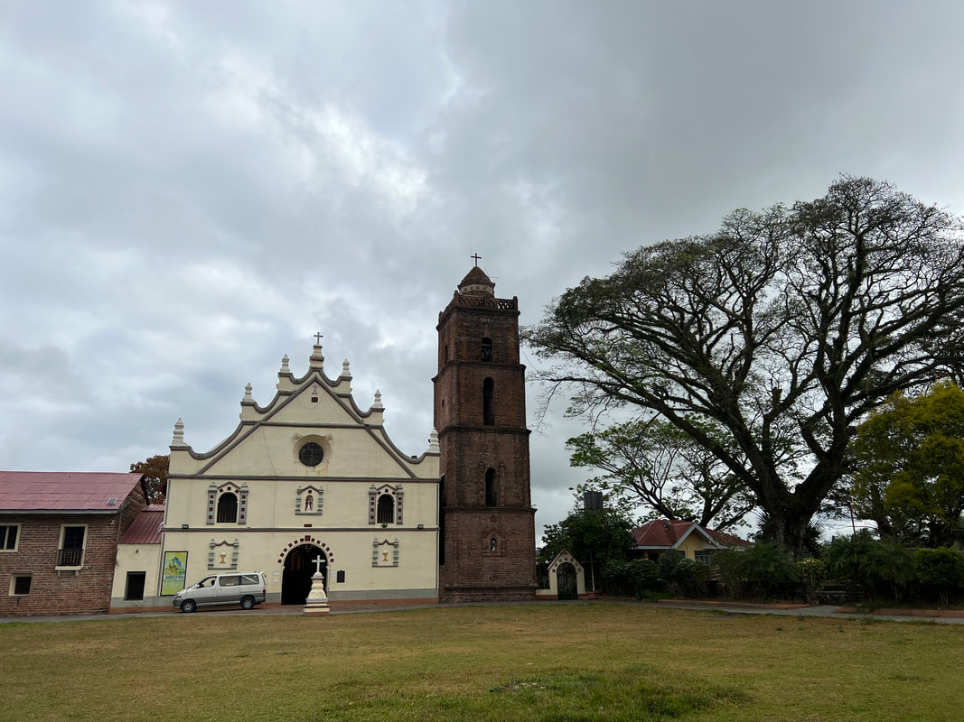
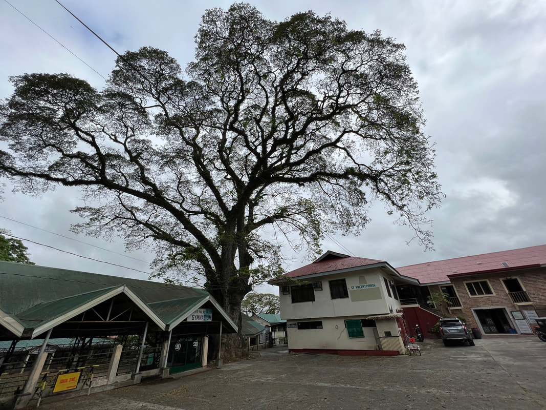
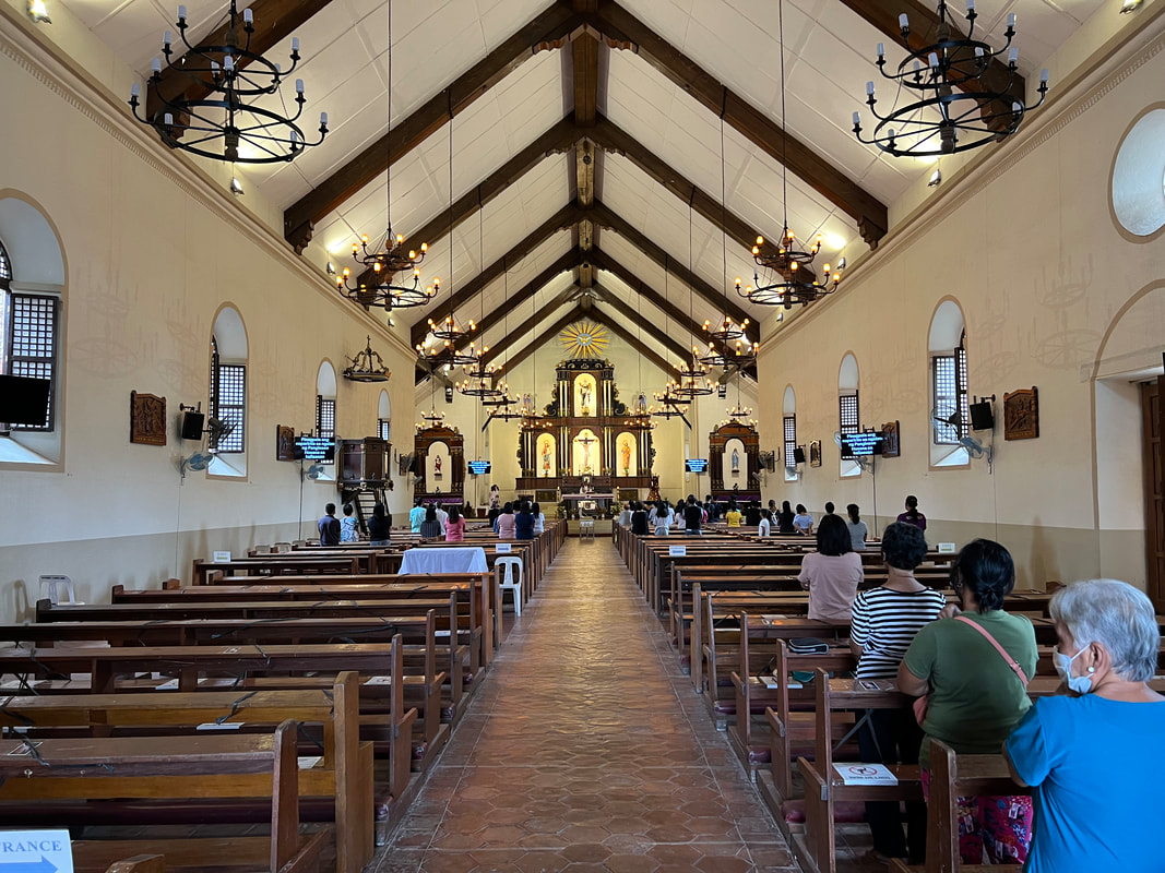
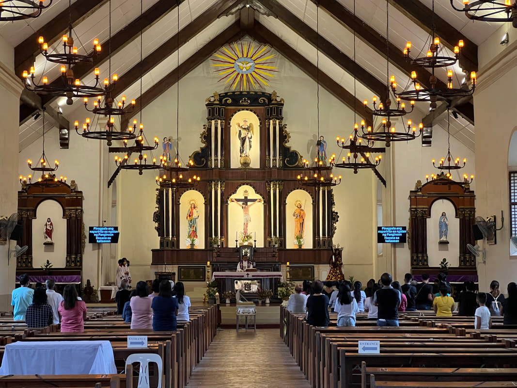
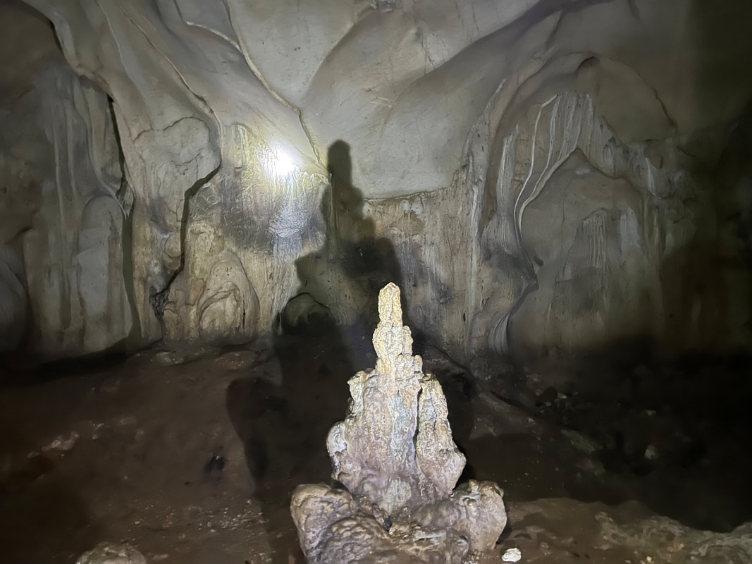
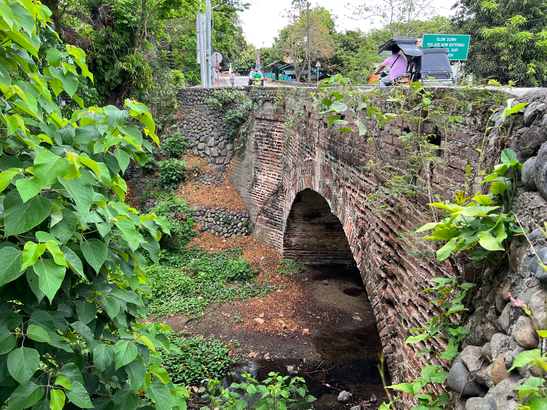

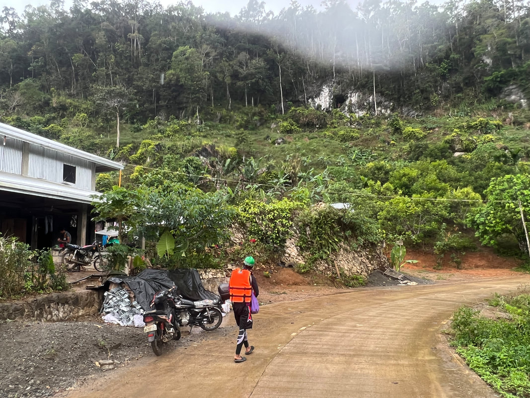
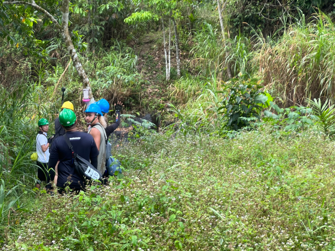
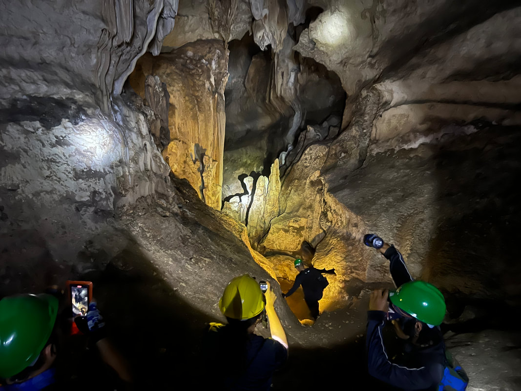
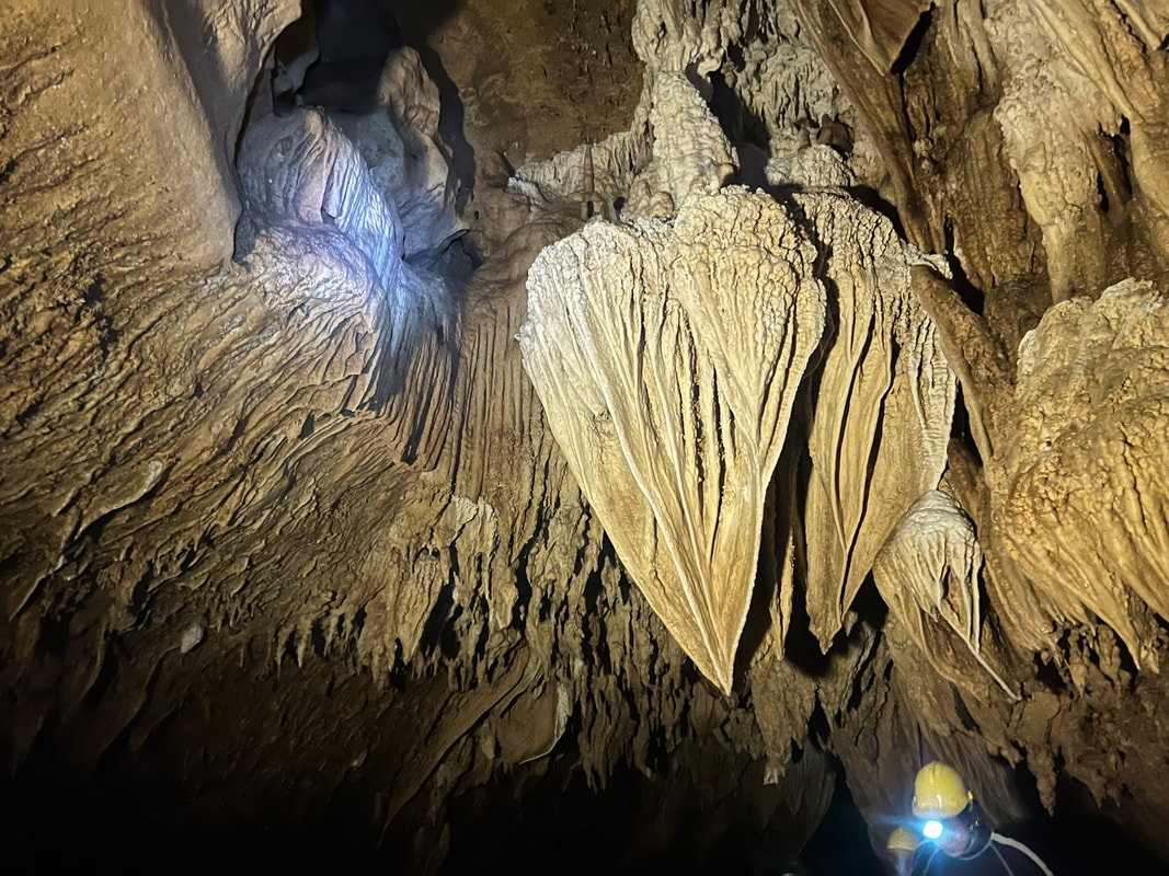
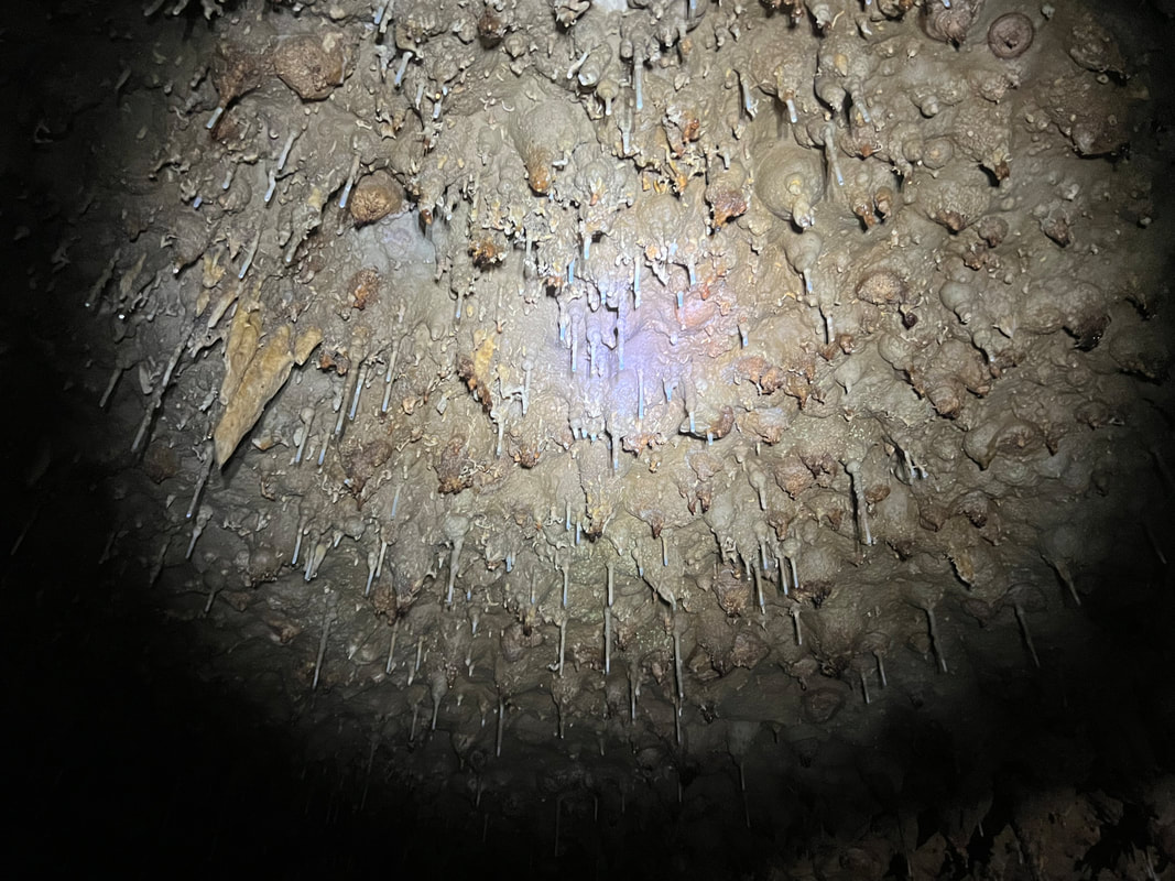
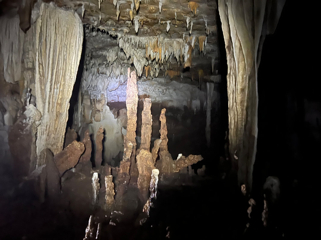
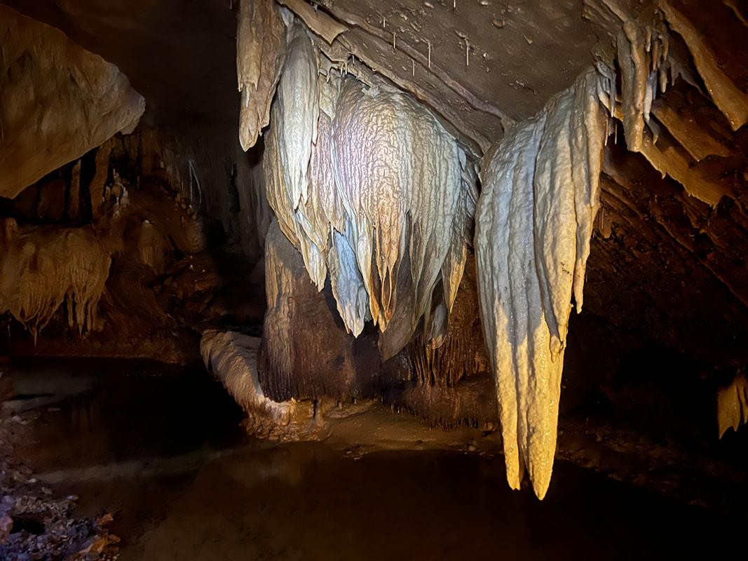
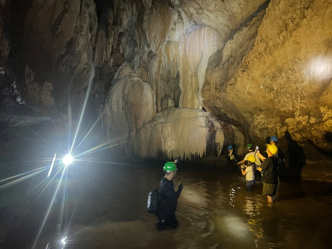
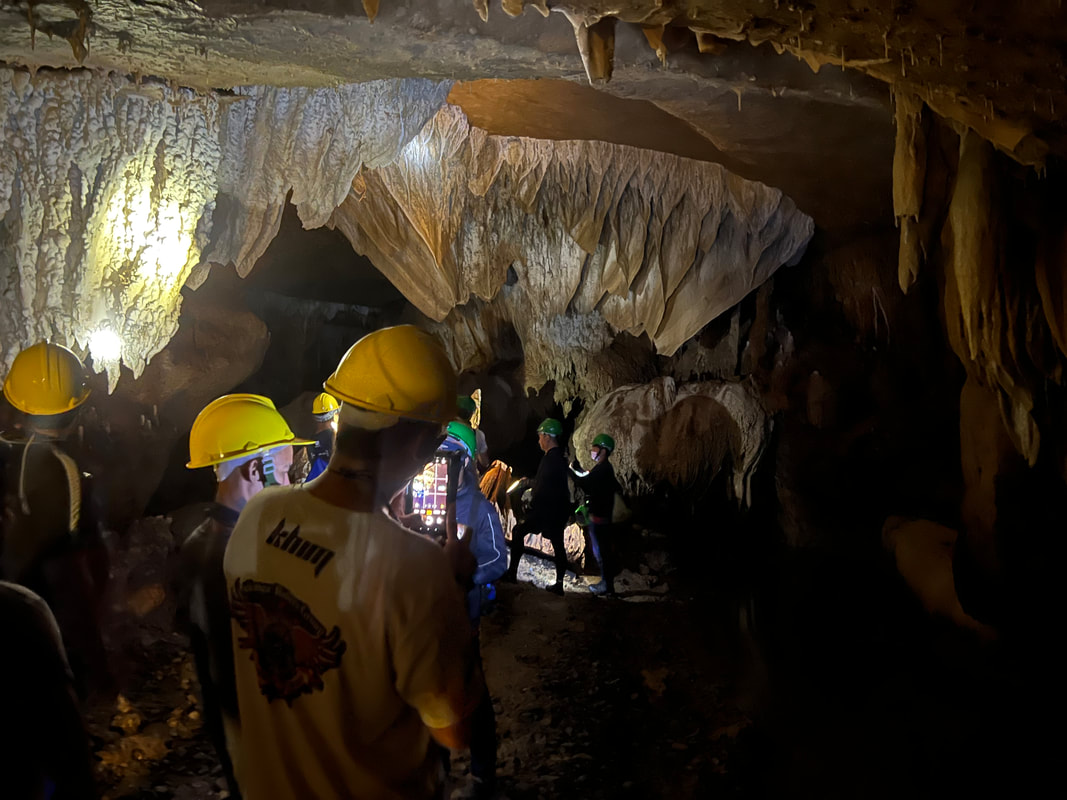
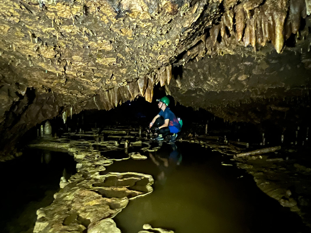
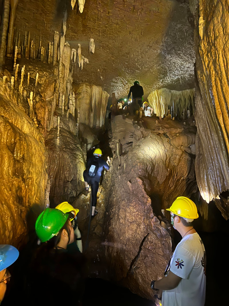
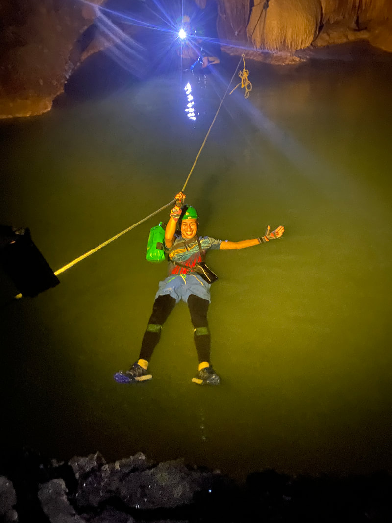
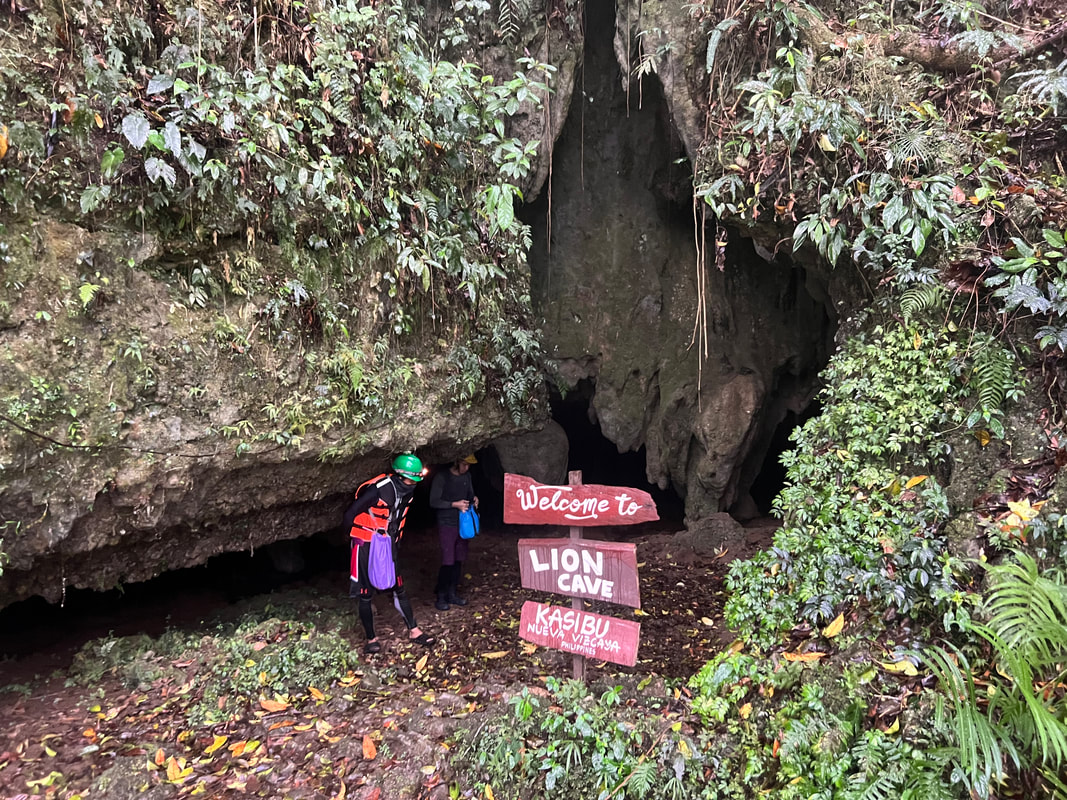
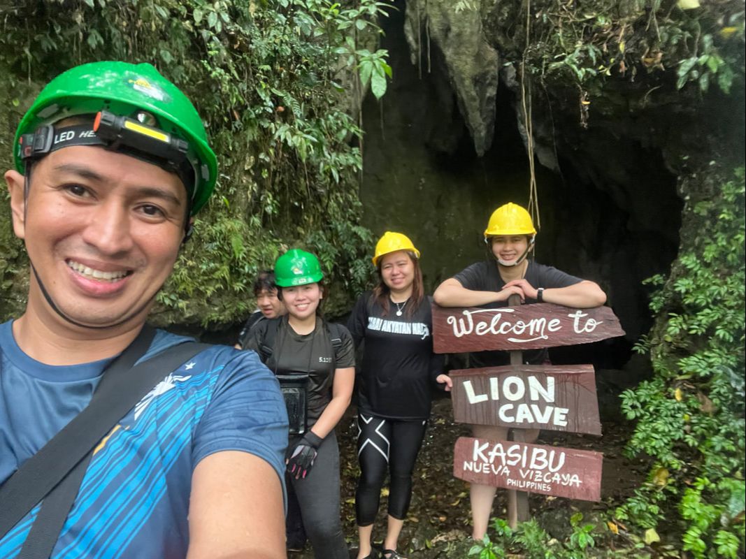

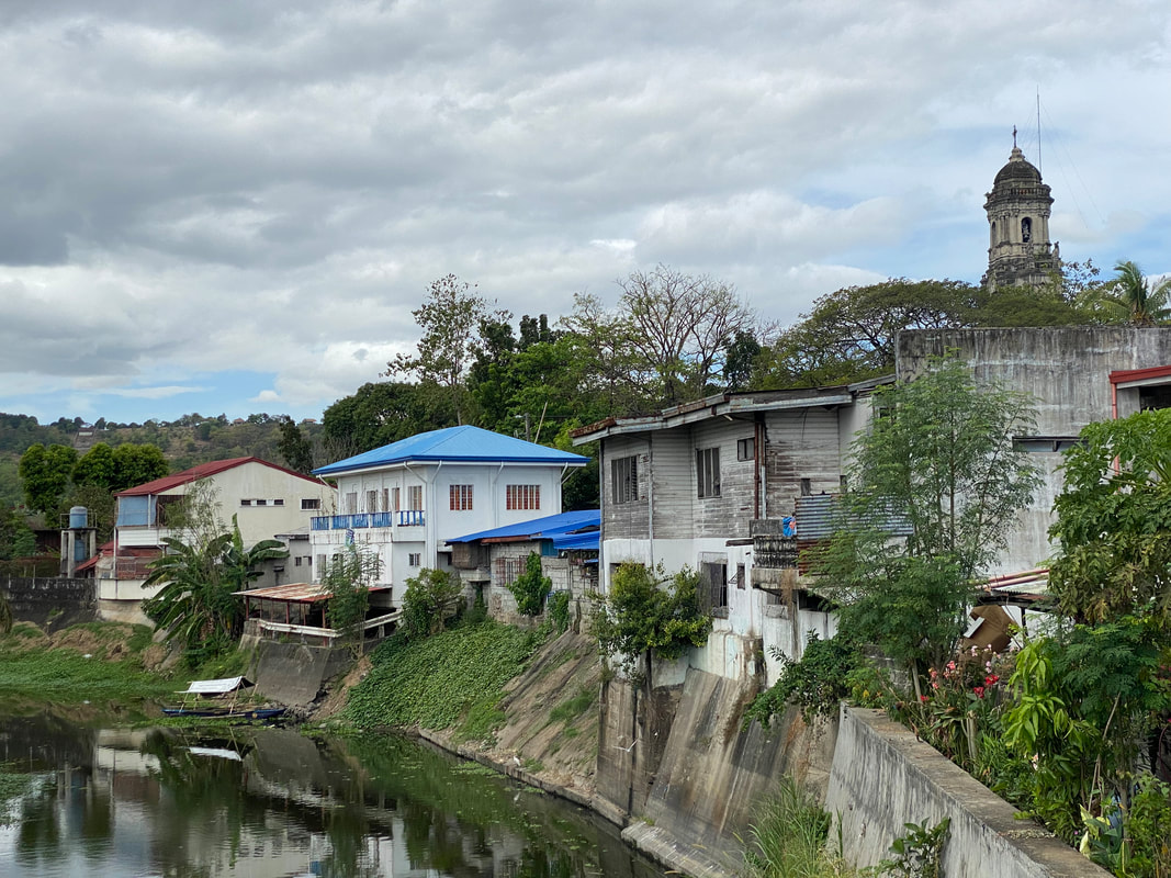
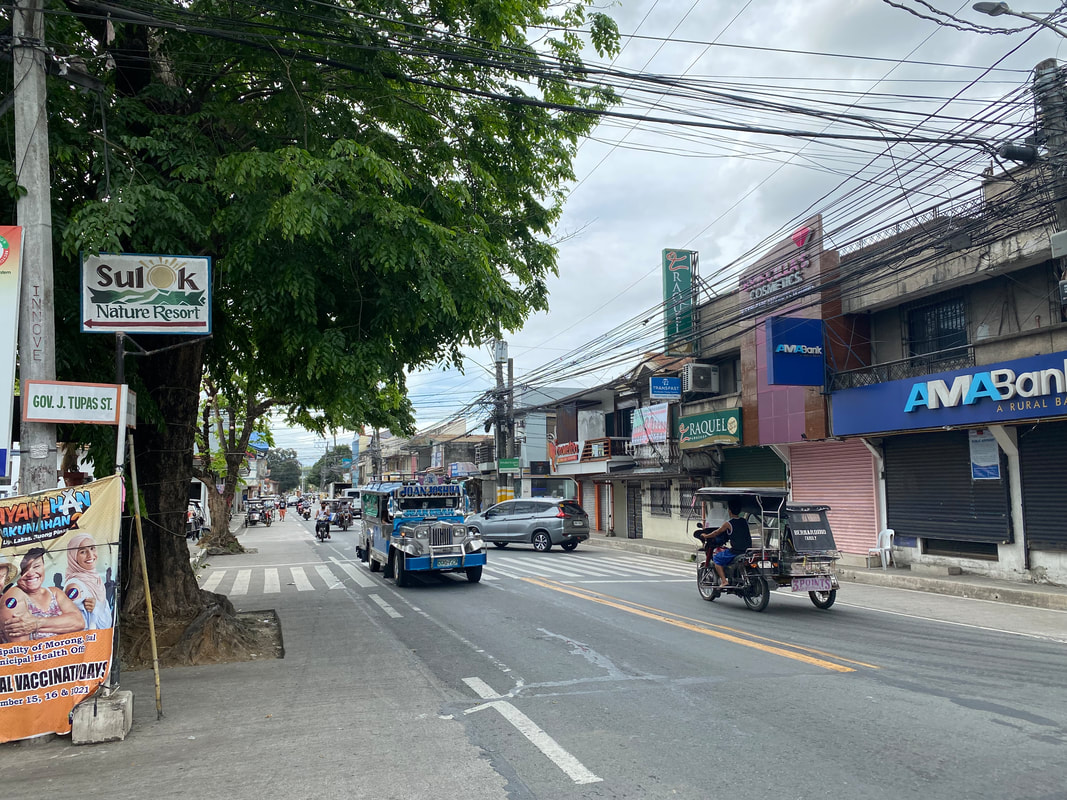


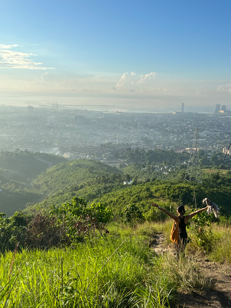
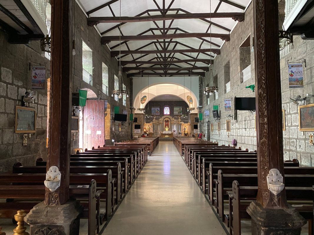
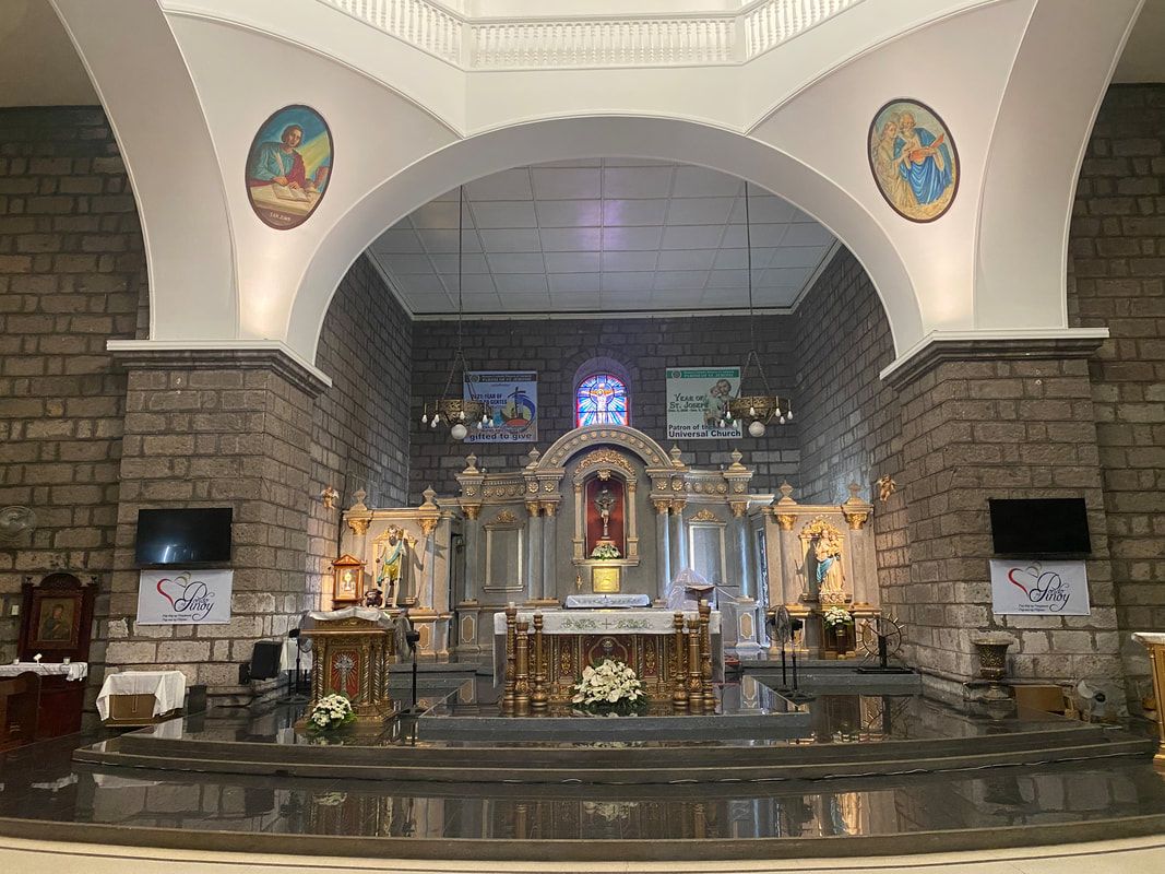
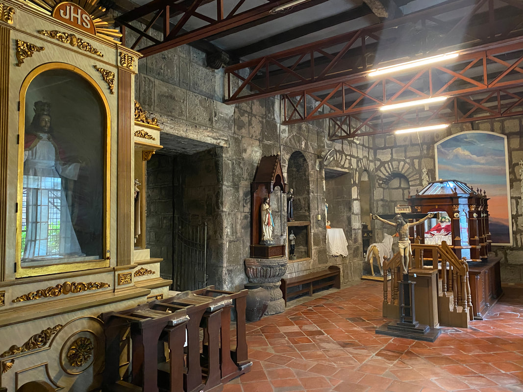
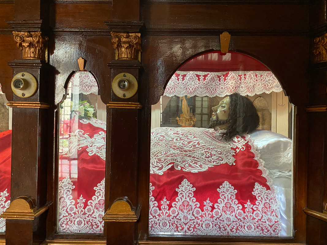
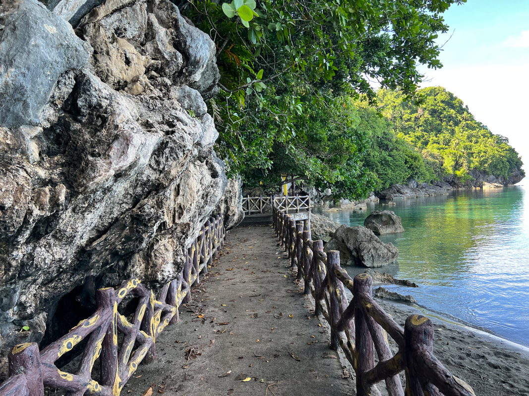
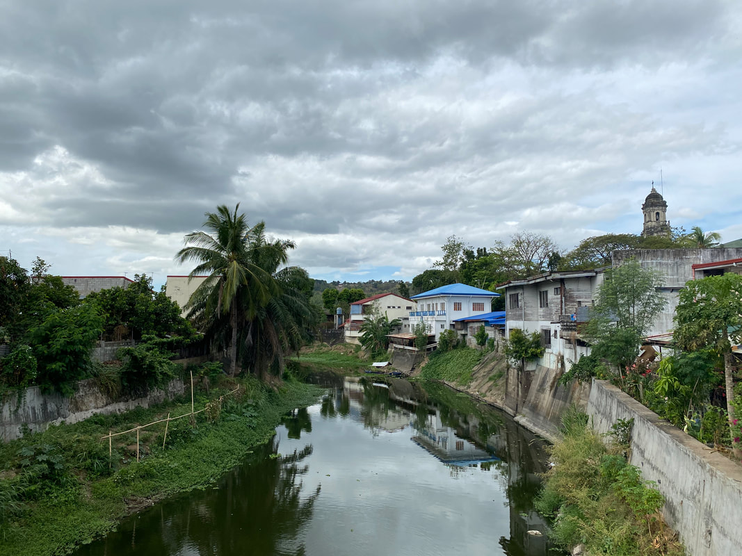
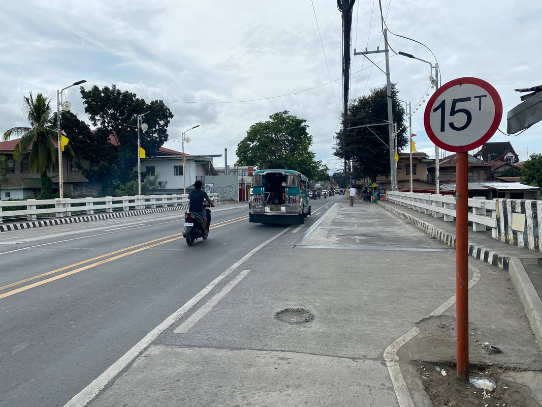
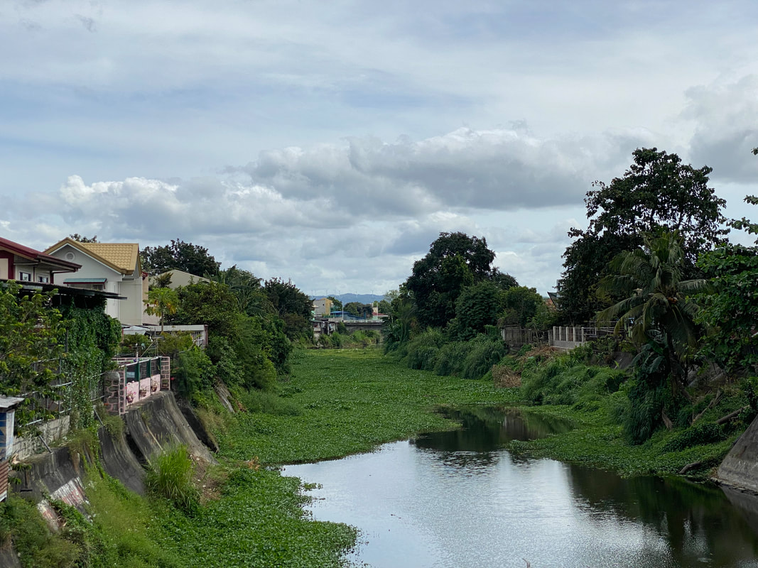
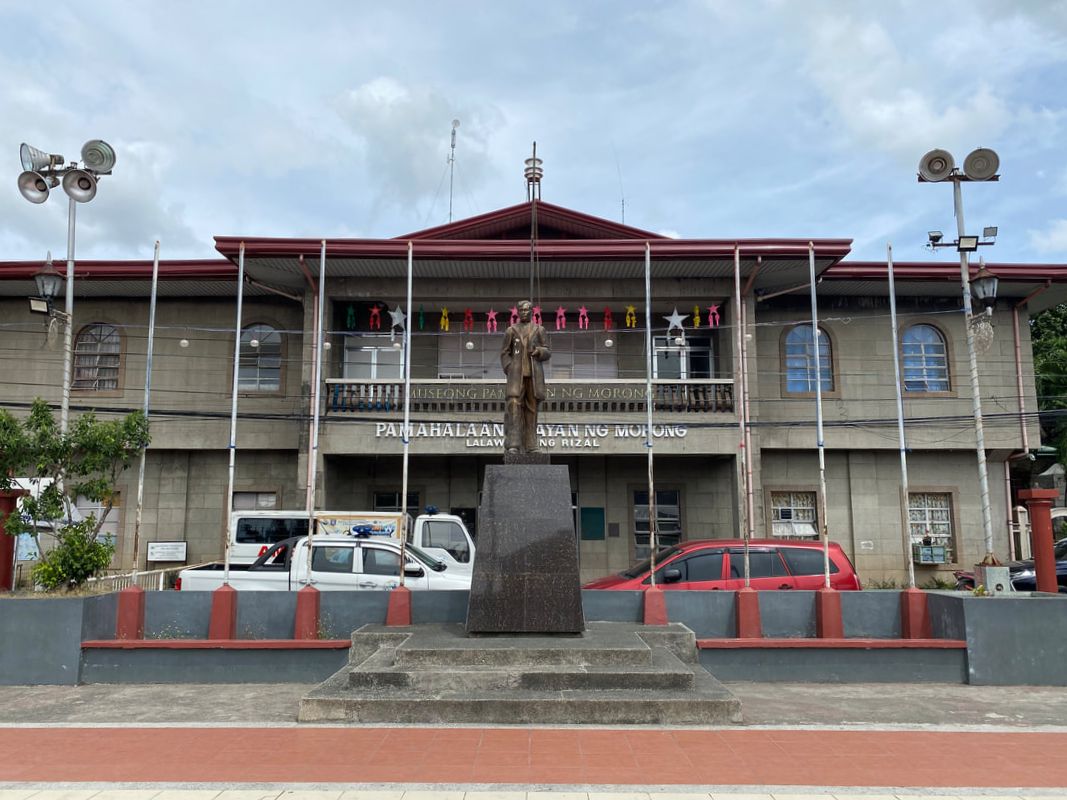
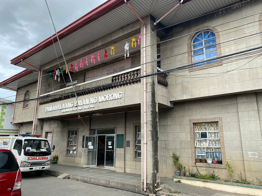
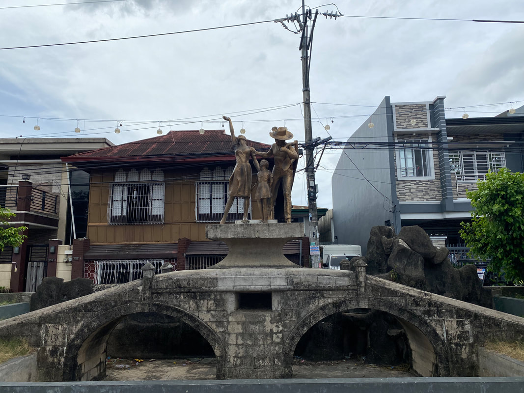
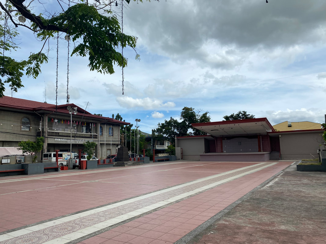
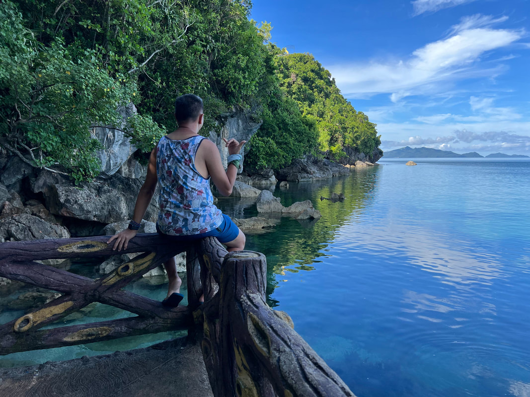

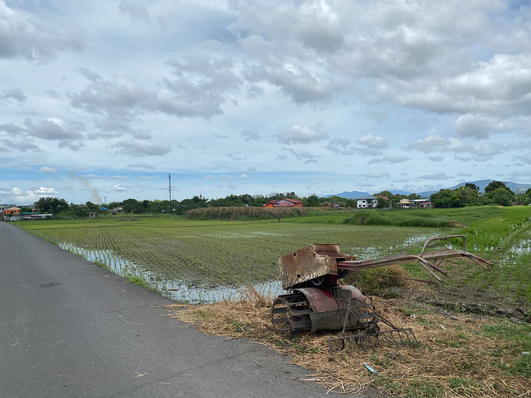

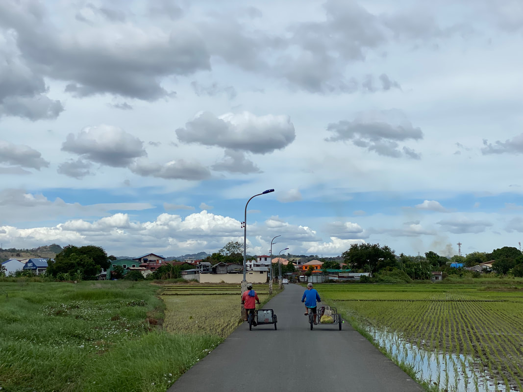
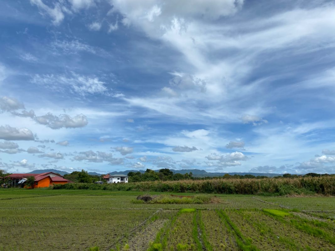
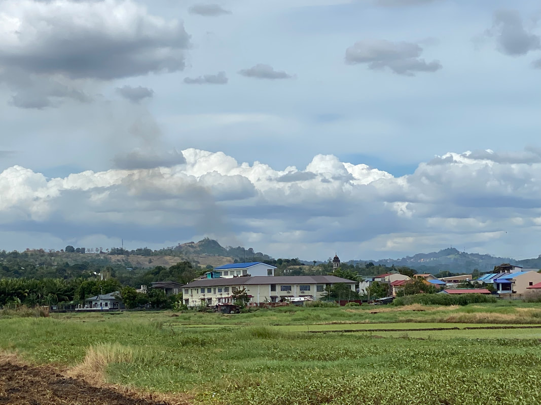
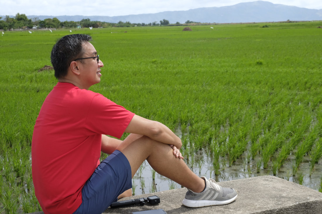
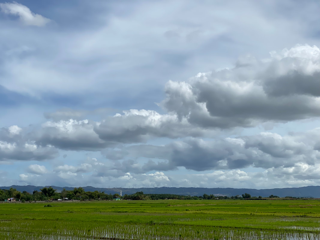
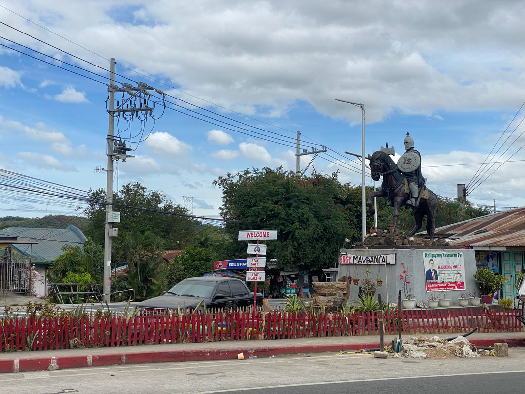
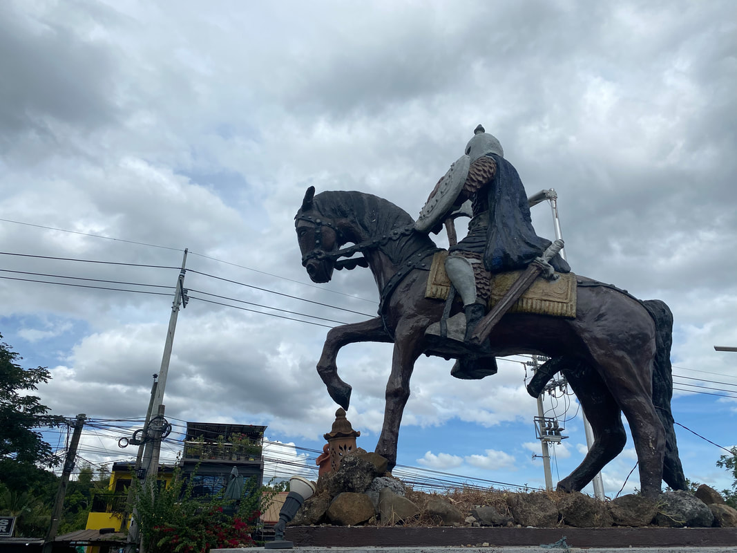

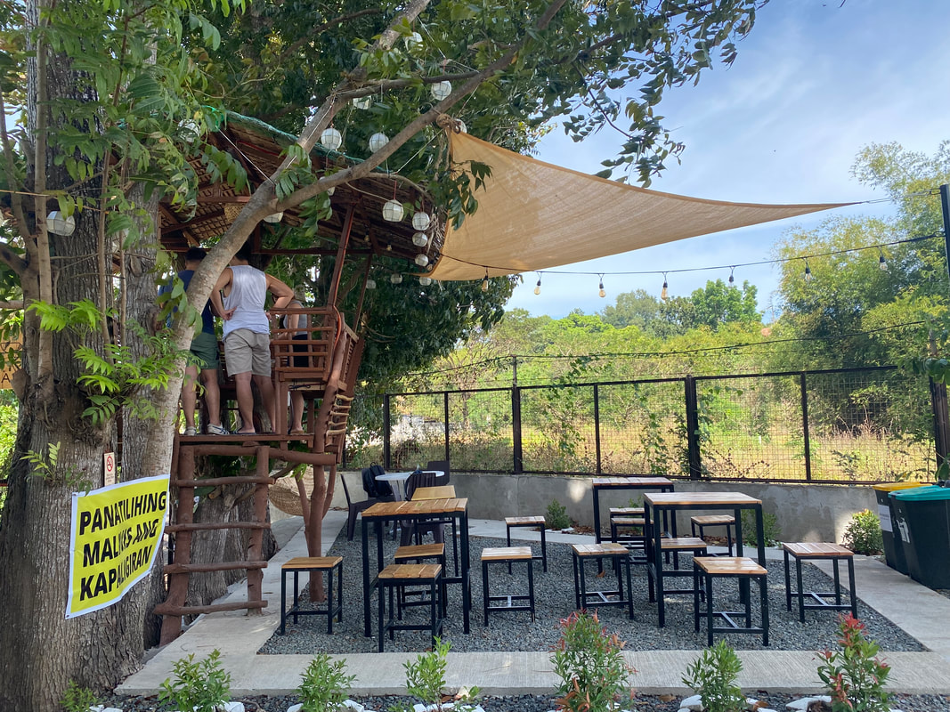
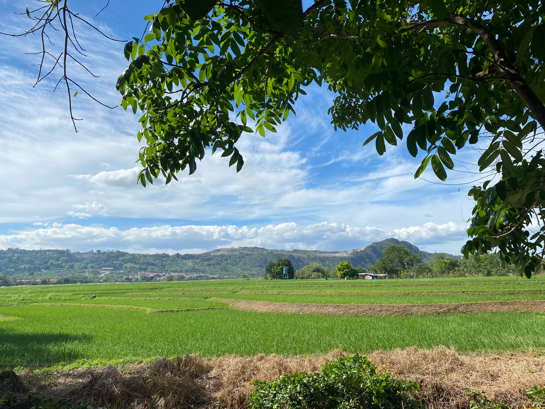
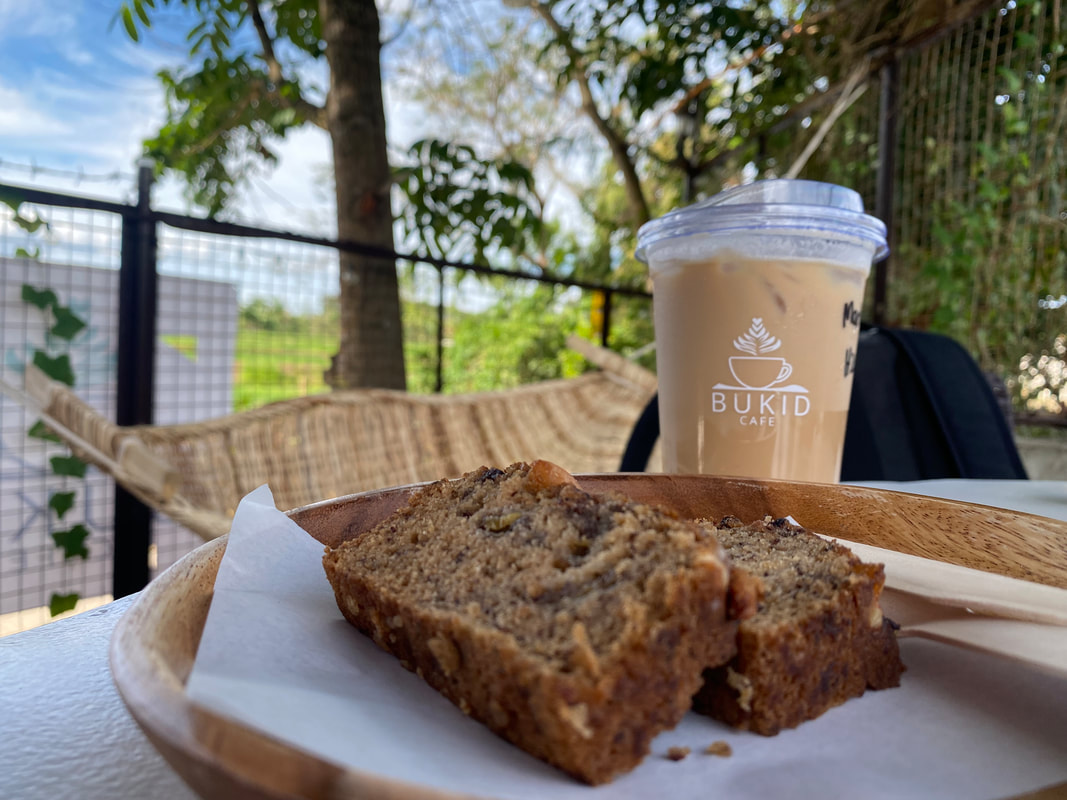
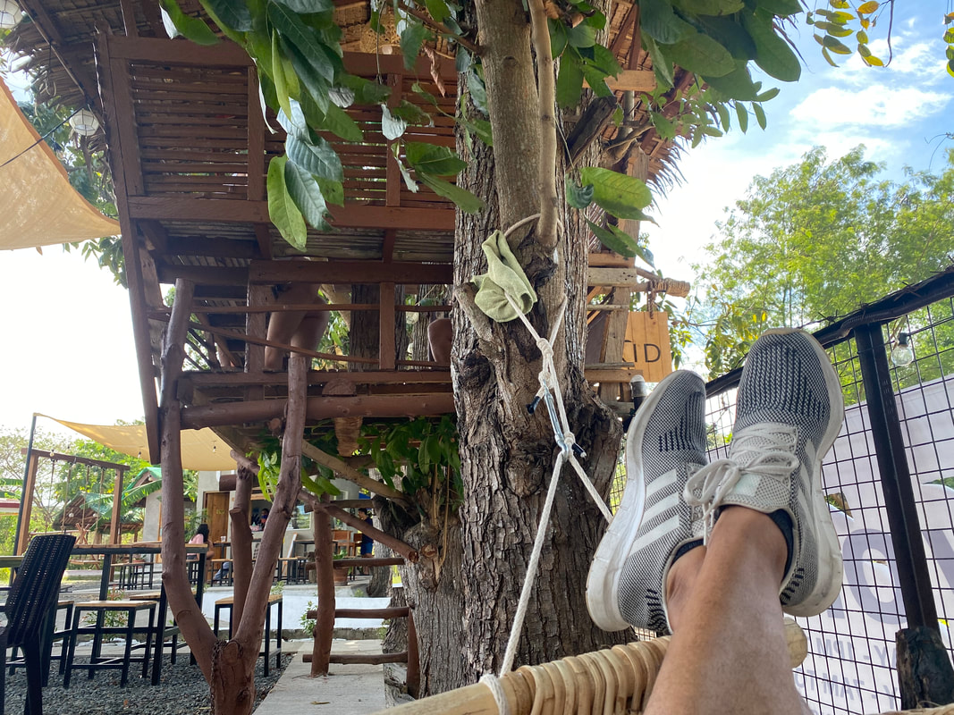

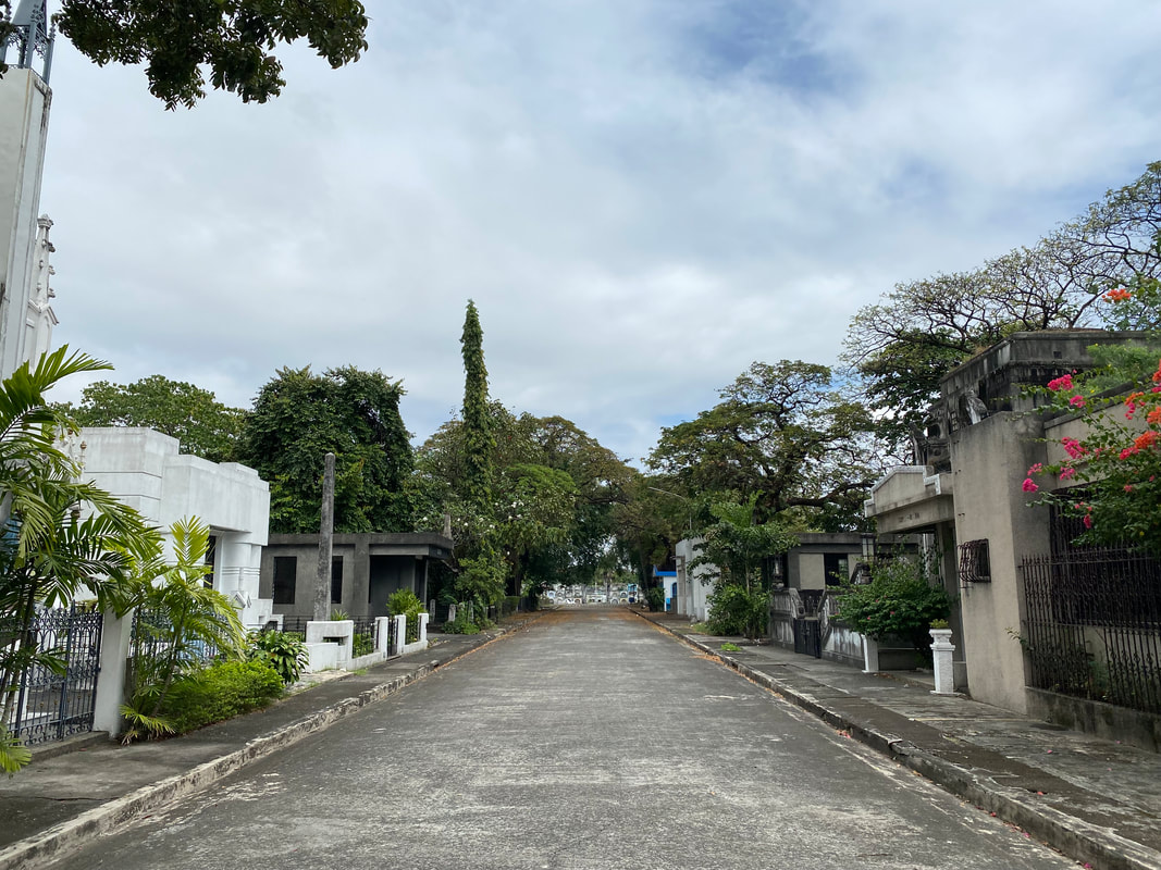
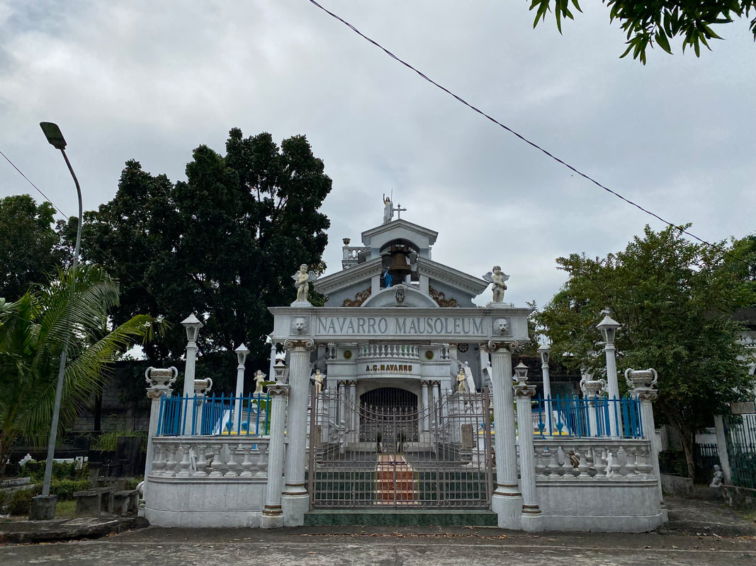
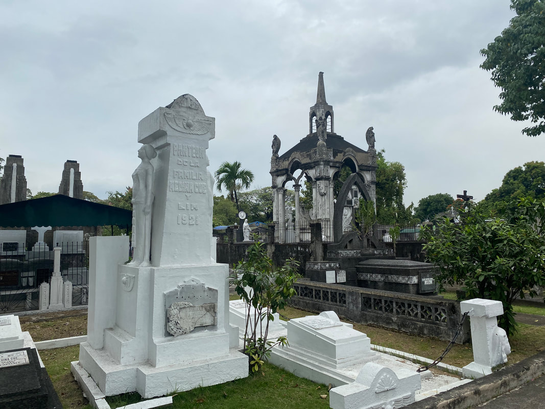
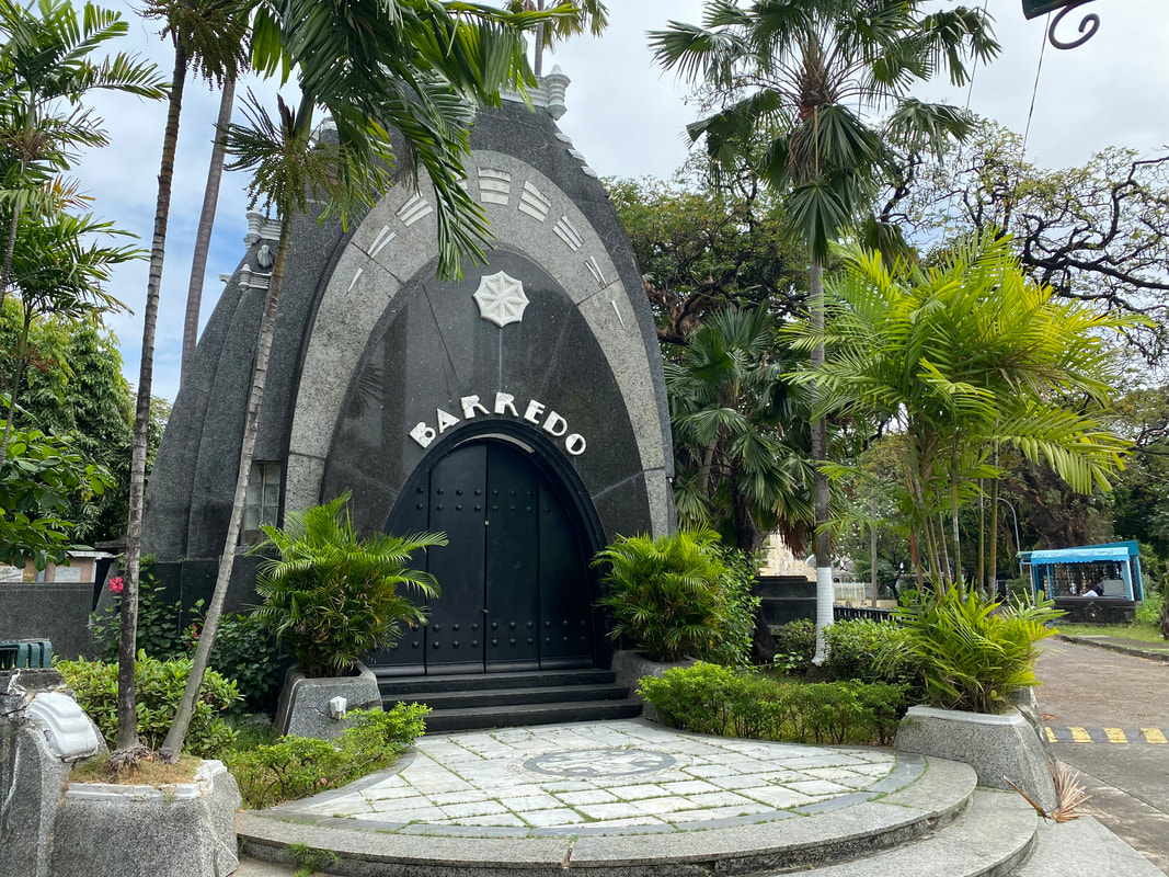
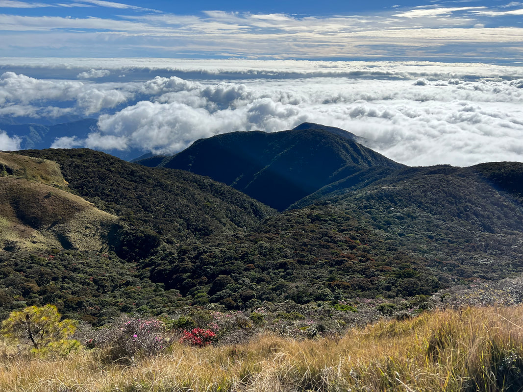
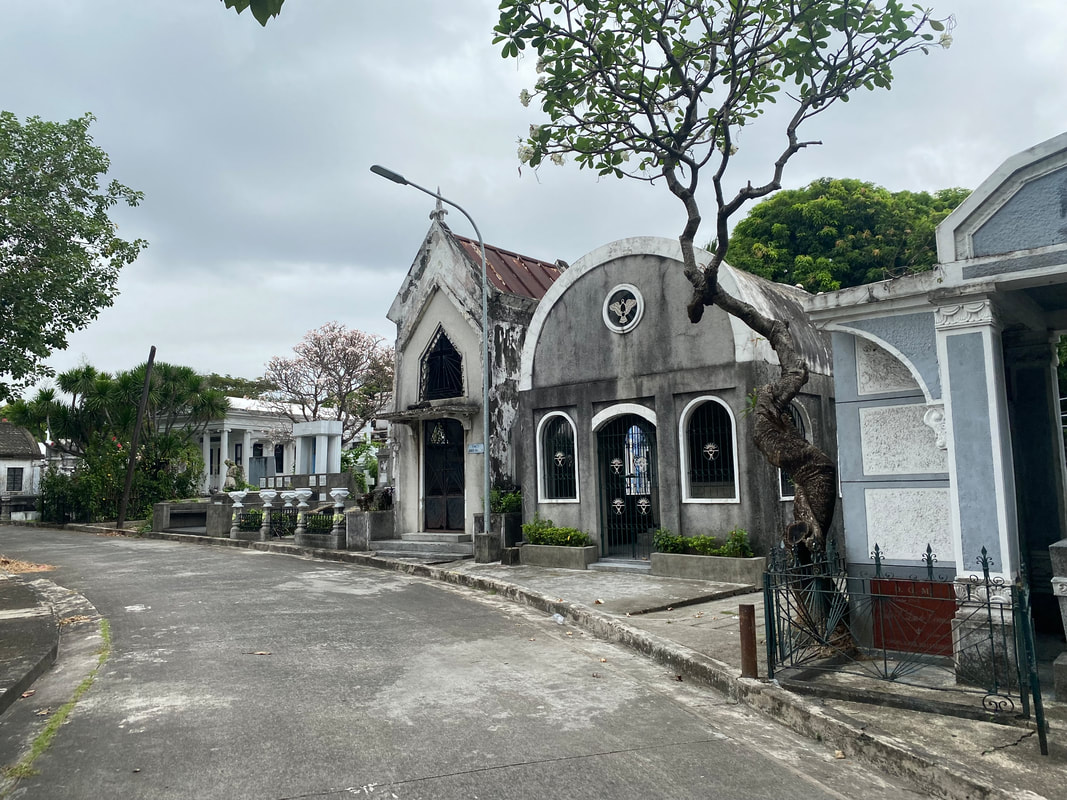
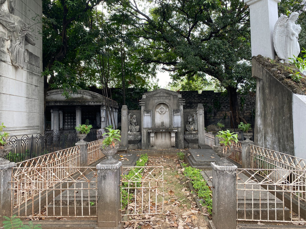
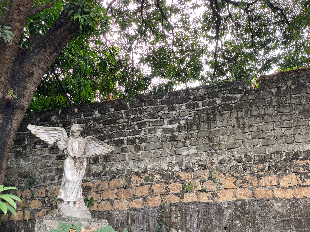
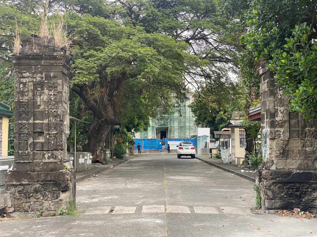
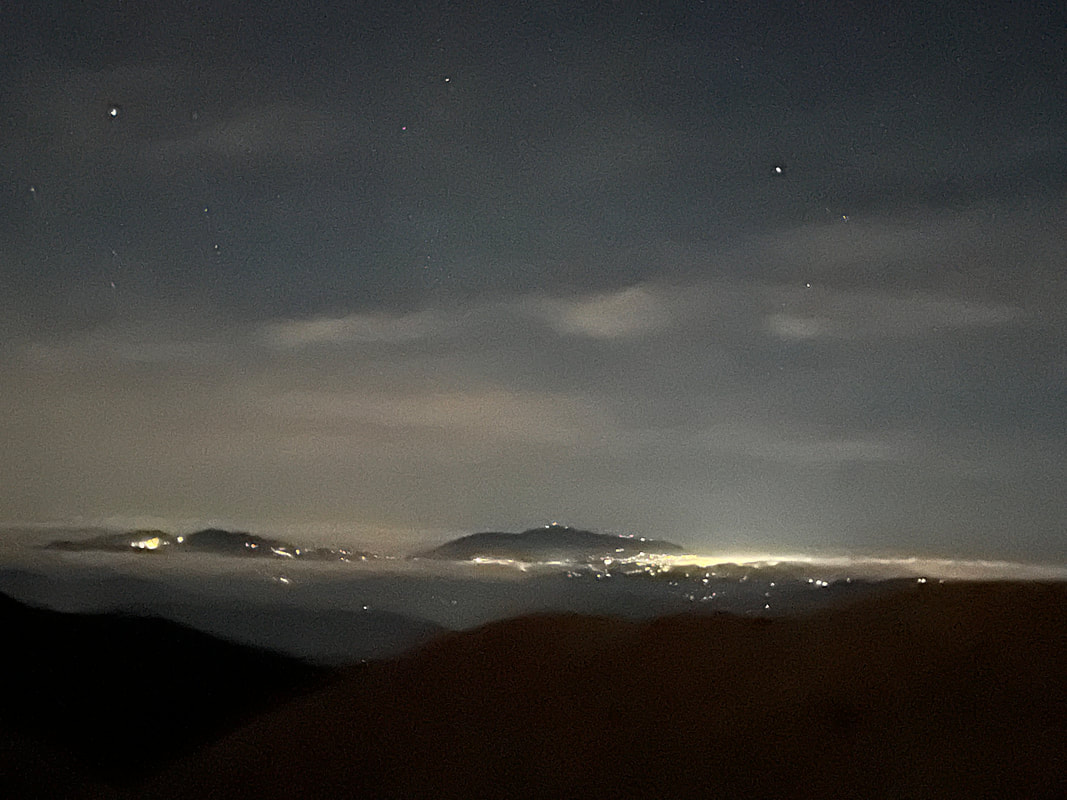
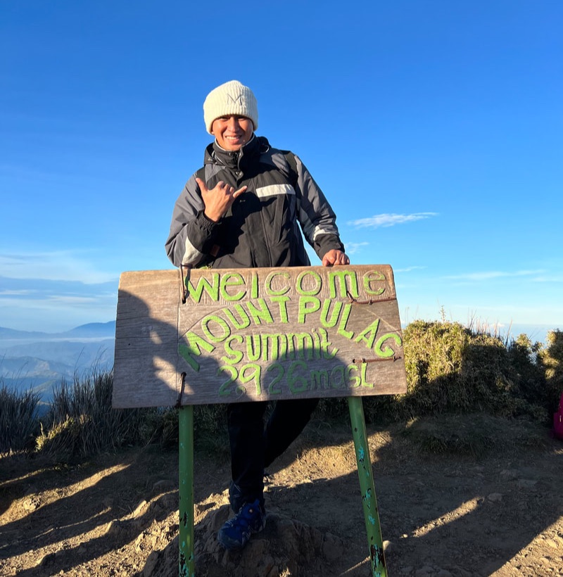
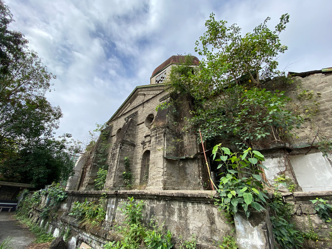
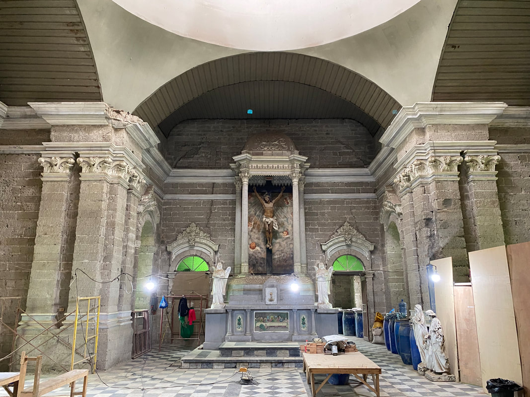
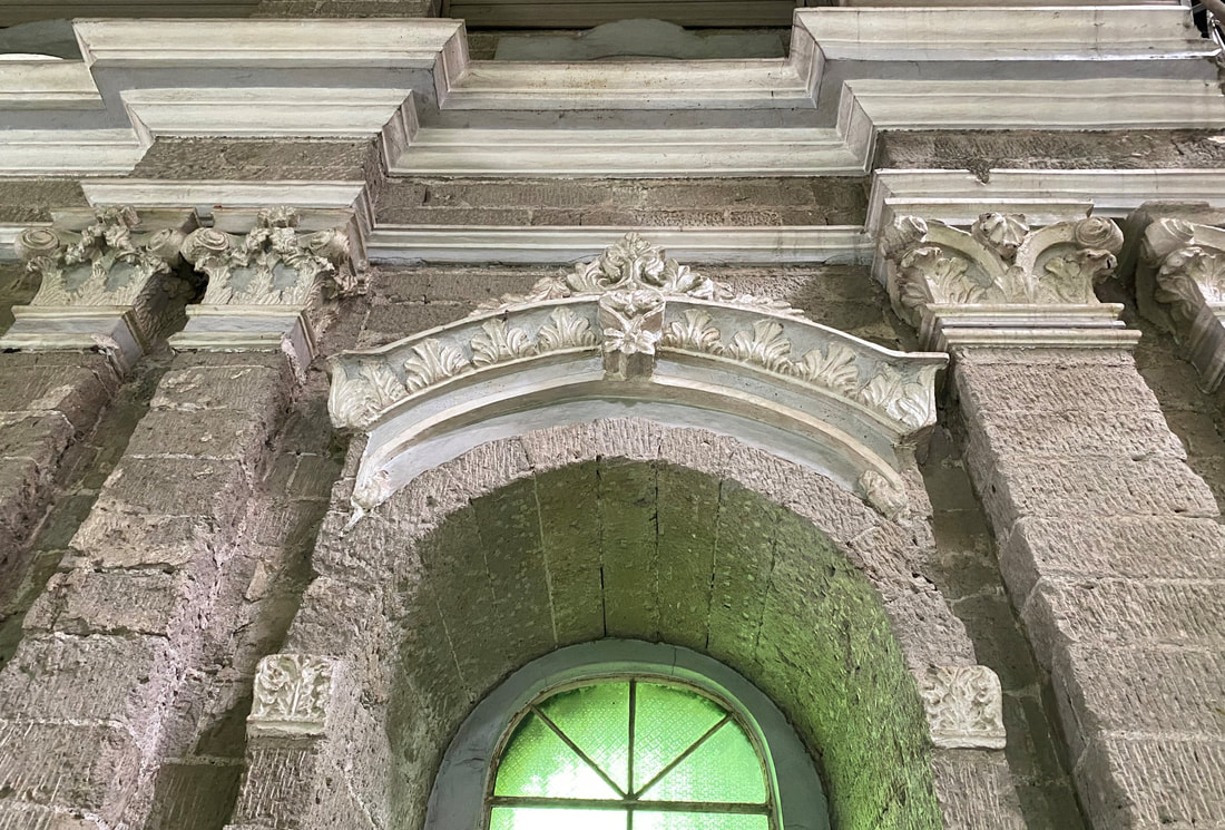
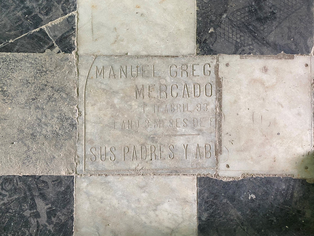
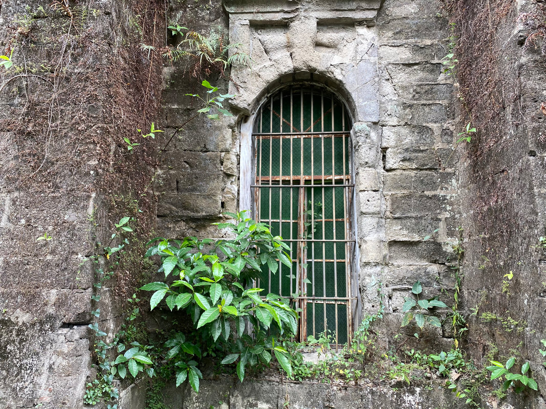
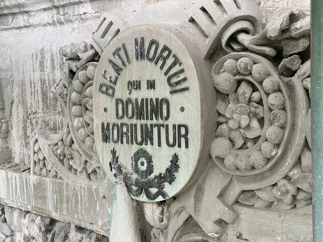
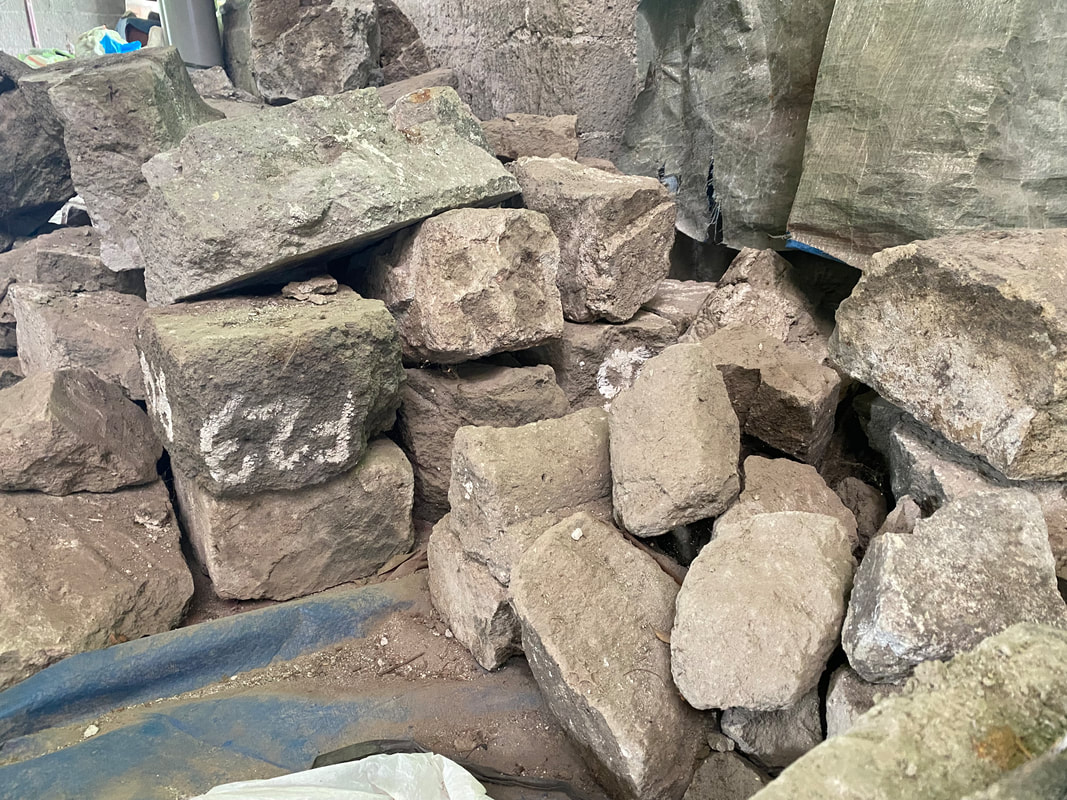
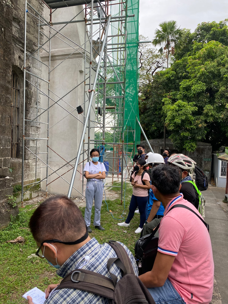


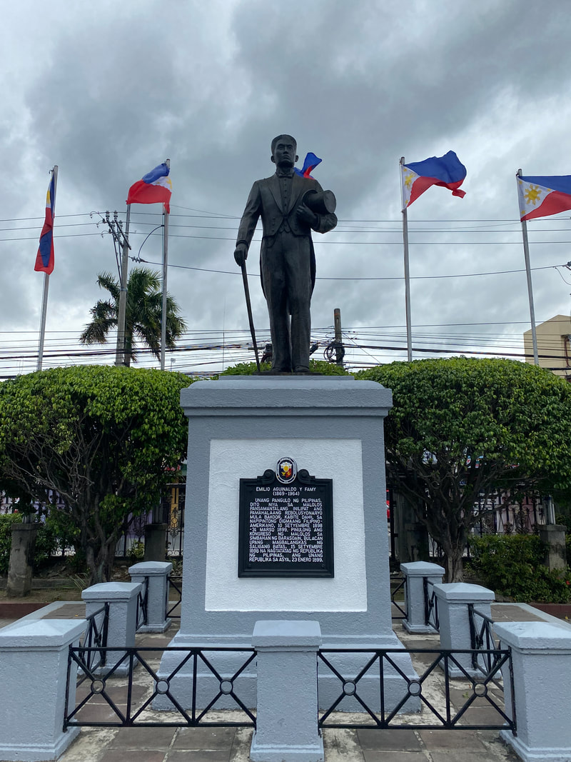
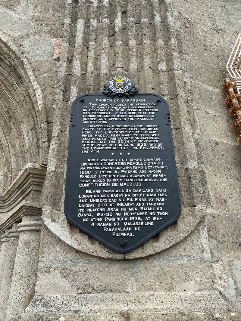
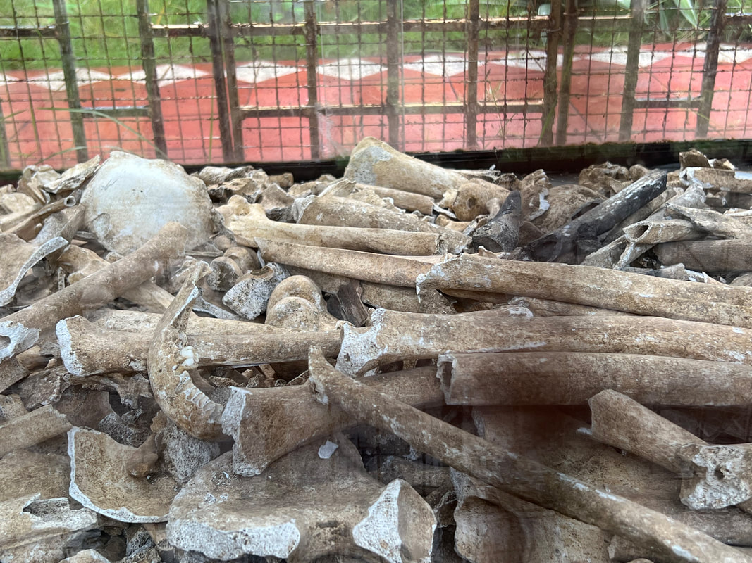
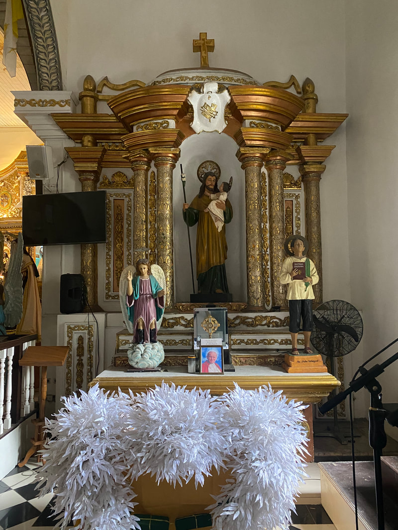
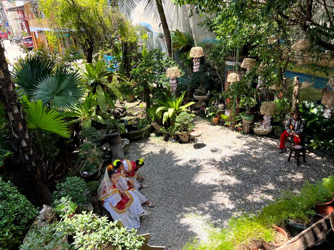
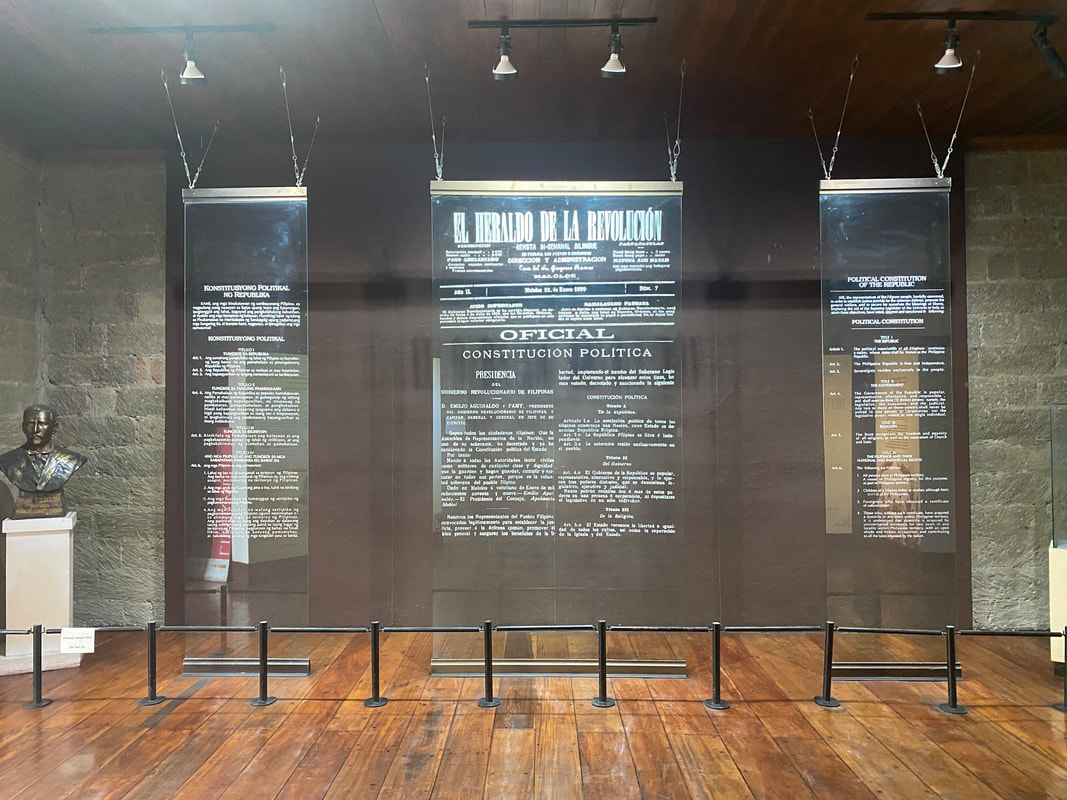
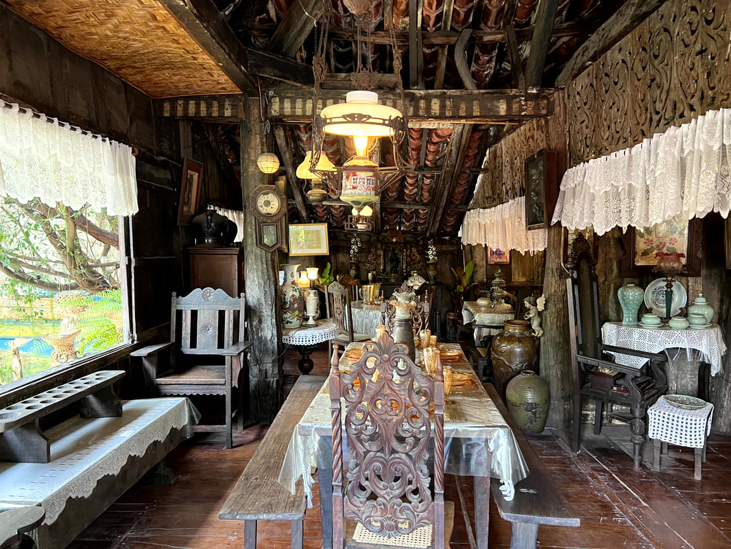
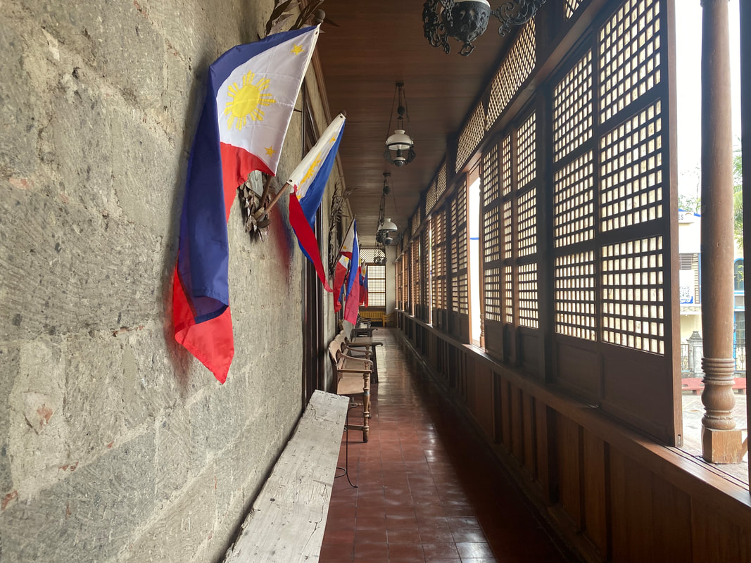
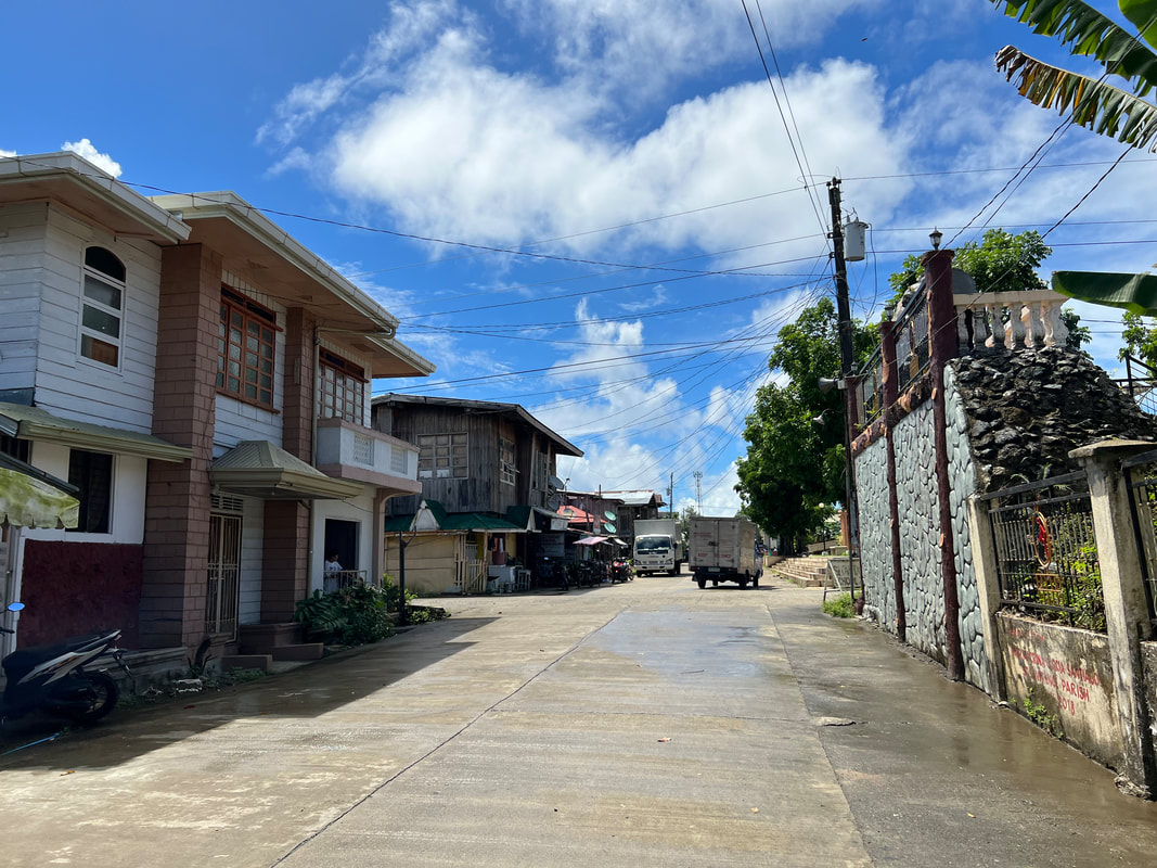
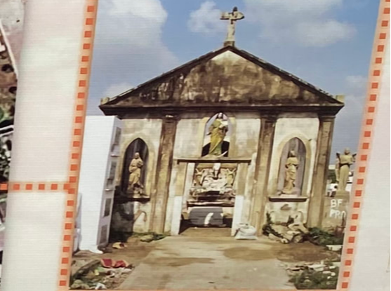

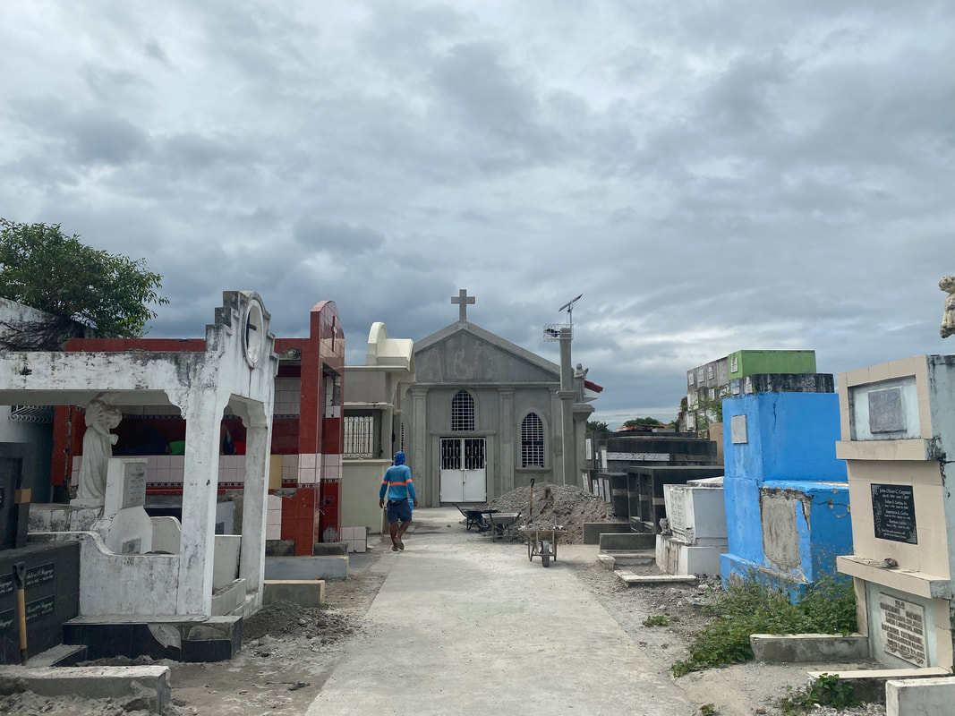
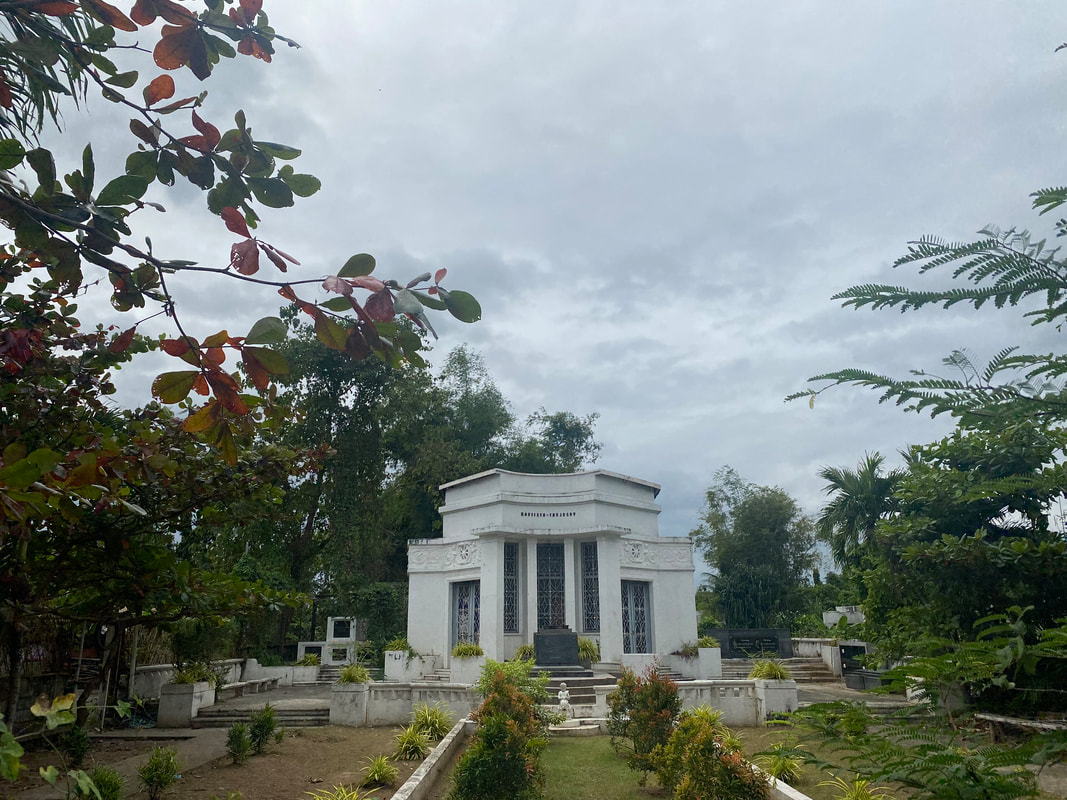
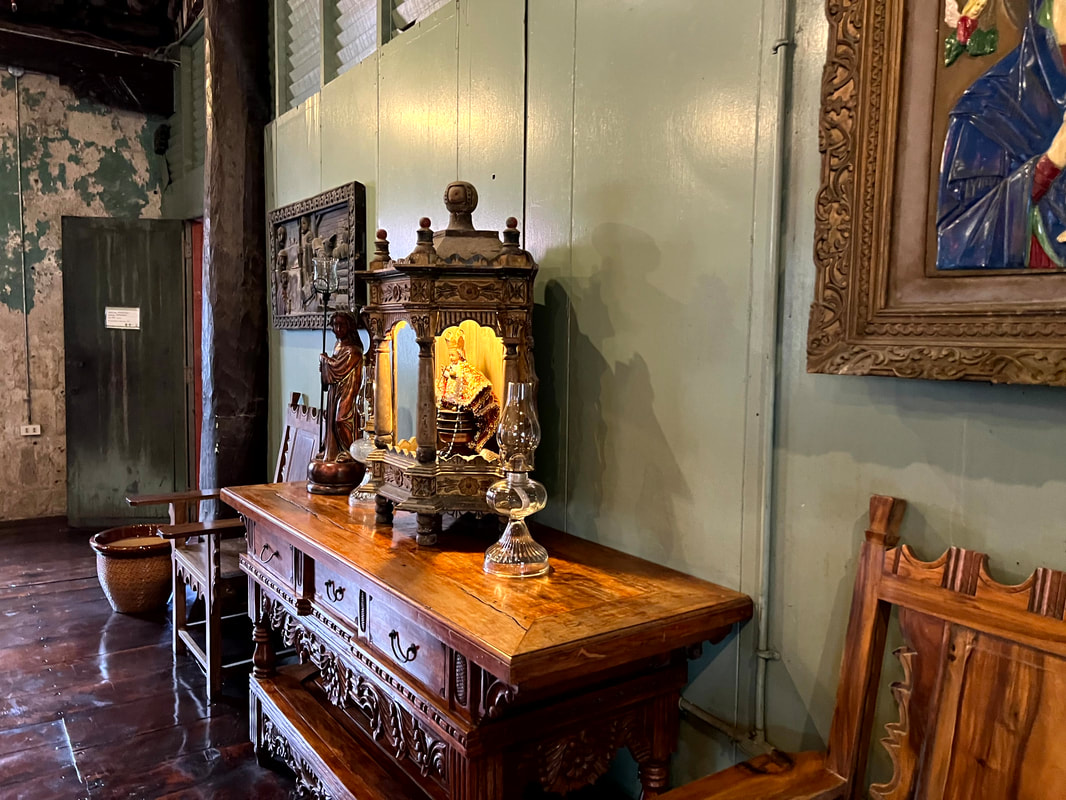
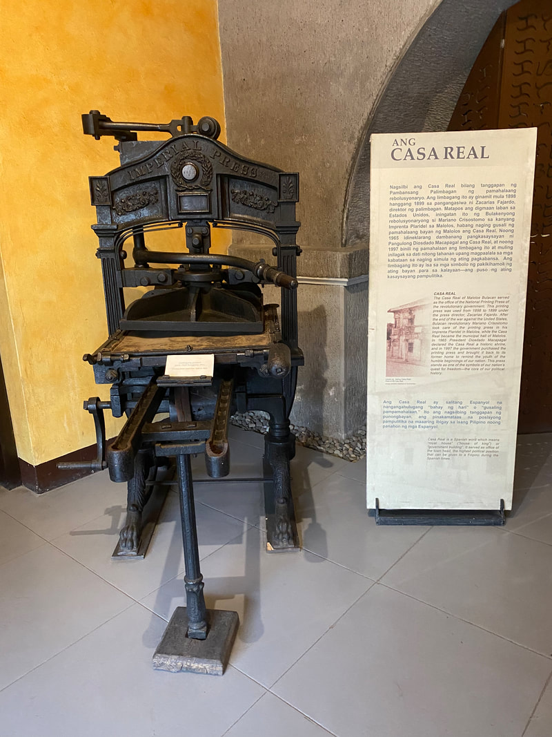
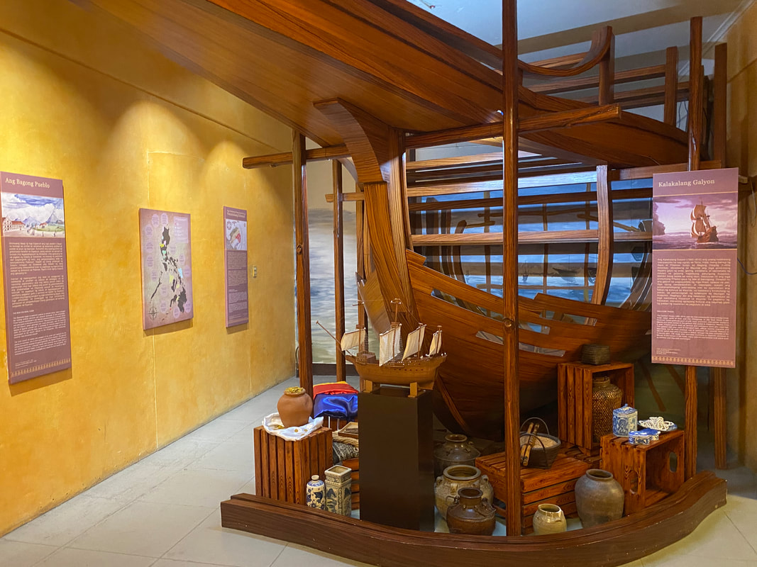
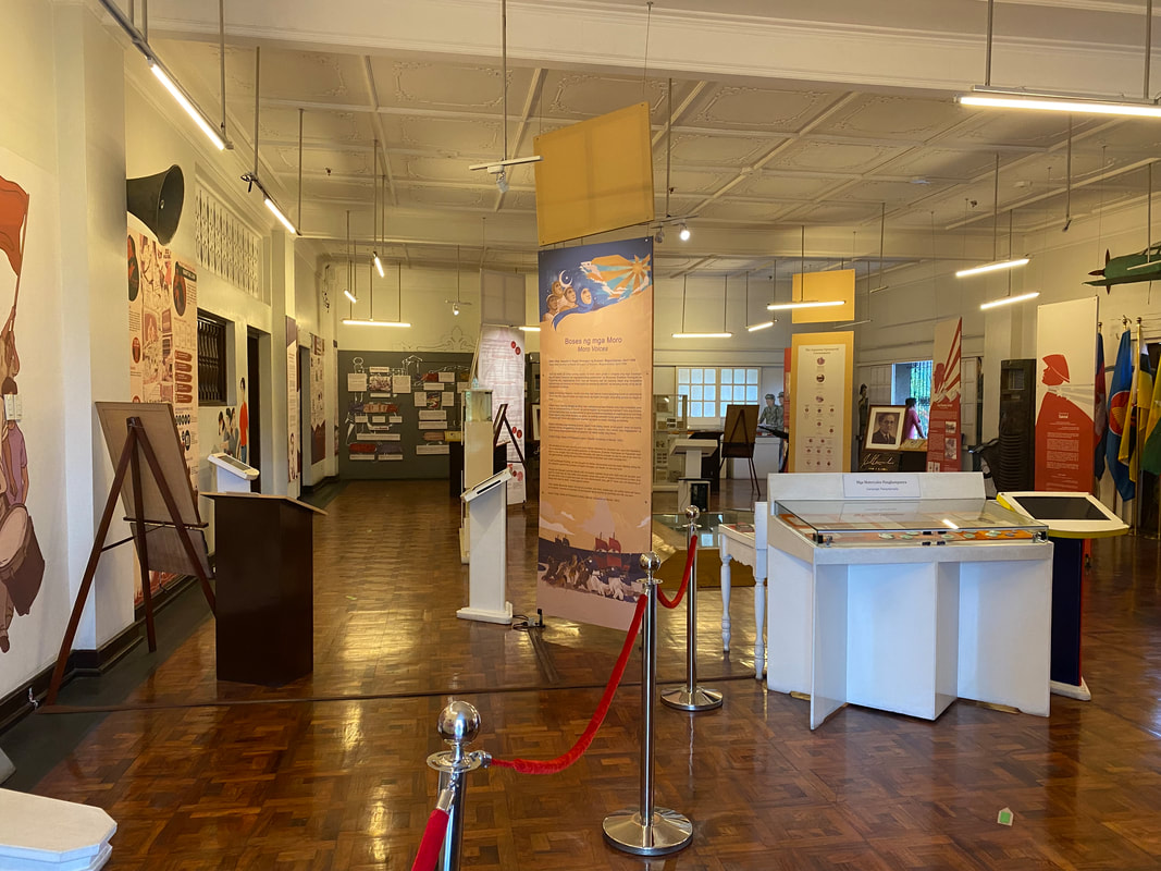
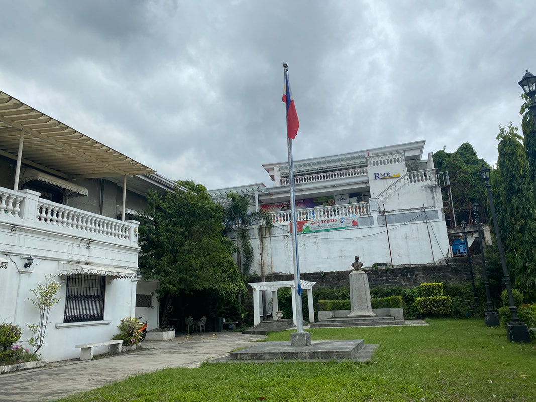
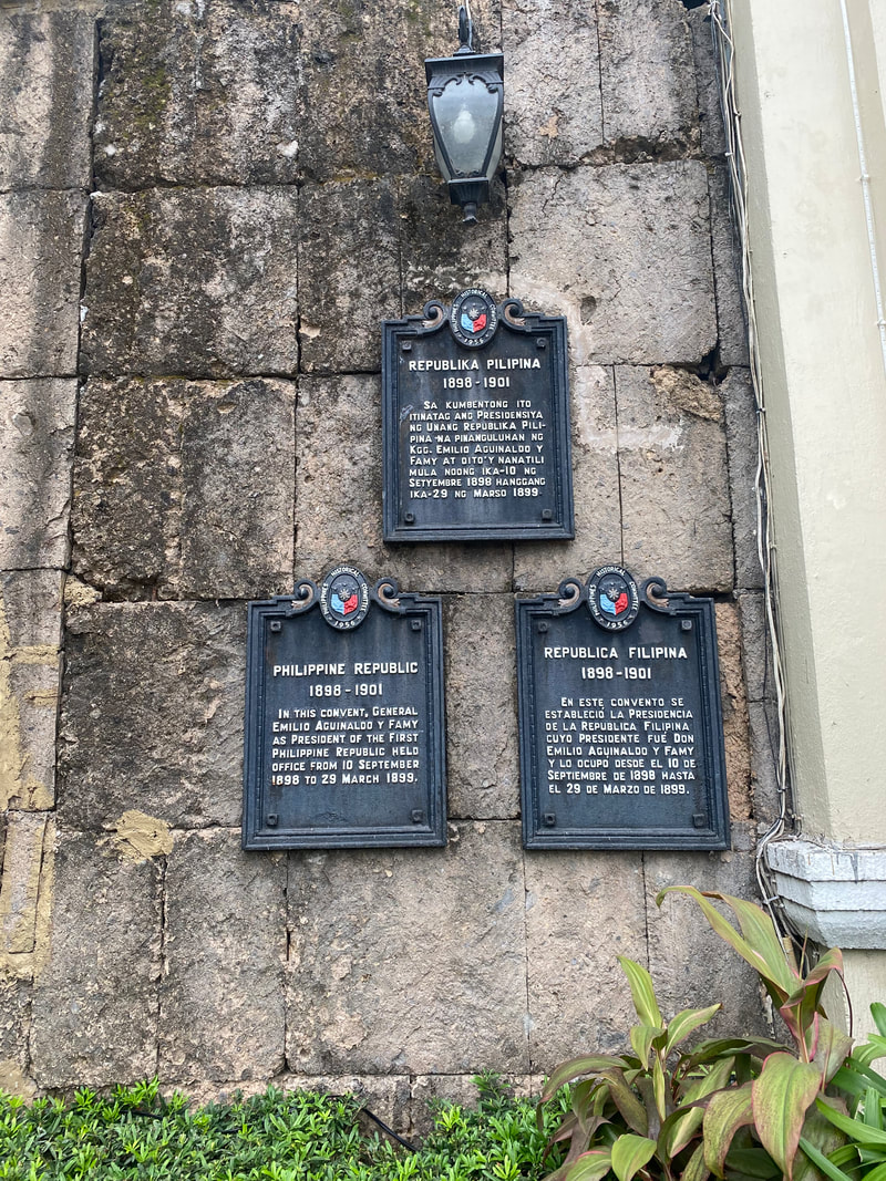
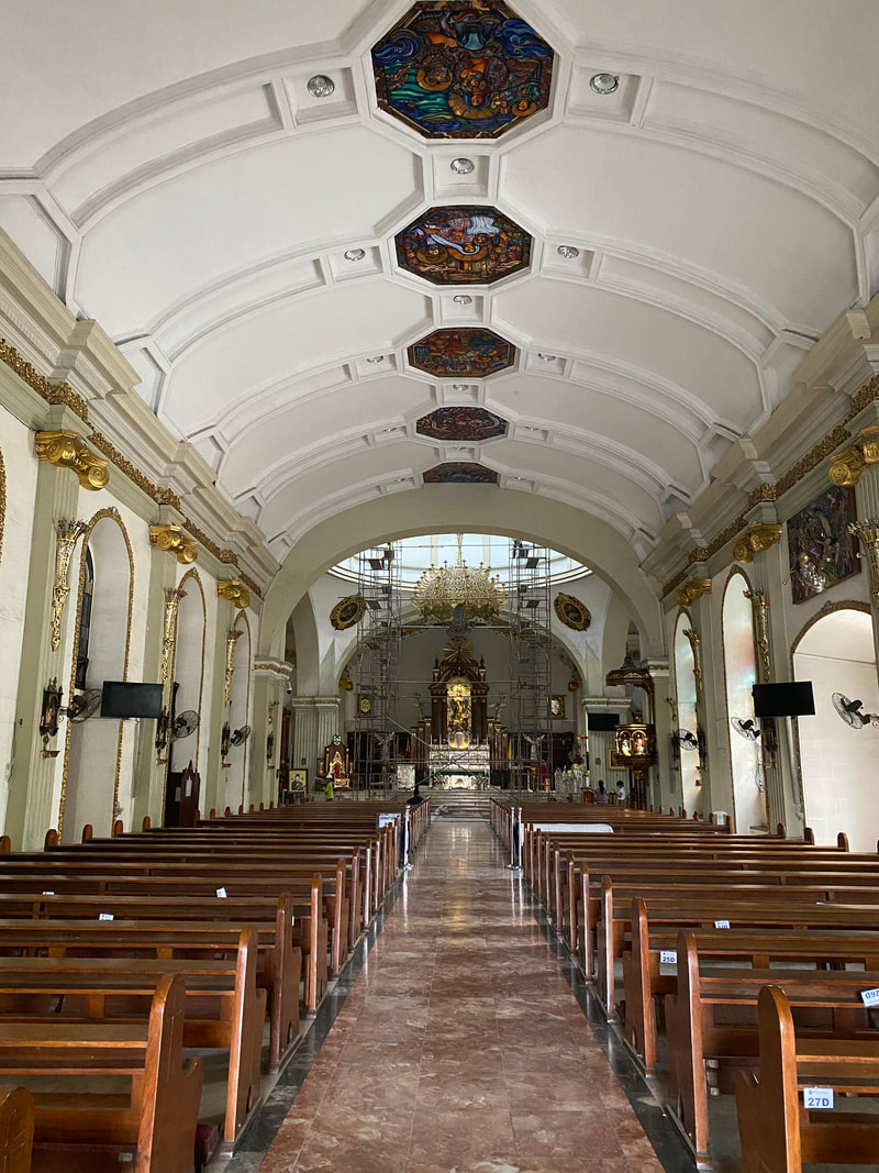

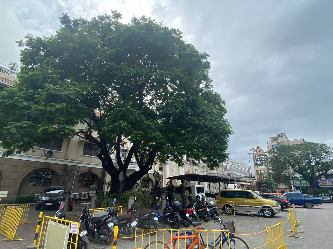
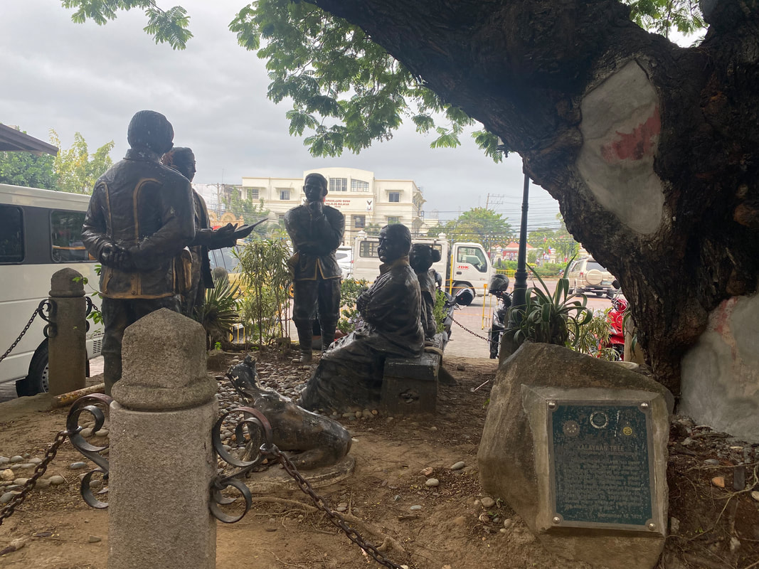
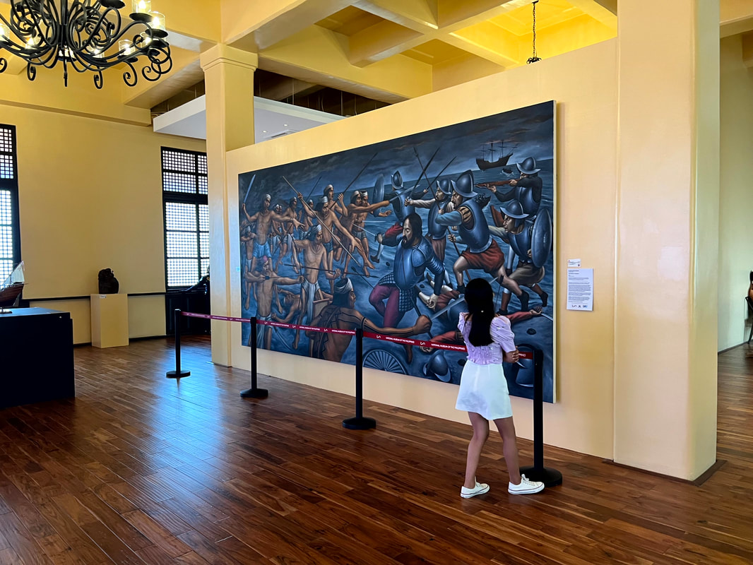
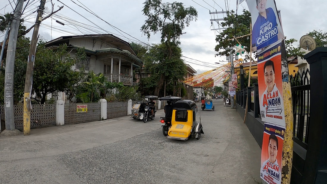
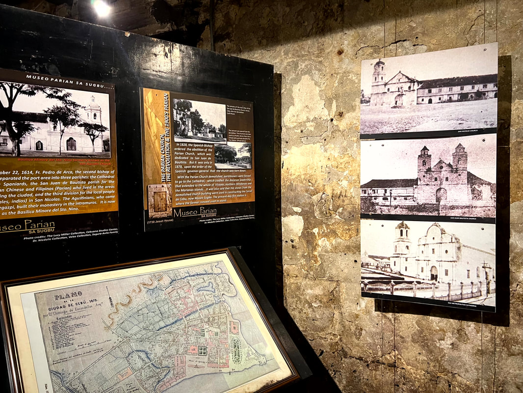
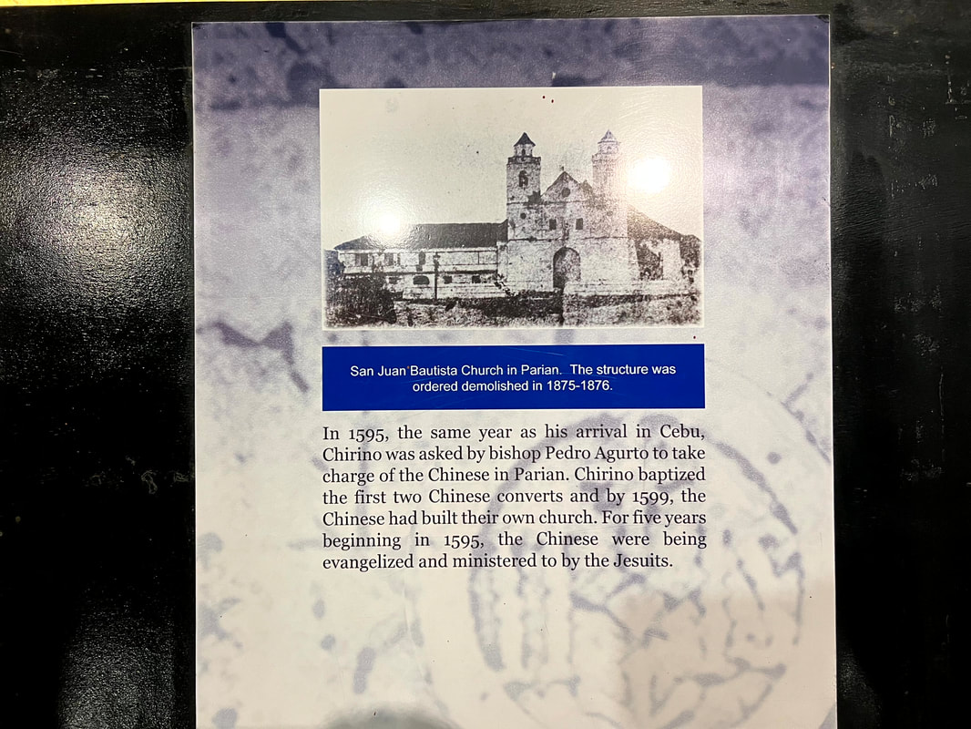


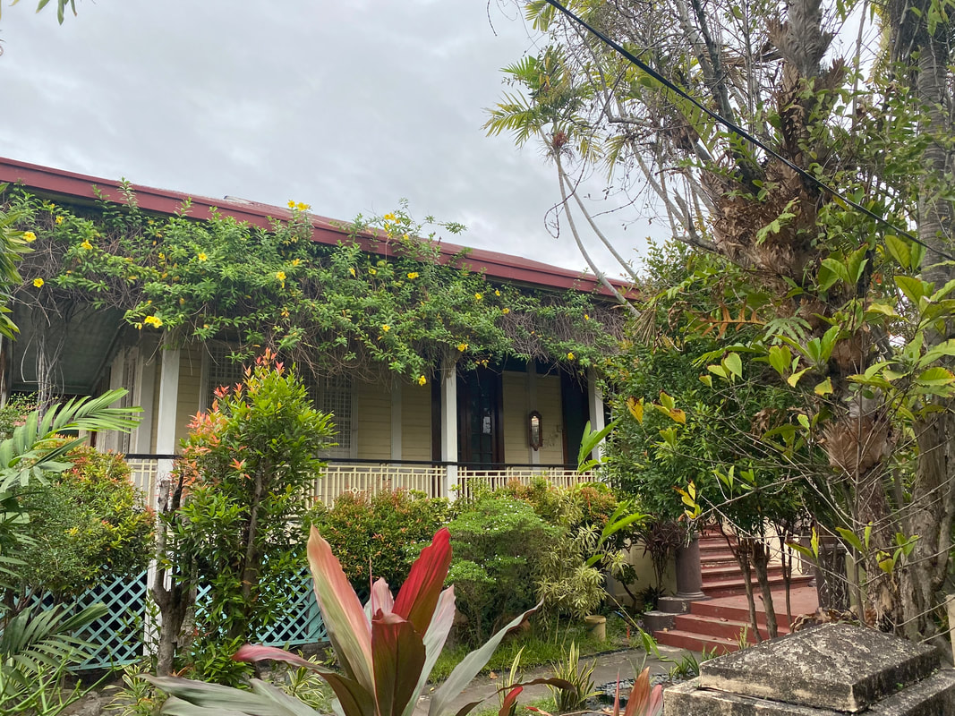
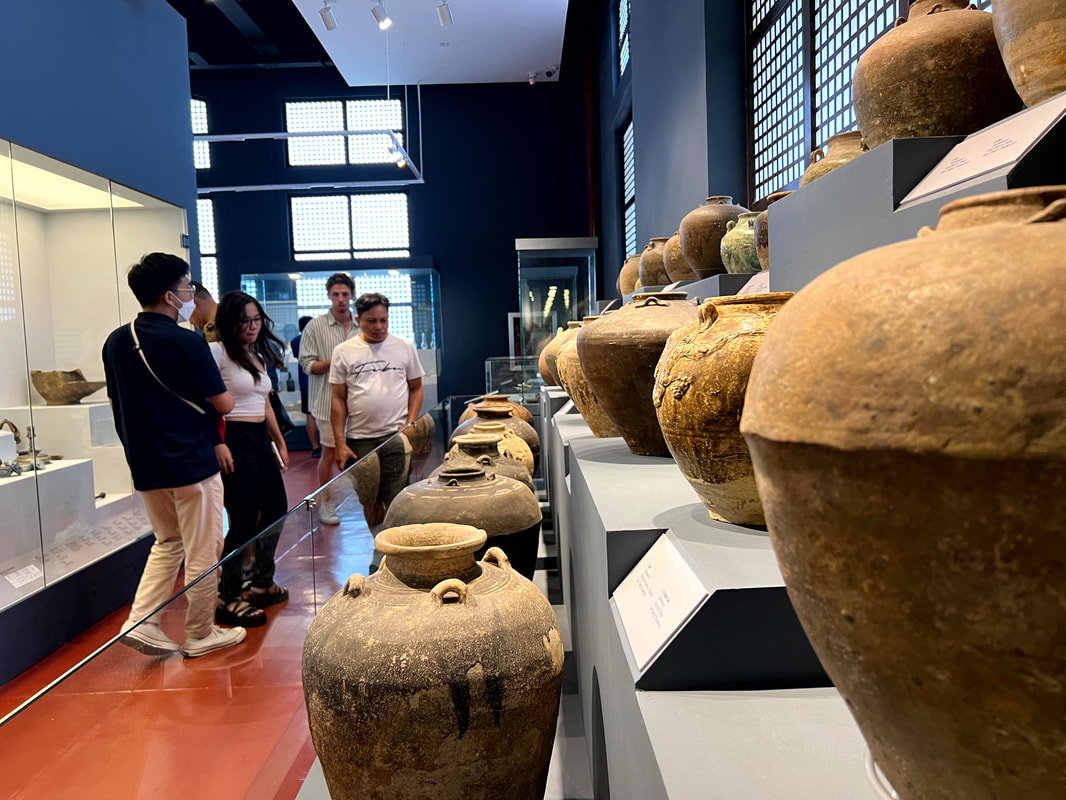

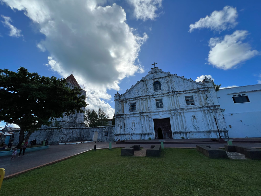
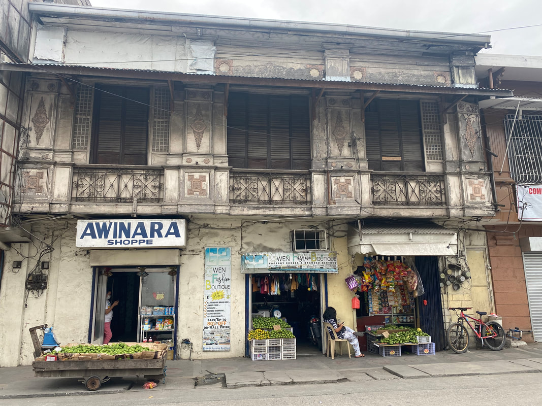
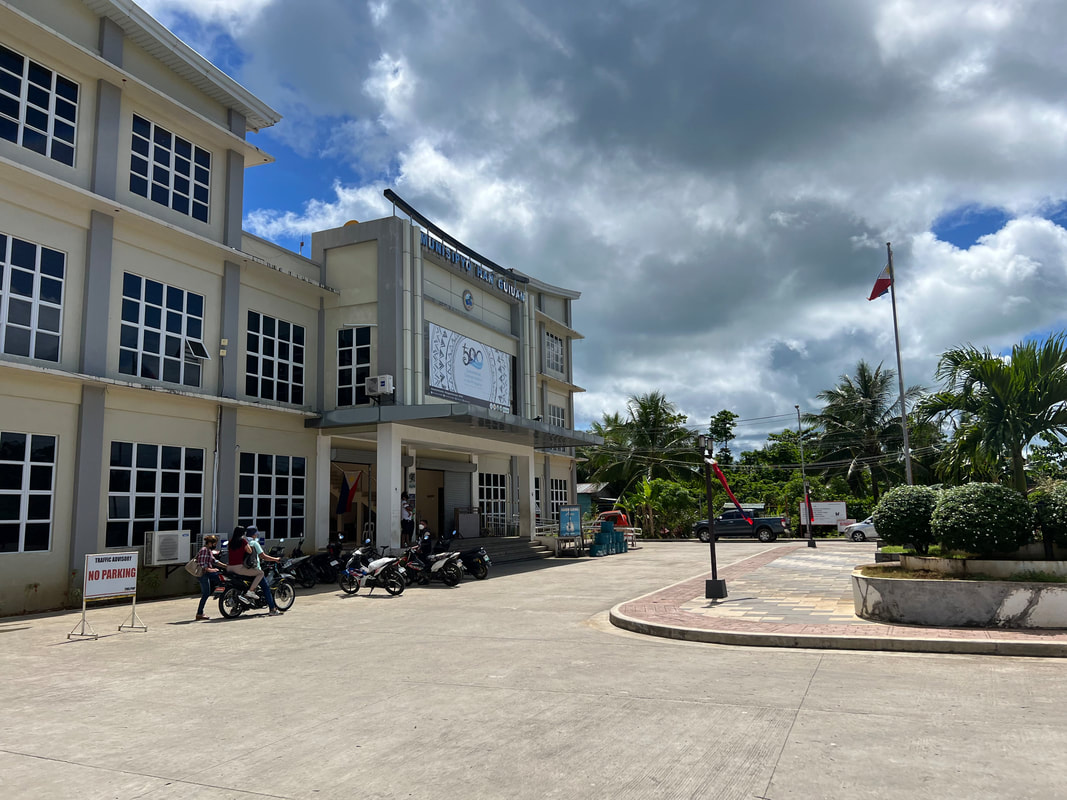
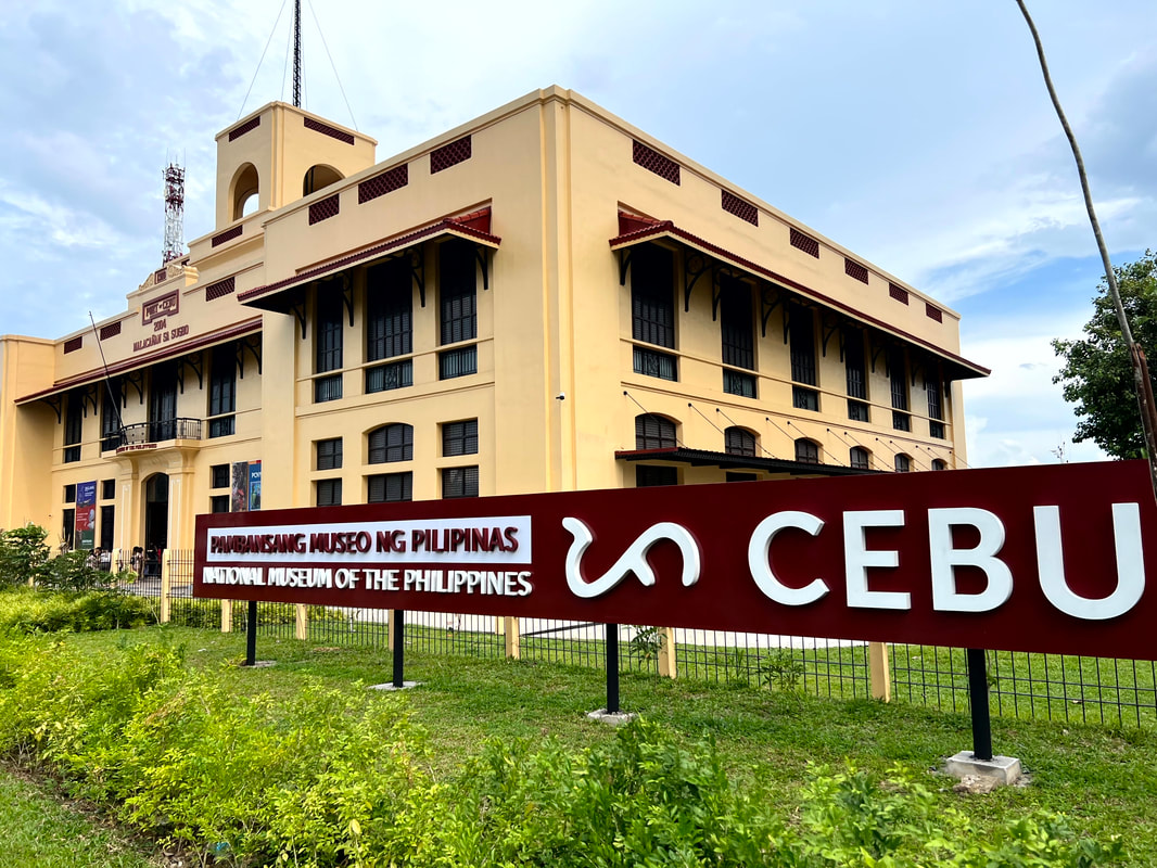
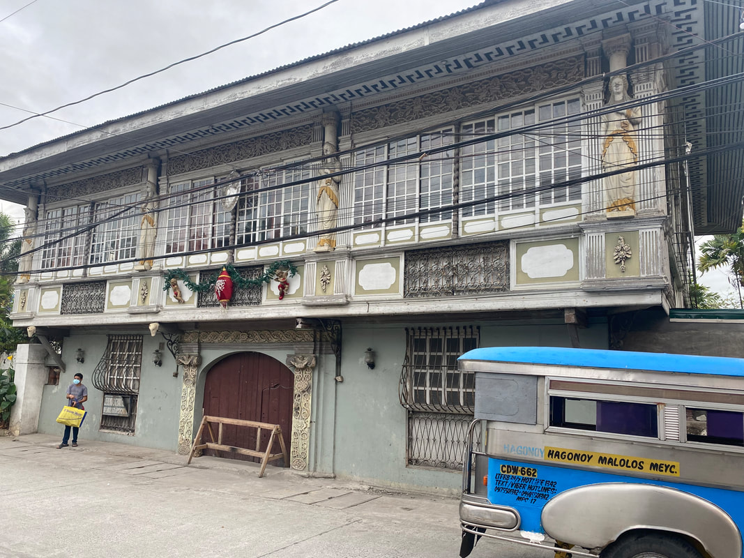
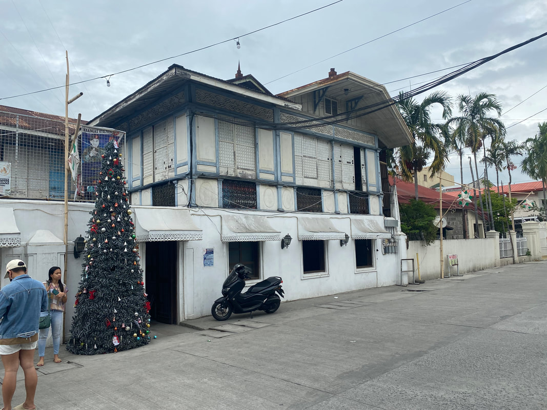
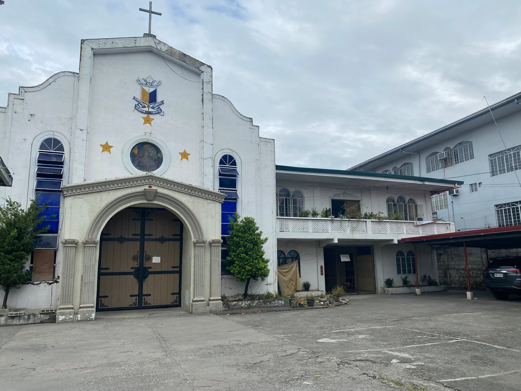
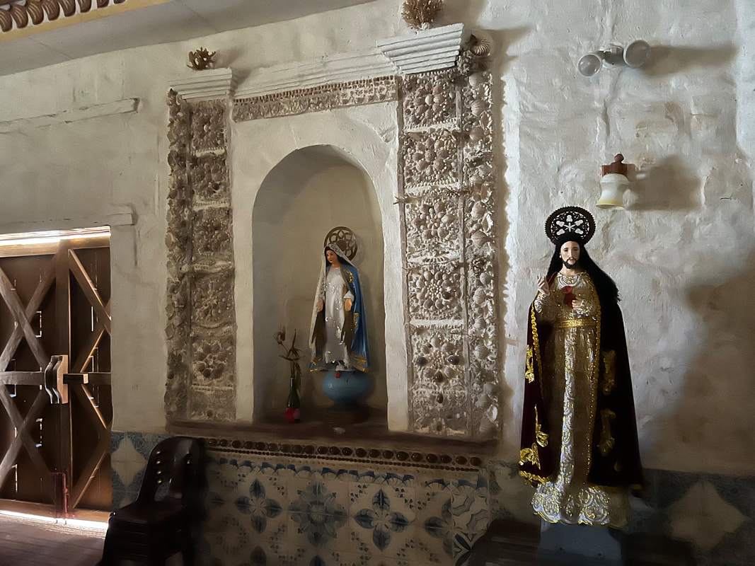
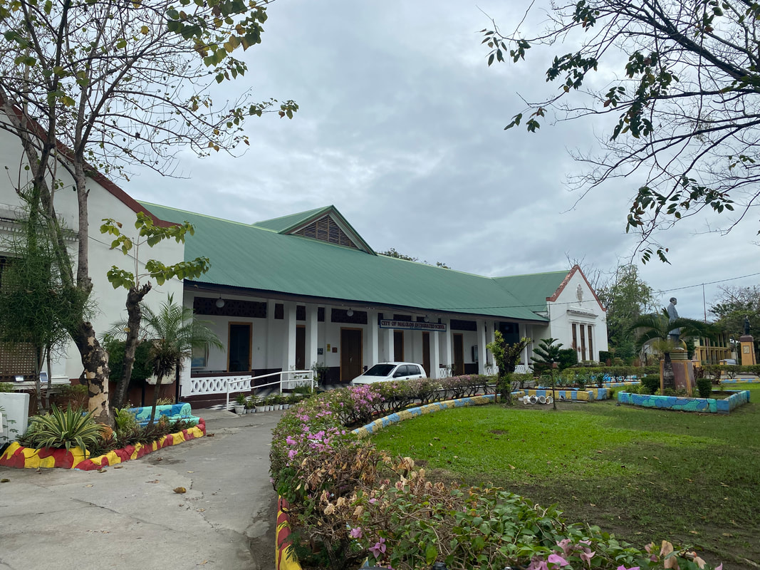
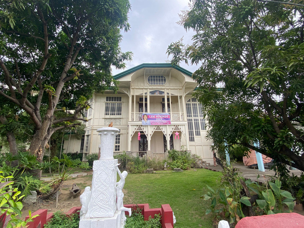
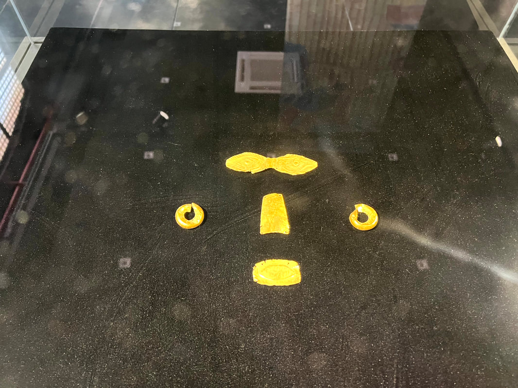
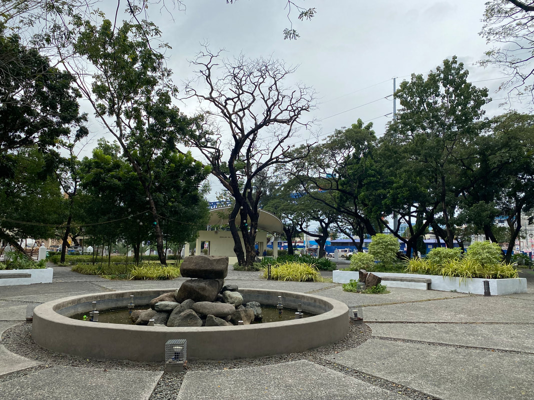
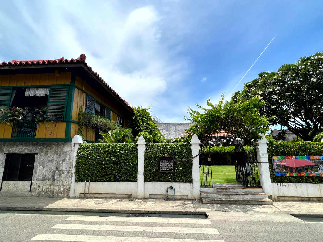
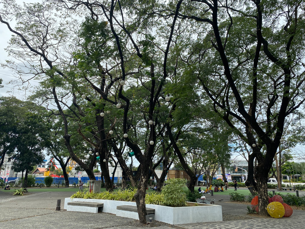


 RSS Feed